Dive slate · divesites.com.au · printed 9 Nov 2026
Rottnest Wreck Trail
Rottnest Island, Western Australia · near Rottnest Island (Thomson Bay settlement)
| Depth | 1–10 m |
|---|---|
| Minimum level | Snorkel/Any |
| Difficulty | Beginner |
| Access | Shore or Boat |
| Entry | Land plaques by bike/bus; snorkel from the beach at Uribes and Henrietta Rocks; boat for offshore wrecks |
| Current | Mild |
| Visibility | 3-15 m |
| Water | summer 21-24 °C, winter 17-19 °C |
| Suit | 5 mm full wetsuit in summer and autumn; 7 mm or 5 mm with hood and vest in winter and spring |
| Best season | Late summer and autumn (February-May) for calm easterly mornings and the warmest water; winter gives clear water between fronts |
| Bottom time | 45 min |
| Position | -31.99600, 115.54000 (approximate) |
| Permit | Rottnest Island Reserve; all wrecks protected under historic shipwreck legislation |
| Nearest chamber | Fiona Stanley Hospital Hyperbaric Medicine Unit (Murdoch, Perth) |
| Emergency | 000 · DAN Asia-Pacific diving emergency 1800 088 200 |
Rottnest Wreck Trail
Also known as Rottnest Wrecks Heritage Trail, Rottnest shipwreck trail
Thirteen historic wrecks linked by plaques and plinths, with two easy snorkel wrecks and a land trail from the museum to Bathurst Lighthouse.
Near Rottnest Island (Thomson Bay settlement) · Rottnest Island, Western Australia
- Depth
- 1–10 m
- Minimum level
- Snorkel/Any
- Access
- Shore or Boat
- Boat ride
- Shore entry
- Water
- 21-24 °C
- Visibility
- 3-15 m
Rottnest Wreck Trail1–10 m · Snorkel/Any · Shore
Dive factsDepths, conditions, location & safety
Season
Off-peak nowBest months: January, February, March, April, May, June, July, August, December.
Late summer and autumn (February-May) for calm easterly mornings and the warmest water; winter gives clear water between fronts
- Best months
- Now (November)
Dive facts
- Depth
- 1–10 m
- Typical depth
- 5 m
- Certification
- Snorkel/Any
- Difficulty
- Beginner
- Depth tier
- Easy (0–10 m)
- Access
- Shore or Boat
- Dive centre needed
- No – independently diveable
- Shore / independent
- Yes
- Current
- Mild
- Visibility
- 3-15 m
- Water temp (summer)
- 21-24 °C
- Water temp (winter)
- 17-19 °C
- Water
- Temperate
- Bottom time
- 45 min
- Dive traffic
- Very popular (dived daily)
- Night dive
- No
- Snorkel friendly
- Yes
Exposure suit
5 mm full wetsuit in summer and autumn; 7 mm or 5 mm with hood and vest in winter and spring
Location
Island-wide · Rottnest Island (Wadjemup)
-31.99600, 115.54000
Approximate position — not for navigation.
Open in Google MapsDive site map (external) →Primary source: museum.wa.gov.auMarine park & permits
Rottnest Island Reserve; all wrecks protected under historic shipwreck legislation
Nearest recompression chamber
Fiona Stanley Hospital Hyperbaric Medicine Unit (Murdoch, Perth)
Diving emergency: call 000, then DAN AP 1800 088 200.
Trip planner
Build a trip around Rottnest Wreck Trail →
A day-by-day plan for Rottnest Island with this site locked in.
This guide is a planning aid. Conditions change daily — confirm with a local dive centre and dive within your training. Data & safety notes.
Dive profile
How this site rates
Scores are computed from the recorded data, not opinions. How?
At a glance
Rottnest Wreck Trail is a wreck shore dive you can do independently in Rottnest Island, WA, 1–10 m, suitable for snorkellers and first-time divers.
Rated beginner: sheltered, shallow and manageable for a newly certified diver on a normal day, though note boat traffic overhead.
Why dive here
- Thirteen historic wrecks linked by plaques and plinths, with two easy snorkel wrecks and a land trail from the museum to Bathurst Lighthouse.
- Snorkel-friendly, so non-diving companions can join at the surface.
Conditions to avoid
- Strong southerly or south-east swell and wind
- Afternoon north-easterlies
About Rottnest Wreck Trail
Rottnest has more than a dozen recorded shipwrecks, and the WA Museum and Rottnest Island Authority have turned them into a heritage trail that works on land, on the surface and underwater. Plaques were placed both beside the wrecks and on shore, and underwater plinths mark the Transit, Gem, Raven and others. The Museum's trail guide covers the Transit (1842), Gem (1876), Lady Elizabeth (1878), Macedon (1883), Mira Flores (1886), Janet (1887), Denton Holme (1890), Raven (1891), City of York (1899), Shark (1939) and Uribes (1942); Wikipedia's list adds the Ulidia (1893, on Stragglers Reef), the yacht Anitra II (1979, Cape Vlamingh) and the Kiryo Maru I (1984).
The land trail starts at the museum and leads to an overlook with the areas where the Macedon, Denton Holme, Janet, Transit and Gem were lost, and anchors from the Mira Flores and City of York, before continuing to Bathurst Point Lighthouse and the Leeman monument. For swimmers, the Museum recommends only two wrecks as snorkel dives: the sand-filled Uribes at the Natural Jetty and the Shark barge at Henrietta Rocks, both metres from shore and only in calm seas. The Thomson Bay wrecks are visited by glass-bottomed and semi-submersible tour boats and are the easiest scuba wrecks.
The trail is a good framework for a Rottnest holiday: it links the island's history of reefs, lighthouses and pilots with sites for every level from non-swimmer to Advanced diver. All the wrecks are protected under Commonwealth and State maritime archaeology legislation. Maps are available from the Visitor Centre.
Wreck details
Multiple (1842-1984)
Getting there & entry
WA Museum and Rottnest Island Authority heritage trail linking 13 historic wrecks around Rottnest by land plaques and underwater plinths, with Uribes and Shark as the recommended snorkel sites.
Catch the ferry from Fremantle, Perth or Hillarys to Thomson Bay and collect a trail map at the Visitor Centre. The land trail starts at the Rottnest museum and runs to an overlook with views over the Transit Reef wreck sites and the Mira Flores and City of York anchors, then on to Bathurst Lighthouse. Cycle or use the Island Explorer bus to the plaques around the island: Uribes near Stop 4 and the Shark at Henrietta Rocks (Stop 3) are the two snorkel stops.
The offshore wrecks need a boat or dive charter from Fremantle.
Entry: Land plaques by bike/bus; snorkel from the beach at Uribes and Henrietta Rocks; boat for offshore wrecks
Facilities: Visitor Centre (maps), museum, Thomson Bay settlement shops, toilets and showers, bike and snorkel hire, Island Explorer bus.
Weather, swell & tides
Choose the side of the island in the lee: north-coast wrecks (Macedon, Denton Holme, Janet, City of York, Mira Flores) in southerly and easterly winds; south-coast sites (Shark, Lady Elizabeth) in northerly and north-easterly winds. The Museum stresses that Uribes and Shark should only be snorkelled in calm conditions. General pattern at Rottnest: summer brings calm morning easterlies followed by a strong south-westerly sea breeze from late morning, so dive early; winter brings north-westerly fronts and large swell, with clear, calm spells between them.
Check the Bureau of Meteorology coastal forecast for swell height and period before committing.
Best season: Late summer and autumn (February-May) for calm easterly mornings and the warmest water; winter gives clear water between fronts
If it's blown out
Sheltered or shore sites within 25 km that often work when Rottnest Wreck Trail doesn't.
- The Basin · 0 km · Max 4 m
- Pinky Beach · 0 km · Max 5 m
- Longreach Bay · 1 km · Max 5 m
- Fay's Bay · 2 km · Max 5 m
How the dive is usually run
Do the land trail and plaques by bike in the morning, snorkel Uribes and the Shark in whichever lee is calm, and book a charter for the Macedon/Denton Holme on another day. Agree a turn pressure before descending (half gas, or a third where current is likely), carry a DSMB, and make a 3-minute safety stop at 5 m.
Marine life
- Varies by site: buffalo bream
- sweep
- western king wrasse
- bullseyes
- western rock lobster
- stingarees
Linked species have their own page listing every site where they are recorded. All marine life →
Training required
Shallow enough for snorkellers and for a first dive under supervision. Any certified diver can dive it.
Depth tiers: 0–10 m easy · to 18 m Open Water · 18–30 m Advanced (25 m+ is a deep dive) · 30–40 m Deep specialty · 40 m+ technical. All courses
Hazards & warnings
Snorkel wrecks only in calm conditions; sharp metal; boat traffic; no scuba fills on Rottnest; all wrecks protected.
Dive centres that go here
Self-guided; glass-bottom and semi-submersible tours visit the Thomson Bay wrecks; Perth Scuba, Bucket List Diver and Dolphin Scuba dive the boat-access wrecks on Rottnest day trips.
Operators recorded for Rottnest Wreck Trail
Perth Scuba
ProfiledCanning Vale · Perth · WA
One of the most fully documented operations in Western Australia, covering recreational, professional, technical and freediving training alongside substantial equipment facilities.
perthscuba.com · (08) 9455 4448
Dolphin Scuba Diving
ProfiledWelshpool · Perth · WA
A Perth business providing training, equipment and service support.
dolphinscuba.com.au · (08) 9353 2488
Bucket List Diver
Named by sitesFremantle · Perth · WA
bucketlistdiver.com · (08) 9200 4447
Pedal & Flipper
Named by sitesRottnest Island · Rottnest Island · WA
Bike and snorkel gear hire run by the Rottnest Island Authority; not a dive shop.
rottnestisland.com/see-do/hire/pedal-flipper-hire · (08) 9292 5105
Other dive centres in Rottnest Island
ADRENO Perth
ListedO'Connor · Perth · WA
An equipment retailer with a spearfishing and freediving emphasis. Primarily retail rather than a training centre.
adreno.com.au/pages/contact-us-perth · (08) 6424 8480
Dive Imports
ListedMt Hawthorn · Perth · WA
A Perth equipment business. Retail range, servicing and training availability require verification.
diveimports.com · (08) 9443 1657
Dolphin Dive Fremantle
ListedSouth Fremantle · Perth · WA
A Fremantle operation serving local divers, with proximity to Rottnest Island departures.
dolphindive.com.au
Perth Diving Academy
ListedHillarys · Perth · WA
A Perth training business serving the metropolitan recreational market.
perthdiving.com.au · (08) 9448 6343
Spear West
ListedPerth · WA
A Perth spearfishing and freediving business. This serves a different customer from a conventional scuba centre.
spearwest.com.au · 0411 063 351
UWA Underwater Club
Named by sitesCrawley · Rottnest Island · WA
University of Western Australia dive club (operating since 1968); club, not a shop.
uwauc.org.au
Map
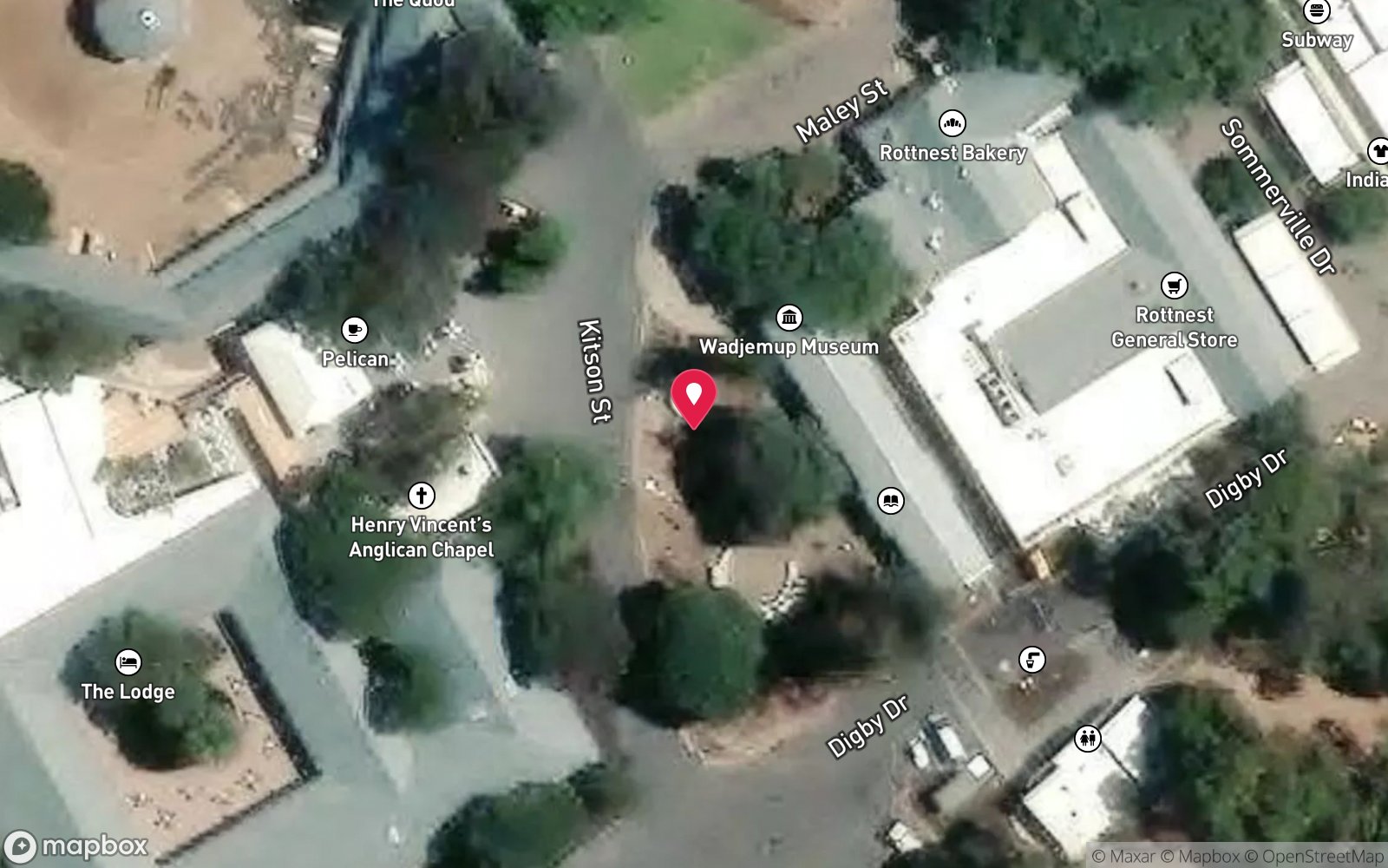
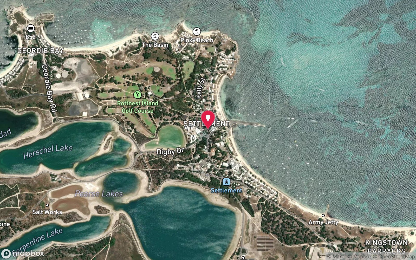
7 pinned sites. Pins marked approximate on their pages show the general area only; not for navigation.
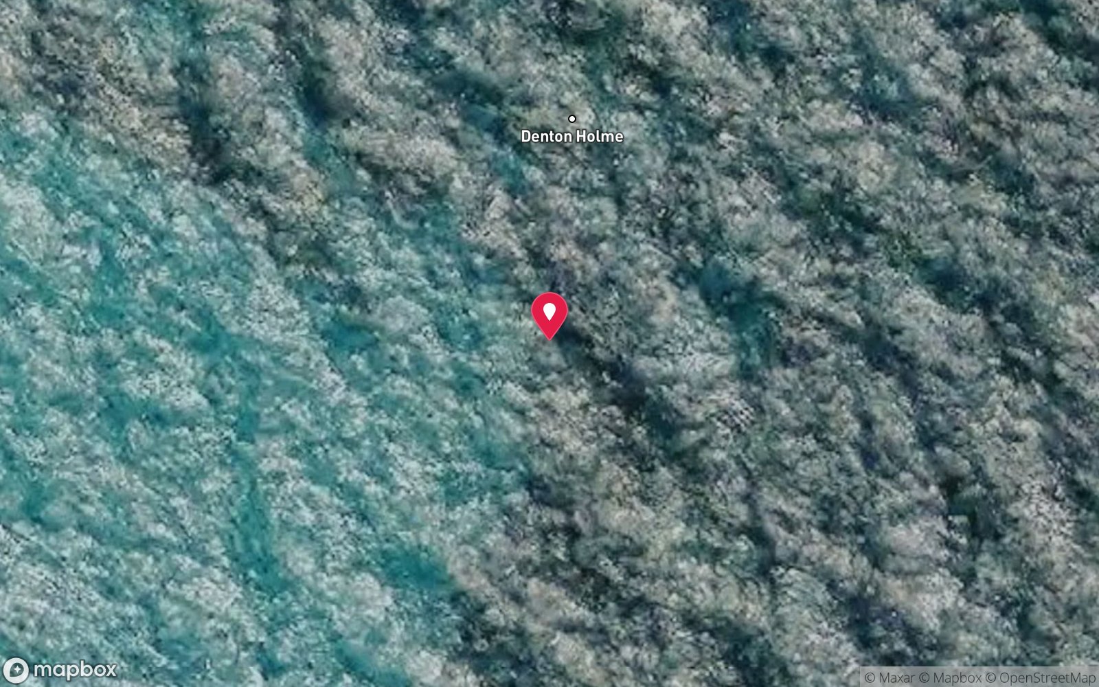
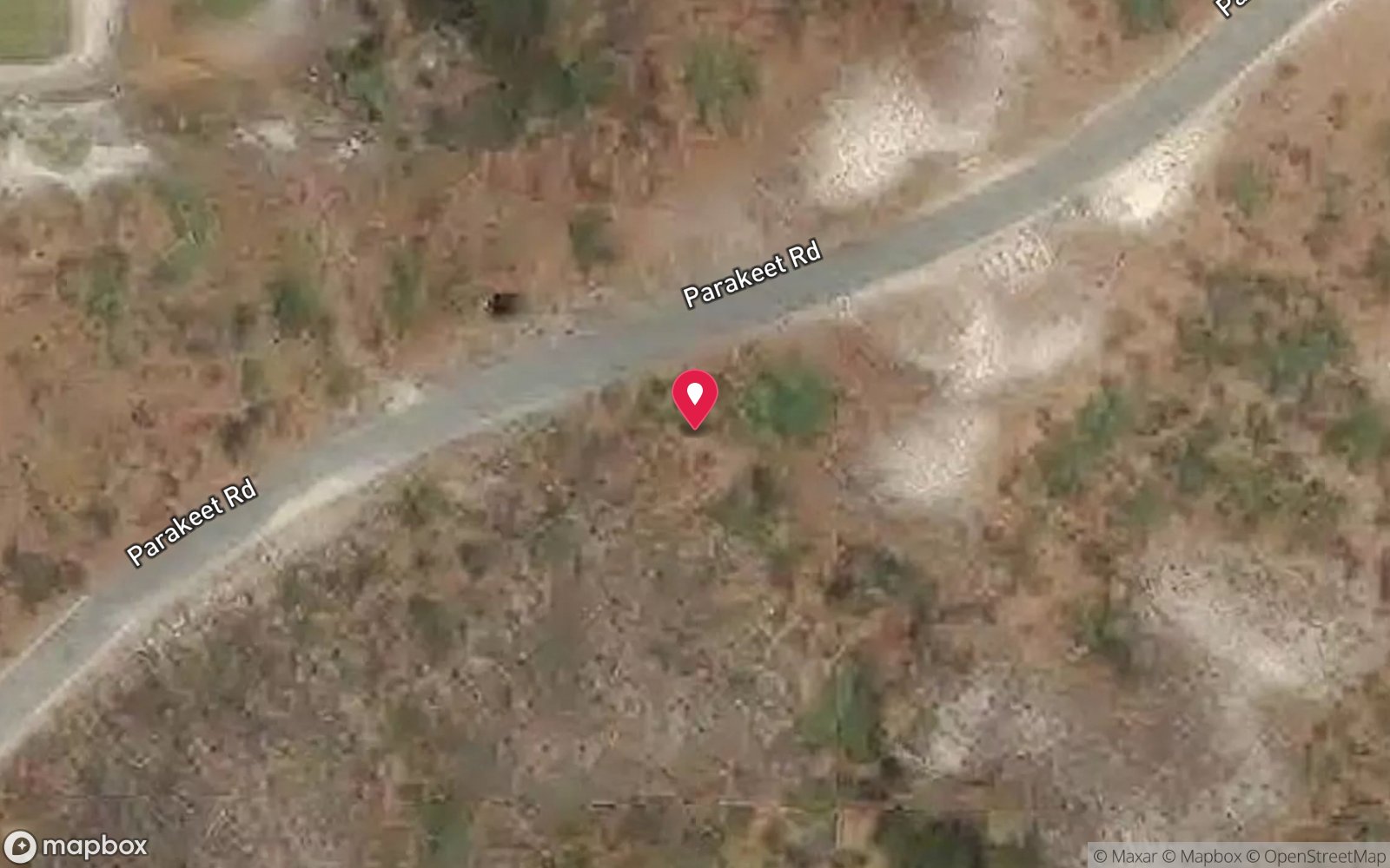
Satellite views
Rottnest Wreck Trail: frequently asked questions
How deep is Rottnest Wreck Trail?
Rottnest Wreck Trail reaches a maximum depth of 10 m, with the shallowest part at about 1 m; most of the dive is spent around 5 m.
What certification do I need to dive Rottnest Wreck Trail?
No certification is needed to snorkel it, and it suits introductory dives. Rated beginner: sheltered, shallow and manageable for a newly certified diver on a normal day, though note boat traffic overhead.
Can I shore dive Rottnest Wreck Trail?
Yes. Rottnest Wreck Trail is a shore dive that can be done independently: land plaques by bike/bus; snorkel from the beach at Uribes and Henrietta Rocks; boat for offshore wrecks.
When is the best time to dive Rottnest Wreck Trail?
Late summer and autumn (February-May) for calm easterly mornings and the warmest water; winter gives clear water between fronts.
What marine life will I see at Rottnest Wreck Trail?
Regularly recorded: Varies by site: buffalo bream, sweep, western king wrasse, bullseyes, western rock lobster, stingarees.
What wetsuit do I need at Rottnest Wreck Trail?
5 mm full wetsuit in summer and autumn; 7 mm or 5 mm with hood and vest in winter and spring.
How cold is the water at Rottnest Wreck Trail?
Typically 21-24 °C in summer and 17-19 °C in winter.
What are the main hazards at Rottnest Wreck Trail?
Snorkel wrecks only in calm conditions; sharp metal; boat traffic; no scuba fills on Rottnest; all wrecks protected. See the hazards section above for the full list.
Where is the nearest recompression chamber to Rottnest Wreck Trail?
Fiona Stanley Hospital Hyperbaric Medicine Unit (Murdoch, Perth). In an emergency call 000, then DAN Asia-Pacific on 1800 088 200.
Diving in Rottnest Island
Rottnest, 20 km off Fremantle, has more than 50 dive sites, the most shipwrecks on the WA coast (the Rottnest Wreck Trail and the deep Ships' Graveyard beyond) and coral growing at the southern limit of its range. Limestone caves, swim-throughs and ledges at Crystal Palace, Roe Reef and the Shark Cave are the classics; the West End has seals and pelagics.
Getting there: Ferries from Fremantle, Perth and Hillarys; charter boats from Fremantle run day trips. Several bays can be dived from the shore by bike-and-fin.
Sources
- museum.wa.gov.au/sites/default/files/Rottnest.pdf
- rottnestisland.com/see-do/beaches-water-activities/shipwrecks
- en.wikipedia.org/wiki/Rottnest_Island_shipwrecks
- divingwawrecks.com/rottnest-north
- divingwawrecks.com/rottnest-south
Data confidence: High. Last updated September 2026. Know this site better? How to send a correction
Nearby dive sites
More wrecks in Western Australia
Explore more
This region
Similar dives