Dive slate · divesites.com.au · printed 9 Nov 2026
Sugarloaf Rock
Geographe Bay & Busselton, Western Australia · near Dunsborough
| Depth | 2–22 m |
|---|---|
| Minimum level | Advanced Open Water |
| Difficulty | Advanced |
| Access | Shore or Boat |
| Entry | Difficult shore entry over rocks and gravel, or from a boat |
| Current | Moderate |
| Visibility | 8-20 m |
| Water | summer 20-23 °C, winter 16-18 °C |
| Suit | 5 mm full wetsuit in summer and autumn; 7 mm or 5 mm with hood and vest in winter and spring |
| Best season | Summer and autumn (December-May) with morning easterly winds |
| Bottom time | 40 min |
| Position | -33.55700, 115.00000 (approximate) |
| Permit | Ngari Capes Marine Park (DBCA) - check sanctuary/recreation zoning; no permit needed to dive |
| Nearest chamber | Fiona Stanley Hospital Hyperbaric Medicine Unit (Murdoch, Perth) |
| Emergency | 000 · DAN Asia-Pacific diving emergency 1800 088 200 |
Sugarloaf Rock
Also known as Sugar Loaf Rock
A dramatic granite landmark with weedy shallows and deeper reef to 22 m, for experienced divers on rare flat days.
Near Dunsborough · Geographe Bay & Busselton, Western Australia
- Depth
- 2–22 m
- Minimum level
- Advanced Open Water
- Access
- Shore or Boat
- Boat ride
- —
- Water
- 20-23 °C
- Visibility
- 8-20 m
Sugarloaf Rock2–22 m · Advanced Open Water · Shore
Dive factsDepths, conditions, location & safety
Season
Off-peak nowBest months: January, February, March, April, May, December.
Summer and autumn (December-May) with morning easterly winds
- Best months
- Now (November)
Dive facts
- Depth
- 2–22 m
- Typical depth
- 10 m
- Certification
- Advanced Open Water
- Difficulty
- Advanced
- Depth tier
- Advanced Open Water (18–30 m)
- Access
- Shore or Boat
- Offshore
- 0.1 km
- Dive centre needed
- No – independently diveable
- Shore / independent
- Possible (experienced only)
- Current
- Moderate
- Visibility
- 8-20 m
- Water temp (summer)
- 20-23 °C
- Water temp (winter)
- 16-18 °C
- Water
- Temperate
- Bottom time
- 40 min
- Dive traffic
- Rarely dived (private boat/club only)
- Night dive
- No
- Snorkel friendly
- Partial
Exposure suit
5 mm full wetsuit in summer and autumn; 7 mm or 5 mm with hood and vest in winter and spring
Location
Cape Naturaliste (Indian Ocean coast) · South West WA - Dunsborough, Geographe Bay & Cape Naturaliste
-33.55700, 115.00000
Approximate position — not for navigation.
Open in Google MapsPrimary source: marinelife.org.auMarine park & permits
Ngari Capes Marine Park (DBCA) - check sanctuary/recreation zoning; no permit needed to dive
Nearest recompression chamber
Fiona Stanley Hospital Hyperbaric Medicine Unit (Murdoch, Perth)
Diving emergency: call 000, then DAN AP 1800 088 200.
Trip planner
Build a trip around Sugarloaf Rock →
A day-by-day plan for Geographe Bay & Busselton with this site locked in.
This guide is a planning aid. Conditions change daily — confirm with a local dive centre and dive within your training. Data & safety notes.
Dive profile
How this site rates
Scores are computed from the recorded data, not opinions. How?
At a glance
Sugarloaf Rock is a shore / rock platform shore dive for experienced divers in Geographe Bay & Busselton, WA, 2–22 m, suited to Advanced Open Water divers, moderate current.
Rated advanced because of depth beyond 18 m, surge on the entry or in the shallows.
Why dive here
- A dramatic granite landmark with weedy shallows and deeper reef to 22 m, for experienced divers on rare flat days.
- Rarely dived: expect to have the site to yourself, and plan your own logistics.
- Visibility often reaches 8-20 m.
About Sugarloaf Rock
Sugarloaf Rock is one of the landmark granite rocks of the Cape Naturaliste coast, famous with photographers and known for its seabirds. Underwater it is a site for experienced divers on rare calm days. Marinelife.org.au describes a weedy reef in the shallows with small fish, depths of 17-22 m further out, difficult entry and exit over rocks and gravel, and boat access to the deeper reefs; it stresses that the site is very exposed to swell. The Margaret River region's ocean-safety guide lists it as 'pretty accessible', which holds true only in flat conditions.
The granite here meets the full force of the Indian Ocean, so the reef is shaped by swell: kelp and weed in the shallows, boulders and gutters, and deeper reef with sponges and fish. Western blue groper, buffalo bream, wrasse and herring cale are typical of this coast.
It suits experienced shore divers and freedivers who can judge swell and handle a rocky entry, or boat divers on a calm day. It is not a beginner site. Always watch the sea for several sets before entering and have a clear exit plan.
Sugarloaf Rock lies within Leeuwin-Naturaliste National Park on land and the Ngari Capes Marine Park at sea; check zoning before fishing or collecting.
The coast from Cape Naturaliste south is the Indian Ocean side of the Capes, where the sheltered conditions of Geographe Bay give way to open-ocean swell. Sites here and offshore demand far more attention to forecasts than the bay sites: long-period south-westerly groundswell can arrive on an otherwise calm, sunny day, and conditions can change within an hour.
Getting there & entry
Prominent granite rock off the Indian Ocean coast just south of Cape Naturaliste, with weedy reef in the shallows and deeper reef to 17-22 m; very exposed to swell.
From Dunsborough drive about 15 km toward Cape Naturaliste and take Sugarloaf Road to the Sugarloaf Rock car park in Leeuwin-Naturaliste National Park. A short path leads to the lookout; the shore entry is over rocks and gravel and difficult. Boat access to the deeper reefs is possible from a nearby ramp (marinelife.org.au) in calm weather.
The nearest full-service dive shop for fills and hire is Swan Dive in Busselton; there is no dedicated dive shop in Margaret River or Augusta, so bring filled cylinders.
Entry: Difficult shore entry over rocks and gravel, or from a boat
Facilities: Car park and lookout in Leeuwin-Naturaliste National Park; no other facilities.
Weather, swell & tides
On the Indian Ocean side of the cape and very exposed to swell (marinelife.org.au). Only on rare flat days with easterly winds, usually in summer or autumn; any south-westerly swell makes the entry dangerous. The Margaret River region guide describes it as pretty accessible on the right day.
General pattern in Geographe Bay: sheltered from south-westerly swell by Cape Naturaliste; summer mornings are calm before the afternoon sea breeze, while winter north-westerly fronts roll swell and chop into the bay and reduce visibility for several days.
Best season: Summer and autumn (December-May) with morning easterly winds
If it's blown out
Sheltered or shore sites within 25 km that often work when Sugarloaf Rock doesn't.
- Meelup Beach · 8 km · Max 4 m
- Yallingup Lagoon · 10 km · Max 3 m
- Injidup Natural Spa · 16 km · Max 2 m
- Eagle Bay · 7 km · Max 3 m
How the dive is usually run
Enter carefully over the rocks in flat conditions, explore the weedy shallows and work down to the deeper reef only if conditions are benign; exit where you entered, timing the sets. Agree a turn pressure before descending (half gas, or a third where current is likely), carry a DSMB, and make a 3-minute safety stop at 5 m.
Marine life
- Kelp and weed
- western blue groper →
- buffalo bream
- western king wrasse
- herring cale
- sweep
- sponges
Linked species have their own page listing every site where they are recorded. All marine life →
Training required
Beyond 18 m an Advanced certification (which includes a deep dive to 30 m) is the accepted minimum. Anything past 25 m is a deep dive in practice.
Depth tiers: 0–10 m easy · to 18 m Open Water · 18–30 m Advanced (25 m+ is a deep dive) · 30–40 m Deep specialty · 40 m+ technical. All courses
Hazards & warnings
Very exposed to swell; difficult rock and gravel entry/exit; surge; remote from help; do not dive in any significant swell.
Dive centres that go here
No regular operator; experienced local divers and freedivers only. Nearest dive services: Swan Dive (Busselton/Port Geographe) for fills, hire, nitrox and charters; no dive shop in Margaret River or Augusta.
Operators recorded for Sugarloaf Rock
Swan Dive
Named by sitesBusselton · Margaret River & Augusta · WA
Also operates from 310 Geographe Bay Rd, Quindalup (Dunsborough).
swandive.com.au · 0439 108 760
Dive Busselton Jetty
Named by sitesBusselton · Geographe Bay & Busselton · WA
Not operating dives or undersea walks for the 2025-26 season due to jetty redevelopment; hopes to resume Dec 2026.
divebusseltonjetty.com.au
Other dive centres in Geographe Bay & Busselton
Octopus Garden Dive Charters
Named by sitesBunbury · Geographe Bay & Busselton · WA
Operates from Bunbury (not Busselton); dive charters and dolphin cruises.
octopusgardendivecharters.com.au · 0417 794 008
Coastal Water Dive
Named by sitesEast Bunbury · Geographe Bay & Busselton · WA
Shop is in Bunbury, not Busselton.
coastalwaterdive.com.au · (08) 9721 7786
Map
7 pinned sites. Pins marked approximate on their pages show the general area only; not for navigation.
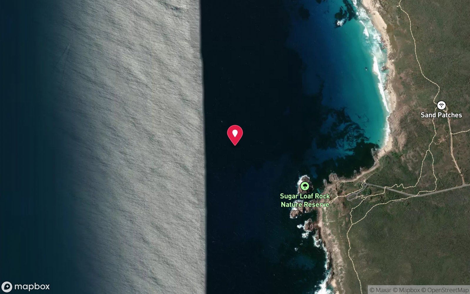
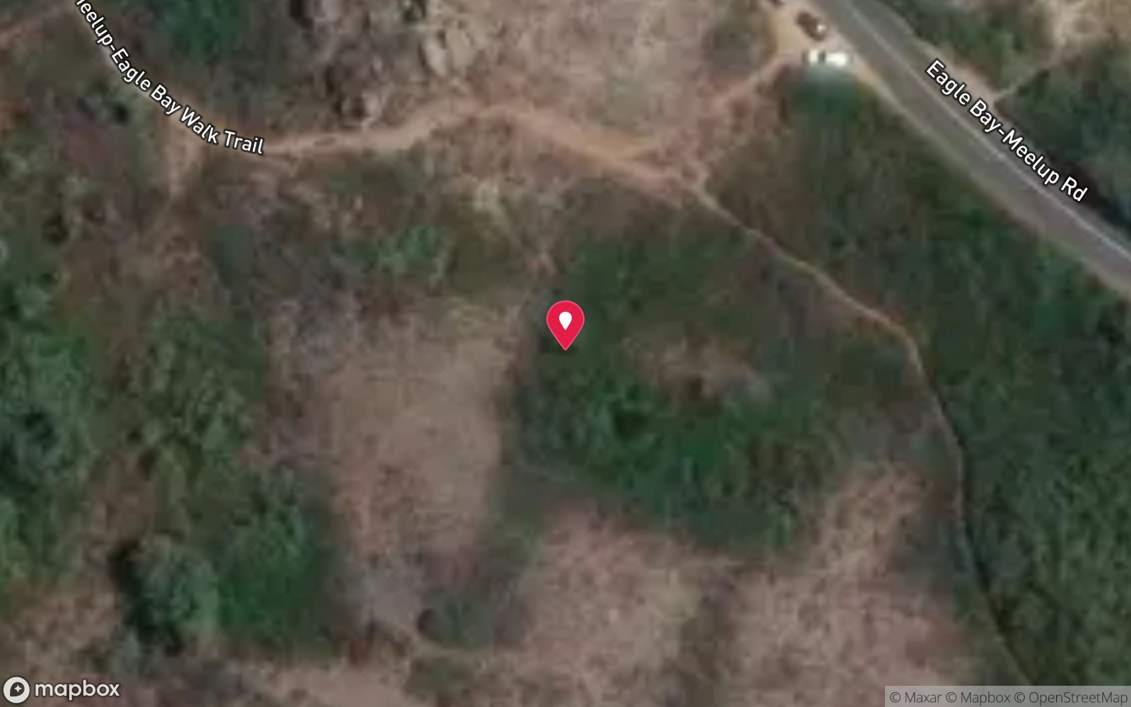
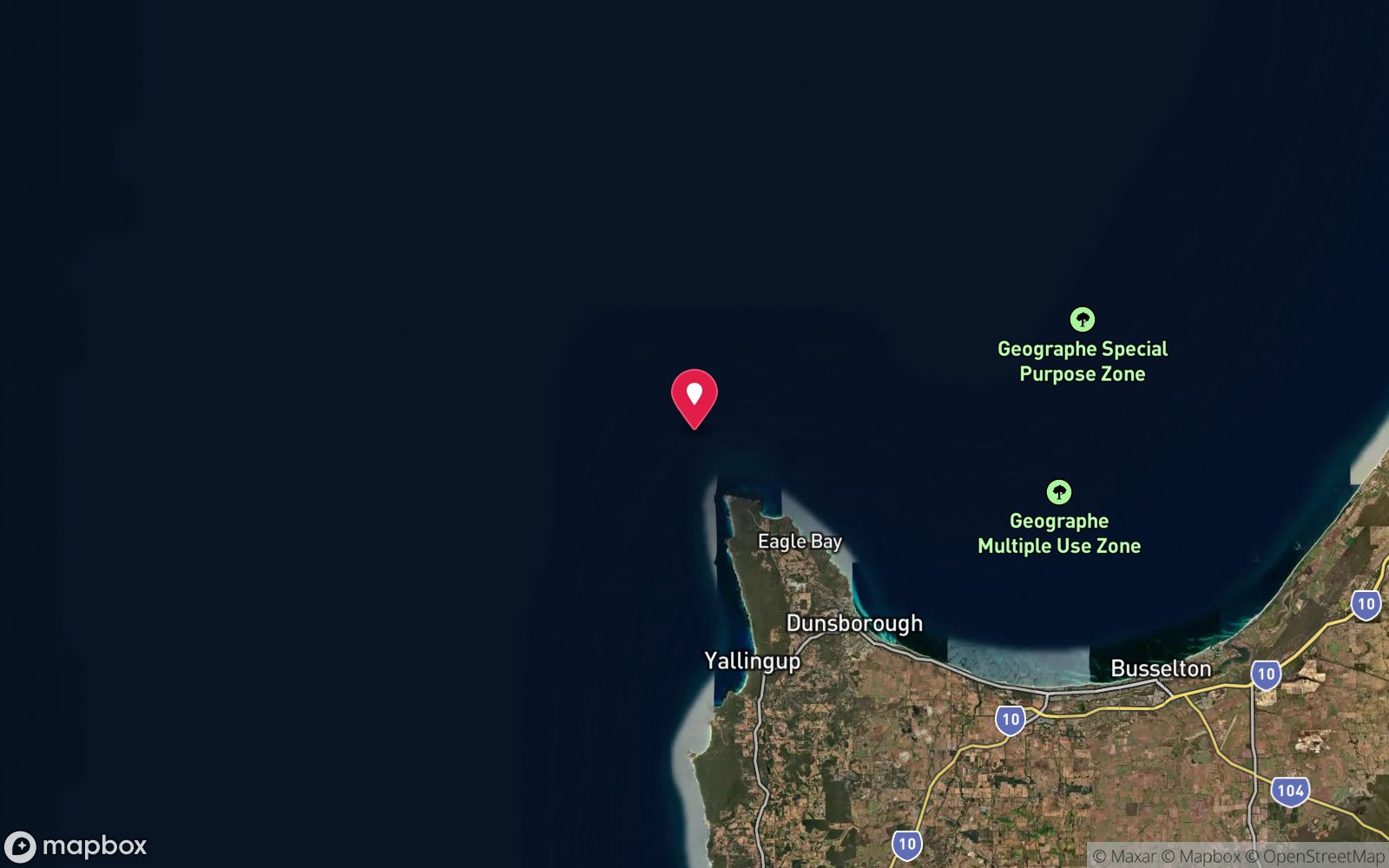
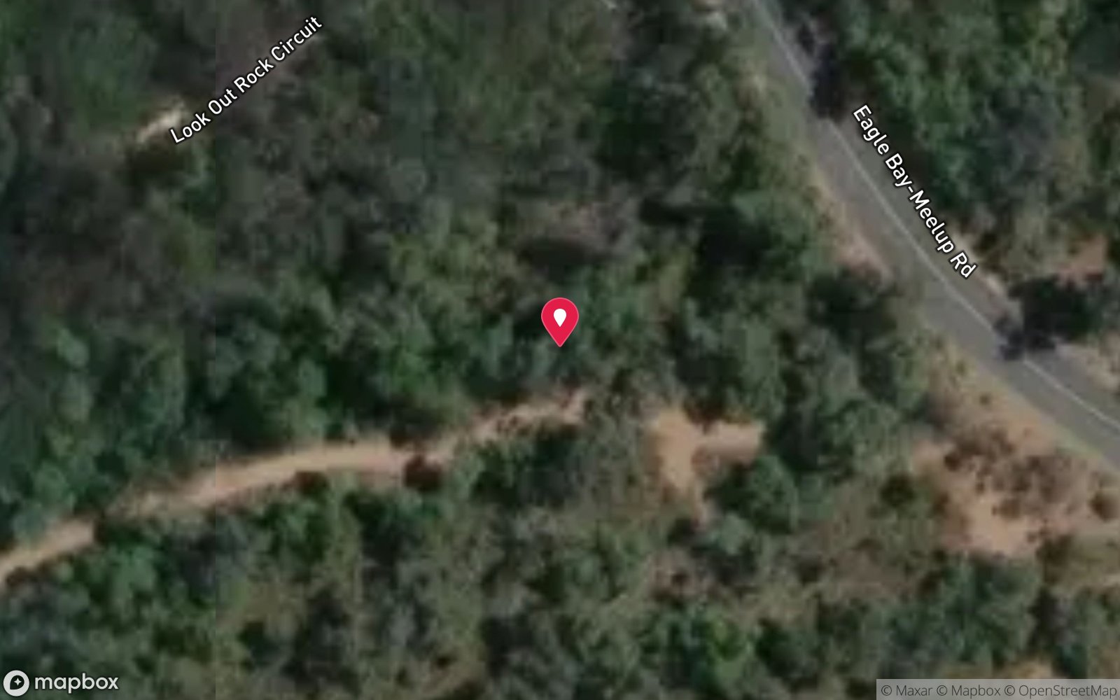
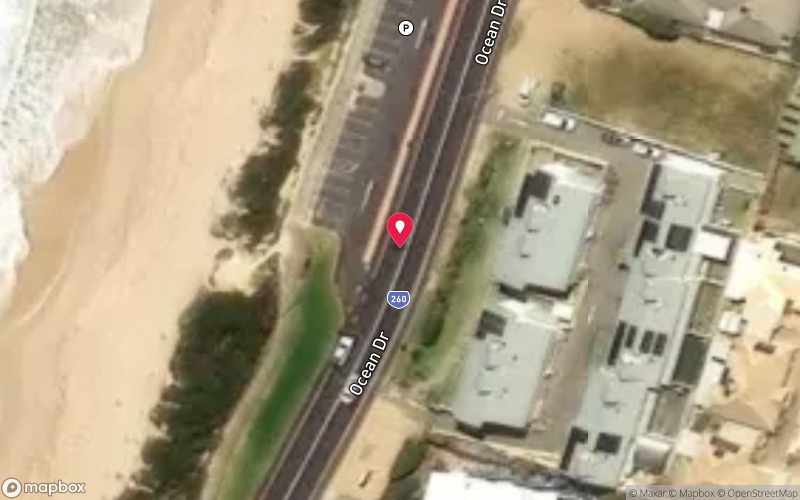
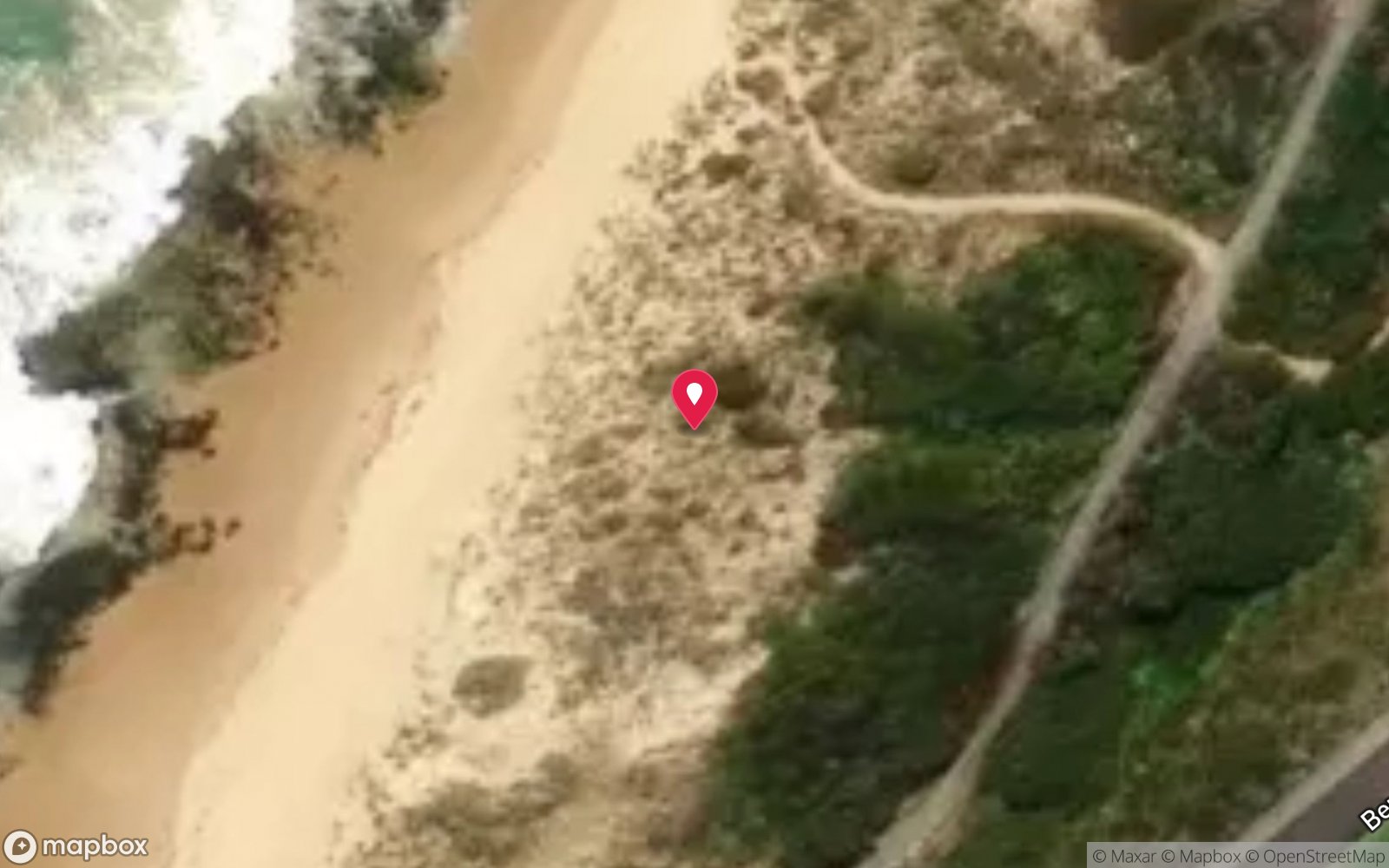
Satellite views
Sugarloaf Rock: frequently asked questions
How deep is Sugarloaf Rock?
Sugarloaf Rock reaches a maximum depth of 22 m, with the shallowest part at about 2 m; most of the dive is spent around 10 m.
What certification do I need to dive Sugarloaf Rock?
Advanced Open Water is the recommended minimum. Rated advanced because of depth beyond 18 m, surge on the entry or in the shallows.
Can I shore dive Sugarloaf Rock?
Experienced divers do dive Sugarloaf Rock from the shore, but the entry or conditions make it unsuitable for newer divers without local guidance. Entry: Difficult shore entry over rocks and gravel, or from a boat.
When is the best time to dive Sugarloaf Rock?
Summer and autumn (December-May) with morning easterly winds.
What marine life will I see at Sugarloaf Rock?
Regularly recorded: Kelp and weed, western blue groper, buffalo bream, western king wrasse, herring cale, sweep, sponges.
What wetsuit do I need at Sugarloaf Rock?
5 mm full wetsuit in summer and autumn; 7 mm or 5 mm with hood and vest in winter and spring.
How cold is the water at Sugarloaf Rock?
Typically 20-23 °C in summer and 16-18 °C in winter.
What are the main hazards at Sugarloaf Rock?
Very exposed to swell; difficult rock and gravel entry/exit; surge; remote from help; do not dive in any significant swell. See the hazards section above for the full list.
Where is the nearest recompression chamber to Sugarloaf Rock?
Fiona Stanley Hospital Hyperbaric Medicine Unit (Murdoch, Perth). In an emergency call 000, then DAN Asia-Pacific on 1800 088 200.
Diving in Geographe Bay & Busselton
Geographe Bay is sheltered from the Southern Ocean swell and has the 1.8 km Busselton Jetty with its underwater observatory, the HMAS Swan wreck off Dunsborough, the Four Mile Reef sponge gardens and easy beach dives at Meelup and Castle Rock. It is the South-West's most reliable diving.
Getting there: Two and a half hours south of Perth. Busselton Jetty is a walk-in dive (or a jetty-train ride); charters from Dunsborough run the Swan.
All Geographe Bay & Busselton dive sites and a suggested itinerary →
Sources
- marinelife.org.au/?page_id=170
- margaretriver.com/things-to-do/attractions/aquatic-adventures/ocean-safety-diving-in-the-margaret-river-region
Data confidence: Medium · Being verified: Coordinates approximate.. Last updated September 2026. Know this site better? How to send a correction
Nearby dive sites
More shore/rock platform dives in Western Australia
Explore more
This region
Marine life