Dive slate · divesites.com.au · printed 8 Nov 2026
Bare Back Cove
Wilsons Promontory, Victoria · near Port Welshpool
| Depth | 2–30 m |
|---|---|
| Minimum level | Advanced Open Water |
| Difficulty | Intermediate |
| Access | Boat |
| Entry | Giant stride or back roll from an anchored or live boat; descend the anchor/shot line |
| Current | Mild |
| Visibility | 10-25 m |
| Water | summer 17-20 °C, winter 11-14 °C |
| Suit | 7mm semi-dry with hood and gloves, or drysuit; drysuit preferred May-Nov |
| Best season | Late summer to autumn (Feb–May) for settled weather and 20 m+ visibility; occasional calm winter days |
| Bottom time | 45 min |
| Position | -39.05434, 146.47572 (GPS) |
| Permit | Wilsons Promontory Marine National Park – no take of any marine life, no anchoring on sensitive habitat where avoidable; Kanowna Island seal colony vessel exclusion zones apply |
| Nearest chamber | The Alfred (Melbourne) |
| Emergency | 000 · DAN Asia-Pacific diving emergency 1800 088 200 |
Bare Back Cove
Also known as Bareback Cove
Granite boulders with gorgonians, zoanthids and bearded cod in the crevices off a white quartz-sand cove; sheltered, snorkel-friendly and boat-diveable to 30 m.
Near Port Welshpool · Wilsons Promontory, Victoria
- Depth
- 2–30 m
- Minimum level
- Advanced Open Water
- Access
- Boat
- Boat ride
- ~75 min
- Water
- 17-20 °C
- Visibility
- 10-25 m
Bare Back Cove2–30 m · Advanced Open Water
Dive factsDepths, conditions, location & safety
Season
Off-peak nowBest months: January, February, March, April, May, June, July, August, December.
Late summer to autumn (Feb–May) for settled weather and 20 m+ visibility; occasional calm winter days
- Best months
- Now (November)
Dive facts
- Depth
- 2–30 m
- Typical depth
- 12 m
- Certification
- Advanced Open Water
- Difficulty
- Intermediate
- Depth tier
- Advanced Open Water (18–30 m)
- Access
- Boat
- Offshore
- 0.1 km
- Dive centre needed
- Yes – boat access only
- Shore / independent
- No
- Boat ride
- ~75 min
- Current
- Mild
- Visibility
- 10-25 m
- Water temp (summer)
- 17-20 °C
- Water temp (winter)
- 11-14 °C
- Water
- Temperate
- Bottom time
- 45 min
- Dive traffic
- Remote/expedition only
- Night dive
- No
- Snorkel friendly
- Yes
Exposure suit
7mm semi-dry with hood and gloves, or drysuit; drysuit preferred May-Nov
Location
Eastern Prom (Refuge Cove–Waterloo Bay) · Wilsons Promontory – Bass Strait
-39.05434, 146.47572
Published GPS position.
Open in Google MapsPrimary source: scubadoctor.com.auMarine park & permits
Wilsons Promontory Marine National Park – no take of any marine life, no anchoring on sensitive habitat where avoidable; Kanowna Island seal colony vessel exclusion zones apply
Nearest recompression chamber
The Alfred (Melbourne)
Diving emergency: call 000, then DAN AP 1800 088 200.
Trip planner
Build a trip around Bare Back Cove →
A day-by-day plan for Wilsons Promontory with this site locked in.
This guide is a planning aid. Conditions change daily — confirm with a local dive centre and dive within your training. Data & safety notes.
Dive profile
How this site rates
Scores are computed from the recorded data, not opinions. How?
At a glance
Bare Back Cove is a reef boat dive in Wilsons Promontory, VIC, 2–30 m, suited to Advanced Open Water divers, about 75 minutes by boat.
Rated intermediate because of depth beyond 18 m, cold water.
Why dive here
- Granite boulders with gorgonians, zoanthids and bearded cod in the crevices off a white quartz-sand cove; sheltered, snorkel-friendly and boat-diveable to 30 m.
- Snorkel-friendly, so non-diving companions can join at the surface.
- Rarely dived: expect to have the site to yourself, and plan your own logistics.
- Visibility often reaches 10-25 m.
Conditions to avoid
- Strong southerly or south-east swell and wind
- Strong westerlies
About Bare Back Cove
Bare Back Cove is one of the string of small quartz-sand coves on the eastern Prom between Refuge Cove and Waterloo Bay, and Parks Victoria's park note lists it, with Horn Point and Waterloo Bay, among the Prom's popular locations for experienced divers. Scuba Doctor calls it a safe site suitable for scuba diving from a boat and snorkelling from the shore, facing north into Bass Strait with low waves at the shore. The beach is about 50 m of coarse white quartz sand with seagrass in the deeper water off it, and the dive is on the granite boulders at the southern end, which run out and around the headland from 2 m to 30 m.
Those boulders host, in the listing's words, sponges, ascidian sea squirts, gorgonian sea fans and zoanthid yellow sea daisies, and their crevices hold bullseyes, blue devilfish and bearded cod – the last a species divers rarely see elsewhere in Victoria, sitting in the darkest holes. The kelp and seagrass shallows have wrasse, leatherjackets, old wives and cuttlefish, and the sand between holds stingarees and flathead. Overnight walkers on the Prom's eastern circuit pass through the cove and it is a pleasant snorkel from the beach for them; for scuba divers it is a boat site reached from Port Welshpool, usually combined with Waterloo Bay's north wall 1.2 km to the south or Larkin Cove and Brown Head Pinnacle to the north.
Its shelter from southerly and westerly winds makes it a useful anchorage and a good first or last dive of an eastern Prom trip, and its range – seagrass, boulders and sponge-covered rock to 30 m – gives every level of diver something.
Getting there & entry
Small north-facing cove of coarse white quartz sand between Larkin Cove and Waterloo Bay on the eastern side of Wilsons Promontory, with granite boulders at its southern end.
Boat only. Launch at Port Welshpool (sealed all-tide ramp, jetty and trailer parking on Corner Inlet, 2.5 hours from Melbourne) and run south through Corner Inlet's marked channels and out past Rabbit Island down the eastern Prom coast – about 30–40 km and 60–90 minutes to Sealers/Refuge Cove, longer to Waterloo Bay and South East Point. The coast is exposed to easterly and southerly swell and has no facilities; carry fuel, radio and all air, and plan around the weather window and Corner Inlet tides.
Bare Back Cove is about 36 km from Port Welshpool, just south of Brown Head; anchor in sand off the boulders at the southern end. Snorkellers can reach the cove on foot from the Refuge Cove–Waterloo Bay walking track (overnight walkers only – it is a long way from Tidal River).
Entry: Giant stride or back roll from an anchored or live boat; descend the anchor/shot line
Facilities: Departure from Tidal River beach ramp, Port Welshpool or Sandy Point; No air fills at Tidal River or Port Welshpool; the nearest compressor is roughly 100 km away (Melbourne's south-east or Inverloch/Leongatha area by arrangement) – bring all cylinders or a portable compressor
Weather, swell & tides
Faces north with low waves at the shore; best with calm seas, no swell and no wind, with light offshore south-westerly to south-easterly winds acceptable and strong onshore northerly to easterly winds not. One of the more protected eastern Prom sites in southerly weather. Autumn and settled summer days.
The eastern Prom coast is reached only after a long boat run from Port Welshpool, so the whole day's forecast must be settled: swell under 1–1.5 m, light winds, and no change due. Easterly and south-easterly swell is the main problem on this coast; a westerly wind flattens it but makes Corner Inlet's entrance choppy on the ebb. Visibility is typically 10–25 m and best in autumn after several calm days.
Best season: Late summer to autumn (Feb–May) for settled weather and 20 m+ visibility; occasional calm winter days
If it's blown out
Sheltered or shore sites within 25 km that often work when Bare Back Cove doesn't.
- Refuge Cove, South · 2 km · Max 9 m
- Norman Point, South (Little Oberon Bay) · 13 km · Max 18 m
- Norman Bay, South · 13 km · Max 18 m
- Pillar Point, South · 15 km · Max 10 m
How the dive is usually run
Descend from the boat onto the granite boulders at the southern end of the cove at 8–15 m and follow them seaward and south around the headland to a maximum of 25–30 m, looking under the boulders for the sponge and gorgonian growth. Turn at half gas, come back over the seagrass at 5–8 m and finish under the boat; snorkellers work the boulders from the beach.
Marine life
- Sponges
- ascidians
- gorgonian sea fans
- zoanthids
- bullseyes
- blue devilfish →
- bearded cod
- wrasse
- leatherjackets
- old wives
- cuttlefish →
- stingarees
- seagrass
Linked species have their own page listing every site where they are recorded. All marine life →
Training required
Beyond 18 m an Advanced certification (which includes a deep dive to 30 m) is the accepted minimum. Anything past 25 m is a deep dive in practice.
At more than 25 m this counts as a deep dive: watch no-decompression limits and gas.
Courses that help here
- Enriched Air Nitrox – Longer no-decompression time at 25 m and deeper.
- Drysuit Diver – Cold water; locals dive dry for much of the year.
Depth tiers: 0–10 m easy · to 18 m Open Water · 18–30 m Advanced (25 m+ is a deep dive) · 30–40 m Deep specialty · 40 m+ technical. All courses
Hazards & warnings
Remote – 75 minutes from Port Welshpool; exposed to northerly to easterly winds; no facilities; depth to 30 m at the outer boulders.
Dive centres that go here
No dive charter operates at Wilsons Promontory. Sites are dived from club and private trailer boats – Dive La Trobe, VSAG, Melbourne University Underwater Club and Dive Victoria Group run occasional camping-and-diving trips – launching at Tidal River (beach launch, permit/key from Parks Victoria), Port Welshpool or Sandy Point. Wilsons Promontory Cruises (Port Welshpool) runs sightseeing cruises to Skull Rock and the islands but no diving.
Operators recorded for Bare Back Cove
Scubabo Dive Victoria (Dive Victoria Group)
Named by sitesQueenscliff · Port Phillip Heads · VIC
Rebranded as Scubabo Dive Victoria, Queenscliff; dive.scubabo.com is live for 2026 with active charter bookings.
dive.scubabo.com · (03) 5258 1188
VSAG
Named by sitesWilsons Promontory · VIC
Victorian Sub-Aqua Group, a non-commercial dive club (est. 1954), not a shop or charter.
vsag.org.au
Dive La Trobe
Named by sitesBundoora · Wilsons Promontory · VIC
University dive club (est. 1968), not a shop; runs SDI courses.
divelatrobe.org.au
Wildlife Coast Cruises
Named by sitesCowes · Phillip Island & Western Port · VIC
Cruise/boat tour operator (seals, whales, Wilsons Prom), not a dive shop.
wildlifecoastcruises.com.au · (03) 5952 9500
Other dive centres in Wilsons Promontory
Map
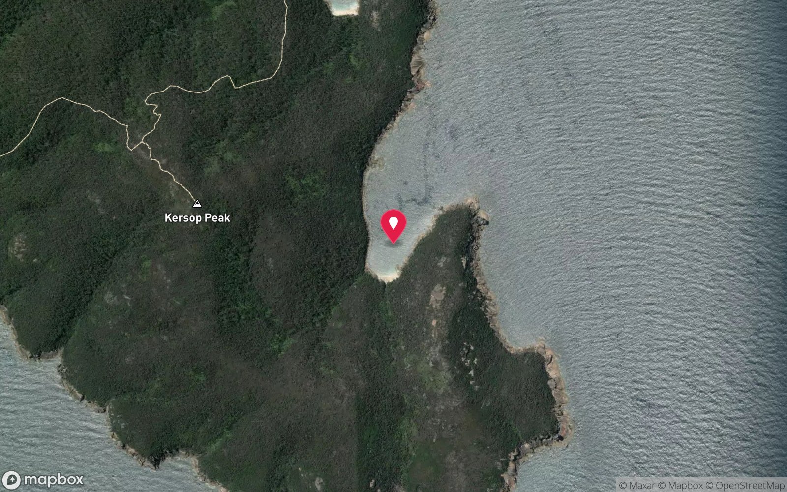
7 pinned sites. Pins marked approximate on their pages show the general area only; not for navigation.
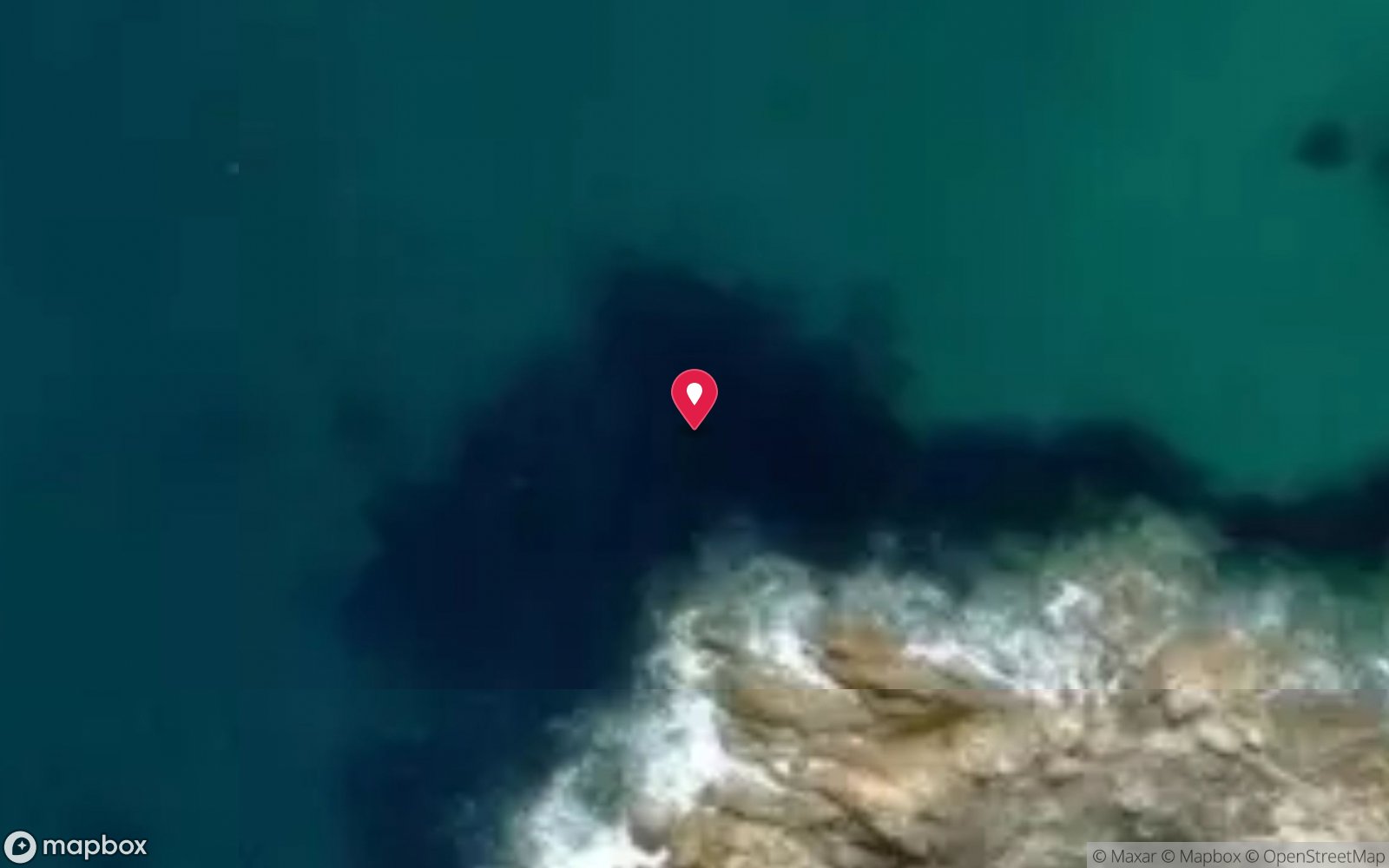
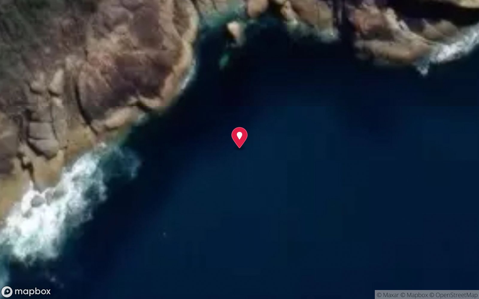
Satellite views
Bare Back Cove: frequently asked questions
How deep is Bare Back Cove?
Bare Back Cove reaches a maximum depth of 30 m, with the shallowest part at about 2 m; most of the dive is spent around 12 m.
What certification do I need to dive Bare Back Cove?
Advanced Open Water is the recommended minimum. At more than 25 m this counts as a deep dive: watch no-decompression limits and gas. Rated intermediate because of depth beyond 18 m, cold water.
Can I shore dive Bare Back Cove?
No, it is reached by boat (about 75 minutes). A dive centre is required: boat access only.
When is the best time to dive Bare Back Cove?
Late summer to autumn (Feb–May) for settled weather and 20 m+ visibility; occasional calm winter days.
What marine life will I see at Bare Back Cove?
Regularly recorded: Sponges, ascidians, gorgonian sea fans, zoanthids, bullseyes, blue devilfish, bearded cod, wrasse, leatherjackets, old wives, cuttlefish, stingarees and more.
What wetsuit do I need at Bare Back Cove?
7mm semi-dry with hood and gloves, or drysuit; drysuit preferred May-Nov.
How cold is the water at Bare Back Cove?
Typically 17-20 °C in summer and 11-14 °C in winter.
What are the main hazards at Bare Back Cove?
Remote – 75 minutes from Port Welshpool; exposed to northerly to easterly winds; no facilities; depth to 30 m at the outer boulders. See the hazards section above for the full list.
Where is the nearest recompression chamber to Bare Back Cove?
The Alfred (Melbourne). In an emergency call 000, then DAN Asia-Pacific on 1800 088 200.
Diving in Wilsons Promontory
The Prom is Victoria's wildest and clearest diving: granite pinnacles, walls and boulder fields around the Glennie and Anser groups and Skull Rock, deep wrecks like the SS Kanowna (115 m) and the Cape Liptrap sites, and water that can hit 30 m visibility. Fur seals at Kanowna Island and Norman Island add company.
Getting there: Charters from Port Welshpool or Tidal River, three hours from Melbourne; conditions cancel more trips than they permit.
All Wilsons Promontory dive sites and a suggested itinerary →
Sources
- scubadoctor.com.au/divesite.htm?site=Bare-Back-Cove
- scubadoctor.com.au/wilsons-prom-dives.htm
- scubadoctor.com.au/downloads/park-note-wilsons-promontory-marine-national-park.pdf
Data confidence: Medium · Being verified: Boat time estimated. Last updated September 2026. Know this site better? How to send a correction
Nearby dive sites
More reef dives in Victoria
Explore more
This region
Similar dives