Dive slate · divesites.com.au · printed 7 Nov 2026
Katinka Wreck
Margaret River & Augusta, Western Australia · near Hamelin Bay (Karridale)
| Depth | 3–6 m |
|---|---|
| Minimum level | Open Water |
| Difficulty | Beginner |
| Access | Boat (day trip) |
| Entry | Back roll from small boat anchored in sand beside the wreck |
| Current | Mild |
| Visibility | 2-10 m |
| Water | summer 19-22 °C, winter 16-17 °C |
| Suit | 5 mm full wetsuit in summer and autumn; 7 mm or 5 mm with hood and vest in winter and spring |
| Best season | Summer and autumn (December-April) with easterly winds and low swell |
| Bottom time | 50 min |
| Position | -34.20530, 115.03700 (GPS) |
| Permit | Ngari Capes Marine Park - Hamelin Bay recreation zone; protected historic shipwreck |
| Nearest chamber | Fiona Stanley Hospital Hyperbaric Medicine Unit (Murdoch, Perth) |
| Emergency | 000 · DAN Asia-Pacific diving emergency 1800 088 200 |
Katinka Wreck
Also known as Katinka (1900)
The bow, bowsprit, windlass and masts of an 805-ton iron barque wrecked in the 1900 storm, in 5-6 m.
Near Hamelin Bay (Karridale) · Margaret River & Augusta, Western Australia
- Depth
- 3–6 m
- Minimum level
- Open Water
- Access
- Boat (day trip)
- Boat ride
- ~5 min
- Water
- 19-22 °C
- Visibility
- 2-10 m
Katinka Wreck3–6 m · Open Water
Dive factsDepths, conditions, location & safety
Season
Off-peak nowBest months: January, February, March, April, May, December.
Summer and autumn (December-April) with easterly winds and low swell
- Best months
- Now (November)
Dive facts
- Depth
- 3–6 m
- Typical depth
- 5 m
- Certification
- Open Water
- Difficulty
- Beginner
- Depth tier
- Easy (0–10 m)
- Access
- Boat (day trip)
- Offshore
- 0.15 km
- Dive centre needed
- Yes – boat access only
- Shore / independent
- Possible (experienced only)
- Boat ride
- ~5 min
- Current
- Mild
- Visibility
- 2-10 m
- Water temp (summer)
- 19-22 °C
- Water temp (winter)
- 16-17 °C
- Water
- Temperate
- Bottom time
- 50 min
- Dive traffic
- Moderate (occasional charters/club dives)
- Night dive
- No
- Snorkel friendly
- Yes
Exposure suit
5 mm full wetsuit in summer and autumn; 7 mm or 5 mm with hood and vest in winter and spring
Location
Hamelin Bay · South West WA - Hamelin Bay, Augusta & Cape Leeuwin
-34.20530, 115.03700
Published GPS position.
Open in Google MapsDive site map (external) →Primary source: divingwawrecks.comMarine park & permits
Ngari Capes Marine Park - Hamelin Bay recreation zone; protected historic shipwreck
Nearest recompression chamber
Fiona Stanley Hospital Hyperbaric Medicine Unit (Murdoch, Perth)
Diving emergency: call 000, then DAN AP 1800 088 200.
Trip planner
Build a trip around Katinka Wreck →
A day-by-day plan for Margaret River & Augusta with this site locked in.
This guide is a planning aid. Conditions change daily — confirm with a local dive centre and dive within your training. Data & safety notes.
Dive profile
How this site rates
Scores are computed from the recorded data, not opinions. How?
At a glance
Katinka Wreck is a wreck shore dive for experienced divers in Margaret River & Augusta, WA, 3–6 m, suited to Open Water divers, about 5 minutes by boat.
Rated beginner: sheltered, shallow and manageable for a newly certified diver on a normal day, though note surge on the entry or in the shallows.
Why dive here
- The bow, bowsprit, windlass and masts of an 805-ton iron barque wrecked in the 1900 storm, in 5-6 m.
- Sunk in 1900 (Iron sailing barque, 60 m, 805 tons); protected as underwater cultural heritage, so look but do not touch.
- Snorkel-friendly, so non-diving companions can join at the surface.
About Katinka Wreck
The Katinka is the most impressive of the Hamelin Bay wrecks. She was an 805-ton, 60 m iron sailing barque lost in the intense winter storm of 22 July 1900, when a north-westerly front swept across the bay and the wind then swung south-west with gusts reportedly reaching 85 knots. According to divingwawrecks, she dragged not only her own anchors but the timber company's mooring - 360 m of chain attached to three two-ton anchors - almost a kilometre before going aground about a mile north of the jetty. Sailors were lost, one swept overboard and others, including the first mate, drowned trying to swim to shore; marinelife.org.au notes the remaining crew were rescued the next morning.
As an iron ship she has survived far better than the wooden barques nearby. Divingwawrecks describes a large amount of iron wreckage and timber cargo still on site; although most of the hull has collapsed onto the seafloor, the bow, stern and masts are easily recognisable. Marinelife.org.au describes the bow standing nearly upright on a north-south axis parallel to the shore with the iron bowsprit pointing south, a large windlass on the seaward side, a small anchor inshore and the stern buried deeper but projecting about 1.5 m above the sand.
In 5-6 m of water surrounded by sand, it is an easy, rewarding wreck for Open Water divers and snorkellers on flat days.
Hamelin Bay was a timber port from the 1880s, when a jetty built in 1882 and extended in 1898 served M. C. Davies' milling operations. It was notorious for wrecks in bad weather because it is exposed to the north-west gales of winter storms; the 22 July 1900 storm alone wrecked several ships, and only the old jetty piles remain today. The bay is now a recreation zone in the Ngari Capes Marine Park, and every wreck in it older than 75 years is protected.
Wreck details
Iron sailing barque, 60 m, 805 tons · Sunk 1900 · Protected historic shipwreck
Era: early 20th century. Oldest wrecks · Wartime wrecks · Scuttled warships
Other wrecks of the same era
- Carlisle Castle Wreck · Max 12 m · Perth
- City of York Wreck · Max 10 m · Rottnest Island
- Gudrun Wreck (Cape Peron) · Max 6 m · Kalbarri & Shark Bay
- Highland Forest Wreck · Max 8 m · Perth
- Ville de Rouen Wreck · Max 9 m · Perth
- Lubra Wreck (Jurien Bay) · Max 4 m · Turquoise Coast
Getting there & entry
Iron barque wrecked in the great storm of July 1900, lying in 5-6 m on sand about 150 m off the beach, just over a nautical mile north of the Hamelin Bay boat ramp - the northernmost and most substantial wreck in the bay.
Hamelin Bay is on the coast west of Karridale, about 35 km south of Margaret River and 30 km north of Augusta, reached via Caves Road and Hamelin Bay Road. Park at the boat ramp/jetty area beside the Hamelin Bay Holiday Park. Launch at the Hamelin Bay boat ramp - marinelife.org.au warns it is narrow, slippery and swell-exposed, and a 4WD may be needed.
Run about 1.9 km (just over 1 nm) north along the beach; the wreck is 140-150 m behind the shore break and easy to see from the surface. Anchor in sand beside it.
Entry: Back roll from small boat anchored in sand beside the wreck
Facilities: Hamelin Bay boat ramp, holiday park and kiosk.
Weather, swell & tides
Divingwawrecks gives a limit of under 1 m swell because the Katinka, as the northernmost wreck, is the least protected from swell, and the surrounding sand stirs up very easily as swell rolls through. Choose flat summer mornings with easterly winds. General pattern on the Capes and Leeuwin coast: summer mornings often have light easterly (offshore) winds before a south-westerly sea breeze, and long-period south-westerly groundswell can arrive on otherwise calm days; winter fronts bring big swell and north-westerly winds.
Check the Bureau of Meteorology swell forecast, not just the wind.
Best season: Summer and autumn (December-April) with easterly winds and low swell
If it's blown out
Sheltered or shore sites within 25 km that often work when Katinka Wreck doesn't.
- Hamelin Bay Jetty & Stingrays · 3 km · Max 4 m
- Flinders Bay (Augusta) · 20 km · Max 4 m
- Gnarabup Bay & Prevelly Lagoon · 25 km · Max 5 m
- Agincourt Wreck · 1 km · Max 6 m
How the dive is usually run
Anchor beside the wreck, descend at the bow (standing nearly upright), follow the hull south past the windlass and masts, and finish at the buried stern; the site is compact and can be covered in one relaxed dive. Snorkellers should stay within easy reach of the exit point and swim with a buddy; scuba divers at these depths need no safety stop but should ascend slowly and surface near the float.
Marine life
- Western king wrasse
- buffalo bream
- old wife
- herring cale
- stingrays on the sand
- weed growth on iron
Linked species have their own page listing every site where they are recorded. All marine life →
Training required
Shallow enough for snorkellers and for a first dive under supervision. Any certified diver can dive it.
Depth tiers: 0–10 m easy · to 18 m Open Water · 18–30 m Advanced (25 m+ is a deep dive) · 30–40 m Deep specialty · 40 m+ technical. All courses
Hazards & warnings
Swell over 1 m stirs sand and creates surge; shore break nearby; sharp iron; protected historic wreck.
Dive centres that go here
No regular operator; private boats and dive clubs launching at Hamelin Bay. Nearest dive services: Swan Dive (Busselton/Port Geographe) for fills, hire, nitrox and charters; no dive shop in Margaret River or Augusta.
Operators recorded for Katinka Wreck
Other dive centres in Margaret River & Augusta
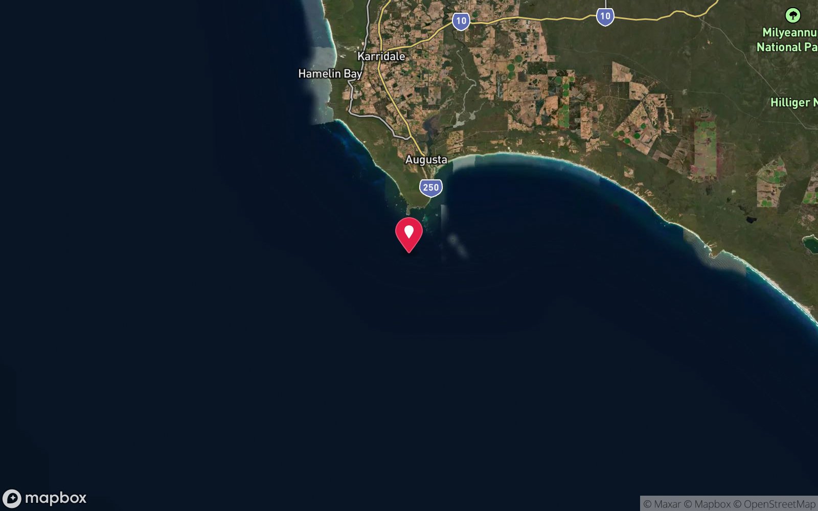
Map
7 pinned sites. Pins marked approximate on their pages show the general area only; not for navigation.
Satellite views
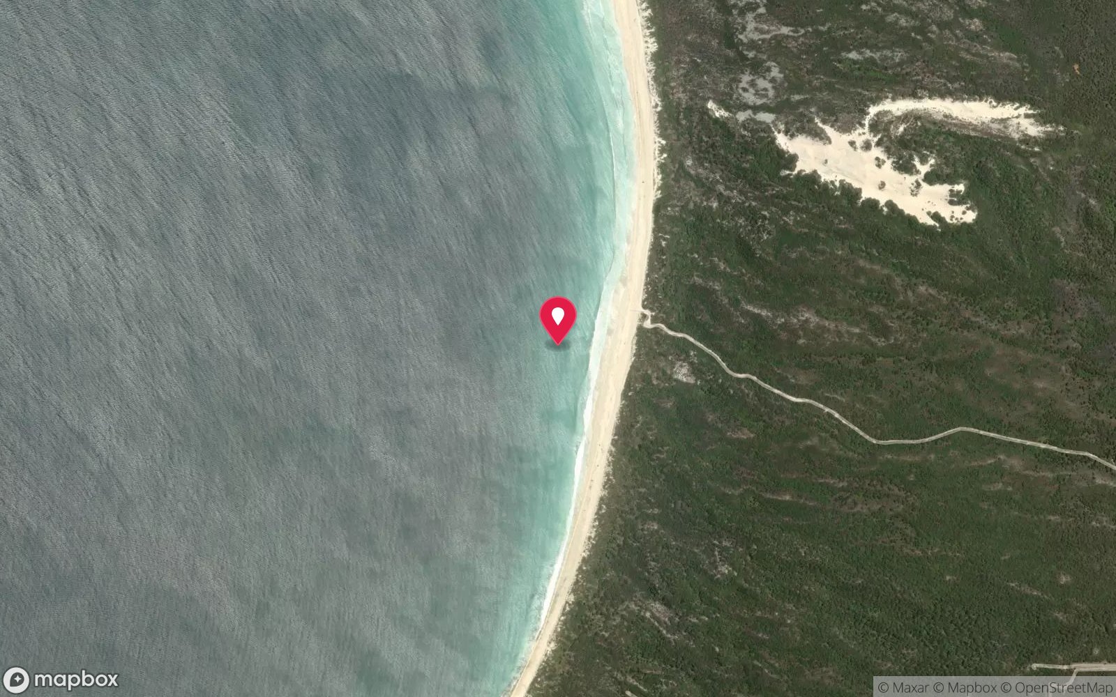
Katinka Wreck: frequently asked questions
How deep is Katinka Wreck?
Katinka Wreck reaches a maximum depth of 6 m, with the shallowest part at about 3 m; most of the dive is spent around 5 m.
What certification do I need to dive Katinka Wreck?
Open Water is the recommended minimum. Rated beginner: sheltered, shallow and manageable for a newly certified diver on a normal day, though note surge on the entry or in the shallows.
Can I shore dive Katinka Wreck?
Experienced divers do dive Katinka Wreck from the shore, but the entry or conditions make it unsuitable for newer divers without local guidance. Entry: Back roll from small boat anchored in sand beside the wreck.
When is the best time to dive Katinka Wreck?
Summer and autumn (December-April) with easterly winds and low swell.
What marine life will I see at Katinka Wreck?
Regularly recorded: Western king wrasse, buffalo bream, old wife, herring cale, stingrays on the sand, weed growth on iron.
What wetsuit do I need at Katinka Wreck?
5 mm full wetsuit in summer and autumn; 7 mm or 5 mm with hood and vest in winter and spring.
How cold is the water at Katinka Wreck?
Typically 19-22 °C in summer and 16-17 °C in winter.
What are the main hazards at Katinka Wreck?
Swell over 1 m stirs sand and creates surge; shore break nearby; sharp iron; protected historic wreck. See the hazards section above for the full list.
Where is the nearest recompression chamber to Katinka Wreck?
Fiona Stanley Hospital Hyperbaric Medicine Unit (Murdoch, Perth). In an emergency call 000, then DAN Asia-Pacific on 1800 088 200.
Diving in Margaret River & Augusta
The Cape-to-Cape coast has limestone reef, caves and the Hamelin Bay stingray beach, where huge smooth rays cruise the shallows; Canal Rocks, Gnarabup and Cowaramup Bay are shore dives on flat days and the offshore reefs off Augusta and Flinders Bay hold sea lions and clear water.
Getting there: Three hours south of Perth. Shore entries at Hamelin Bay, Canal Rocks and Gnarabup; occasional charters from Augusta and Dunsborough.
All Margaret River & Augusta dive sites and a suggested itinerary →
Sources
- divingwawrecks.com/katinka
- marinelife.org.au/?page_id=170
- divingwawrecks.com/south-west
- capetocapetours.com.au/hamelin-bay-stingrays
Data confidence: High. Last updated September 2026. Know this site better? How to send a correction
Nearby dive sites
More wrecks in Western Australia
Explore more
This region
Similar dives