Dive slate · divesites.com.au · printed 9 Nov 2026
Lacepede Islands
Broome & Kimberley, Western Australia · near Broome
| Depth | 2–15 m |
|---|---|
| Minimum level | Open Water |
| Difficulty | Intermediate |
| Access | Boat (multi-day/liveaboard) |
| Entry | Giant stride from liveaboard or tender |
| Current | Variable/Tidal |
| Visibility | 10-30 m |
| Water | summer 29-31 °C, winter 25-27 °C |
| Suit | 3 mm full suit or skin |
| Best season | September–November (calmest window) |
| Bottom time | 50 min |
| Position | -16.85000, 122.13000 (approximate) |
| Permit | Lacepede Islands Nature Reserve (DBCA) – landing restricted; check marine park zoning |
| Nearest chamber | Royal Darwin Hospital (Darwin) or Fiona Stanley Hospital (Perth) – RFDS evacuation; many hours away from the Kimberley coast |
| Emergency | 000 · DAN Asia-Pacific diving emergency 1800 088 200 |
Lacepede Islands
Also known as Lacepedes, Lacepede Islands Nature Reserve
A remote turtle and seabird sanctuary with the 1879 Manfred wreck.
Near Broome · Broome & Kimberley, Western Australia
- Depth
- 2–15 m
- Minimum level
- Open Water
- Access
- Boat (multi-day/liveaboard)
- Boat ride
- ~300 min
- Water
- 29-31 °C
- Visibility
- 10-30 m
Lacepede Islands2–15 m · Open Water
Dive factsDepths, conditions, location & safety
Season
In season nowBest months: September, October, November.
September–November (calmest window)
- Best months
- Now (November)
- Stinger suit Nov–May
Dive facts
- Depth
- 2–15 m
- Typical depth
- 6 m
- Certification
- Open Water
- Difficulty
- Intermediate
- Depth tier
- Open Water (10–18 m)
- Access
- Boat (multi-day/liveaboard)
- Offshore
- 30 km
- Dive centre needed
- Yes – boat access only
- Shore / independent
- No
- Boat ride
- ~300 min
- Current
- Variable/Tidal
- Visibility
- 10-30 m
- Water temp (summer)
- 29-31 °C
- Water temp (winter)
- 25-27 °C
- Water
- Tropical
- Bottom time
- 50 min
- Dive traffic
- Remote/expedition only
- Night dive
- Possible
- Snorkel friendly
- Partial
Exposure suit
3 mm full suit or skin
Location
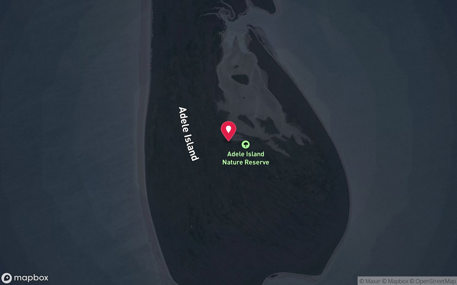
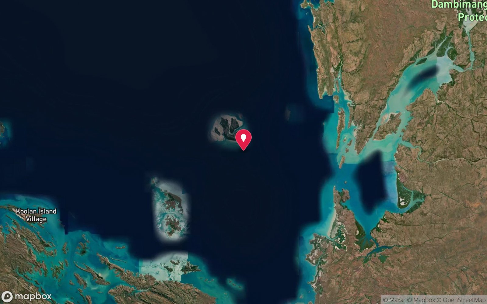
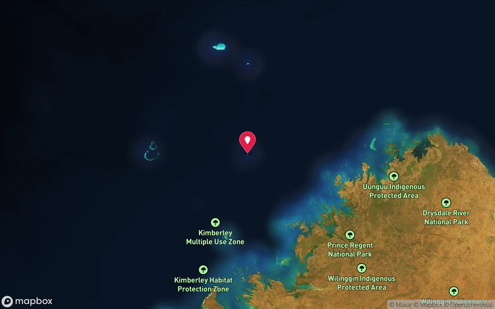
Lacepede Islands
-16.85000, 122.13000
Approximate position — not for navigation.
Open in Google MapsPrimary source: marinelife.org.auMarine park & permits
Lacepede Islands Nature Reserve (DBCA) – landing restricted; check marine park zoning
Nearest recompression chamber
Royal Darwin Hospital (Darwin) or Fiona Stanley Hospital (Perth) – RFDS evacuation; many hours away from the Kimberley coast
Diving emergency: call 000, then DAN AP 1800 088 200.
Trip planner
Build a trip around Lacepede Islands →
A day-by-day plan for Broome & Kimberley with this site locked in.
This guide is a planning aid. Conditions change daily — confirm with a local dive centre and dive within your training. Data & safety notes.
Dive profile
How this site rates
Scores are computed from the recorded data, not opinions. How?
At a glance
Lacepede Islands is a island liveaboard-only site in Broome & Kimberley, WA, 2–15 m, suited to Open Water divers, variable/tidal current, about 300 minutes by boat.
Rated intermediate because of tidal current that must be timed.
Why dive here
- A remote turtle and seabird sanctuary with the 1879 Manfred wreck.
- Rarely dived: expect to have the site to yourself, and plan your own logistics.
- Visibility often reaches 10-30 m.
About Lacepede Islands
The Lacepede Islands are four low sand cays on a coral reef about 150 km north of Broome, protected as the Lacepede Islands Nature Reserve. They are internationally important for seabirds — brown boobies, lesser frigatebirds and others — and are the largest green turtle rookery in the Kimberley. The Marine Life Network notes the islands, the threatened green turtles, and the historic wreck of the barque Manfred (1879), visible at low tide.
The islands were mined for guano from 1876 to 1884 and used as an anchorage by pearling luggers; divingwawrecks notes undiscovered luggers in the surrounding waters. Reef diving is shallow, on the platform edge, and depends on tide and visibility; turtles are the main attraction underwater.
Kimberley diving context: the Kimberley coast between Broome and Wyndham is one of the least-dived coastlines in Australia. Huge tides (up to 10–11 m), turbid inshore water, saltwater crocodiles around the islands and rivers, and large sharks mean that inshore diving is generally discouraged by experienced local boaters, and expedition cruise ships mostly offer snorkelling or Zodiac excursions rather than scuba. The serious diving is offshore, on atolls and island reefs far from river run-off, visited on a handful of liveaboard departures a year from Broome or Darwin. Medical help is many hours away; divers should be conservative and carry DAN or equivalent evacuation cover.
Planning notes: Open Water certification is recommended and the site is rated intermediate. Expect to spend most of the dive around 6 m, with a maximum of about 15 m. It can only be reached on a multi-day expedition or liveaboard, so it is usually one of several sites dived on the trip and choices are made by the crew on the day. Currents are significant, so timing around the tide is part of the plan. Best season: September–November (calmest window). Traffic: remote/expedition only.
Getting there & entry
Four sand cays on a coral reef platform about 150 km north of Broome (off the Dampier Peninsula), a nature reserve with major seabird and green turtle rookeries.
Reached by charter vessel or expedition cruise from Broome (about 150 km, typically an overnight or long day passage), or by private ocean-going boat. There is no landing on the islands without authorisation – they are a nature reserve and seabird rookery. Anchor on sand off the reef platform and dive or snorkel from a tender on neap tides.
Expedition vessels typically depart Broome or Darwin (or Wyndham) on 10–14 night Kimberley voyages, or on dedicated 7–12 night reef expeditions; private vessels need full offshore capability, long-range communications (satphone/EPIRB) and fuel for several hundred nautical miles. Dives are run from tenders launched from the mothership, which anchors in the lee of the reef.
Entry: Giant stride from liveaboard or tender
Facilities: None – remote; all services on the vessel.
Weather, swell & tides
Kimberley offshore trips run in the dry season (roughly April–October; Scott Reef and Rowley trips cluster September–November when winds ease). The wet season (November–April) brings cyclones, and the Kimberley coast has tides up to 10–11 m, creating violent currents, whirlpools and tidal races near the mainland and inshore reefs. Offshore atolls have smaller ranges but strong currents in channels.
Strong easterly trade winds in mid-dry season can make crossings rough.
Best season: September–November (calmest window)
How the dive is usually run
On a neap slack, snorkel or dive the reef edge from the tender at 5–12 m, watching for turtles; stay close to the tender.
Marine life
- Green turtles (major rookery) →
- reef fish
- corals
- sharks
- rays; seabirds (brown booby, lesser frigatebird)
Linked species have their own page listing every site where they are recorded. All marine life →
Training required
Within the 18 m limit of an entry-level certification.
Depth tiers: 0–10 m easy · to 18 m Open Water · 18–30 m Advanced (25 m+ is a deep dive) · 30–40 m Deep specialty · 40 m+ technical. All courses
Hazards & warnings
Remote; big tides; sharks; no landing without authorisation; crocodiles possible.
Dive centres that go here
No scheduled dive operator; visited by Kimberley expedition cruises (mostly birdwatching/Zodiac) and occasional Broome charters and private vessels.
Other dive centres in Broome & Kimberley
The Great Escape Charter Company
Named by sitesBroome · Rowley Shoals · WA
Website live for 2026 advertising 5- and 7-night Rowley Shoals dive and snorkel cruises for the 2026 and 2027 seasons (March–November).
greatescapecruises.com.au · (08) 9193 5983
Broome Historical Walking Tours
Named by sitesBroome · Broome & Kimberley · WA
Walking tour operator, not a dive business; departs Town Beach, Broome.
broomehistoricalwalkingtours.com
All dive centres in Western Australia →
Operators mentioned: Kimberley expedition cruise operators
Map
7 pinned sites. Pins marked approximate on their pages show the general area only; not for navigation.
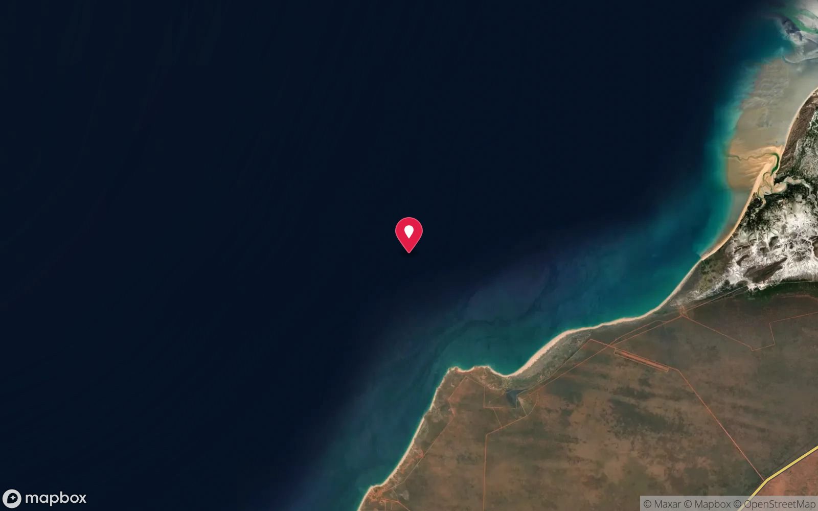
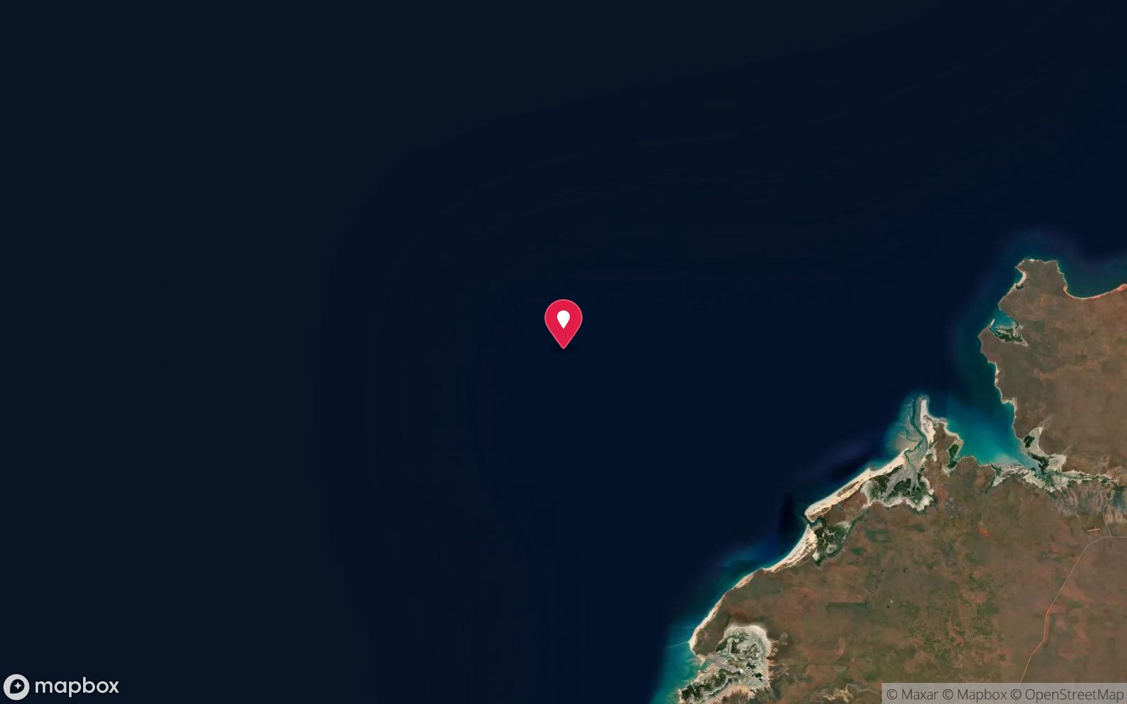
Satellite views
Lacepede Islands: frequently asked questions
How deep is Lacepede Islands?
Lacepede Islands reaches a maximum depth of 15 m, with the shallowest part at about 2 m; most of the dive is spent around 6 m.
What certification do I need to dive Lacepede Islands?
Open Water is the recommended minimum. Rated intermediate because of tidal current that must be timed.
Can I shore dive Lacepede Islands?
No, it is reached by boat (about 300 minutes). A dive centre is required: boat access only.
When is the best time to dive Lacepede Islands?
September–November (calmest window).
What marine life will I see at Lacepede Islands?
Regularly recorded: Green turtles (major rookery), reef fish, corals, sharks, rays; seabirds (brown booby, lesser frigatebird).
What wetsuit do I need at Lacepede Islands?
3 mm full suit or skin.
How cold is the water at Lacepede Islands?
Typically 29-31 °C in summer and 25-27 °C in winter.
What are the main hazards at Lacepede Islands?
Remote; big tides; sharks; no landing without authorisation; crocodiles possible. See the hazards section above for the full list.
Where is the nearest recompression chamber to Lacepede Islands?
Royal Darwin Hospital (Darwin) or Fiona Stanley Hospital (Perth) – RFDS evacuation; many hours away from the Kimberley coast. In an emergency call 000, then DAN Asia-Pacific on 1800 088 200.
Diving in Broome & Kimberley
Broome's diving is tidal and turbid but full of history: the pearling-lugger wrecks, WWII flying boats sunk in Roebuck Bay in 1942 and reachable on the lowest tides, and the reefs off Gantheaume Point. The Kimberley coast beyond is liveaboard country with huge tides, crocodiles and untouched reef.
Getting there: Fly to Broome. Local operators dive on neap tides; Kimberley coast trips are multi-day expedition charters.
All Broome & Kimberley dive sites and a suggested itinerary →
Sources
- marinelife.org.au/?page_id=206
- divingwawrecks.com/kimberley
- exploreparks.dbca.wa.gov.au/sites/default/files/2023-07/lacepede-islands-nature-reserve-visitor-guide.pdf
Data confidence: Medium · Being verified: Reef depths; landing rules.. Last updated September 2026. Know this site better? How to send a correction