Dive slate · divesites.com.au · printed 7 Nov 2026
The Sugarlump
Tasman Peninsula, Tasmania · near Eaglehawk Neck
| Depth | 12–20 m |
|---|---|
| Minimum level | Advanced Open Water |
| Difficulty | Intermediate |
| Access | Boat (day trip) |
| Entry | Back roll or giant stride from charter boat |
| Current | Mild |
| Visibility | 8-20 m |
| Water | summer 14-18 °C, winter 10-13 °C |
| Suit | Drysuit strongly recommended year-round; 7 mm semi-dry or two-piece 7 mm wetsuit with hood and gloves is the minimum in summer |
| Best season | Late summer to autumn (February-May) for settled weather and best visibility; diveable year-round between fronts |
| Bottom time | 40 min |
| Position | not published |
| Permit | Adjacent to Tasman National Park; no permit required. |
| Nearest chamber | Royal Hobart Hospital Hyperbaric Medicine Unit (Hobart CBD); DAN emergency hotline 1800 088 200 |
| Emergency | 000 · DAN Asia-Pacific diving emergency 1800 088 200 |
The Sugarlump
Also known as Sugarloaf, Sugar Lump
Two split rock cubes with a fissure full of anemones, big banded morwong and crayfish.
Near Eaglehawk Neck · Tasman Peninsula, Tasmania
- Depth
- 12–20 m
- Minimum level
- Advanced Open Water
- Access
- Boat (day trip)
- Boat ride
- ~8 min
- Water
- 14-18 °C
- Visibility
- 8-20 m
The Sugarlump12–20 m · Advanced Open Water
Dive factsDepths, conditions, location & safety
Season
Off-peak nowBest months: January, February, March, April, May, December.
Late summer to autumn (February-May) for settled weather and best visibility; diveable year-round between fronts
- Best months
- Now (November)
Dive facts
- Depth
- 12–20 m
- Typical depth
- 17 m
- Certification
- Advanced Open Water
- Difficulty
- Intermediate
- Depth tier
- Advanced Open Water (18–30 m)
- Access
- Boat (day trip)
- Dive centre needed
- Yes – boat access only
- Shore / independent
- No
- Boat ride
- ~8 min
- Current
- Mild
- Visibility
- 8-20 m
- Water temp (summer)
- 14-18 °C
- Water temp (winter)
- 10-13 °C
- Water
- Cold Temperate
- Bottom time
- 40 min
- Dive traffic
- Rarely dived (private boat/club only)
- Night dive
- No
- Snorkel friendly
- No
Exposure suit
Drysuit strongly recommended year-round; 7 mm semi-dry or two-piece 7 mm wetsuit with hood and gloves is the minimum in summer
Location
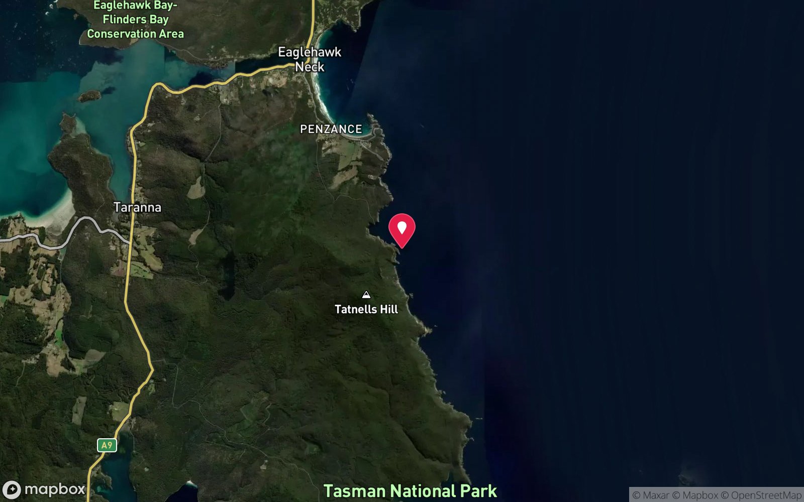
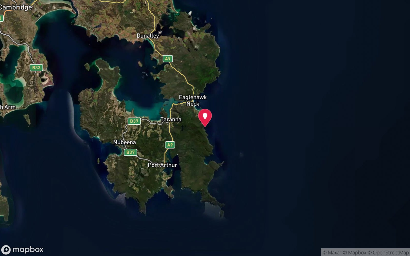
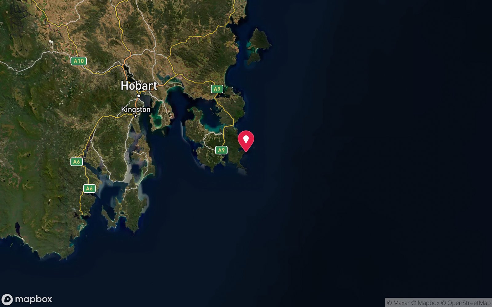
Eaglehawk Neck coast
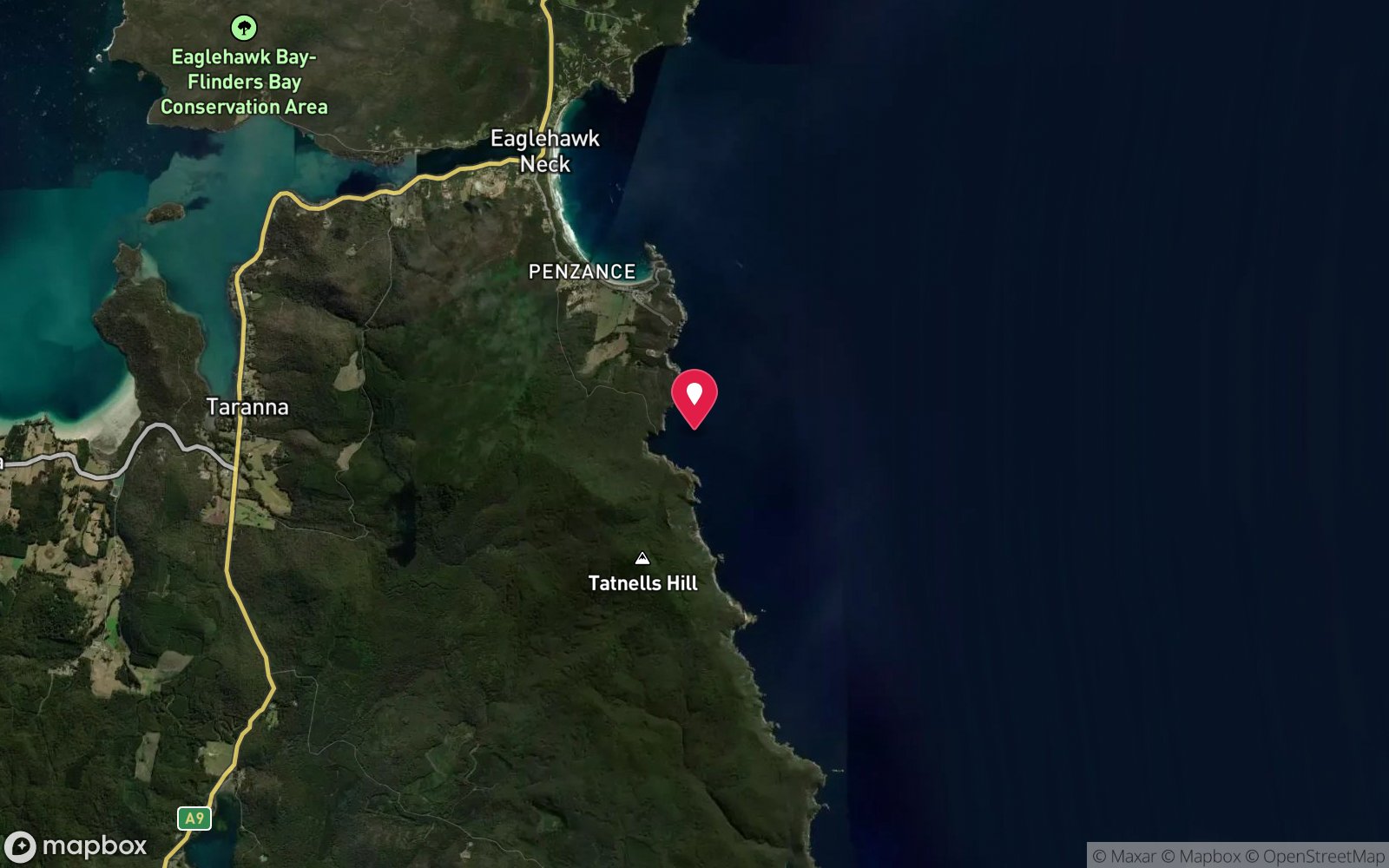
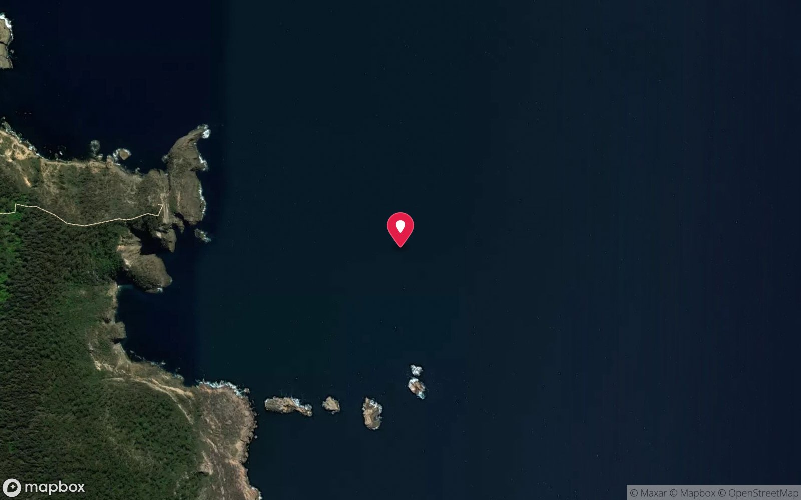
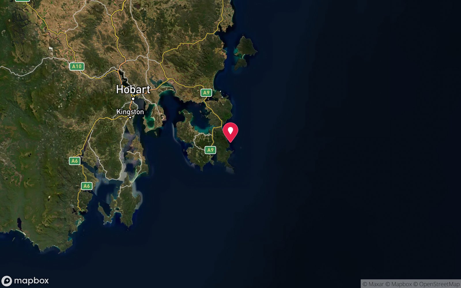
No published coordinates. The map above shows the general area, estimated from other documented sites near Eaglehawk Neck.
Primary source: marinelife.org.auMarine park & permits
Adjacent to Tasman National Park; no permit required.
Nearest recompression chamber
Royal Hobart Hospital Hyperbaric Medicine Unit (Hobart CBD); DAN emergency hotline 1800 088 200
Diving emergency: call 000, then DAN AP 1800 088 200.
Trip planner
Build a trip around The Sugarlump →
A day-by-day plan for Tasman Peninsula with this site locked in.
This guide is a planning aid. Conditions change daily — confirm with a local dive centre and dive within your training. Data & safety notes.
Dive profile
How this site rates
Scores are computed from the recorded data, not opinions. How?
At a glance
The Sugarlump is a pinnacle / bommie boat dive in Tasman Peninsula, TAS, 12–20 m, suited to Advanced Open Water divers, about 8 minutes by boat.
Rated intermediate because of depth beyond 18 m, surge on the entry or in the shallows, cold water.
Why dive here
- Two split rock cubes with a fissure full of anemones, big banded morwong and crayfish.
- Rarely dived: expect to have the site to yourself, and plan your own logistics.
- Visibility often reaches 8-20 m.
Conditions to avoid
- Strong southerly or south-east swell and wind
- Afternoon north-easterlies
- Strong westerlies
About The Sugarlump
The Sugarlump is a compact reef feature on the coast near Eaglehawk Neck made up of two large rock cubes that have split apart, leaving a fissure between them. The Marine Life Network guide rates it in 15-20 m and describes the crack as packed with life, with huge banded morwong, crayfish and anemones. The appeal of the site is the concentration of life in a small area.
The walls of the fissure are shaded from direct sunlight, so jewel anemones, sponges and other encrusting invertebrates cover the rock, while the gap provides shelter for fish. Banded morwong, which can grow very large on protected reefs, rest on the floor, and rock lobsters shelter in the cracks and undercuts at the base of the blocks. The outer faces of the blocks carry brown algae in the shallows and sponges deeper down, and butterfly perch often hang in the current on the seaward side.
It is a straightforward dive for an Advanced or experienced Open Water diver: a short, deliberate circuit rather than a long swim. Because the site is not on the regular charter roster, it is quiet, and divers who visit usually do so on private boats with local knowledge. Navigation is simple once on the bottom, since the blocks provide a clear reference, but an SMB is essential for pick-up along this cliffed coastline where there is no shore exit.
Documentation is limited and mostly historical, so treat depths as indicative and confirm current conditions with Eaglehawk Dive Centre.
Getting there & entry
Two cube-shaped rock blocks near the coastal cliffs south of Eaglehawk Neck, separated by a fissure packed with invertebrates.
Boat access only. Launch at the Pirates Bay boat ramp at Eaglehawk Neck (Old Jetty Road, off the Arthur Highway about 75 km from Hobart) or dive with Eaglehawk Dive Centre, whose boat leaves from the same jetty. The site lies along the cliffed coast between Pirates Bay and Waterfall Bay, a run of roughly 5-10 minutes; the exact mark is not published, so private boats should ask the dive centre or use a sounder to find the two blocks.
Entry: Back roll or giant stride from charter boat
Weather, swell & tides
The Tasman Peninsula faces the full Southern Ocean and Tasman Sea. South-westerly to south-easterly groundswell and strong easterlies are what cancel trips: operators generally need westerly or north-westerly winds with swell under about 1.5-2 m for the open-coast sites. Prolonged southerly swell pushes surge deep into the caves and gutters and churns visibility; after a big blow allow two or three days to settle.
Late summer and autumn (February-May) bring the most settled windows and the clearest water; winter can be glassy between fronts but fronts arrive every few days. The Sugarlump sits along the east-facing cliffs, so north-easterly to south-easterly winds and swell close it; westerlies give flat water.
Best season: Late summer to autumn (February-May) for settled weather and best visibility; diveable year-round between fronts
How the dive is usually run
Descend to the base of the larger block at about 20 m, circle it, then enter the fissure between the two blocks and work slowly through it looking for morwong and crayfish. Circle the second block while rising to 12-15 m and ascend on an SMB.
Marine life
- Banded morwong (large)
- southern rock lobster
- jewel anemones
- sponges
- butterfly perch
- wrasse
- leatherjackets
- bastard trumpeter
Linked species have their own page listing every site where they are recorded. All marine life →
Training required
Beyond 18 m an Advanced certification (which includes a deep dive to 30 m) is the accepted minimum. Anything past 25 m is a deep dive in practice.
Open Water divers can dive the shallower section (typical depth 17 m); the full site to 20 m needs Advanced Open Water. Operators often quote Open Water.
Operators' own listing: Open Water.
Courses that help here
- Drysuit Diver – Cold water; locals dive dry for much of the year.
Depth tiers: 0–10 m easy · to 18 m Open Water · 18–30 m Advanced (25 m+ is a deep dive) · 30–40 m Deep specialty · 40 m+ technical. All courses
Hazards & warnings
Exposed to easterly swell; surge in the fissure; no shore exit; boat pick-up requires SMB.
Dive centres that go here
No regular scheduled trips; Eaglehawk Dive Centre may visit on request or as an alternative in calm weather. Otherwise private boat/club divers.
Operators recorded for The Sugarlump
Other dive centres in Tasman Peninsula
General area
No position has been published for The Sugarlump. The circle shows where it is likely to be, worked out from other documented sites near Eaglehawk Neck. Ask a local operator for the exact site.
Dashed circle: general area (about 10 km), from other documented sites near Eaglehawk Neck. 6 pinned sites. Pins marked approximate on their pages show the general area only; not for navigation.
The Sugarlump: frequently asked questions
How deep is The Sugarlump?
The Sugarlump reaches a maximum depth of 20 m, with the shallowest part at about 12 m; most of the dive is spent around 17 m.
What certification do I need to dive The Sugarlump?
Advanced Open Water is the recommended minimum. Open Water divers can dive the shallower section (typical depth 17 m); the full site to 20 m needs Advanced Open Water. Operators often quote Open Water. Rated intermediate because of depth beyond 18 m, surge on the entry or in the shallows, cold water.
Can I shore dive The Sugarlump?
No, it is reached by boat (about 8 minutes). A dive centre is required: boat access only.
When is the best time to dive The Sugarlump?
Late summer to autumn (February-May) for settled weather and best visibility; diveable year-round between fronts.
What marine life will I see at The Sugarlump?
Regularly recorded: Banded morwong (large), southern rock lobster, jewel anemones, sponges, butterfly perch, wrasse, leatherjackets, bastard trumpeter.
What wetsuit do I need at The Sugarlump?
Drysuit strongly recommended year-round; 7 mm semi-dry or two-piece 7 mm wetsuit with hood and gloves is the minimum in summer.
How cold is the water at The Sugarlump?
Typically 14-18 °C in summer and 10-13 °C in winter.
What are the main hazards at The Sugarlump?
Exposed to easterly swell; surge in the fissure; no shore exit; boat pick-up requires SMB. See the hazards section above for the full list.
Where is the nearest recompression chamber to The Sugarlump?
Royal Hobart Hospital Hyperbaric Medicine Unit (Hobart CBD); DAN emergency hotline 1800 088 200. In an emergency call 000, then DAN Asia-Pacific on 1800 088 200.
Diving in Tasman Peninsula
The Tasman Peninsula has the tallest sea cliffs in the southern hemisphere, and beneath them some of Australia's most dramatic diving: the Cathedral Cave system and Waterfall Bay's caves and wall, the Sisters and Hippolyte Rocks with their fur seals, the Thumbs, and the remnant giant kelp at Fortescue Bay and Munro Bight. Deep sites like the Patersons Arch and the Nord wreck (40 m) reward experienced divers.
Getting there: Ninety minutes from Hobart. A dedicated dive operator at Eaglehawk Neck runs boat dives; Fortescue Bay and Pirates Bay have shore access.
Sources
Data confidence: Low · Being verified: Exact location unknown; single older source. Check whether the name is still used locally.. Last updated September 2026. Know this site better? How to send a correction