Dive slate · divesites.com.au · printed 9 Nov 2026
Fisheries Beach
Fleurieu Peninsula & Victor Harbor, South Australia · near Cape Jervis
| Depth | 1–18 m |
|---|---|
| Minimum level | Open Water |
| Difficulty | Intermediate |
| Access | Shore |
| Entry | Beach entry beside the line of rocks on the right of the sandy beach |
| Current | Variable/Tidal |
| Visibility | 6-15 m |
| Water | summer 19-23 °C, winter 12-14 °C |
| Suit | 7 mm wetsuit with hood year-round; drysuit popular in winter (June-September) |
| Best season | Late summer to autumn (February-May) for the calmest mornings and best visibility; winter can be clear on easterly days |
| Bottom time | 50 min |
| Position | -35.61200, 138.11800 (approximate) |
| Permit | Encounter Marine Park – check zoning maps; historic relics protected |
| Nearest chamber | Royal Adelaide Hospital Hyperbaric Medicine Unit (Adelaide CBD); DAN emergency hotline 1800 088 200 |
| Emergency | 000 · DAN Asia-Pacific diving emergency 1800 088 200 |
Fisheries Beach
Also known as Fishery Beach, Fishery Bay (Cape Jervis)
A historic whaling and ore-shipping landing where 19th-century anchors, cartwheels and chain lie on the seabed.
Near Cape Jervis · Fleurieu Peninsula & Victor Harbor, South Australia
- Depth
- 1–18 m
- Minimum level
- Open Water
- Access
- Shore
- Boat ride
- Shore entry
- Water
- 19-23 °C
- Visibility
- 6-15 m
Fisheries Beach1–18 m · Open Water · Shore
Dive factsDepths, conditions, location & safety
Season
Off-peak nowBest months: January, February, March, April, May, June, July, August, December.
Late summer to autumn (February-May) for the calmest mornings and best visibility; winter can be clear on easterly days
- Best months
- Now (November)
Dive facts
- Depth
- 1–18 m
- Typical depth
- 8 m
- Certification
- Open Water
- Difficulty
- Intermediate
- Depth tier
- Open Water (10–18 m)
- Access
- Shore
- Dive centre needed
- No – independently diveable
- Shore / independent
- Yes
- Current
- Variable/Tidal
- Visibility
- 6-15 m
- Water temp (summer)
- 19-23 °C
- Water temp (winter)
- 12-14 °C
- Water
- Temperate
- Bottom time
- 50 min
- Dive traffic
- Rarely dived (private boat/club only)
- Night dive
- No
- Snorkel friendly
- Partial
Exposure suit
7 mm wetsuit with hood year-round; drysuit popular in winter (June-September)
Location
Cape Jervis · Fleurieu Peninsula
-35.61200, 138.11800
Approximate position — not for navigation.
Open in Google MapsPrimary source: marinelife.org.auMarine park & permits
Encounter Marine Park – check zoning maps; historic relics protected
Nearest recompression chamber
Royal Adelaide Hospital Hyperbaric Medicine Unit (Adelaide CBD); DAN emergency hotline 1800 088 200
Diving emergency: call 000, then DAN AP 1800 088 200.
Trip planner
Build a trip around Fisheries Beach →
A day-by-day plan for Fleurieu Peninsula & Victor Harbor with this site locked in.
This guide is a planning aid. Conditions change daily — confirm with a local dive centre and dive within your training. Data & safety notes.
Dive profile
How this site rates
Scores are computed from the recorded data, not opinions. How?
At a glance
Fisheries Beach is a shore / rock platform shore dive you can do independently in Fleurieu Peninsula & Victor Harbor, SA, 1–18 m, suited to Open Water divers, variable/tidal current.
Rated intermediate because of tidal current that must be timed, boat traffic overhead, cold water.
Why dive here
- A historic whaling and ore-shipping landing where 19th-century anchors, cartwheels and chain lie on the seabed.
- Rarely dived: expect to have the site to yourself, and plan your own logistics.
Conditions to avoid
- Strong southerly or south-east swell and wind
- Any time other than slack water
About Fisheries Beach
Fisheries Beach is a small beach east of Cape Jervis with a surprisingly rich history. The Marine Life Network explains that a whaling station operated here in the 1840s and 1850s, and from 1862 the beach became the shipping port for ore from the Talisker silver-lead mine. Vessels were beached at high tide and loaded or unloaded by horse and cart, and the ruins of a steam engine, boiler and crusher remain ashore.
Underwater, that history is visible as discarded anchors, cartwheels, chain and other artefacts, almost 100 years old or more, spread across the bottom. The Federation describes a line of rocks on the right of the sandy beach running about 50 m into the water, and a reef 300-400 m offshore running parallel to the shore. Depths range from 5 m near shore to about 18 m further out.
Reef life is described as limited, and the Marine Life Network suggests the trip offshore is more interesting than the reef itself, largely because of the artefacts. Expect typical southern Fleurieu fish such as old wives, sweep, magpie perch, wrasse and leatherjackets, and possibly seadragons and rays over the sand and weed. The site suits Open Water divers comfortable with a long surface swim and compass navigation, and anyone interested in maritime archaeology.
Artefacts are protected historic material: photograph them but leave them in place. Current can run offshore, so time the dive for slack water. Ashore, the ruins of the mine's engine and crusher make an interesting short walk after the dive.
Getting there & entry
Historic beach landing east of Cape Jervis with a line of rocks running 50 m into the water and a low reef parallel to shore 300-400 m out, scattered with 19th-century anchors, cartwheels and chain; 5-18 m.
Cape Jervis is about 1 hour 45 minutes (about 110 km) south of Adelaide at the end of Main South Road. A sign in Cape Jervis points to Fisheries (Fishery) Beach, reached by a short gravel road east of the town. Park at the beach and enter to the right of the sandy beach beside the line of rocks that runs about 50 m into the water; the reef lies 300-400 m straight out from there, a long surface swim.
Entry: Beach entry beside the line of rocks on the right of the sandy beach
Facilities: Parking at the beach; Cape Jervis general store, caravan park and ferry terminal facilities nearby; air fills at Sea Dragon Dive Lodge (Second Valley) or Adelaide.
Weather, swell & tides
Fisheries Beach faces north-west into the entrance of Gulf St Vincent near Backstairs Passage. It is sheltered from southerly swell but exposed to north-westerly to westerly winds. Tidal streams run strongly through Backstairs Passage, and the Marine Life Network notes current affects the offshore areas, so dive near slack water.
Visibility is often good because of oceanic water from the passage.
Best season: Late summer to autumn (February-May) for the calmest mornings and best visibility; winter can be clear on easterly days
If it's blown out
Sheltered or shore sites within 25 km that often work when Fisheries Beach doesn't.
- Rapid Bay Jetty · 12 km · Max 10 m
- Second Valley · 14 km · Max 9 m
- Second Valley Jetty · 14 km · Max 5 m
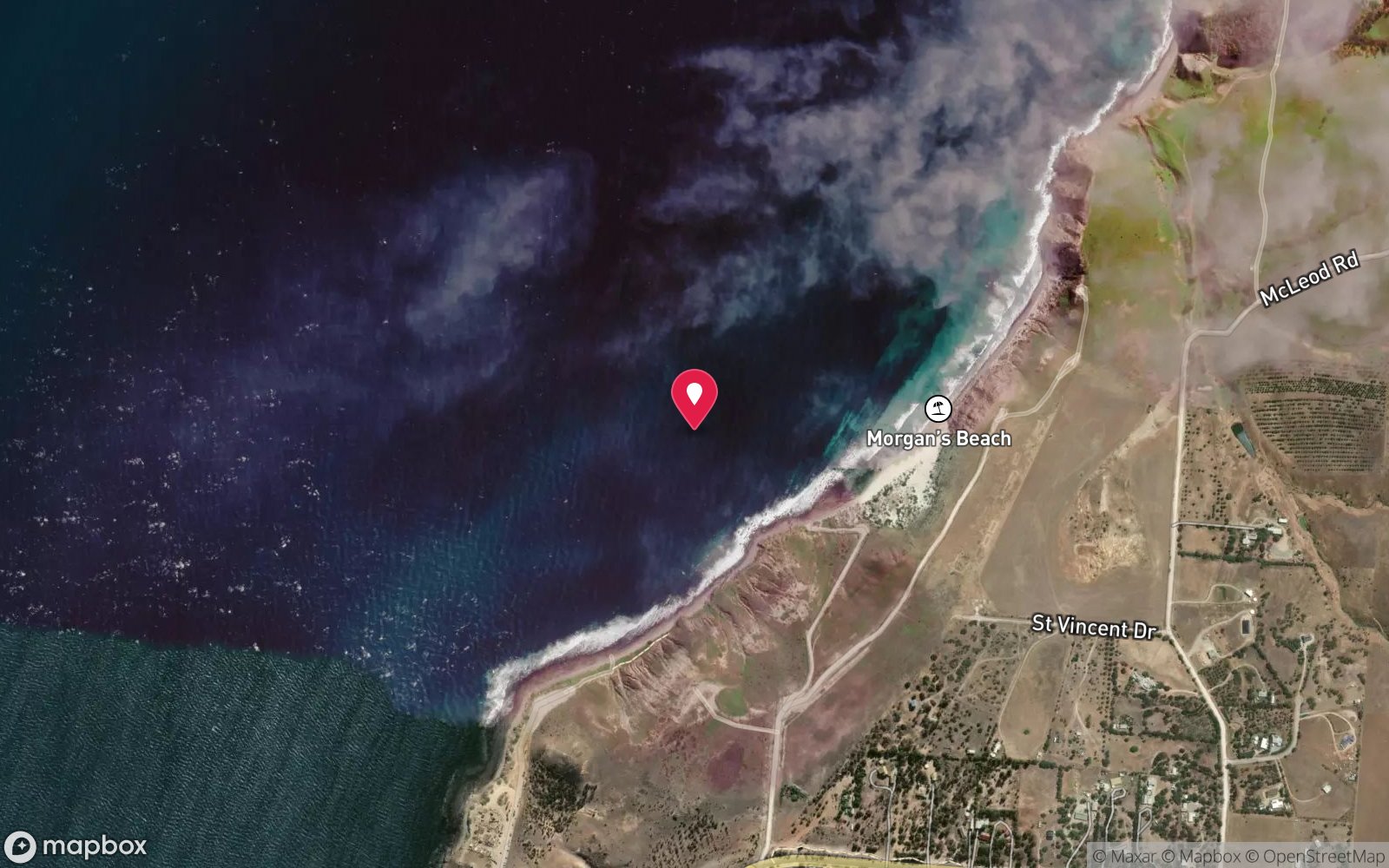
- Morgan's Beach (Cape Jervis) · 2 km · Depth not published
How the dive is usually run
Enter beside the rock line and follow it out to its end, then swim out over sand to the parallel reef at 300-400 m. Explore along the reef and the scattered artefacts, turn at half gas and navigate back by compass.
Marine life
- Old wives
- sweep
- magpie perch
- wrasse
- leatherjackets
- rays; reef life described as limited
Linked species have their own page listing every site where they are recorded. All marine life →
Training required
Within the 18 m limit of an entry-level certification.
Courses that help here
- Drysuit Diver – Cold water; locals dive dry for much of the year.
- Underwater Navigation – Navigation is part of the dive plan.
Depth tiers: 0–10 m easy · to 18 m Open Water · 18–30 m Advanced (25 m+ is a deep dive) · 30–40 m Deep specialty · 40 m+ technical. All courses
Hazards & warnings
Current offshore (near Backstairs Passage) – dive slack water; long surface swim (300-400 m) – surface marker needed; boat traffic from Cape Jervis; historic artefacts protected – do not remove.
Dive centres that go here
No regular operator; SDFSA-listed shore dive visited occasionally by clubs.
Operators recorded for Fisheries Beach
Adelaide Scuba
ListedGlenelg North · Adelaide Metro · SA
An Adelaide business providing training, equipment and local diving support, located near Glenelg.
adelaidescuba.com.au · (08) 8294 7744
Diving Adelaide
ListedMarleston · Adelaide Metro · SA
An Adelaide training and guided diving operation serving local sites and organised trips.
divingadelaide.com.au · (08) 8122 5003
Underwater Sports
ListedHolden Hill · Adelaide Metro · SA
An Adelaide equipment and service business. Retail range and servicing capability require verification.
underwatersports.com.au · (08) 8263 3337
Sea Dragon Dive Lodge
Named by sitesSecond Valley · Fleurieu Peninsula & Victor Harbor · SA
seadragondivelodge.com.au · 0499 229 053
Other dive centres in Fleurieu Peninsula & Victor Harbor
The Dive Shack
ListedGlenelg · Adelaide Metro · SA
An Adelaide business combining retail, servicing and training for South Australian divers.
thediveshack.com.au
Divers Delight
ListedStepney · Adelaide Metro · SA
An Adelaide dive business. Retail range, servicing and training availability require verification.
diversdelight.com.au · (08) 8363 7518
Adelaide Technical Diving
ListedPark Holme · Adelaide Metro · SA
An Adelaide operation specialising in technical diving training, relevant to divers preparing for deep, decompression or cave diving in South Australia.
Map
7 pinned sites. Pins marked approximate on their pages show the general area only; not for navigation.
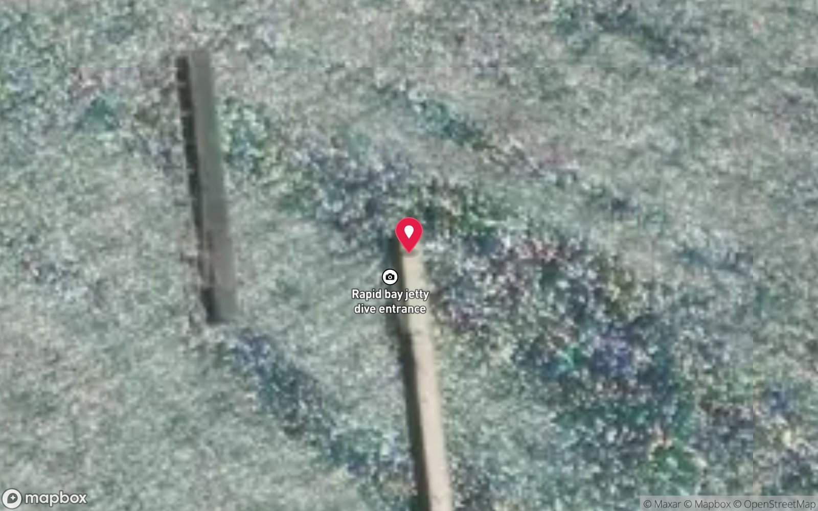
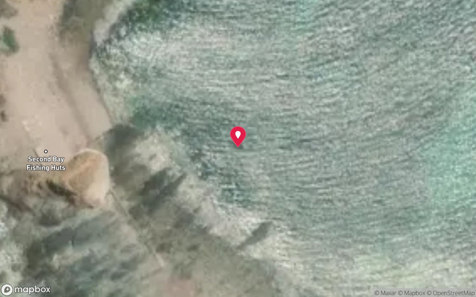
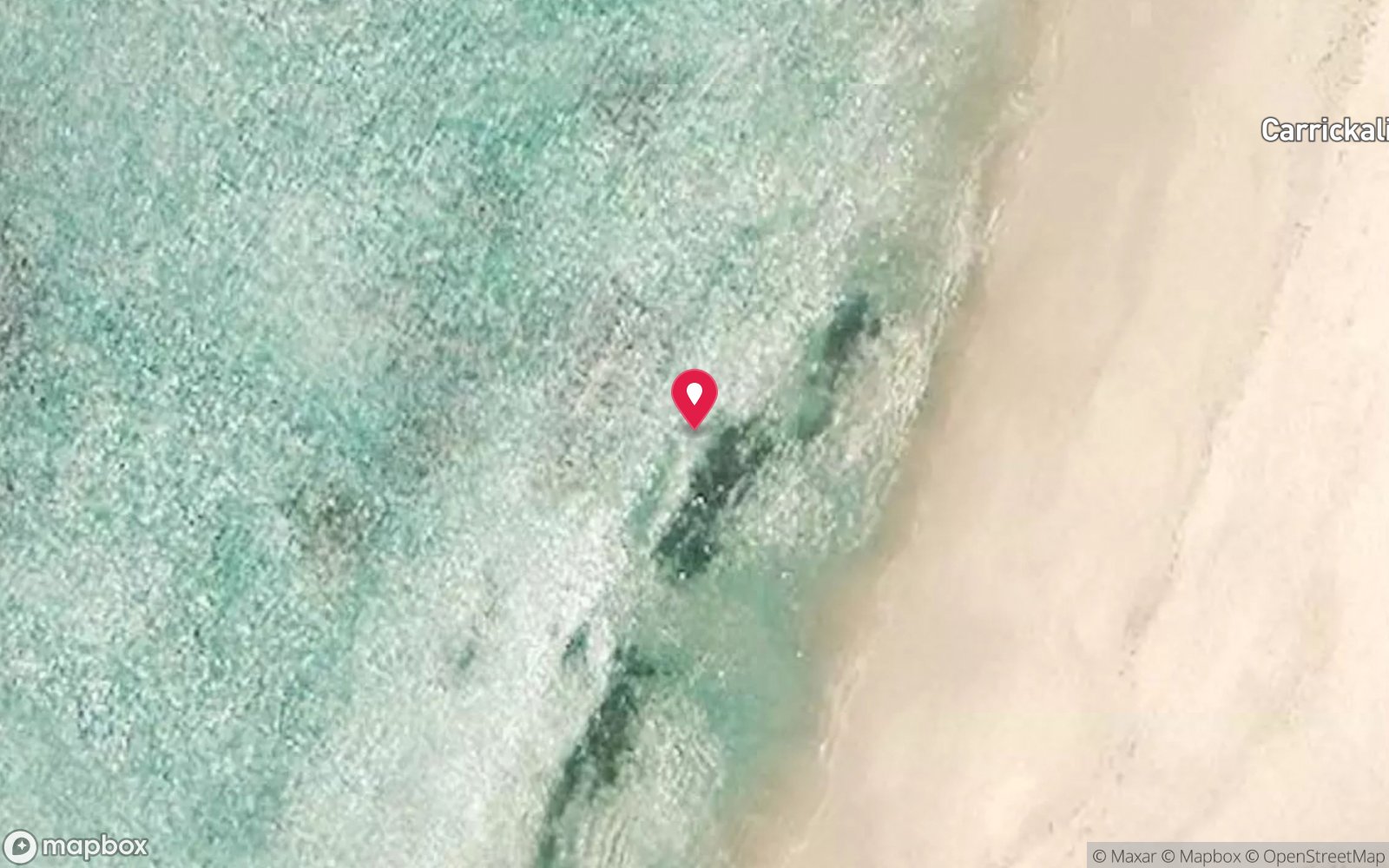
Satellite views
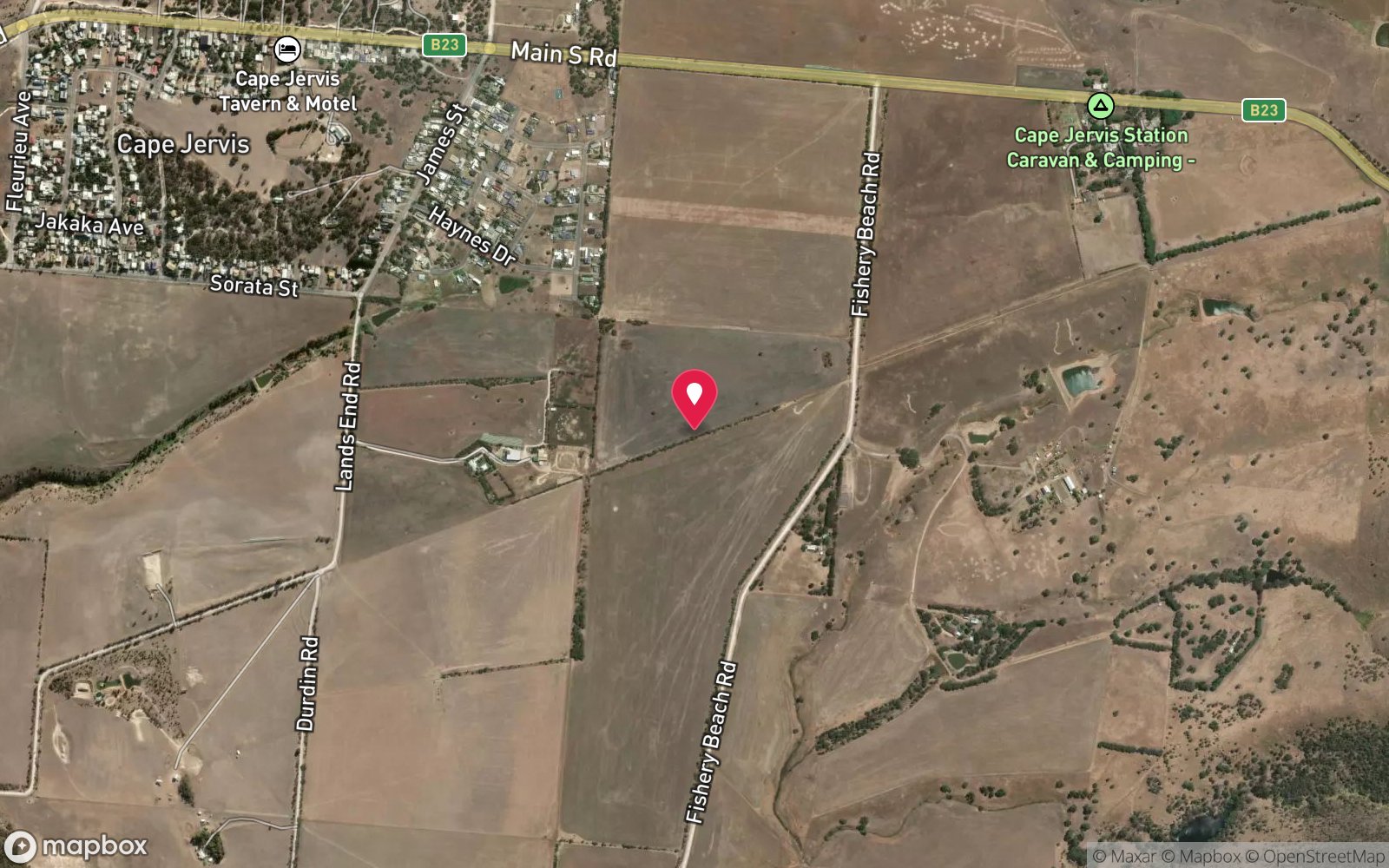
Fisheries Beach: frequently asked questions
How deep is Fisheries Beach?
Fisheries Beach reaches a maximum depth of 18 m, with the shallowest part at about 1 m; most of the dive is spent around 8 m.
What certification do I need to dive Fisheries Beach?
Open Water is the recommended minimum. Rated intermediate because of tidal current that must be timed, boat traffic overhead, cold water.
Can I shore dive Fisheries Beach?
Yes. Fisheries Beach is a shore dive that can be done independently: beach entry beside the line of rocks on the right of the sandy beach.
When is the best time to dive Fisheries Beach?
Late summer to autumn (February-May) for the calmest mornings and best visibility; winter can be clear on easterly days.
What marine life will I see at Fisheries Beach?
Regularly recorded: Old wives, sweep, magpie perch, wrasse, leatherjackets, rays; reef life described as limited.
What wetsuit do I need at Fisheries Beach?
7 mm wetsuit with hood year-round; drysuit popular in winter (June-September).
How cold is the water at Fisheries Beach?
Typically 19-23 °C in summer and 12-14 °C in winter.
What are the main hazards at Fisheries Beach?
Current offshore (near Backstairs Passage) – dive slack water; long surface swim (300-400 m) – surface marker needed; boat traffic from Cape Jervis; historic artefacts protected – do not remove. See the hazards section above for the full list.
Where is the nearest recompression chamber to Fisheries Beach?
Royal Adelaide Hospital Hyperbaric Medicine Unit (Adelaide CBD); DAN emergency hotline 1800 088 200. In an emergency call 000, then DAN Asia-Pacific on 1800 088 200.
Diving in Fleurieu Peninsula & Victor Harbor
The Fleurieu is where you go to see a leafy seadragon. Rapid Bay Jetty is the most reliable site anywhere, and Second Valley, the Bluff at Victor Harbor and Port Noarlunga are close behind. The ex-HMAS Hobart, a 133 m destroyer scuttled off Yankalilla in 2002, is the region's flagship boat dive, and the granite coves of Second Valley and Carrickalinga are easy shore dives.
Getting there: An hour or two south of Adelaide. Rapid Bay and Second Valley are walk-in shore dives; the Hobart is a charter from Wirrina Cove or Adelaide.
All Fleurieu Peninsula & Victor Harbor dive sites and a suggested itinerary →
Sources
- marinelife.org.au/?page_id=130
- sdfsa.net/sa-dive-sites/fleurieu-peninsula
- en.wikivoyage.org/wiki/Diving_in_South_Australia
Data confidence: Medium · Being verified: Coordinates approximate.. Last updated September 2026. Know this site better? How to send a correction
Nearby dive sites
More shore dives in South Australia
Explore more
This region
Similar dives