Dive slate · divesites.com.au · printed 9 Nov 2026
Cape Jervis Barge (Hopper Barge No. 3)
Fleurieu Peninsula & Victor Harbor, South Australia · near Cape Jervis
| Depth | 4–7 m |
|---|---|
| Minimum level | Open Water |
| Difficulty | Intermediate |
| Access | Shore or Boat |
| Entry | Shore entry and swim, or small boat |
| Current | Variable/Tidal |
| Visibility | 6-15 m |
| Water | summer 19-23 °C, winter 12-14 °C |
| Suit | 7 mm wetsuit with hood year-round; drysuit popular in winter (June-September) |
| Best season | Late summer to autumn (February-May) for the calmest mornings and best visibility; winter can be clear on easterly days |
| Bottom time | 45 min |
| Position | -35.62450, 138.09400 (approximate) |
| Permit | No permit to dive; protected historic shipwreck; Encounter Marine Park – check zoning |
| Nearest chamber | Royal Adelaide Hospital Hyperbaric Medicine Unit (Adelaide CBD); DAN emergency hotline 1800 088 200 |
| Emergency | 000 · DAN Asia-Pacific diving emergency 1800 088 200 |
Cape Jervis Barge (Hopper Barge No. 3)
Also known as Hopper Barge No. 3, Cape Jervis mystery wreck
A shallow iron barge lost in 1880 during the salvage of the steamer Sorata, rediscovered by spearfishers in 1968.
Near Cape Jervis · Fleurieu Peninsula & Victor Harbor, South Australia
- Depth
- 4–7 m
- Minimum level
- Open Water
- Access
- Shore or Boat
- Boat ride
- ~5 min
- Water
- 19-23 °C
- Visibility
- 6-15 m
Cape Jervis Barge (Hopper Barge No. 3)4–7 m · Open Water · Shore
Dive factsDepths, conditions, location & safety
Season
Off-peak nowBest months: January, February, March, April, May, June, July, August, December.
Late summer to autumn (February-May) for the calmest mornings and best visibility; winter can be clear on easterly days
- Best months
- Now (November)
Dive facts
- Depth
- 4–7 m
- Typical depth
- 6 m
- Certification
- Open Water
- Difficulty
- Intermediate
- Depth tier
- Easy (0–10 m)
- Access
- Shore or Boat
- Offshore
- 0.16 km
- Dive centre needed
- No – independently diveable
- Shore / independent
- Possible (experienced only)
- Boat ride
- ~5 min
- Current
- Variable/Tidal
- Visibility
- 6-15 m
- Water temp (summer)
- 19-23 °C
- Water temp (winter)
- 12-14 °C
- Water
- Temperate
- Bottom time
- 45 min
- Dive traffic
- Rarely dived (private boat/club only)
- Night dive
- No
- Snorkel friendly
- Partial
Exposure suit
7 mm wetsuit with hood year-round; drysuit popular in winter (June-September)
Location
Cape Jervis · Fleurieu Peninsula
-35.62450, 138.09400
Approximate position — not for navigation.
Open in Google MapsPrimary source: mlssa.org.auMarine park & permits
No permit to dive; protected historic shipwreck; Encounter Marine Park – check zoning
Nearest recompression chamber
Royal Adelaide Hospital Hyperbaric Medicine Unit (Adelaide CBD); DAN emergency hotline 1800 088 200
Diving emergency: call 000, then DAN AP 1800 088 200.
Trip planner
Build a trip around Cape Jervis Barge (Hopper Barge No. 3) →
A day-by-day plan for Fleurieu Peninsula & Victor Harbor with this site locked in.
This guide is a planning aid. Conditions change daily — confirm with a local dive centre and dive within your training. Data & safety notes.
Dive profile
How this site rates
Scores are computed from the recorded data, not opinions. How?
At a glance
Cape Jervis Barge (Hopper Barge No. 3) is a wreck shore dive for experienced divers in Fleurieu Peninsula & Victor Harbor, SA, 4–7 m, suited to Open Water divers, variable/tidal current, about 5 minutes by boat.
Rated intermediate because of tidal current that must be timed, boat traffic overhead, cold water.
Why dive here
- A shallow iron barge lost in 1880 during the salvage of the steamer Sorata, rediscovered by spearfishers in 1968.
- Sunk in 1880 (Iron hopper barge, built Glanville 1880; 34.8 m); protected as underwater cultural heritage, so look but do not touch.
- Rarely dived: expect to have the site to yourself, and plan your own logistics.
About Cape Jervis Barge (Hopper Barge No. 3)
The Cape Jervis barge is a small wreck with a big story. In early September 1880 the steamer SS Sorata stranded on a rock ledge about a mile south of Cape Jervis, and a major salvage effort followed. Among the vessels brought in was Hopper Barge No. 3, an iron barge 34.8 m long built at Glanville only months earlier, in January 1880, used to carry silt as part of the attempt to refloat the steamer.
On 21 October 1880 the barge sank in heavy weather. The wreck was rediscovered by chance in 1968, when three spearfishers swept around the rocks in deteriorating conditions came upon an old barge. The Marine Life Society of SA has since investigated whether this 'mystery wreck' is Hopper Barge No. 3, and concluded that it very likely is.
The Marine Life Network describes the site as a low reefy bottom in about 6 m with the wreck of an old iron barge used in the rescue of the Sorata – a small but interesting diversion. Expect broken iron plates and frames colonised by algae, sponges and small invertebrates, with reef fish such as old wives, sweep, magpie perch and wrasse sheltering among them. The shallow depth allows plenty of time to examine the remains.
The site suits Open Water divers interested in maritime history, ideally combined with Fisheries Beach or a visit before or after the Kangaroo Island ferry. The two sources place it slightly differently, so confirm the position. As a historic shipwreck, it must not be disturbed.
Wreck details
Iron hopper barge, built Glanville 1880; 34.8 m · Sunk 1880 · Protected historic shipwreck
Era: colonial sail and steam. Oldest wrecks · Wartime wrecks · Scuttled warships
Other wrecks of the same era
- Lady Kinnaird Wreck · Max 6 m · Whyalla & Upper Spencer Gulf
- Geltwood Wreck · Depth not published · Limestone Coast
- Kingscote – Fanny M Wreck and Nepean Bay Reef · Max 7 m · Kangaroo Island
- Star of Greece Wreck · Max 6 m · Fleurieu Peninsula & Victor Harbor
- Evoralls Point (Recherche Bay) · Max 4 m · Huon & Far South
- SS Lady Darling · Max 31 m · Narooma & Montague Island
Getting there & entry
Wreck of an iron hopper barge lost in 1880 while assisting the stranded steamer Sorata, on low reefy bottom in about 6 m roughly 160 m offshore south of Cape Jervis.
Drive to Cape Jervis (about 1 hour 45 minutes south of Adelaide). The Marine Life Network places the barge about 800 m south of the jetty, 100 m offshore, east of the boat ramp toward Fishery Beach, while the Marine Life Society's research gives a position about 160 m offshore south of the cape (-35.6245, 138.094). Confirm the mark before diving.
Park near the Cape Jervis boat ramp, and either swim out from the nearest shore point or use a small boat from the ramp.
Entry: Shore entry and swim, or small boat
Facilities: Cape Jervis boat ramp and ferry terminal (toilets, parking), general store, caravan park.
Weather, swell & tides
Cape Jervis sits beside Backstairs Passage, where tidal streams can be strong; dive at slack water. The site is exposed to westerly and south-westerly weather and swell; it is best on calm days with light easterly or northerly winds. Ferry wash and boat traffic near the terminal add surface chop.
Visibility is often good due to oceanic water.
Best season: Late summer to autumn (February-May) for the calmest mornings and best visibility; winter can be clear on easterly days
If it's blown out
Sheltered or shore sites within 25 km that often work when Cape Jervis Barge (Hopper Barge No. 3) doesn't.
- Rapid Bay Jetty · 14 km · Max 10 m
- Second Valley · 17 km · Max 9 m
- Second Valley Jetty · 17 km · Max 5 m
- Fisheries Beach · 3 km · Max 18 m
How the dive is usually run
Locate the barge by GPS or transit, descend and circle the wreck at 6 m, then explore the low reef around it. Keep the dive compact and near the surface marker because of boat traffic.
Marine life
- Old wives
- sweep
- magpie perch
- wrasse
- leatherjackets
- algae
- sponges (not documented in detail)
Linked species have their own page listing every site where they are recorded. All marine life →
Training required
Shallow enough for snorkellers and for a first dive under supervision. Any certified diver can dive it.
Courses that help here
- Drysuit Diver – Cold water; locals dive dry for much of the year.
Depth tiers: 0–10 m easy · to 18 m Open Water · 18–30 m Advanced (25 m+ is a deep dive) · 30–40 m Deep specialty · 40 m+ technical. All courses
Hazards & warnings
Tidal currents near Backstairs Passage – dive slack water; ferry and boat traffic near the terminal – surface marker essential; exposed to westerly swell; protected historic shipwreck.
Dive centres that go here
No regular operator; researched and occasionally dived by Marine Life Society of SA members.
Operators recorded for Cape Jervis Barge (Hopper Barge No. 3)
Other dive centres in Fleurieu Peninsula & Victor Harbor
Adelaide Scuba
ListedGlenelg North · Adelaide Metro · SA
An Adelaide business providing training, equipment and local diving support, located near Glenelg.
adelaidescuba.com.au · (08) 8294 7744
Diving Adelaide
ListedMarleston · Adelaide Metro · SA
An Adelaide training and guided diving operation serving local sites and organised trips.
divingadelaide.com.au · (08) 8122 5003
Underwater Sports
ListedHolden Hill · Adelaide Metro · SA
An Adelaide equipment and service business. Retail range and servicing capability require verification.
underwatersports.com.au · (08) 8263 3337
The Dive Shack
ListedGlenelg · Adelaide Metro · SA
An Adelaide business combining retail, servicing and training for South Australian divers.
thediveshack.com.au
Divers Delight
ListedStepney · Adelaide Metro · SA
An Adelaide dive business. Retail range, servicing and training availability require verification.
diversdelight.com.au · (08) 8363 7518
Adelaide Technical Diving
ListedPark Holme · Adelaide Metro · SA
An Adelaide operation specialising in technical diving training, relevant to divers preparing for deep, decompression or cave diving in South Australia.
Map
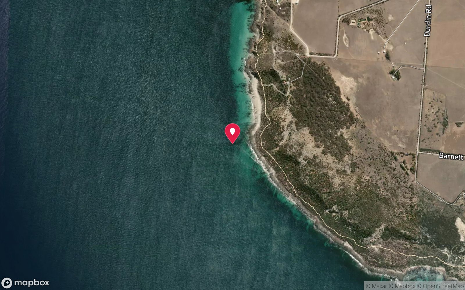
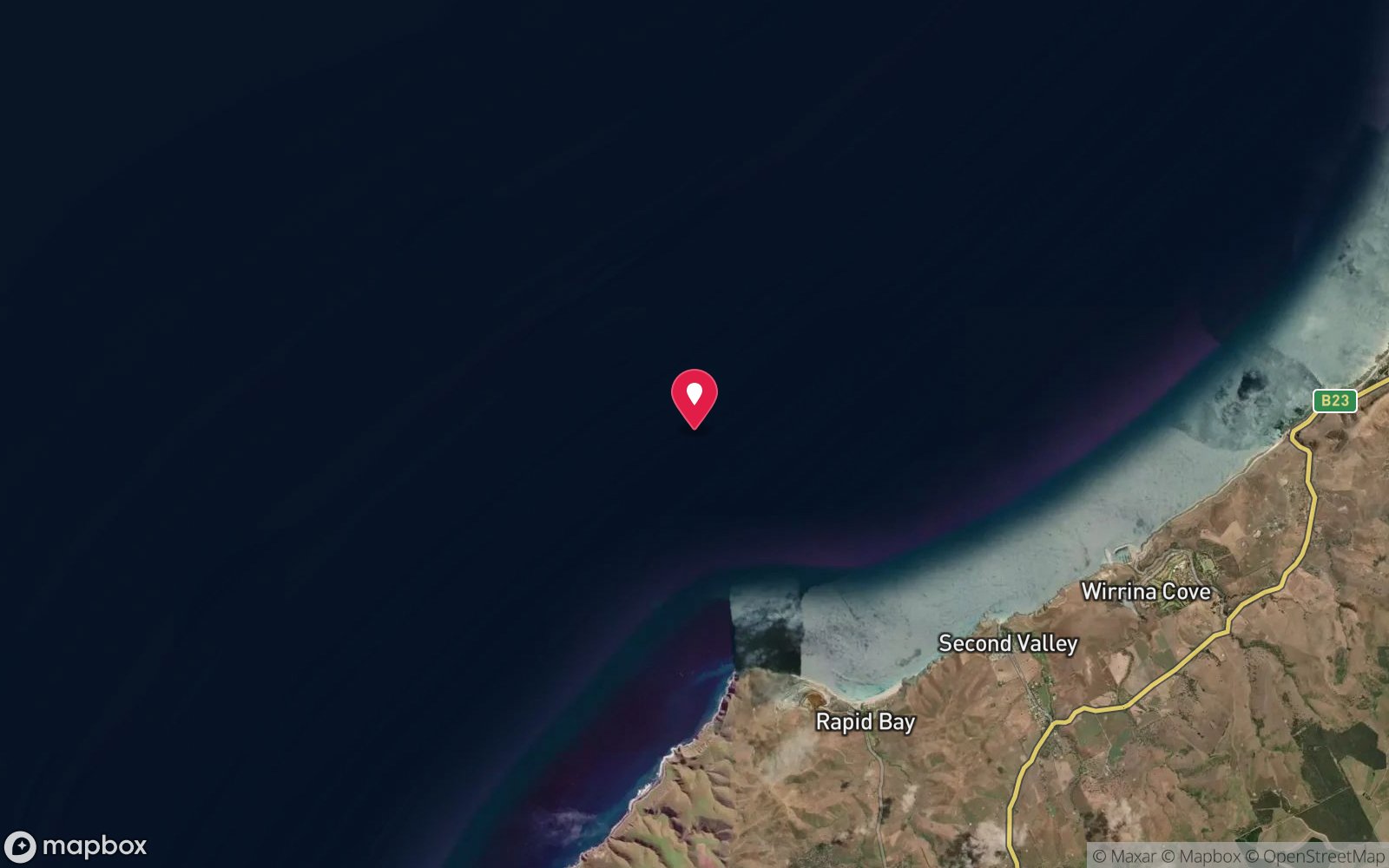
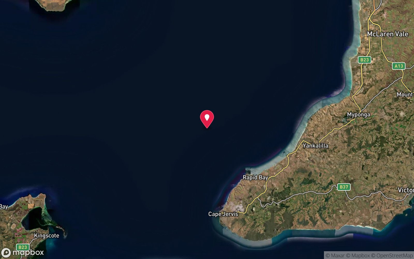
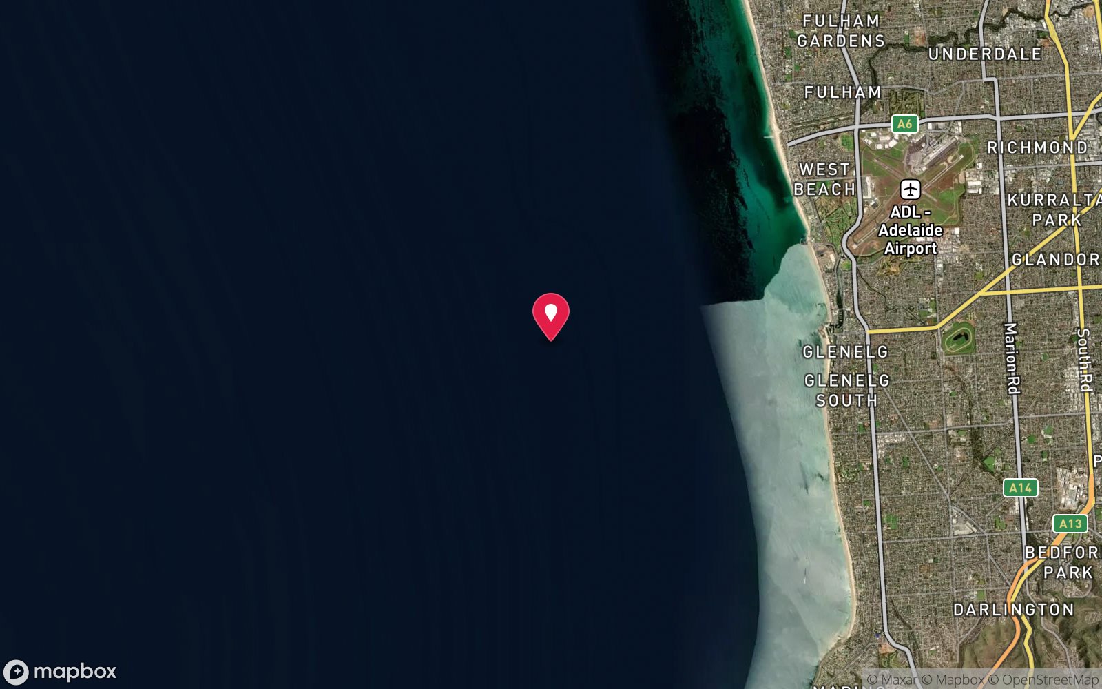
7 pinned sites. Pins marked approximate on their pages show the general area only; not for navigation.
Satellite views
Cape Jervis Barge (Hopper Barge No. 3): frequently asked questions
How deep is Cape Jervis Barge (Hopper Barge No. 3)?
Cape Jervis Barge (Hopper Barge No. 3) reaches a maximum depth of 7 m, with the shallowest part at about 4 m; most of the dive is spent around 6 m.
What certification do I need to dive Cape Jervis Barge (Hopper Barge No. 3)?
Open Water is the recommended minimum. Rated intermediate because of tidal current that must be timed, boat traffic overhead, cold water.
Can I shore dive Cape Jervis Barge (Hopper Barge No. 3)?
Experienced divers do dive Cape Jervis Barge (Hopper Barge No. 3) from the shore, but the entry or conditions make it unsuitable for newer divers without local guidance. Entry: Shore entry and swim, or small boat.
When is the best time to dive Cape Jervis Barge (Hopper Barge No. 3)?
Late summer to autumn (February-May) for the calmest mornings and best visibility; winter can be clear on easterly days.
What marine life will I see at Cape Jervis Barge (Hopper Barge No. 3)?
Regularly recorded: Old wives, sweep, magpie perch, wrasse, leatherjackets, algae, sponges (not documented in detail).
What wetsuit do I need at Cape Jervis Barge (Hopper Barge No. 3)?
7 mm wetsuit with hood year-round; drysuit popular in winter (June-September).
How cold is the water at Cape Jervis Barge (Hopper Barge No. 3)?
Typically 19-23 °C in summer and 12-14 °C in winter.
What are the main hazards at Cape Jervis Barge (Hopper Barge No. 3)?
Tidal currents near Backstairs Passage – dive slack water; ferry and boat traffic near the terminal – surface marker essential; exposed to westerly swell; protected historic shipwreck. See the hazards section above for the full list.
Where is the nearest recompression chamber to Cape Jervis Barge (Hopper Barge No. 3)?
Royal Adelaide Hospital Hyperbaric Medicine Unit (Adelaide CBD); DAN emergency hotline 1800 088 200. In an emergency call 000, then DAN Asia-Pacific on 1800 088 200.
Diving in Fleurieu Peninsula & Victor Harbor
The Fleurieu is where you go to see a leafy seadragon. Rapid Bay Jetty is the most reliable site anywhere, and Second Valley, the Bluff at Victor Harbor and Port Noarlunga are close behind. The ex-HMAS Hobart, a 133 m destroyer scuttled off Yankalilla in 2002, is the region's flagship boat dive, and the granite coves of Second Valley and Carrickalinga are easy shore dives.
Getting there: An hour or two south of Adelaide. Rapid Bay and Second Valley are walk-in shore dives; the Hobart is a charter from Wirrina Cove or Adelaide.
All Fleurieu Peninsula & Victor Harbor dive sites and a suggested itinerary →
Sources
- mlssa.org.au/2021/06/23/is-the-mystery-wreck-at-cape-jervis-hopper-barge-no-3
- marinelife.org.au/?page_id=130
- en.wikivoyage.org/wiki/Diving_in_South_Australia
Data confidence: Medium · Being verified: Position differs between sources (east of ramp toward Fishery Beach vs 1.3 miles south of the cape); identification as Hopper Barge No. 3 is probable, not certain.. Last updated September 2026. Know this site better? How to send a correction
Nearby dive sites
More wrecks in South Australia
Explore more