Dive slate · divesites.com.au · printed 8 Nov 2026
Loch Leven
King Island, Tasmania · near Currie
| Depth | 2–7 m |
|---|---|
| Minimum level | Open Water |
| Difficulty | Intermediate |
| Access | Shore |
| Entry | Shore entry through the surf line in good weather |
| Current | Mild |
| Visibility | 8-20 m |
| Water | summer 16-18 °C, winter 12-13 °C |
| Suit | 7 mm wetsuit with hood, gloves and boots (or semi-dry); drysuit common, especially May-October |
| Best season | January-April, after long calm spells or in easterly weather |
| Bottom time | 45 min |
| Position | -39.60000, 143.95500 (approximate) |
| Permit | No permit to dive. Wreck is protected under the Commonwealth Underwater Cultural Heritage Act 2018 and Tasmanian Historic Cultural Heritage Act (over 75 years old): do not disturb or remove anything. Tasmania currently has no declared shipwreck protected zones. |
| Nearest chamber | Royal Hobart Hospital Hyperbaric Medicine Unit (Hobart) via aeromedical retrieval; The Alfred (Melbourne) may be reached faster by air from King Island. DAN 1800 088 200 |
| Emergency | 000 · DAN Asia-Pacific diving emergency 1800 088 200 |
Loch Leven
Also known as Loch Leven wreck
Extensive flattened ironwork of an 1871 wool clipper, reachable from shore near Cape Wickham.
Near Currie · King Island, Tasmania
- Depth
- 2–7 m
- Minimum level
- Open Water
- Access
- Shore
- Boat ride
- —
- Water
- 16-18 °C
- Visibility
- 8-20 m
Loch Leven2–7 m · Open Water · Shore
Dive factsDepths, conditions, location & safety
Season
Off-peak nowBest months: January, February, March, April.
January-April, after long calm spells or in easterly weather
- Best months
- Now (November)
Dive facts
- Depth
- 2–7 m
- Typical depth
- 5 m
- Certification
- Open Water
- Difficulty
- Intermediate
- Depth tier
- Easy (0–10 m)
- Access
- Shore
- Dive centre needed
- No – independently diveable
- Shore / independent
- Possible (experienced only)
- Current
- Mild
- Visibility
- 8-20 m
- Water temp (summer)
- 16-18 °C
- Water temp (winter)
- 12-13 °C
- Water
- Cold Temperate
- Bottom time
- 45 min
- Dive traffic
- Rarely dived (private boat/club only)
- Night dive
- No
- Snorkel friendly
- No
Exposure suit
7 mm wetsuit with hood, gloves and boots (or semi-dry); drysuit common, especially May-October
Location
King Island - north (Cape Wickham) · Bass Strait Islands - King Island
-39.60000, 143.95500
Approximate position — not for navigation.
Open in Google MapsPrimary source: marinelife.org.auMarine park & permits
No permit to dive. Wreck is protected under the Commonwealth Underwater Cultural Heritage Act 2018 and Tasmanian Historic Cultural Heritage Act (over 75 years old): do not disturb or remove anything. Tasmania currently has no declared shipwreck protected zones.
Nearest recompression chamber
Royal Hobart Hospital Hyperbaric Medicine Unit (Hobart) via aeromedical retrieval; The Alfred (Melbourne) may be reached faster by air from King Island. DAN 1800 088 200
Diving emergency: call 000, then DAN AP 1800 088 200.
Trip planner
Build a trip around Loch Leven →
A day-by-day plan for King Island with this site locked in.
This guide is a planning aid. Conditions change daily — confirm with a local dive centre and dive within your training. Data & safety notes.
Dive profile
How this site rates
Scores are computed from the recorded data, not opinions. How?
At a glance
Loch Leven is a wreck shore dive for experienced divers in King Island, TAS, 2–7 m, suited to Open Water divers.
Rated intermediate because of surge on the entry or in the shallows, cold water.
Why dive here
- Extensive flattened ironwork of an 1871 wool clipper, reachable from shore near Cape Wickham.
- Sunk in 1871 (Iron ship (Black Ball Line), about 1439 tons); protected as underwater cultural heritage, so look but do not touch.
- Rarely dived: expect to have the site to yourself, and plan your own logistics.
- Visibility often reaches 8-20 m.
About Loch Leven
The Loch Leven was a Black Ball Line iron ship of about 1439 tons, wrecked on Harbinger Reef near Cape Wickham on 24 October 1871 with a cargo of wool from Geelong - the first wool ship out of Geelong that season. The Marine Life Network guide records that heavy fog obscured the land; all the crew escaped, but the captain drowned while trying to recover the ship's mails, and his grave is near the Cape Wickham lighthouse.
The guide rates the wreck 6 out of 10 and a relatively easy shore dive in good weather. She is broken roughly in two and lies parallel to the coast about 50 m from shore, beyond the surf line, in 2-7 m. The flattened ironwork is extensive and impressive, the stern is buried under shifting sand, and most of the wreck is normally exposed; the ship's beams are clearly visible. Large schools of fish gather over the well-lit, photogenic site, although many artefacts have long since been removed.
King Island has more recorded shipwrecks than anywhere else in Australia - King Island Tourism puts the figure at over sixty - because ships running for Bass Strait on the 'clipper route' from Europe had to thread the gap between the island and Cape Otway, often in fog and gales with uncertain navigation. Most wrecks lie in shallow water on exposed reefs and have been broken up by more than a century of westerly swell, so diving them is about history and scattered remains rather than intact hulls.
All wrecks over 75 years old are protected under Commonwealth and Tasmanian heritage law: look but do not touch, and report any new finds to the Parks and Wildlife Service maritime archaeologist. With no chamber on the island, a diving injury means aeromedical evacuation to Melbourne or Hobart, so dive conservatively and carry oxygen.
Wreck details
Iron ship (Black Ball Line), about 1439 tons · Sunk 1871 · Protected historic shipwreck
Era: colonial sail and steam. Oldest wrecks · Wartime wrecks · Scuttled warships
Other wrecks of the same era
- British Admiral · Depth not published · King Island
- Blencathra (Currie) · Max 5 m · King Island
- Cambridgeshire (Night Island) · Max 12 m · Flinders Island & Furneaux Group
- Netherby · Max 5 m · King Island
- Fosters Island · Max 6 m · Tasmania North-East
- Gaudelette (Cape Barren Island) · Max 8 m · Flinders Island & Furneaux Group
Getting there & entry
Black Ball Line iron ship Loch Leven (1871) on Harbinger Reef about 2 km south-east of Cape Wickham, lying parallel to the coast 50 m offshore beyond the surf.
King Island is reached by air from Melbourne (about 50 minutes), Burnie/Wynyard or Launceston; there is no passenger ferry, so divers fly in and hire a vehicle at the airport near Currie. Currie, the main town, is on the west coast; Grassy (with its harbour and boat ramp) is on the south-east coast about 30 minutes' drive away. Roads to the coast are a mix of sealed and gravel.
Drive north from Currie to Cape Wickham (about 40 minutes, partly gravel), home of Australia's tallest lighthouse; the Loch Leven lies about 2 km south-east of the cape. The captain's grave is near the lighthouse. The Marine Life Network guide describes it as a relatively easy shore dive in good weather only - enter beyond the surf line and swim 50 m out.
Entry: Shore entry through the surf line in good weather
Facilities: Currie: supermarket, cafes, fuel, accommodation, King Island Historical Museum (lighthouse keeper's cottage), hospital (no chamber). Grassy: harbour and boat ramp. No confirmed public air-fill station - arrange locally.
Weather, swell & tides
King Island sits in the path of the Roaring Forties, and its west coast (Currie, Netherby, Cataraqui, Brahmin) takes the full force of the prevailing westerly and south-westerly swell; these sites are diveable only after long calm periods or in easterly weather, which is most common in late summer. The east coast around Grassy is sheltered in westerlies and becomes the fallback. Strong tidal streams run around the island's capes after gales.
The northern tip is exposed to westerly and northerly swell; a surf-free day is essential for the shore entry.
Best season: January-April, after long calm spells or in easterly weather
If it's blown out
Sheltered or shore sites within 25 km that often work when Loch Leven doesn't.
- Brahmin (King Island) · 13 km · Max 7 m
How the dive is usually run
Enter through a gap in the surf, swim out 50 m to the wreck and follow the flattened ironwork along its length, noting the two halves; return to shore before tiring. Turn at a third of gas to allow for the swim back and a possibly harder exit, finish with a 3-minute safety stop at about 5 m if the depth allows, and exit where you entered unless an alternative exit has been checked beforehand.
Marine life
- Large schools of reef fish
- wrasse
- leatherjackets
- bull kelp
- crayfish
Linked species have their own page listing every site where they are recorded. All marine life →
Training required
Shallow enough for snorkellers and for a first dive under supervision. Any certified diver can dive it.
Courses that help here
- Drysuit Diver – Cold water; locals dive dry for much of the year.
Depth tiers: 0–10 m easy · to 18 m Open Water · 18–30 m Advanced (25 m+ is a deep dive) · 30–40 m Deep specialty · 40 m+ technical. All courses
Hazards & warnings
Surf entry - only on calm days; surge over the wreck; sharp ironwork; remote northern tip.
Dive centres that go here
No dive shop or charter currently listed on King Island (Underwater Australasia has no listings); the King Island Dive Charters/Dive Centre referred to in older guides no longer appears to trade. Visitors must bring their own gear and arrange cylinders and a boat locally (hire weights/tanks on the island where possible to reduce air freight). Verify any current operator before travelling.
All dive centres in Tasmania →
Operators mentioned: None on King Island (verify); nearest full services in Melbourne, Launceston or Burnie/Wynyard
Map
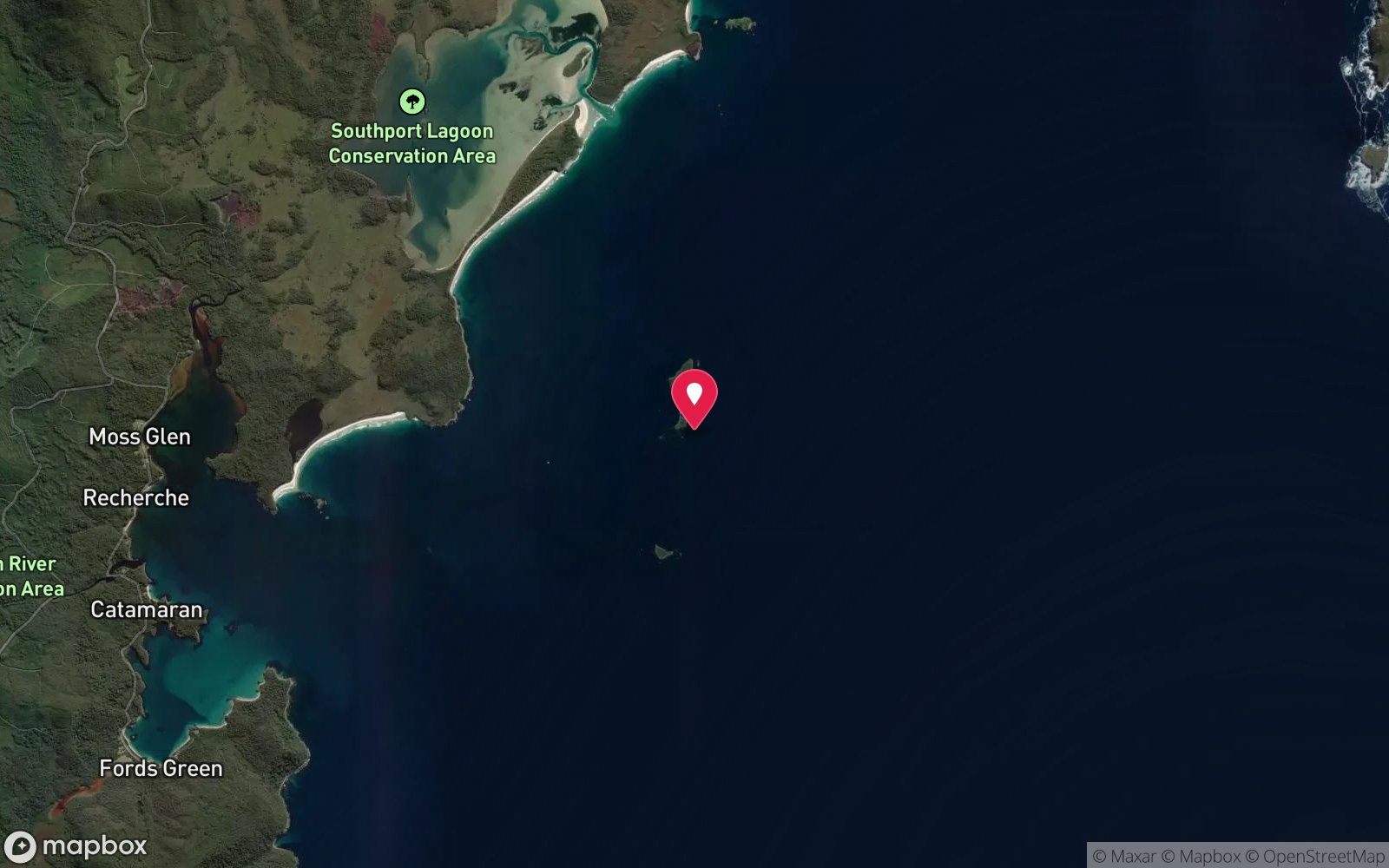
7 pinned sites. Pins marked approximate on their pages show the general area only; not for navigation.
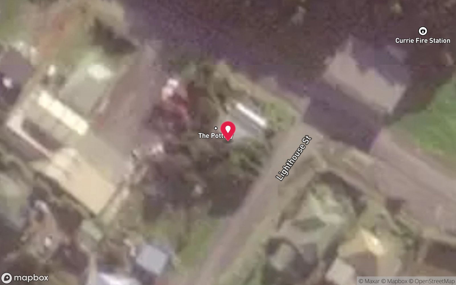
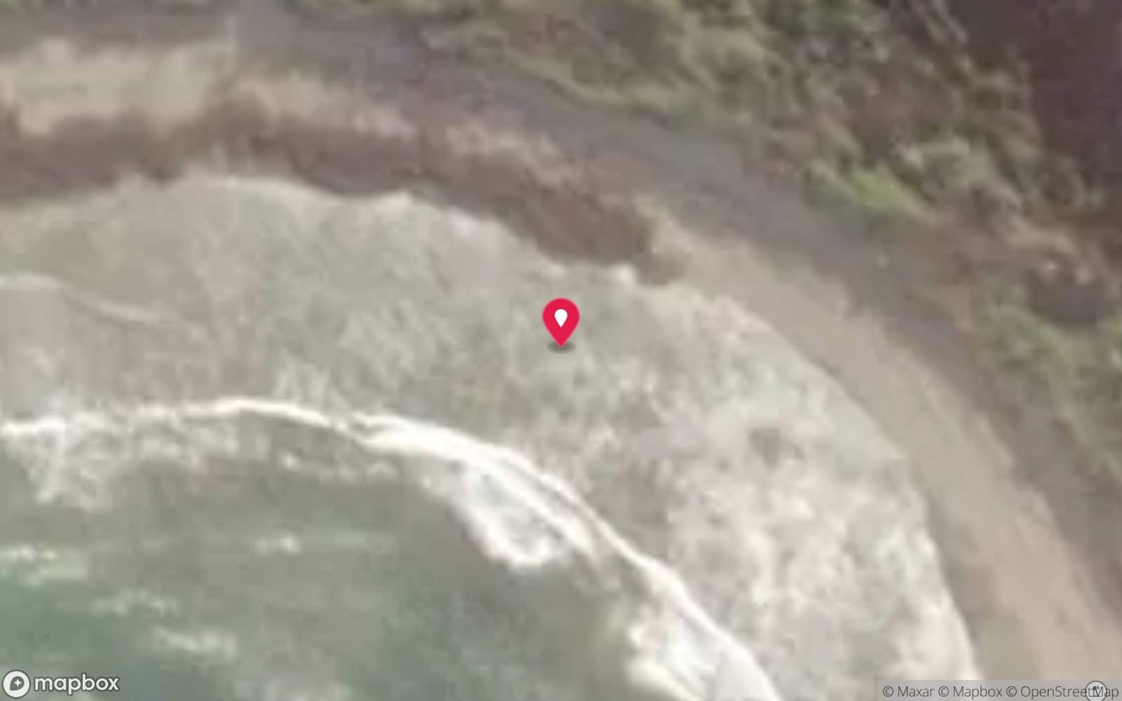
Satellite views
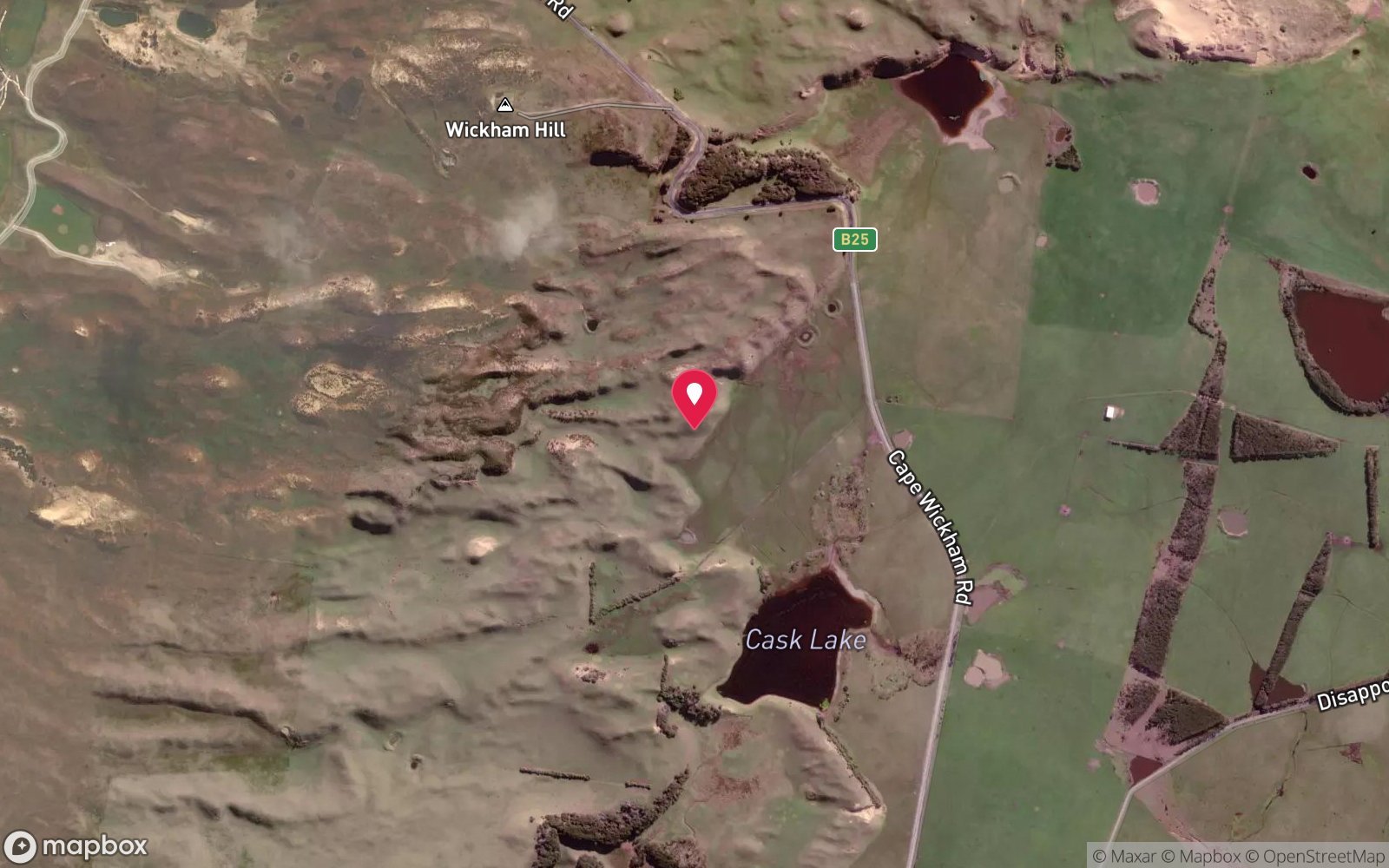
Loch Leven: frequently asked questions
How deep is Loch Leven?
Loch Leven reaches a maximum depth of 7 m, with the shallowest part at about 2 m; most of the dive is spent around 5 m.
What certification do I need to dive Loch Leven?
Open Water is the recommended minimum. Rated intermediate because of surge on the entry or in the shallows, cold water.
Can I shore dive Loch Leven?
Experienced divers do dive Loch Leven from the shore, but the entry or conditions make it unsuitable for newer divers without local guidance. Entry: Shore entry through the surf line in good weather.
When is the best time to dive Loch Leven?
January-April, after long calm spells or in easterly weather.
What marine life will I see at Loch Leven?
Regularly recorded: Large schools of reef fish, wrasse, leatherjackets, bull kelp, crayfish.
What wetsuit do I need at Loch Leven?
7 mm wetsuit with hood, gloves and boots (or semi-dry); drysuit common, especially May-October.
How cold is the water at Loch Leven?
Typically 16-18 °C in summer and 12-13 °C in winter.
What are the main hazards at Loch Leven?
Surf entry - only on calm days; surge over the wreck; sharp ironwork; remote northern tip. See the hazards section above for the full list.
Where is the nearest recompression chamber to Loch Leven?
Royal Hobart Hospital Hyperbaric Medicine Unit (Hobart) via aeromedical retrieval; The Alfred (Melbourne) may be reached faster by air from King Island. DAN 1800 088 200. In an emergency call 000, then DAN Asia-Pacific on 1800 088 200.
Diving in King Island
King Island's reefs and its more than 60 recorded shipwrecks, including the Cataraqui (Australia's worst civilian maritime disaster) and the Loch Leven, sit in the path of the Roaring Forties, so diving is limited to calm easterly spells in summer. The reward is untouched kelp reef, crayfish and history.
Getting there: Fly from Melbourne or Launceston. No dive services on the island; private or club trips only.
Sources
Data confidence: Medium · Being verified: Coordinates approximate.. Last updated September 2026. Know this site better? How to send a correction