Dive slate · divesites.com.au · printed 8 Nov 2026
Lost Lake East
Christmas Island, External Territories · near Flying Fish Cove (The Settlement)
| Depth | 5–30 m |
|---|---|
| Minimum level | Advanced Open Water |
| Difficulty | Intermediate |
| Access | Boat |
| Entry | Giant stride or back roll from dive boat |
| Current | Mild |
| Visibility | 25-40 m |
| Water | summer 28-29 °C, winter 26-27 °C |
| Suit | 3 mm full wetsuit (many dive in a 3 mm shorty or rash vest); 5 mm for multiple long dives or cave dives |
| Best season | April–November (south-east trade season – north coast calm); whale sharks most likely November–April, especially after red crab spawning (often Nov–Dec); avoid peak swell Feb–Apr |
| Bottom time | 45 min |
| Position | -10.46000, 105.61700 (approximate) |
| Permit | Christmas Island Marine Park (Australian Marine Parks, proclaimed March 2022): inshore waters are Habitat Protection Zone (yellow) – diving, snorkelling and recreational fishing allowed, no seabed-disturbing activities; the no-take National Park Zone starts about 12 nautical miles offshore. Christmas Island National Park also extends 50 m seaward of low-water mark along about 46 km of coast. No permit required for recreational diving; do not collect or disturb marine life. |
| Nearest chamber | Fiona Stanley Hospital (Perth) – approx. 2,600 km away; there is no recompression chamber on Christmas Island. Stabilisation at Christmas Island Hospital, then aeromedical evacuation to Perth (many hours) |
| Emergency | 000 · DAN Asia-Pacific diving emergency 1800 088 200 |
Lost Lake East
Typical north-coast reef and wall with dense fish life, next to the Lost Lake caves.
Near Flying Fish Cove (The Settlement) · Christmas Island, External Territories
- Depth
- 5–30 m
- Minimum level
- Advanced Open Water
- Access
- Boat
- Boat ride
- ~18 min
- Water
- 28-29 °C
- Visibility
- 25-40 m
Lost Lake East5–30 m · Advanced Open Water
Dive factsDepths, conditions, location & safety
Season
In season nowBest months: year-round.
April–November (south-east trade season – north coast calm); whale sharks most likely November–April, especially after red crab spawning (often Nov–Dec); avoid peak swell Feb–Apr
- Best months
- Now (November)
- Stinger suit Nov–May
Dive facts
- Depth
- 5–30 m
- Typical depth
- 18 m
- Certification
- Advanced Open Water
- Difficulty
- Intermediate
- Depth tier
- Advanced Open Water (18–30 m)
- Access
- Boat
- Offshore
- 0.05 km
- Dive centre needed
- Yes – boat access only
- Shore / independent
- No
- Boat ride
- ~18 min
- Current
- Mild
- Visibility
- 25-40 m
- Water temp (summer)
- 28-29 °C
- Water temp (winter)
- 26-27 °C
- Water
- Tropical
- Bottom time
- 45 min
- Dive traffic
- Moderate (occasional charters/club dives)
- Night dive
- Possible
- Snorkel friendly
- No
Exposure suit
3 mm full wetsuit (many dive in a 3 mm shorty or rash vest); 5 mm for multiple long dives or cave dives
Location
North coast – Lost Lake / Thundercliff · Christmas Island (Indian Ocean)
-10.46000, 105.61700
Approximate position — not for navigation.
Open in Google MapsPrimary source: diveplanit.comMarine park & permits
Christmas Island Marine Park (Australian Marine Parks, proclaimed March 2022): inshore waters are Habitat Protection Zone (yellow) – diving, snorkelling and recreational fishing allowed, no seabed-disturbing activities; the no-take National Park Zone starts about 12 nautical miles offshore. Christmas Island National Park also extends 50 m seaward of low-water mark along about 46 km of coast. No permit required for recreational diving; do not collect or disturb marine life.
Nearest recompression chamber
Fiona Stanley Hospital (Perth) – approx. 2,600 km away; there is no recompression chamber on Christmas Island. Stabilisation at Christmas Island Hospital, then aeromedical evacuation to Perth (many hours)
Diving emergency: call 000, then DAN AP 1800 088 200.
Trip planner
Build a trip around Lost Lake East →
A day-by-day plan for Christmas Island with this site locked in.
This guide is a planning aid. Conditions change daily — confirm with a local dive centre and dive within your training. Data & safety notes.
Dive profile
How this site rates
Scores are computed from the recorded data, not opinions. How?
At a glance
Lost Lake East is a wall boat dive in Christmas Island, Australia's external territories, 5–30 m, suited to Advanced Open Water divers, about 18 minutes by boat.
Rated intermediate because of depth beyond 18 m, boat traffic overhead.
Why dive here
- Typical north-coast reef and wall with dense fish life, next to the Lost Lake caves.
- Visibility often reaches 25-40 m.
Conditions to avoid
- Swell above about 1.5 m
- Strong southerly or south-east swell and wind
- Strong westerlies
- Strong northerlies
- Outgoing tide or run-off after rain (poor visibility)
About Lost Lake East
Lost Lake East is a reef and wall dive on the stretch of north coast that locals call 'the dog's back', close to the Lost Lake cave system. It is one of the sites described in Diveplanit's series of Christmas Island dive reports, written after diving with Wet'n'Dry Adventures – whose founder, Hama, the author jokes, names sites on the spur of the moment before briefing them on the whiteboard.
The profile runs from a reef top at about 5 m, through a median depth of around 18 m, to 30 m on the wall. It is a consistent example of the island's north-coast drop-offs, with a band of healthy coral in the shallows and a steep face below. Bubble coral, plate and branching hard corals and sponges cover the reef, and the fish life is dense: peacock rockcod and honeycomb rockcod, black-spotted puffers (including the yellow colour form), schools of fusiliers along the wall, butterflyfish, angelfish and triggerfish. Crown-of-thorns starfish were recorded here – a reminder that even remote reefs have them in small numbers. Larger animals appear occasionally, including reef sharks, turtles and, in the wet season, whale sharks.
With no caves to worry about, Lost Lake East is a straightforward wall dive that suits intermediate divers. It is a useful alternative when the swell is too high for the cave entrances nearby but the coast is otherwise diveable, and it is a good place to look for pufferfish and rockcod for photography. As with most north-coast sites it is reliably calm during the south-east trade season.
Getting there & entry
Reef and wall on the north coast ('the dog's back') just east of the Lost Lake cave area.
Fly from Perth (about 4 hours, two to three flights a week, some via Cocos Islands) and hire a car – there is no public transport. Both dive centres are in The Settlement and launch their boats from the jetty/boat ramp at Flying Fish Cove, normally at about 8 am for a two-dive morning trip. From the cove the boat runs west past Smith Point and south-west along the north coast (the 'dog's back') along the coast for roughly about 18–20 minutes to the site.
There is no land access to the dive, and the vertical sea cliffs mean no exit other than the boat. Operators choose sites on the morning according to swell and wind.
Entry: Giant stride or back roll from dive boat
Facilities: Departs Flying Fish Cove jetty/ramp.
Weather, swell & tides
On the north coast, which is in the lee of the south-east trade winds from roughly April/May to November – that is the calm, reliable season here with glassy seas and 30 m+ visibility. From about December to March/April the north-west monsoon brings northerly and north-westerly swell (and occasional cyclone-generated swell) that can make the north coast undiveable and the Flying Fish Cove ramp unusable for days; Extra Divers treat February–April as peak swell season when trips are often cancelled. Any swell over about 1.5 m from the north-west quarter usually cancels the site.
Visibility dips after heavy rain run-off from the plateau and during red crab spawning (Oct–Jan) when plankton blooms. Tides are small (about 1 m) and rarely matter, but currents along the coast can pick up without warning.
Best season: April–November (south-east trade season – north coast calm); whale sharks most likely November–April, especially after red crab spawning (often Nov–Dec); avoid peak swell Feb–Apr
If it's blown out
Sheltered or shore sites within 25 km that often work when Lost Lake East doesn't.
- Flying Fish Cove · 7 km · Max 25 m
- The Sandpatch · 7 km · Max 18 m
- Admin Wall · 7 km · Max 30 m
- Pirate Cove · 7 km · Max 15 m
How the dive is usually run
Descend to the lip of the wall, drop to around 18–25 m and follow the wall, then ascend onto the reef slope and work back at 10 m before a safety stop on the 5 m reef top.
Marine life
- Peacock rockcod
- honeycomb rockcod
- black-spotted puffer (including yellow form)
- fusiliers
- butterflyfish
- angelfish
- triggerfish
- bubble coral
- crown-of-thorns starfish
- reef sharks →
- turtles →
- whale sharks (seasonal) →
Linked species have their own page listing every site where they are recorded. All marine life →
Training required
Beyond 18 m an Advanced certification (which includes a deep dive to 30 m) is the accepted minimum. Anything past 25 m is a deep dive in practice.
At more than 25 m this counts as a deep dive: watch no-decompression limits and gas.
Courses that help here
- Enriched Air Nitrox – Longer no-decompression time at 25 m and deeper.
Depth tiers: 0–10 m easy · to 18 m Open Water · 18–30 m Advanced (25 m+ is a deep dive) · 30–40 m Deep specialty · 40 m+ technical. All courses
Hazards & warnings
Wall to 30 m+ – watch depth; currents; boat traffic; no shore exit.
Dive centres that go here
CI Wet'n'Dry Adventures – regular site (Diveplanit trip report); Extra Divers Christmas Island – dives the Lost Lake area.
Operators recorded for Lost Lake East
Extra Divers Christmas Island
ListedFlying Fish Cove · Christmas Island · WA
The main dive operation on Christmas Island, servicing the island's wall and drop-off diving.
extradivers-worldwide.com/en/extra-divers-christmas-island
CI Wet'n'Dry Adventures
Named by sitesChristmas Island · Christmas Island · External Territory
Trades as Christmas Island Wet'n'Dry Adventures / Dive Christmas Island; family business since 1994.
divingchristmas.com · 0439 215 290
Other dive centres in Christmas Island
Map
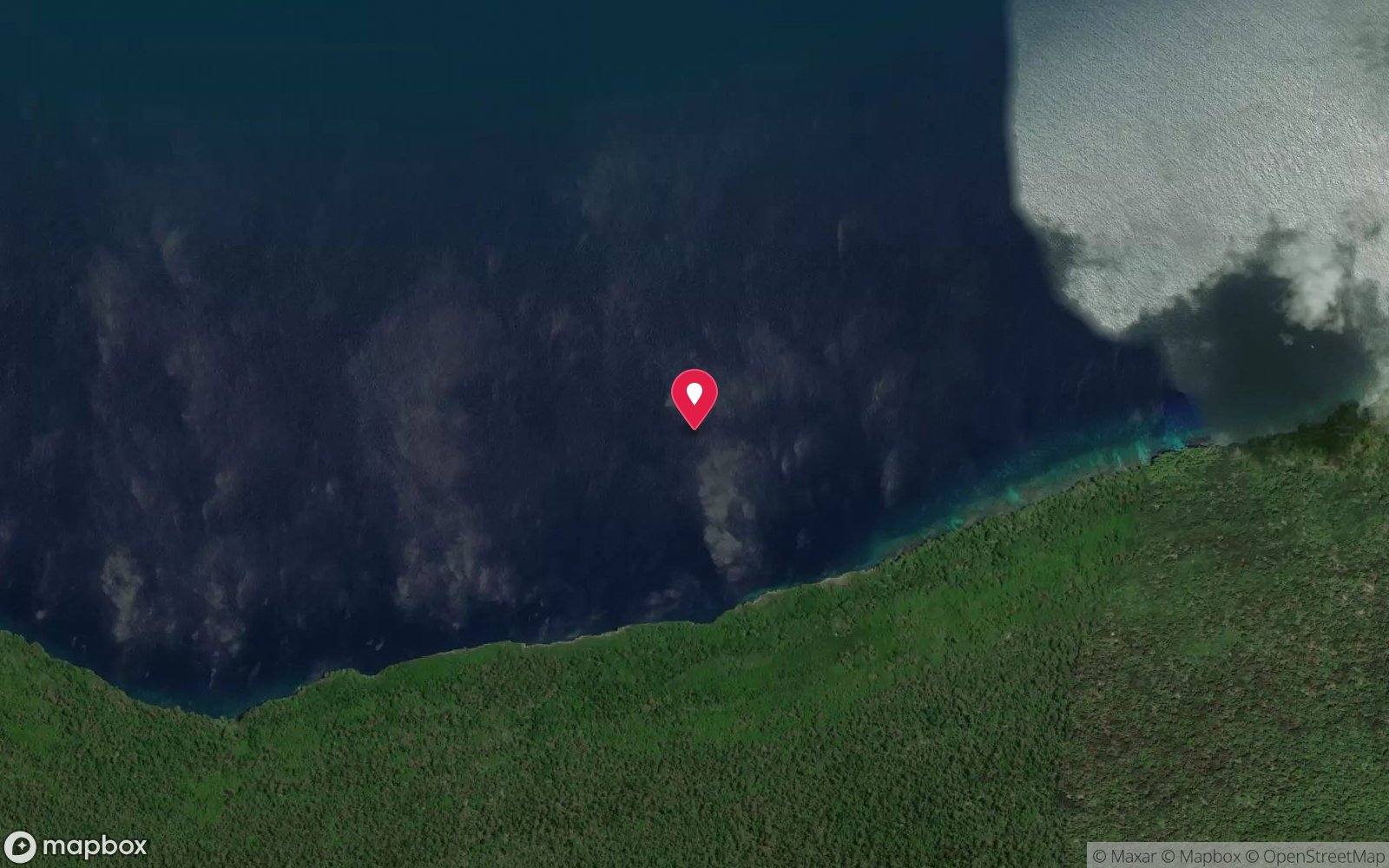
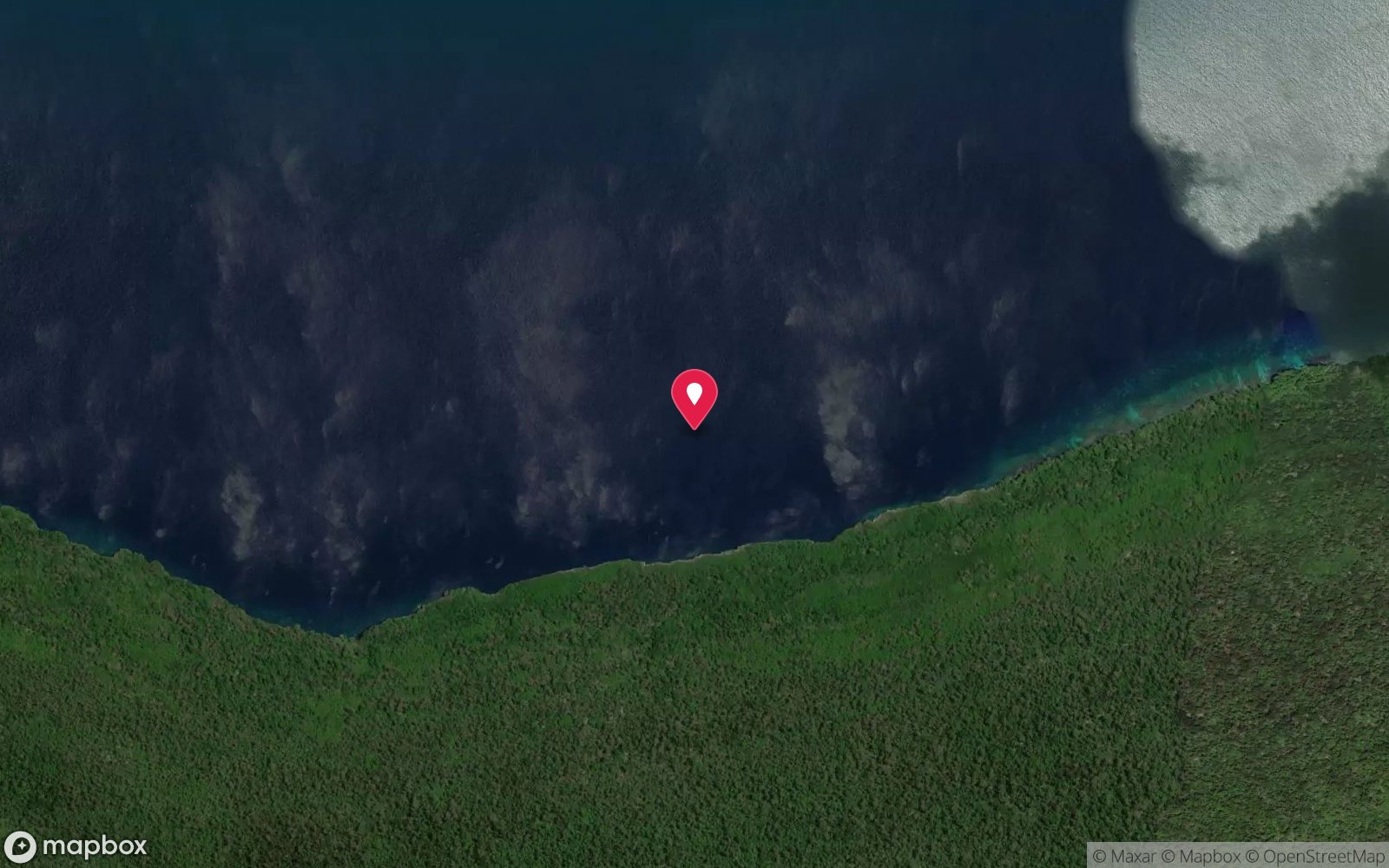
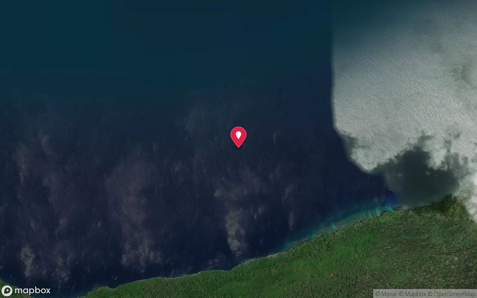
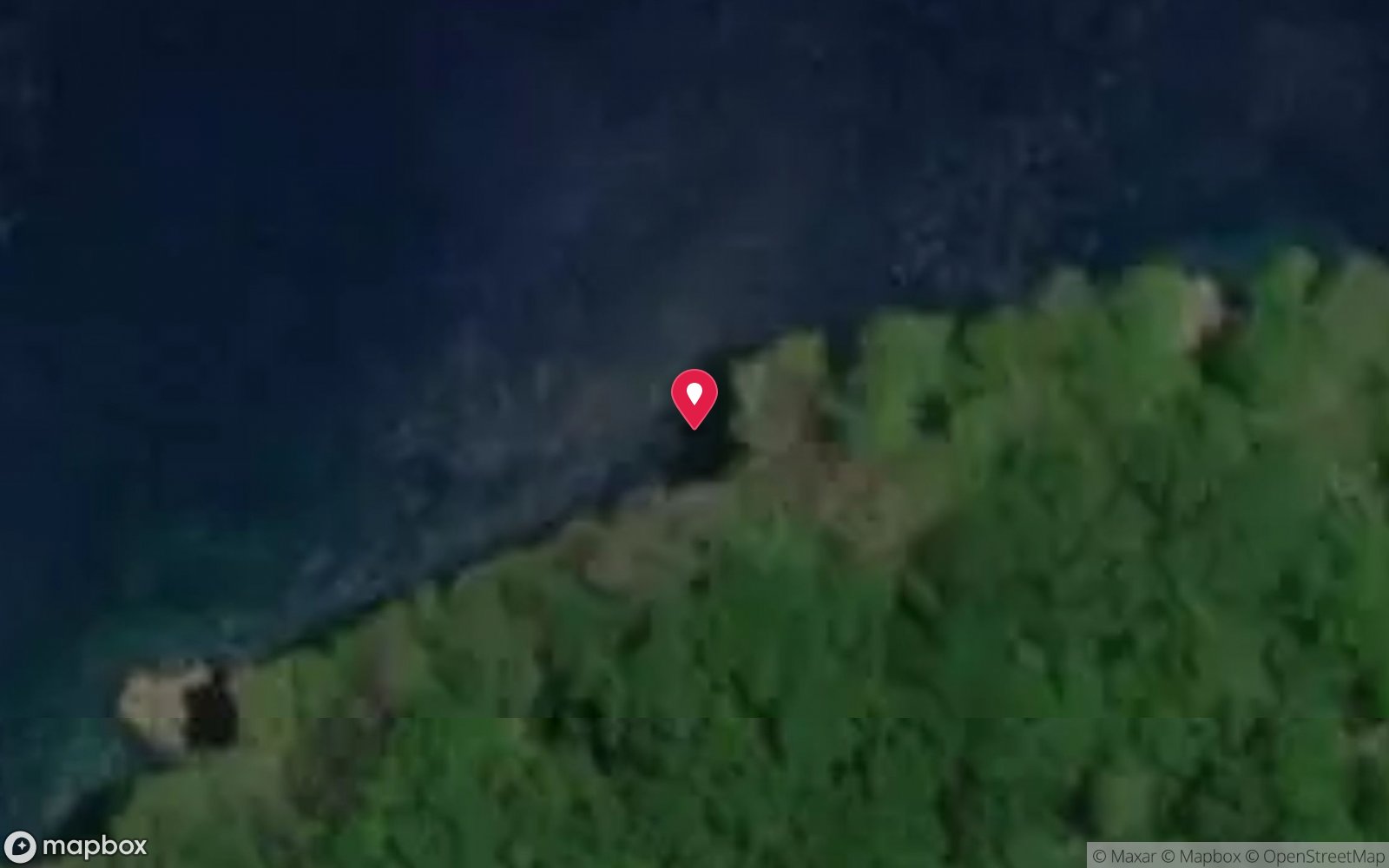
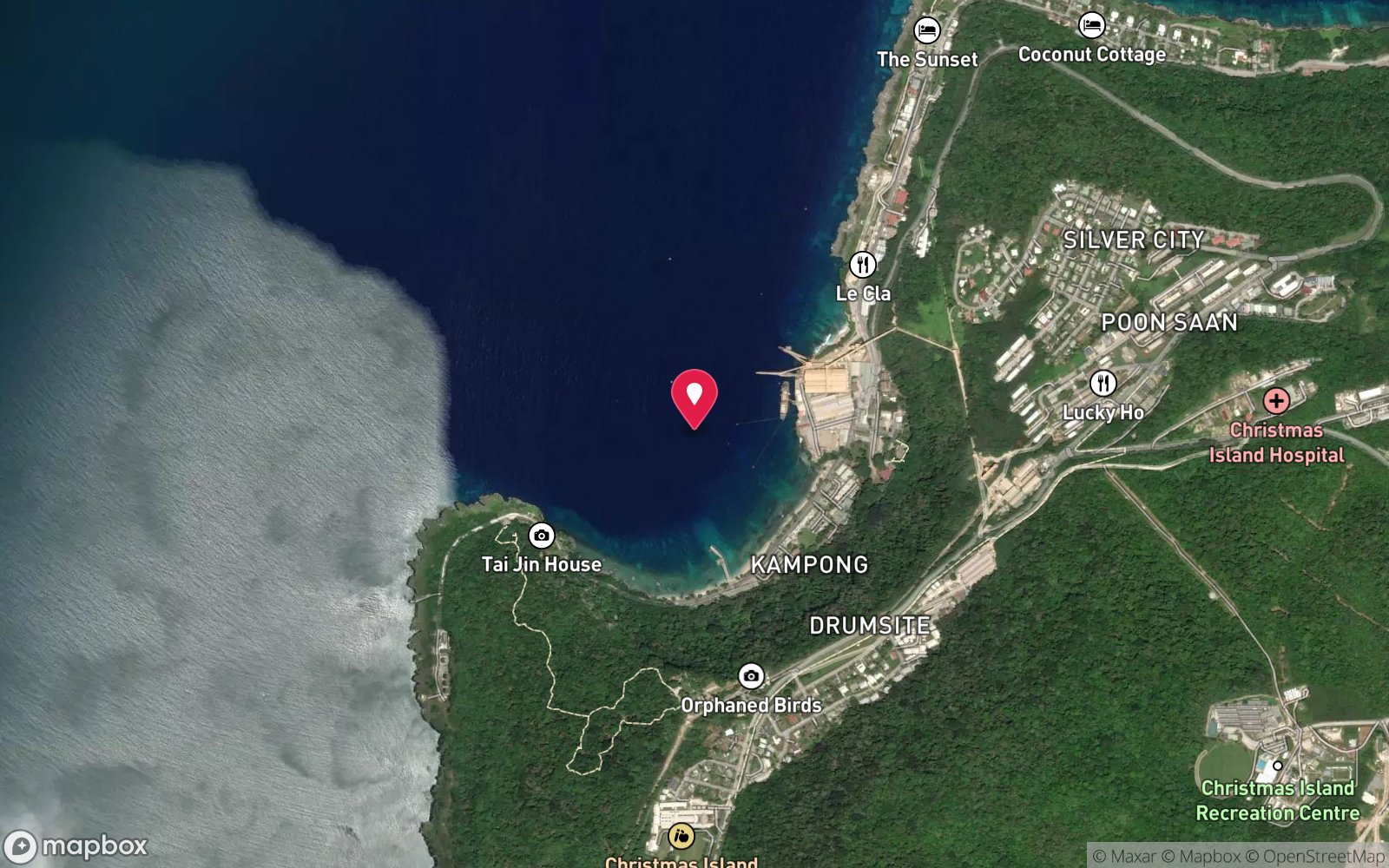
7 pinned sites. Pins marked approximate on their pages show the general area only; not for navigation.
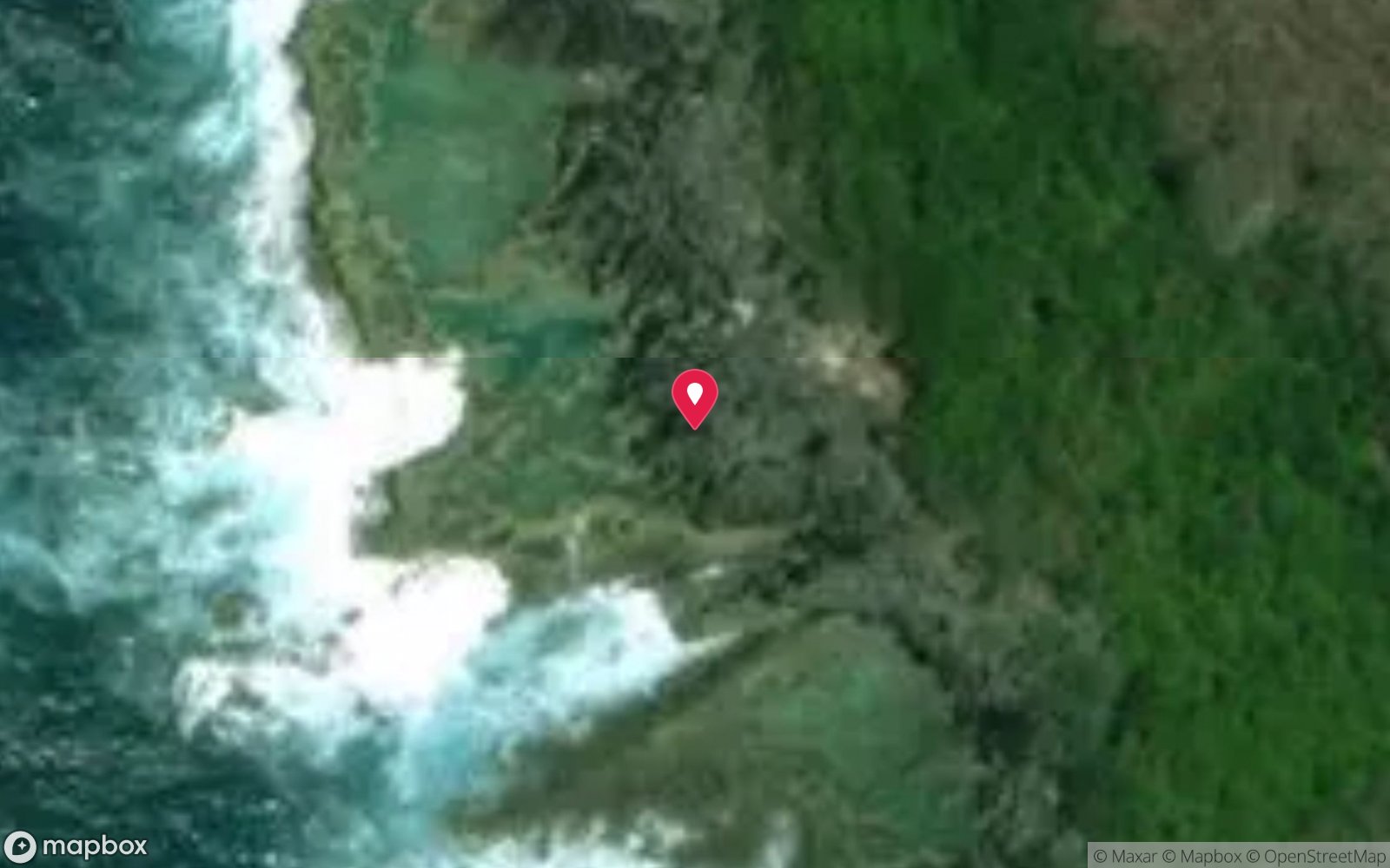
Satellite views
Lost Lake East: frequently asked questions
How deep is Lost Lake East?
Lost Lake East reaches a maximum depth of 30 m, with the shallowest part at about 5 m; most of the dive is spent around 18 m.
What certification do I need to dive Lost Lake East?
Advanced Open Water is the recommended minimum. At more than 25 m this counts as a deep dive: watch no-decompression limits and gas. Rated intermediate because of depth beyond 18 m, boat traffic overhead.
Can I shore dive Lost Lake East?
No, it is reached by boat (about 18 minutes). A dive centre is required: boat access only.
When is the best time to dive Lost Lake East?
April–November (south-east trade season – north coast calm); whale sharks most likely November–April, especially after red crab spawning (often Nov–Dec); avoid peak swell Feb–Apr.
What marine life will I see at Lost Lake East?
Regularly recorded: Peacock rockcod, honeycomb rockcod, black-spotted puffer (including yellow form), fusiliers, butterflyfish, angelfish, triggerfish, bubble coral, crown-of-thorns starfish, reef sharks, turtles, whale sharks (seasonal).
What wetsuit do I need at Lost Lake East?
3 mm full wetsuit (many dive in a 3 mm shorty or rash vest); 5 mm for multiple long dives or cave dives.
How cold is the water at Lost Lake East?
Typically 28-29 °C in summer and 26-27 °C in winter.
What are the main hazards at Lost Lake East?
Wall to 30 m+ – watch depth; currents; boat traffic; no shore exit. See the hazards section above for the full list.
Where is the nearest recompression chamber to Lost Lake East?
Fiona Stanley Hospital (Perth) – approx. 2,600 km away; there is no recompression chamber on Christmas Island. Stabilisation at Christmas Island Hospital, then aeromedical evacuation to Perth (many hours). In an emergency call 000, then DAN Asia-Pacific on 1800 088 200.
Diving in Christmas Island
Christmas Island is the top of a volcanic seamount, so the fringing reef gives way to a wall within 20–50 m of the shore and keeps falling to 500 m. The diving is drift and wall diving in exceptional visibility, with sea caves such as Thundercliff, the endemic dragon moray, grey reef and silvertip sharks, spinner dolphins and, from November to January, whale sharks that arrive to feed on red crab spawn.
Getting there: Fly from Perth (about four hours) with a single dive operator based at Flying Fish Cove. Shore entries are possible at Flying Fish Cove and a few north-coast sites when the sea is flat.
Sources
- diveplanit.com/dive-site/lost-lake-east
- diveplanit.com/australia/christmas-island
- diveplanit.com/australia/christmas-island/wet-n-dry-adventures
Data confidence: Medium · Being verified: Coordinates approximate.. Last updated September 2026. Know this site better? How to send a correction
Nearby dive sites
More wall dives in External Territories
Explore more
This region
Marine life