Dive slate · divesites.com.au · printed 9 Nov 2026
Merrial Beach
Christmas Island, External Territories · near Flying Fish Cove (The Settlement)
| Depth | 2–20 m |
|---|---|
| Minimum level | Advanced Open Water |
| Difficulty | Intermediate |
| Access | Boat |
| Entry | Back roll from the boat; beach reachable on foot only at low tide via a rough 4WD-accessed track |
| Current | Variable/Tidal |
| Visibility | 25-40 m |
| Water | summer 28-29 °C, winter 26-27 °C |
| Suit | 3 mm full wetsuit (many dive in a 3 mm shorty or rash vest); 5 mm for multiple long dives or cave dives |
| Best season | August–November on calm, low-swell days; whale sharks Nov–Apr; avoid NW monsoon swell Dec–Apr |
| Bottom time | 50 min |
| Position | -10.48700, 105.55000 (approximate) |
| Permit | Christmas Island Marine Park (Australian Marine Parks, proclaimed March 2022): inshore waters are Habitat Protection Zone (yellow) – diving, snorkelling and recreational fishing allowed, no seabed-disturbing activities; the no-take National Park Zone starts about 12 nautical miles offshore. Christmas Island National Park also extends 50 m seaward of low-water mark along about 46 km of coast. No permit required for recreational diving; do not collect or disturb marine life. This site's shoreline lies within Christmas Island National Park. |
| Nearest chamber | Fiona Stanley Hospital (Perth) – approx. 2,600 km away; there is no recompression chamber on Christmas Island. Stabilisation at Christmas Island Hospital, then aeromedical evacuation to Perth (many hours) |
| Emergency | 000 · DAN Asia-Pacific diving emergency 1800 088 200 |
Merrial Beach
Also known as Merrial
The island's smallest and one of its prettiest beaches, with grotto-like overhangs and a pristine west-coast fringing reef.
Near Flying Fish Cove (The Settlement) · Christmas Island, External Territories
- Depth
- 2–20 m
- Minimum level
- Advanced Open Water
- Access
- Boat
- Boat ride
- ~45 min
- Water
- 28-29 °C
- Visibility
- 25-40 m
Merrial Beach2–20 m · Advanced Open Water
Dive factsDepths, conditions, location & safety
Season
In season nowBest months: January, February, March, April, August, September, October, November, December.
August–November on calm, low-swell days; whale sharks Nov–Apr; avoid NW monsoon swell Dec–Apr
- Best months
- Now (November)
- Stinger suit Nov–May
Dive facts
- Depth
- 2–20 m
- Typical depth
- 10 m
- Certification
- Advanced Open Water
- Difficulty
- Intermediate
- Depth tier
- Advanced Open Water (18–30 m)
- Access
- Boat
- Offshore
- 0.1 km
- Dive centre needed
- Yes – boat access only
- Shore / independent
- No
- Boat ride
- ~45 min
- Current
- Variable/Tidal
- Visibility
- 25-40 m
- Water temp (summer)
- 28-29 °C
- Water temp (winter)
- 26-27 °C
- Water
- Tropical
- Bottom time
- 50 min
- Dive traffic
- Rarely dived (private boat/club only)
- Night dive
- No
- Snorkel friendly
- Partial
Exposure suit
3 mm full wetsuit (many dive in a 3 mm shorty or rash vest); 5 mm for multiple long dives or cave dives
Location
West coast – The Dales · Christmas Island (Indian Ocean)
-10.48700, 105.55000
Approximate position — not for navigation.
Open in Google MapsPrimary source: christmasislandnationalpark.gov.auMarine park & permits
Christmas Island Marine Park (Australian Marine Parks, proclaimed March 2022): inshore waters are Habitat Protection Zone (yellow) – diving, snorkelling and recreational fishing allowed, no seabed-disturbing activities; the no-take National Park Zone starts about 12 nautical miles offshore. Christmas Island National Park also extends 50 m seaward of low-water mark along about 46 km of coast. No permit required for recreational diving; do not collect or disturb marine life. This site's shoreline lies within Christmas Island National Park.
Nearest recompression chamber
Fiona Stanley Hospital (Perth) – approx. 2,600 km away; there is no recompression chamber on Christmas Island. Stabilisation at Christmas Island Hospital, then aeromedical evacuation to Perth (many hours)
Diving emergency: call 000, then DAN AP 1800 088 200.
Trip planner
Build a trip around Merrial Beach →
A day-by-day plan for Christmas Island with this site locked in.
This guide is a planning aid. Conditions change daily — confirm with a local dive centre and dive within your training. Data & safety notes.
Dive profile
How this site rates
Scores are computed from the recorded data, not opinions. How?
At a glance
Merrial Beach is a reef boat dive in Christmas Island, Australia's external territories, 2–20 m, suited to Advanced Open Water divers, variable/tidal current, about 45 minutes by boat.
Rated intermediate because of depth beyond 18 m, tidal current that must be timed, surge on the entry or in the shallows.
Why dive here
- The island's smallest and one of its prettiest beaches, with grotto-like overhangs and a pristine west-coast fringing reef.
- Rarely dived: expect to have the site to yourself, and plan your own logistics.
- Visibility often reaches 25-40 m.
Conditions to avoid
- Strong southerly or south-east swell and wind
- Cyclone season (roughly December–April)
About Merrial Beach
Merrial Beach is, in Parks Australia's words, Christmas Island's smallest beach and one of its prettiest: a pocket of white sand framed by rocky outcrops and grotto-like overhangs at The Dales on the west coast. The Dales – a series of steep valleys with streams and waterfalls such as Hugh's Dale – are a Ramsar-listed wetland, and the whole coastline here lies within Christmas Island National Park.
The beach is reached from the land by a rough track with some climbing, graded 3 by Parks, and only at low tide. Diving at Merrial is not part of the operators' published site lists, and there is no dedicated dive description; it is included here because it is a named coastal site that snorkellers visit and that boats can reach on calm west-coast days.
Underwater, expect the typical west-coast pattern: a narrow fringing reef of hard coral from the shallows, dropping to a steep slope and wall within a short distance of the shore. The west coast is regarded as having the clearest water around the island and less diving pressure than anywhere else, so the coral tends to be pristine. Reef fish – butterflyfish, angelfish, surgeonfish, parrotfish and wrasse – are abundant, turtles are common and the open water beyond the reef can bring reef sharks, dolphins and occasional pelagics.
Merrial suits experienced snorkellers and divers joining an exploratory west-coast trip in very calm conditions. Treat the information as indicative: confirm with an operator before planning a dive here. Photographers visiting at low tide come mainly for the scenery of the rocky overhangs and white sand.
Getting there & entry
Christmas Island's smallest beach, at The Dales on the west coast, with rocky overhangs; fringing reef offshore dived or snorkelled from a boat.
Fly from Perth (about 4 hours, two to three flights a week, some via Cocos Islands) and hire a car – there is no public transport. Both dive centres are in The Settlement and launch their boats from the jetty/boat ramp at Flying Fish Cove, normally at about 8 am for a two-dive morning trip. From the cove the boat runs west along the north coast and then south down the west coast along the coast for roughly about 45 minutes to Merrial Beach.
There is no land access to the dive, and the vertical sea cliffs mean no exit other than the boat. Operators choose sites on the morning according to swell and wind. Walkers reach the beach from The Dales via a 4WD road and a rough Grade 3 track through dense vegetation with some climbing; the beach is accessible only at low tide – not practical with dive gear.
Entry: Back roll from the boat; beach reachable on foot only at low tide via a rough 4WD-accessed track
Facilities: None – no parking at the beach, toilets or water. 4WD needed to reach the track.
Weather, swell & tides
On the exposed west coast, a long run from Flying Fish Cove, so it is only dived on calm days. The site is sheltered from the south-east trades (roughly May–November) but wide open to north-westerly monsoon swell (December–April) and to long-period south-west groundswell generated in the Southern Ocean, which wraps around Egeria Point. Operators generally need less than about 1–1.5 m of swell and light winds to make the trip; the calmest spell is usually August–November.
The west coast has a reputation for stronger and less predictable currents than the north, and for the clearest water on the island (often 40 m+). Visibility can drop during red crab spawning (Oct–Jan). Cyclone season is November–April.
The beach itself is only reachable at low tide.
Best season: August–November on calm, low-swell days; whale sharks Nov–Apr; avoid NW monsoon swell Dec–Apr
If it's blown out
Sheltered or shore sites within 25 km that often work when Merrial Beach doesn't.
- Flying Fish Cove · 15 km · Max 25 m
- The Sandpatch · 15 km · Max 18 m
- Admin Wall · 15 km · Max 30 m
- Pirate Cove · 14 km · Max 15 m
How the dive is usually run
Descend on the reef off the beach, head seaward to the drop-off at 15–20 m, and return along the reef top. Snorkellers stay close in around the rocky outcrops at low tide in calm conditions.
Marine life
- Hard corals
- butterflyfish
- angelfish
- surgeonfish
- parrotfish
- wrasse
- turtles →
- reef sharks →
- spinner dolphins
Linked species have their own page listing every site where they are recorded. All marine life →
Training required
Beyond 18 m an Advanced certification (which includes a deep dive to 30 m) is the accepted minimum. Anything past 25 m is a deep dive in practice.
Open Water divers can dive the shallower section (typical depth 10 m); the full site to 20 m needs Advanced Open Water. Operators often quote Open Water.
Operators' own listing: Open Water.
Depth tiers: 0–10 m easy · to 18 m Open Water · 18–30 m Advanced (25 m+ is a deep dive) · 30–40 m Deep specialty · 40 m+ technical. All courses
Hazards & warnings
Access at low tide only; waves and surge over the reef flat; strong currents offshore; remote with no facilities; long boat ride.
Dive centres that go here
No regular scheduled dives – visited occasionally by Extra Divers or CI Wet'n'Dry Adventures on calm west-coast trips; snorkelled by walkers at low tide.
Operators recorded for Merrial Beach
Extra Divers Christmas Island
ListedFlying Fish Cove · Christmas Island · WA
The main dive operation on Christmas Island, servicing the island's wall and drop-off diving.
extradivers-worldwide.com/en/extra-divers-christmas-island
CI Wet'n'Dry Adventures
Named by sitesChristmas Island · Christmas Island · External Territory
Trades as Christmas Island Wet'n'Dry Adventures / Dive Christmas Island; family business since 1994.
divingchristmas.com · 0439 215 290
Other dive centres in Christmas Island
Map
7 pinned sites. Pins marked approximate on their pages show the general area only; not for navigation.
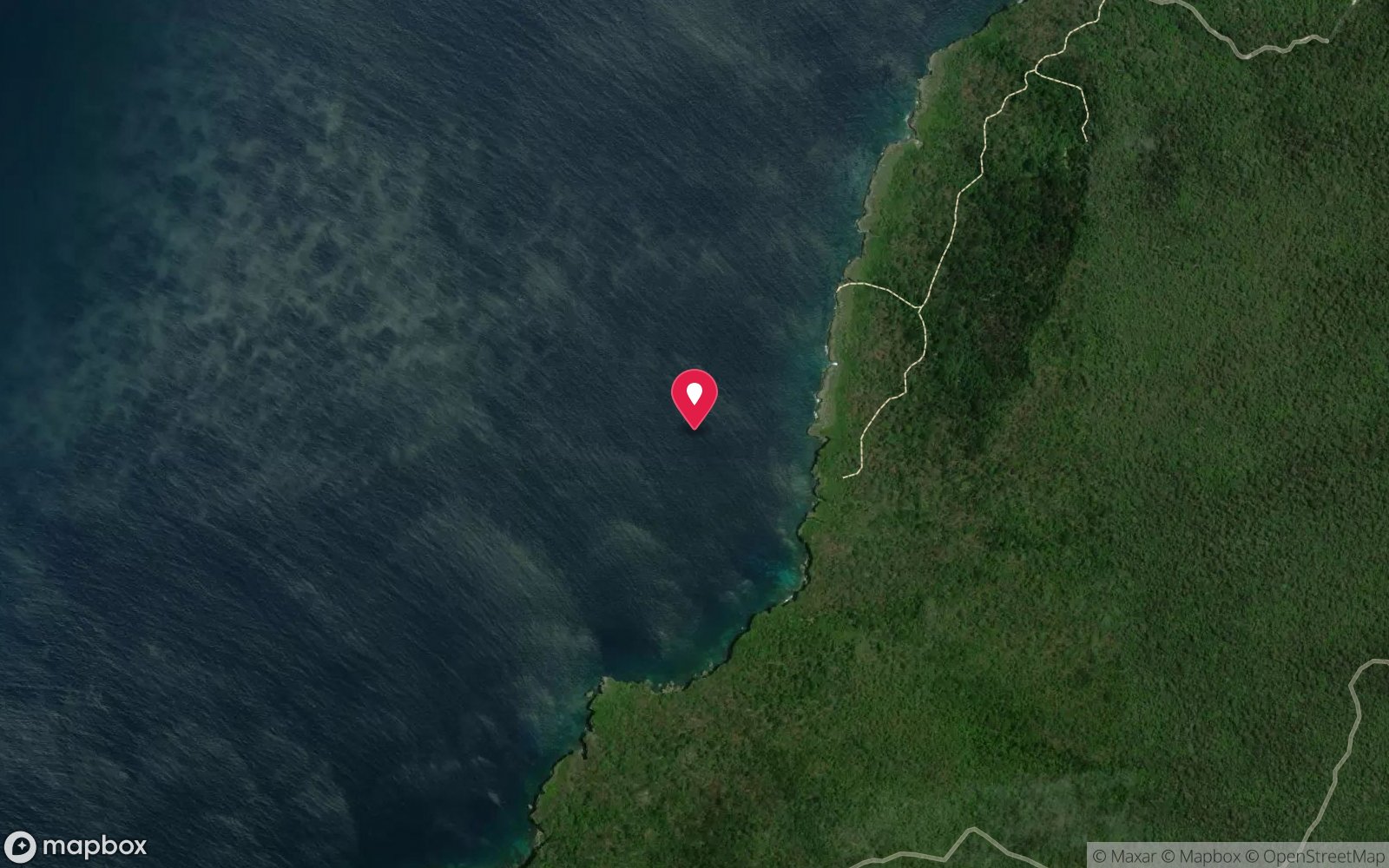
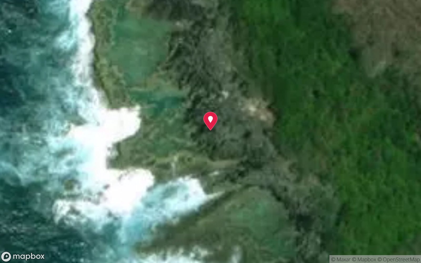
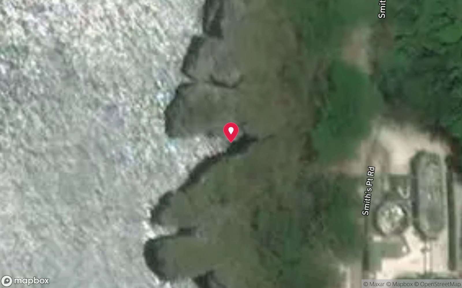
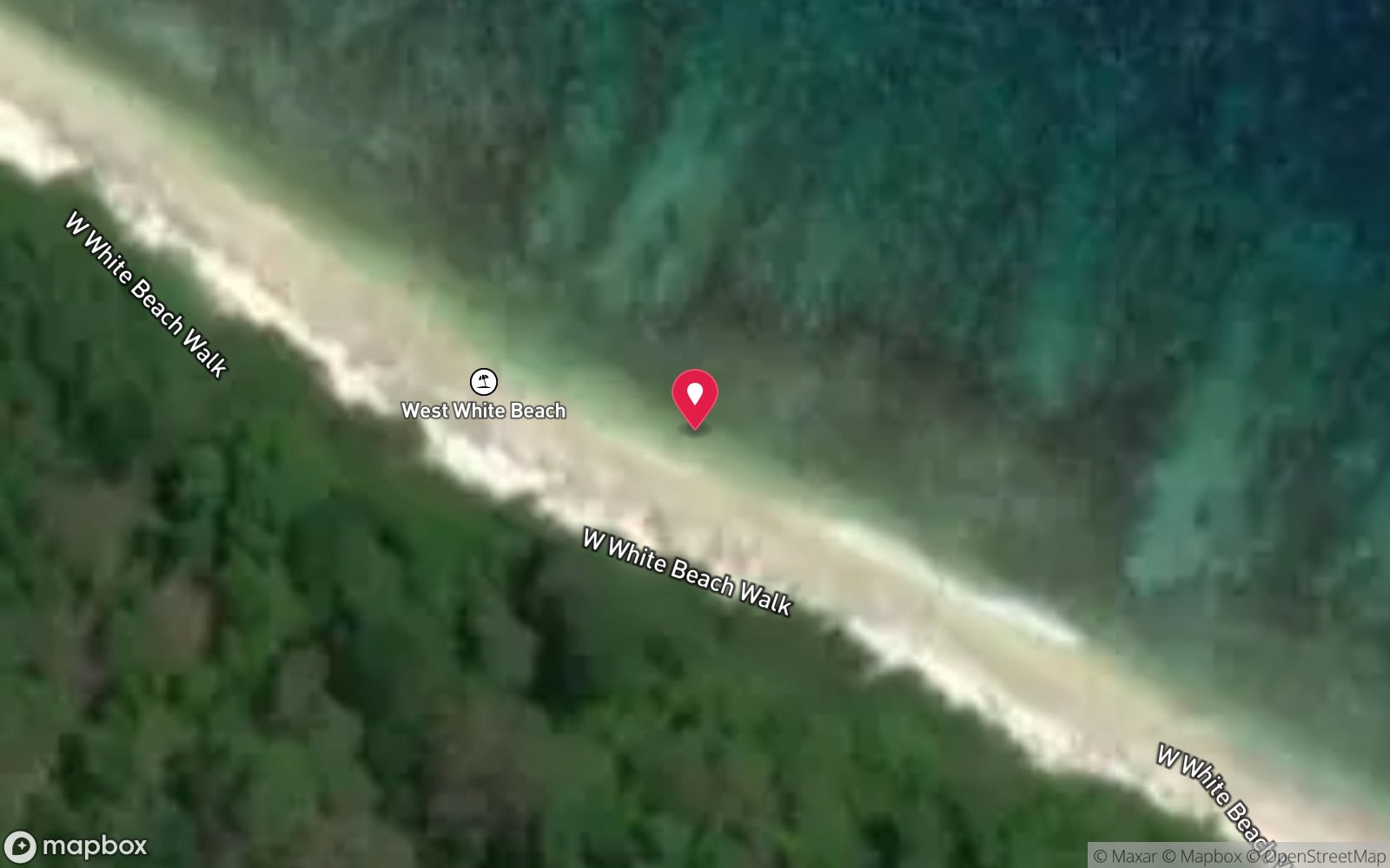
Satellite views
Merrial Beach: frequently asked questions
How deep is Merrial Beach?
Merrial Beach reaches a maximum depth of 20 m, with the shallowest part at about 2 m; most of the dive is spent around 10 m.
What certification do I need to dive Merrial Beach?
Advanced Open Water is the recommended minimum. Open Water divers can dive the shallower section (typical depth 10 m); the full site to 20 m needs Advanced Open Water. Operators often quote Open Water. Rated intermediate because of depth beyond 18 m, tidal current that must be timed, surge on the entry or in the shallows.
Can I shore dive Merrial Beach?
No, it is reached by boat (about 45 minutes). A dive centre is required: boat access only.
When is the best time to dive Merrial Beach?
August–November on calm, low-swell days; whale sharks Nov–Apr; avoid NW monsoon swell Dec–Apr.
What marine life will I see at Merrial Beach?
Regularly recorded: Hard corals, butterflyfish, angelfish, surgeonfish, parrotfish, wrasse, turtles, reef sharks, spinner dolphins.
What wetsuit do I need at Merrial Beach?
3 mm full wetsuit (many dive in a 3 mm shorty or rash vest); 5 mm for multiple long dives or cave dives.
How cold is the water at Merrial Beach?
Typically 28-29 °C in summer and 26-27 °C in winter.
What are the main hazards at Merrial Beach?
Access at low tide only; waves and surge over the reef flat; strong currents offshore; remote with no facilities; long boat ride. See the hazards section above for the full list.
Where is the nearest recompression chamber to Merrial Beach?
Fiona Stanley Hospital (Perth) – approx. 2,600 km away; there is no recompression chamber on Christmas Island. Stabilisation at Christmas Island Hospital, then aeromedical evacuation to Perth (many hours). In an emergency call 000, then DAN Asia-Pacific on 1800 088 200.
Diving in Christmas Island
Christmas Island is the top of a volcanic seamount, so the fringing reef gives way to a wall within 20–50 m of the shore and keeps falling to 500 m. The diving is drift and wall diving in exceptional visibility, with sea caves such as Thundercliff, the endemic dragon moray, grey reef and silvertip sharks, spinner dolphins and, from November to January, whale sharks that arrive to feed on red crab spawn.
Getting there: Fly from Perth (about four hours) with a single dive operator based at Flying Fish Cove. Shore entries are possible at Flying Fish Cove and a few north-coast sites when the sea is flat.
Sources
- christmasislandnationalpark.gov.au/things-do/activities/beaches/merrial-beach
- christmas.net.au/explore/beaches-christmas-island
Data confidence: Low · Being verified: Not in operators' published site lists – dive depths, access and coordinates estimated.. Last updated September 2026. Know this site better? How to send a correction
Nearby dive sites
More reef dives in External Territories
Explore more
This region