Dive slate · divesites.com.au · printed 9 Nov 2026
Mount Everest (Bicheno)
Tasmania East Coast, Tasmania · near Bicheno
| Depth | 5–40 m |
|---|---|
| Minimum level | Deep/Advanced + experience |
| Difficulty | Advanced |
| Access | Boat (day trip) |
| Entry | Back roll or giant stride from a small boat (live-boat drop and pick-up is the local norm) |
| Current | Mild |
| Visibility | 12-20 m |
| Water | summer 15-18 °C, winter 11-13 °C |
| Suit | 7 mm wetsuit with hood, gloves and boots (or semi-dry); drysuit common, especially May-October |
| Best season | Year-round; winter (June-September) for best visibility, late summer-autumn (February-May) for warmest water and calm mornings |
| Bottom time | 35 min |
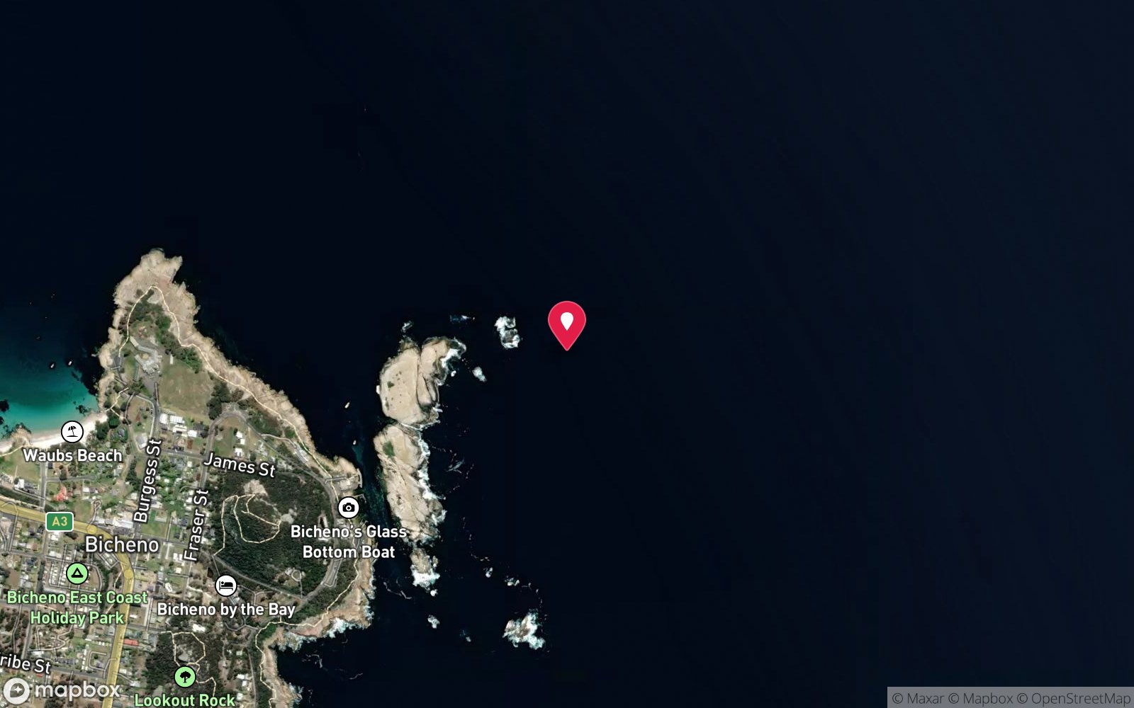
| Position | -41.87080, 148.31760 (approximate) |
| Permit | Governor Island Marine Reserve (no-take, est. 1991): no fishing or collecting of any kind; no permit needed to dive. Landing on Governor Island is prohibited 1 Aug-31 Mar (crested tern breeding). Boats must keep to 5 knots within 120 m of dive flags. |
| Nearest chamber | Royal Hobart Hospital Hyperbaric Medicine Unit (Hobart) - the only chamber in Tasmania; Launceston has none. DAN emergency hotline 1800 088 200 |
| Emergency | 000 · DAN Asia-Pacific diving emergency 1800 088 200 |
Mount Everest (Bicheno)
Also known as Mt Everest
A mound rising from 40 m to 5 m - a whole vertical profile in one dive and a colourful safety stop after The Castle.
Near Bicheno · Tasmania East Coast, Tasmania
- Depth
- 5–40 m
- Minimum level
- Deep/Advanced + experience
- Access
- Boat (day trip)
- Boat ride
- ~3 min
- Water
- 15-18 °C
- Visibility
- 12-20 m
Mount Everest (Bicheno)5–40 m · Deep/Advanced + experience
Dive factsDepths, conditions, location & safety
Season
Off-peak nowBest months: January, February, March, April, May, June, July, August, September, December.
Year-round; winter (June-September) for best visibility, late summer-autumn (February-May) for warmest water and calm mornings
- Best months
- Now (November)
Dive facts
- Depth
- 5–40 m
- Typical depth
- 20 m
- Certification
- Deep/Advanced + experience
- Difficulty
- Advanced
- Depth tier
- Deep / Advanced + experience (30–40 m)
- Access
- Boat (day trip)
- Offshore
- 0.4 km
- Dive centre needed
- Yes – boat access only
- Shore / independent
- No
- Boat ride
- ~3 min
- Current
- Mild
- Visibility
- 12-20 m
- Water temp (summer)
- 15-18 °C
- Water temp (winter)
- 11-13 °C
- Water
- Cold Temperate
- Bottom time
- 35 min
- Dive traffic
- Moderate (occasional charters/club dives)
- Night dive
- No
- Snorkel friendly
- No
Exposure suit
7 mm wetsuit with hood, gloves and boots (or semi-dry); drysuit common, especially May-October
Location
Bicheno - Governor Island Marine Reserve
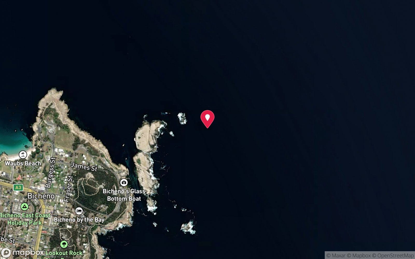
-41.87080, 148.31760
Approximate position — not for navigation.
Open in Google MapsPrimary source: scubachronicles.wordpress.comMarine park & permits
Governor Island Marine Reserve (no-take, est. 1991): no fishing or collecting of any kind; no permit needed to dive. Landing on Governor Island is prohibited 1 Aug-31 Mar (crested tern breeding). Boats must keep to 5 knots within 120 m of dive flags.
Nearest recompression chamber
Royal Hobart Hospital Hyperbaric Medicine Unit (Hobart) - the only chamber in Tasmania; Launceston has none. DAN emergency hotline 1800 088 200
Diving emergency: call 000, then DAN AP 1800 088 200.
Trip planner
Build a trip around Mount Everest (Bicheno) →
A day-by-day plan for Tasmania East Coast with this site locked in.
This guide is a planning aid. Conditions change daily — confirm with a local dive centre and dive within your training. Data & safety notes.
Dive profile
How this site rates
Scores are computed from the recorded data, not opinions. How?
At a glance
Mount Everest (Bicheno) is a pinnacle / bommie boat dive in Tasmania East Coast, TAS, 5–40 m, suited to Deep/Advanced + experience divers, about 3 minutes by boat.
Rated advanced because of depth to 40 m, surge on the entry or in the shallows, boat traffic overhead, cold water.
Why dive here
- A mound rising from 40 m to 5 m - a whole vertical profile in one dive and a colourful safety stop after The Castle.
- Visibility often reaches 12-20 m.
Conditions to avoid
- Swell above about 1.5 m
- Strong southerly or south-east swell and wind
- Afternoon north-easterlies
- Strong westerlies
About Mount Everest (Bicheno)
Mount Everest is a granite mound on the eastern side of Governor Island that Scuba Chronicles describes as stretching from a sandy 40 m bottom right up to 5 m under the surface. On the way down there is a 20 m drop-off leading to a cavern with soft corals, and the upper parts of the mound are covered in kelp and sea grasses.
Michael McFadyen's Castle Cave dive finishes by circling the reef clockwise to Mount Everest, which he describes as a five-metre peak accessible in calm seas. That makes it a natural end point for a Castle dive and a good place for a long safety stop, with the surrounding reef and its fish in view. Striped trumpeter, octopus, southern rock lobster, leatherjackets and banded morwong are recorded in the area, and the deeper faces carry sea whips, sponges and zoanthids like the rest of the reserve.
As a standalone dive, Mount Everest offers a full vertical profile in one site. Divers can go deep on the flanks and work steadily upward, which makes gas and decompression planning easy. In practice most visitors see it as part of The Castle dive rather than on its own.
It suits Advanced Open Water divers. The summit can be surgy and is only comfortable in calm conditions, and divers should be careful of boat traffic when ascending from such a shallow point close to the Gulch. Nitrox is useful if the plan includes time on the deeper flanks before the ascent to the summit.
Getting there & entry
An underwater mound that rises from a 40 m sandy bottom to within about 5 m of the surface beside Castle Cave on Governor Island.
Bicheno is on the Tasman Highway (A3), about 2 hr 15 min (180 km) from Hobart and 2 hr (160 km) from Launceston. Boats launch from the small ramp at The Gulch (Waubs Gulch), the narrow channel between Governor Island and the town foreshore off Esplanade; there is trailer parking beside the ramp and fishing co-op. The Governor Island sites are only 2-5 minutes' run out of the Gulch.
Tasmanian boat diving is almost always done as a live-boat drop and pick-up rather than at anchor. Mount Everest is on the same reef as The Castle on the eastern side of Governor Island, 3 minutes from the ramp. It is often visited at the end of a Castle dive.
Entry: Back roll or giant stride from a small boat (live-boat drop and pick-up is the local norm)
Weather, swell & tides
The Governor Island sites face east into the Tasman Sea, so easterly and north-easterly swell over about 1.5 m, or a fresh easterly/north-easterly sea breeze, makes them rough and surgy and can close the Gulch entrance. Westerly and north-westerly winds blow offshore and give the flattest seas; southerly swell wraps in and stirs the bottom, and a big southerly can drop visibility under 2 m for days. Winter (June-September) usually brings the clearest water (20-30 m) and most settled westerly weather; summer afternoons are often spoiled by the NE sea breeze, so dive mornings.
The 5 m summit is only visitable in calm seas.
Best season: Year-round; winter (June-September) for best visibility, late summer-autumn (February-May) for warmest water and calm mornings
If it's blown out
Sheltered or shore sites within 25 km that often work when Mount Everest (Bicheno) doesn't.
- Governor Island Wave Deflection Wall · 1 km · Max 6 m
- Fish Rock (Bicheno) · 1 km · Max 15 m
- Waubs Bay · 1 km · Max 16 m
- The Boot (Freycinet) · 17 km · Max 12 m
How the dive is usually run
Descend the mound to the 20 m drop-off and the cavern with soft corals, explore to your planned depth, then spiral up the mound clockwise to the summit at about 5 m for the safety stop. Alternatively finish a Castle Cave dive here.
Marine life
- Striped trumpeter
- octopus →
- southern rock lobster
- leatherjackets
- banded morwong
- butterfly perch
- sea whips
- sponges
- zoanthids
- soft corals
- kelp
Linked species have their own page listing every site where they are recorded. All marine life →
Training required
The recreational limit. Operators expect a Deep Diver specialty or Advanced plus a log of similar dives, and most recommend nitrox.
Operators often quote Advanced Open Water, but the site reaches 40 m, which is beyond that level's depth limit; Deep/Advanced + experience is the appropriate minimum for the full dive. This is a deep dive: plan gas, bottom time and a safety stop accordingly, and consider nitrox.
Operators' own listing: Advanced Open Water.
Courses that help here
- Enriched Air Nitrox – Longer no-decompression time at 25 m and deeper.
- Deep Diver – The site reaches 40 m.
- Cavern Diver – An overhead environment.
- Drysuit Diver – Cold water; locals dive dry for much of the year.
Depth tiers: 0–10 m easy · to 18 m Open Water · 18–30 m Advanced (25 m+ is a deep dive) · 30–40 m Deep specialty · 40 m+ technical. All courses
Hazards & warnings
Depth on the flanks to 40 m; surge on the shallow summit; boat traffic on ascent.
Dive centres that go here
No confirmed full-time commercial dive operator in Bicheno as of 2026: the long-running Bicheno Dive Centre was reported closed (Michael McFadyen) although some tourism pages still list it - verify before travelling. Sites are dived by club boats (Tas Uni Dive Club, Tasmanian Scuba Diving Club, Leven Scuba Club), the annual Combined Clubs Weekend each June, and occasional trips from Launceston (Tasmanian Divers) and Hobart (Go Dive Tasmania) shops.
Operators recorded for Mount Everest (Bicheno)
Go Dive Tasmania
ListedHobart · Hobart & Derwent · TAS
A Tasmanian business providing training, equipment and service support for cold-water diving.
godivetas.com.au · (03) 6231 9749
Tasmanian Divers North
ListedLaunceston · Tasmania North & North-West · TAS
A northern Tasmanian operation serving the Bass Strait coastline and local diving community.
tasdivers.com.au · (03) 6229 1020
Bicheno Dive Centre
ListedBicheno · Tasmania East Coast · TAS
A Bicheno operation servicing the Governor Island Marine Reserve and east coast diving.
bichenodive.com.au · (03) 6375 1138
Tas Uni Dive Club
Named by sitesMount Nelson · Tasmania East Coast · TAS
University dive club, not a shop; gear hire Thursdays 6-6:30pm.
tudc.org.au
Other dive centres in Tasmania East Coast
Eaglehawk Dive Centre
ProfiledEaglehawk Neck · Tasman Peninsula · TAS
The principal operation at Eaglehawk Neck, servicing the Tasman Peninsula's sea caves, walls and deeper wrecks.
eaglehawkdive.com.au · 0417 013 518
Tasmanian Scuba Diving Club
Named by sitesHobart · Tasmania East Coast · TAS
Club, not a shop; postal address only.
tsdc.org.au
Map
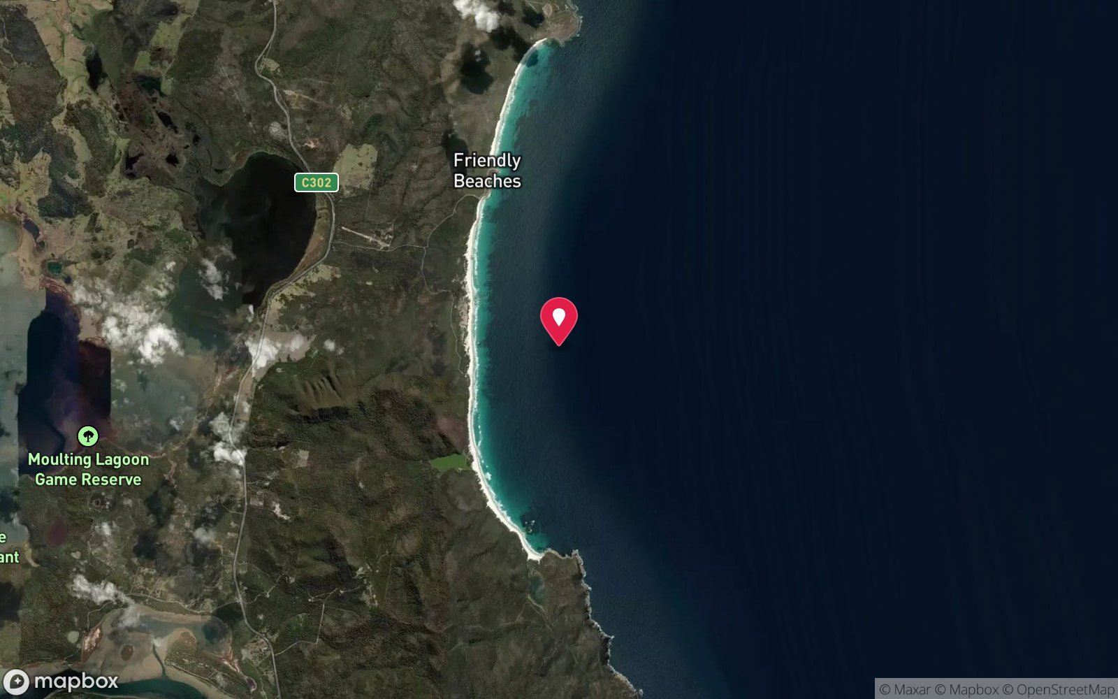
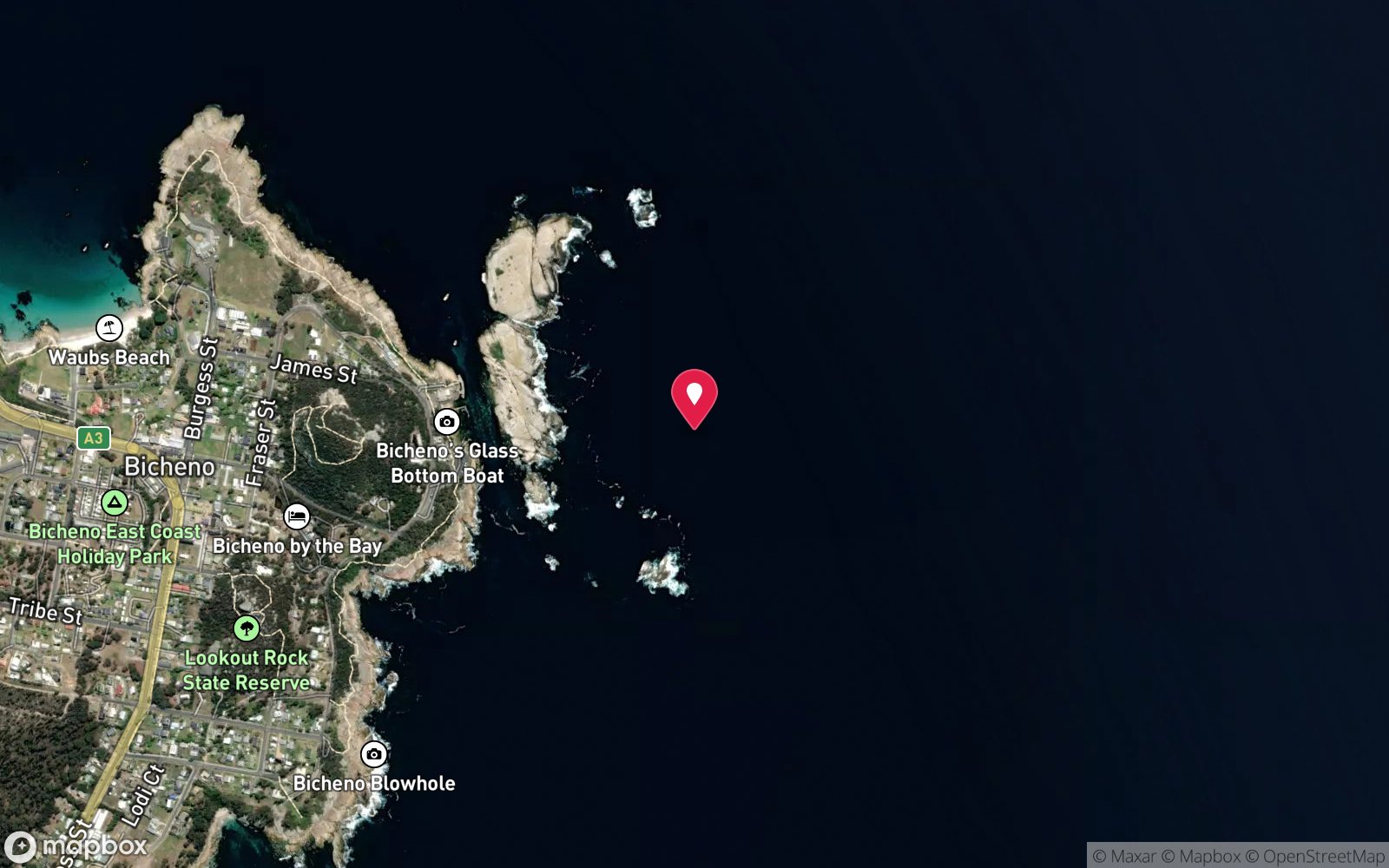
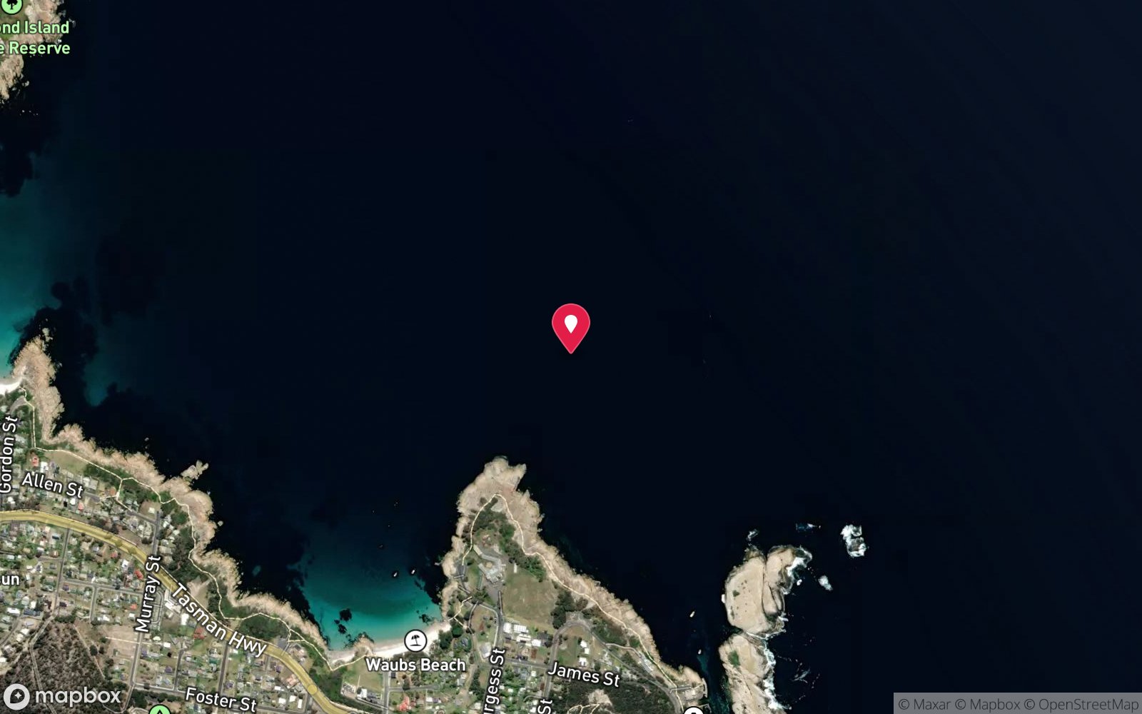
7 pinned sites. Pins marked approximate on their pages show the general area only; not for navigation.
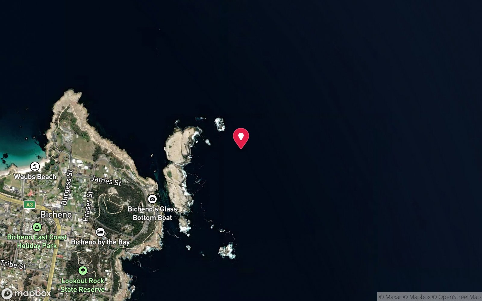
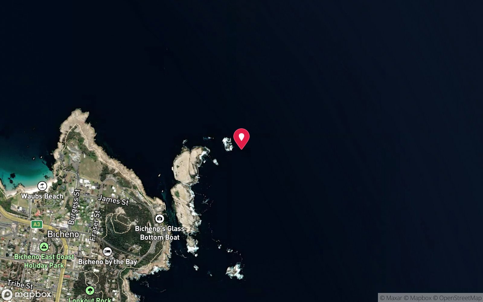
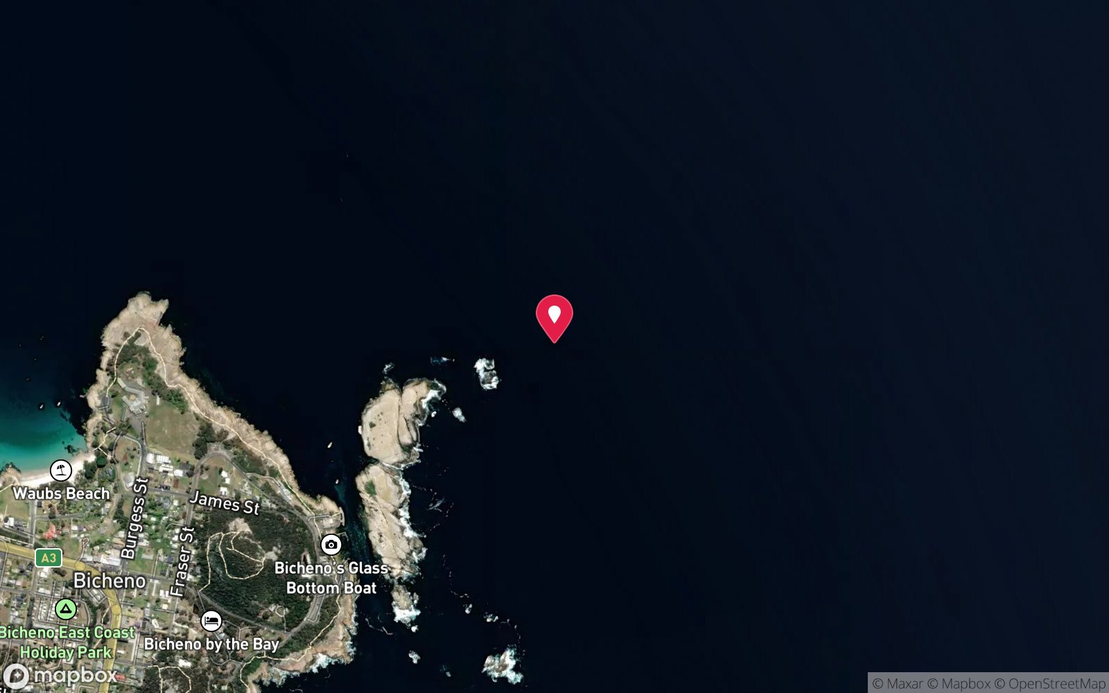
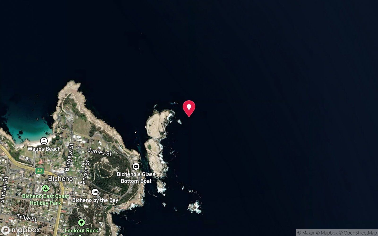
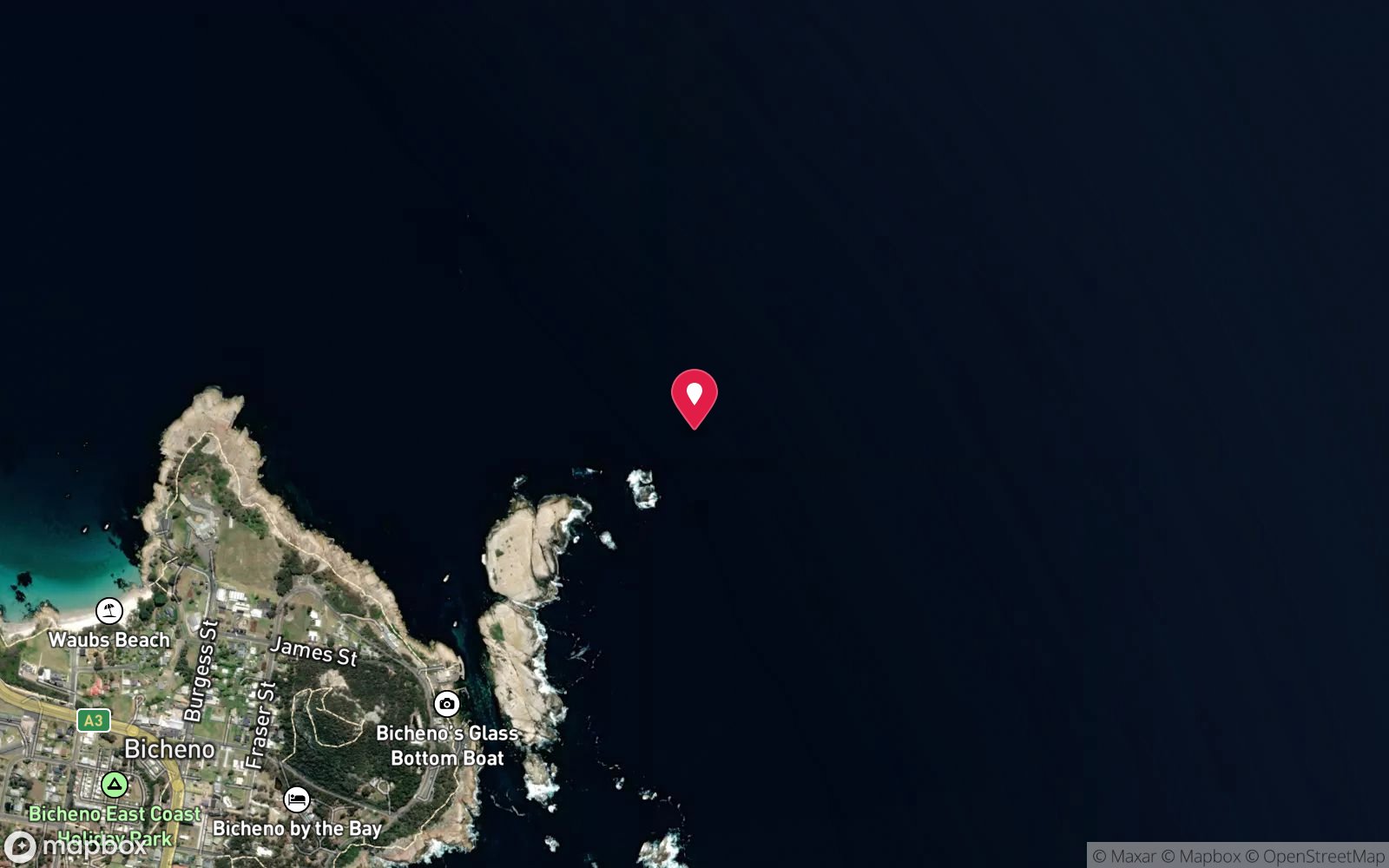
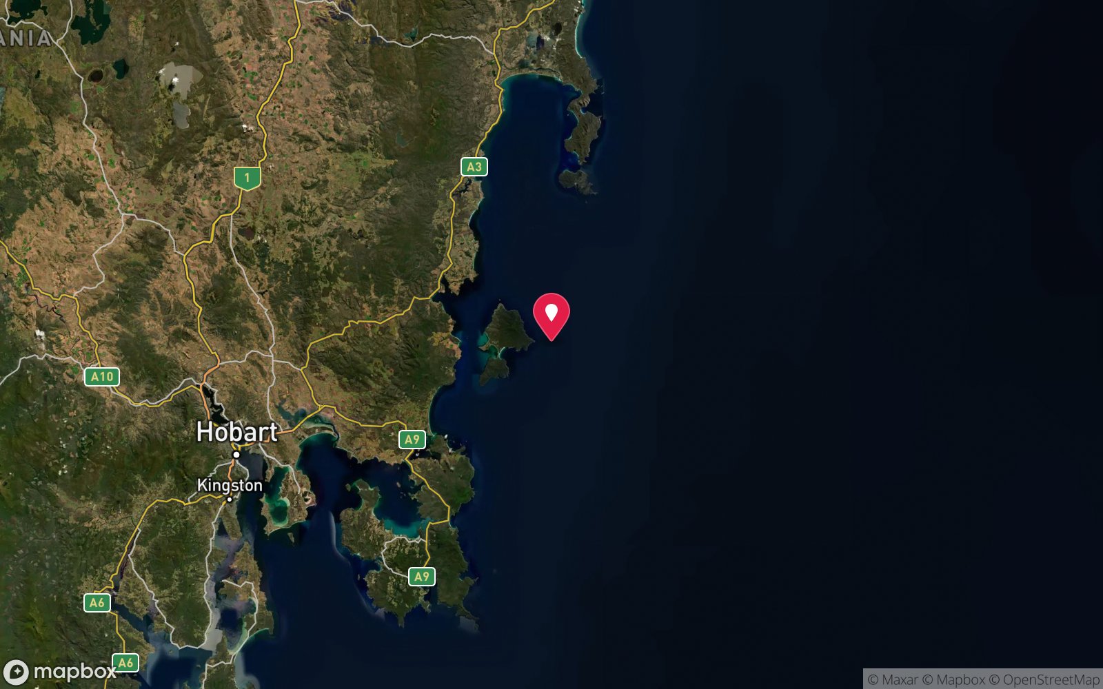
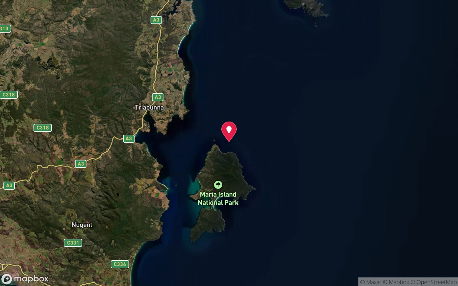
Satellite views
Mount Everest (Bicheno): frequently asked questions
How deep is Mount Everest (Bicheno)?
Mount Everest (Bicheno) reaches a maximum depth of 40 m, with the shallowest part at about 5 m; most of the dive is spent around 20 m.
What certification do I need to dive Mount Everest (Bicheno)?
Deep/Advanced + experience is the recommended minimum. Operators often quote Advanced Open Water, but the site reaches 40 m, which is beyond that level's depth limit; Deep/Advanced + experience is the appropriate minimum for the full dive. This is a deep dive: plan gas, bottom time and a safety stop accordingly, and consider nitrox. Rated advanced because of depth to 40 m, surge on the entry or in the shallows, boat traffic overhead, cold water.
Can I shore dive Mount Everest (Bicheno)?
No, it is reached by boat (about 3 minutes). A dive centre is required: boat access only.
When is the best time to dive Mount Everest (Bicheno)?
Year-round; winter (June-September) for best visibility, late summer-autumn (February-May) for warmest water and calm mornings.
What marine life will I see at Mount Everest (Bicheno)?
Regularly recorded: Striped trumpeter, octopus, southern rock lobster, leatherjackets, banded morwong, butterfly perch, sea whips, sponges, zoanthids, soft corals, kelp.
What wetsuit do I need at Mount Everest (Bicheno)?
7 mm wetsuit with hood, gloves and boots (or semi-dry); drysuit common, especially May-October.
How cold is the water at Mount Everest (Bicheno)?
Typically 15-18 °C in summer and 11-13 °C in winter.
What are the main hazards at Mount Everest (Bicheno)?
Depth on the flanks to 40 m; surge on the shallow summit; boat traffic on ascent. See the hazards section above for the full list.
Where is the nearest recompression chamber to Mount Everest (Bicheno)?
Royal Hobart Hospital Hyperbaric Medicine Unit (Hobart) - the only chamber in Tasmania; Launceston has none. DAN emergency hotline 1800 088 200. In an emergency call 000, then DAN Asia-Pacific on 1800 088 200.
Diving in Tasmania East Coast
Bicheno is Tasmania's dive capital. Governor Island Marine Reserve, a few hundred metres offshore, has more than 20 sites in granite: the Castle, Magic Garden, the Golden Bommies, the Canyon and the Wave Deflection Wall, all covered in sponges, sea whips, jewel anemones and butterfly perch. Further afield, the Bay of Fires, Wineglass Bay and Maria Island add wrecks, kelp and seals.
Getting there: Two and a half hours from Hobart or Launceston. A dive operator in Bicheno runs daily boat dives in season; the Gulch and Waubs Bay are shore dives.
All Tasmania East Coast dive sites and a suggested itinerary →
Sources
- scubachronicles.wordpress.com/2009/01/16/tasmanias-top-dive-locations-governors-island-marine-reserve-bicheno
- michaelmcfadyenscuba.info/viewpage.php?page_id=739
Data confidence: Medium · Being verified: Coordinates approximate.. Last updated September 2026. Know this site better? How to send a correction