Dive slate · divesites.com.au · printed 9 Nov 2026
Mount Martha, Ian Road
Mornington Peninsula, Victoria · near Mount Martha
| Depth | 3–5 m |
|---|---|
| Minimum level | Open Water |
| Difficulty | Beginner |
| Access | Shore |
| Entry | Rock/beach entry at the foot of the creek-gully track |
| Current | None |
| Visibility | 3–8 m m |
| Water | summer 18–21 °C °C, winter 10–13 °C °C |
| Suit | 7 mm wetsuit or semi-dry with hood and gloves; drysuit preferred June–October |
| Best season | Autumn and winter with easterly winds |
| Bottom time | 45 min |
| Position | -38.29484, 144.98446 (GPS) |
| Permit | None required |
| Nearest chamber | The Alfred (Melbourne) |
| Emergency | 000 · DAN Asia-Pacific diving emergency 1800 088 200 |
Mount Martha, Ian Road
Also known as Ian Road gully
Southern end of the Mount Martha cliff reef, nearest Martha Point and the Safety Beach marina; pairs with Stanley Crescent.
Near Mount Martha · Mornington Peninsula, Victoria
- Depth
- 3–5 m
- Minimum level
- Open Water
- Access
- Shore
- Boat ride
- Shore entry
- Water
- 18–21 °C
- Visibility
- 3–8 m
Mount Martha, Ian Road3–5 m · Open Water · Shore
Dive factsDepths, conditions, location & safety
Season
Off-peak nowBest months: March, April, May, June, July, August.
Dive facts
- Depth
- 3–5 m
- Typical depth
- 4 m
- Certification
- Open Water
- Difficulty
- Beginner
- Depth tier
- Easy (0–10 m)
- Access
- Shore
- Dive centre needed
- No – independently diveable
- Shore / independent
- Yes
- Current
- None
- Visibility
- 3–8 m
- Water temp (summer)
- 18–21 °C
- Water temp (winter)
- 10–13 °C
- Water
- Temperate
- Bottom time
- 45 min
- Dive traffic
- Rarely dived (private boat/club only)
- Night dive
- Possible
- Snorkel friendly
- Yes
Exposure suit
7 mm wetsuit or semi-dry with hood and gloves; drysuit preferred June–October
Location
Mount Martha
-38.29484, 144.98446
Published GPS position.
Open in Google MapsPrimary source: scubadoctor.com.auMarine park & permits
None required
Nearest recompression chamber
The Alfred (Melbourne)
Diving emergency: call 000, then DAN AP 1800 088 200.
Trip planner
Build a trip around Mount Martha, Ian Road →
A day-by-day plan for Mornington Peninsula with this site locked in.
This guide is a planning aid. Conditions change daily — confirm with a local dive centre and dive within your training. Data & safety notes.
Dive profile
How this site rates
Scores are computed from the recorded data, not opinions. How?
At a glance
Mount Martha, Ian Road is a shore / rock platform shore dive you can do independently in Mornington Peninsula, VIC, 3–5 m, suited to Open Water divers.
Rated beginner: sheltered, shallow and manageable for a newly certified diver on a normal day, though note boat traffic overhead and cold water.
Why dive here
- Southern end of the Mount Martha cliff reef, nearest Martha Point and the Safety Beach marina; pairs with Stanley Crescent.
- Snorkel-friendly, so non-diving companions can join at the surface.
- Rarely dived: expect to have the site to yourself, and plan your own logistics.
Conditions to avoid
- Afternoon north-easterlies
- Outgoing tide or run-off after rain (poor visibility)
About Mount Martha, Ian Road
Ian Road is the southern-most of the five Mount Martha gully dives, the last creek gully before the cliffs run out at Martha Point and the coast turns into the Martha Cove marina and the long sandy sweep of Safety Beach. The Scuba Doctor lists it, like its four neighbours, as a 3–5 m shore dive with fairly easy track access, and its page adds only its position at the southern end of the 8 km cliff line. That position matters in two ways: it is the gully nearest the Safety Beach marina entrance, so boats and jet skis pass closest along this shore in summer and a flag is essential; and it is the closest of the five to the marina's cafés and toilets, which is a consideration on a cold morning.
It pairs with Stanley Crescent only 320 m to the north-east, giving two entries for one piece of reef and an easy one-way option. The reef itself is the cliff-foot platform found along the whole coast – sandstone and basalt ledges and undercuts, boulder falls from the cliffs, brown algae and Sargassum on the rock, seagrass in the sandy gaps, shelving to about 5 m – and it holds the eastern bay's rocky-shore community of magpie perch, old wives, zebrafish, leatherjackets, hulafish and bullseyes, with decorator crabs, small octopus and abalone in the crevices, fiddler rays, stingarees and flathead on the sand and giant cuttlefish inshore in winter. South of the gully the reef fades toward Martha Point and the sand of Safety Beach, so the productive direction is north.
Ian Road suits self-sufficient shore divers exploring the Mount Martha cliffs and local snorkellers; it offers no depth or facilities, is exposed to every westerly wind, and is best on a calm high-tide morning with an easterly, when the water over the platform is clear and there is nobody else in it.
Getting there & entry
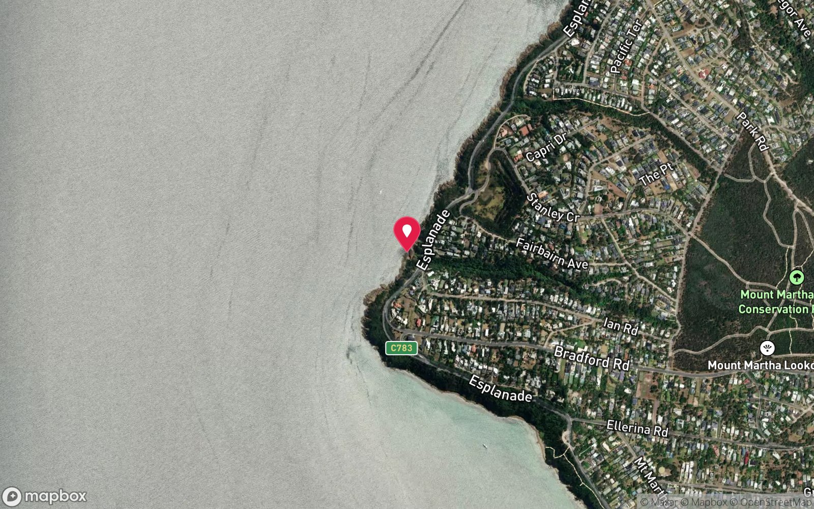
Southern-most of the five creek-gully shore dives on the Mount Martha cliff coast between Balcombe Point and Martha Point, below the Esplanade at Ian Road; 320 m south-west of Stanley Crescent and nearest to Martha Point and the Safety Beach marina.
From Safety Beach take the Esplanade north along the cliff top to Ian Road, or from Mount Martha village follow the Esplanade south for about 4.5 km. Park on Ian Road or the Esplanade – residential streets with no formal car park – and take the walking track down the creek gully to the shore, 100–200 m with a moderate climb back. Enter over the rock platform at the gully mouth at high tide and swim out to the reef in 3–5 m.
Exit at the same gully or at Stanley Crescent 320 m to the north-east.
Entry: Rock/beach entry at the foot of the creek-gully track
Facilities: None at the gully; residential street parking only; toilets and cafés at Mount Martha village and Safety Beach; air fills at Mornington or Rosebud dive shops.
Weather, swell & tides
The Mount Martha cliff coast faces west-south-west and is fully exposed to westerly and south-westerly winds, which raise a shore break over the rock platforms and make the gully entries slippery and surgy; anything above 10 knots from the west quarter is a poor day. Dive on easterly or north-easterly winds, at or near high tide so that the inshore platforms are covered. There is no current.
Visibility drops for a day or two after rain when the gullies run. Summer sea breezes arrive most afternoons, so mornings are the reliable window.
Best season: Autumn and winter with easterly winds
If it's blown out
Sheltered or shore sites within 25 km that often work when Mount Martha, Ian Road doesn't.
- Mornington Pier · 10 km · Max 12 m
- Rye Pier · 16 km · Max 7 m
- Blairgowrie Pier · 20 km · Max 7 m
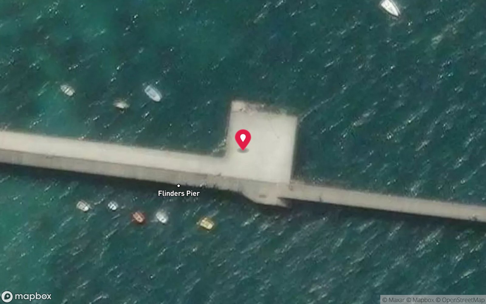
- Flinders Pier · 20 km · Max 6 m
How the dive is usually run
Enter at the gully mouth at high tide, descend as soon as there is 2 m of water and swim straight out to the 4–5 m reef edge, then follow the rock parallel to the cliffs with the shore on one side for a fixed time or gas fraction. Turn, return along the same line slightly shallower, and surface at the gully.
Marine life
- Magpie perch
- old wife
- zebrafish
- leatherjackets
- southern hulafish
- bullseyes
- decorator crab
- Maori octopus →
- blacklip abalone
- southern fiddler ray
- sand flathead
- giant cuttlefish (winter) →
Linked species have their own page listing every site where they are recorded. All marine life →
Training required
Shallow enough for snorkellers and for a first dive under supervision. Any certified diver can dive it.
Courses that help here
- Drysuit Diver – Cold water; locals dive dry for much of the year.
Depth tiers: 0–10 m easy · to 18 m Open Water · 18–30 m Advanced (25 m+ is a deep dive) · 30–40 m Deep specialty · 40 m+ technical. All courses
Hazards & warnings
Westerly swell and shore break over rock platforms; slippery gully entries; no facilities or formal parking; unstable cliffs – stay on tracks; boat traffic from Safety Beach marina to the south; carry a flag.
Dive centres that go here
No regular operator – independent shore divers and snorkellers only.
Operators recorded for Mount Martha, Ian Road
The Scuba Doctor
ProfiledRye · Melbourne & Port Phillip Bay · VIC
A Victorian equipment and service business with an extensive retail presence, located to serve both Melbourne and Mornington Peninsula divers.
scubadoctor.com.au · (03) 5985 3322
Diveline Scuba Centre
ListedFrankston · Melbourne & Port Phillip Bay · VIC
A Victorian business associated with technical training and gas support alongside recreational courses.
diveline.com.au · (03) 9783 7166
Aquability
ListedMordialloc · Melbourne & Port Phillip Bay · VIC
A Victorian operation associated with technical diving training. Exact agency, course levels and gas support require verification.
aquability.com.au · (03) 9587 1811
Scubabo Dive Victoria (Dive Victoria Group)
Named by sitesQueenscliff · Port Phillip Heads · VIC
Rebranded as Scubabo Dive Victoria, Queenscliff; dive.scubabo.com is live for 2026 with active charter bookings.
dive.scubabo.com · (03) 5258 1188
Bayplay
Named by sitesPortsea · Port Phillip Heads · VIC
PADI dive resort and adventure tours.
bayplay.com.au · (03) 5984 0888
Red Boats
Reported closedPortsea · Port Phillip Heads · VIC
TripAdvisor marks RedBoats Portsea as permanently closed (last review November 2021) and the domain is now an unrelated boating blog.
Other dive centres in Mornington Peninsula
Bay City Scuba
ListedEast Geelong · Melbourne & Port Phillip Bay · VIC
A Victorian business associated with recreational and technical training alongside equipment and gas services.
baycityscuba.com · (03) 5248 1488
Scuba Culture
ListedBurwood · Melbourne & Port Phillip Bay · VIC
A Melbourne business providing training and equipment support for local divers.
scubaculture.com.au · (03) 9808 0033
Ocean Divers
ListedBentleigh East · Melbourne & Port Phillip Bay · VIC
A Victorian operation associated with recreational and technical training and access to Port Phillip diving.
oceandivers.com.au · (03) 9579 2600
Academy of Scuba
ListedRye · Melbourne & Port Phillip Bay · VIC
A Melbourne training business offering recreational courses with technical pathways.
academyofscuba.com.au · (03) 9889 9952
ADRENO Melbourne
ListedCheltenham · Melbourne & Port Phillip Bay · VIC
An equipment retailer with a spearfishing and freediving emphasis. Primarily retail rather than a training centre.
adreno.com.au/pages/contact-us-melbourne · (03) 9584 7228
All About Scuba
ListedCampbellfield · Melbourne & Port Phillip Bay · VIC
A Victorian training operation listed among those associated with technical diving. Capability requires verification.
allaboutscuba.com.au · (03) 9939 4913
Map
7 pinned sites. Pins marked approximate on their pages show the general area only; not for navigation.
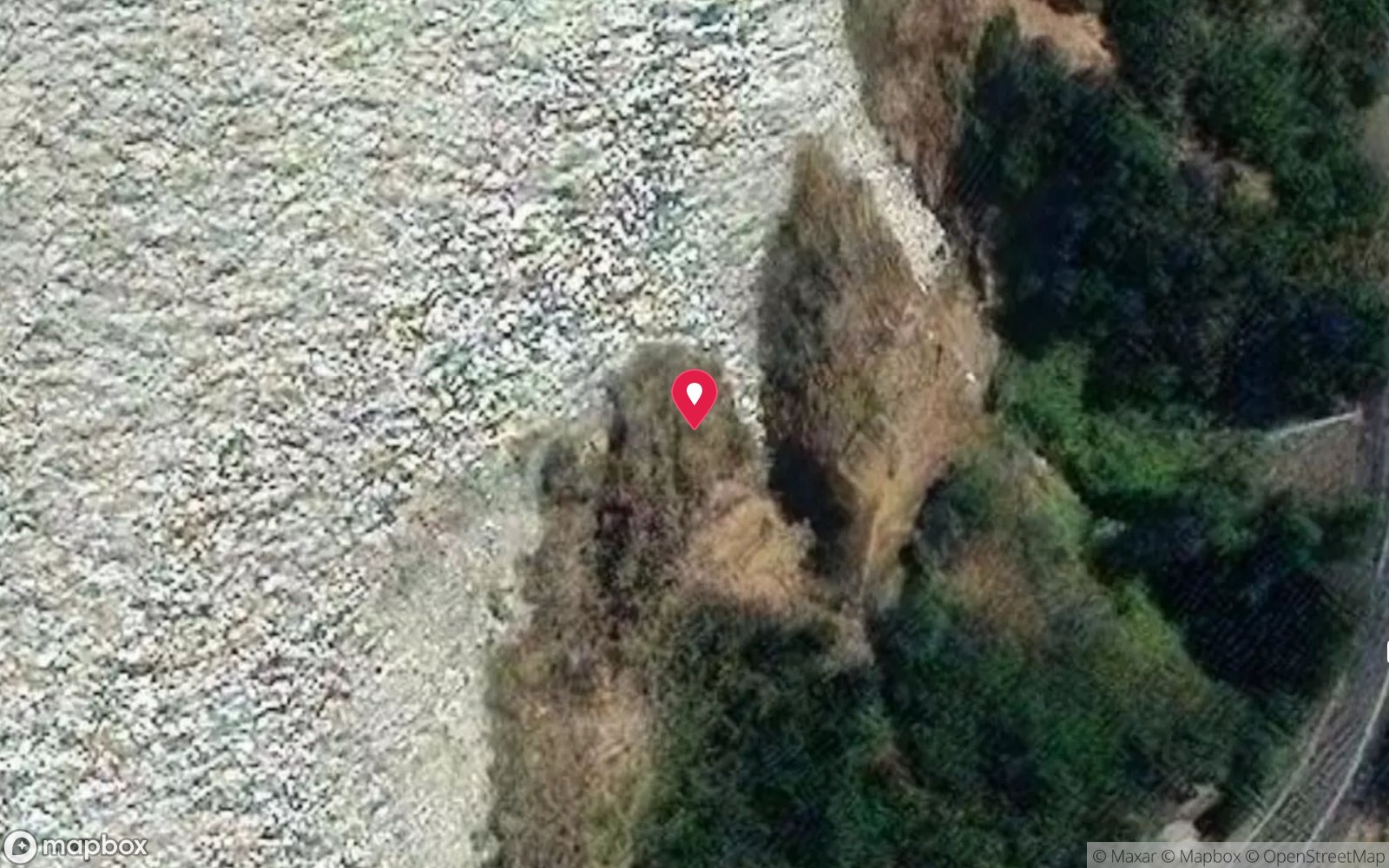
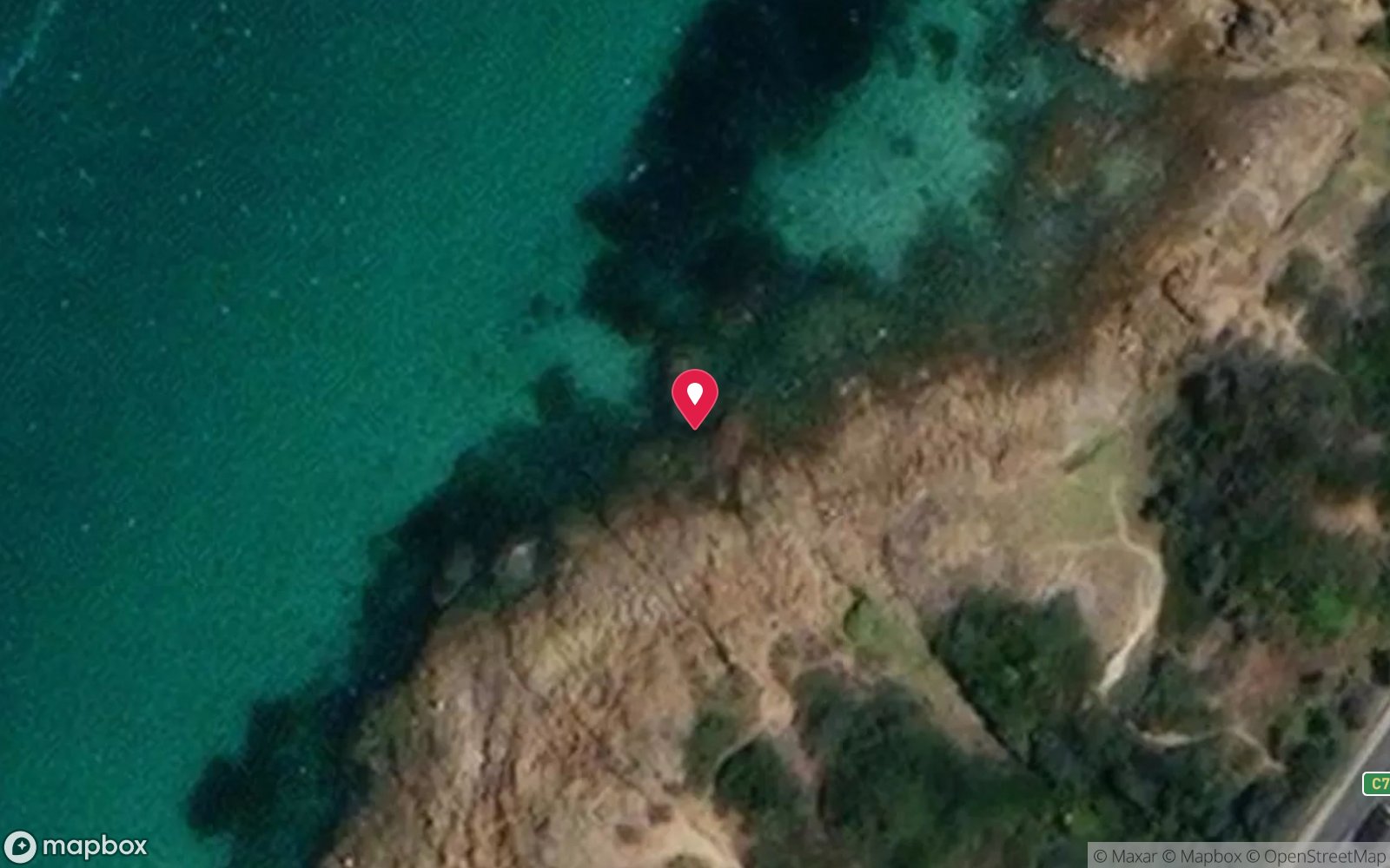
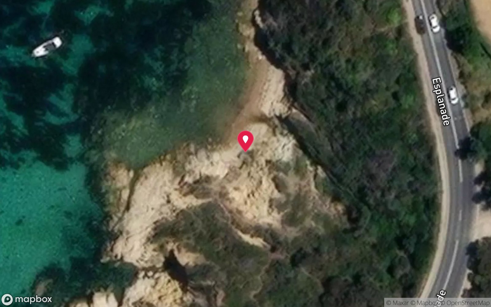
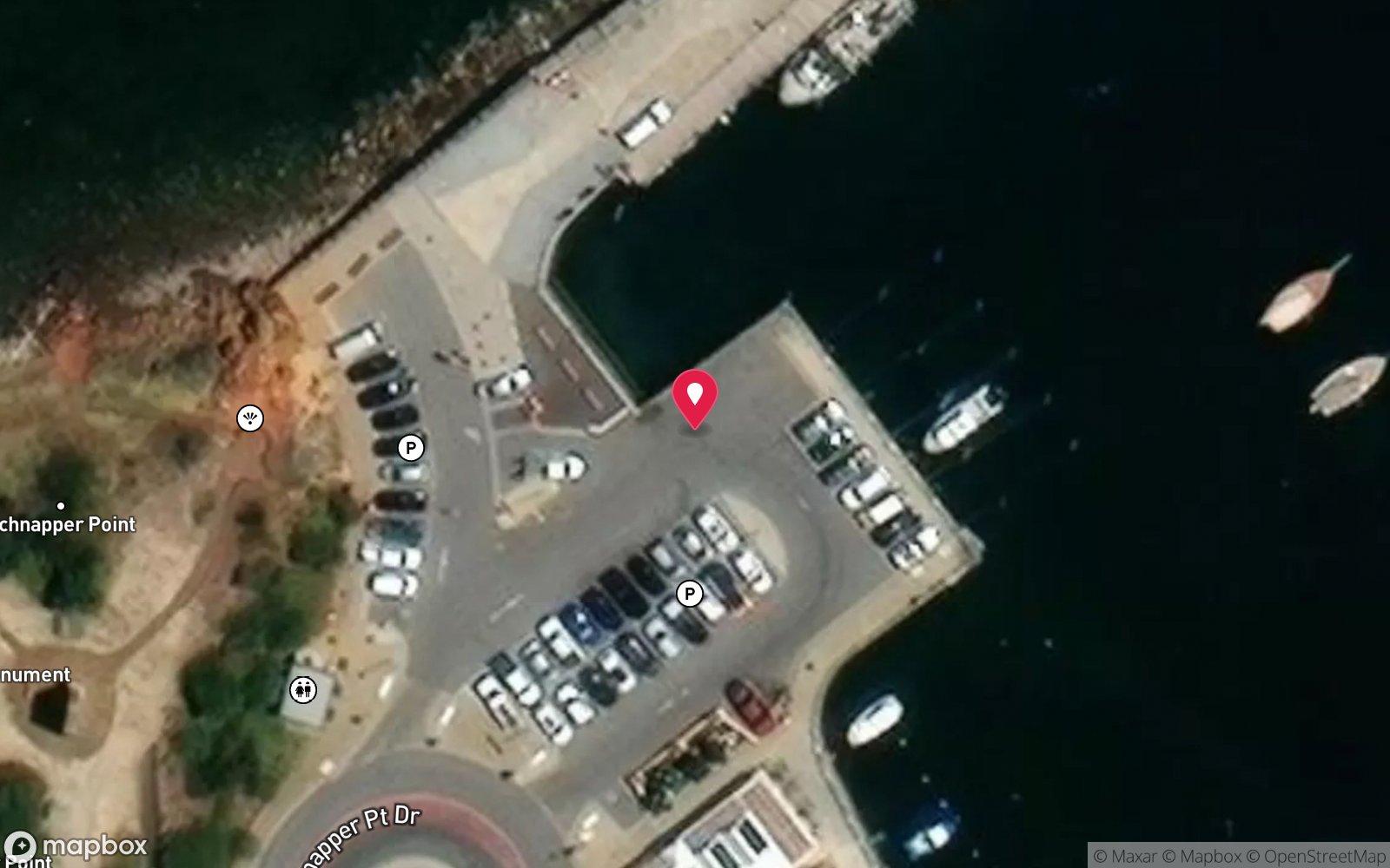
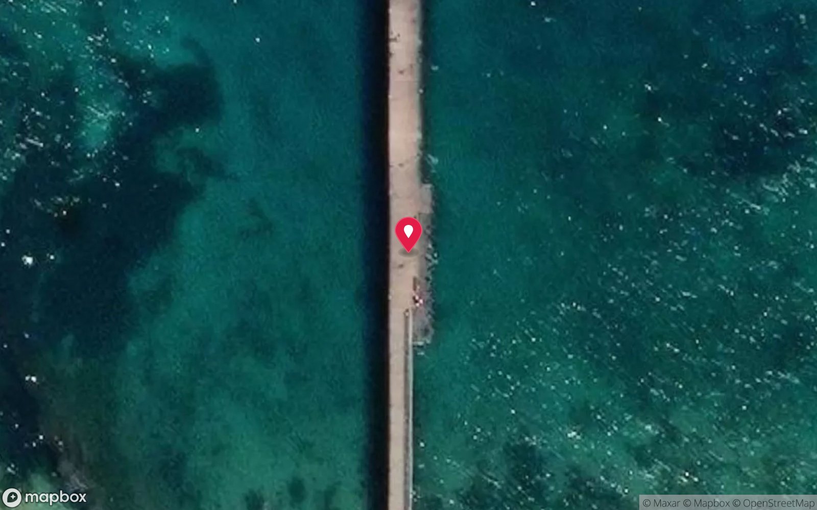
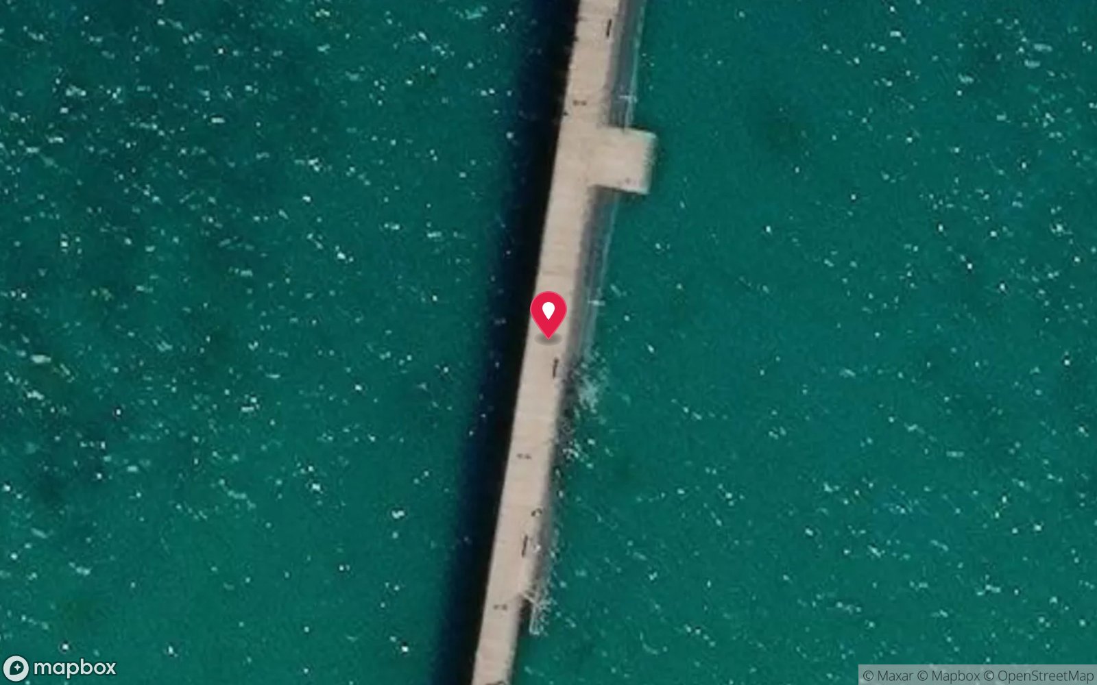
Satellite views
Mount Martha, Ian Road: frequently asked questions
How deep is Mount Martha, Ian Road?
Mount Martha, Ian Road reaches a maximum depth of 5 m, with the shallowest part at about 3 m; most of the dive is spent around 4 m.
What certification do I need to dive Mount Martha, Ian Road?
Open Water is the recommended minimum. Rated beginner: sheltered, shallow and manageable for a newly certified diver on a normal day, though note boat traffic overhead and cold water.
Can I shore dive Mount Martha, Ian Road?
Yes. Mount Martha, Ian Road is a shore dive that can be done independently: rock/beach entry at the foot of the creek-gully track.
When is the best time to dive Mount Martha, Ian Road?
Autumn and winter with easterly winds.
What marine life will I see at Mount Martha, Ian Road?
Regularly recorded: Magpie perch, old wife, zebrafish, leatherjackets, southern hulafish, bullseyes, decorator crab, Maori octopus, blacklip abalone, southern fiddler ray, sand flathead, giant cuttlefish (winter).
What wetsuit do I need at Mount Martha, Ian Road?
7 mm wetsuit or semi-dry with hood and gloves; drysuit preferred June–October.
How cold is the water at Mount Martha, Ian Road?
Typically 18–21 °C in summer and 10–13 °C in winter.
What are the main hazards at Mount Martha, Ian Road?
Westerly swell and shore break over rock platforms; slippery gully entries; no facilities or formal parking; unstable cliffs – stay on tracks; boat traffic from Safety Beach marina to the south; carry a flag. See the hazards section above for the full list.
Where is the nearest recompression chamber to Mount Martha, Ian Road?
The Alfred (Melbourne). In an emergency call 000, then DAN Asia-Pacific on 1800 088 200.
Diving in Mornington Peninsula
The Mornington Peninsula's piers are among the best macro dives in the world. Blairgowrie, Rye, Portsea and Flinders piers have weedy seadragons, giant cuttlefish, spider crab aggregations in May and June, pyjama squid, frogfish and seahorses in 4–8 m of water, and are dived by night as much as by day. The back beaches (Sorrento, Portsea, Cape Schanck) have caves, ledges and bull rays on the rare flat days.
Getting there: Ninety minutes from Melbourne. All the piers are walk-in shore dives with parking; the back beaches need swell under 1 m.
All Mornington Peninsula dive sites and a suggested itinerary →
Sources
Data confidence: Low · Being verified: Source page is boilerplate shared by the five Mount Martha gullies; underwater description inferred from regional geology. Last updated September 2026. Know this site better? How to send a correction
Nearby dive sites

More shore dives in Victoria
Explore more
This region