Dive slate · divesites.com.au · printed 8 Nov 2026
Rockingham Wreck Trail
Perth, Western Australia · near Rockingham
| Depth | 10–18 m |
|---|---|
| Minimum level | Open Water |
| Difficulty | Beginner |
| Access | Shore |
| Entry | Stairs to the beach, 60 m wade then surface swim to marker floats |
| Current | None |
| Visibility | 3–5 (0.5–10+) m |
| Water | summer 21–23 °C, winter 17–19 °C |
| Suit | 5–7 mm wetsuit with hood; 7 mm or semi-dry in winter |
| Best season | Year-round; best visibility often in winter and on weekday mornings |
| Bottom time | 50 min |
| Position | -32.27600, 115.73000 (approximate) |
| Permit | None |
| Nearest chamber | Fiona Stanley Hospital hyperbaric medicine unit (Murdoch, Perth) |
| Emergency | 000 · DAN Asia-Pacific diving emergency 1800 088 200 |
Rockingham Wreck Trail
Also known as Churchill Park Dive Trail, Churchill Park Wreck Trail, Rockingham Dive Trail, RWT
Perth's most-dived shore site: two light aircraft, small scuttled boats and steel structures joined by rope lines in 10–17 m, sheltered in almost all weather.
Near Rockingham · Perth, Western Australia
- Depth
- 10–18 m
- Minimum level
- Open Water
- Access
- Shore
- Boat ride
- Shore entry
- Water
- 21–23 °C
- Visibility
- 3–5 (0.5–10+) m
Rockingham Wreck Trail10–18 m · Open Water · Shore
Dive factsDepths, conditions, location & safety
Season
Off-peak nowBest months: June, July, August.
Year-round; best visibility often in winter and on weekday mornings
- Best months
- Now (November)
Dive facts
- Depth
- 10–18 m
- Typical depth
- 13 m
- Certification
- Open Water
- Difficulty
- Beginner
- Depth tier
- Open Water (10–18 m)
- Access
- Shore
- Offshore
- 0.15 km
- Dive centre needed
- No – independently diveable
- Shore / independent
- Yes
- Current
- None
- Visibility
- 3–5 (0.5–10+) m
- Water temp (summer)
- 21–23 °C
- Water temp (winter)
- 17–19 °C
- Water
- Temperate
- Bottom time
- 50 min
- Dive traffic
- Very popular (dived daily)
- Night dive
- Yes
- Snorkel friendly
- No
Exposure suit
5–7 mm wetsuit with hood; 7 mm or semi-dry in winter
Location
Rockingham foreshore – Churchill Park · Perth Metro – South (Cockburn Sound & Rockingham)
-32.27600, 115.73000
Approximate position — not for navigation.
Open in Google MapsPrimary source: divingwawrecks.comMarine park & permits
None
Nearest recompression chamber
Fiona Stanley Hospital hyperbaric medicine unit (Murdoch, Perth)
Diving emergency: call 000, then DAN AP 1800 088 200.
Trip planner
Build a trip around Rockingham Wreck Trail →
A day-by-day plan for Perth with this site locked in.
This guide is a planning aid. Conditions change daily — confirm with a local dive centre and dive within your training. Data & safety notes.
Dive profile
How this site rates
Scores are computed from the recorded data, not opinions. How?
At a glance
Rockingham Wreck Trail is a artificial reef shore dive you can do independently in Perth, WA, 10–18 m, suited to Open Water divers.
Rated beginner: sheltered, shallow and manageable for a newly certified diver on a normal day, though note boat traffic overhead.
Why dive here
- Perth's most-dived shore site: two light aircraft, small scuttled boats and steel structures joined by rope lines in 10–17 m, sheltered in almost all weather.
- Sunk in 1985.
- Commonly dived at night, when octopus, cuttlefish and crustaceans are out.
About Rockingham Wreck Trail
The Rockingham Wreck Trail, also called the Churchill Park Dive Trail, is Perth's busiest dive site and where many WA divers did their training. It began to take shape around 1987 when Malibu Dive opened in Rockingham, and the steam tug Petrel (1895) was scuttled here in 1985. Over the years clubs and dive shops added small boats, aircraft, steel frames and tyres, connected by pole-and-rope lines in 10–17 m.
The trail as currently documented includes the timber motor boat MV Target (about 10 m long, sunk 1991, 12 m), the motor cruiser Old Timer (the deepest, about 17 m), a twin-engine Beechcraft King Air (sunk 1998, tail removed, half buried) and a smaller Cessna (1999), both at 12 m, an upright steel chicken coop at 17 m, a collapsed coop at 15 m, and tyre piles at 10 m and 14 m, the larger rising 3 m. Older lists also name the Unsinkable, the Luna Sea and the Petrel. Storms in the mid-2000s buried or broke up several items, so the trail changes over time.
The structures are heavily encrusted with soft corals and sponges and are prime habitat for macro life. The chicken coop is known for seahorses, and divers also find octopus, cuttlefish, wrasse, blennies, eels, crustaceans, rays and, in winter, Port Jackson sharks.
The drawback is visibility. Silt and heavy use mean 2–5 m is typical, and visibility worsens as the day goes on. On a quiet winter weekday it can reach 10 m or more.
The trail suits students, newly certified divers practising navigation, night divers and macro photographers. With permanent lines, a dive flag and shelter from most winds, it is dependable and easy to organise.
Wreck details
Multiple: MV Target (timber motor boat, about 10 m, 1991), Old Timer (motor cruiser), Beechcraft King Air (1998), Cessna (1999), steam tug Petrel (1985) · Sunk 1985
Era: post-war. Oldest wrecks · Wartime wrecks · Scuttled warships
Other wrecks of the same era
- Kiryo Maru I Wreck · Max 9 m · Rottnest Island
- Key Biscayne Oil Rig Wreck · Max 42 m · Perth
- Miwok II Barge · Max 11 m · Rottnest Island
- Cheynes III Wreck · Max 23 m · Albany & Great Southern
- North Mole & North Mole Barge · Max 8.5 m · Perth
- No. 20 McDermott Barge · Max 5 m · Pilbara & Dampier
Getting there & entry
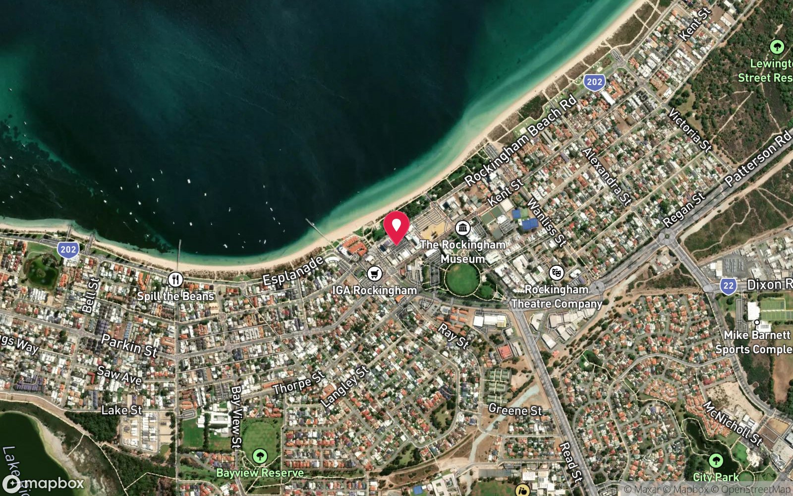
A trail of small scuttled boats, two light aircraft, steel structures and tyre reefs in 10–18 m, about 100–150 m off Rockingham Beach from the end of Flinders Lane.
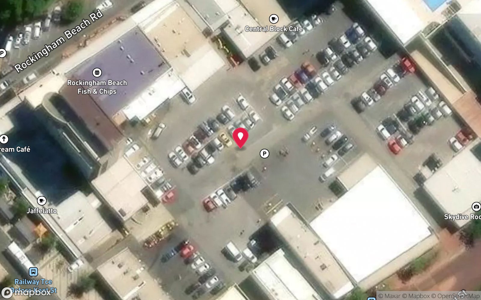
In Rockingham, drive to the car park at the end of Flinders Lane beside Churchill Park on the Rockingham foreshore. The entry stairs are marked by a sphere. Walk down to the beach, wade about 60 m and surface-swim out to the marker floats and permanent dive flag roughly 100–150 m offshore, then descend on the lines.
Pole-and-rope lines with surface floats link the wrecks. It is about 50 minutes from the Perth CBD and a few minutes from Rockingham town centre.
Entry: Stairs to the beach, 60 m wade then surface swim to marker floats
Facilities: Car park at the end of Flinders Lane; Rockingham foreshore toilets, showers, cafes and restaurants within a short walk; dive shops and air fills in Rockingham.
Weather, swell & tides
Protected from most winds by Cockburn Sound and Garden Island, and from the south by Point Peron; only strong north and north-west winds make it rough. This makes it the standard site when others are weathered out. Visibility averages about 5 m and can exceed 10 m in winter, but it falls through the day as divers stir the silt, so dive early, and avoid weekends if possible.
The summer sea breeze roughens the surface swim in the afternoon.
Best season: Year-round; best visibility often in winter and on weekday mornings
If it's blown out
Sheltered or shore sites within 25 km that often work when Rockingham Wreck Trail doesn't.
- Kwinana Grain Terminal Jetty · 7 km · Max 15 m
- Ammo Jetty · 16 km · Max 9 m
- Omeo Wreck & Coogee Maritime Trail · 19 km · Max 7 m
- Point Peron · 4 km · Max 10 m
How the dive is usually run
Descend on the marker lines at about 10 m near the northern tyre pile and follow the rope trail south: the Cessna and the Beechcraft at 12 m, the MV Target at 12 m, then west to the chicken coops at 15–17 m and the Old Timer, the deepest wreck at about 17 m in the south-west corner. Return along the lines to the shallower features and ascend on a marker line.
Marine life
- West Australian seahorses →
- octopus →
- cuttlefish →
- wrasse
- blennies
- eels
- crustaceans
- nudibranchs →
- rays
- Port Jackson sharks (winter) →
- soft corals
- sponges
Linked species have their own page listing every site where they are recorded. All marine life →
Training required
Within the 18 m limit of an entry-level certification.
Courses that help here
- Night Diver – Commonly dived at night.
- Peak Performance Buoyancy – Silt and low visibility punish poor trim.
Depth tiers: 0–10 m easy · to 18 m Open Water · 18–30 m Advanced (25 m+ is a deep dive) · 30–40 m Deep specialty · 40 m+ technical. All courses
Hazards & warnings
Poor visibility, especially later in the day and on weekends; many divers and students in the water; entanglement risk around lines and tyres; half-buried aircraft with sharp aluminium edges; boat traffic on the surface swim, so use the lines and a flag.
Dive centres that go here
Described as Perth's most-dived location: used daily by Rockingham and Perth dive schools, including Perth Scuba and Dolphin Scuba, for Open Water and Advanced training, guided shore dives and night dives.
Operators recorded for Rockingham Wreck Trail
Perth Scuba
ProfiledCanning Vale · Perth · WA
One of the most fully documented operations in Western Australia, covering recreational, professional, technical and freediving training alongside substantial equipment facilities.
perthscuba.com · (08) 9455 4448
Dolphin Scuba Diving
ProfiledWelshpool · Perth · WA
A Perth business providing training, equipment and service support.
dolphinscuba.com.au · (08) 9353 2488
Bucket List Diver
Named by sitesFremantle · Perth · WA
bucketlistdiver.com · (08) 9200 4447
Other dive centres in Perth
ADRENO Perth
ListedO'Connor · Perth · WA
An equipment retailer with a spearfishing and freediving emphasis. Primarily retail rather than a training centre.
adreno.com.au/pages/contact-us-perth · (08) 6424 8480
Dive Imports
ListedMt Hawthorn · Perth · WA
A Perth equipment business. Retail range, servicing and training availability require verification.
diveimports.com · (08) 9443 1657
Dolphin Dive Fremantle
ListedSouth Fremantle · Perth · WA
A Fremantle operation serving local divers, with proximity to Rottnest Island departures.
dolphindive.com.au
Perth Diving Academy
ListedHillarys · Perth · WA
A Perth training business serving the metropolitan recreational market.
perthdiving.com.au · (08) 9448 6343
Spear West
ListedPerth · WA
A Perth spearfishing and freediving business. This serves a different customer from a conventional scuba centre.
spearwest.com.au · 0411 063 351
UWA Underwater Club
Named by sitesCrawley · Rottnest Island · WA
University of Western Australia dive club (operating since 1968); club, not a shop.
uwauc.org.au
Map
7 pinned sites. Pins marked approximate on their pages show the general area only; not for navigation.
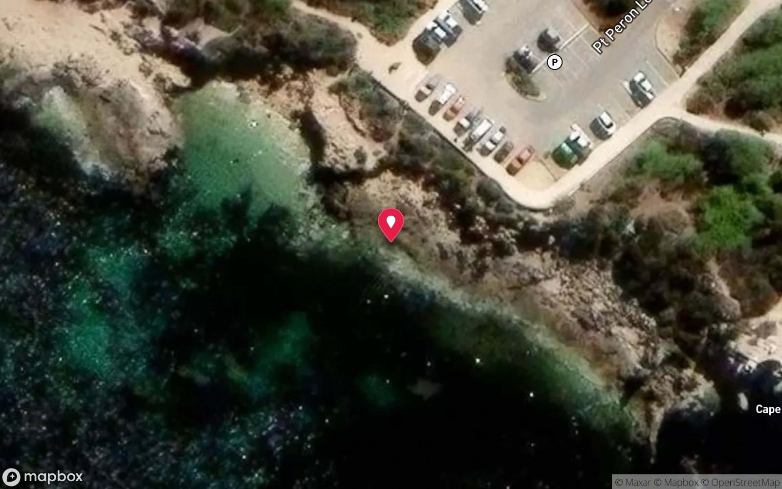
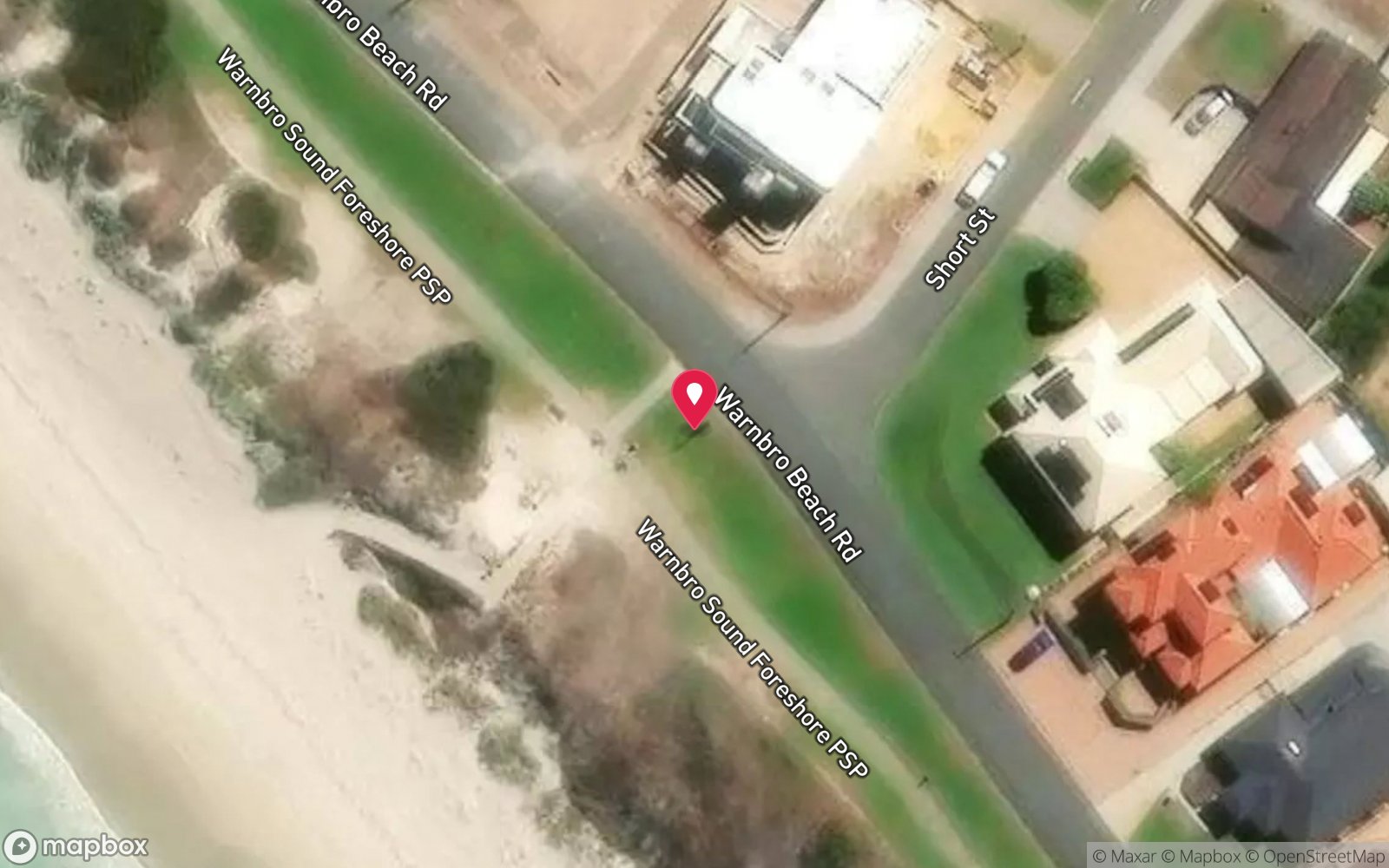
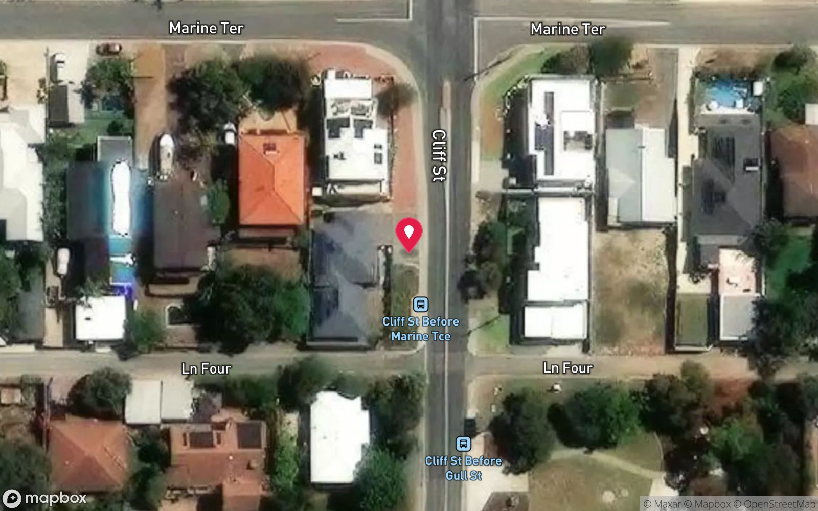
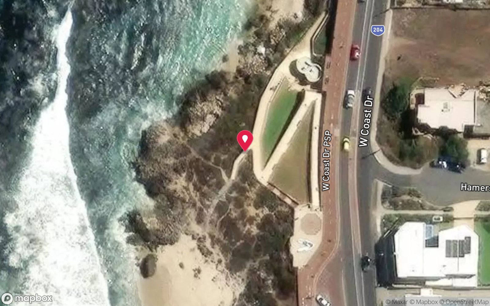
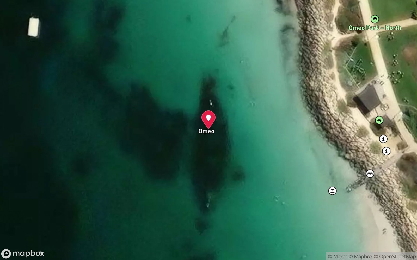
Satellite views
Rockingham Wreck Trail: frequently asked questions
How deep is Rockingham Wreck Trail?
Rockingham Wreck Trail reaches a maximum depth of 18 m, with the shallowest part at about 10 m; most of the dive is spent around 13 m.
What certification do I need to dive Rockingham Wreck Trail?
Open Water is the recommended minimum. Rated beginner: sheltered, shallow and manageable for a newly certified diver on a normal day, though note boat traffic overhead.
Can I shore dive Rockingham Wreck Trail?
Yes. Rockingham Wreck Trail is a shore dive that can be done independently: stairs to the beach, 60 m wade then surface swim to marker floats.
When is the best time to dive Rockingham Wreck Trail?
Year-round; best visibility often in winter and on weekday mornings.
What marine life will I see at Rockingham Wreck Trail?
Regularly recorded: West Australian seahorses, octopus, cuttlefish, wrasse, blennies, eels, crustaceans, nudibranchs, rays, Port Jackson sharks (winter), soft corals, sponges.
What wetsuit do I need at Rockingham Wreck Trail?
5–7 mm wetsuit with hood; 7 mm or semi-dry in winter.
How cold is the water at Rockingham Wreck Trail?
Typically 21–23 °C in summer and 17–19 °C in winter.
What are the main hazards at Rockingham Wreck Trail?
Poor visibility, especially later in the day and on weekends; many divers and students in the water; entanglement risk around lines and tyres; half-buried aircraft with sharp aluminium edges; boat traffic on the surface swim, so use the lines and a flag. See the hazards section above for the full list.
Can you night dive Rockingham Wreck Trail?
Yes, Rockingham Wreck Trail is commonly dived at night.
Diving in Perth
Perth's metropolitan coast from Rockingham to Mindarie has limestone reef ledges, caves and swim-throughs in 5–20 m, the wreck trails at Rockingham and Coogee (Omeo, the Saxon Ranger, the Kwinana Grain Jetty), the Blackwall Reach river dive, and dozens of easy shore entries. Tropical fish arrive on the Leeuwin Current each summer to join the temperate regulars.
Getting there: All within an hour of the city with beach car parks; charters from Fremantle, Hillarys and Mindarie for the offshore reefs.
Sources
- divingwawrecks.com/rockingham-wreck-trail
- howiesscuba.com/basic-dive-site-info.php
- rockingham.wa.gov.au/facilities-and-recreation/sports-and-hobbies/snorkelling-and-diving
- rockingham.wa.gov.au/forms-and-publications/events-culture-and-tourism/visiting-rockingham/diving-and-snorkelling-guide
- marinelife.org.au/?page_id=183
Data confidence: High · Being verified: Current list of surviving features changes after storms.. Last updated September 2026. Know this site better? How to send a correction
Nearby dive sites
More wrecks in Western Australia
Explore more
This region
Similar dives
Marine life