Dive slate · divesites.com.au · printed 8 Nov 2026
Rocky Cape
Tasmania North & North-West, Tasmania · near Wynyard
| Depth | 2–10 m |
|---|---|
| Minimum level | Open Water |
| Difficulty | Beginner |
| Access | Shore |
| Entry | Shore entry from the eastern side of Rocky Cape, north of the toilet block; long surface swim |
| Current | Mild |
| Visibility | 10-25 m |
| Water | summer 16-19 °C, winter 11-13 °C |
| Suit | 7 mm wetsuit with hood, gloves and boots (or semi-dry); drysuit common, especially May-October |
| Best season | January-April, in southerly or light winds |
| Bottom time | 60 min |
| Position | -40.86200, 145.52500 (approximate) |
| Permit | Rocky Cape National Park (land) - Parks Pass required for vehicles. No marine reserve; normal Tasmanian fishing rules apply. No permit needed to dive. |
| Nearest chamber | Royal Hobart Hospital Hyperbaric Medicine Unit (Hobart) - the only chamber in Tasmania; Launceston has none. DAN emergency hotline 1800 088 200 |
| Emergency | 000 · DAN Asia-Pacific diving emergency 1800 088 200 |
Rocky Cape
Also known as Popeye's Rock, Half-Tide Rock, Rocky Cape shore dive
An easy, sheltered course site with a fish-packed rock and superb night diving.
Near Wynyard · Tasmania North & North-West, Tasmania
- Depth
- 2–10 m
- Minimum level
- Open Water
- Access
- Shore
- Boat ride
- Shore entry
- Water
- 16-19 °C
- Visibility
- 10-25 m
Rocky Cape2–10 m · Open Water · Shore
Dive factsDepths, conditions, location & safety
Season
Off-peak nowBest months: January, February, March, April.
Dive facts
- Depth
- 2–10 m
- Typical depth
- 5 m
- Certification
- Open Water
- Difficulty
- Beginner
- Depth tier
- Easy (0–10 m)
- Access
- Shore
- Dive centre needed
- No – independently diveable
- Shore / independent
- Yes
- Current
- Mild
- Visibility
- 10-25 m
- Water temp (summer)
- 16-19 °C
- Water temp (winter)
- 11-13 °C
- Water
- Cold Temperate
- Bottom time
- 60 min
- Dive traffic
- Moderate (occasional charters/club dives)
- Night dive
- Yes
- Snorkel friendly
- Yes
Exposure suit
7 mm wetsuit with hood, gloves and boots (or semi-dry); drysuit common, especially May-October
Location
Rocky Cape National Park · Tasmania North-West Coast
-40.86200, 145.52500
Approximate position — not for navigation.
Open in Google MapsPrimary source: marinelife.org.auMarine park & permits
Rocky Cape National Park (land) - Parks Pass required for vehicles. No marine reserve; normal Tasmanian fishing rules apply. No permit needed to dive.
Nearest recompression chamber
Royal Hobart Hospital Hyperbaric Medicine Unit (Hobart) - the only chamber in Tasmania; Launceston has none. DAN emergency hotline 1800 088 200
Diving emergency: call 000, then DAN AP 1800 088 200.
Trip planner
Build a trip around Rocky Cape →
A day-by-day plan for Tasmania North & North-West with this site locked in.
This guide is a planning aid. Conditions change daily — confirm with a local dive centre and dive within your training. Data & safety notes.
Dive profile
How this site rates
Scores are computed from the recorded data, not opinions. How?
At a glance
Rocky Cape is a shore / rock platform shore dive you can do independently in Tasmania North & North-West, TAS, 2–10 m, suited to Open Water divers.
Rated beginner: sheltered, shallow and manageable for a newly certified diver on a normal day, though note boat traffic overhead and cold water.
Why dive here
- An easy, sheltered course site with a fish-packed rock and superb night diving.
- Commonly dived at night, when octopus, cuttlefish and crustaceans are out.
- Snorkel-friendly, so non-diving companions can join at the surface.
- Visibility often reaches 10-25 m.
Conditions to avoid
- Strong southerly or south-east swell and wind
- Afternoon north-easterlies
- Strong westerlies
- Any time other than slack water
About Rocky Cape
The Marine Life Network guide rates it 6 out of 10 and says it is often used for dive courses: a long swim over shallow short brown algae (about 5 m maximum) followed by abundant fish life around a rock that is visible at low tide and covered by 1-2 m at high tide. The Leven Scuba Club lists Popeyes Rock among the Rocky Cape mix of shore and boat dives.
In the shallows there are a few abalone, wrasse, magpie perch, zebrafish, sponges and ascidians. Around the rock the fish list grows: long-snouted boarfish, barber perch, leatherjackets, red mullet, zebrafish, senator wrasse and globefish, with pipehorses, cuttlefish, cowfish and nudibranchs, and bullseyes in the crevices. The crevices are packed with sponges, ascidians, cup corals, hydroids and bryozoans. At night bullseyes school on the bottom and octopus and other nocturnal hunters appear. Local divers typically combine two or three Rocky Cape and Sisters Island sites in a day, choosing the side of the cape that suits the wind and the state of the tide.
The Rocky Cape and Sisters Island area is, in the Leven Scuba Club's words, the best collection of dive sites on the north-west coast. The quartzite of Rocky Cape - some of the oldest rock in Tasmania - forms gutters, ledges, caves and bommies, and the tidal flow along Bass Strait keeps sponges, gorgonians, sea pens and bryozoans well fed. Michael McFadyen, diving here in February 2008, recorded 18-19 °C water and 20-25 m visibility, figures that surprise divers used to the east coast.
Rocky Cape National Park also protects Aboriginal cave sites and coastal heath above the water, and a Parks Pass is required for vehicles. The nearest hyperbaric chamber is the Royal Hobart Hospital, about four hours' drive away, so conservative profiles and oxygen on the boat are essential.
Getting there & entry
The main shore dive at Rocky Cape: a long swim over shallow weed beds to Popeye's (Half-Tide) Rock on the eastern side of the cape, visible at low tide.
Rocky Cape National Park is off the Bass Highway between Wynyard and Stanley, about 30 minutes west of Wynyard and 1 hr 15 min west of Devonport (Spirit of Tasmania terminal). A Parks Pass is required. Boats launch at the Rocky Cape boat ramps (the western ramp at Mary Ann Bay suits boats up to about 5 m), Sisters Beach or Boat Harbour; ramps are shallow and weedy at low tide, so a 4WD tow vehicle helps.
Drive through the park to the turning area north of the toilet block on the eastern side of the cape. Enter from the shore and make a long swim over shallow weed beds (about 5 m maximum) to Popeye's Rock, which shows at low tide and is covered by 1-2 m at high tide.
Entry: Shore entry from the eastern side of Rocky Cape, north of the toilet block; long surface swim
Facilities: Rocky Cape National Park: day-use areas, toilets and picnic facilities at Mary Ann Bay/western end and near the lighthouse road; no shops. Sisters Beach and Boat Harbour have small general stores; Wynyard for all services. No confirmed air fills on the coast - Launceston is the reliable option.
Weather, swell & tides
The north-west coast faces Bass Strait: north-westerly to north-easterly winds and westerly swell make it rough, while southerly winds blow offshore and give flat seas - light airs and sunny days are relatively common from January to April. Easterly gales are common in the warmer months and close the eastern faces of Rocky Cape and Sisters Island. Tidal streams run along the coast (eastward on the flood), and several boat sites are only comfortable around slack water.
The eastern side is sheltered from westerly weather and is often used for courses; it is exposed to easterly winds.
Best season: January-April, in southerly or light winds
If it's blown out
Sheltered or shore sites within 25 km that often work when Rocky Cape doesn't.
- SS Southern Cross (Boat Rock) · 3 km · Max 12 m
- Pebbly Beach (Rocky Cape) · 3 km · Max 15 m
- The Boomer (Mary Ann Bay) · 3 km · Max 9 m
- Glory Hole (Sisters Cave) · 8 km · Max 10 m
How the dive is usually run
Swim out over the brown algae to Popeye's Rock, then circle it slowly at 5-10 m, searching crevices for macro life; return the same way. Excellent at night, when bullseyes school on the bottom. Turn at a third of gas to allow for the swim back and a possibly harder exit, finish with a 3-minute safety stop at about 5 m if the depth allows, and exit where you entered unless an alternative exit has been checked beforehand.
Marine life
- Long-snouted boarfish
- barber perch
- leatherjackets
- red mullet
- zebrafish
- senator wrasse
- globefish
- pipehorses →
- cuttlefish →
- cowfish
- bullseyes
- nudibranchs →
- sponges
- ascidians
- cup corals
- abalone
Linked species have their own page listing every site where they are recorded. All marine life →
Training required
Shallow enough for snorkellers and for a first dive under supervision. Any certified diver can dive it.
Courses that help here
- Night Diver – Commonly dived at night.
- Drysuit Diver – Cold water; locals dive dry for much of the year.
Depth tiers: 0–10 m easy · to 18 m Open Water · 18–30 m Advanced (25 m+ is a deep dive) · 30–40 m Deep specialty · 40 m+ technical. All courses
Hazards & warnings
Long surface swim - tow a float and flag; boat traffic from the Rocky Cape ramp; exposed to easterlies.
Dive centres that go here
No confirmed commercial dive operator on the north-west coast as of 2026 (older guides mention dive services in Wynyard and Devonport - verify). Sites are dived mainly by the Leven Scuba Club (Ulverstone), other north-west club members and visiting divers with their own boats; Tasmanian Divers (Launceston) runs occasional northern trips.
Operators recorded for Rocky Cape
Tasmanian Divers North
ListedLaunceston · Tasmania North & North-West · TAS
A northern Tasmanian operation serving the Bass Strait coastline and local diving community.
tasdivers.com.au · (03) 6229 1020
Leven Scuba Club
Named by sitesDevonport · Tasmania North & North-West · TAS
Club, not a shop: website live and the club is listed for the Tasmanian Combined Clubs Weekend 2026; meets first Thursday monthly at Mersey Yacht Club.
levenscubaclub.com.au
Other dive centres in Tasmania North & North-West
Map
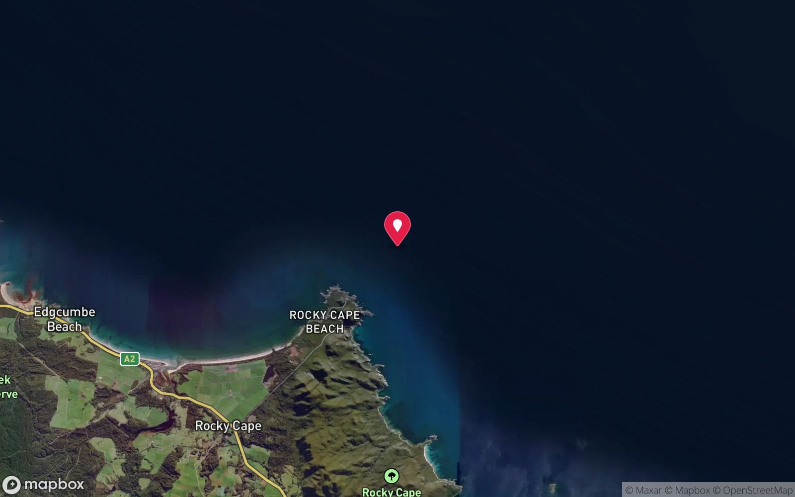
7 pinned sites. Pins marked approximate on their pages show the general area only; not for navigation.
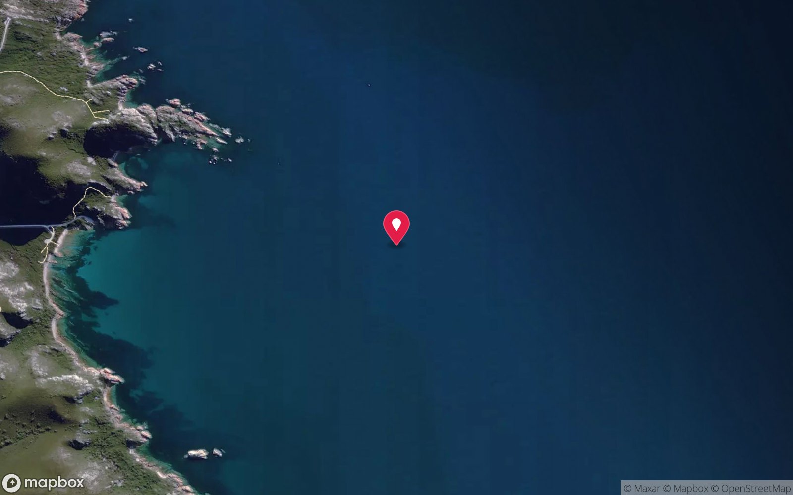
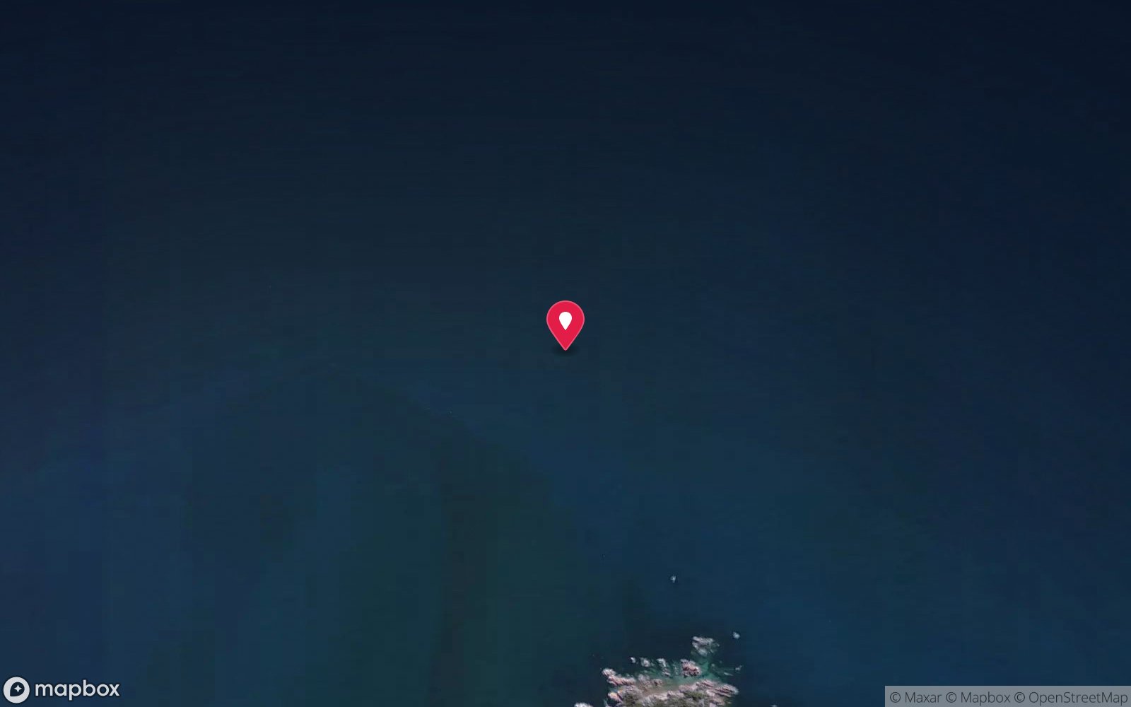
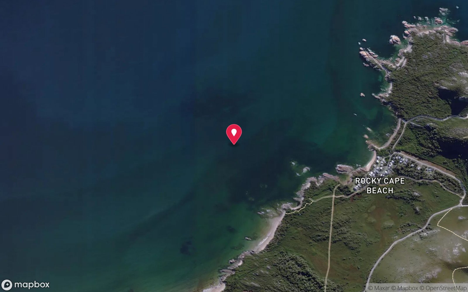
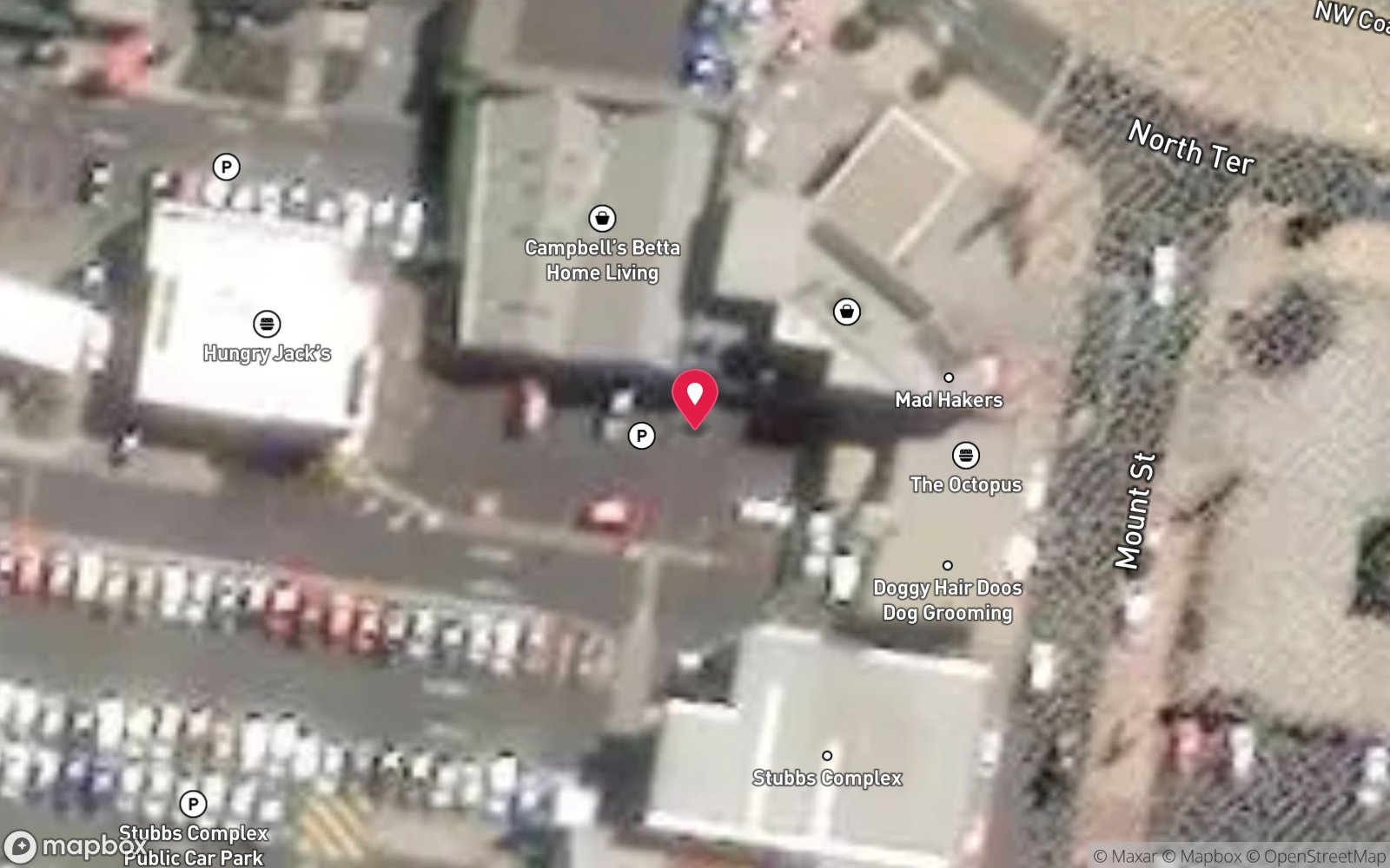
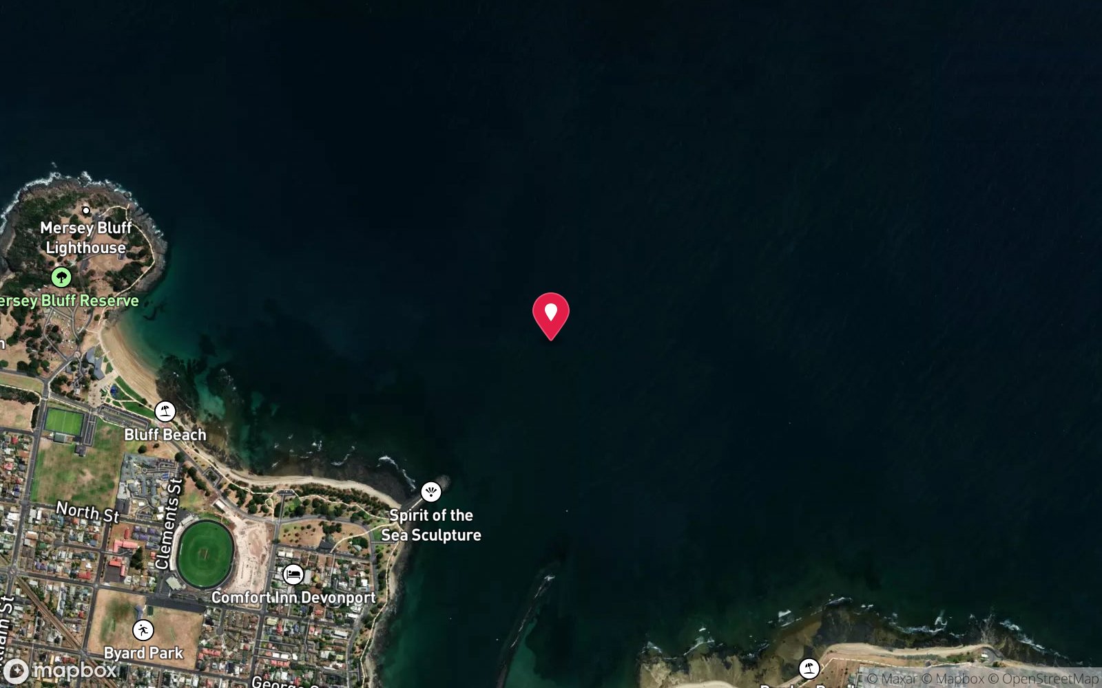
Satellite views
Rocky Cape: frequently asked questions
How deep is Rocky Cape?
Rocky Cape reaches a maximum depth of 10 m, with the shallowest part at about 2 m; most of the dive is spent around 5 m.
What certification do I need to dive Rocky Cape?
Open Water is the recommended minimum. Rated beginner: sheltered, shallow and manageable for a newly certified diver on a normal day, though note boat traffic overhead and cold water.
Can I shore dive Rocky Cape?
Yes. Rocky Cape is a shore dive that can be done independently: shore entry from the eastern side of Rocky Cape, north of the toilet block; long surface swim.
When is the best time to dive Rocky Cape?
January-April, in southerly or light winds.
What marine life will I see at Rocky Cape?
Regularly recorded: Long-snouted boarfish, barber perch, leatherjackets, red mullet, zebrafish, senator wrasse, globefish, pipehorses, cuttlefish, cowfish, bullseyes, nudibranchs and more.
What wetsuit do I need at Rocky Cape?
7 mm wetsuit with hood, gloves and boots (or semi-dry); drysuit common, especially May-October.
How cold is the water at Rocky Cape?
Typically 16-19 °C in summer and 11-13 °C in winter.
What are the main hazards at Rocky Cape?
Long surface swim - tow a float and flag; boat traffic from the Rocky Cape ramp; exposed to easterlies. See the hazards section above for the full list.
Can you night dive Rocky Cape?
Yes, Rocky Cape is commonly dived at night.
Diving in Tasmania North & North-West
Bass Strait's Tasmanian shore from Devonport to Stanley and Rocky Cape is clear, cold and almost undived: sponge gardens, kelp and rock lobster around Wynyard, Boat Harbour and Sisters Beach, the Table Cape wall, and the Rocky Cape National Park reefs. Visibility of 20 m is common in settled weather.
Getting there: Fly into Devonport, Burnie or Launceston. Mostly shore dives with beach and rock entries; occasional club boat dives.
All Tasmania North & North-West dive sites and a suggested itinerary →
Sources
- marinelife.org.au/?page_id=107
- levenscubaclub.com.au/diving.htm
- parks.tas.gov.au/explore-our-parks/rocky-cape-national-park
Data confidence: Medium · Being verified: Coordinates approximate.. Last updated September 2026. Know this site better? How to send a correction
Nearby dive sites
More shore dives in Tasmania
Explore more
This region
Similar dives
Marine life