Dive slate · divesites.com.au · printed 8 Nov 2026
The Maze (Batemans Bay)
Batemans Bay, New South Wales · near Batemans Bay
| Depth | 18–30 m |
|---|---|
| Minimum level | Advanced Open Water |
| Difficulty | Intermediate |
| Access | Boat |
| Entry | Giant stride from anchored boat; descend the anchor line |
| Current | Mild |
| Visibility | 10–20 m m |
| Water | summer 20–22 °C °C, winter 13–15 °C °C |
| Suit | 7 mm wetsuit with hood most of the year (5 mm adequate Feb–Apr); semi-dry or drysuit and gloves Jul–Oct |
| Best season | Autumn and early winter |
| Bottom time | 30 min |
| Position | -35.78150, 150.25267 (approximate) |
| Permit | Batemans Marine Park – check current zoning map |
| Nearest chamber | Prince of Wales Hospital Hyperbaric Unit (Randwick, Sydney) |
| Emergency | 000 · DAN Asia-Pacific diving emergency 1800 088 200 |
The Maze (Batemans Bay)
Also known as The Maze
Ridges and gutters covered in one of the best deep sponge gardens in NSW.
Near Batemans Bay · Batemans Bay, New South Wales
- Depth
- 18–30 m
- Minimum level
- Advanced Open Water
- Access
- Boat
- Boat ride
- ~15 min
- Water
- 20–22 °C
- Visibility
- 10–20 m
The Maze (Batemans Bay)18–30 m · Advanced Open Water
Dive factsDepths, conditions, location & safety
Season
Off-peak nowBest months: March, April, May, June, July, August.
Dive facts
- Depth
- 18–30 m
- Typical depth
- 25 m
- Certification
- Advanced Open Water
- Difficulty
- Intermediate
- Depth tier
- Advanced Open Water (18–30 m)
- Access
- Boat
- Offshore
- 1 km
- Dive centre needed
- Yes – boat access only
- Shore / independent
- No
- Boat ride
- ~15 min
- Current
- Mild
- Visibility
- 10–20 m
- Water temp (summer)
- 20–22 °C
- Water temp (winter)
- 13–15 °C
- Water
- Temperate
- Bottom time
- 30 min
- Dive traffic
- Moderate (occasional charters/club dives)
- Night dive
- Possible
- Snorkel friendly
- No
Exposure suit
7 mm wetsuit with hood most of the year (5 mm adequate Feb–Apr); semi-dry or drysuit and gloves Jul–Oct
Location
Batemans Bay offshore · Batemans Bay – Eurobodalla
-35.78150, 150.25267
Approximate position — not for navigation.
Open in Google MapsPrimary source: marinelife.org.auMarine park & permits
Batemans Marine Park – check current zoning map
Nearest recompression chamber
Prince of Wales Hospital Hyperbaric Unit (Randwick, Sydney)
Diving emergency: call 000, then DAN AP 1800 088 200.
Trip planner
Build a trip around The Maze (Batemans Bay) →
A day-by-day plan for Batemans Bay with this site locked in.
This guide is a planning aid. Conditions change daily — confirm with a local dive centre and dive within your training. Data & safety notes.
Dive profile
How this site rates
Scores are computed from the recorded data, not opinions. How?
At a glance
The Maze (Batemans Bay) is a reef boat dive in Batemans Bay, NSW, 18–30 m, suited to Advanced Open Water divers, about 15 minutes by boat.
Rated intermediate because of depth beyond 18 m, boat traffic overhead, cold water.
Why dive here
- Ridges and gutters covered in one of the best deep sponge gardens in NSW.
- Visibility often reaches 10–20 m.
Conditions to avoid
- Strong southerly or south-east swell and wind
- Afternoon north-easterlies
About The Maze (Batemans Bay)
The Maze is a deep reef about a kilometre offshore in the southern part of Batemans Bay. The Marine Life Network describes it as a deep-reef sponge garden – one of the best in NSW – with ridges and gutters, often clear water and great fish life, reaching 30 m. Spirit Divers' site guide gave a maximum depth of 30 m and an Intermediate rating for Advanced divers, noting many profile options and colourful marine life and geology from surface to seabed.
The name reflects the layout: a series of rock ridges separated by gutters, which gives a maze-like pattern and plenty of edges to explore. With depth, the kelp thins out and the ridges are covered in sponges of all shapes and colours, along with sea squirts, gorgonians and bryozoans. Nudibranchs, flatworms and small crustaceans live among them. Fish include schools of yellowtail, sweep and one-spot pullers, red morwong, blue groper and eastern blue devilfish, with larger pelagic fish such as kingfish passing in summer.
The depth makes it a site for Advanced divers, and it is a good choice when the water is clear. A torch brings out the colour of the sponges. The ridges help with navigation, but they look alike, so note your heading from the anchor. The Marine Life Network GPS appears to be written in a mixed format; it is interpreted here as decimal minutes, which places the site about 1 km east of Black Rock, consistent with the description. Confirm the mark with a local operator before relying on it.
Getting there & entry
Deep sponge-garden reef of ridges and gutters about 1 km offshore from Black Rock, southern Batemans Bay; to 30 m.
Boat access only. From the Hanging Rock ramp in Batemans Bay run south-east past Black Rock, about 15 minutes; the Mosquito Bay (Lilli Pilli) ramp is closer. The Marine Life Network gives the position (listed as 35°46'89" 150°15'16"E, read here as 35°46.89'S 150°15.16'E) about 1 km offshore.
Find the ridges on the sounder at 25–30 m and anchor on rock.
Entry: Giant stride from anchored boat; descend the anchor line
Facilities: Hanging Rock and Mosquito Bay boat ramps; air and nitrox at Beneath the Bay.
Weather, swell & tides
About 1 km offshore and more exposed than the sites inside the bay, so it needs swell under about 1.5 m and moderate winds; strong southerly or easterly swell and summer north-easterlies are the usual reasons it is skipped. The Marine Life Network notes the water is often clear. Heavy rain can still bring turbid water out of the bay.
Best season: Autumn and early winter
If it's blown out
Sheltered or shore sites within 25 km that often work when The Maze (Batemans Bay) doesn't.
- Guerilla Bay · 6 km · Max 15 m
- Pretty Point · 2 km · Max 10 m
- Mosquito Bay (Lilli Pilli) · 2 km · Max 12 m
- Garden Bay (Malua Bay) · 3 km · Max 10 m
How the dive is usually run
Descend the line to the ridge tops at around 20 m and explore along one gutter towards 28–30 m, then cross to the next ridge and return along it to the anchor. Monitor no-decompression time and ascend on the line.
Marine life
- Sponges (diverse, colourful)
- sea squirts
- gorgonians
- bryozoans
- nudibranchs →
- yellowtail
- sweep
- one-spot pullers
- red morwong
- blue groper →
- eastern blue devilfish →
- kingfish (summer)
Linked species have their own page listing every site where they are recorded. All marine life →
Training required
Beyond 18 m an Advanced certification (which includes a deep dive to 30 m) is the accepted minimum. Anything past 25 m is a deep dive in practice.
At more than 25 m this counts as a deep dive: watch no-decompression limits and gas.
Courses that help here
- Enriched Air Nitrox – Longer no-decompression time at 25 m and deeper.
- Drysuit Diver – Cold water; locals dive dry for much of the year.
- Underwater Navigation – Navigation is part of the dive plan.
Depth tiers: 0–10 m easy · to 18 m Open Water · 18–30 m Advanced (25 m+ is a deep dive) · 30–40 m Deep specialty · 40 m+ technical. All courses
Hazards & warnings
Depth to 30 m. Navigation between similar ridges. Current possible.
Boat traffic.
Dive centres that go here
Spirit Divers ran The Maze for Advanced divers (30 m, day and night); the Marine Life Network lists it among the best deep sponge gardens in NSW. Check current availability with Beneath the Bay.
Operators recorded for The Maze (Batemans Bay)
Other dive centres in Batemans Bay
Indepth Scuba
ProfiledBelconnen · Jervis Bay · NSW
A Canberra operation that functions as both a training school and a life-support service facility, with cylinder testing and a full range of gas fills.
indepthscuba.com.au · (02) 6251 1070
Lady of the Sea Diving Academy
ProfiledTuggeranong (Canberra, ACT) · Jervis Bay · NSW
A Canberra operation with an unusually complete set of facilities for an inland centre, including an onsite pool, classroom, retail shop and dive boat.
ladyofthesea.com.au · +61 407 487 735
Map
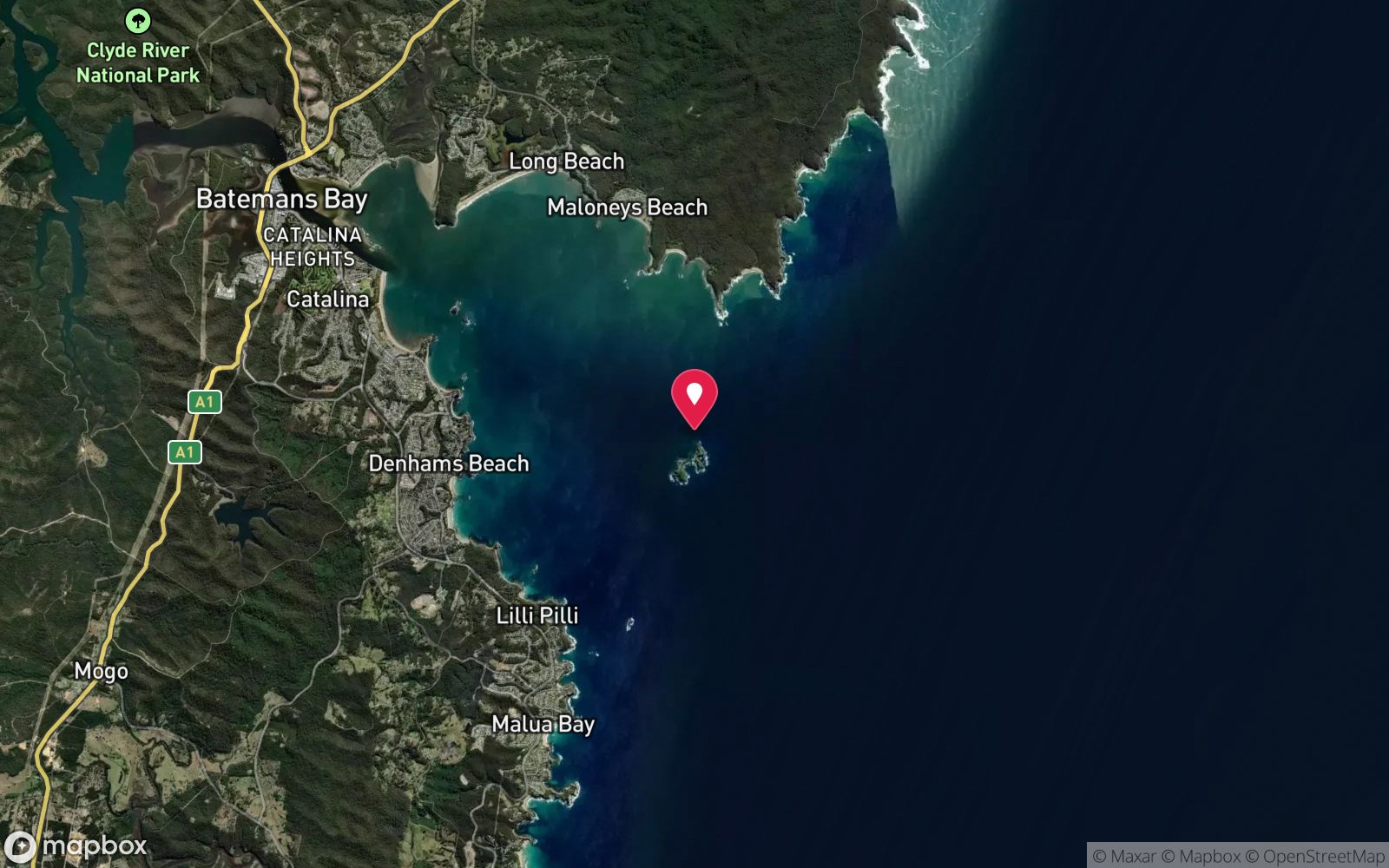
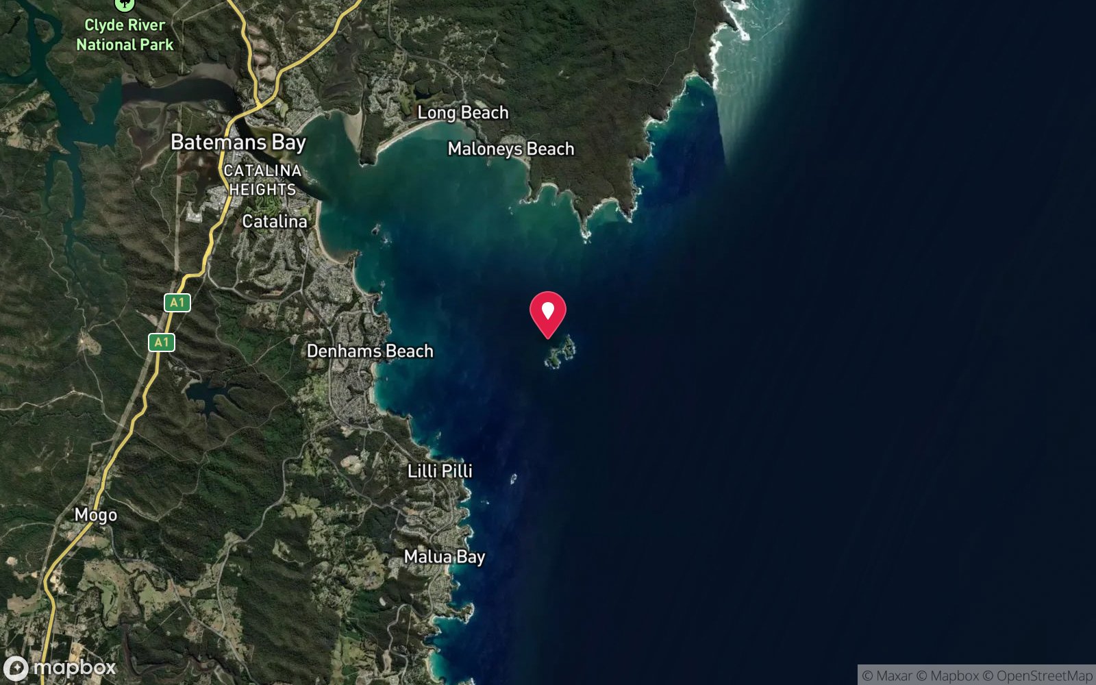
7 pinned sites. Pins marked approximate on their pages show the general area only; not for navigation.
Satellite views
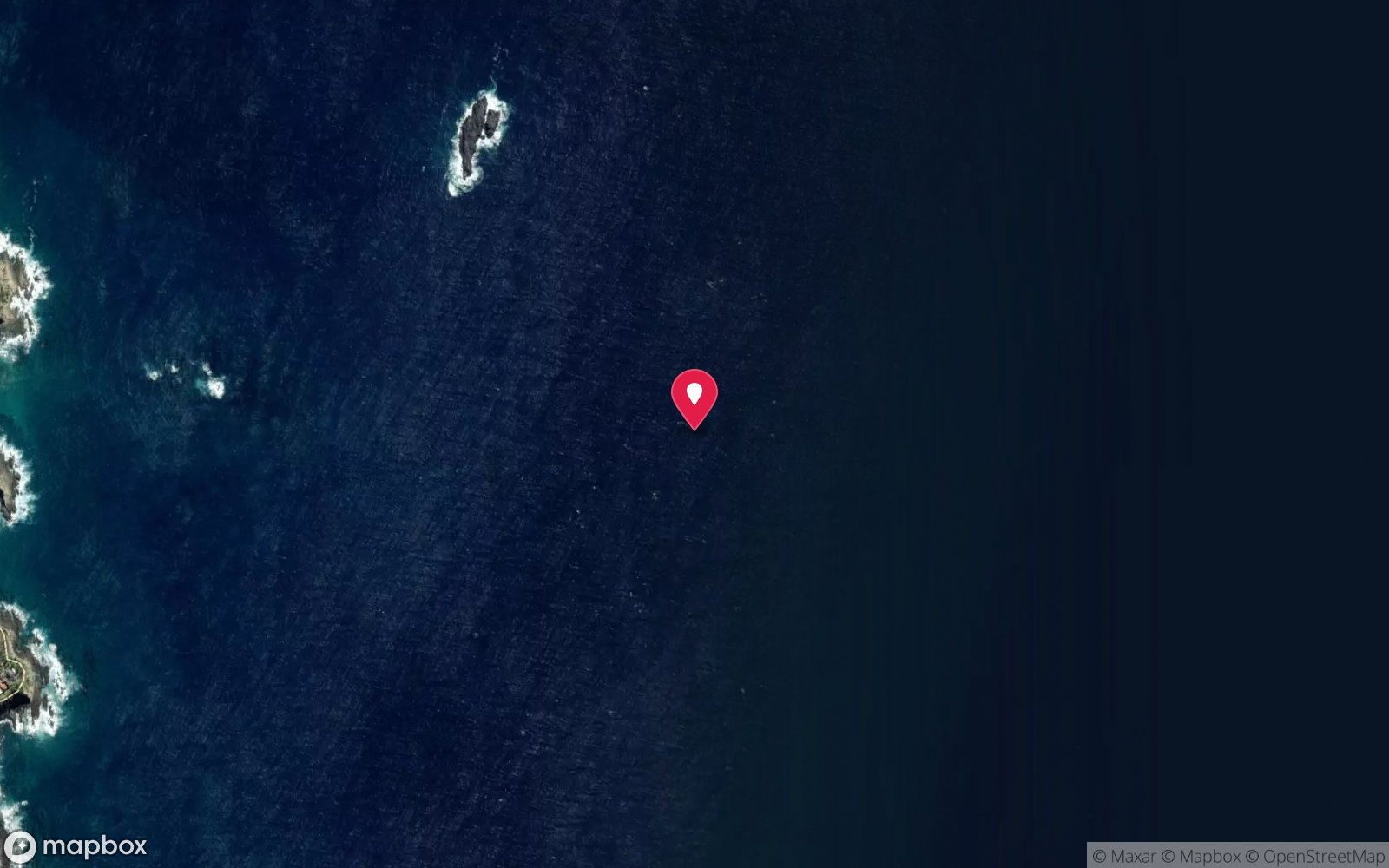
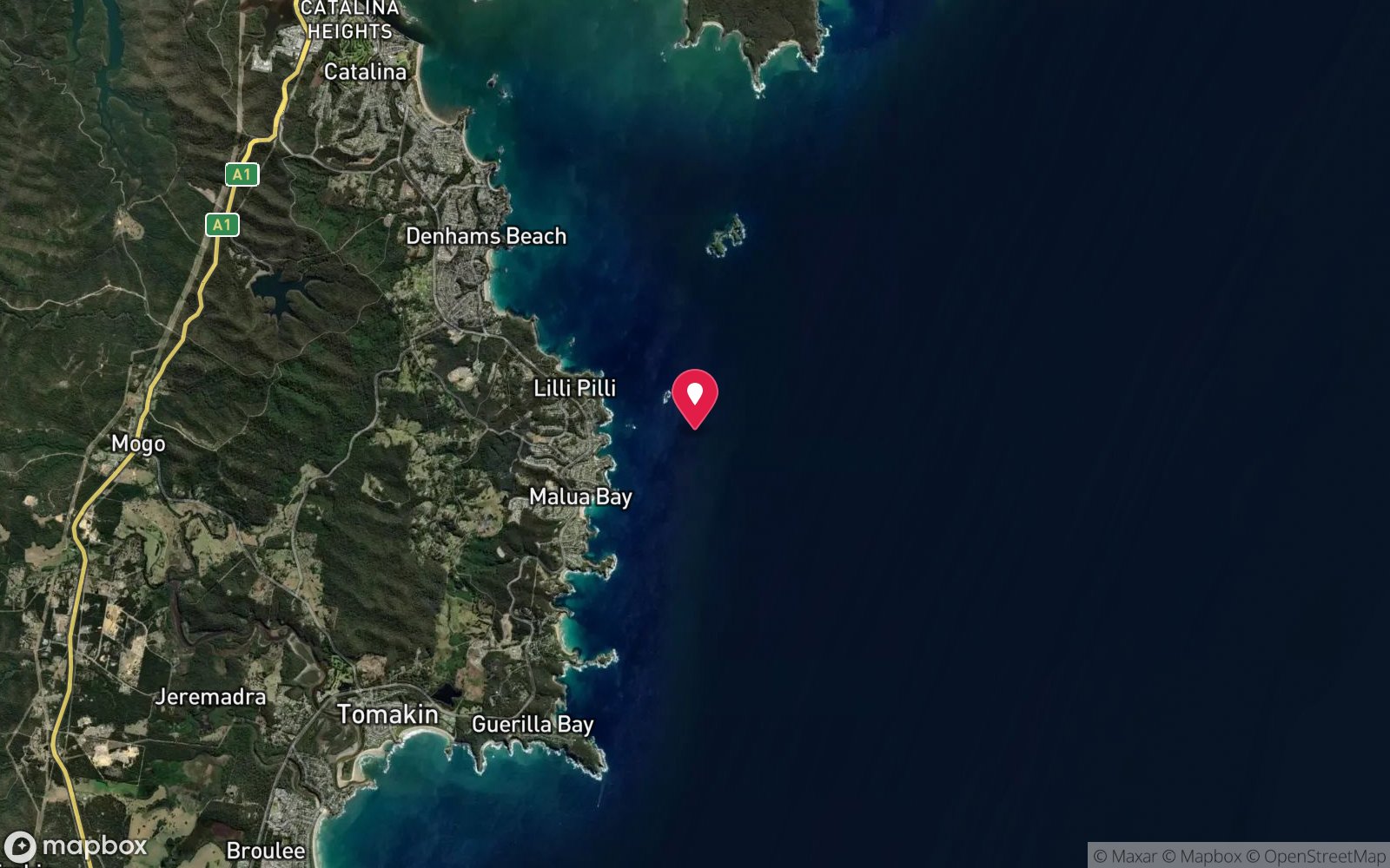
The Maze (Batemans Bay): frequently asked questions
How deep is The Maze (Batemans Bay)?
The Maze (Batemans Bay) reaches a maximum depth of 30 m, with the shallowest part at about 18 m; most of the dive is spent around 25 m.
What certification do I need to dive The Maze (Batemans Bay)?
Advanced Open Water is the recommended minimum. At more than 25 m this counts as a deep dive: watch no-decompression limits and gas. Rated intermediate because of depth beyond 18 m, boat traffic overhead, cold water.
Can I shore dive The Maze (Batemans Bay)?
No, it is reached by boat (about 15 minutes). A dive centre is required: boat access only.
When is the best time to dive The Maze (Batemans Bay)?
Autumn and early winter.
What marine life will I see at The Maze (Batemans Bay)?
Regularly recorded: Sponges (diverse, colourful), sea squirts, gorgonians, bryozoans, nudibranchs, yellowtail, sweep, one-spot pullers, red morwong, blue groper, eastern blue devilfish, kingfish (summer).
What wetsuit do I need at The Maze (Batemans Bay)?
7 mm wetsuit with hood most of the year (5 mm adequate Feb–Apr); semi-dry or drysuit and gloves Jul–Oct.
How cold is the water at The Maze (Batemans Bay)?
Typically 20–22 °C in summer and 13–15 °C in winter.
What are the main hazards at The Maze (Batemans Bay)?
Depth to 30 m. See the hazards section above for the full list.
Where is the nearest recompression chamber to The Maze (Batemans Bay)?
Prince of Wales Hospital Hyperbaric Unit (Randwick, Sydney). In an emergency call 000, then DAN Asia-Pacific on 1800 088 200.
Diving in Batemans Bay
Batemans Bay sits at the centre of the Batemans Marine Park, with the Tollgate Islands just outside the bay and a run of headlands and islands to the south. The Tollgates have caves, grey nurse sharks and fur seals; Burrewarra Point and Broulee Island are shore-accessible reefs; Guerilla Bay and Maloneys Beach are sheltered beginner sites.
Getting there: Four hours south of Sydney or two from Canberra. Charters from Batemans Bay run the Tollgates and Montague Island on longer days; shore sites have beach or rock entries.
Sources
Data confidence: Medium · Being verified: GPS format ambiguous in source (35°46'89"); interpreted as decimal minutes.. Last updated September 2026. Know this site better? How to send a correction
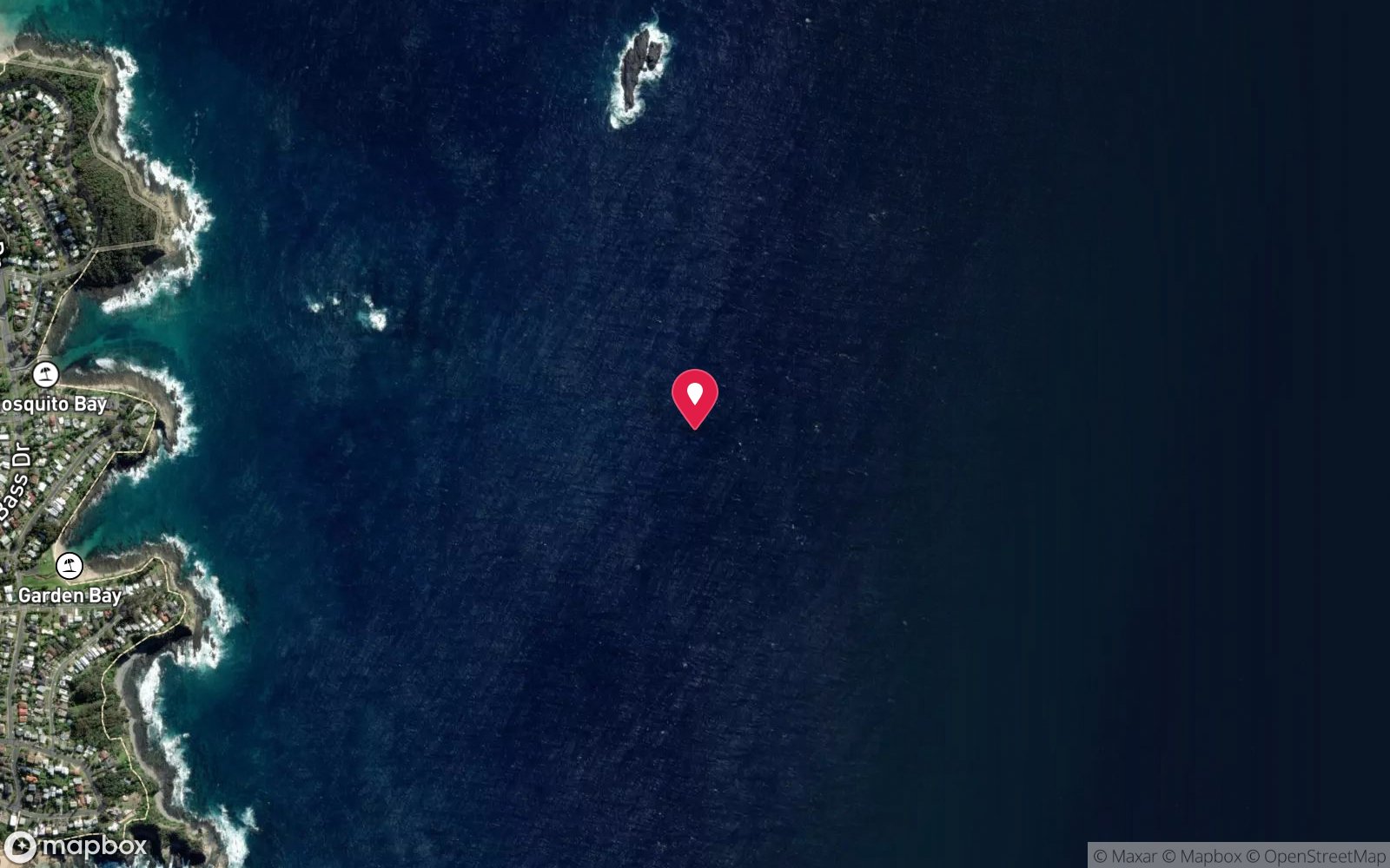
Nearby dive sites
More reef dives in New South Wales
Explore more
This region
Marine life