Dive slate · divesites.com.au · printed 8 Nov 2026
General Picton (Fosters Island)
Tasmania North-East, Tasmania · near Gladstone
| Depth | 5–25 m |
|---|---|
| Minimum level | Wreck specialty recommended |
| Difficulty | Advanced |
| Access | Boat (day trip) |
| Entry | Back roll or giant stride from a small boat (live-boat drop and pick-up is the local norm) |
| Current | Strong |
| Visibility | 8-15 m |
| Water | summer 15-18 °C, winter 11-13 °C |
| Suit | 7 mm wetsuit with hood, gloves and boots (or semi-dry); drysuit common, especially May-October |
| Best season | Late summer-autumn (February-April) in settled weather |
| Bottom time | 30 min |
| Position | -40.73500, 147.98500 (approximate) |
| Permit | No permit to dive. Wreck is protected under the Commonwealth Underwater Cultural Heritage Act 2018 and Tasmanian Historic Cultural Heritage Act (over 75 years old): do not disturb or remove anything. Tasmania currently has no declared shipwreck protected zones. |
| Nearest chamber | Royal Hobart Hospital Hyperbaric Medicine Unit (Hobart) - the only chamber in Tasmania; Launceston has none. DAN emergency hotline 1800 088 200 |
| Emergency | 000 · DAN Asia-Pacific diving emergency 1800 088 200 |
General Picton (Fosters Island)
Also known as General Picton wreck
Swim-throughs among the iron plates of an 1888 four-master against a Bass Strait reef.
Near Gladstone · Tasmania North-East, Tasmania
- Depth
- 5–25 m
- Minimum level
- Wreck specialty recommended
- Access
- Boat (day trip)
- Boat ride
- ~25 min
- Water
- 15-18 °C
- Visibility
- 8-15 m
General Picton (Fosters Island)5–25 m · Wreck specialty recommended
Dive factsDepths, conditions, location & safety
Season
Off-peak nowBest months: January, February, March, April, May, December.
Late summer-autumn (February-April) in settled weather
- Best months
- Now (November)
Dive facts
- Depth
- 5–25 m
- Typical depth
- 15 m
- Certification
- Wreck specialty recommended
- Difficulty
- Advanced
- Depth tier
- Advanced Open Water (18–30 m)
- Access
- Boat (day trip)
- Offshore
- 1 km
- Dive centre needed
- Yes – boat access only
- Shore / independent
- No
- Boat ride
- ~25 min
- Current
- Strong
- Visibility
- 8-15 m
- Water temp (summer)
- 15-18 °C
- Water temp (winter)
- 11-13 °C
- Water
- Cold Temperate
- Bottom time
- 30 min
- Dive traffic
- Rarely dived (private boat/club only)
- Night dive
- No
- Snorkel friendly
- No
Exposure suit
7 mm wetsuit with hood, gloves and boots (or semi-dry); drysuit common, especially May-October
Location
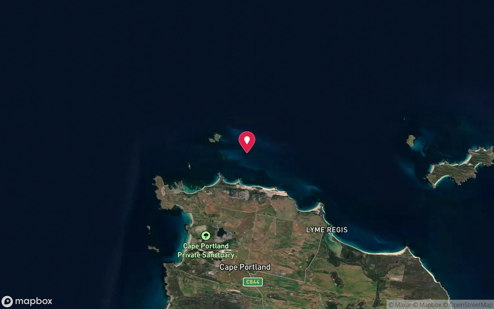
Cape Portland & Swan Island
-40.73500, 147.98500
Approximate position — not for navigation.
Open in Google MapsPrimary source: marinelife.org.auMarine park & permits
No permit to dive. Wreck is protected under the Commonwealth Underwater Cultural Heritage Act 2018 and Tasmanian Historic Cultural Heritage Act (over 75 years old): do not disturb or remove anything. Tasmania currently has no declared shipwreck protected zones.
Nearest recompression chamber
Royal Hobart Hospital Hyperbaric Medicine Unit (Hobart) - the only chamber in Tasmania; Launceston has none. DAN emergency hotline 1800 088 200
Diving emergency: call 000, then DAN AP 1800 088 200.
Trip planner
Build a trip around General Picton (Fosters Island) →
A day-by-day plan for Tasmania North-East with this site locked in.
This guide is a planning aid. Conditions change daily — confirm with a local dive centre and dive within your training. Data & safety notes.
Dive profile
How this site rates
Scores are computed from the recorded data, not opinions. How?
At a glance
General Picton (Fosters Island) is a wreck boat dive in Tasmania North-East, TAS, 5–25 m, suited to Wreck specialty recommended divers, strong current, about 25 minutes by boat.
Rated advanced because of depth beyond 18 m, strong current, an overhead environment, cold water.
Why dive here
- Swim-throughs among the iron plates of an 1888 four-master against a Bass Strait reef.
- Sunk in 1888; protected as underwater cultural heritage, so look but do not touch.
- Rarely dived: expect to have the site to yourself, and plan your own logistics.
Conditions to avoid
- Afternoon north-easterlies
- Any time other than slack water
About General Picton (Fosters Island)
The General Picton was a four-masted iron sailing ship of 1660 gross tons, built in 1883 at Port Glasgow and measuring 258 x 38 x 23 ft. She was wrecked on 23 July 1888 at Fosters Island. The Marine Life Network guide rates the wreck 8 out of 10: steel plates create swim-throughs, the wreck lies scenically against a dangerous reef in 5-25 m, and crayfish were historically abundant along with small marine life in the crevices.
The guide notes that it is a historic wreck from which nothing may be removed, that it is a slack-water dive best done on a rising tide, and that a high point about 100 m away is visible for orientation. Treat the depths, positions and conditions given here as a starting point, and confirm them with local divers and a depth sounder before committing to a dive.
The far north-east corner of Tasmania, from Eddystone Point to Cape Portland and Swan Island, is one of the most remote stretches of the state's coast. Roads north of St Helens and around Gladstone are partly gravel, the nearest shops are at Gladstone, Derby or Bridport, and there are no dive services at all. The Marine Life Network guide, written from the experience of Launceston divers, is still the only detailed published account of most of these sites.
Where Bass Strait meets the Tasman Sea around Cape Portland and the Swan Island group, tidal streams run hard, and the guide repeatedly stresses slack water, safety lines and experienced boat handlers for the wreck sites. The Royal Hobart Hospital chamber is five hours or more away by road, so any diving here should be conservative and planned with an evacuation route in mind.
Wreck details
Four-masted iron ship, 258 ft (79 m), 1660 gross tons, built 1883 Port Glasgow · Sunk 1888 · Protected historic shipwreck
Era: colonial sail and steam. Oldest wrecks · Wartime wrecks · Scuttled warships
Other wrecks of the same era
- Devonport Breakwater · Max 4 m · Tasmania North & North-West
- SS Southern Cross (Boat Rock) · Max 12 m · Tasmania North & North-West
- SS Esk (Hebe Reef) · Max 6 m · Tasmania North & North-West
- Asterope (Hebe Reef) · Max 4 m · Tasmania North & North-West
- SS Tasman · Max 72 m · Tasman Peninsula
- SS Devon (Hells Gates) · Max 3 m · Tasmania West Coast
Getting there & entry
Wreck of the four-masted iron ship General Picton (1888) against a dangerous reef at Fosters Island near Cape Portland, with steel plates forming swim-throughs.
Launch at the Little Musselroe River or Musselroe Bay and run west-north-west past Cape Portland to Fosters Island, about 25-30 minutes. The Marine Life Network guide recommends diving on a rising tide at slack water. There are no marinas or fuel on this coast apart from the towns named, so carry spare fuel, a VHF radio and an EPIRB, leave a trip plan ashore, and check MAST boating advice; many north-coast ramps are shallow at low tide, and a 4WD tow vehicle is a real advantage.
Entry: Back roll or giant stride from a small boat (live-boat drop and pick-up is the local norm)
Facilities: None nearby.
Weather, swell & tides
The Cape Portland and Swan Island area lies where Bass Strait meets the Tasman Sea: strong tidal streams run through the passages and between the islands, and wind against tide creates steep, dangerous seas. Diving is only practical at slack water in light winds; westerly swell and strong easterlies both make the area unworkable. Slack water dive; a rising tide is recommended.
Use the Bureau of Meteorology coastal forecast for the North East Coast and Banks Strait, and check tide times for the nearest standard port before planning the run.
Best season: Late summer-autumn (February-April) in settled weather
If it's blown out
Sheltered or shore sites within 25 km that often work when General Picton (Fosters Island) doesn't.
- Fosters Island · 1 km · Max 6 m
- Mayfield (Swan Island wreck) · 12 km · Max 9 m
How the dive is usually run
Descend at slack water near the reef, explore the steel plates and swim-throughs from 5 m down to about 25 m, and leave the site before the current builds. Turn the dive at half gas (thirds where current or overhead sections are involved), deploy an SMB before surfacing for the live-boat pick-up, and complete a 3-minute safety stop at about 5 m where depth allows.
Marine life
- Crayfish
- small crevice life
- encrusting invertebrates
- wrasse
- leatherjackets
Linked species have their own page listing every site where they are recorded. All marine life →
Training required
Beyond 18 m an Advanced certification (which includes a deep dive to 30 m) is the accepted minimum. Anything past 25 m is a deep dive in practice.
Courses that help here
- Drift Diver – Current is a feature of the dive.
- Drysuit Diver – Cold water; locals dive dry for much of the year.
Depth tiers: 0–10 m easy · to 18 m Open Water · 18–30 m Advanced (25 m+ is a deep dive) · 30–40 m Deep specialty · 40 m+ technical. All courses
Hazards & warnings
Strong tidal current - slack water only; reef and swell; remote; overhead sections in swim-throughs.
Dive centres that go here
No commercial operator. Dived occasionally by Launceston clubs and Tasmanian Divers (Launceston) groups, and by private boats and cray divers. Remote - full self-sufficiency required.
Operators recorded for General Picton (Fosters Island)
Tasmanian Divers North
ListedLaunceston · Tasmania North & North-West · TAS
A northern Tasmanian operation serving the Bass Strait coastline and local diving community.
tasdivers.com.au · (03) 6229 1020
Tas Uni Dive Club
Named by sitesMount Nelson · Tasmania East Coast · TAS
University dive club, not a shop; gear hire Thursdays 6-6:30pm.
tudc.org.au
Other dive centres in Tasmania North-East
Map
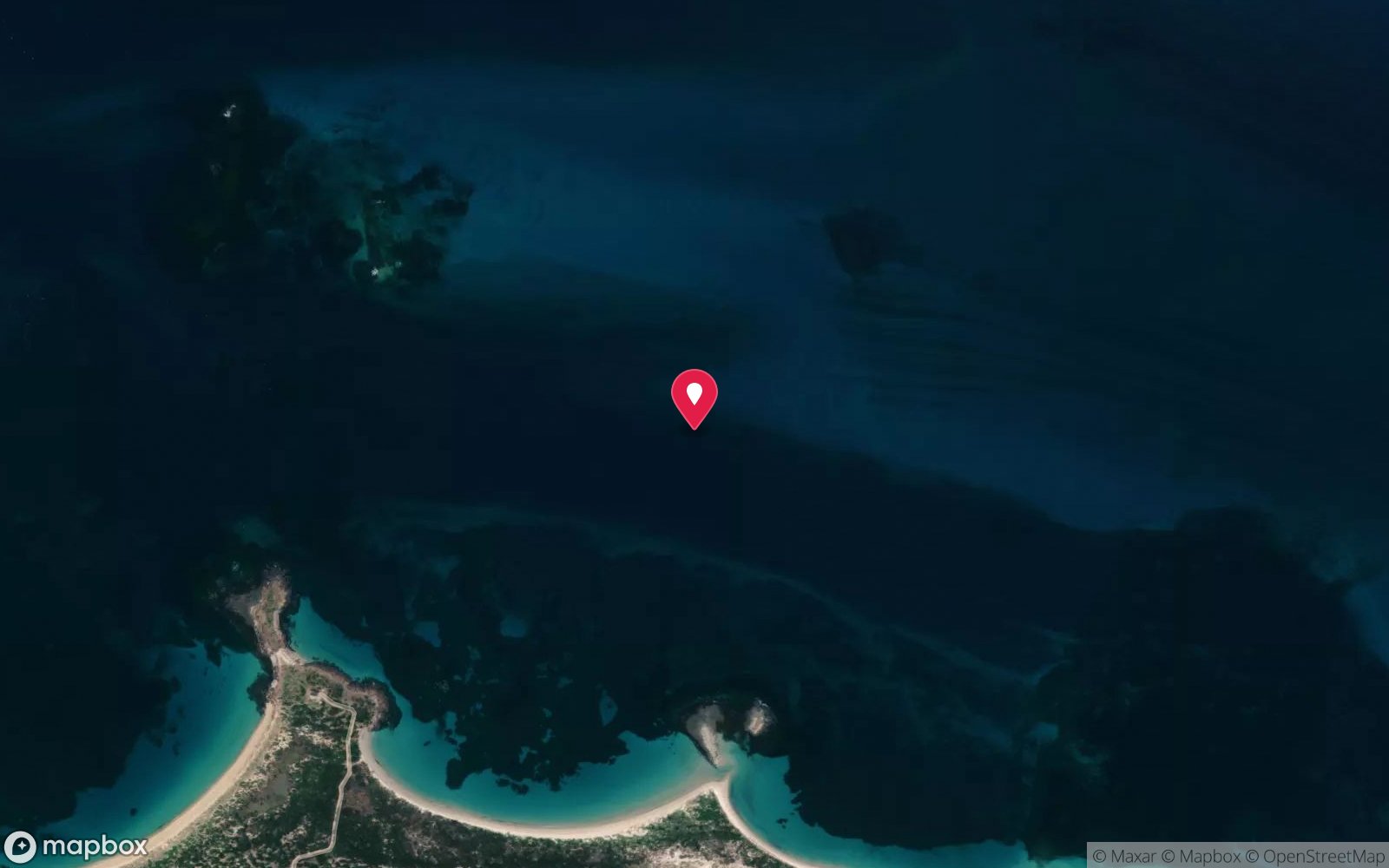
7 pinned sites. Pins marked approximate on their pages show the general area only; not for navigation.
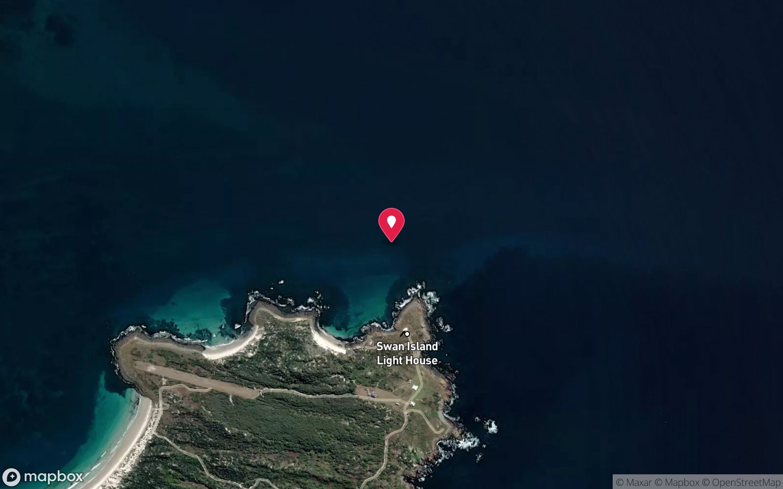
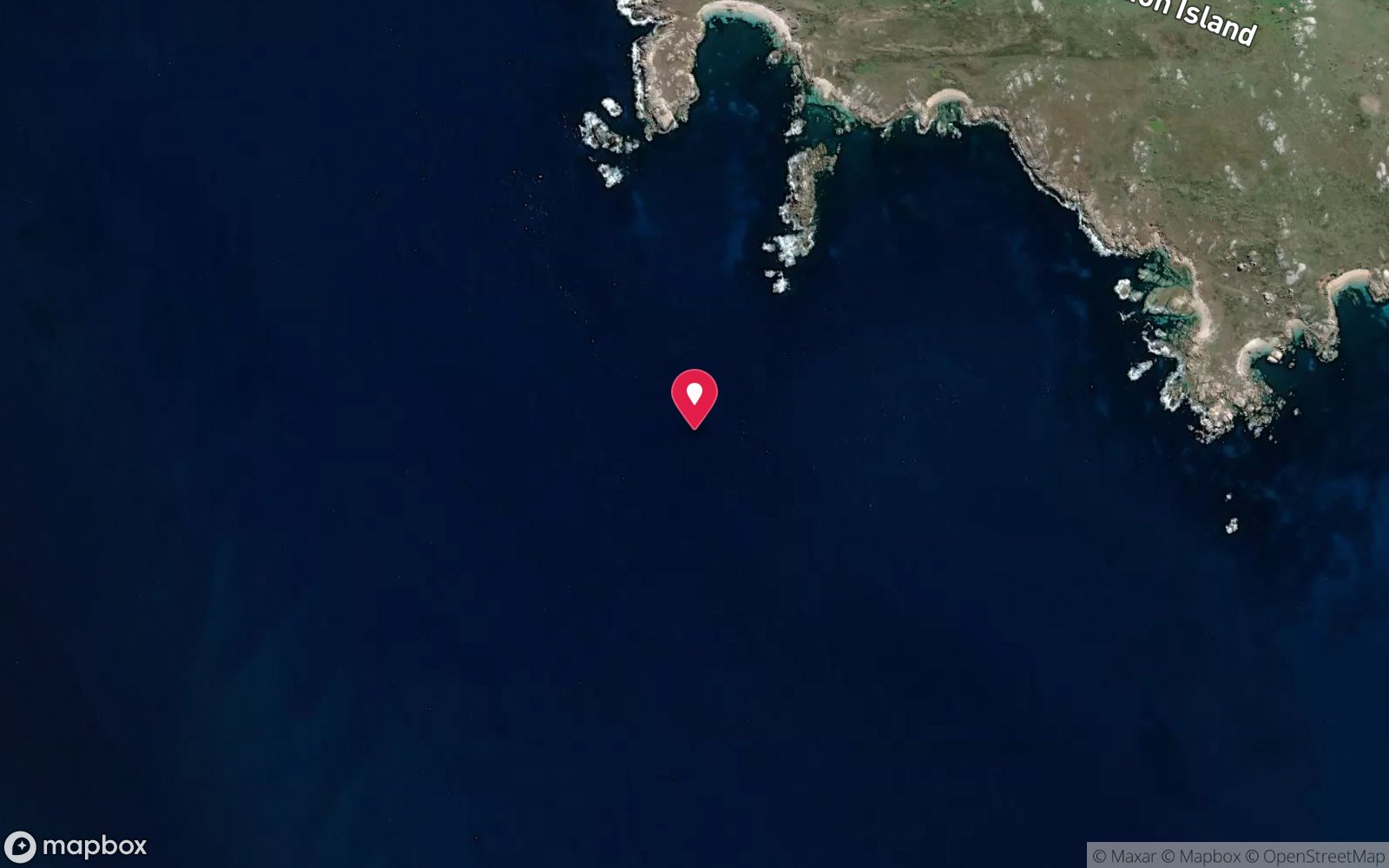
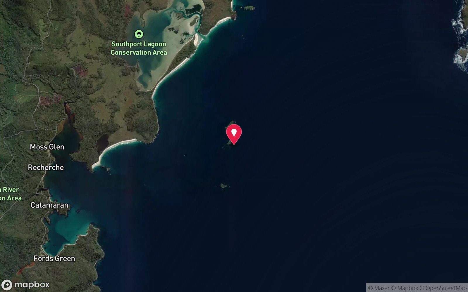
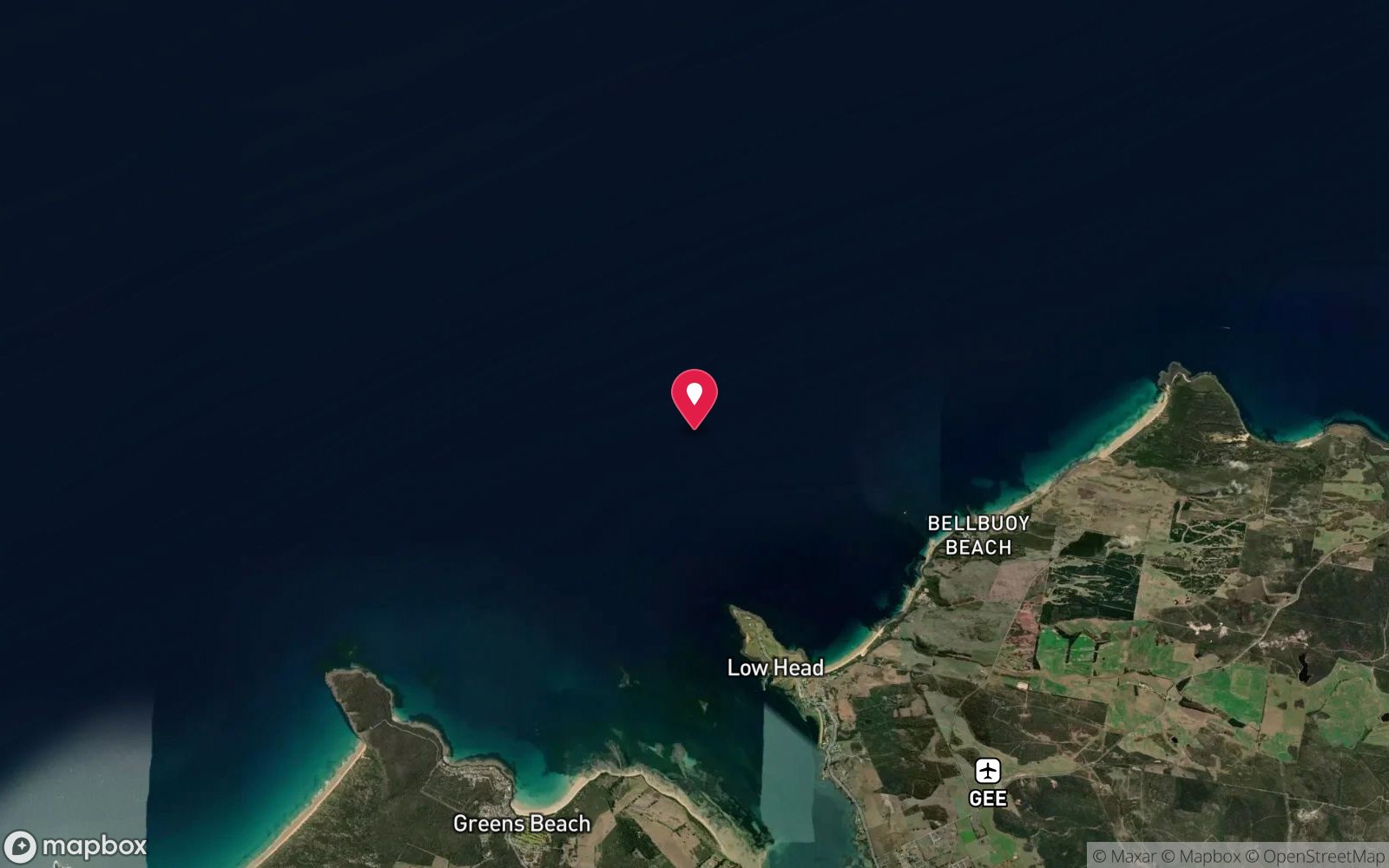
Satellite views
General Picton (Fosters Island): frequently asked questions
How deep is General Picton (Fosters Island)?
General Picton (Fosters Island) reaches a maximum depth of 25 m, with the shallowest part at about 5 m; most of the dive is spent around 15 m.
What certification do I need to dive General Picton (Fosters Island)?
Wreck specialty recommended is the recommended minimum. Rated advanced because of depth beyond 18 m, strong current, an overhead environment, cold water.
Can I shore dive General Picton (Fosters Island)?
No, it is reached by boat (about 25 minutes). A dive centre is required: boat access only.
When is the best time to dive General Picton (Fosters Island)?
Late summer-autumn (February-April) in settled weather.
What marine life will I see at General Picton (Fosters Island)?
Regularly recorded: Crayfish, small crevice life, encrusting invertebrates, wrasse, leatherjackets.
What wetsuit do I need at General Picton (Fosters Island)?
7 mm wetsuit with hood, gloves and boots (or semi-dry); drysuit common, especially May-October.
How cold is the water at General Picton (Fosters Island)?
Typically 15-18 °C in summer and 11-13 °C in winter.
What are the main hazards at General Picton (Fosters Island)?
Strong tidal current - slack water only; reef and swell; remote; overhead sections in swim-throughs. See the hazards section above for the full list.
Where is the nearest recompression chamber to General Picton (Fosters Island)?
Royal Hobart Hospital Hyperbaric Medicine Unit (Hobart) - the only chamber in Tasmania; Launceston has none. DAN emergency hotline 1800 088 200. In an emergency call 000, then DAN Asia-Pacific on 1800 088 200.
Diving in Tasmania North-East
The north-east corner around St Helens, Binalong Bay and the Bay of Fires has orange lichen-covered granite above water and kelp, sponge and sea whips below, with the wrecks of the Blencathra and others around Georges Bay. The area has been hit hard by long-spined urchins, but the deeper reefs remain rich.
Getting there: Two and a half hours from Launceston. Shore dives from the Bay of Fires beaches; occasional charters from St Helens.
All Tasmania North-East dive sites and a suggested itinerary →
Sources
Data confidence: Low · Being verified: Single older source; coordinates approximate.. Last updated September 2026. Know this site better? How to send a correction