Dive slate · divesites.com.au · printed 9 Nov 2026
Mandeville Road, Summerlands
Phillip Island & Western Port, Victoria · near Summerlands / Cowes
| Depth | 2–12 m |
|---|---|
| Minimum level | Advanced Open Water |
| Difficulty | Advanced |
| Access | Boat |
| Entry | Giant stride from an anchored boat; no shore access (penguin reserve) |
| Current | Moderate |
| Visibility | 8-15 m |
| Water | summer 17-20 °C, winter 11-14 °C |
| Suit | 7mm semi-dry with hood and gloves, or drysuit; drysuit preferred May-Nov |
| Best season | Year-round; late summer to autumn (Feb-May) gives the calmest seas, warmest water and best visibility |
| Bottom time | 40 min |
| Position | -38.51597, 145.13746 (GPS) |
| Permit | None known |
| Nearest chamber | The Alfred (Melbourne) |
| Emergency | 000 · DAN Asia-Pacific diving emergency 1800 088 200 |
Mandeville Road, Summerlands
Also known as Summerlands Reef
Dramatic basalt canyons, bommies and gullies in 2–12 m off the closed Summerland penguin reserve; a rarely dived, high-energy site for calm northerly days by boat.
Near Summerlands / Cowes · Phillip Island & Western Port, Victoria
- Depth
- 2–12 m
- Minimum level
- Advanced Open Water
- Access
- Boat
- Boat ride
- ~40 min
- Water
- 17-20 °C
- Visibility
- 8-15 m
Mandeville Road, Summerlands2–12 m · Advanced Open Water
Dive factsDepths, conditions, location & safety
Season
Off-peak nowBest months: January, February, March, April, May, December.
Year-round; late summer to autumn (Feb-May) gives the calmest seas, warmest water and best visibility
- Best months
- Now (November)
Dive facts
- Depth
- 2–12 m
- Typical depth
- 8 m
- Certification
- Advanced Open Water
- Difficulty
- Advanced
- Depth tier
- Open Water (10–18 m)
- Access
- Boat
- Offshore
- 0.2 km
- Dive centre needed
- Yes – boat access only
- Shore / independent
- No
- Boat ride
- ~40 min
- Current
- Moderate
- Visibility
- 8-15 m
- Water temp (summer)
- 17-20 °C
- Water temp (winter)
- 11-14 °C
- Water
- Temperate
- Bottom time
- 40 min
- Dive traffic
- Rarely dived (private boat/club only)
- Night dive
- No
- Snorkel friendly
- No
Exposure suit
7mm semi-dry with hood and gloves, or drysuit; drysuit preferred May-Nov
Location
Summerland Peninsula (south coast) · Phillip Island – Bass Strait
-38.51597, 145.13746
Published GPS position.
Open in Google MapsPrimary source: scubadoctor.com.auMarine park & permits
None known
Nearest recompression chamber
The Alfred (Melbourne)
Diving emergency: call 000, then DAN AP 1800 088 200.
Trip planner
Build a trip around Mandeville Road, Summerlands →
A day-by-day plan for Phillip Island & Western Port with this site locked in.
This guide is a planning aid. Conditions change daily — confirm with a local dive centre and dive within your training. Data & safety notes.
Dive profile
How this site rates
Scores are computed from the recorded data, not opinions. How?
At a glance
Mandeville Road, Summerlands is a reef boat dive in Phillip Island & Western Port, VIC, 2–12 m, suited to Advanced Open Water divers, moderate current, about 40 minutes by boat.
Rated advanced because of surge on the entry or in the shallows, cold water.
Why dive here
- Dramatic basalt canyons, bommies and gullies in 2–12 m off the closed Summerland penguin reserve; a rarely dived, high-energy site for calm northerly days by boat.
- Rarely dived: expect to have the site to yourself, and plan your own logistics.
About Mandeville Road, Summerlands
Mandeville Road is the name Scuba Doctor gives to the reef off the southern shore of Phillip Island's Summerland Peninsula, west of the Penguin Parade, after the old subdivision road that once ran to the coast before the houses were bought back and the peninsula returned to the penguins. The listing describes an impressive reef dive of large basalt formations, dramatic underwater canyons, bommies and gullies about 200 metres offshore, in 2–12 m. It is, in other words, the same columnar basalt that forms Pyramid Rock and the south-coast headlands, but here fractured into a maze of vertical-sided channels and free-standing blocks that a diver can swim through and around.
The canyon walls carry kelp on their rims and sponge, zoanthid and ascidian growth on their shaded faces; the floors are cobble and sand; and the bommies rise to within a few metres of the surface, where surge keeps them scoured. Marine life is not detailed on the listing, but the habitat is the same as Phelan Bluff a kilometre east and the neighbouring shore reefs – crayfish and abalone in the cracks, Port Jackson and draughtboard sharks in the gutters, blue devils and bullseyes under overhangs, and morwong, sweep, wrasse, boarfish and old wives over the reef – with fur seals from Seal Rocks, 3 km west, likely visitors. What sets the site apart is its combination of shallow depth and severe exposure.
There is no shore access because the peninsula is a closed penguin reserve, the reef faces directly into Bass Strait, and a boat has to come around The Nobbies or along the whole south coast to reach it, so it is dived only by private boats on exceptionally calm days. When those days come, the canyons in clear shallow water make a spectacular and photogenic dive, and the reef sits in a piece of coast that very few people ever see from the water. It requires a high level of experience and caution, as the listing says, more for the sea state and the boat handling than for the depth.
Getting there & entry
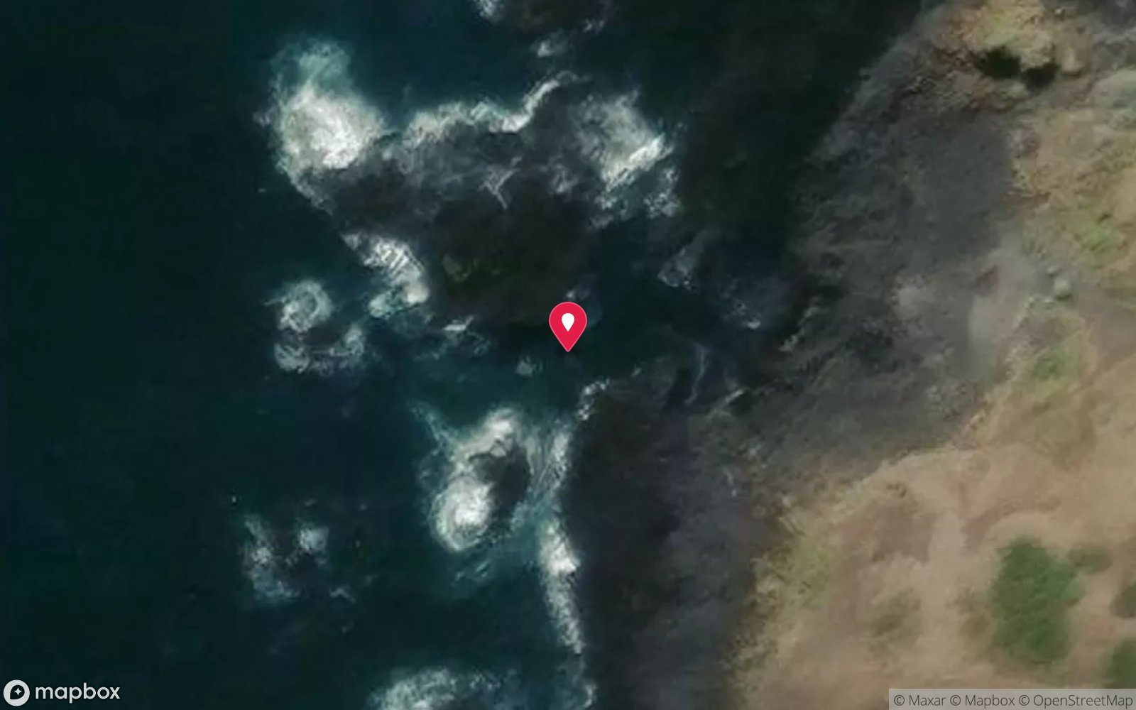
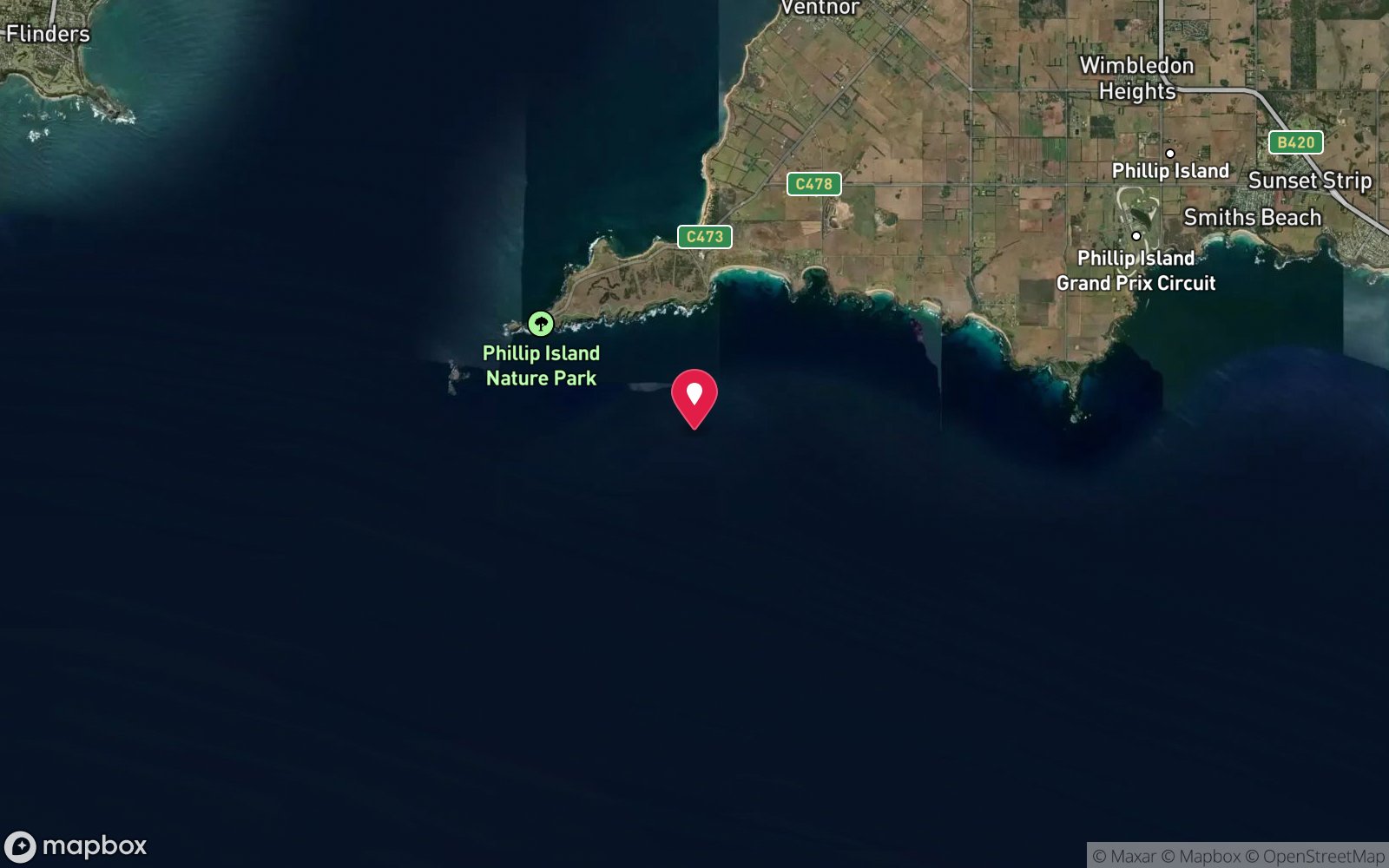
Basalt reef about 200 m off the southern coast of the Summerland Peninsula, west of the Penguin Parade, off the former Mandeville Road subdivision.
Boat access only. The nearest ramps are Cowes (Mussel Rocks) and Rhyll on the north coast; from Cowes it is about 15 km and 30–40 minutes west around Point Grant and The Nobbies, crossing the tidal race between The Nobbies and Seal Rocks near slack water, then east along the exposed south coast. From Newhaven the run west along the south coast is about 25 km.
Anchor in sand outside the reef in 12 m. Shore access is prohibited: all off-track areas of the Summerland Peninsula are closed to protect little penguin burrows.
Entry: Giant stride from an anchored boat; no shore access (penguin reserve)
Facilities: Departure from Cowes or Rhyll boat ramps (or Newhaven); No air fills on Phillip Island; nearest fills on the Mornington Peninsula (Rye/Portsea) or in Melbourne's south-east
Weather, swell & tides
Scuba Doctor describes a high energy open sea zone prone to all of the vagaries of changing Bass Strait conditions and very exposed to southerly swells; the site needs several days of calm weather with offshore northerly winds and a swell well under 1 m, entering at high tide. The boat run around The Nobbies adds a tidal constraint: the passage between Point Grant and Seal Rocks runs hard and should be crossed near slack. Late summer and autumn give the best chance.
Not a winter site.
Best season: Year-round; late summer to autumn (Feb-May) gives the calmest seas, warmest water and best visibility
If it's blown out
Sheltered or shore sites within 25 km that often work when Mandeville Road, Summerlands doesn't.
- Flinders Pier · 11 km · Max 6 m
- Phelan Bluff · 1 km · Max 12 m
- Right Point, Cat Bay · 1 km · Max 8 m
- Cowrie Beach · 2 km · Max 8 m
How the dive is usually run
Anchor outside the reef in 10–12 m and descend the line. Work inshore through the canyons and gullies between the basalt formations, keeping the boat's bearing, explore the bommies at 6–10 m, and turn at half gas or when surge in the shallows becomes uncomfortable. Return along the outer edge of the reef to the anchor and complete a safety stop on the line.
Avoid the surf zone inside 4 m.
Marine life
- Kelp
- sponges and zoanthids
- southern rock lobster
- abalone
- Port Jackson and draughtboard sharks →
- blue devils →
- bullseyes
- morwong
- sweep
- wrasse
- boarfish
- old wives
- Australian fur seals (inferred from adjacent sites) →
Linked species have their own page listing every site where they are recorded. All marine life →
Training required
Within the 18 m limit of an entry-level certification.
Courses that help here
- Drysuit Diver – Cold water; locals dive dry for much of the year.
Depth tiers: 0–10 m easy · to 18 m Open Water · 18–30 m Advanced (25 m+ is a deep dive) · 30–40 m Deep specialty · 40 m+ technical. All courses
Hazards & warnings
Very exposed to southerly swell and surge; shallow reef close to the surf zone; tidal race between The Nobbies and Seal Rocks on the boat run; no shore access or emergency exit – penguin reserve closed to walkers; long boat run; needs several days of calm.
Dive centres that go here
No regular operator – private boats and Melbourne club boats on rare calm days only.
Operators recorded for Mandeville Road, Summerlands
The Scuba Doctor
ProfiledRye · Melbourne & Port Phillip Bay · VIC
A Victorian equipment and service business with an extensive retail presence, located to serve both Melbourne and Mornington Peninsula divers.
scubadoctor.com.au · (03) 5985 3322
Scubabo Dive Victoria (Dive Victoria Group)
Named by sitesQueenscliff · Port Phillip Heads · VIC
Rebranded as Scubabo Dive Victoria, Queenscliff; dive.scubabo.com is live for 2026 with active charter bookings.
dive.scubabo.com · (03) 5258 1188
VSAG
Named by sitesWilsons Promontory · VIC
Victorian Sub-Aqua Group, a non-commercial dive club (est. 1954), not a shop or charter.
vsag.org.au
Ocean Adventures Phillip Island
Named by sitesCowes · Phillip Island & Western Port · VIC
Thundercat/jet boat eco tours plus guided snorkel and sea-scooter dive tours; booth in Cowes, van at San Remo.
oceanadventures.co · 0433 137 320
Other dive centres in Phillip Island & Western Port
Wildlife Coast Cruises
Named by sitesCowes · Phillip Island & Western Port · VIC
Cruise/boat tour operator (seals, whales, Wilsons Prom), not a dive shop.
wildlifecoastcruises.com.au · (03) 5952 9500
Southern Ocean Exploration
Named by sitesPort Phillip Heads · VIC
Non-profit wreck exploration / maritime archaeology group, not a shop or charter.
soe.org.au
Melbourne University Underwater Club
Named by sitesParkville · Phillip Island & Western Port · VIC
University dive club (MUUC), not a shop; 200+ members, 110+ dives a year.
muuc.org.au
Island Dive
Named by sitesPhillip Island & Western Port · VIC
No Victorian operator named Island Dive found; the only Australian Island Dive listed is at Bribie Island, Queensland.
Map
7 pinned sites. Pins marked approximate on their pages show the general area only; not for navigation.
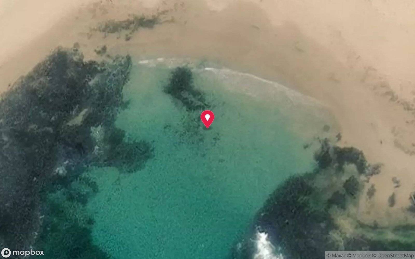
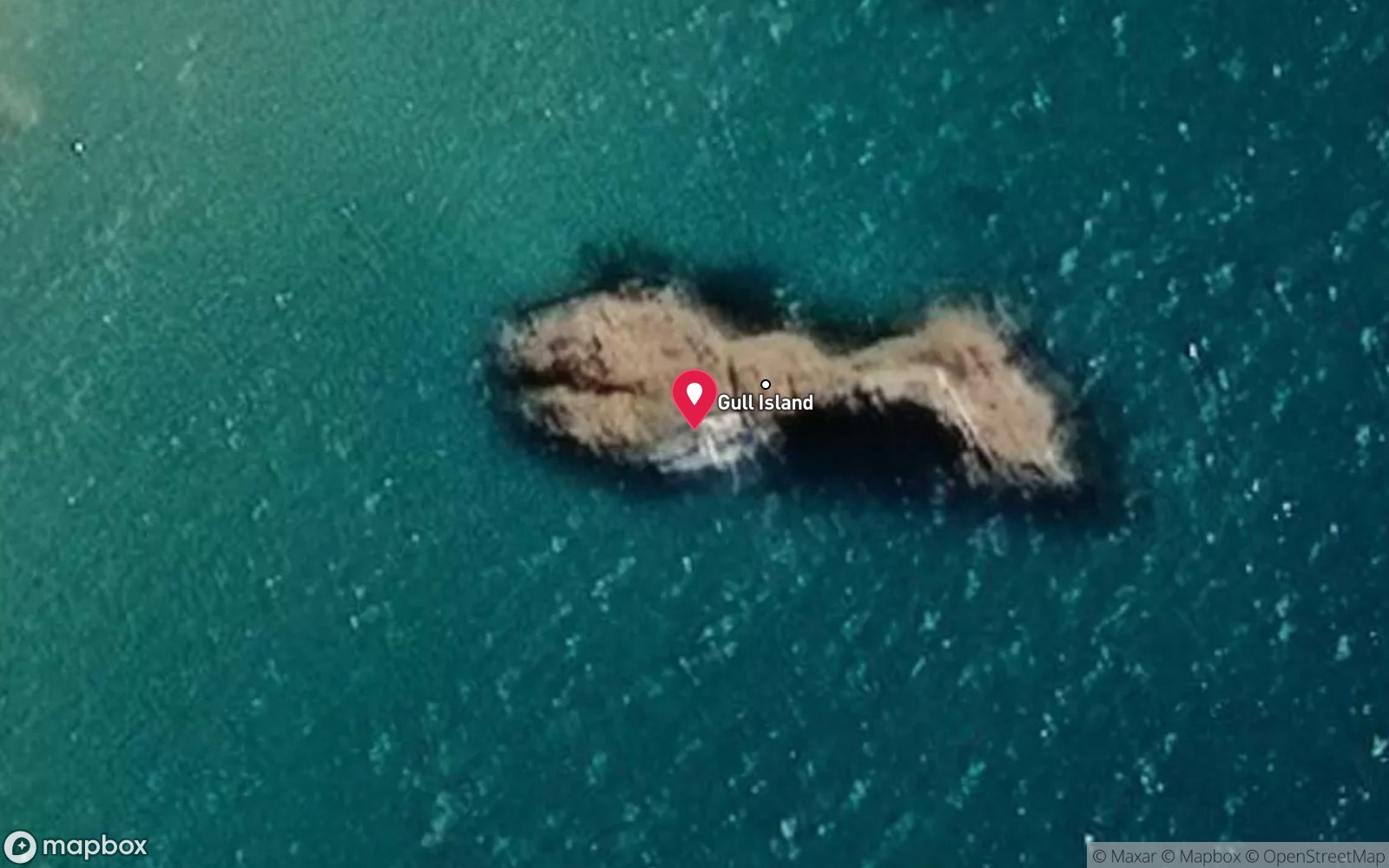
Satellite views
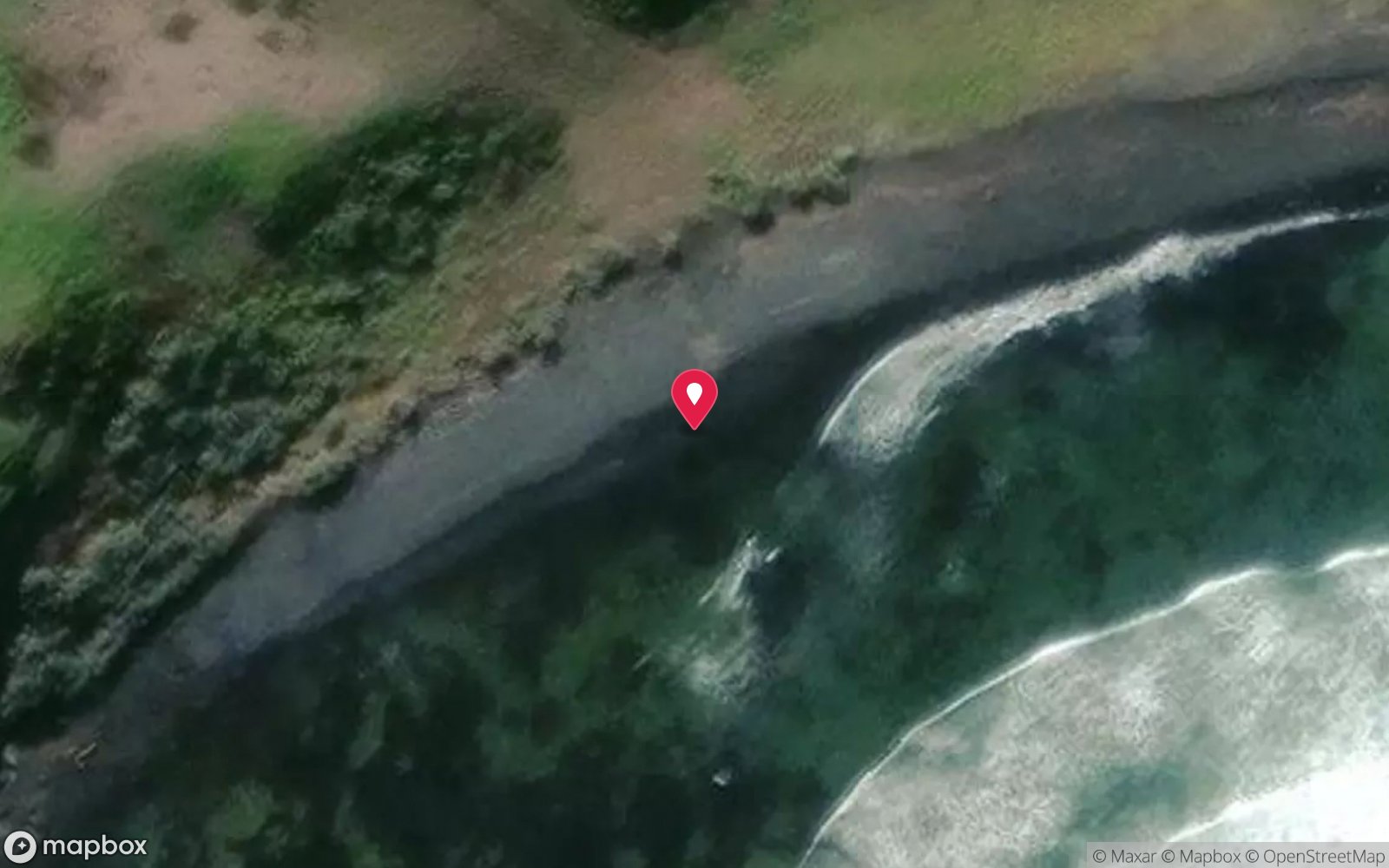
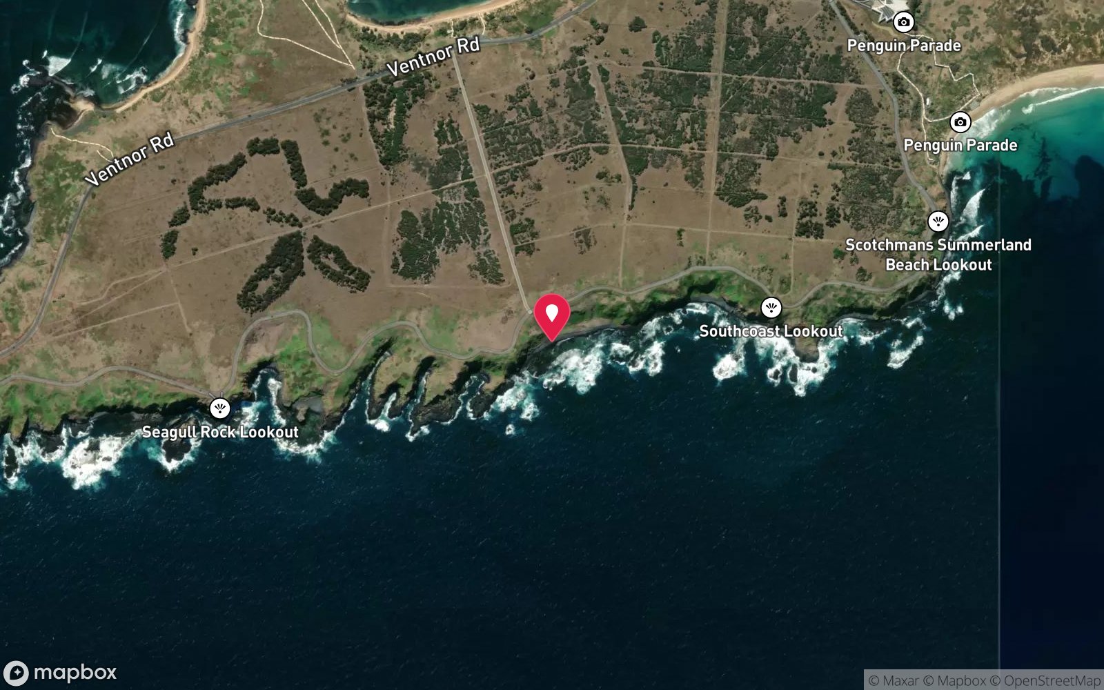
Mandeville Road, Summerlands: frequently asked questions
How deep is Mandeville Road, Summerlands?
Mandeville Road, Summerlands reaches a maximum depth of 12 m, with the shallowest part at about 2 m; most of the dive is spent around 8 m.
What certification do I need to dive Mandeville Road, Summerlands?
Advanced Open Water is the recommended minimum. Rated advanced because of surge on the entry or in the shallows, cold water.
Can I shore dive Mandeville Road, Summerlands?
No, it is reached by boat (about 40 minutes). A dive centre is required: boat access only.
When is the best time to dive Mandeville Road, Summerlands?
Year-round; late summer to autumn (Feb-May) gives the calmest seas, warmest water and best visibility.
What marine life will I see at Mandeville Road, Summerlands?
Regularly recorded: Kelp, sponges and zoanthids, southern rock lobster, abalone, Port Jackson and draughtboard sharks, blue devils, bullseyes, morwong, sweep, wrasse, boarfish, old wives and more.
What wetsuit do I need at Mandeville Road, Summerlands?
7mm semi-dry with hood and gloves, or drysuit; drysuit preferred May-Nov.
How cold is the water at Mandeville Road, Summerlands?
Typically 17-20 °C in summer and 11-14 °C in winter.
What are the main hazards at Mandeville Road, Summerlands?
Very exposed to southerly swell and surge; shallow reef close to the surf zone; tidal race between The Nobbies and Seal Rocks on the boat run; no shore access or emergency exit – penguin reserve closed to walkers; long boat run; needs several days of calm. See the hazards section above for the full list.
Where is the nearest recompression chamber to Mandeville Road, Summerlands?
The Alfred (Melbourne). In an emergency call 000, then DAN Asia-Pacific on 1800 088 200.
Diving in Phillip Island & Western Port
Phillip Island's Pinnacles at Cape Woolamai are granite towers with fur seals, bull rays and sponge walls in 20–38 m; Flinders Pier and Crawfish Rock in Western Port have seadragons and tidal sponge gardens; and the north coast of the island around Cowes and Ventnor has easy shore dives and the Kitty wreck.
Getting there: Two hours from Melbourne. Charters from Cowes and Rhyll; Flinders Pier is a walk-in shore dive.
All Phillip Island & Western Port dive sites and a suggested itinerary →
Sources
Data confidence: Low · Being verified: Marine life inferred; boat route/time estimated. Last updated September 2026. Know this site better? How to send a correction
Nearby dive sites
More reef dives in Victoria
Explore more
This region
Marine life