Dive slate · divesites.com.au · printed 8 Nov 2026
North Michaelmas Island
Albany & Great Southern, Western Australia · near Albany
| Depth | 1–18 m |
|---|---|
| Minimum level | Open Water |
| Difficulty | Intermediate |
| Access | Boat (day trip) |
| Entry | Giant stride or back roll from charter/private boat |
| Current | Mild |
| Visibility | 10-20 m |
| Water | summer 19-21 °C, winter 14-16 °C |
| Suit | 7 mm wetsuit with hood, or drysuit in winter |
| Best season | Late summer to autumn (February-May) for the calmest seas and clearest water |
| Bottom time | 50 min |
| Position | -35.04100, 118.03500 (approximate) |
| Permit | Michaelmas Island Nature Reserve (no landing without DBCA authorisation); waters not in a marine park. |
| Nearest chamber | Fiona Stanley Hospital Hyperbaric Medicine Unit (Murdoch, Perth) – aeromedical evacuation from Albany |
| Emergency | 000 · DAN Asia-Pacific diving emergency 1800 088 200 |
North Michaelmas Island
Also known as Michaelmas Island, North Michaelmas, North West Michaelmas
Sheltered granite walls and small caves with gorgonians and plate corals, diveable in most winds, next door to the Cheynes III wreck.
Near Albany · Albany & Great Southern, Western Australia
- Depth
- 1–18 m
- Minimum level
- Open Water
- Access
- Boat (day trip)
- Boat ride
- ~15 min
- Water
- 19-21 °C
- Visibility
- 10-20 m
North Michaelmas Island1–18 m · Open Water
Dive factsDepths, conditions, location & safety
Season
Off-peak nowBest months: January, February, March, April, May, December.
Late summer to autumn (February-May) for the calmest seas and clearest water
- Best months
- Now (November)
Dive facts
- Depth
- 1–18 m
- Typical depth
- 12 m
- Certification
- Open Water
- Difficulty
- Intermediate
- Depth tier
- Open Water (10–18 m)
- Access
- Boat (day trip)
- Offshore
- 5 km
- Dive centre needed
- Recommended
- Shore / independent
- No
- Boat ride
- ~15 min
- Current
- Mild
- Visibility
- 10-20 m
- Water temp (summer)
- 19-21 °C
- Water temp (winter)
- 14-16 °C
- Water
- Temperate
- Bottom time
- 50 min
- Dive traffic
- Moderate (occasional charters/club dives)
- Night dive
- Possible
- Snorkel friendly
- Partial
Exposure suit
7 mm wetsuit with hood, or drysuit in winter
Location
King George Sound – Michaelmas Island · Great Southern – Albany
-35.04100, 118.03500
Approximate position — not for navigation.
Open in Google MapsPrimary source: marinelife.org.auMarine park & permits
Michaelmas Island Nature Reserve (no landing without DBCA authorisation); waters not in a marine park.
Nearest recompression chamber
Fiona Stanley Hospital Hyperbaric Medicine Unit (Murdoch, Perth) – aeromedical evacuation from Albany
Diving emergency: call 000, then DAN AP 1800 088 200.
Trip planner
Build a trip around North Michaelmas Island →
A day-by-day plan for Albany & Great Southern with this site locked in.
This guide is a planning aid. Conditions change daily — confirm with a local dive centre and dive within your training. Data & safety notes.
Dive profile
How this site rates
Scores are computed from the recorded data, not opinions. How?
At a glance
North Michaelmas Island is a island boat dive in Albany & Great Southern, WA, 1–18 m, suited to Open Water divers, about 15 minutes by boat.
Rated intermediate because of boat traffic overhead, cold water.
Why dive here
- Sheltered granite walls and small caves with gorgonians and plate corals, diveable in most winds, next door to the Cheynes III wreck.
- Visibility often reaches 10-20 m.
Conditions to avoid
- Strong westerlies
- Outgoing tide or run-off after rain (poor visibility)
About North Michaelmas Island
Michaelmas Island guards the eastern side of the entrance to King George Sound, and its northern shore gives some of the most reliable reef diving close to Albany. The Marine Life Network's Albany guide describes North Michaelmas as a run of rock walls and small caves dropping from the surface to about 18 m, decorated with plate corals, gorgonian fans and sponges. Unlike the ocean side of the island, the northern face looks back into the sound and so stays diveable in most weather.
The character of the dive is classic south-coast temperate reef: granite and limestone faces covered in colourful sponges and ascidians, gutters lined with fans, and scattered patches of the flat encrusting plate coral that surprises visitors this far south. Cuttlefish are common, and large blue groper, kingfish and queen snapper cruise the reef edge; lionfish (the temperate red lionfish/butterfly cod type) are occasionally recorded. Harlequin fish, western blue devils, boarfish and schools of bullseyes shelter in the overhangs.
At the north-west end of the island there is a much shallower site, North West Michaelmas, where two limestone bommies rise from ribbon-weed seagrass in 1-6 m about 80-100 m off the cliff. It is a quick snorkel or a shallow second dive, and a good place to find squid and cuttlefish over the seagrass.
The island itself is a nature reserve with seabird colonies and a haul-out for New Zealand fur seals and Australian sea lions, so marine mammals sometimes turn up underwater. Michaelmas is usually combined on a charter with the Cheynes III wreck, which lies just off the western end of the island. The site suits Open Water divers and is a good introduction to Albany's temperate reefs before the more exposed Breaksea sites.
Getting there & entry
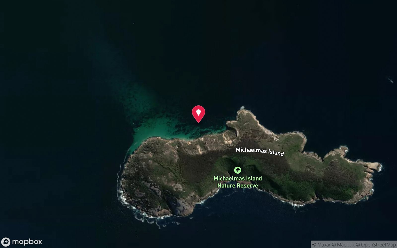
Granite and limestone reef along the northern (sound-facing) shore of Michaelmas Island, a nature reserve island near the entrance of King George Sound east of Albany.
Albany is 418 km (about 4.5 hours) south-east of Perth via Albany Highway. Charter boats and private boats launch either from the Emu Point boat ramp (Emu Point Drive, 7 km north-east of the CBD, with a large trailer car park, toilets and a fish-cleaning station) or from the town ramp beside the Albany Waterfront marina in Princess Royal Harbour, which exits into King George Sound through the harbour entrance past Possession Point. Michaelmas Island is about 6 km south-east of Emu Point (10-15 minutes).
The North Michaelmas site is about halfway along the northern shore; the shallower North West Michaelmas snorkel spot is about 300 m from the western end, 80-100 m off the steep limestone shoreline. Anchor in sand clear of the reef. Landing on the island is not permitted without authorisation because it is a nature reserve with seabird and seal colonies.
Entry: Giant stride or back roll from charter/private boat
Weather, swell & tides
King George Sound is sheltered from the Southern Ocean by Flinders Peninsula, Bald Head and Breaksea and Michaelmas Islands, which is why Albany can offer diving on days when the open coast is wild. North Michaelmas faces into the sound, so it is sheltered from the Southern Ocean swell and diveable in most winds except strong north-westerlies through to easterlies, which blow straight onto the shore. The North West Michaelmas snorkel is good in all but strong northerlies.
Summer afternoon sea breezes from the south-east are usually fine here. Visibility is generally better than on the Perth because the site is further from harbour run-off.
Best season: Late summer to autumn (February-May) for the calmest seas and clearest water
If it's blown out
Sheltered or shore sites within 25 km that often work when North Michaelmas Island doesn't.
- Athena Wreck (Ledge Point) · 3 km · Max 3 m
- Ahwina Tug Wreck (Gull Rock) · 4 km · Max 3 m
- Salmon Holes (Torndirrup) · 10 km · Max 8 m
- Mistaken Island · 10 km · Max 12 m
How the dive is usually run
Anchor in the sand off the reef edge, descend to 12-15 m and swim along the foot of the rock walls with the island on one shoulder, poking into the small caves and gorgonian-lined gutters. Turn on air or at one-third and come back shallower along the top of the reef at 5-8 m, finishing with a safety stop over the reef.
Marine life
- Blue groper →
- queen snapper
- yellowtail kingfish
- cuttlefish →
- squid →
- harlequin fish
- western blue devil →
- boarfish
- bullseyes
- scalyfin
- plate corals
- gorgonian fans
- sponges
- occasional fur seals and sea lions →
Linked species have their own page listing every site where they are recorded. All marine life →
Training required
Within the 18 m limit of an entry-level certification.
Courses that help here
- Drysuit Diver – Cold water; locals dive dry for much of the year.
Depth tiers: 0–10 m easy · to 18 m Open Water · 18–30 m Advanced (25 m+ is a deep dive) · 30–40 m Deep specialty · 40 m+ technical. All courses
Hazards & warnings
Exposed to strong NW-E winds; boat traffic; seals may approach; island is a nature reserve – no landing; cold water.
Dive centres that go here
South Coast Diving Supplies (Albany) – the town's dive shop; runs scheduled boat dives in King George Sound most weekends and on demand in summer/autumn, and issues HMAS Perth permits – Michaelmas reef sites are used as second dives and for training.
Operators recorded for North Michaelmas Island
Other dive centres in Albany & Great Southern
Perth Scuba
ProfiledCanning Vale · Perth · WA
One of the most fully documented operations in Western Australia, covering recreational, professional, technical and freediving training alongside substantial equipment facilities.
perthscuba.com · (08) 9455 4448
Bremer Bay Dive
Named by sitesBremer Bay · Albany & Great Southern · WA
Website live but last updated 2018 (1 Wellstead Rd, PADI since 1994); last TripAdvisor review March 2022 with no closure notice; Instagram as Bremer Bay Dive and Sports.
bremerbaydive.com · 0427 374 440
Geographe Maritime Charters
Named by sitesBusselton · Albany & Great Southern · WA
Site now advertises whale watching and private charters from Busselton/Dunsborough with no diving; last review 2019.
geographemaritime.com.au · 0439 626 383
Naturaliste Charters
Named by sitesDunsborough · Albany & Great Southern · WA
Whale-watching/eco charter (orca tours from Bremer Bay, whale tours from Augusta), not a dive shop.
naturalistecharters.com.au · (08) 9750 5500
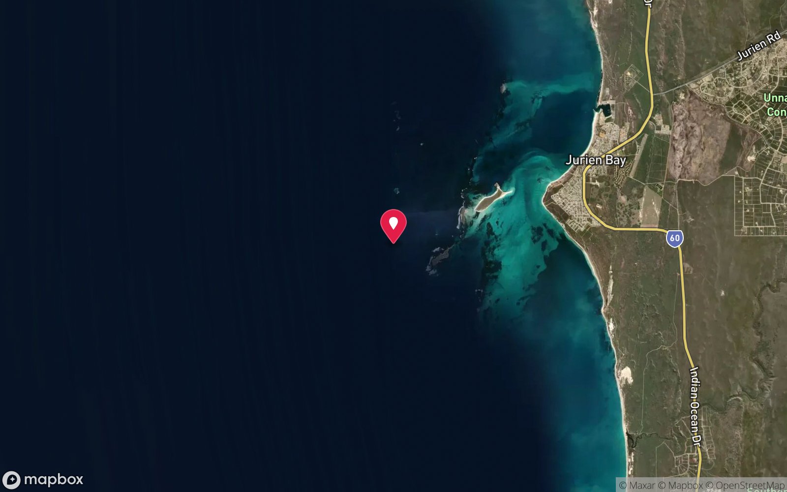
Map
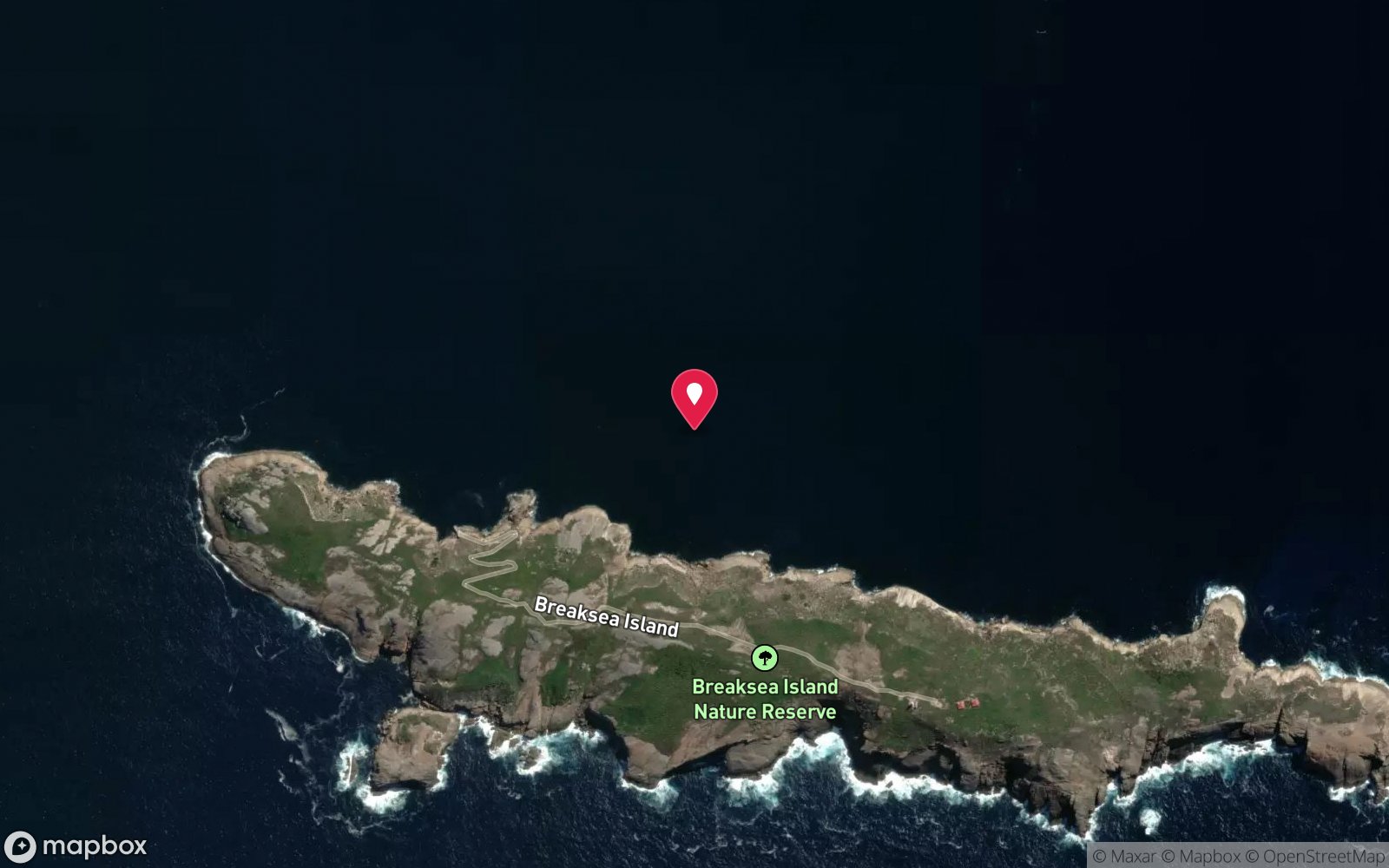
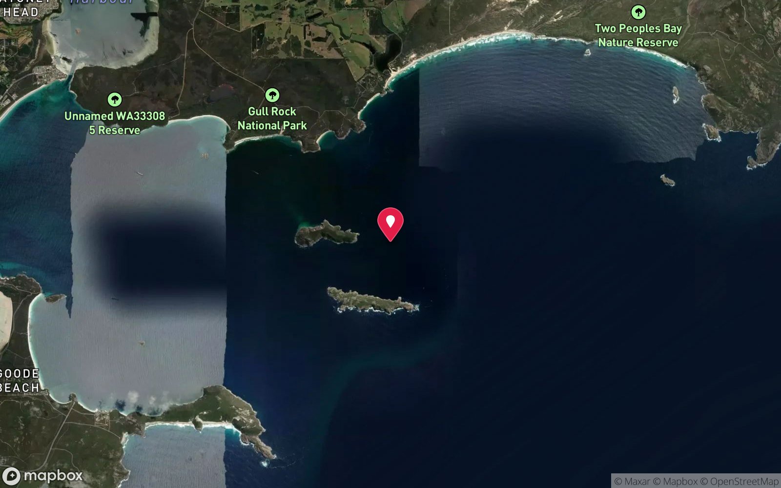
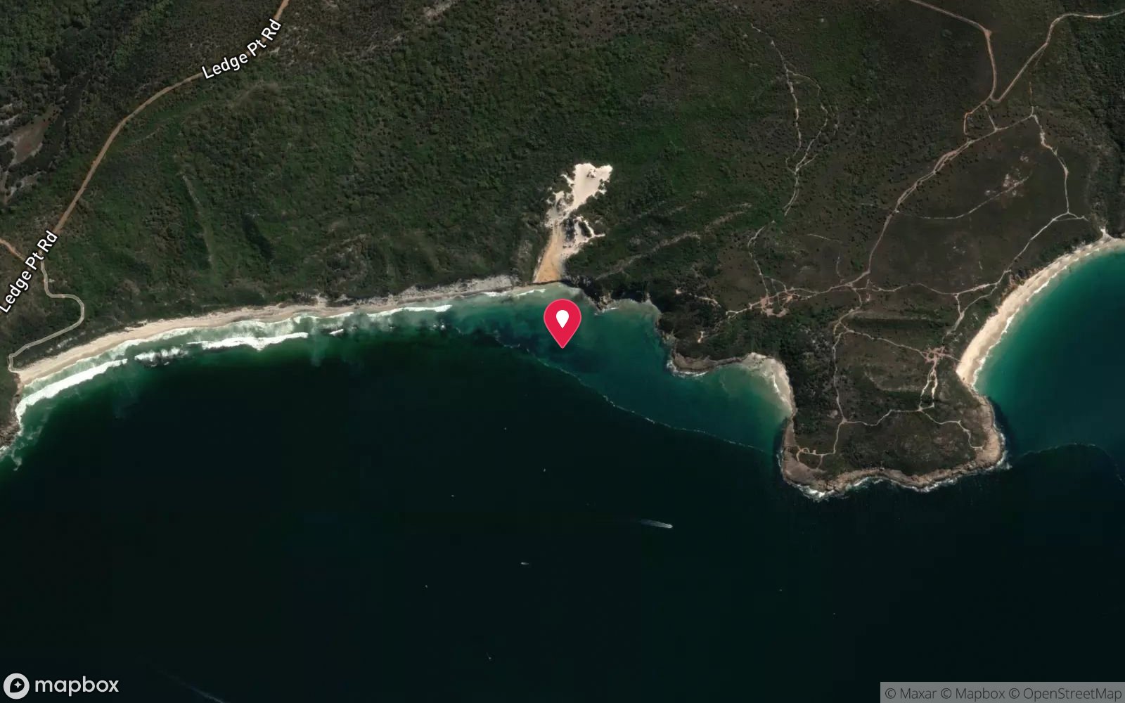
7 pinned sites. Pins marked approximate on their pages show the general area only; not for navigation.
Satellite views
North Michaelmas Island: frequently asked questions
How deep is North Michaelmas Island?
North Michaelmas Island reaches a maximum depth of 18 m, with the shallowest part at about 1 m; most of the dive is spent around 12 m.
What certification do I need to dive North Michaelmas Island?
Open Water is the recommended minimum. Rated intermediate because of boat traffic overhead, cold water.
Can I shore dive North Michaelmas Island?
No, it is reached by boat (about 15 minutes).
When is the best time to dive North Michaelmas Island?
Late summer to autumn (February-May) for the calmest seas and clearest water.
What marine life will I see at North Michaelmas Island?
Regularly recorded: Blue groper, queen snapper, yellowtail kingfish, cuttlefish, squid, harlequin fish, western blue devil, boarfish, bullseyes, scalyfin, plate corals, gorgonian fans and more.
What wetsuit do I need at North Michaelmas Island?
7 mm wetsuit with hood, or drysuit in winter.
How cold is the water at North Michaelmas Island?
Typically 19-21 °C in summer and 14-16 °C in winter.
What are the main hazards at North Michaelmas Island?
Exposed to strong NW-E winds; boat traffic; seals may approach; island is a nature reserve – no landing; cold water. See the hazards section above for the full list.
Where is the nearest recompression chamber to North Michaelmas Island?
Fiona Stanley Hospital Hyperbaric Medicine Unit (Murdoch, Perth) – aeromedical evacuation from Albany. In an emergency call 000, then DAN Asia-Pacific on 1800 088 200.
Diving in Albany & Great Southern
Albany has the HMAS Perth, a 133 m destroyer scuttled in King George Sound in 2001, the Cheynes III whale chaser wreck, and the granite islands and kelp reefs of Michaelmas and Breaksea islands with sea lions, leafy seadragons and clear cold water. Bremer Bay and Denmark add more shore and boat sites.
Getting there: Five hours south of Perth or a short flight. One or two dive operators run charters from Albany; Frenchman Bay and Whaling Station are shore dives.
All Albany & Great Southern dive sites and a suggested itinerary →
Sources
Data confidence: Medium · Being verified: Coordinates approximate (mid northern shore).. Last updated September 2026. Know this site better? How to send a correction
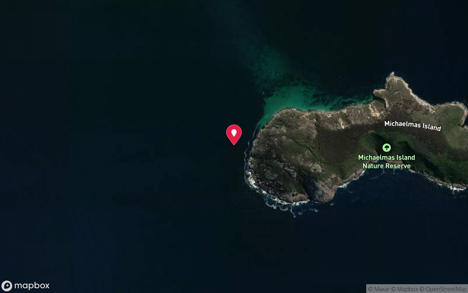
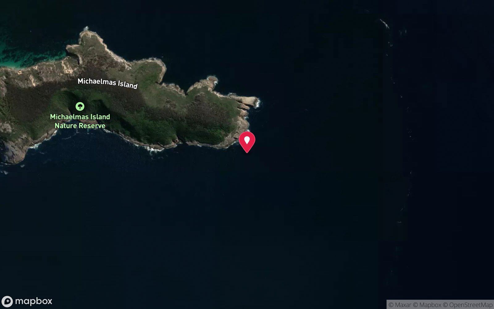
Nearby dive sites
More island dives in Western Australia
Explore more
This region
Marine life