Dive slate · divesites.com.au · printed 8 Nov 2026
Orchard Rocks (Magnetic Island)
Townsville & Magnetic Island, Queensland · near Horseshoe Bay (Magnetic Island)
| Depth | 5–15 m |
|---|---|
| Minimum level | Open Water |
| Difficulty | Intermediate |
| Access | Boat |
| Entry | Back roll from a small boat; anchor on sand clear of fishermen |
| Current | Variable/Tidal |
| Visibility | 3-10 m |
| Water | summer 27-29 °C, winter 22-24 °C |
| Suit | 3 mm full suit or stinger suit in summer (lycra/stinger suit essential Nov–May); 5 mm full suit June–September |
| Best season | August–December; early-morning high tide with a light southerly |
| Bottom time | 45 min |
| Position | -19.11800, 146.87800 (approximate) |
| Permit | Great Barrier Reef Marine Park and Queensland Great Barrier Reef Coast Marine Park; Magnetic Island bays are largely Marine National Park (green zone) – no fishing or collecting; Magnetic Island is also a Dugong Protection Area. No anchoring on reef or in marked snorkel-trail areas. Check zoning – fishing permitted in parts of this area. |
| Nearest chamber | Townsville University Hospital hyperbaric unit (Douglas, Townsville) |
| Emergency | 000 · DAN Asia-Pacific diving emergency 1800 088 200 |
Orchard Rocks (Magnetic Island)
Stacked granite boulders with swim-throughs, ledges and cracks, and more fish than the island's bays.
Near Horseshoe Bay (Magnetic Island) · Townsville & Magnetic Island, Queensland
- Depth
- 5–15 m
- Minimum level
- Open Water
- Access
- Boat
- Boat ride
- ~15 min
- Water
- 27-29 °C
- Visibility
- 3-10 m
Orchard Rocks (Magnetic Island)5–15 m · Open Water
Dive factsDepths, conditions, location & safety
Season
In season nowBest months: August, September, October, November, December.
August–December; early-morning high tide with a light southerly
- Best months
- Now (November)
- Stinger suit Nov–May
Dive facts
- Depth
- 5–15 m
- Typical depth
- 12 m
- Certification
- Open Water
- Difficulty
- Intermediate
- Depth tier
- Open Water (10–18 m)
- Access
- Boat
- Offshore
- 0.2 km
- Dive centre needed
- Recommended
- Shore / independent
- No
- Boat ride
- ~15 min
- Current
- Variable/Tidal
- Visibility
- 3-10 m
- Water temp (summer)
- 27-29 °C
- Water temp (winter)
- 22-24 °C
- Water
- Tropical
- Bottom time
- 45 min
- Dive traffic
- Rarely dived (private boat/club only)
- Night dive
- No
- Snorkel friendly
- No
Exposure suit
3 mm full suit or stinger suit in summer (lycra/stinger suit essential Nov–May); 5 mm full suit June–September
Location
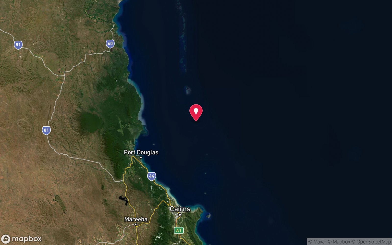
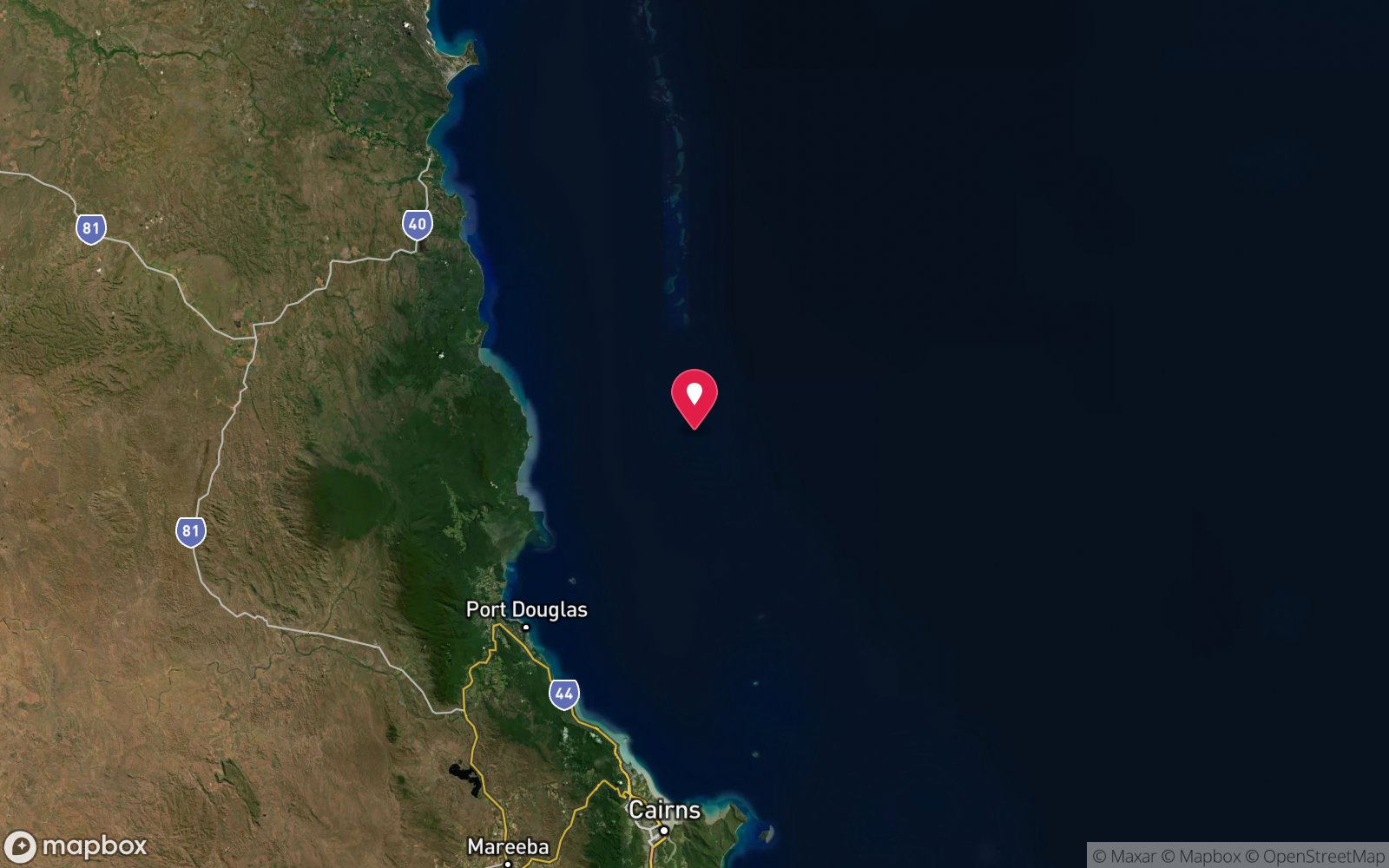
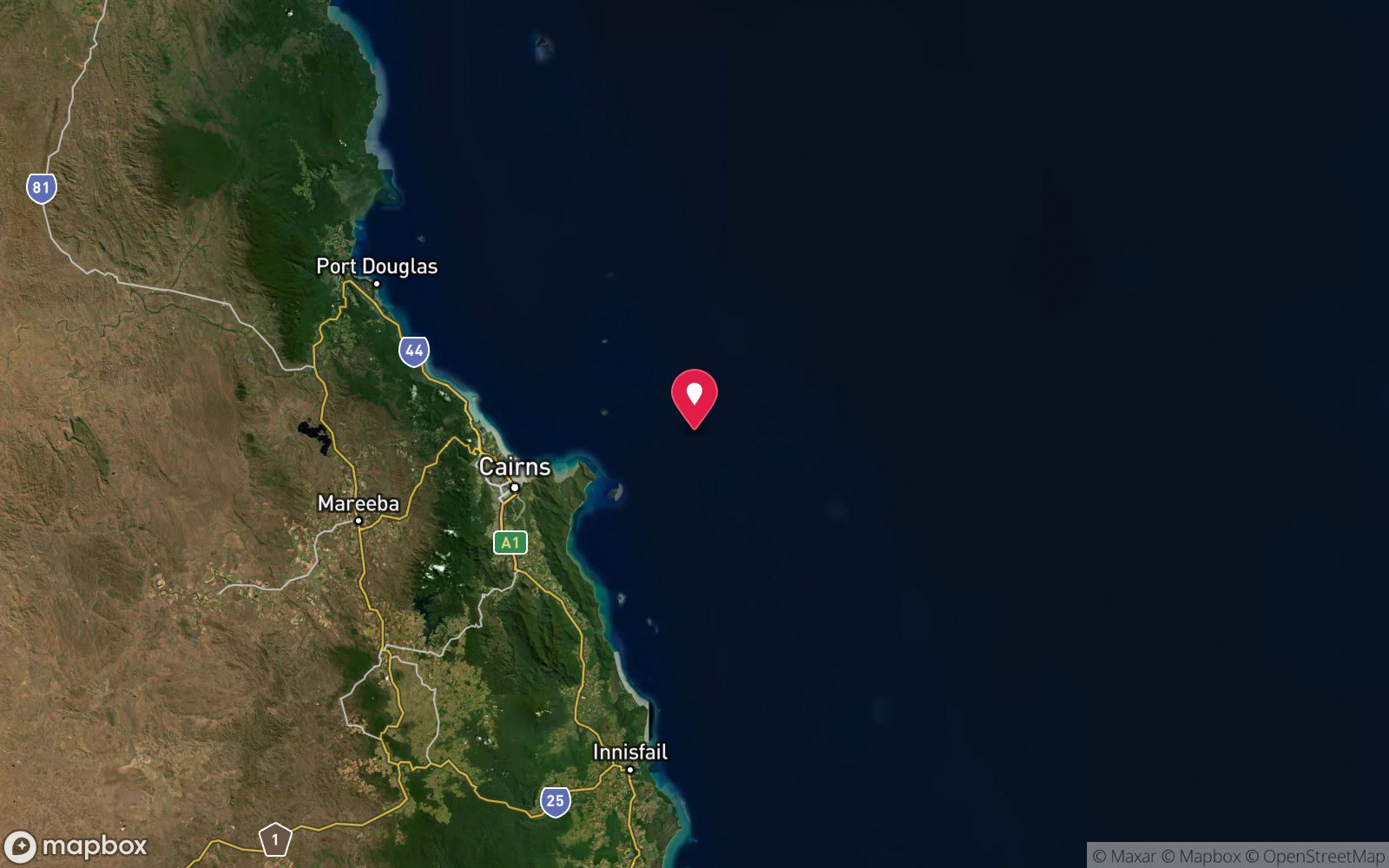
North-east coast · Central GBR – Magnetic Island
-19.11800, 146.87800
Approximate position — not for navigation.
Open in Google MapsDive site map (external) →Primary source: nquec.org.auMarine park & permits
Great Barrier Reef Marine Park and Queensland Great Barrier Reef Coast Marine Park; Magnetic Island bays are largely Marine National Park (green zone) – no fishing or collecting; Magnetic Island is also a Dugong Protection Area. No anchoring on reef or in marked snorkel-trail areas. Check zoning – fishing permitted in parts of this area.
Nearest recompression chamber
Townsville University Hospital hyperbaric unit (Douglas, Townsville)
Diving emergency: call 000, then DAN AP 1800 088 200.
Trip planner
Build a trip around Orchard Rocks (Magnetic Island) →
A day-by-day plan for Townsville & Magnetic Island with this site locked in.
This guide is a planning aid. Conditions change daily — confirm with a local dive centre and dive within your training. Data & safety notes.
Dive profile
How this site rates
Scores are computed from the recorded data, not opinions. How?
At a glance
Orchard Rocks (Magnetic Island) is a pinnacle / bommie boat dive in Townsville & Magnetic Island, QLD, 5–15 m, suited to Open Water divers, variable/tidal current, about 15 minutes by boat.
Rated intermediate because of tidal current that must be timed.
Why dive here
- Stacked granite boulders with swim-throughs, ledges and cracks, and more fish than the island's bays.
- Rarely dived: expect to have the site to yourself, and plan your own logistics.
Conditions to avoid
- Strong southerly or south-east swell and wind
- Outgoing tide or run-off after rain (poor visibility)
- Spring tides (strong current)
- Any time other than slack water
- Stinger season without a full suit (November–May)
About Orchard Rocks (Magnetic Island)
Orchard Rocks is a pile of granite boulders about 200 m off the north-east coast of Magnetic Island, between Radical and Gowrie bays, and one of the island's few boat-only sites. The North Queensland Underwater Explorers Club describes depths of 13 m on the inside of the rocks increasing to about 15 m outside, and a structure of stacked boulders that forms swim-throughs on the northern side, with ledges and cracks throughout. Because it stands in open water off a headland, it attracts more fish than the island's bays: cod, coral trout, sweetlips, angelfish, batfish, drummer, fusiliers and small wrasse, with feather stars on the boulders and white and cream nudibranchs for macro divers.
The swim-throughs between boulders are the highlight and are short, open and lit, though silt can be stirred up. Conditions dictate everything. The rocks are fully exposed to a typical south-easterly, current runs past them on the tide and visibility can drop low.
The club recommends an early-morning high tide with only a slight southerly for slack water, and suggests marking the anchor with a glow stick or inflated SMB tied to a weight so divers can find the boat in poor visibility. On calm weekends fishermen crowd the rocks, and lines are a hazard. When Orchard Rocks is unsuitable, nearby Balding Bay's western wall is the usual fallback.
For experienced island divers with a boat, it is the most structurally interesting site on Magnetic Island's north-east coast, and on a clear, still morning it can be excellent. It is not for novices in current or low visibility.
Getting there & entry
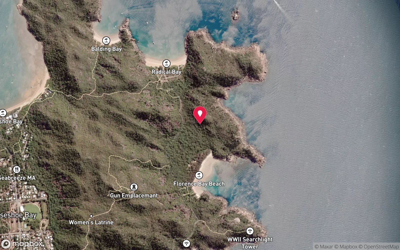
Cluster of boulders about 200 m offshore between Radical Bay and Gowrie Bay on the north-east of Magnetic Island.
Boat only. Launch at the Horseshoe Bay ramp on the north coast of Magnetic Island (or the Nelly Bay harbour ramp) and run east around Balding Bay to Orchard Rocks, about 200 m offshore between Radical and Gowrie bays – roughly 10–15 minutes from Horseshoe Bay in a small boat. Anchor on sand, keep clear of fishing boats and leave a boat tender aboard.
From Townsville, hire boats or private vessels cross Cleveland Bay (about 45 minutes).
Entry: Back roll from a small boat; anchor on sand clear of fishermen
Facilities: Horseshoe Bay boat ramp, cafes and pub at Horseshoe Bay.
Weather, swell & tides
Magnetic Island's bays are sheltered from different winds depending on which side they face. The dominant south-east trade winds (15–25 knots, April–September) chop up exposed eastern and southern bays and stir up silt, so the island's best diving comes in the calmer months of August–December and on mornings before the sea breeze. Visibility is usually 3–8 m and occasionally 10–15 m; it drops sharply after strong winds, big spring tides and wet-season rain (January–April) when Ross River and Burdekin run-off discolour the water.
Dive at slack water, ideally high tide. Sargassum seaweed blooms in the hotter months can smother shallow reef flats. Marine stinger season (box jellyfish and Irukandji) runs roughly November to May – wear a full-length stinger suit or wetsuit with hood and gloves, carry vinegar.
Stinger nets are installed at Alma Bay, Picnic Bay and Horseshoe Bay in season. NQUEC notes the rocks are fairly exposed in a typical south-easterly; early-morning high tide with a slight southerly breeze gives slack water. In rough conditions the club dives the western edge of Balding Bay instead.
Best season: August–December; early-morning high tide with a light southerly
If it's blown out
Sheltered or shore sites within 25 km that often work when Orchard Rocks (Magnetic Island) doesn't.
- Alma Bay (Magnetic Island) · 4 km · Max 10 m
- SS Moltke Wreck (Geoffrey Bay) · 4 km · Max 8 m
- Geoffrey Bay Snorkel Trail (Magnetic Island) · 4 km · Max 6 m
- Arthur Bay (Magnetic Island) · 1 km · Max 10 m
How the dive is usually run
Descend on the inside of the rocks (13 m) and circuit to the outside (15 m), exploring the stacked-boulder swim-throughs on the northern side and the ledges and cracks. Tie a glow stick or inflated SMB to a weight as a reference at the anchor.
Marine life
- Cod
- coral trout
- sweetlips
- angelfish
- batfish
- drummer
- fusiliers
- small wrasse
- feather stars
- nudibranchs →
Linked species have their own page listing every site where they are recorded. All marine life →
Training required
Within the 18 m limit of an entry-level certification.
Courses that help here
- Peak Performance Buoyancy – Silt and low visibility punish poor trim.
Depth tiers: 0–10 m easy · to 18 m Open Water · 18–30 m Advanced (25 m+ is a deep dive) · 30–40 m Deep specialty · 40 m+ technical. All courses
Hazards & warnings
Current and poor visibility – easy to lose the anchor; fishing lines and boats on calm days; exposed to south-easterlies; silt in swim-throughs. Marine stinger season (box jellyfish and Irukandji) runs roughly November to May – wear a full-length stinger suit or wetsuit with hood and gloves, carry vinegar.
Dive centres that go here
No regular operator; NQUEC club and private boats. Nearest dive centres for gear hire, fills and local advice: Pleasure Divers Magnetic Island, Adrenalin Snorkel & Dive.
Operators recorded for Orchard Rocks (Magnetic Island)
Adrenalin Snorkel & Dive
ListedSouth Townsville · Townsville & Magnetic Island · QLD
A Townsville operation running SS Yongala trips alongside reef diving and training.
adrenalindive.com.au · (07) 4724 0600
Pleasure Divers Magnetic Island
ListedArcadia, Magnetic Island · Townsville & Magnetic Island · QLD
A Magnetic Island training and guided-diving operation serving island-based visitors.
pleasuredivers.com.au · (07) 4778 5788
Other dive centres in Townsville & Magnetic Island
Yongala Dive
ProfiledAlva Beach · Townsville & Magnetic Island · QLD
An Ayr-based operation specialising in the SS Yongala, with a shorter boat transit to the wreck than Townsville departures.
yongaladive.com.au · 0407 299 876
Pro Dive Magnetic Island
ListedNelly Bay, Magnetic Island · Townsville & Magnetic Island · QLD
A Magnetic Island operation offering training and local diving.
prodivemagnetic.com · (07) 4778 5506
Orpheus Island Lodge
Named by sitesOrpheus Island · Townsville & Magnetic Island · QLD
Luxury island resort (Morris Escapes) offering diving to guests, not a dive shop.
orpheus.com.au · (07) 4777 7377
Coral Expeditions
Named by sitesCairns · Townsville & Magnetic Island · QLD
Expedition cruise line (Cairns-based), not a dive shop; diving/snorkelling offered on Great Barrier Reef itineraries. Phone not extractable from site.
coralexpeditions.com
Map
7 pinned sites. Pins marked approximate on their pages show the general area only; not for navigation.
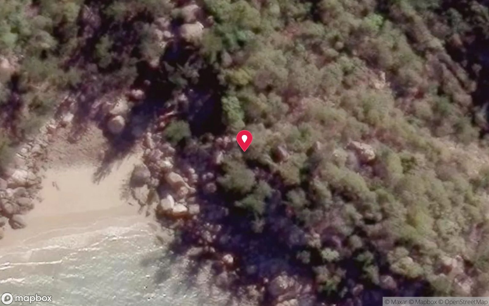
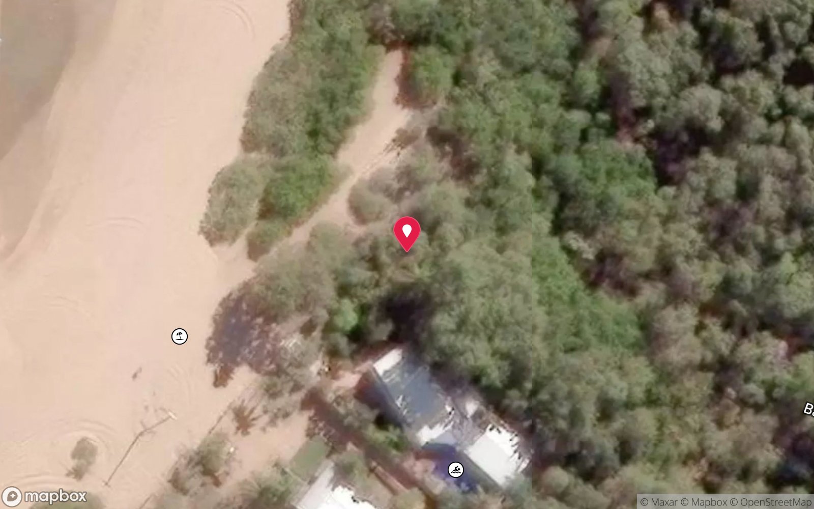
Satellite views
Orchard Rocks (Magnetic Island): frequently asked questions
How deep is Orchard Rocks (Magnetic Island)?
Orchard Rocks (Magnetic Island) reaches a maximum depth of 15 m, with the shallowest part at about 5 m; most of the dive is spent around 12 m.
What certification do I need to dive Orchard Rocks (Magnetic Island)?
Open Water is the recommended minimum. Rated intermediate because of tidal current that must be timed.
Can I shore dive Orchard Rocks (Magnetic Island)?
No, it is reached by boat (about 15 minutes).
When is the best time to dive Orchard Rocks (Magnetic Island)?
August–December; early-morning high tide with a light southerly.
What marine life will I see at Orchard Rocks (Magnetic Island)?
Regularly recorded: Cod, coral trout, sweetlips, angelfish, batfish, drummer, fusiliers, small wrasse, feather stars, nudibranchs.
What wetsuit do I need at Orchard Rocks (Magnetic Island)?
3 mm full suit or stinger suit in summer (lycra/stinger suit essential Nov–May); 5 mm full suit June–September.
How cold is the water at Orchard Rocks (Magnetic Island)?
Typically 27-29 °C in summer and 22-24 °C in winter.
What are the main hazards at Orchard Rocks (Magnetic Island)?
Current and poor visibility – easy to lose the anchor; fishing lines and boats on calm days; exposed to south-easterlies; silt in swim-throughs. See the hazards section above for the full list.
Where is the nearest recompression chamber to Orchard Rocks (Magnetic Island)?
Townsville University Hospital hyperbaric unit (Douglas, Townsville). In an emergency call 000, then DAN Asia-Pacific on 1800 088 200.
Diving in Townsville & Magnetic Island
Townsville is the gateway to the SS Yongala, the 1911 passenger steamer that is Australia's most celebrated wreck dive, and to the John Brewer and Lodestone reefs offshore. Magnetic Island, 20 minutes away by ferry, has shore dives on the SS Moltke wreck in Geoffrey Bay, the Museum of Underwater Art sculptures and fringing coral around the bays.
Getting there: Fly into Townsville. Yongala trips run from Townsville (3 hours each way) or from Alva Beach near Ayr (30 minutes); the Ayr option is more reliable. Magnetic Island is a ferry ride.
All Townsville & Magnetic Island dive sites and a suggested itinerary →
Sources
Data confidence: Medium · Being verified: Zoning at the rocks not confirmed (fishermen reported present).. Last updated September 2026. Know this site better? How to send a correction