Dive slate · divesites.com.au · printed 9 Nov 2026
Point Danger, Torquay
Surf Coast & Great Ocean Road, Victoria · near Torquay
| Depth | 1–20 m |
|---|---|
| Minimum level | Advanced Open Water |
| Difficulty | Intermediate |
| Access | Shore |
| Entry | Sandy channel from the south-eastern end of the car park at low tide, or steps and track to the limestone platform at beach marker 66W |
| Current | Moderate |
| Visibility | 5-15 m |
| Water | summer 17-19 °C, winter 12-14 °C |
| Suit | 7 mm semi-dry with hood and gloves in summer; drysuit recommended in winter (water 12-14 °C) |
| Best season | Autumn and early winter (March-June) for the calmest seas and clearest water; any flat day after several days of northerlies |
| Bottom time | 40 min |
| Position | -38.34074, 144.32690 (GPS) |
| Permit | Point Danger Marine Sanctuary – no take, no collecting; historic wreck Joseph H Scammell protected |
| Nearest chamber | The Alfred Hospital Hyperbaric Service (Melbourne) |
| Emergency | 000 · DAN Asia-Pacific diving emergency 1800 088 200 |
Point Danger, Torquay
Also known as Point Danger Marine Sanctuary, Torquay Point Danger (beach marker 66W)
Torquay's marine sanctuary headland with a record 96 sea-slug species, eagle rays and Amphibolis meadows in under 7 m, and limestone swim-throughs in 10-20 m beyond; flat days only.
Near Torquay · Surf Coast & Great Ocean Road, Victoria
- Depth
- 1–20 m
- Minimum level
- Advanced Open Water
- Access
- Shore
- Boat ride
- —
- Water
- 17-19 °C
- Visibility
- 5-15 m
Point Danger, Torquay1–20 m · Advanced Open Water · Shore
Dive factsDepths, conditions, location & safety
Season
Off-peak nowBest months: March, April, May, June, July, August.
Autumn and early winter (March-June) for the calmest seas and clearest water; any flat day after several days of northerlies
- Best months
- Now (November)
Dive facts
- Depth
- 1–20 m
- Typical depth
- 6 m
- Certification
- Advanced Open Water
- Difficulty
- Intermediate
- Depth tier
- Advanced Open Water (18–30 m)
- Access
- Shore
- Offshore
- 0 km
- Dive centre needed
- No – independently diveable
- Shore / independent
- Possible (experienced only)
- Current
- Moderate
- Visibility
- 5-15 m
- Water temp (summer)
- 17-19 °C
- Water temp (winter)
- 12-14 °C
- Water
- Temperate
- Bottom time
- 40 min
- Dive traffic
- Moderate (occasional charters/club dives)
- Night dive
- No
- Snorkel friendly
- Partial
Exposure suit
7 mm semi-dry with hood and gloves in summer; drysuit recommended in winter (water 12-14 °C)
Location
Point Danger Marine Sanctuary · Surf Coast – Torquay to Lorne
-38.34074, 144.32690
Published GPS position.
Open in Google MapsDive site map (external) →Primary source: scubadoctor.com.auMarine park & permits
Point Danger Marine Sanctuary – no take, no collecting; historic wreck Joseph H Scammell protected
Nearest recompression chamber
The Alfred Hospital Hyperbaric Service (Melbourne)
Diving emergency: call 000, then DAN AP 1800 088 200.
Trip planner
Build a trip around Point Danger, Torquay →
A day-by-day plan for Surf Coast & Great Ocean Road with this site locked in.
This guide is a planning aid. Conditions change daily — confirm with a local dive centre and dive within your training. Data & safety notes.
Dive profile
How this site rates
Scores are computed from the recorded data, not opinions. How?
At a glance
Point Danger, Torquay is a shore / rock platform shore dive for experienced divers in Surf Coast & Great Ocean Road, VIC, 1–20 m, suited to Advanced Open Water divers, moderate current.
Rated intermediate because of depth beyond 18 m, cold water.
Why dive here
- Torquay's marine sanctuary headland with a record 96 sea-slug species, eagle rays and Amphibolis meadows in under 7 m, and limestone swim-throughs in 10-20 m beyond; flat days only.
Conditions to avoid
- Swell above about 1 m
- Strong southerly or south-east swell and wind
About Point Danger, Torquay
Point Danger is the limestone headland at the eastern end of Torquay, named for the reef that wrecked the barque Joseph H Scammell in 1891 within sight of the town, and since 2002 the core of the 21.7 hectare Point Danger Marine Sanctuary. The sanctuary is predominantly less than 7 m deep and extends about 600 m east and 400 m south of the point over intertidal and subtidal reef, soft sediment and extensive beds of the seagrass Amphibolis antarctica in the more sheltered areas. Its fame is for invertebrates: ninety-six species of sea slug have been recorded here, many of them endemic, along with keyhole limpets, crabs, mussels, banded brittle stars and carnivorous worms, and the shallow reefs carry a brown-algae canopy over ledges, crevices and large holes that shelter leatherjackets, wrasse, magpie perch, zebrafish, scalyfin, old wives and sweep, with eagle rays patrolling the sandy areas and Port Jackson sharks under the overhangs.
Beyond the sanctuary boundary to the south, in 10-20 m, lie scattered limestone reefs with shelves, overhangs, walls, ledges and swim-throughs that are a fine dive for a small boat or a long swim on the flattest days, and the Scammell's remains are 300 m south-south-east. All of it is at the mercy of the sea. The point takes the full south-westerly swell of Bass Strait, a strong rip feeder current runs out along it whenever there is surf, and the sanctuary is diveable only in calm conditions, typically after several days of northerlies.
When it is flat it is one of the better shore dives on the Surf Coast, close to a town with every facility, shallow enough for confident snorkellers on the platform reef, and a sea-slug hunter's paradise; when it is not, the name is accurate.
Getting there & entry
Limestone headland and reef between Torquay Front Beach and Fishermans Beach, protected as the 21.7 ha Point Danger Marine Sanctuary, extending 600 m east and 400 m south of the point; the Joseph H Scammell wreck (1891) lies 300 m to the south-south-east.
Torquay is 95 km from Melbourne via the Princes Freeway and Surf Coast Highway (about 80 minutes) and 25 km from Geelong. Point Danger is at the eastern end of the Torquay foreshore; park in the large car park on Anzac Drive (free) above the point. From the south-eastern end of the car park a sandy channel heading south into the ocean gives the easiest entry at low tide; otherwise take the steps and track down to the limestone platform at beach marker 66W and enter from the platform edge.
The carry is 100-200 m. Exit the same way. Torquay's surf life saving club and toilets are on the Front Beach side.
Entry: Sandy channel from the south-eastern end of the car park at low tide, or steps and track to the limestone platform at beach marker 66W
Facilities: Large free car park on Anzac Drive; public toilets and showers at Torquay Front Beach; cafes, surf shops and pubs in Torquay; nearest air fills Bay City Scuba (Geelong)
Weather, swell & tides
Highly exposed. The Scuba Doctor's guidance is no wind, or after a few days of northerlies, with flat seas and little swell; any south-westerly to southerly swell above about 1 m breaks over the platform and drives a strong rip feeder current along the point, and the whole area becomes highly hazardous with deep water, rocks and reef. Parks Victoria warns of strong winds and large swells from the south and south-west, sudden weather changes and strong currents and undertows.
Autumn and early winter give the most usable days. Visibility 5-15 m when clean, poor after storms. Boat and jet-ski traffic rounds the point in summer; take a float and flag.
Not a night dive.
Best season: Autumn and early winter (March-June) for the calmest seas and clearest water; any flat day after several days of northerlies
If it's blown out
Sheltered or shore sites within 25 km that often work when Point Danger, Torquay doesn't.
- Point Danger Marine Sanctuary (Torquay) · 1 km · Max 8 m
- Joseph H Scammell · 1 km · Max 9 m
- Bird Rock, Jan Juc · 2 km · Max 8 m
- The Steps, Jan Juc · 3 km · Max 10 m
How the dive is usually run
Enter via the sandy channel on a flat day at low tide, swim out over the shallow platform reef at 2-5 m, follow the ledges and holes south and east to the sanctuary's outer reefs at 7 m, or, with a boat or a long swim on the calmest days, to the scattered limestone reefs with shelves, overhangs, walls and swim-throughs in 10-20 m south of the point; turn at half gas and return along the platform edge, exiting via the channel.
Marine life
- Sea slugs (96 species recorded)
- eagle rays
- Port Jackson sharks →
- leatherjackets
- wrasse
- magpie perch
- zebrafish
- scalyfin
- old wives
- sweep
- keyhole limpets
- crabs
- mussels
- banded brittle stars
- Amphibolis seagrass
Linked species have their own page listing every site where they are recorded. All marine life →
Training required
Beyond 18 m an Advanced certification (which includes a deep dive to 30 m) is the accepted minimum. Anything past 25 m is a deep dive in practice.
Open Water divers can dive the shallower section (typical depth 6 m); the full site to 20 m needs Advanced Open Water. Operators often quote Open Water.
Operators' own listing: Open Water.
Courses that help here
- Drysuit Diver – Cold water; locals dive dry for much of the year.
Depth tiers: 0–10 m easy · to 18 m Open Water · 18–30 m Advanced (25 m+ is a deep dive) · 30–40 m Deep specialty · 40 m+ technical. All courses
Hazards & warnings
Strong rip feeder current along the point; south-westerly swell breaking on the platform; sudden squalls; deep water and reef beyond the sanctuary; boat and PWC traffic; sharp limestone; no take; exit via the sandy channel or platform steps
Dive centres that go here
No regular commercial operator – dived independently by experienced Geelong and Surf Coast divers and clubs on the rare flat days; Bay City Scuba (Geelong) is the nearest shop. Snorkel tours operate under Parks Victoria licence in summer.
Operators recorded for Point Danger, Torquay
The Scuba Doctor
ProfiledRye · Melbourne & Port Phillip Bay · VIC
A Victorian equipment and service business with an extensive retail presence, located to serve both Melbourne and Mornington Peninsula divers.
scubadoctor.com.au · (03) 5985 3322
Bay City Scuba
ListedEast Geelong · Melbourne & Port Phillip Bay · VIC
A Victorian business associated with recreational and technical training alongside equipment and gas services.
baycityscuba.com · (03) 5248 1488
Scubabo Dive Victoria (Queenscliff)
ListedQueenscliff · Geelong & Bellarine · VIC
A Queenscliff operation, strategically located for access toward Port Phillip Heads.
dive.scubabo.com · (03) 5258 1188
Scubabo Dive Victoria (Dive Victoria Group)
Named by sitesQueenscliff · Port Phillip Heads · VIC
Rebranded as Scubabo Dive Victoria, Queenscliff; dive.scubabo.com is live for 2026 with active charter bookings.
dive.scubabo.com · (03) 5258 1188
Other dive centres in Surf Coast & Great Ocean Road
Divein2Scuba (Geelong Dive Centre)
ListedGeelong · Geelong & Bellarine · VIC
A Geelong business providing training, equipment and local diving support.
divein2scuba.com · (03) 5221 3342
Warrnambool Diving
Named by sitesWarrnambool · Shipwreck Coast & Warrnambool · VIC
Trades as Warrnambool Diving & Firearms.
divingandfirearms.com.au · (03) 5562 1685
Red Boats
Reported closedPortsea · Port Phillip Heads · VIC
TripAdvisor marks RedBoats Portsea as permanently closed (last review November 2021) and the domain is now an unrelated boating blog.
Map
7 pinned sites. Pins marked approximate on their pages show the general area only; not for navigation.
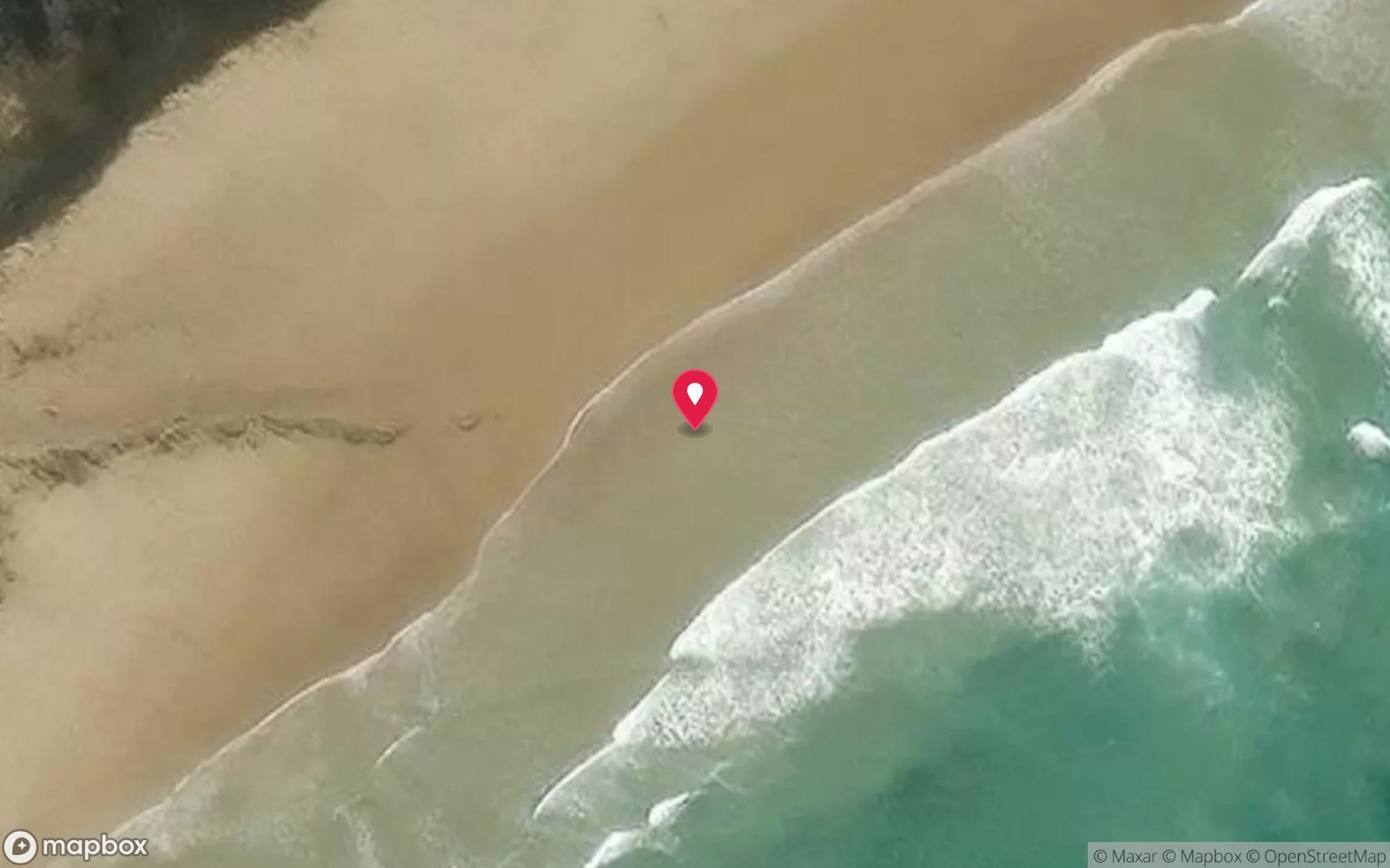
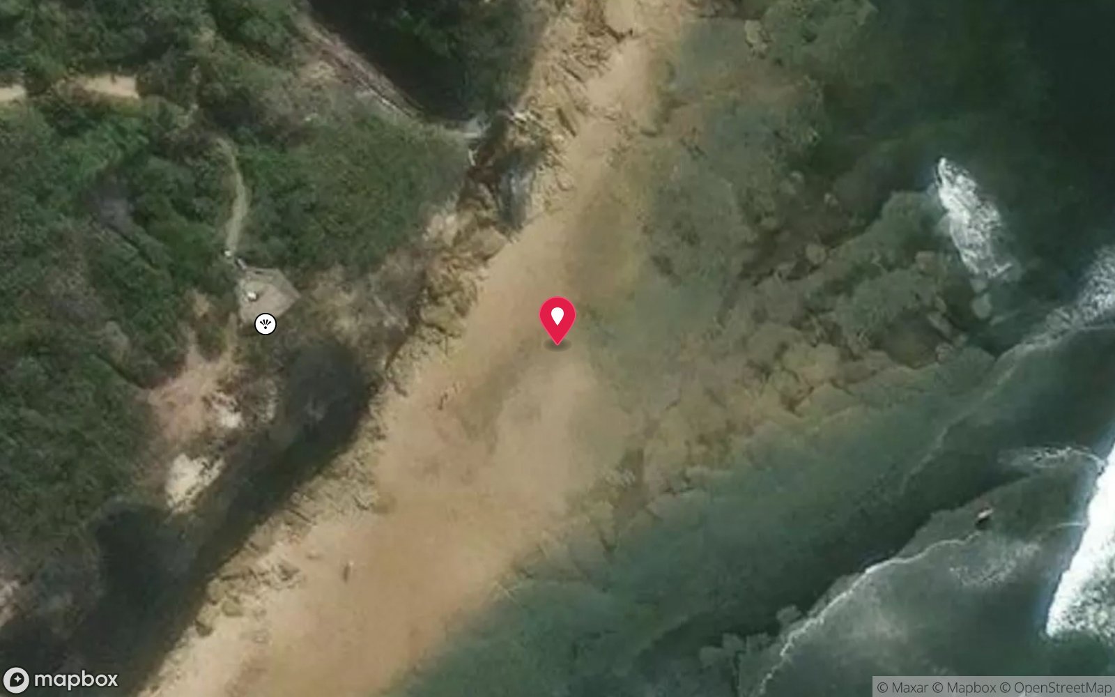
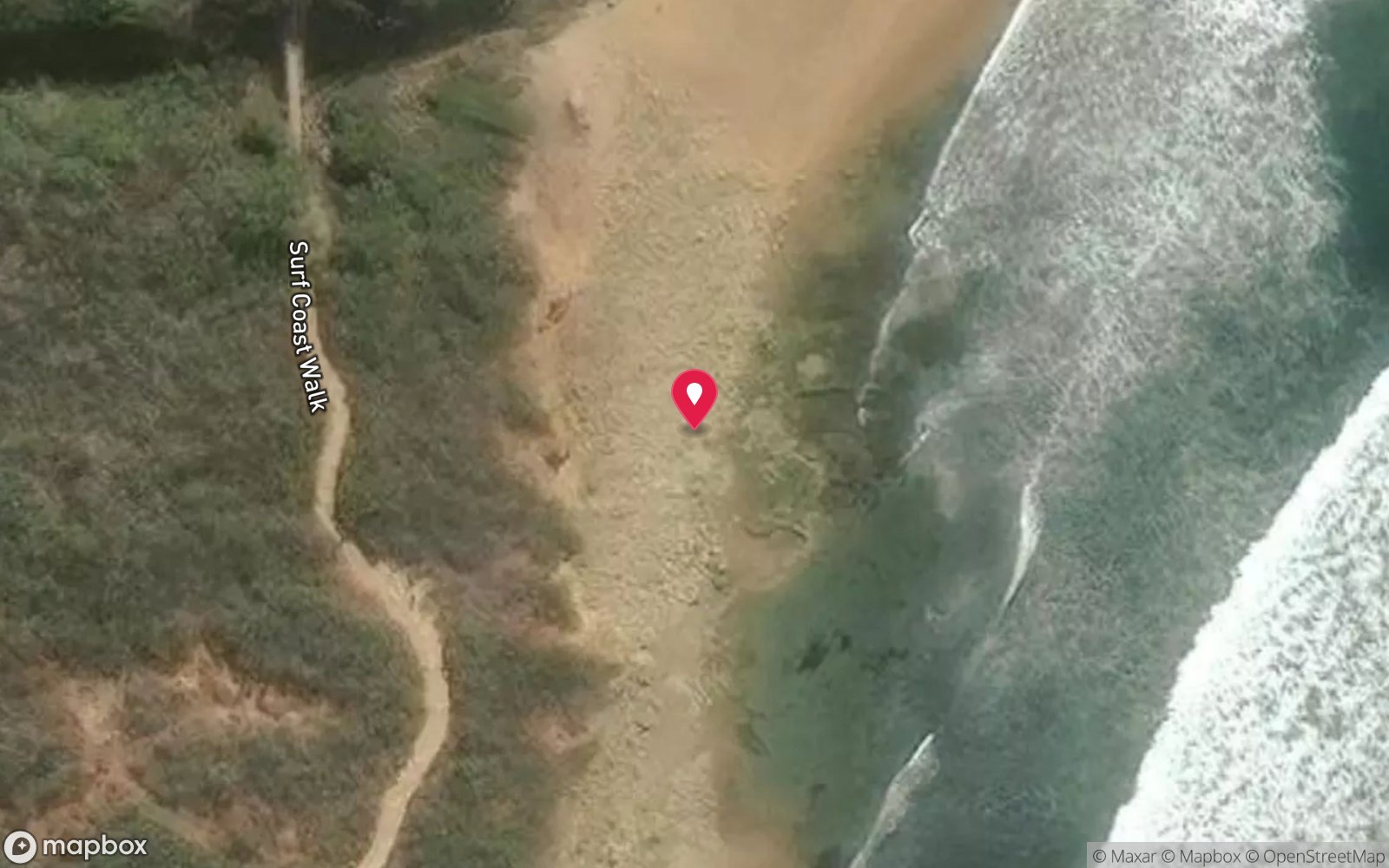
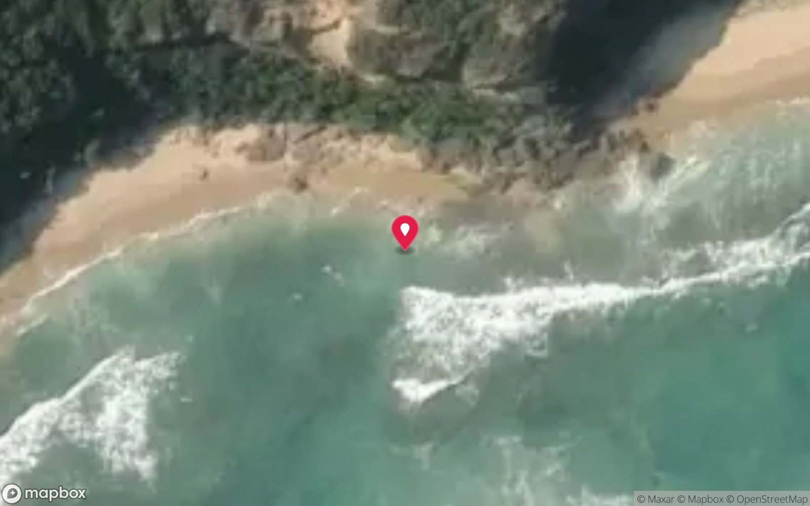
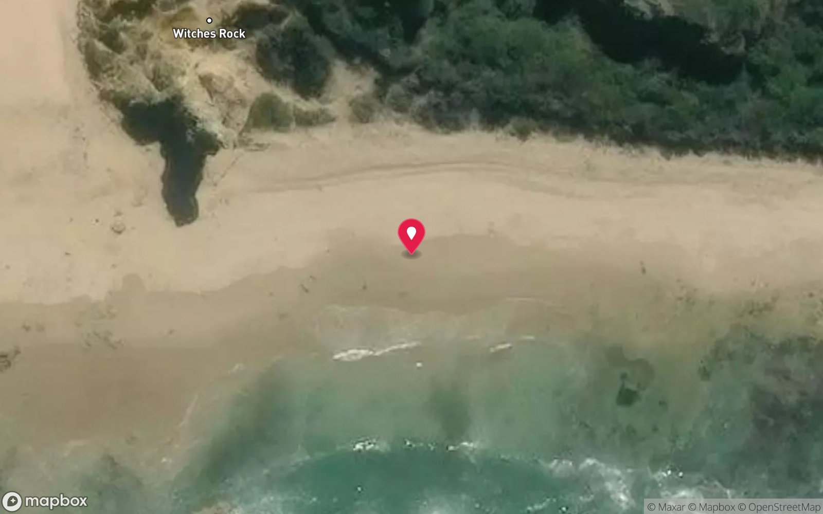
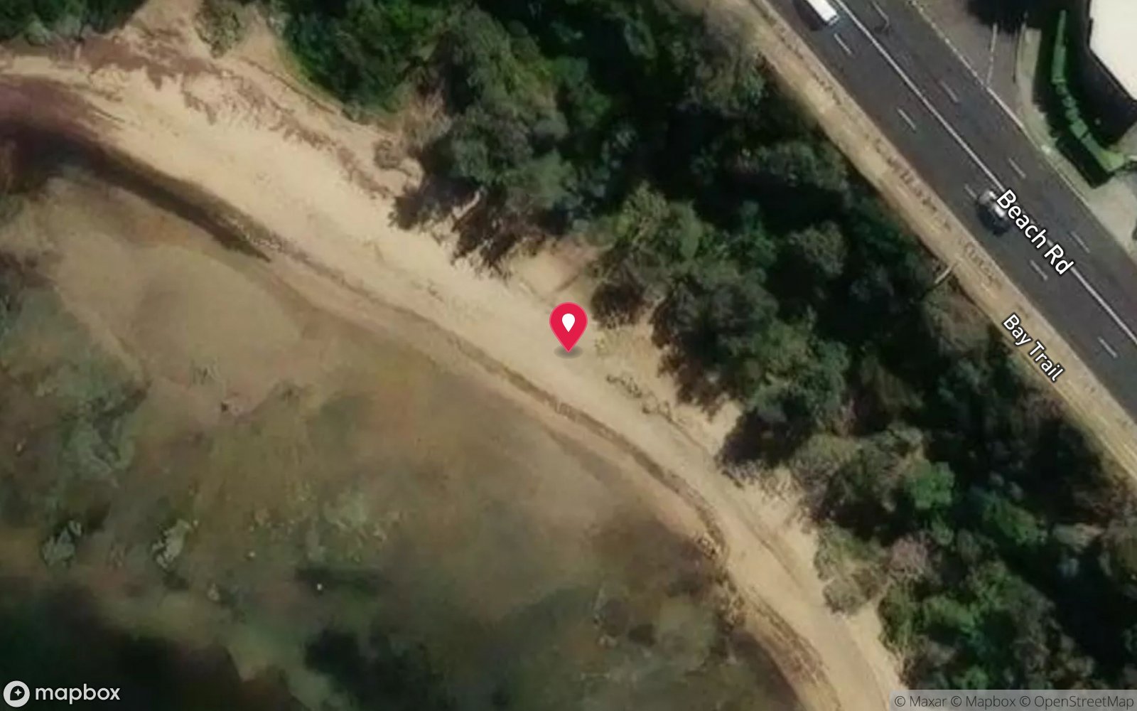
Satellite views
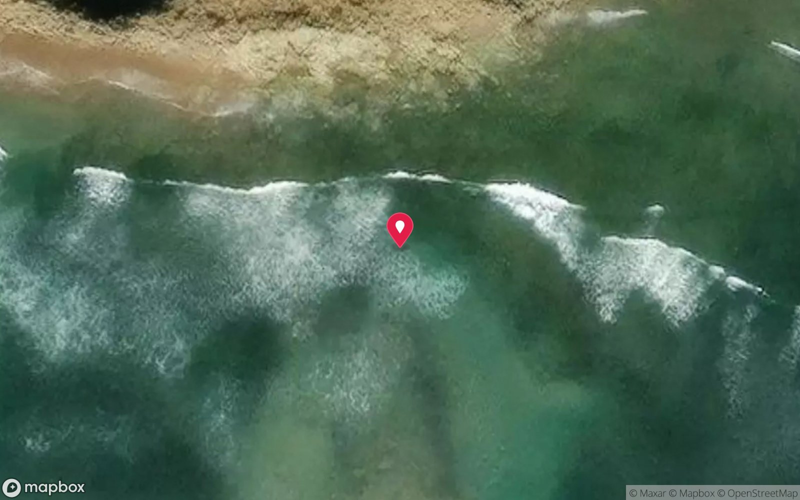
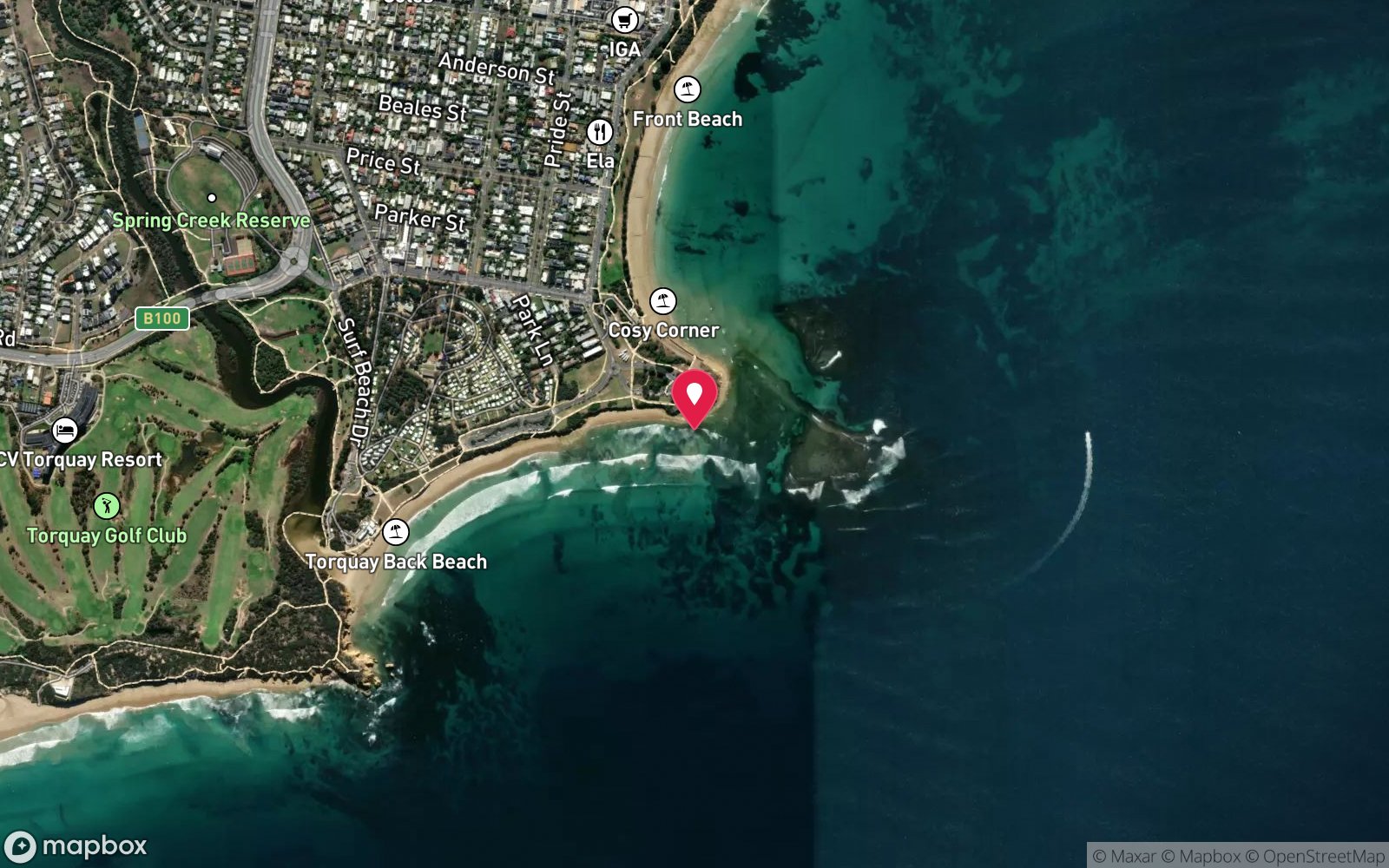
Point Danger, Torquay: frequently asked questions
How deep is Point Danger, Torquay?
Point Danger, Torquay reaches a maximum depth of 20 m, with the shallowest part at about 1 m; most of the dive is spent around 6 m.
What certification do I need to dive Point Danger, Torquay?
Advanced Open Water is the recommended minimum. Open Water divers can dive the shallower section (typical depth 6 m); the full site to 20 m needs Advanced Open Water. Operators often quote Open Water. Rated intermediate because of depth beyond 18 m, cold water.
Can I shore dive Point Danger, Torquay?
Experienced divers do dive Point Danger, Torquay from the shore, but the entry or conditions make it unsuitable for newer divers without local guidance. Entry: Sandy channel from the south-eastern end of the car park at low tide, or steps and track to the limestone platform at beach marker 66W.
When is the best time to dive Point Danger, Torquay?
Autumn and early winter (March-June) for the calmest seas and clearest water; any flat day after several days of northerlies.
What marine life will I see at Point Danger, Torquay?
Regularly recorded: Sea slugs (96 species recorded), eagle rays, Port Jackson sharks, leatherjackets, wrasse, magpie perch, zebrafish, scalyfin, old wives, sweep, keyhole limpets, crabs and more.
What wetsuit do I need at Point Danger, Torquay?
7 mm semi-dry with hood and gloves in summer; drysuit recommended in winter (water 12-14 °C).
How cold is the water at Point Danger, Torquay?
Typically 17-19 °C in summer and 12-14 °C in winter.
What are the main hazards at Point Danger, Torquay?
Strong rip feeder current along the point; south-westerly swell breaking on the platform; sudden squalls; deep water and reef beyond the sanctuary; boat and PWC traffic; sharp limestone; no take; exit via the sandy channel or platform steps. See the hazards section above for the full list.
Where is the nearest recompression chamber to Point Danger, Torquay?
The Alfred Hospital Hyperbaric Service (Melbourne). In an emergency call 000, then DAN Asia-Pacific on 1800 088 200.
Diving in Surf Coast & Great Ocean Road
Torquay, Anglesea, Lorne and Apollo Bay face the Southern Ocean, and diving is limited to flat days at the piers and reefs (Lorne Pier, Apollo Bay harbour, Point Addis). The deep offshore wrecks of the SS Casino and others suit technical divers with a boat.
Getting there: Ninety minutes to three hours from Melbourne along the Great Ocean Road. Pier and harbour shore dives; occasional charters from Apollo Bay.
All Surf Coast & Great Ocean Road dive sites and a suggested itinerary →
Sources
- scubadoctor.com.au/divesite.htm?site=Point-Danger
- parks.vic.gov.au/places-to-see/parks/point-danger-marine-sanctuary
Data confidence: High. Last updated September 2026. Know this site better? How to send a correction
Nearby dive sites
More shore/rock platform dives in Victoria
Explore more