Dive slate · divesites.com.au · printed 8 Nov 2026
Joseph H Scammell
Surf Coast & Great Ocean Road, Victoria · near Torquay
| Depth | 3–9 m |
|---|---|
| Minimum level | Open Water |
| Difficulty | Intermediate |
| Access | Shore or Boat |
| Entry | Beach or rock-platform entry from Cosy Corner / Point Danger in small swell, surface swim out; or small boat from Fishermans Beach ramp |
| Current | Mild |
| Visibility | 3-10 m |
| Water | summer 17-20 °C, winter 11-14 °C |
| Suit | 7mm semi-dry with hood and gloves in summer; drysuit strongly preferred May–November |
| Best season | Late summer and autumn (Feb–May) after a run of northerlies; occasional flat winter days |
| Bottom time | 40 min |
| Position | -38.33600, 144.33100 (approximate) |
| Permit | Point Danger Marine Sanctuary – no take; historic shipwreck protected under the Heritage Act 2017 (no permit to dive, no artefact removal) |
| Nearest chamber | The Alfred (Melbourne) |
| Emergency | 000 · DAN Asia-Pacific diving emergency 1800 088 200 |
Joseph H Scammell
Also known as Scammell wreck, Point Danger wreck (Torquay)
Torquay's founding shipwreck story on a shallow sanctuary reef; anchor and scattered iron among kelp gutters within a surface swim of the beach.
Near Torquay · Surf Coast & Great Ocean Road, Victoria
- Depth
- 3–9 m
- Minimum level
- Open Water
- Access
- Shore or Boat
- Boat ride
- ~10 min
- Water
- 17-20 °C
- Visibility
- 3-10 m
Joseph H Scammell3–9 m · Open Water · Shore
Dive factsDepths, conditions, location & safety
Season
Off-peak nowBest months: January, February, March, April, May, June, July, August, December.
Late summer and autumn (Feb–May) after a run of northerlies; occasional flat winter days
- Best months
- Now (November)
Dive facts
- Depth
- 3–9 m
- Typical depth
- 6 m
- Certification
- Open Water
- Difficulty
- Intermediate
- Depth tier
- Easy (0–10 m)
- Access
- Shore or Boat
- Offshore
- 0.35 km
- Dive centre needed
- No – independently diveable
- Shore / independent
- Possible (experienced only)
- Boat ride
- ~10 min
- Current
- Mild
- Visibility
- 3-10 m
- Water temp (summer)
- 17-20 °C
- Water temp (winter)
- 11-14 °C
- Water
- Temperate
- Bottom time
- 40 min
- Dive traffic
- Rarely dived (private boat/club only)
- Night dive
- No
- Snorkel friendly
- Partial
Exposure suit
7mm semi-dry with hood and gloves in summer; drysuit strongly preferred May–November
Location
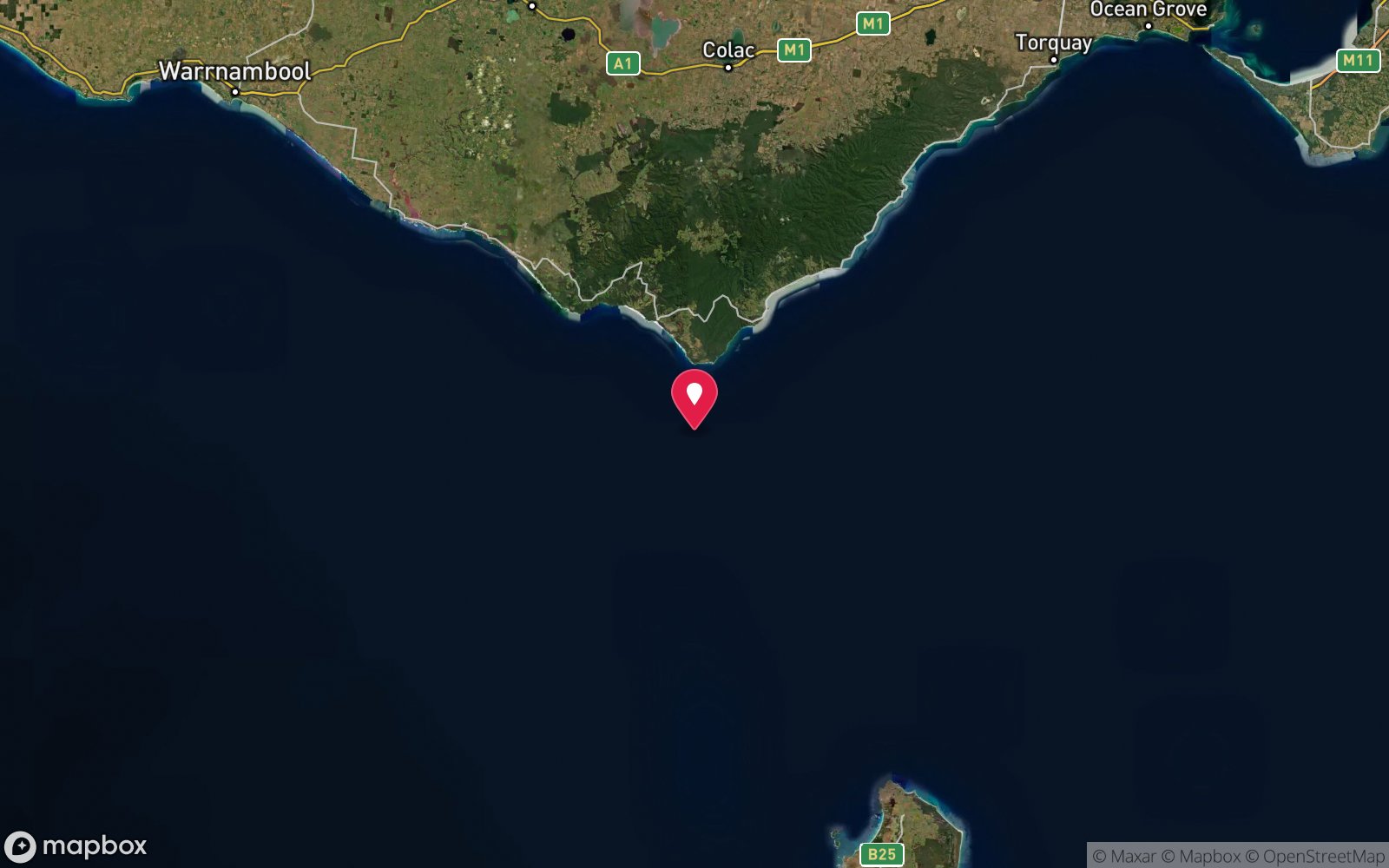
Point Danger, Torquay · Great Ocean Road – Surf Coast
-38.33600, 144.33100
Approximate position — not for navigation.
Open in Google MapsPrimary source: torquayhistory.comMarine park & permits
Point Danger Marine Sanctuary – no take; historic shipwreck protected under the Heritage Act 2017 (no permit to dive, no artefact removal)
Nearest recompression chamber
The Alfred (Melbourne)
Diving emergency: call 000, then DAN AP 1800 088 200.
Trip planner
Build a trip around Joseph H Scammell →
A day-by-day plan for Surf Coast & Great Ocean Road with this site locked in.
This guide is a planning aid. Conditions change daily — confirm with a local dive centre and dive within your training. Data & safety notes.
Dive profile
How this site rates
Scores are computed from the recorded data, not opinions. How?
At a glance
Joseph H Scammell is a wreck shore dive for experienced divers in Surf Coast & Great Ocean Road, VIC, 3–9 m, suited to Open Water divers, about 10 minutes by boat.
Rated intermediate because of surge on the entry or in the shallows, cold water.
Why dive here
- Torquay's founding shipwreck story on a shallow sanctuary reef; anchor and scattered iron among kelp gutters within a surface swim of the beach.
- Sunk in 1891 (Three-masted wooden clipper ship, c. 1,410 tons, c. 63 m); protected as underwater cultural heritage, so look but do not touch.
- Rarely dived: expect to have the site to yourself, and plan your own logistics.
Conditions to avoid
- Strong southerly or south-east swell and wind
- Afternoon north-easterlies
- Outgoing tide or run-off after rain (poor visibility)
About Joseph H Scammell
The Joseph H Scammell was a three-masted wooden clipper of about 1,410 tons, built in 1884 at Eatonville, New Brunswick, Canada, from Nova Scotian softwood at the very end of the era of large wooden sailing ships. Bound from New York to Melbourne with a general cargo valued at around £80,000 – tobacco, printing paper, sugar, kerosene, turpentine, medicines, clocks, organs, perambulators and hardware – she made her landfall in dirty weather on the night of 7 May 1891. Her master mistook the Torquay area lights for the approaches to Port Phillip and the ship struck the reef about 400 yards off Point Danger (then Point Angle). Everyone got ashore, but the ship broke up within a day and cargo washed along six kilometres of beach from Torquay to Bancoora, triggering a well-recorded bout of looting and a Customs stand-off with locals. The wreck was a founding event in Torquay's history and the town museum still displays salvaged pieces.
Underwater, little coherent structure survives of a softwood hull that broke up in a single day 130 years ago. The site is a reef dive with a wreck theme: divers and snorkellers on flat days find an anchor, iron knees and fastenings, ballast and concreted lumps of cargo scattered in sand-floored gutters between low sandstone reef ridges in 4–9 m. The reef itself, now part of the Point Danger Marine Sanctuary, carries mixed brown algae and kelp, ledges holding southern rock lobster and abalone, and the usual Surf Coast fish – wrasse, sweep, zebrafish, leatherjackets and the occasional weedy seadragon on the sand edges. It is a modest dive that is more about the history and the location than the artefacts, and it suits confident Open Water divers who can read surf and swim a few hundred metres on the surface. Relics are protected under the Heritage Act; look and photograph, do not lift.
Wreck details
Three-masted wooden clipper ship, c. 1,410 tons, c. 63 m · Sunk 1891 · Protected historic shipwreck
Era: colonial sail and steam. Oldest wrecks · Wartime wrecks · Scuttled warships
Other wrecks of the same era
- Fiji · Max 7 m · Shipwreck Coast & Warrnambool
- Holyhead · Max 10 m · Port Phillip Heads
- Newfield · Max 7 m · Shipwreck Coast & Warrnambool
- SS Alert · Max 75 m · Port Phillip Heads
- Edinburgh Castle · Max 5 m · Shipwreck Coast & Warrnambool
- SS Cheviot · Max 7 m · Port Phillip Heads
Getting there & entry
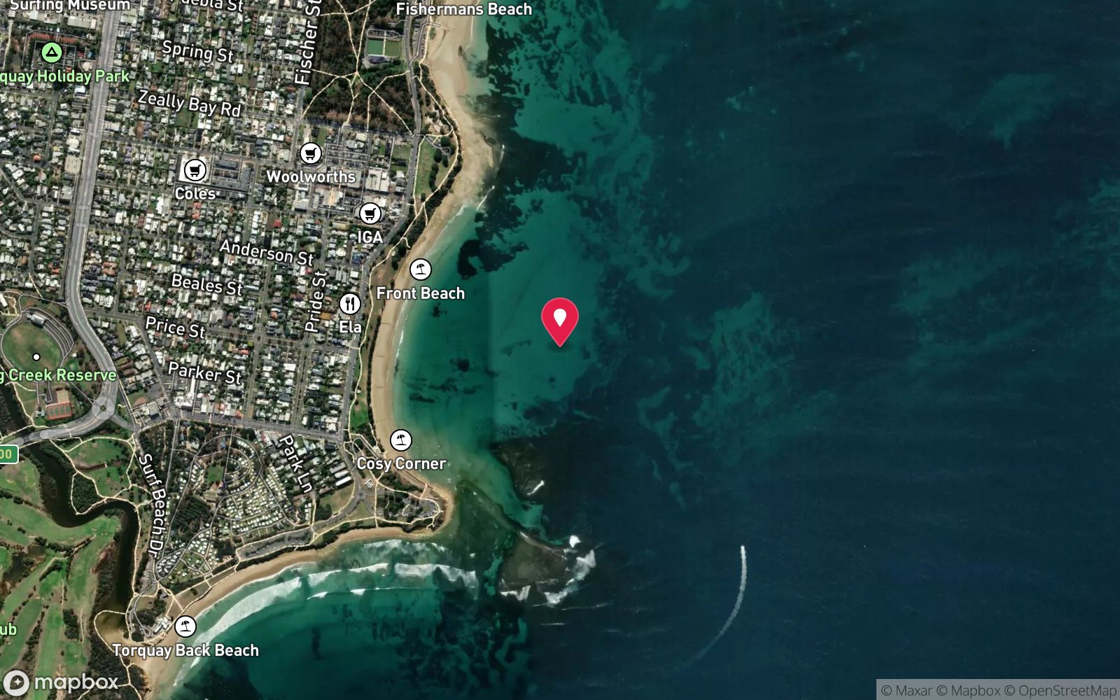
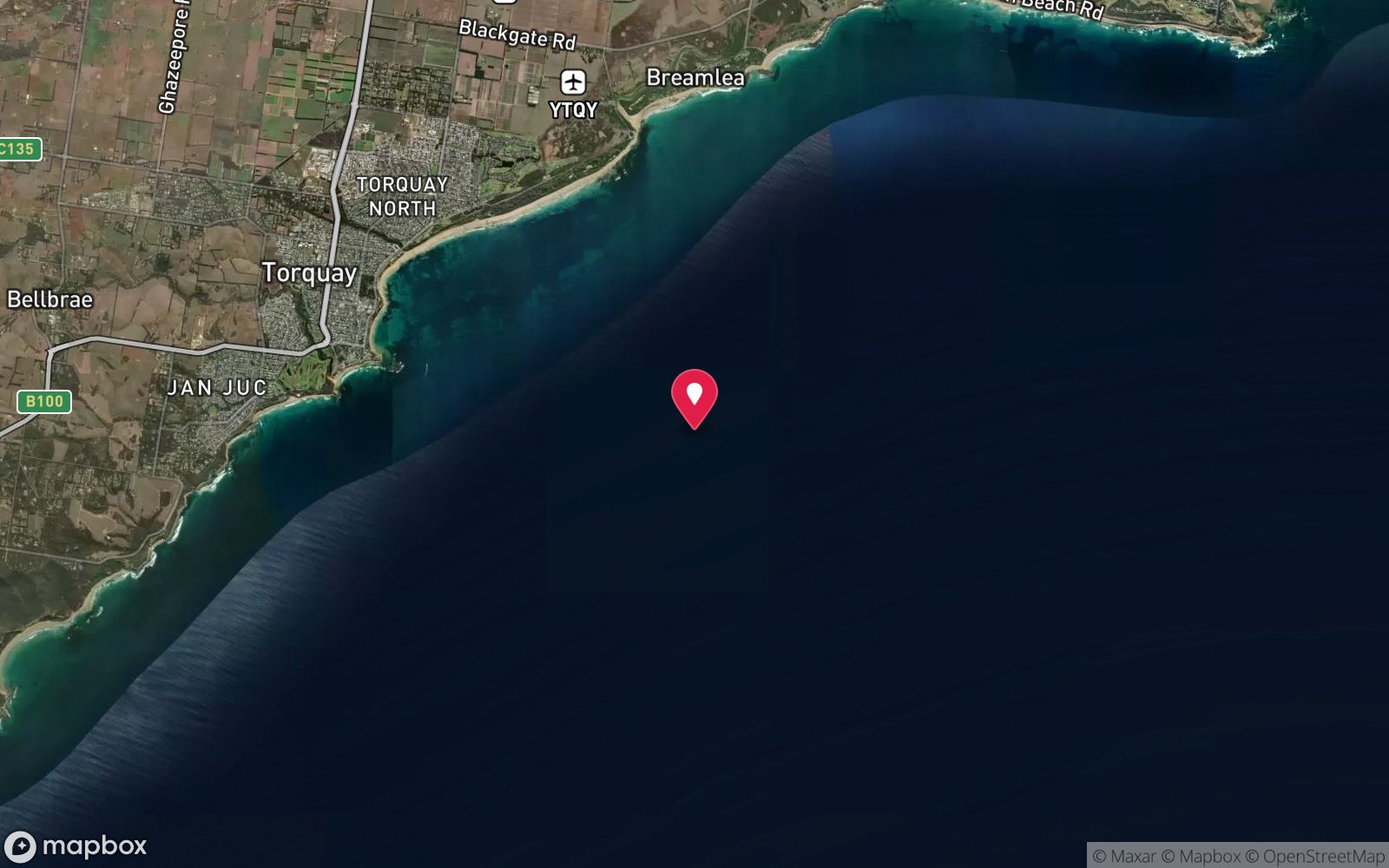
Scattered remains of an 1891 wooden clipper on the reef off Point Danger, Torquay, between the Front Beach and Cosy Corner, in the Point Danger Marine Sanctuary.
From Geelong take the Surf Coast Highway (B100) to Torquay, then The Esplanade south past the Front Beach to the Point Danger car park (about 1.5 km from the town centre). Park at the Point Danger or Cosy Corner car parks; the walk to the water is 50–150 m over grass and a sandy track. Enter from the sand at Cosy Corner on the east side of the point or from the rock platform on the west, and swim out toward the reef about 300–400 m off the point where the ship struck.
A small boat from the Fishermans Beach ramp (2 km north) puts you directly over the site in 10 minutes.
Entry: Beach or rock-platform entry from Cosy Corner / Point Danger in small swell, surface swim out; or small boat from Fishermans Beach ramp
Facilities: Point Danger and Cosy Corner car parks, toilets at the Front Beach and Cosy Corner, cafes on the Esplanade; nearest air fills in Geelong or Queenscliff.
Weather, swell & tides
Point Danger faces straight into the Bass Strait/Southern Ocean swell and is a surf break most of the year. Anything over about 1 m of south-west swell breaks across the reef and makes the site unworkable; aim for under 0.8 m and light north to north-east winds. Southerly and south-westerly winds pile white water onto the platform.
Visibility drops for days after strong onshore weather and after heavy rain from Spring Creek. Low to mid tide with a rising tide is easiest for the platform entry; avoid falling tide at dusk. Realistically diveable perhaps 20–30 days a year.
Best season: Late summer and autumn (Feb–May) after a run of northerlies; occasional flat winter days
If it's blown out
Sheltered or shore sites within 25 km that often work when Joseph H Scammell doesn't.
- Point Danger Marine Sanctuary (Torquay) · 0 km · Max 8 m
- Bird Rock, Jan Juc · 3 km · Max 8 m
- The Steps, Jan Juc · 4 km · Max 10 m
- Victoria Tower · 4 km · Max 8 m
How the dive is usually run
Swim out on the surface from Cosy Corner along the eastern edge of the platform until you are roughly 300 m off the point, descend onto the reef in 4–6 m and work west across the gutters looking for the anchor, iron fittings, ballast stones and concreted cargo. Turn on a third of your gas or when the surge builds, follow the reef back toward the point and surface inside the lee of the platform. No safety stop is needed at this depth; a slow ascent in the shallows is enough.
Marine life
- Southern rock lobster
- black-lip abalone
- blue-throat wrasse
- sea sweep
- zebrafish
- leatherjackets
- weedy seadragon (sand edges) →
- Port Jackson sharks in winter →
- smooth rays
Linked species have their own page listing every site where they are recorded. All marine life →
Training required
Shallow enough for snorkellers and for a first dive under supervision. Any certified diver can dive it.
Courses that help here
- Drysuit Diver – Cold water; locals dive dry for much of the year.
Depth tiers: 0–10 m easy · to 18 m Open Water · 18–30 m Advanced (25 m+ is a deep dive) · 30–40 m Deep specialty · 40 m+ technical. All courses
Hazards & warnings
Surf break across the reef in any real swell; rips either side of Point Danger; surge in the gutters; long surface swim; boat and jet-ski traffic in summer; exit back over the platform is slippery. Relics protected – no take. Nearest exit is Cosy Corner beach.
Dive centres that go here
No regular operator. Torquay-area clubs and Geelong dive shops (e.g. Dive Victoria Group in Queenscliff area, Torquay dive club members) visit occasionally; most visits are by local shore divers and snorkellers on flat days.
Operators recorded for Joseph H Scammell
Other dive centres in Surf Coast & Great Ocean Road
The Scuba Doctor
ProfiledRye · Melbourne & Port Phillip Bay · VIC
A Victorian equipment and service business with an extensive retail presence, located to serve both Melbourne and Mornington Peninsula divers.
scubadoctor.com.au · (03) 5985 3322
Bay City Scuba
ListedEast Geelong · Melbourne & Port Phillip Bay · VIC
A Victorian business associated with recreational and technical training alongside equipment and gas services.
baycityscuba.com · (03) 5248 1488
Divein2Scuba (Geelong Dive Centre)
ListedGeelong · Geelong & Bellarine · VIC
A Geelong business providing training, equipment and local diving support.
divein2scuba.com · (03) 5221 3342
Warrnambool Diving
Named by sitesWarrnambool · Shipwreck Coast & Warrnambool · VIC
Trades as Warrnambool Diving & Firearms.
divingandfirearms.com.au · (03) 5562 1685
Red Boats
Reported closedPortsea · Port Phillip Heads · VIC
TripAdvisor marks RedBoats Portsea as permanently closed (last review November 2021) and the domain is now an unrelated boating blog.
Map
7 pinned sites. Pins marked approximate on their pages show the general area only; not for navigation.
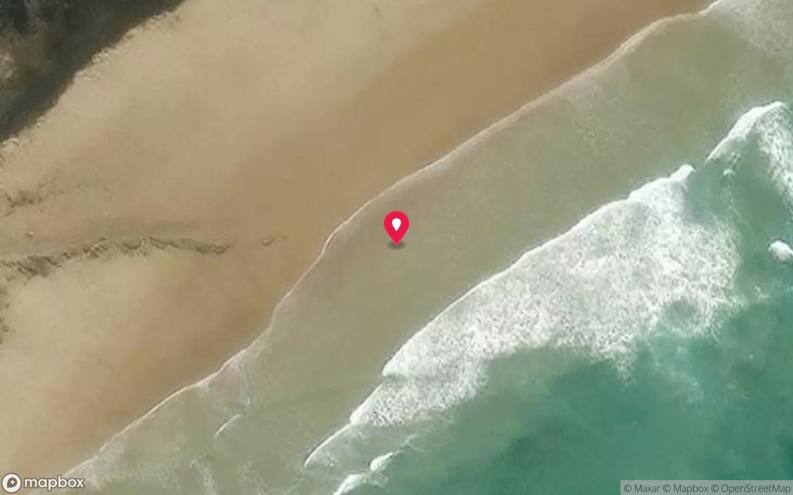
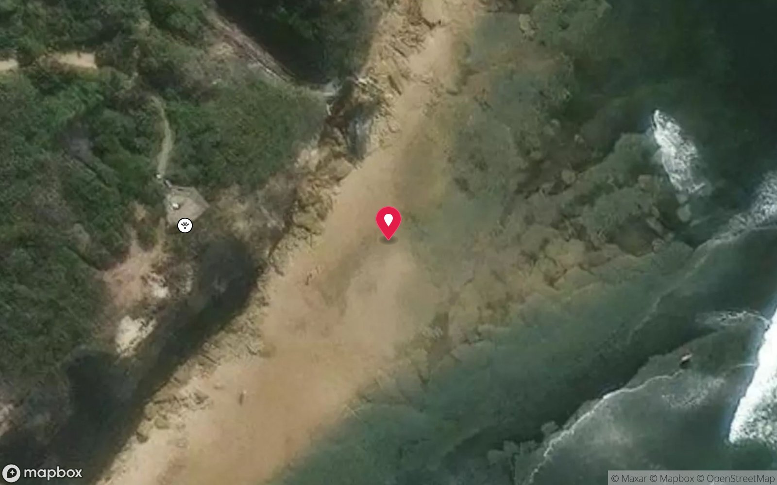
Satellite views
Joseph H Scammell: frequently asked questions
How deep is Joseph H Scammell?
Joseph H Scammell reaches a maximum depth of 9 m, with the shallowest part at about 3 m; most of the dive is spent around 6 m.
What certification do I need to dive Joseph H Scammell?
Open Water is the recommended minimum. Rated intermediate because of surge on the entry or in the shallows, cold water.
Can I shore dive Joseph H Scammell?
Experienced divers do dive Joseph H Scammell from the shore, but the entry or conditions make it unsuitable for newer divers without local guidance. Entry: Beach or rock-platform entry from Cosy Corner / Point Danger in small swell, surface swim out; or small boat from Fishermans Beach ramp.
When is the best time to dive Joseph H Scammell?
Late summer and autumn (Feb–May) after a run of northerlies; occasional flat winter days.
What marine life will I see at Joseph H Scammell?
Regularly recorded: Southern rock lobster, black-lip abalone, blue-throat wrasse, sea sweep, zebrafish, leatherjackets, weedy seadragon (sand edges), Port Jackson sharks in winter, smooth rays.
What wetsuit do I need at Joseph H Scammell?
7mm semi-dry with hood and gloves in summer; drysuit strongly preferred May–November.
How cold is the water at Joseph H Scammell?
Typically 17-20 °C in summer and 11-14 °C in winter.
What are the main hazards at Joseph H Scammell?
Surf break across the reef in any real swell; rips either side of Point Danger; surge in the gutters; long surface swim; boat and jet-ski traffic in summer; exit back over the platform is slippery. See the hazards section above for the full list.
Where is the nearest recompression chamber to Joseph H Scammell?
The Alfred (Melbourne). In an emergency call 000, then DAN Asia-Pacific on 1800 088 200.
Diving in Surf Coast & Great Ocean Road
Torquay, Anglesea, Lorne and Apollo Bay face the Southern Ocean, and diving is limited to flat days at the piers and reefs (Lorne Pier, Apollo Bay harbour, Point Addis). The deep offshore wrecks of the SS Casino and others suit technical divers with a boat.
Getting there: Ninety minutes to three hours from Melbourne along the Great Ocean Road. Pier and harbour shore dives; occasional charters from Apollo Bay.
All Surf Coast & Great Ocean Road dive sites and a suggested itinerary →
Sources
- torquayhistory.com/brief-history-of-torquay/shipwrecks-toquay-history/joseph-h-scammell
- vhd.heritagecouncil.vic.gov.au/shipwrecks/373
- en.wikipedia.org/wiki/Joseph_H._Scammell_(ship)
- parks.vic.gov.au/places-to-see/parks/point-danger-marine-sanctuary
Data confidence: Low · Being verified: Exact wreck position and depth (400 yards off Point Danger is historical); what remains visible today; coordinates approximate.. Last updated September 2026. Know this site better? How to send a correction
Nearby dive sites
More wrecks in Victoria
Explore more
This region
Similar dives