Dive slate · divesites.com.au · printed 8 Nov 2026
SS Milora
Port Phillip Heads, Victoria · near Barwon Heads
| Depth | 32–43 m |
|---|---|
| Minimum level | Technical (decompression) |
| Difficulty | Expert/Technical |
| Access | Boat (day trip) |
| Entry | Giant stride or backward roll from charter boat, descent on a shot line |
| Current | Mild |
| Visibility | 5-15 m |
| Water | summer 17-20 °C, winter 11-13 °C |
| Suit | Drysuit recommended year-round; 7 mm semi-dry with hood and gloves in summer only |
| Best season | Late summer to autumn (Feb–May) for settled seas and best visibility; diveable year-round in weather windows |
| Bottom time | 20 min |
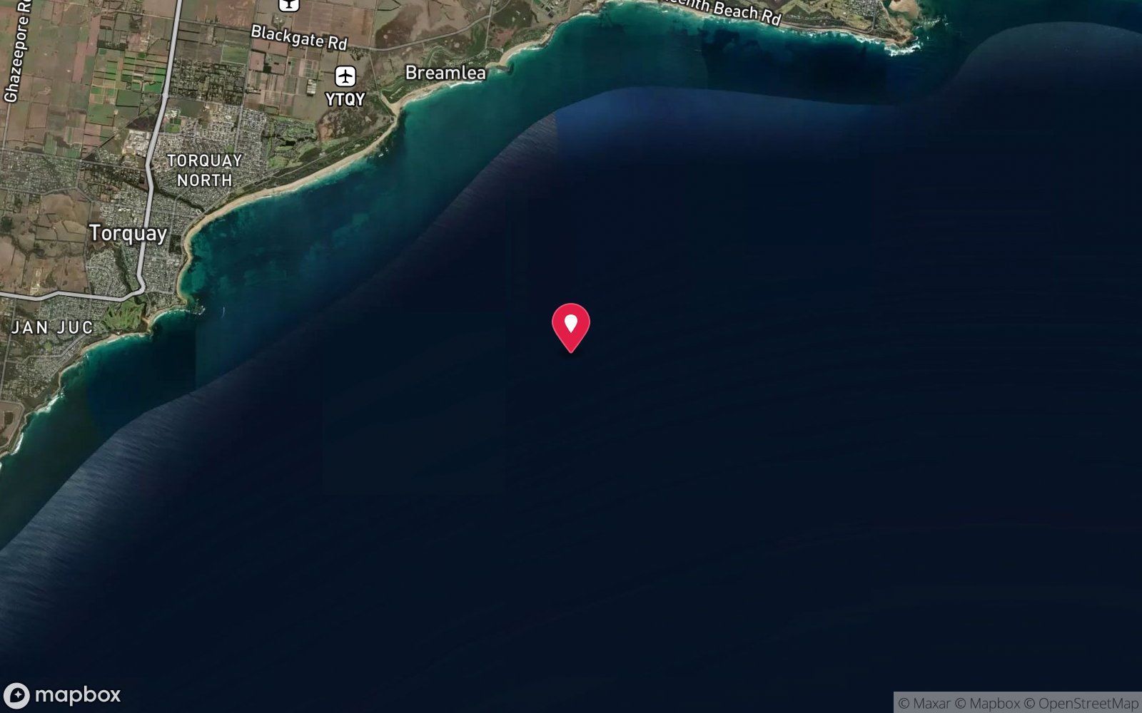
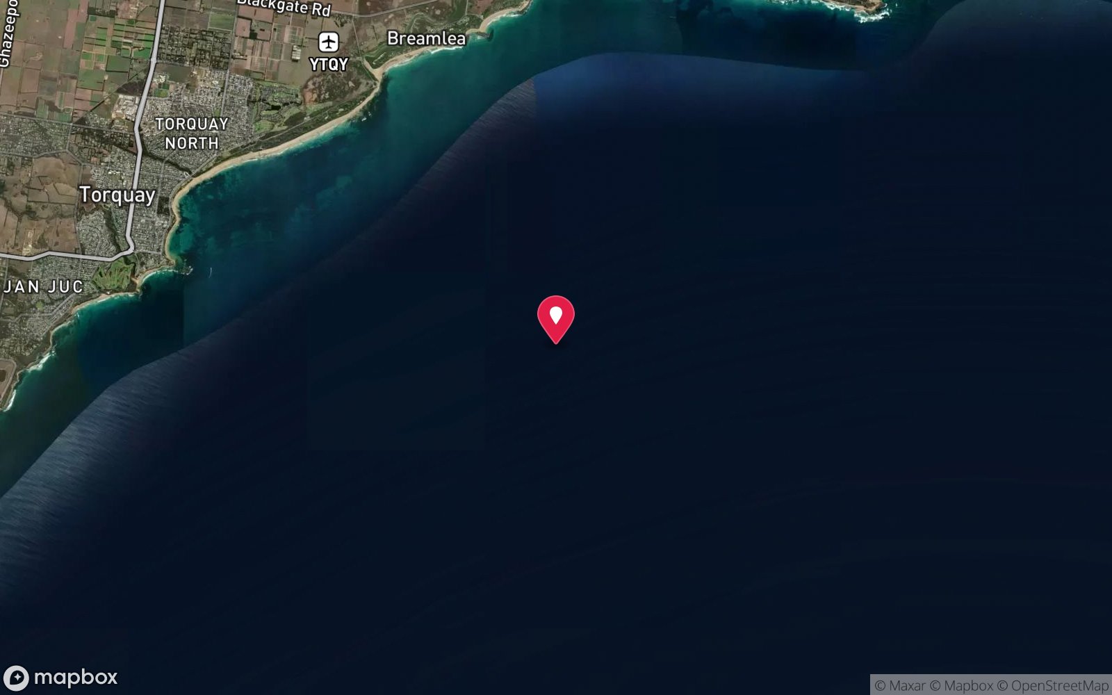
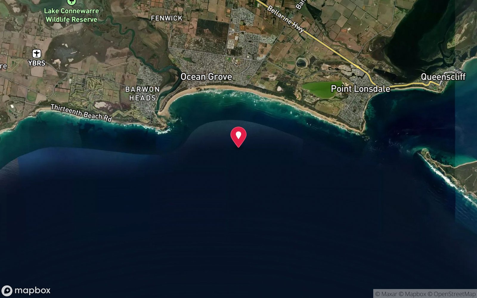
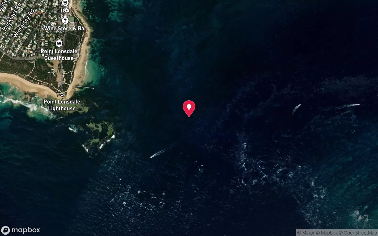
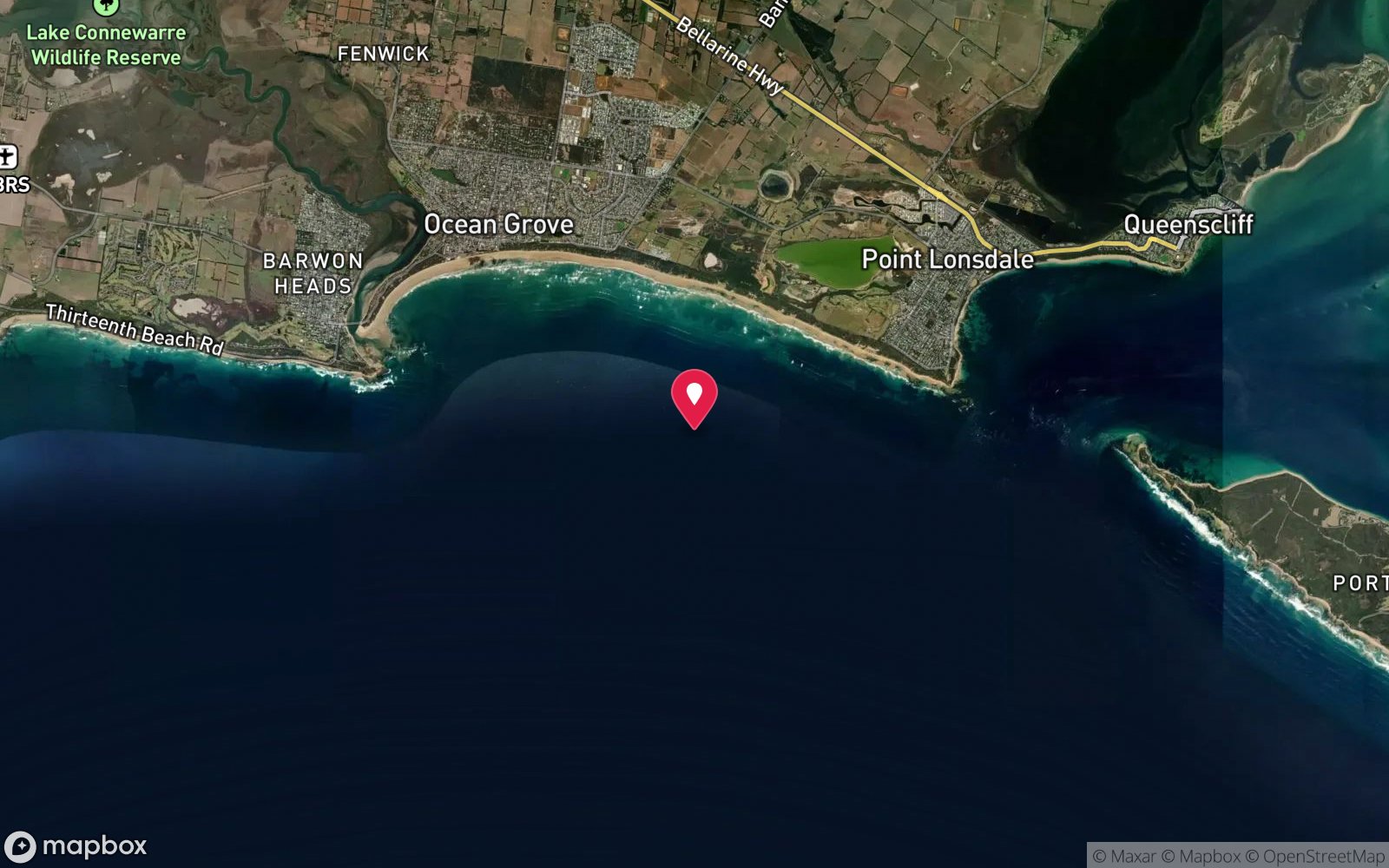
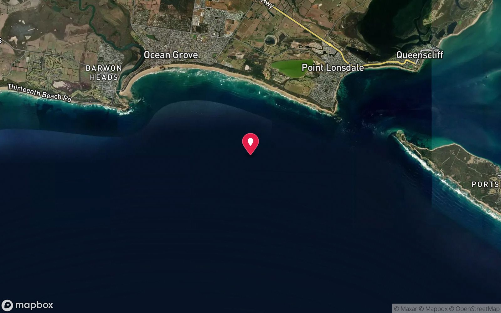
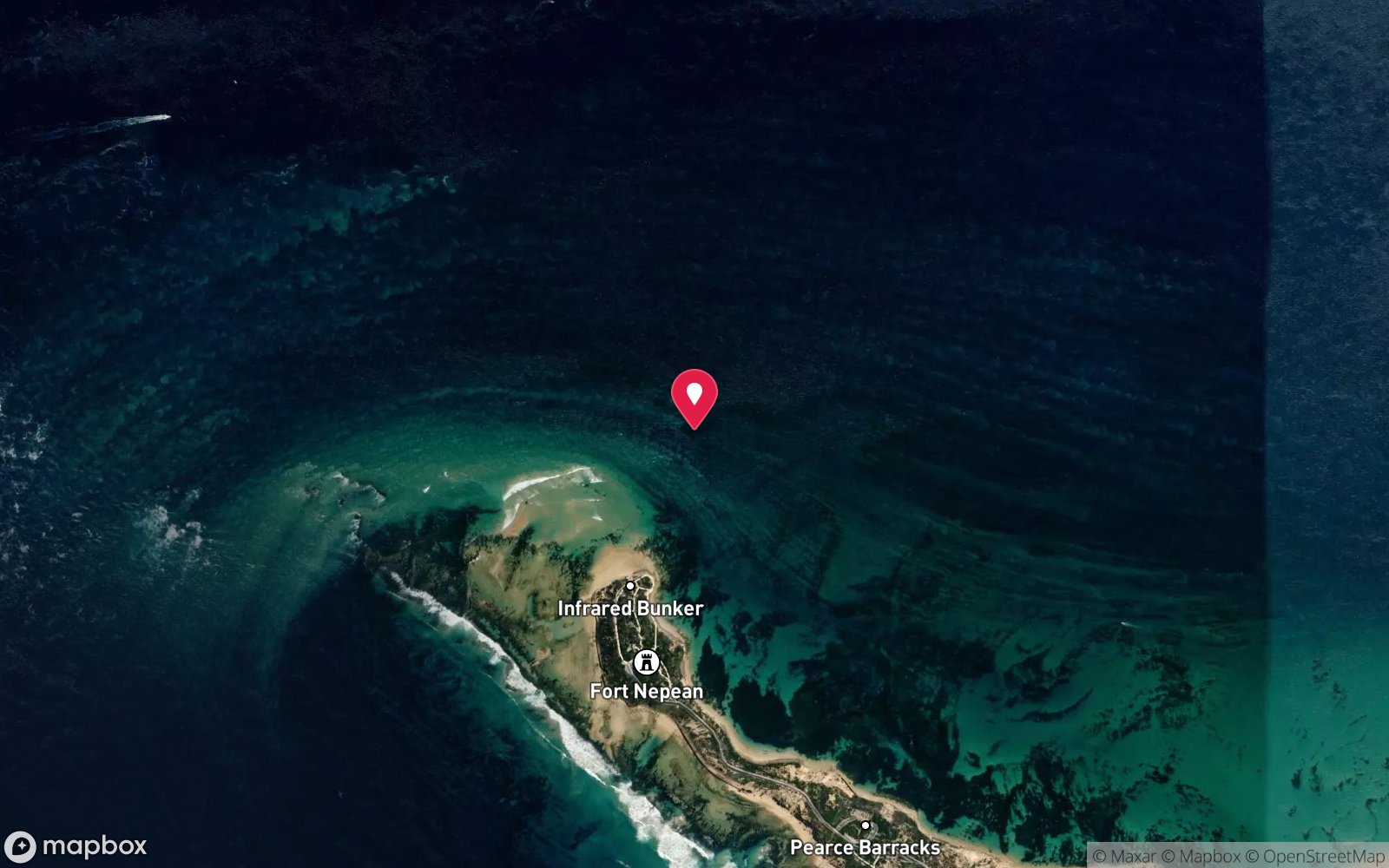
| Position | -38.35171, 144.38963 (GPS) |
| Permit | No marine park. Historic shipwreck protected under the Victorian Heritage Act 2017 and Commonwealth Underwater Cultural Heritage Act 2018 – look but do not touch, no artefact removal, no anchoring into the wreck. No dive permit required. |
| Nearest chamber | The Alfred (Melbourne) |
| Emergency | 000 · DAN Asia-Pacific diving emergency 1800 088 200 |
SS Milora
Also known as Milora, Emita
The largest wreck in the Graveyard – a 101 m collier standing 10–12 m off the sand with intact bow, standing cabin structure and stern ladders.
Near Barwon Heads · Port Phillip Heads, Victoria
- Depth
- 32–43 m
- Minimum level
- Technical (decompression)
- Access
- Boat (day trip)
- Boat ride
- ~45 min
- Water
- 17-20 °C
- Visibility
- 5-15 m
SS Milora32–43 m · Technical (decompression)
Dive factsDepths, conditions, location & safety
Season
Off-peak nowBest months: January, February, March, April, May, December.
Late summer to autumn (Feb–May) for settled seas and best visibility; diveable year-round in weather windows
- Best months
- Now (November)
Dive facts
- Depth
- 32–43 m
- Typical depth
- 40 m
- Certification
- Technical (decompression)
- Difficulty
- Expert/Technical
- Depth tier
- Technical (40 m +)
- Access
- Boat (day trip)
- Offshore
- 8 km
- Dive centre needed
- Yes – boat access only
- Shore / independent
- No
- Boat ride
- ~45 min
- Current
- Mild
- Visibility
- 5-15 m
- Water temp (summer)
- 17-20 °C
- Water temp (winter)
- 11-13 °C
- Water
- Cold Temperate
- Bottom time
- 20 min
- Dive traffic
- Moderate (occasional charters/club dives)
- Night dive
- No
- Snorkel friendly
- No
Exposure suit
Drysuit recommended year-round; 7 mm semi-dry with hood and gloves in summer only
Location
Ships' Graveyard · Port Phillip Heads & Bass Strait
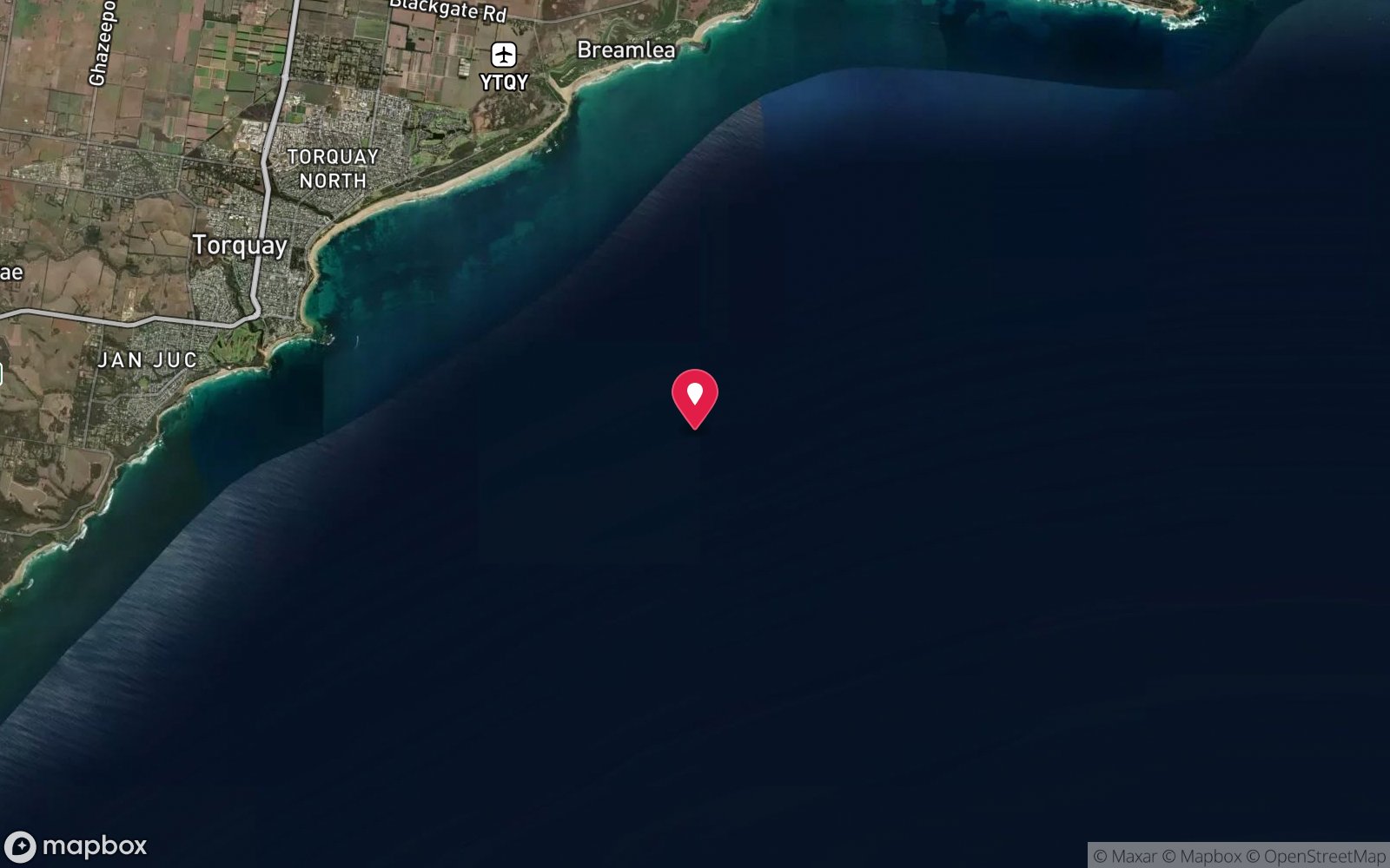
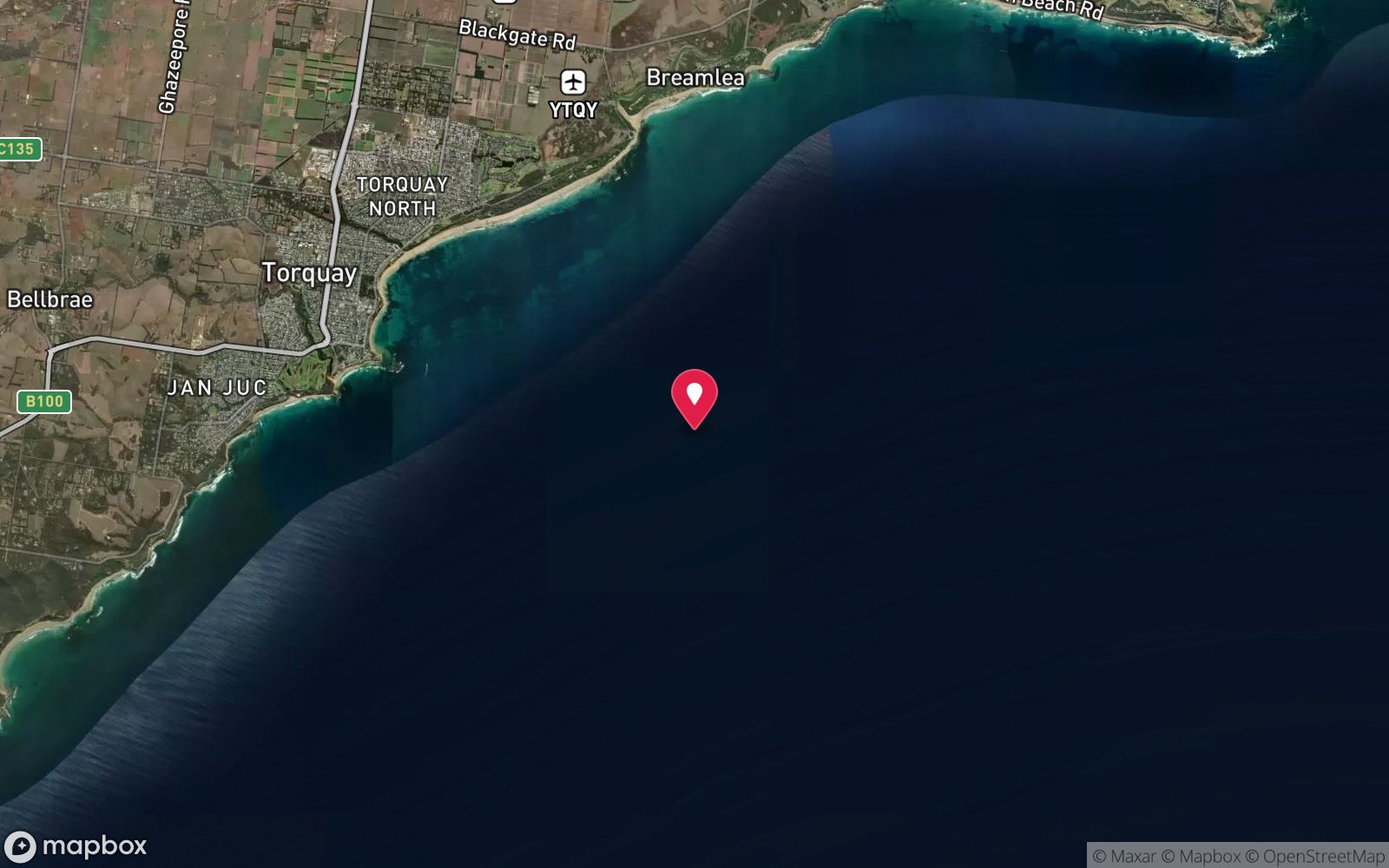
-38.35171, 144.38963
Published GPS position.
Open in Google MapsDive site map (external) →Primary source: scubadoctor.com.auMarine park & permits
No marine park. Historic shipwreck protected under the Victorian Heritage Act 2017 and Commonwealth Underwater Cultural Heritage Act 2018 – look but do not touch, no artefact removal, no anchoring into the wreck. No dive permit required.
Nearest recompression chamber
The Alfred (Melbourne)
Diving emergency: call 000, then DAN AP 1800 088 200.
Trip planner
Build a trip around SS Milora →
A day-by-day plan for Port Phillip Heads with this site locked in.
This guide is a planning aid. Conditions change daily — confirm with a local dive centre and dive within your training. Data & safety notes.
Dive profile
How this site rates
Scores are computed from the recorded data, not opinions. How?
At a glance
SS Milora is a wreck boat dive in Port Phillip Heads, VIC, 32–43 m, suited to Technical (decompression) divers, about 45 minutes by boat.
Rated expert/technical because of depth to 43 m, surge on the entry or in the shallows, boat traffic overhead, cold water.
Why dive here
- The largest wreck in the Graveyard – a 101 m collier standing 10–12 m off the sand with intact bow, standing cabin structure and stern ladders.
- Sunk in 1935 (Steel screw steamer (collier), 101 m (331 ft), 3,347 t); protected as underwater cultural heritage, so look but do not touch.
Conditions to avoid
- Swell above about 1 m
- Afternoon north-easterlies
- Strong westerlies
- Any time other than slack water
About SS Milora
Milora is the biggest ship in the Graveyard: a 3,347-ton, 101 m (331 ft) steel screw steamer built at Williamstown Naval Dockyard in 1920 as the Emita, one of the Commonwealth Government Line's locally built cargo ships, renamed Milora in 1926 when she went into the coal trade. On 21 September 1934 she grounded on Rondella Reef with a broken rudder; the damage was not worth repairing and, stripped of anything of value, she was towed out and scuttled on Friday 8 March 1935. She sits on sand in 43 m, oriented north–south with the bow to the south, and stands 10–12 m high – large sections of intact hull, listing to port, are interspersed with collapsed plating.
The bow is intact, with a hatch coaming on deck and a winch on the starboard side; amidships a large piece of cabin structure or wheelhouse still stands; and at the stern the rudder, stern gland and propeller shaft survive together with hull plating, girders and two iron companionway ladders. There is penetration inside the stern for those trained and equipped. The scale is unlike anything else in Victoria short of the Canberra, and a 20-minute bottom time only allows one lap.
The trade-off is water quality. The wreck lies in the plume of the Barwon River, and the Scuba Doctor notes there is little marine growth on the steel for that reason; visibility is often 5–10 m and silty rather than the 20 m sometimes found on the eastern subs. Fish life is still good – schooling bullseyes, ling, boarfish and crayfish in the plating.
Milora is a decompression dive by any measure, but with the bow top at about 32 m it is also the friendliest of the western Graveyard wrecks and the usual first western wreck for Melbourne technical divers. Dive it after a dry spell for the best chance of clear water.
Wreck details
Steel screw steamer (collier), 101 m (331 ft), 3,347 t · Sunk 1935 · Protected historic shipwreck
Era: early 20th century. Oldest wrecks · Wartime wrecks · Scuttled warships
Getting there & entry
Western end of the Ships' Graveyard about 8 km south of Barwon Heads, the westernmost and largest wreck in the field.
Boat only. The western end of the Ships' Graveyard sits 8–12 km south of Barwon Heads and is normally reached from Queenscliff Harbour (Red Boats, Dive Victoria Group technical charters) – a 40–60 minute run out through The Rip and west along the Bellarine coast – or occasionally from the Barwon Heads river ramp in a small boat when the bar is flat. Drive Melbourne–Queenscliff via the Geelong Ring Road and Bellarine Highway (about 1 h 40 min).
Technical charters usually load at the harbour before dawn to get the wreck dived before the afternoon sea breeze. Private boats need a reliable sounder and the published GPS marks, as nothing shows on the surface.
Entry: Giant stride or backward roll from charter boat, descent on a shot line
Facilities: Departure from Queenscliff Harbour (parking, toilets, cafes, fills at Dive Victoria/Queenscliff Dive Centre) or Portsea Pier (parking on Point Nepean Road, toilets, cafes).
Weather, swell & tides
Fully exposed Bass Strait. South-westerly swell is the killer: most charters will not run on a forecast over about 1.5 m, and anything from the south or west over 2 m makes the site undiveable and the passage through The Rip dangerous. Northerly and north-easterly winds flatten the sea; a calm morning after several settled days gives the best visibility (often 15–25 m in autumn and winter).
Surge is felt on the wreck in any swell over 1 m. Tidal streams outside The Heads are weaker than inside but still run; charters aim for slack water at Port Phillip Heads or a favourable tide for the transit. Winter westerlies close the site for weeks at a time.
The wreck sits in or near the shipping approach and pilot boarding ground, so a shot line, surface cover and a delayed SMB are mandatory.
Best season: Late summer to autumn (Feb–May) for settled seas and best visibility; diveable year-round in weather windows
If it's blown out
Sheltered or shore sites within 25 km that often work when SS Milora doesn't.
- Nepean Bay · 24 km · Max 12 m
- Victoria Tower · 4 km · Max 8 m
- Joseph H Scammell · 5 km · Max 9 m
- Point Danger Marine Sanctuary (Torquay) · 6 km · Max 8 m
How the dive is usually run
Shot onto the intact bow (top around 32 m). Follow the port side aft past the hatch coamings and winch to the standing wheelhouse/cabin section amidships, then continue to the stern to see the rudder, stern gland and the two iron companionway ladders (43 m on the sand). Return along the starboard side at deck level (36–38 m) to the shot. 20 minutes gives a full lap; decompress on the shot or a trapeze.
Marine life
- Bullseyes
- ling
- boarfish
- sweep
- southern rock lobster
- leatherjackets; sparse encrusting growth because of Barwon River silt
Linked species have their own page listing every site where they are recorded. All marine life →
Training required
Beyond recreational limits: decompression, mixed gas or full cave/wreck training is required.
Courses that help here
- Enriched Air Nitrox – Longer no-decompression time at 25 m and deeper.
- Drysuit Diver – Cold water; locals dive dry for much of the year.
- Peak Performance Buoyancy – Silt and low visibility punish poor trim.
Depth tiers: 0–10 m easy · to 18 m Open Water · 18–30 m Advanced (25 m+ is a deep dive) · 30–40 m Deep specialty · 40 m+ technical. All courses
Hazards & warnings
Exposed Bass Strait swell and surge; depth and mandatory decompression planning; shipping channel and pilot boarding ground – ascend on the shot with a DSMB; cold water; silt inside the hull; jagged steel and entanglement in trawl net or fishing line; long boat run and limited weather windows. Silt and reduced visibility from the Barwon River; complex, unstable structure with entanglement risk; long boat run.
Technical notes
Technical (decompression) dive. Normoxic trimix (e.g. 21/35 or 18/45) recommended; 20 min bottom time gives roughly 25–40 min of decompression on EAN50 and oxygen. Air dives to this depth are strongly discouraged.
Drop a weighted shot on the wreck, use a delayed SMB from the wreck or a decompression trapeze under the boat; the site is in a shipping approach so free-drifting deco is discouraged. Planked around 36–38 m average depth; EAN28/EAN50 or 21/35 trimix are both common.
Dive centres that go here
Red Boats (Queenscliff) and Dive Victoria Group run technical charters to the Milora several times a season; it is the most-dived of the western Graveyard wrecks because so much structure stands within 32–40 m. Otherwise private technical boats.
Operators recorded for SS Milora
Scubabo Dive Victoria (Dive Victoria Group)
Named by sitesQueenscliff · Port Phillip Heads · VIC
Rebranded as Scubabo Dive Victoria, Queenscliff; dive.scubabo.com is live for 2026 with active charter bookings.
dive.scubabo.com · (03) 5258 1188
Red Boats
Reported closedPortsea · Port Phillip Heads · VIC
TripAdvisor marks RedBoats Portsea as permanently closed (last review November 2021) and the domain is now an unrelated boating blog.
Other dive centres in Port Phillip Heads
The Scuba Doctor
ProfiledRye · Melbourne & Port Phillip Bay · VIC
A Victorian equipment and service business with an extensive retail presence, located to serve both Melbourne and Mornington Peninsula divers.
scubadoctor.com.au · (03) 5985 3322
Diveline Scuba Centre
ListedFrankston · Melbourne & Port Phillip Bay · VIC
A Victorian business associated with technical training and gas support alongside recreational courses.
diveline.com.au · (03) 9783 7166
Aquability
ListedMordialloc · Melbourne & Port Phillip Bay · VIC
A Victorian operation associated with technical diving training. Exact agency, course levels and gas support require verification.
aquability.com.au · (03) 9587 1811
Bay City Scuba
ListedEast Geelong · Melbourne & Port Phillip Bay · VIC
A Victorian business associated with recreational and technical training alongside equipment and gas services.
baycityscuba.com · (03) 5248 1488
Scuba Culture
ListedBurwood · Melbourne & Port Phillip Bay · VIC
A Melbourne business providing training and equipment support for local divers.
scubaculture.com.au · (03) 9808 0033
Scubabo Dive Victoria (Queenscliff)
ListedQueenscliff · Geelong & Bellarine · VIC
A Queenscliff operation, strategically located for access toward Port Phillip Heads.
dive.scubabo.com · (03) 5258 1188
Map
7 pinned sites. Pins marked approximate on their pages show the general area only; not for navigation.
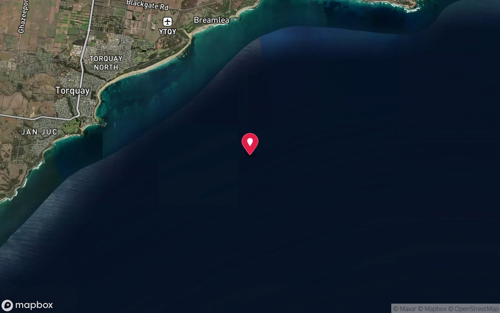
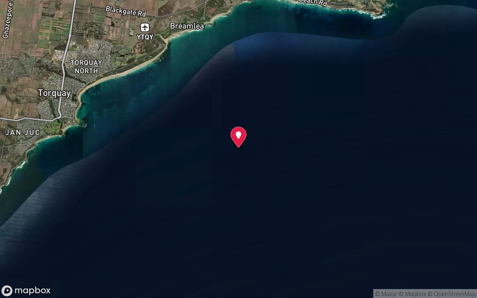
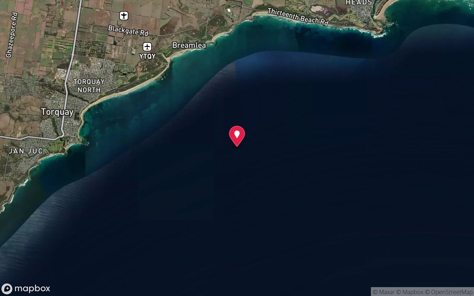
Satellite views
SS Milora: frequently asked questions
How deep is SS Milora?
SS Milora reaches a maximum depth of 43 m, with the shallowest part at about 32 m; most of the dive is spent around 40 m.
What certification do I need to dive SS Milora?
Technical (decompression) is the recommended minimum. Rated expert/technical because of depth to 43 m, surge on the entry or in the shallows, boat traffic overhead, cold water.
Can I shore dive SS Milora?
No, it is reached by boat (about 45 minutes). A dive centre is required: boat access only.
When is the best time to dive SS Milora?
Late summer to autumn (Feb–May) for settled seas and best visibility; diveable year-round in weather windows.
What marine life will I see at SS Milora?
Regularly recorded: Bullseyes, ling, boarfish, sweep, southern rock lobster, leatherjackets; sparse encrusting growth because of Barwon River silt.
What wetsuit do I need at SS Milora?
Drysuit recommended year-round; 7 mm semi-dry with hood and gloves in summer only.
How cold is the water at SS Milora?
Typically 17-20 °C in summer and 11-13 °C in winter.
What are the main hazards at SS Milora?
Exposed Bass Strait swell and surge; depth and mandatory decompression planning; shipping channel and pilot boarding ground – ascend on the shot with a DSMB; cold water; silt inside the hull; jagged steel and entanglement in trawl net or fishing line; long boat run and limited weather windows. See the hazards section above for the full list.
Where is the nearest recompression chamber to SS Milora?
The Alfred (Melbourne). In an emergency call 000, then DAN Asia-Pacific on 1800 088 200.
Diving in Port Phillip Heads
The entrance to Port Phillip Bay is a 3 km gap through which the whole bay drains and fills twice a day, and the currents have carved walls, canyons and caves in the limestone: Lonsdale Wall, Nepean Wall, the Boulders, the Cave, the Canyons and Popes Eye. Outside the Heads lies the Ships' Graveyard, with more than 40 scuttled vessels including the J1, J2, J4 and J5 submarines, the SS Coogee and the Eliza Ramsden. Every dive here is on slack water and every dive is from a charter.
Getting there: Charters from Queenscliff, Portsea and Sorrento, timed to the slack. Ninety minutes from Melbourne.
All Port Phillip Heads dive sites and a suggested itinerary →
Sources
- scubadoctor.com.au/divesite.htm?site=Milora
- scubadoctor.com.au/victorian-ships-graveyard.htm
- divernet.com/scuba-diving/general-wrecks/victoria-wreck-diving-australia
- torquayhistory.com/shipwrecks-toquay-history
Data confidence: High. Last updated September 2026. Know this site better? How to send a correction