Dive slate · divesites.com.au · printed 7 Nov 2026
Lady Cheryl
Port Phillip Heads, Victoria · near Portsea
| Depth | 6–14 m |
|---|---|
| Minimum level | Open Water |
| Difficulty | Intermediate |
| Access | Boat |
| Entry | Giant stride or backward roll from a live boat onto a drop-shot; free ascent under DSMB, pick-up by boat |
| Current | Variable/Tidal |
| Visibility | 5-15 m |
| Water | summer 17-20 °C, winter 11-14 °C |
| Suit | 7 mm semi-dry with hood and gloves, or drysuit; drysuit strongly preferred May–November |
| Best season | Year-round on slack water; February–May usually gives the calmest seas and clearest water |
| Bottom time | 40 min |
| Position | -38.29893, 144.65392 (GPS) |
| Permit | Within Port Phillip Heads Marine National Park (Point Nepean section) – no take; not a historic shipwreck (post-1937 rules do not apply) but no salvage |
| Nearest chamber | The Alfred Hospital hyperbaric unit (Melbourne) |
| Emergency | 000 · DAN Asia-Pacific diving emergency 1800 088 200 |
Lady Cheryl
A 27 m steel trawler lost in 2012 on the reef inside Point Nepean – upright, intact, wheelhouse in place and a huge starboard gash for trained divers to enter, in 6–14 m; the Heads' newest and most complete wreck.
Near Portsea · Port Phillip Heads, Victoria
- Depth
- 6–14 m
- Minimum level
- Open Water
- Access
- Boat
- Boat ride
- ~10 min
- Water
- 17-20 °C
- Visibility
- 5-15 m
Lady Cheryl6–14 m · Open Water
Dive factsDepths, conditions, location & safety
Season
Off-peak nowBest months: February, March, April, May.
Year-round on slack water; February–May usually gives the calmest seas and clearest water
- Best months
- Now (November)
Dive facts
- Depth
- 6–14 m
- Typical depth
- 10 m
- Certification
- Open Water
- Difficulty
- Intermediate
- Depth tier
- Open Water (10–18 m)
- Access
- Boat
- Offshore
- 0.4 km
- Dive centre needed
- Yes – boat access only
- Shore / independent
- No
- Boat ride
- ~10 min
- Current
- Variable/Tidal
- Visibility
- 5-15 m
- Water temp (summer)
- 17-20 °C
- Water temp (winter)
- 11-14 °C
- Water
- Temperate
- Bottom time
- 40 min
- Dive traffic
- Popular (weekly charters)
- Night dive
- Possible
- Snorkel friendly
- No
Exposure suit
7 mm semi-dry with hood and gloves, or drysuit; drysuit strongly preferred May–November
Location
Nepean Bay (inside Point Nepean) · Port Phillip Heads – Mornington Peninsula
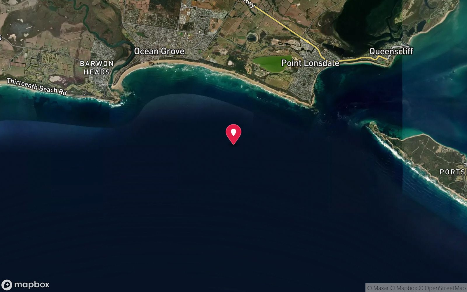
-38.29893, 144.65392
Published GPS position.
Open in Google MapsDive site map (external) →Primary source: scubadoctor.com.auMarine park & permits
Within Port Phillip Heads Marine National Park (Point Nepean section) – no take; not a historic shipwreck (post-1937 rules do not apply) but no salvage
Nearest recompression chamber
The Alfred Hospital hyperbaric unit (Melbourne)
Diving emergency: call 000, then DAN AP 1800 088 200.
Trip planner
Build a trip around Lady Cheryl →
A day-by-day plan for Port Phillip Heads with this site locked in.
This guide is a planning aid. Conditions change daily — confirm with a local dive centre and dive within your training. Data & safety notes.
Dive profile
How this site rates
Scores are computed from the recorded data, not opinions. How?
At a glance
Lady Cheryl is a wreck boat dive in Port Phillip Heads, VIC, 6–14 m, suited to Open Water divers, variable/tidal current, about 10 minutes by boat.
Rated intermediate because of tidal current that must be timed, boat traffic overhead, wreck penetration options that need training, cold water.
Why dive here
- A 27 m steel trawler lost in 2012 on the reef inside Point Nepean – upright, intact, wheelhouse in place and a huge starboard gash for trained divers to enter, in 6–14 m; the Heads' newest and most complete wreck.
- Sunk in 2012 (Steel stern trawler, 157 GRT, 27 m, built 1987).
Conditions to avoid
- Swell above about 2 m
- Any time other than slack water
About Lady Cheryl
The Lady Cheryl is the newest wreck at Port Phillip Heads and the most intact. She was a 27 m steel stern trawler of 157 gross tons, built in 1987 as a purpose-designed deep-sea commercial fishing vessel with a forward wheelhouse. On 24 March 2012, entering Port Phillip, her master mistook the landmarks and ran her onto the reef at Point Nepean; she was refloated briefly, but she had been holed below the waterline and 'commenced sinking rapidly', settling on the reef just inside the point. All five crew were rescued. About 30,000 litres of diesel escaped into the bay, and the wreck was left where it lay once the fuel had been dealt with.
A decade on she is a good dive. She sits in 6–14 m on the reef between Nepean Bay and the entrance, upright enough to be readable as a ship, with her wheelhouse, deck and stern-trawling gear still in place and, as the Scuba Doctor listing notes, 'a huge gash along the starboard side giving access to the internals of the wreck' – the hole that sank her, now the way in for divers with the training to enter. The steel has been colonised quickly in the Heads current: sponges, ascidians and zoanthids on the hull, kelp on the upper works, and the fish of the Nepean reefs in and around her – bullseyes and old wives in the hull, blue devils under the stern, leatherjackets, wrasse and magpie perch over the deck, crayfish in the debris and cuttlefish in winter.
Shallow, intact and inside the Heads, she has become one of the Portsea fleet's regular wreck dives and a wreck-specialty training site, dived at slack water because of the entrance tide. The Empress of the Sea lies 590 m to the east in Nepean Bay, and the two make a contrasting pair: a 1853 clipper reduced to keel and ballast, and a 1987 trawler still wearing her wheelhouse.
Wreck details
Steel stern trawler, 157 GRT, 27 m, built 1987 · Sunk 2012
Era: modern, mostly scuttled as artificial reefs. Oldest wrecks · Wartime wrecks · Scuttled warships
Other wrecks of the same era
- ex-HMAS Canberra · Max 32 m · Port Phillip Heads
- ex-HMAS Adelaide · Max 32 m · Central Coast
- Amanda Lee · Max 28 m · Darwin Offshore & Artificial Reefs
- Amelia C · Max 28 m · Darwin Offshore & Artificial Reefs
- Antares and Steel Barge · Max 28 m · Darwin Offshore & Artificial Reefs
- Merindah Pearl · Max 28 m · Darwin Offshore & Artificial Reefs
Getting there & entry
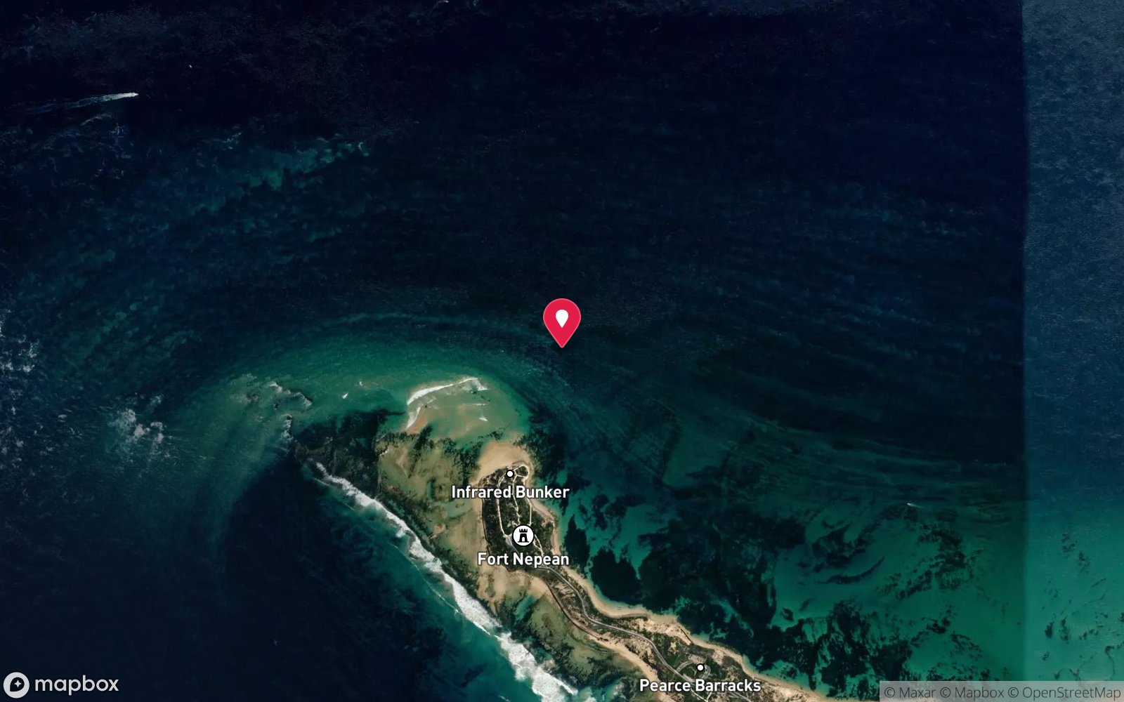
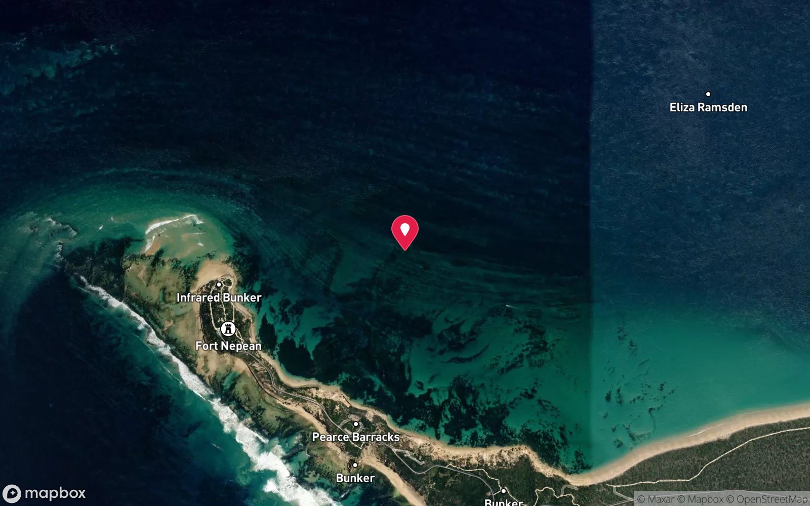
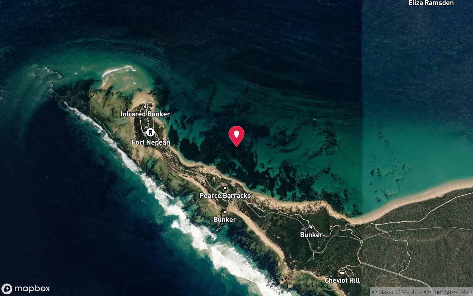
On the reef off the inside of Point Nepean about 600 m north-west of Nepean Bay, 589 m west-north-west of the Empress of the Sea, where the trawler grounded and sank in 2012.
Boat access only. Charter boats leave from Portsea Pier (Dive Victoria Group, Bayplay) and Queenscliff Harbour (Dive Victoria Group, Red Boats); run time is about 10 minutes. Private boats launch at Sorrento Boat Ramp (Point Nepean Road, Sorrento, all-tide concrete ramp with trailer parking) or Queenscliff Boat Harbour ramp (Larkin Parade, Queenscliff), roughly 12 minutes to the site.
The site is just inside Point Nepean on the reef between Nepean Bay and the entrance, 10 minutes west of Portsea Pier; the pilot boats and ferry pass close and a flag is required. Skippers must call Lonsdale VTS (Point Lonsdale) or listen to VHF 12 for shipping movements before dropping divers, and must carry a dive flag; anchoring is not permitted in the shipping channel, so a live boat and a drop-shot or drift float is the normal method.
Entry: Giant stride or backward roll from a live boat onto a drop-shot; free ascent under DSMB, pick-up by boat
Weather, swell & tides
It is dived only on slack water, either at the end of the flood (SWF) or the end of the ebb (SWE); most operators prefer the flood slack so that any residual current sets into the bay rather than out to sea. Slack water at Port Phillip Heads does not coincide with high or low water: it falls roughly three hours after high or low water at Point Lonsdale, and the usable window is typically 20–40 minutes. Use the Ports Victoria / Port of Melbourne slack-water predictions for The Heads (also republished by charter operators and WillyWeather 'Rip Bank') rather than a standard tide table.
Inside the Heads it is sheltered from most swell, but a south-west swell over about 2 m still surges across the top of the wall and a westerly or south-westerly wind over 15–20 knots makes the boat work unpleasant; big seas outside drop visibility to a few metres for a day or two. Visibility is best in late summer and autumn (Feb–May) when the water is clear and the westerlies have eased; winter brings 11–13 °C water and bigger swells but often the clearest days after a run of settled weather. Heavy rain has little effect this close to the ocean.
Close to the entrance on the Nepean side, so the tide is felt strongly and slack water is the rule; sheltered from southerlies, exposed to northerlies.
Best season: Year-round on slack water; February–May usually gives the calmest seas and clearest water
If it's blown out
Sheltered or shore sites within 25 km that often work when Lady Cheryl doesn't.
- Portsea Pier · 6 km · Max 7 m
- Chinamans Hat · 6 km · Max 12 m
- Blairgowrie Pier · 12 km · Max 7 m
- Rye Pier · 17 km · Max 7 m
How the dive is usually run
Shot onto the wheelhouse or the high side at 6–8 m at slack. Circle the 27 m hull on the sand at 12–14 m, look into the gash along the starboard side with a torch (trained divers with a line and buddy can enter the open sections), then finish over the deck and superstructure before ascending the shot or a DSMB.
Marine life
- Sponges
- ascidians
- zoanthids
- kelp
- bullseyes
- old wife
- southern blue devil →
- leatherjackets
- bluethroat wrasse
- magpie perch
- southern rock lobster
- giant cuttlefish →
- Australian fur seal →
Linked species have their own page listing every site where they are recorded. All marine life →
Training required
Within the 18 m limit of an entry-level certification.
Courses that help here
- Wreck Diver – The wreck has penetration options.
- Drysuit Diver – Cold water; locals dive dry for much of the year.
- Peak Performance Buoyancy – Silt and low visibility punish poor trim.
Depth tiers: 0–10 m easy · to 18 m Open Water · 18–30 m Advanced (25 m+ is a deep dive) · 30–40 m Deep specialty · 40 m+ technical. All courses
Hazards & warnings
Tidal current near the entrance – slack water only; ferry and pilot-boat traffic – flag; penetration only for trained divers with a line, sharp steel and silt inside; deteriorating structure; cold water
Technical notes
Penetration through the starboard gash is possible for wreck-trained divers with line and lights; hull is deteriorating – check condition on the day.
Dive centres that go here
Dive Victoria Group and Bayplay (Portsea) – regular, as a shallow wreck dive and wreck-specialty training site; Red Boats (Queenscliff) – frequent; private boats from Sorrento.
Operators recorded for Lady Cheryl
The Scuba Doctor
ProfiledRye · Melbourne & Port Phillip Bay · VIC
A Victorian equipment and service business with an extensive retail presence, located to serve both Melbourne and Mornington Peninsula divers.
scubadoctor.com.au · (03) 5985 3322
Diveline Scuba Centre
ListedFrankston · Melbourne & Port Phillip Bay · VIC
A Victorian business associated with technical training and gas support alongside recreational courses.
diveline.com.au · (03) 9783 7166
Scubabo Dive Victoria (Dive Victoria Group)
Named by sitesQueenscliff · Port Phillip Heads · VIC
Rebranded as Scubabo Dive Victoria, Queenscliff; dive.scubabo.com is live for 2026 with active charter bookings.
dive.scubabo.com · (03) 5258 1188
Bayplay
Named by sitesPortsea · Port Phillip Heads · VIC
PADI dive resort and adventure tours.
bayplay.com.au · (03) 5984 0888
Red Boats
Reported closedPortsea · Port Phillip Heads · VIC
TripAdvisor marks RedBoats Portsea as permanently closed (last review November 2021) and the domain is now an unrelated boating blog.
Other dive centres in Port Phillip Heads
Aquability
ListedMordialloc · Melbourne & Port Phillip Bay · VIC
A Victorian operation associated with technical diving training. Exact agency, course levels and gas support require verification.
aquability.com.au · (03) 9587 1811
Bay City Scuba
ListedEast Geelong · Melbourne & Port Phillip Bay · VIC
A Victorian business associated with recreational and technical training alongside equipment and gas services.
baycityscuba.com · (03) 5248 1488
Scuba Culture
ListedBurwood · Melbourne & Port Phillip Bay · VIC
A Melbourne business providing training and equipment support for local divers.
scubaculture.com.au · (03) 9808 0033
Scubabo Dive Victoria (Queenscliff)
ListedQueenscliff · Geelong & Bellarine · VIC
A Queenscliff operation, strategically located for access toward Port Phillip Heads.
dive.scubabo.com · (03) 5258 1188
Divein2Scuba (Geelong Dive Centre)
ListedGeelong · Geelong & Bellarine · VIC
A Geelong business providing training, equipment and local diving support.
divein2scuba.com · (03) 5221 3342
Ocean Divers
ListedBentleigh East · Melbourne & Port Phillip Bay · VIC
A Victorian operation associated with recreational and technical training and access to Port Phillip diving.
oceandivers.com.au · (03) 9579 2600
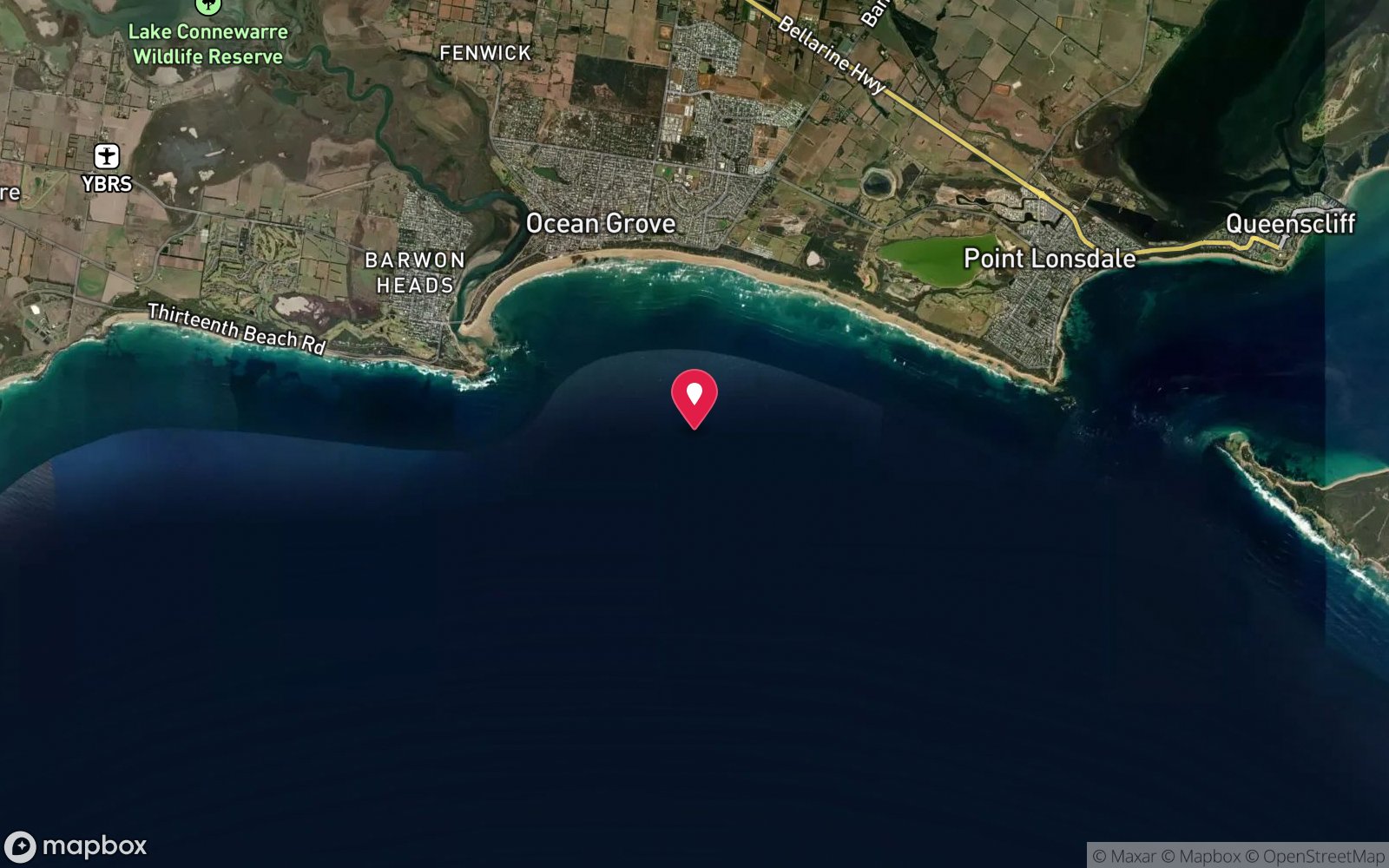
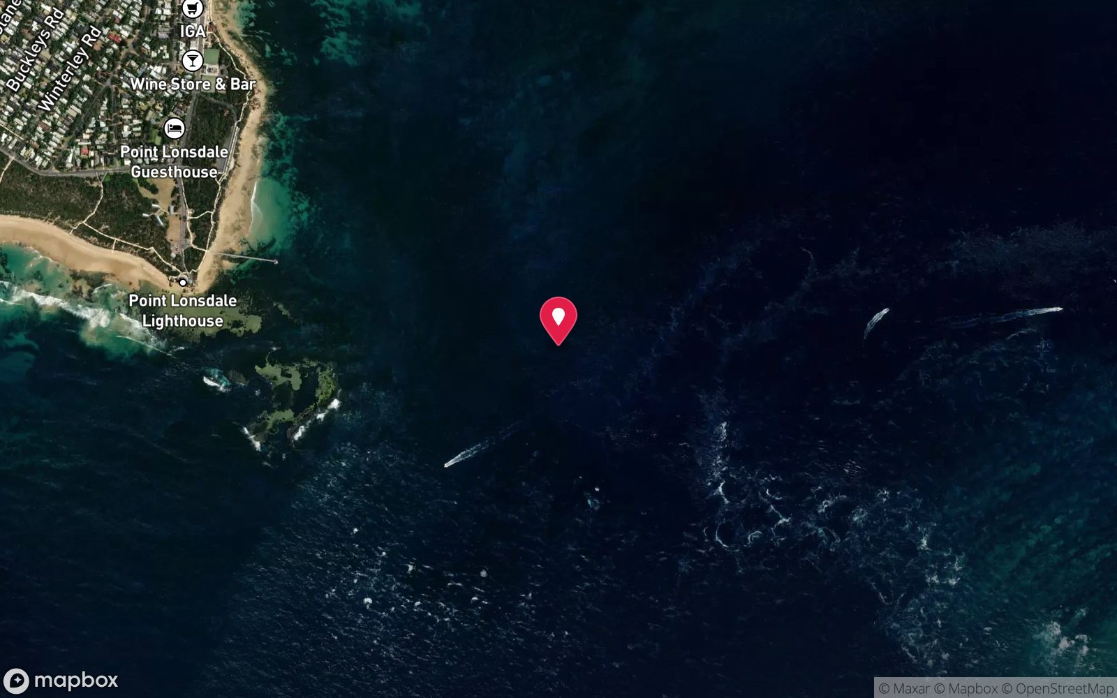
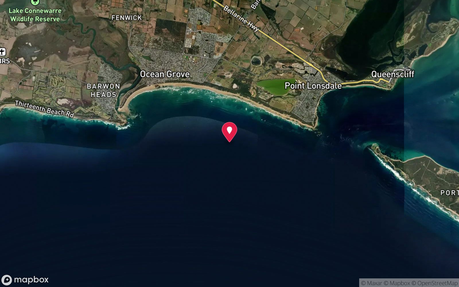
Map
7 pinned sites. Pins marked approximate on their pages show the general area only; not for navigation.
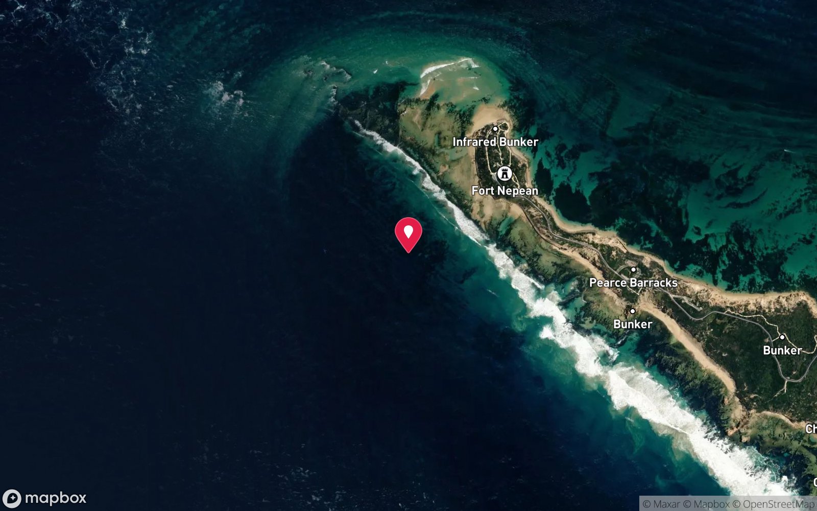
Satellite views
Lady Cheryl: frequently asked questions
How deep is Lady Cheryl?
Lady Cheryl reaches a maximum depth of 14 m, with the shallowest part at about 6 m; most of the dive is spent around 10 m.
What certification do I need to dive Lady Cheryl?
Open Water is the recommended minimum. Rated intermediate because of tidal current that must be timed, boat traffic overhead, wreck penetration options that need training, cold water.
Can I shore dive Lady Cheryl?
No, it is reached by boat (about 10 minutes). A dive centre is required: boat access only.
When is the best time to dive Lady Cheryl?
Year-round on slack water; February–May usually gives the calmest seas and clearest water.
What marine life will I see at Lady Cheryl?
Regularly recorded: Sponges, ascidians, zoanthids, kelp, bullseyes, old wife, southern blue devil, leatherjackets, bluethroat wrasse, magpie perch, southern rock lobster, giant cuttlefish and more.
What wetsuit do I need at Lady Cheryl?
7 mm semi-dry with hood and gloves, or drysuit; drysuit strongly preferred May–November.
How cold is the water at Lady Cheryl?
Typically 17-20 °C in summer and 11-14 °C in winter.
What are the main hazards at Lady Cheryl?
Tidal current near the entrance – slack water only; ferry and pilot-boat traffic – flag; penetration only for trained divers with a line, sharp steel and silt inside; deteriorating structure; cold water. See the hazards section above for the full list.
Where is the nearest recompression chamber to Lady Cheryl?
The Alfred Hospital hyperbaric unit (Melbourne). In an emergency call 000, then DAN Asia-Pacific on 1800 088 200.
Diving in Port Phillip Heads
The entrance to Port Phillip Bay is a 3 km gap through which the whole bay drains and fills twice a day, and the currents have carved walls, canyons and caves in the limestone: Lonsdale Wall, Nepean Wall, the Boulders, the Cave, the Canyons and Popes Eye. Outside the Heads lies the Ships' Graveyard, with more than 40 scuttled vessels including the J1, J2, J4 and J5 submarines, the SS Coogee and the Eliza Ramsden. Every dive here is on slack water and every dive is from a charter.
Getting there: Charters from Queenscliff, Portsea and Sorrento, timed to the slack. Ninety minutes from Melbourne.
All Port Phillip Heads dive sites and a suggested itinerary →
Sources
- scubadoctor.com.au/divesite.htm?site=Lady-Cheryl
- scubadoctor.com.au/dive-resources/melbourne-dive-sites/port-phillip-heads-shipwreck-dives.htm
Data confidence: High. Last updated September 2026. Know this site better? How to send a correction
Nearby dive sites
More wrecks in Victoria
Explore more
This region
Similar dives
Marine life