Dive slate · divesites.com.au · printed 9 Nov 2026
Antares and Steel Barge
Darwin Offshore & Artificial Reefs, Northern Territory · near Darwin
| Depth | 18–28 m |
|---|---|
| Minimum level | Advanced Open Water |
| Difficulty | Intermediate |
| Access | Boat (day trip) |
| Entry | Giant stride or backward roll from the boat; descend the shot or anchor line |
| Current | Variable/Tidal |
| Visibility | 5-15 m |
| Water | summer 30-32 °C, winter 24-26 °C |
| Suit | 3 mm shorty or full lycra/stinger suit; full-length stinger suit essential October-May |
| Best season | May-October dry season on neap tides (smallest tidal range, best visibility, south-east trade winds are strongest mid-morning) |
| Bottom time | 25 min |
| Position | -12.16562, 130.68938 (GPS) |
| Permit | None required. NT recreational fishing rules apply on the reef; heritage rules do not apply to scuttled artificial-reef vessels. |
| Nearest chamber | Royal Darwin Hospital hyperbaric medicine unit (Tiwi, Darwin) |
| Emergency | 000 · DAN Asia-Pacific diving emergency 1800 088 200 |
Antares and Steel Barge
Also known as Antares, Antares/Steel Barge Artificial Reef, Antares and Amelia C
Upright 22 m coastal trader scuttled in 2011 with a steel barge alongside – part of the Antares, Amelia C and Merindah Pearl wreck cluster.
Near Darwin · Darwin Offshore & Artificial Reefs, Northern Territory
- Depth
- 18–28 m
- Minimum level
- Advanced Open Water
- Access
- Boat (day trip)
- Boat ride
- —
- Water
- 30-32 °C
- Visibility
- 5-15 m
Antares and Steel Barge18–28 m · Advanced Open Water
Dive factsDepths, conditions, location & safety
Season
Off-peak nowBest months: May, June, July, August, September, October.
May-October dry season on neap tides (smallest tidal range, best visibility, south-east trade winds are strongest mid-morning)
- Best months
- Now (November)
- Stinger suit Nov–May
Dive facts
- Depth
- 18–28 m
- Typical depth
- 24 m
- Certification
- Advanced Open Water
- Difficulty
- Intermediate
- Depth tier
- Advanced Open Water (18–30 m)
- Access
- Boat (day trip)
- Offshore
- 31 km
- Dive centre needed
- Yes – boat access only
- Shore / independent
- No
- Current
- Variable/Tidal
- Visibility
- 5-15 m
- Water temp (summer)
- 30-32 °C
- Water temp (winter)
- 24-26 °C
- Water
- Tropical
- Bottom time
- 25 min
- Dive traffic
- Moderate (occasional charters/club dives)
- Night dive
- No
- Snorkel friendly
- No
Exposure suit
3 mm shorty or full lycra/stinger suit; full-length stinger suit essential October-May
Location
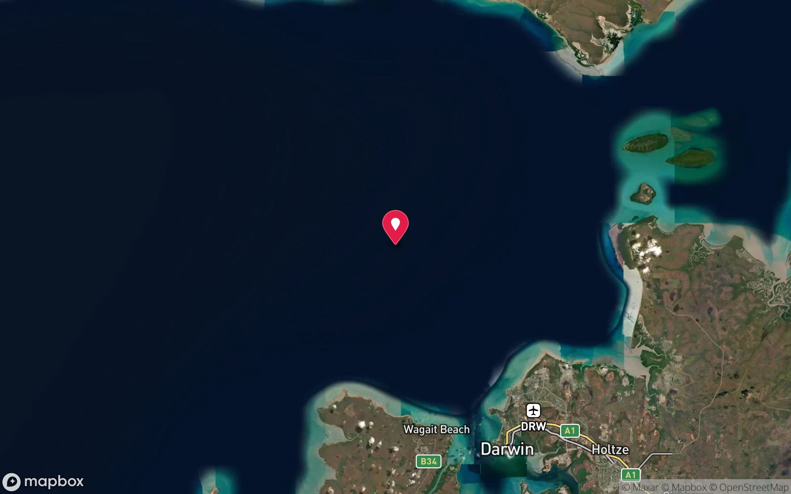
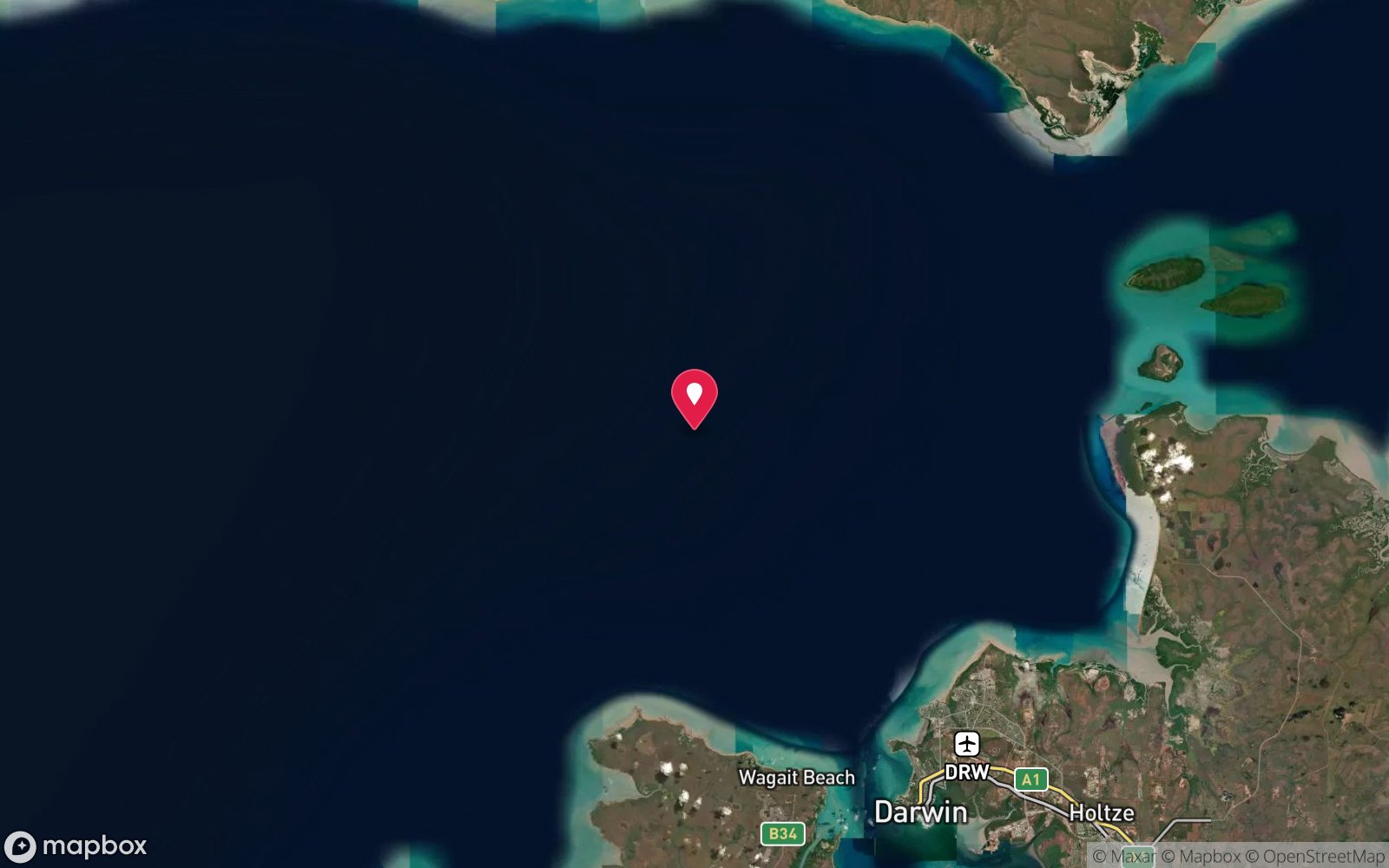
Fenton Patches artificial reef field · Darwin offshore – Fenton Patches
-12.16562, 130.68938
Published GPS position.
Open in Google MapsDive site map (external) →Primary source: dsac.com.auMarine park & permits
None required. NT recreational fishing rules apply on the reef; heritage rules do not apply to scuttled artificial-reef vessels.
Nearest recompression chamber
Royal Darwin Hospital hyperbaric medicine unit (Tiwi, Darwin)
Diving emergency: call 000, then DAN AP 1800 088 200.
Trip planner
Build a trip around Antares and Steel Barge →
A day-by-day plan for Darwin Offshore & Artificial Reefs with this site locked in.
This guide is a planning aid. Conditions change daily — confirm with a local dive centre and dive within your training. Data & safety notes.
Dive profile
How this site rates
Scores are computed from the recorded data, not opinions. How?
At a glance
Antares and Steel Barge is a wreck boat dive in Darwin Offshore & Artificial Reefs, NT, 18–28 m, suited to Advanced Open Water divers, variable/tidal current.
Rated intermediate because of depth beyond 18 m, tidal current that must be timed.
Why dive here
- Upright 22 m coastal trader scuttled in 2011 with a steel barge alongside – part of the Antares, Amelia C and Merindah Pearl wreck cluster.
- Sunk in 2011.
Conditions to avoid
- Outgoing tide or run-off after rain (poor visibility)
- Any time other than slack water
- Cyclone season (roughly December–April)
- Stinger season without a full suit (November–May)
About Antares and Steel Barge
The Antares was an old coastal trader and fishing vessel of about 22 m that was scuttled at Fenton Patches in 2011, together with a 10 m x 10 m steel barge placed close by. She was one of the first vessels added to the Fenton field after a long gap following the original Marchart 3 and Bus Stop deployments, and she has since become part of a small cluster of wrecks that includes the Amelia C and the Merindah Pearl, both prepared by Darwin Sub Aqua Club volunteers and sunk in 2013.
The Antares sits upright on sand in 25–28 m. She is a compact, beamy workboat with a raised bow, an open working deck and a deckhouse aft, and the hull has taken on a coat of sponges, soft corals, hydroids and oysters typical of Beagle Gulf. Hatches and doorways are open and can be looked into by torchlight, but the interior is small and silty. The DSAC description records the Amelia C's port bow resting against the Antares' starboard bow, which makes the two hulls one continuous structure on the sounder – the NT Government reef list, however, gives the Amelia C a separate position shared with the Merindah Pearl, so treat the exact layout as something to confirm on your first dive.
The steel barge is a flat, box-like structure that has become a fish-aggregating block in its own right: schools of fusiliers, trevally and baitfish hang over it and snapper shelter along its edges. Between the barge and the hull there is little more than sand and scattered debris.
The attraction of the site is concentration of fish rather than wreck architecture: golden snapper, saddletail snapper, cod and big black jewfish use the hulls, and pelagic mackerel and trevally sweep through on the tide. It is an advanced-level dive because of depth, open-water descent and the short slack window, and it is best combined with a second dive on the Merindah Pearl or Amanda Lee. For Darwin divers it is one of the more rewarding Fenton sites on a clear neap-tide day.
Wreck details
Steel coastal trader/fishing vessel, c. 20–22 m, plus 10 m x 10 m steel barge · Sunk 2011
Era: modern, mostly scuttled as artificial reefs. Oldest wrecks · Wartime wrecks · Scuttled warships
Other wrecks of the same era
- Amanda Lee · Max 28 m · Darwin Offshore & Artificial Reefs
- Amelia C · Max 28 m · Darwin Offshore & Artificial Reefs
- Merindah Pearl · Max 28 m · Darwin Offshore & Artificial Reefs
- Van Bruggen · Max 14 m · Darwin Harbour
- Kay Lee · Max 14 m · Darwin Harbour
- ex-HMAS Adelaide · Max 32 m · Central Coast
Getting there & entry
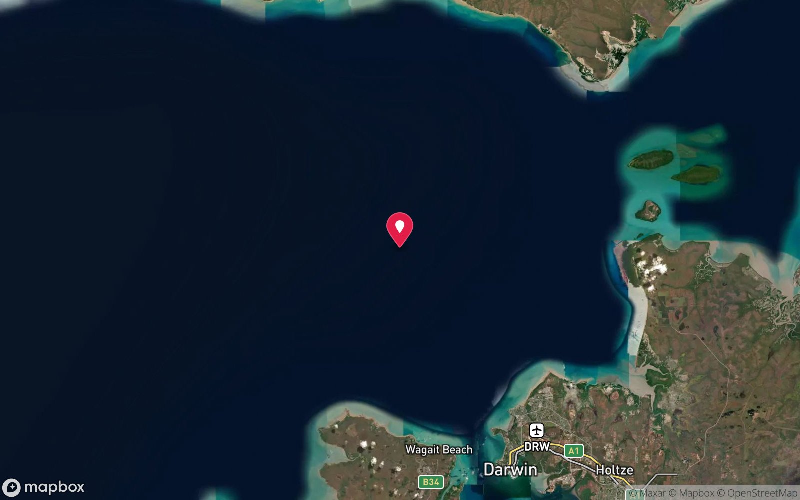
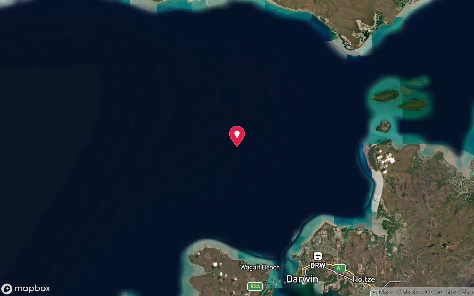
Scuttled coastal trader and a 10 m x 10 m steel barge on the eastern side of the Fenton Patches reef field (12°09.937'S 130°41.363'E).
Fenton Patches lies about 17 nautical miles (roughly 31 km) north-west of Darwin in open water beyond the harbour mouth, so it is a boat-only site. Club and charter boats usually launch from the Cullen Bay ramp and marina (Marina Boulevard, Larrakeyah – ample trailer parking) or from Dinah Beach / Sadgroves Creek ramps inside the harbour, then run out past East Point and across Beagle Gulf. In a fast 6–7 m trailer boat allow roughly an hour each way in trade-wind chop; slower in a southeasterly above 15 knots.
There are no public moorings: the site is found on GPS and sounder, and a shot line or grapnel is dropped on the structure. Private boats need a competent skipper who can work the tide and keep a boat cover on the surface while divers are down.
Entry: Giant stride or backward roll from the boat; descend the shot or anchor line
Facilities: Departure facilities at Cullen Bay Marina (fuel, ramp, toilets, cafes) and Dinah Beach; air fills in Darwin only.
Weather, swell & tides
Fenton Patches is open water in Beagle Gulf with no shelter. Dive it only on neap tides and time the dive for slack water (typically a window of 30–60 minutes around the turn; Darwin's tidal range reaches 7–8 m on springs and currents at Fenton run hard outside slack). The dry season (May–October) brings the south-east trades: mornings are usually calm, but a 15–20 knot south-easterly by late morning makes the run back uncomfortable, so plan an early start.
The build-up (October–December) brings glassy days but storms in the afternoon; the wet season (December–April) brings north-westerly monsoon winds, heavy run-off that cuts visibility, cyclone risk (November–April) and box jellyfish in the water. Visibility is best after several days of neaps and no rain.
Best season: May-October dry season on neap tides (smallest tidal range, best visibility, south-east trade winds are strongest mid-morning)
How the dive is usually run
Shot the Antares hull, descend and orient on the upright wreck. Circuit the hull at 22–25 m starting upstream so any residual current carries you back, look into the open hatches from outside, and check under the bow and stern for jewfish and cod. If visibility allows, make a short compass swim to the steel barge nearby and back – run a reel if visibility is under 5 m.
Finish on the wreck superstructure at 18–20 m and ascend the shot for the safety stop.
Marine life
- Golden snapper
- saddletail snapper
- black jewfish
- estuary cod
- trevally
- Spanish mackerel
- fusiliers
- batfish
- baitfish schools
- sponges
- soft corals
Linked species have their own page listing every site where they are recorded. All marine life →
Training required
Beyond 18 m an Advanced certification (which includes a deep dive to 30 m) is the accepted minimum. Anything past 25 m is a deep dive in practice.
At more than 25 m this counts as a deep dive: watch no-decompression limits and gas.
Courses that help here
- Enriched Air Nitrox – Longer no-decompression time at 25 m and deeper.
- Underwater Navigation – Navigation is part of the dive plan.
- Peak Performance Buoyancy – Silt and low visibility punish poor trim.
Depth tiers: 0–10 m easy · to 18 m Open Water · 18–30 m Advanced (25 m+ is a deep dive) · 30–40 m Deep specialty · 40 m+ technical. All courses
Hazards & warnings
Strong tidal currents outside slack water – dive neap tides only and carry an SMB and reel; boat must stay live on the surface. Depth 25–28 m with short no-deco limits. Silt inside hulls and holds destroys visibility instantly.
Fishing line, lures and snagged anchors on all structures – carry a cutting tool. Box jellyfish and Irukandji October–May (full stinger suit). Saltwater crocodiles occur offshore in the Top End – do not linger on the surface.
Large groper and bull or tiger sharks may investigate divers. Remote from help: ~1 hour by boat to Darwin.
Dive centres that go here
No daily operator. Darwin Sub Aqua Club (DSAC) runs member boat dives to Fenton Patches on suitable neap-tide weekends in the dry season; Dive Darwin (learntodivedarwin.com.au) and Western Blue Dive Charters offer outer-harbour/offshore wreck trips on demand when tides and weather line up. Otherwise private boat only.
Operators recorded for Antares and Steel Barge
Dive Darwin
ProfiledDarwin · Darwin Harbour · NT
The main verified dive operation in the Northern Territory, offering recreational training through professional level alongside technical diving and a large specialty range.
divedarwin.com.au · +61 401 751 651
Darwin Sub Aqua Club
Named by sitesDarwin · Darwin Harbour · NT
Club, not a shop: official site updated August 2026 with the 2026 AGM notice; meets Thursdays at Darwin Ski Club, Fannie Bay.
dsac.com.au
Western Blue Dive Charters
Named by sitesDarwin · Darwin Offshore & Artificial Reefs · NT
The only operator found under this name is Western Blue Dive Charters at Mindarie Marina, Perth (westernbluedive.com.au); no Darwin operator by this name could be confirmed, so the Darwin attribution is doubtful.
Other dive centres in Darwin Offshore & Artificial Reefs
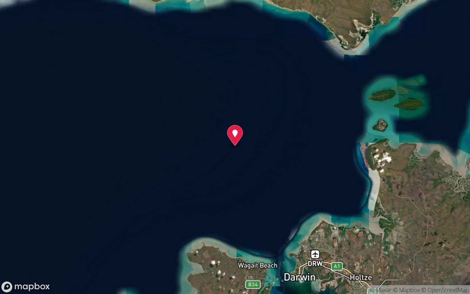
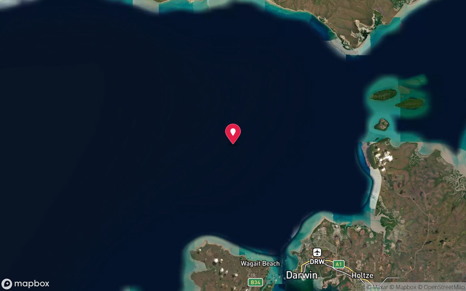
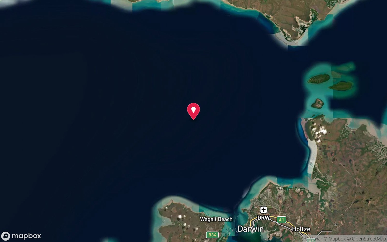
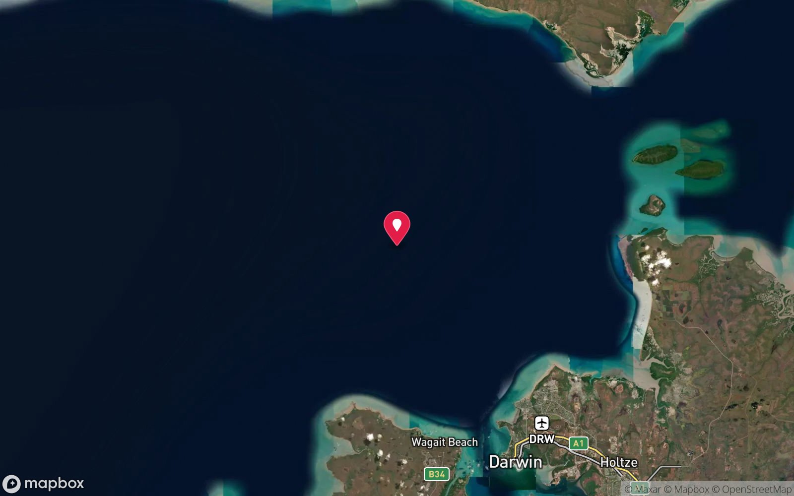
Map
7 pinned sites. Pins marked approximate on their pages show the general area only; not for navigation.
Satellite views
Antares and Steel Barge: frequently asked questions
How deep is Antares and Steel Barge?
Antares and Steel Barge reaches a maximum depth of 28 m, with the shallowest part at about 18 m; most of the dive is spent around 24 m.
What certification do I need to dive Antares and Steel Barge?
Advanced Open Water is the recommended minimum. At more than 25 m this counts as a deep dive: watch no-decompression limits and gas. Rated intermediate because of depth beyond 18 m, tidal current that must be timed.
Can I shore dive Antares and Steel Barge?
No, it is reached by boat. A dive centre is required: boat access only.
When is the best time to dive Antares and Steel Barge?
May-October dry season on neap tides (smallest tidal range, best visibility, south-east trade winds are strongest mid-morning).
What marine life will I see at Antares and Steel Barge?
Regularly recorded: Golden snapper, saddletail snapper, black jewfish, estuary cod, trevally, Spanish mackerel, fusiliers, batfish, baitfish schools, sponges, soft corals.
What wetsuit do I need at Antares and Steel Barge?
3 mm shorty or full lycra/stinger suit; full-length stinger suit essential October-May.
How cold is the water at Antares and Steel Barge?
Typically 30-32 °C in summer and 24-26 °C in winter.
What are the main hazards at Antares and Steel Barge?
Strong tidal currents outside slack water – dive neap tides only and carry an SMB and reel; boat must stay live on the surface. See the hazards section above for the full list.
Where is the nearest recompression chamber to Antares and Steel Barge?
Royal Darwin Hospital hyperbaric medicine unit (Tiwi, Darwin). In an emergency call 000, then DAN Asia-Pacific on 1800 088 200.
Diving in Darwin Offshore & Artificial Reefs
Outside the harbour the water clears a little and a collection of post-war wrecks, artificial reefs and natural patches (the Fenton Patches, Charles Point reef and the scuttled Song Saigon and Anchorage wrecks) give Darwin divers deeper and cleaner alternatives to the harbour war graves.
Getting there: Charters from Darwin on neap tides.
All Darwin Offshore & Artificial Reefs dive sites and a suggested itinerary →
Sources
- dsac.com.au/Divesite_files/Antares_Amelia%20C.htm
- nt.gov.au/marine/recreational-fishing/when-and-where-to-fish/artificial-reefs
- marinelife.org.au/?page_id=58
Data confidence: High · Being verified: DSAC says Amelia C's bow rests on the Antares; NT Government lists Amelia C at a separate position with Merindah Pearl (~230 m away). Length given as 20 m (NT Gov) and 22 m (DSAC).. Last updated September 2026. Know this site better? How to send a correction
Nearby dive sites
More wrecks in Northern Territory
Explore more
This region
Similar dives