Dive slate · divesites.com.au · printed 9 Nov 2026
Point Gellibrand
Melbourne & Port Phillip Bay, Victoria · near Williamstown (Melbourne)
| Depth | 2–5 m |
|---|---|
| Minimum level | Open Water |
| Difficulty | Beginner |
| Access | Shore |
| Entry | Walk in over the basalt rock pools at Battery Road |
| Current | None |
| Visibility | 2-6 m |
| Water | summer 18-21 °C, winter 10-13 °C |
| Suit | 7 mm wetsuit or semi-dry with hood and gloves in summer; drysuit or 7 mm semi-dry with hood in winter |
| Best season | Year-round; autumn (March-May) usually gives the calmest water and best visibility |
| Bottom time | 45 min |
| Position | -37.87138, 144.90514 (GPS) |
| Permit | None required |
| Nearest chamber | The Alfred Hospital Hyperbaric Service (Melbourne) |
| Emergency | 000 · DAN Asia-Pacific diving emergency 1800 088 200 |
Point Gellibrand
Also known as Bunbury Rockpools, Battery Road rock pools, Williamstown rock pools
Basalt lava ledges at the tip of Williamstown with excellent nudibranch macro; free parking and a heritage-park setting.
Near Williamstown (Melbourne) · Melbourne & Port Phillip Bay, Victoria
- Depth
- 2–5 m
- Minimum level
- Open Water
- Access
- Shore
- Boat ride
- Shore entry
- Water
- 18-21 °C
- Visibility
- 2-6 m
Point Gellibrand2–5 m · Open Water · Shore
Dive factsDepths, conditions, location & safety
Season
Off-peak nowBest months: March, April, May.
Year-round; autumn (March-May) usually gives the calmest water and best visibility
- Best months
- Now (November)
Dive facts
- Depth
- 2–5 m
- Typical depth
- 4 m
- Certification
- Open Water
- Difficulty
- Beginner
- Depth tier
- Easy (0–10 m)
- Access
- Shore
- Offshore
- 0 km
- Dive centre needed
- No – independently diveable
- Shore / independent
- Yes
- Current
- None
- Visibility
- 2-6 m
- Water temp (summer)
- 18-21 °C
- Water temp (winter)
- 10-13 °C
- Water
- Temperate
- Bottom time
- 45 min
- Dive traffic
- Moderate (occasional charters/club dives)
- Night dive
- Yes
- Snorkel friendly
- Yes
Exposure suit
7 mm wetsuit or semi-dry with hood and gloves in summer; drysuit or 7 mm semi-dry with hood in winter
Location
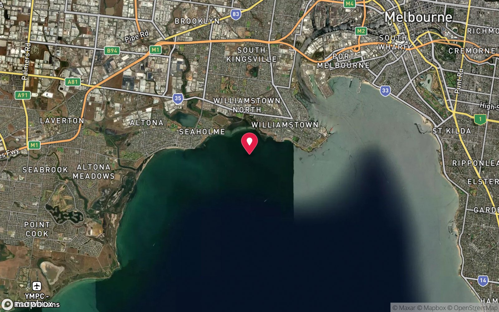
Williamstown · Melbourne West – Port Phillip
-37.87138, 144.90514
Published GPS position.
Open in Google MapsPrimary source: scubadoctor.com.auMarine park & permits
None required
Nearest recompression chamber
The Alfred Hospital Hyperbaric Service (Melbourne)
Diving emergency: call 000, then DAN AP 1800 088 200.
Trip planner
Build a trip around Point Gellibrand →
A day-by-day plan for Melbourne & Port Phillip Bay with this site locked in.
This guide is a planning aid. Conditions change daily — confirm with a local dive centre and dive within your training. Data & safety notes.
Dive profile
How this site rates
Scores are computed from the recorded data, not opinions. How?
At a glance
Point Gellibrand is a shore / rock platform shore dive you can do independently in Melbourne & Port Phillip Bay, VIC, 2–5 m, suited to Open Water divers.
Rated beginner: sheltered, shallow and manageable for a newly certified diver on a normal day, though note surge on the entry or in the shallows and boat traffic overhead and cold water.
Why dive here
- Basalt lava ledges at the tip of Williamstown with excellent nudibranch macro; free parking and a heritage-park setting.
- Commonly dived at night, when octopus, cuttlefish and crustaceans are out.
- Snorkel-friendly, so non-diving companions can join at the surface.
Conditions to avoid
- Strong southerly or south-east swell and wind
- Strong westerlies
- Strong northerlies
- Outgoing tide or run-off after rain (poor visibility)
About Point Gellibrand
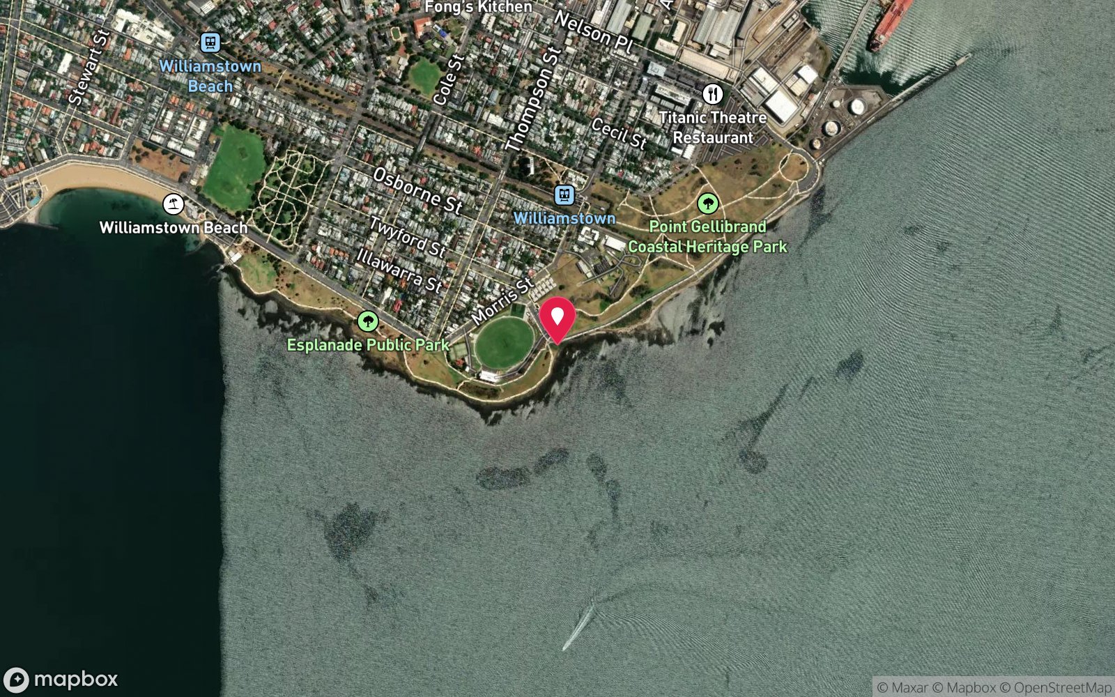
Point Gellibrand is the southern tip of the Williamstown peninsula, the site of the Timeball Tower, the old naval battery and the Coastal Heritage Park, and along its Port Phillip face the shore is a continuous run of basalt ledges and rock pools formed by the Newer Volcanics lava that flowed down to the bay from the west. The rock pools at Battery Road, also called the Bunbury Rockpools, are the entry. The first metres are shallow, uneven basalt full of pools and gullies, and the ground then deepens gradually into a broad reef of ledges, boulders and undercuts in 3-5 m before running out onto sand.
It is not a big or deep site, but it is unusually rich for somewhere ten minutes from the West Gate Bridge. The basalt is coated with encrusting sponges, tubeworms, mussels and algae, and the ledges shelter a surprising number of fish for an inner-bay reef: leatherjackets, wrasse, zebrafish, dusky morwong, blennies, cardinalfish and juvenile snapper, with rays and flathead on the sand. Its reputation among photographers rests on nudibranchs; large, colourful sea slugs are found in numbers on the undersides of the ledges and it is regarded as one of the most rewarding macro sites close to the city.
Octopus, decorator crabs, cushion stars and urchins round it out. The entry over slippery basalt at high tide is the only real difficulty, and shipping wash from the channel can surge across the platform, so the site is best on a calm day with a north-westerly. The wreck of the Albert William lies 450 m to the east for those interested.
With free parking, a playground and the heritage park behind it, it is a pleasant, low-key western-suburbs dive.
Getting there & entry
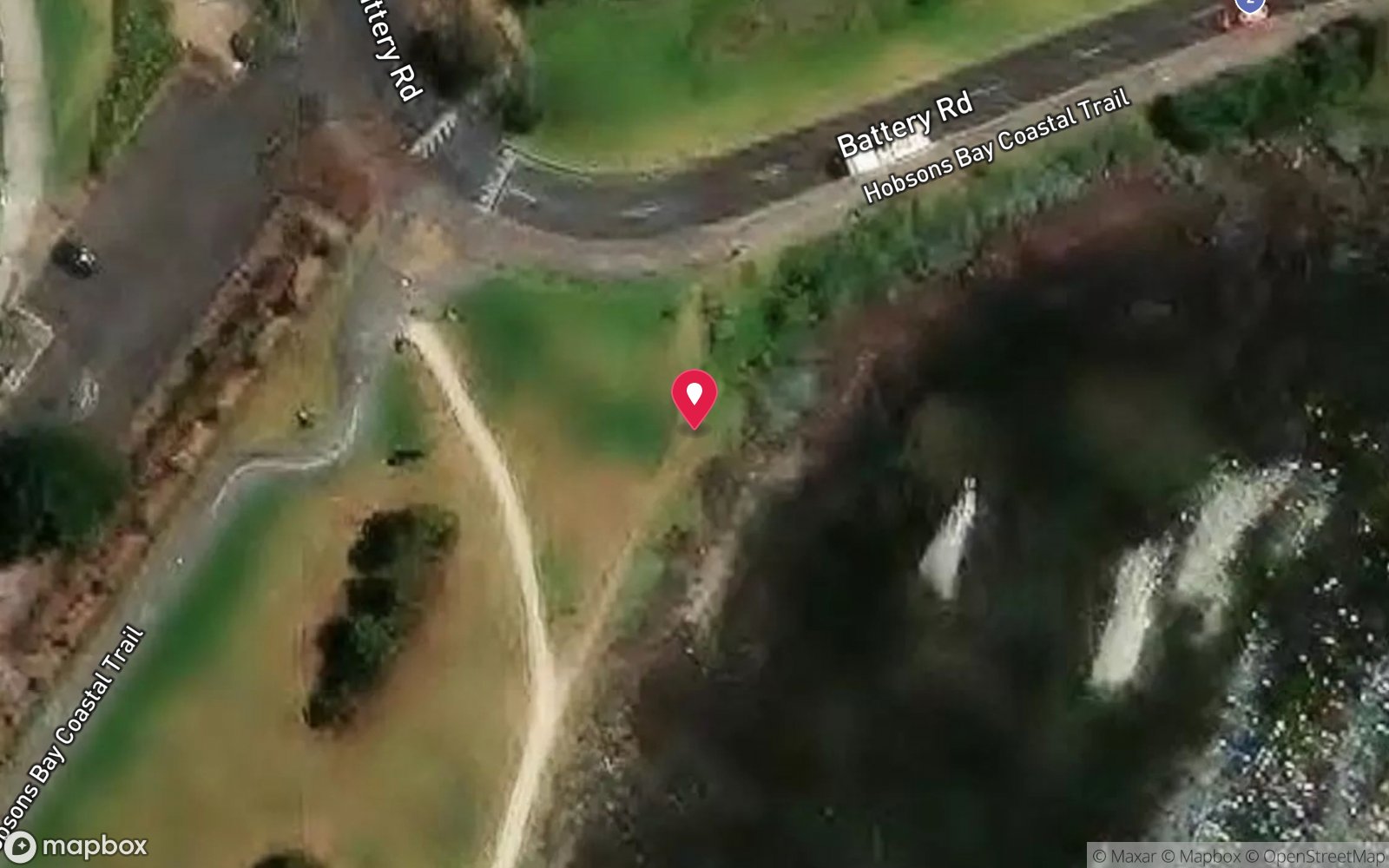
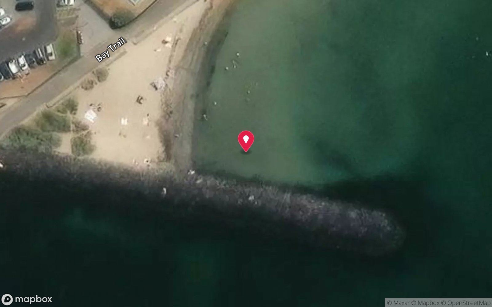
Basalt rock ledges and rock pools off Battery Road at Point Gellibrand, the south-eastern tip of Williamstown, where the Port Phillip shoreline is a continuous series of lava ledges and outcrops.
From Nelson Place, Williamstown, follow Battery Road south around the point past the Timeball Tower to Point Gellibrand Coastal Heritage Park. Free parking is available at either end of Battery Road; the playground car park is closest to the rock pools, a carry of about 50 m. Walk out over the basalt platform and enter at a gap in the rock pools at high tide; the rock is slippery and uneven.
The reef begins shallow and rocky and gradually deepens seaward. Exit back across the platform at the same spot, taking care with waves and footing.
Entry: Walk in over the basalt rock pools at Battery Road
Facilities: Free parking at either end of Battery Road; playground; public toilets in the heritage park; cafes on Nelson Place; nearest air fills Dive Victoria Group
Weather, swell & tides
Best with light to moderate offshore northerly to easterly winds, or light onshore south-easterly to north-westerly winds; strong southerlies and south-westerlies put chop onto the Williamstown shore and stir the silt. Dive at high tide, which is also when the intertidal reef is accessible to snorkellers. Avoid the site for two or three days after heavy rain, when Yarra and stormwater runoff cut visibility to a metre.
Visibility 2-6 m in good conditions, best in winter. No swell; the water is flat when the wind is still. The point is a little more exposed to easterlies than the beach sites to the west, so a north-westerly is ideal.
Shipping wash from the channel to the east can surge across the shallow platform.
Best season: Year-round; autumn (March-May) usually gives the calmest water and best visibility
If it's blown out
Sheltered or shore sites within 25 km that often work when Point Gellibrand doesn't.
- McGregor Rock, Quiet Corner · 16 km · Max 5 m
- Banksia Point, Ricketts Point · 17 km · Max 3 m
- Tea House Reef, Ricketts Point · 17 km · Max 5 m
- Ricketts Point Marine Sanctuary · 17 km · Max 8 m
How the dive is usually run
Enter through the rock pools at high tide, fin out over the shallow basalt to 2-3 m, follow the ledges seaward and along the point at 3-5 m spending time on the nudibranch-rich undercuts, turn at half gas, and return on a reciprocal to the same gap in the platform.
Marine life
- Nudibranchs (large and colourful) →
- leatherjackets
- wrasse
- zebrafish
- dusky morwong
- blennies
- cardinalfish
- juvenile snapper
- rays
- flathead
- octopus →
- decorator crabs
- cushion stars
- sea urchins
Linked species have their own page listing every site where they are recorded. All marine life →
Training required
Shallow enough for snorkellers and for a first dive under supervision. Any certified diver can dive it.
Courses that help here
- Night Diver – Commonly dived at night.
- Drysuit Diver – Cold water; locals dive dry for much of the year.
- Peak Performance Buoyancy – Silt and low visibility punish poor trim.
Depth tiers: 0–10 m easy · to 18 m Open Water · 18–30 m Advanced (25 m+ is a deep dive) · 30–40 m Deep specialty · 40 m+ technical. All courses
Hazards & warnings
Slippery, uneven basalt entry; shallow at low tide; surge from shipping wash; boat traffic; blue-ringed octopus in rock pools; poor visibility after rain; exit at the same gap in the platform
Dive centres that go here
No regular commercial operator – dived independently and by western-suburbs dive clubs and Melbourne shop social dives; no shop is based in Williamstown, so fills come from Dive Victoria Group or Scuba Culture.
Operators recorded for Point Gellibrand
Bay City Scuba
ListedEast Geelong · Melbourne & Port Phillip Bay · VIC
A Victorian business associated with recreational and technical training alongside equipment and gas services.
baycityscuba.com · (03) 5248 1488
Scuba Culture
ListedBurwood · Melbourne & Port Phillip Bay · VIC
A Melbourne business providing training and equipment support for local divers.
scubaculture.com.au · (03) 9808 0033
Scubabo Dive Victoria (Dive Victoria Group)
Named by sitesQueenscliff · Port Phillip Heads · VIC
Rebranded as Scubabo Dive Victoria, Queenscliff; dive.scubabo.com is live for 2026 with active charter bookings.
dive.scubabo.com · (03) 5258 1188
Melbourne Diving Services
Named by sitesPortsea · Melbourne & Port Phillip Bay · VIC
Only a directory listing in Portsea (updated 2024); no website, socials or recent reviews found.
Other dive centres in Melbourne & Port Phillip Bay
The Scuba Doctor
ProfiledRye · Melbourne & Port Phillip Bay · VIC
A Victorian equipment and service business with an extensive retail presence, located to serve both Melbourne and Mornington Peninsula divers.
scubadoctor.com.au · (03) 5985 3322
Diveline Scuba Centre
ListedFrankston · Melbourne & Port Phillip Bay · VIC
A Victorian business associated with technical training and gas support alongside recreational courses.
diveline.com.au · (03) 9783 7166
Aquability
ListedMordialloc · Melbourne & Port Phillip Bay · VIC
A Victorian operation associated with technical diving training. Exact agency, course levels and gas support require verification.
aquability.com.au · (03) 9587 1811
Divein2Scuba (Geelong Dive Centre)
ListedGeelong · Geelong & Bellarine · VIC
A Geelong business providing training, equipment and local diving support.
divein2scuba.com · (03) 5221 3342
Ocean Divers
ListedBentleigh East · Melbourne & Port Phillip Bay · VIC
A Victorian operation associated with recreational and technical training and access to Port Phillip diving.
oceandivers.com.au · (03) 9579 2600
Academy of Scuba
ListedRye · Melbourne & Port Phillip Bay · VIC
A Melbourne training business offering recreational courses with technical pathways.
academyofscuba.com.au · (03) 9889 9952
Map
7 pinned sites. Pins marked approximate on their pages show the general area only; not for navigation.
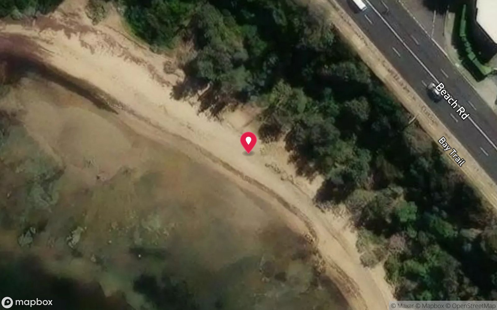
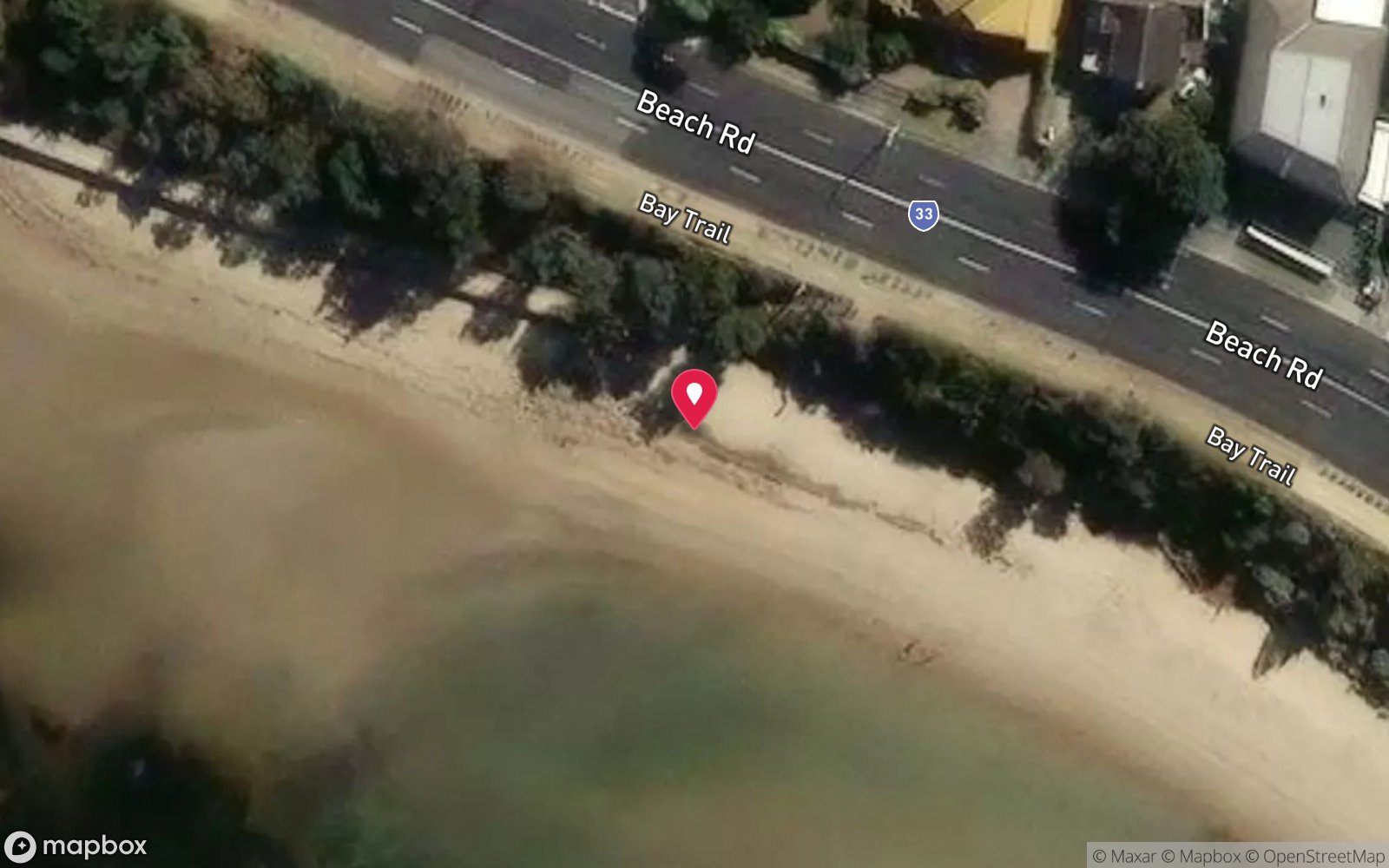
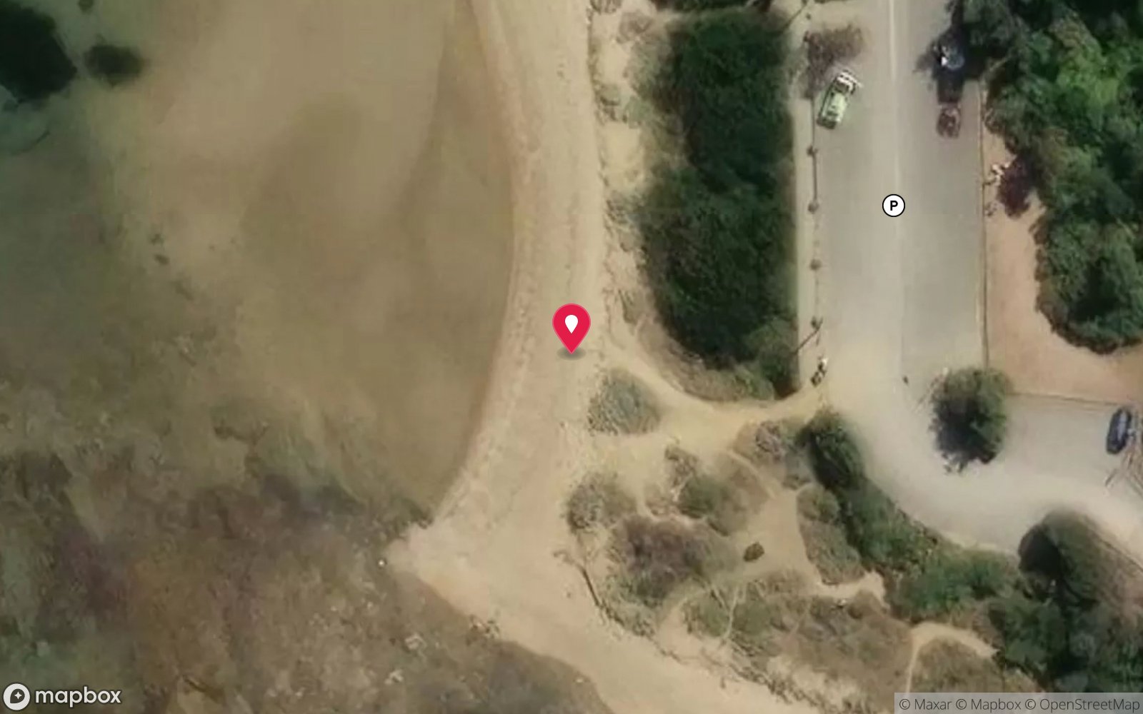
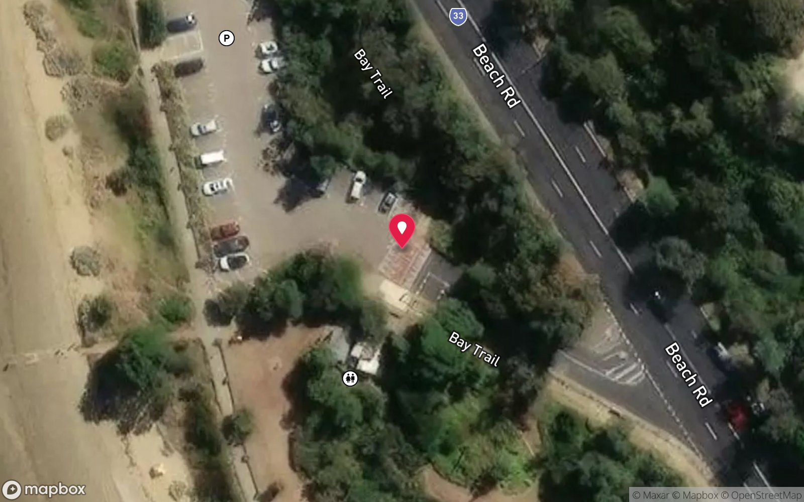
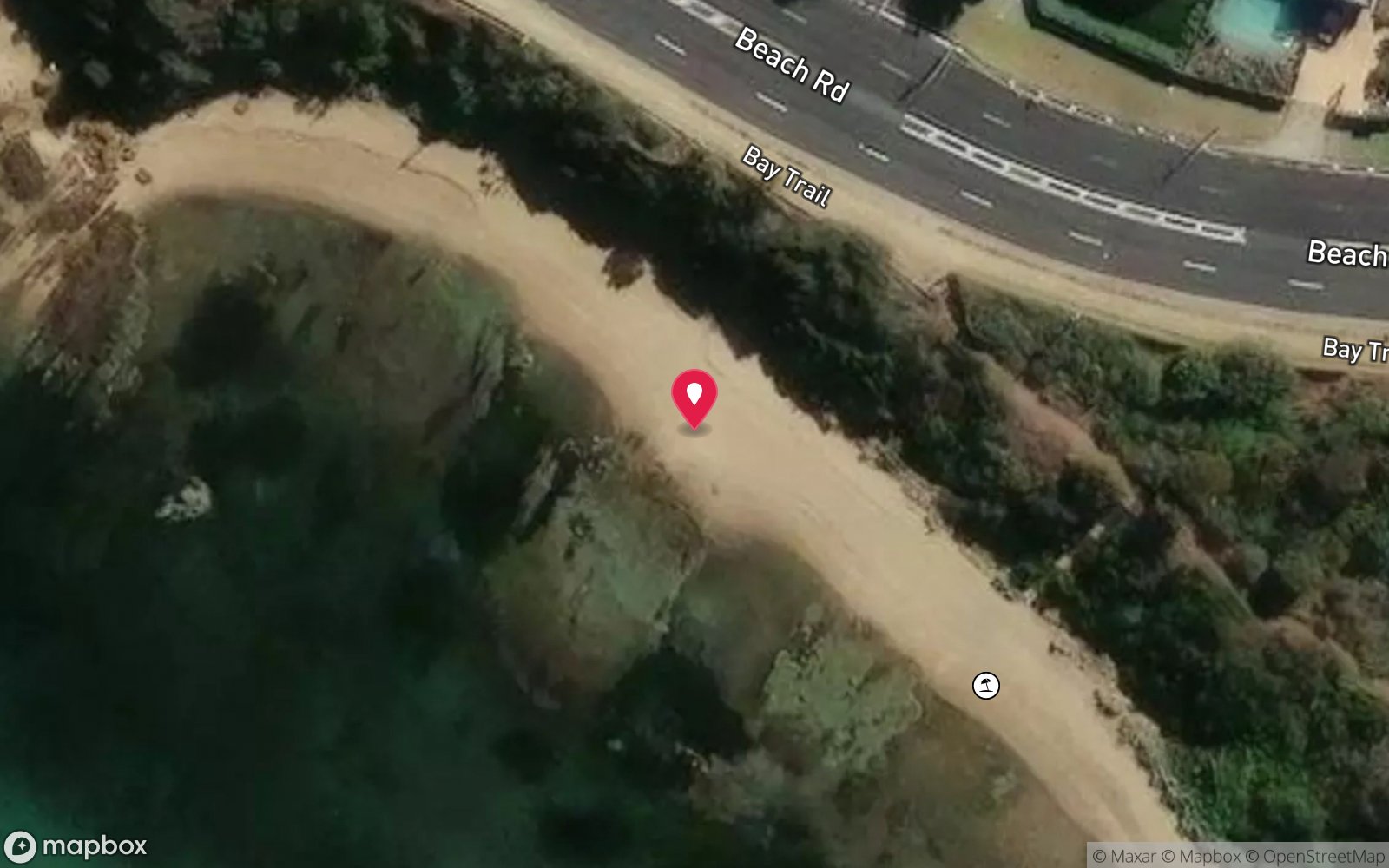
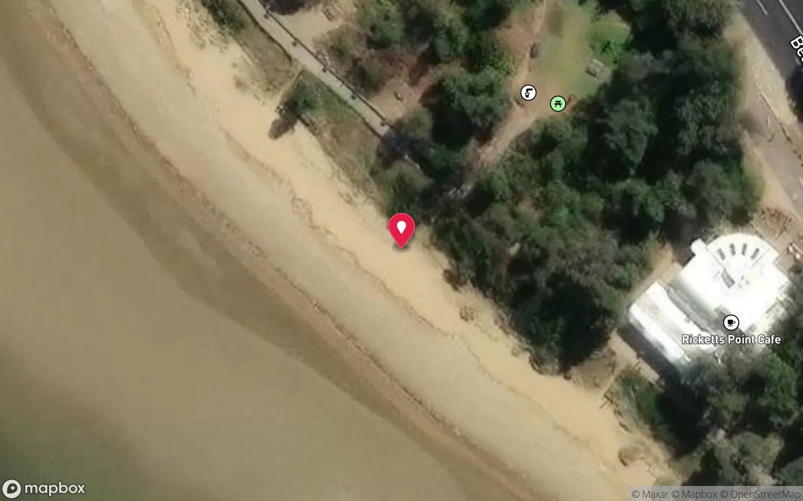
Satellite views
Point Gellibrand: frequently asked questions
How deep is Point Gellibrand?
Point Gellibrand reaches a maximum depth of 5 m, with the shallowest part at about 2 m; most of the dive is spent around 4 m.
What certification do I need to dive Point Gellibrand?
Open Water is the recommended minimum. Rated beginner: sheltered, shallow and manageable for a newly certified diver on a normal day, though note surge on the entry or in the shallows and boat traffic overhead and cold water.
Can I shore dive Point Gellibrand?
Yes. Point Gellibrand is a shore dive that can be done independently: walk in over the basalt rock pools at Battery Road.
When is the best time to dive Point Gellibrand?
Year-round; autumn (March-May) usually gives the calmest water and best visibility.
What marine life will I see at Point Gellibrand?
Regularly recorded: Nudibranchs (large and colourful), leatherjackets, wrasse, zebrafish, dusky morwong, blennies, cardinalfish, juvenile snapper, rays, flathead, octopus, decorator crabs and more.
What wetsuit do I need at Point Gellibrand?
7 mm wetsuit or semi-dry with hood and gloves in summer; drysuit or 7 mm semi-dry with hood in winter.
How cold is the water at Point Gellibrand?
Typically 18-21 °C in summer and 10-13 °C in winter.
What are the main hazards at Point Gellibrand?
Slippery, uneven basalt entry; shallow at low tide; surge from shipping wash; boat traffic; blue-ringed octopus in rock pools; poor visibility after rain; exit at the same gap in the platform. See the hazards section above for the full list.
Can you night dive Point Gellibrand?
Yes, Point Gellibrand is commonly dived at night.
Diving in Melbourne & Port Phillip Bay
Melbourne's bayside suburbs, from Williamstown around to Frankston, have shallow, easy shore dives: Ricketts Point Marine Sanctuary, Black Rock, Half Moon Bay and the Cerberus wreck, Frankston pier, and the artificial reefs and scuttled boats off St Kilda and Mordialloc. Visibility is modest but the life, especially at night, is good.
Getting there: Suburban shore dives with parking; charters from St Kilda and Mordialloc for the bay wrecks.
All Melbourne & Port Phillip Bay dive sites and a suggested itinerary →
Sources
Data confidence: Medium. Last updated September 2026. Know this site better? How to send a correction
Nearby dive sites
More shore dives in Victoria
Explore more
This region
Similar dives