Dive slate · divesites.com.au · printed 9 Nov 2026
Port Sorell Estuary (Penguin Island)
Tasmania North & North-West, Tasmania · near Port Sorell
| Depth | 8–15 m |
|---|---|
| Minimum level | Open Water |
| Difficulty | Intermediate |
| Access | Boat |
| Entry | Back roll or giant stride from a small boat (live-boat drop and pick-up is the local norm) |
| Current | Variable/Tidal |
| Visibility | 5-12 m |
| Water | summer 16-19 °C, winter 11-13 °C |
| Suit | 7 mm wetsuit with hood, gloves and boots (or semi-dry); drysuit common, especially May-October |
| Best season | December-April, on calm days with southerly (offshore) winds |
| Bottom time | 45 min |
| Position | -41.15500, 146.56000 (approximate) |
| Permit | No marine reserve; normal Tasmanian fishing rules apply. No permit needed to dive. |
| Nearest chamber | Royal Hobart Hospital Hyperbaric Medicine Unit (Hobart) - the only chamber in Tasmania; Launceston has none. DAN emergency hotline 1800 088 200 |
| Emergency | 000 · DAN Asia-Pacific diving emergency 1800 088 200 |
Port Sorell Estuary (Penguin Island)
Also known as Penguin Island sponge gardens, Port Sorell
Sponge gardens with seahorses in a tidal estuary east of Devonport.
Near Port Sorell · Tasmania North & North-West, Tasmania
- Depth
- 8–15 m
- Minimum level
- Open Water
- Access
- Boat
- Boat ride
- ~10 min
- Water
- 16-19 °C
- Visibility
- 5-12 m
Port Sorell Estuary (Penguin Island)8–15 m · Open Water
Dive factsDepths, conditions, location & safety
Season
Off-peak nowBest months: January, February, March, April, December.
December-April, on calm days with southerly (offshore) winds
- Best months
- Now (November)
Dive facts
- Depth
- 8–15 m
- Typical depth
- 10 m
- Certification
- Open Water
- Difficulty
- Intermediate
- Depth tier
- Open Water (10–18 m)
- Access
- Boat
- Offshore
- 1 km
- Dive centre needed
- Yes – boat access only
- Shore / independent
- No
- Boat ride
- ~10 min
- Current
- Variable/Tidal
- Visibility
- 5-12 m
- Water temp (summer)
- 16-19 °C
- Water temp (winter)
- 11-13 °C
- Water
- Cold Temperate
- Bottom time
- 45 min
- Dive traffic
- Moderate (occasional charters/club dives)
- Night dive
- No
- Snorkel friendly
- No
Exposure suit
7 mm wetsuit with hood, gloves and boots (or semi-dry); drysuit common, especially May-October
Location
Port Sorell · Tasmania North-West Coast
-41.15500, 146.56000
Approximate position — not for navigation.
Open in Google MapsPrimary source: levenscubaclub.com.auMarine park & permits
No marine reserve; normal Tasmanian fishing rules apply. No permit needed to dive.
Nearest recompression chamber
Royal Hobart Hospital Hyperbaric Medicine Unit (Hobart) - the only chamber in Tasmania; Launceston has none. DAN emergency hotline 1800 088 200
Diving emergency: call 000, then DAN AP 1800 088 200.
Trip planner
Build a trip around Port Sorell Estuary (Penguin Island) →
A day-by-day plan for Tasmania North & North-West with this site locked in.
This guide is a planning aid. Conditions change daily — confirm with a local dive centre and dive within your training. Data & safety notes.
Dive profile
How this site rates
Scores are computed from the recorded data, not opinions. How?
At a glance
Port Sorell Estuary (Penguin Island) is a drift boat dive in Tasmania North & North-West, TAS, 8–15 m, suited to Open Water divers, variable/tidal current, about 10 minutes by boat.
Rated intermediate because of tidal current that must be timed, boat traffic overhead, cold water.
Why dive here
- Sponge gardens with seahorses in a tidal estuary east of Devonport.
Conditions to avoid
- Strong southerly or south-east swell and wind
- Afternoon north-easterlies
- Strong westerlies
- Any time other than slack water
About Port Sorell Estuary (Penguin Island)
The Leven Scuba Club lists several boat dives in the Port Sorell estuary, including an excellent site at Penguin Island with sponge gardens, nudibranchs and seahorses in 8-15 m. It notes that estuary dives are restricted to high tide. The estuary's tidal flow feeds sponges and other filter feeders, and its seagrass and sponge habitats suit seahorses. Details beyond the club's summary are not published, and the estuary is also popular with boaters and anglers, so fly a dive flag. Local knowledge from Leven Scuba Club members is the best way to get the most out of it, and first-time visitors should ideally dive it with someone who knows the site and the tide.
The central north coast between Wynyard and Port Sorell is the home water of the Leven Scuba Club at Ulverstone, whose site list is the main modern source for it, supplemented by the older Marine Life Network guide. The towns of Burnie, Ulverstone and Devonport sit right on the coast, so many sites are within minutes of a ramp or car park, but the reefs are generally low and weedy, visibility is often 5-10 m, and the coast is open to Bass Strait's northerly and westerly weather.
Devonport is the Spirit of Tasmania ferry terminal, which makes these sites the first and last dives for many interstate visitors bringing their own gear. There is no hyperbaric chamber in the north - the nearest is the Royal Hobart Hospital, about 3.5 hours' drive - so dive conservatively, especially on the deeper offshore sites.
Getting there & entry
Estuary dives in Port Sorell east of Devonport, including an excellent site at Penguin Island with sponge gardens, nudibranchs and seahorses in 8-15 m.
Port Sorell is 20 minutes east of Devonport. Launch at Port Sorell or Hawley Beach and run into the estuary to Penguin Island. Estuary dives are restricted to high tide.
From the Spirit of Tasmania terminal at Devonport, all central north-coast sites are within about an hour's drive along the Bass Highway. North-coast ramps are often shallow and weedy at low tide, so time launches for mid to high tide and carry a sounder, radio and tide tables.
Entry: Back roll or giant stride from a small boat (live-boat drop and pick-up is the local norm)
Facilities: Port Sorell and Hawley Beach: ramps, shops, cafes.
Weather, swell & tides
The north-west coast faces Bass Strait: north-westerly to north-easterly winds and westerly swell make it rough, while southerly winds blow offshore and give flat seas - light airs and sunny days are relatively common from January to April. Easterly gales are common in the warmer months and close the eastern faces of Rocky Cape and Sisters Island. Tidal streams run along the coast (eastward on the flood), and several boat sites are only comfortable around slack water.
Sheltered from swell but strongly tidal - dive at the top of the tide only.
Best season: December-April, on calm days with southerly (offshore) winds
If it's blown out
Sheltered or shore sites within 25 km that often work when Port Sorell Estuary (Penguin Island) doesn't.
- Devonport Breakwater · 16 km · Max 4 m
- Mersey Bluff (Devonport) · 17 km · Max 9 m
- Don Heads · 20 km · Max 9 m
- Low Head Shore · 22 km · Max 6 m
How the dive is usually run
Drop at Penguin Island at high tide, explore the sponge gardens at 8-15 m looking for seahorses and nudibranchs, and ascend before the ebb begins. Turn the dive at half gas (thirds where current or overhead sections are involved), deploy an SMB before surfacing for the live-boat pick-up, and complete a 3-minute safety stop at about 5 m where depth allows.
Marine life
- Sponge gardens
- nudibranchs →
- seahorses →
- estuary fish
Linked species have their own page listing every site where they are recorded. All marine life →
Training required
Within the 18 m limit of an entry-level certification.
Courses that help here
- Drift Diver – Current is a feature of the dive.
- Drysuit Diver – Cold water; locals dive dry for much of the year.
Depth tiers: 0–10 m easy · to 18 m Open Water · 18–30 m Advanced (25 m+ is a deep dive) · 30–40 m Deep specialty · 40 m+ technical. All courses
Hazards & warnings
Strong tides outside high-water slack; boat traffic; shallow sandbanks.
Dive centres that go here
No confirmed commercial dive operator on the north-west coast as of 2026 (older guides mention dive services in Wynyard and Devonport - verify). Sites are dived mainly by the Leven Scuba Club (Ulverstone), other north-west club members and visiting divers with their own boats; Tasmanian Divers (Launceston) runs occasional northern trips.
Operators recorded for Port Sorell Estuary (Penguin Island)
Tasmanian Divers North
ListedLaunceston · Tasmania North & North-West · TAS
A northern Tasmanian operation serving the Bass Strait coastline and local diving community.
tasdivers.com.au · (03) 6229 1020
Leven Scuba Club
Named by sitesDevonport · Tasmania North & North-West · TAS
Club, not a shop: website live and the club is listed for the Tasmanian Combined Clubs Weekend 2026; meets first Thursday monthly at Mersey Yacht Club.
levenscubaclub.com.au
Other dive centres in Tasmania North & North-West
Map
7 pinned sites. Pins marked approximate on their pages show the general area only; not for navigation.
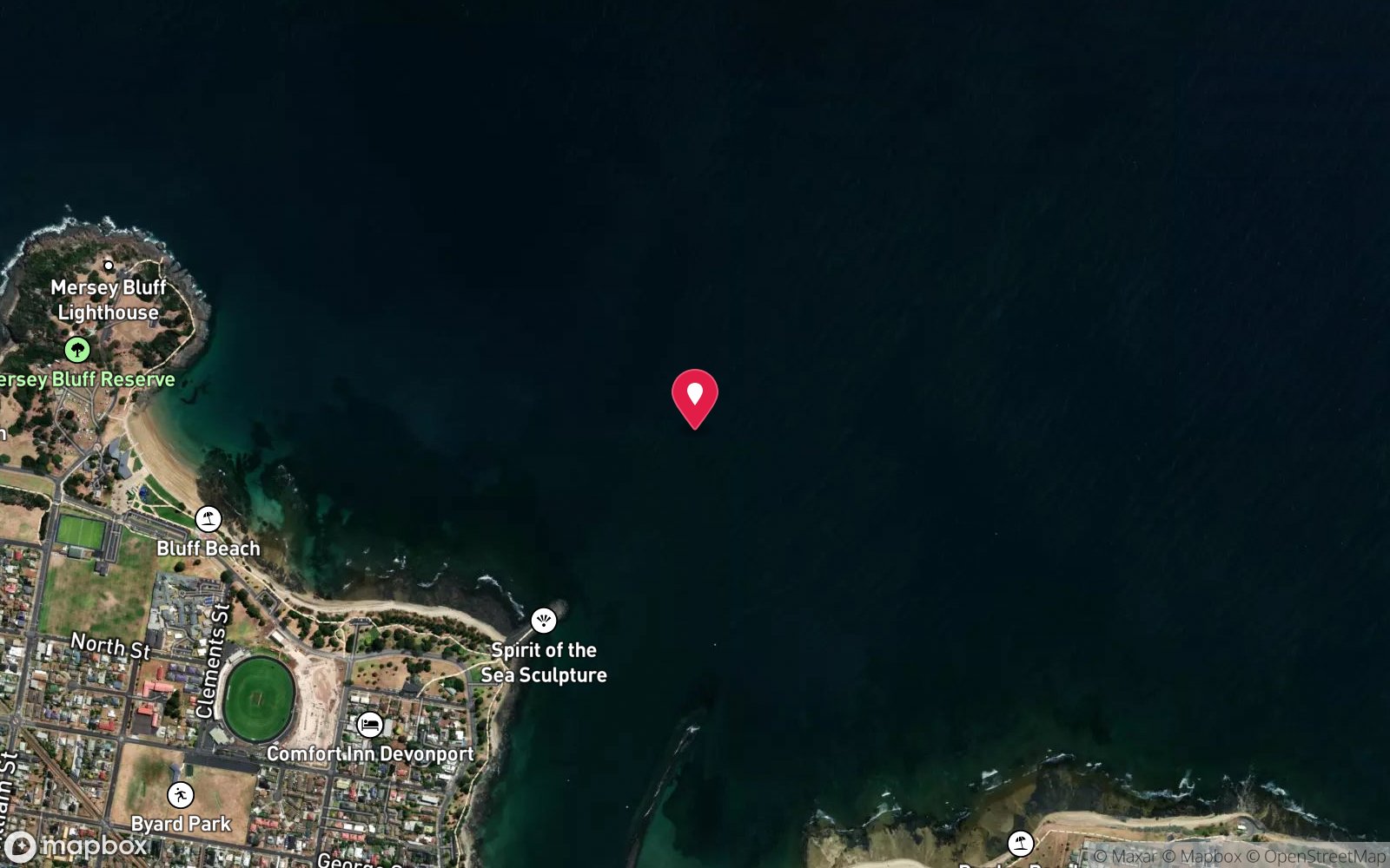
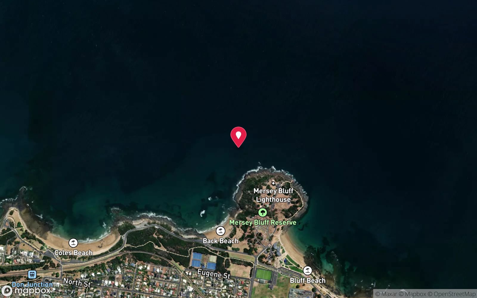
Satellite views
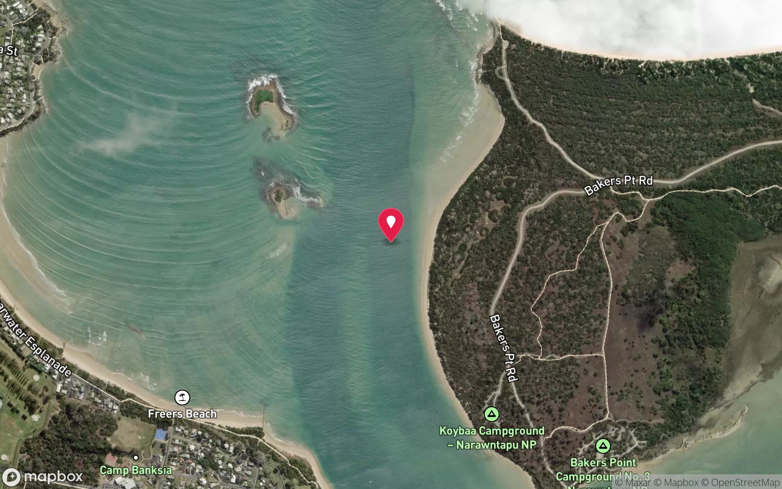
Port Sorell Estuary (Penguin Island): frequently asked questions
How deep is Port Sorell Estuary (Penguin Island)?
Port Sorell Estuary (Penguin Island) reaches a maximum depth of 15 m, with the shallowest part at about 8 m; most of the dive is spent around 10 m.
What certification do I need to dive Port Sorell Estuary (Penguin Island)?
Open Water is the recommended minimum. Rated intermediate because of tidal current that must be timed, boat traffic overhead, cold water.
Can I shore dive Port Sorell Estuary (Penguin Island)?
No, it is reached by boat (about 10 minutes). A dive centre is required: boat access only.
When is the best time to dive Port Sorell Estuary (Penguin Island)?
December-April, on calm days with southerly (offshore) winds.
What marine life will I see at Port Sorell Estuary (Penguin Island)?
Regularly recorded: Sponge gardens, nudibranchs, seahorses, estuary fish.
What wetsuit do I need at Port Sorell Estuary (Penguin Island)?
7 mm wetsuit with hood, gloves and boots (or semi-dry); drysuit common, especially May-October.
How cold is the water at Port Sorell Estuary (Penguin Island)?
Typically 16-19 °C in summer and 11-13 °C in winter.
What are the main hazards at Port Sorell Estuary (Penguin Island)?
Strong tides outside high-water slack; boat traffic; shallow sandbanks. See the hazards section above for the full list.
Where is the nearest recompression chamber to Port Sorell Estuary (Penguin Island)?
Royal Hobart Hospital Hyperbaric Medicine Unit (Hobart) - the only chamber in Tasmania; Launceston has none. DAN emergency hotline 1800 088 200. In an emergency call 000, then DAN Asia-Pacific on 1800 088 200.
Diving in Tasmania North & North-West
Bass Strait's Tasmanian shore from Devonport to Stanley and Rocky Cape is clear, cold and almost undived: sponge gardens, kelp and rock lobster around Wynyard, Boat Harbour and Sisters Beach, the Table Cape wall, and the Rocky Cape National Park reefs. Visibility of 20 m is common in settled weather.
Getting there: Fly into Devonport, Burnie or Launceston. Mostly shore dives with beach and rock entries; occasional club boat dives.
All Tasmania North & North-West dive sites and a suggested itinerary →
Sources
Data confidence: Low · Being verified: Coordinates approximate.. Last updated September 2026. Know this site better? How to send a correction
Nearby dive sites
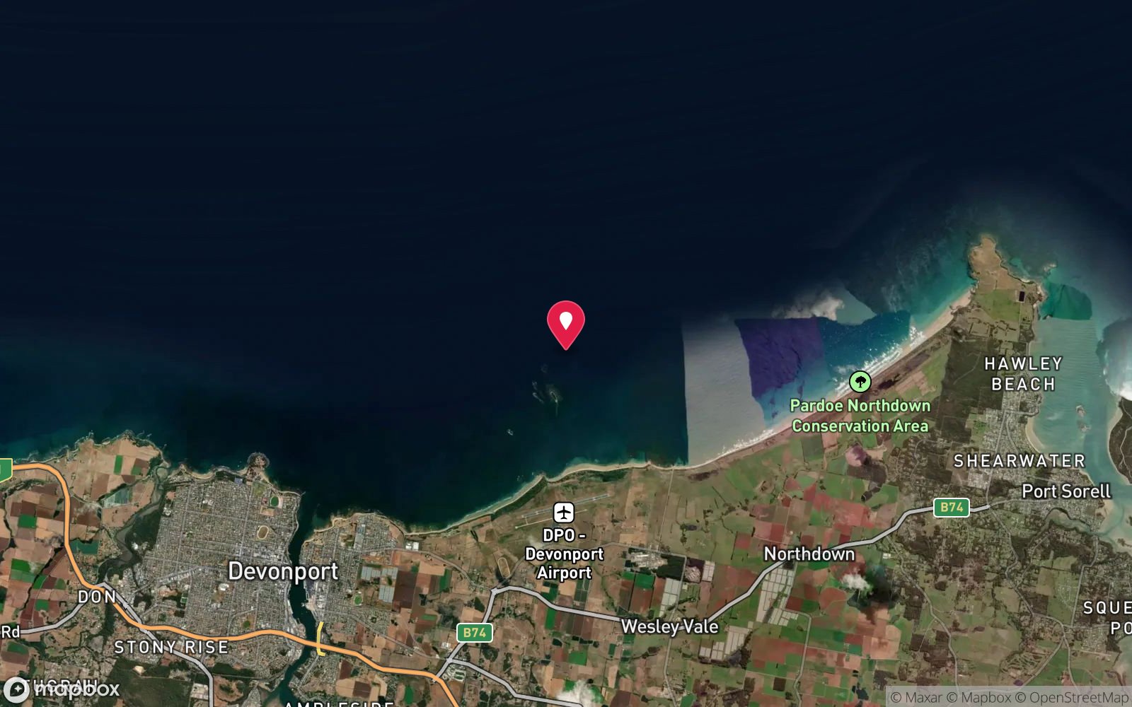
More drift dives in Tasmania
Explore more
This region