Dive slate · divesites.com.au · printed 7 Nov 2026
Dunalley (Denison) Canal
Tasman Peninsula, Tasmania · near Dunalley
| Depth | 3–10 m |
|---|---|
| Minimum level | Advanced Open Water |
| Difficulty | Intermediate |
| Access | Boat (day trip) |
| Entry | Back roll from a manned safety boat at the up-current end |
| Current | Strong |
| Visibility | 3-8 m |
| Water | summer 14-18 °C, winter 10-13 °C |
| Suit | Drysuit strongly recommended year-round; 7 mm semi-dry or two-piece 7 mm wetsuit with hood and gloves is the minimum in summer |
| Best season | Late summer to autumn (February-May) for settled weather and best visibility; diveable year-round between fronts |
| Bottom time | 25 min |
| Position | -42.88800, 147.80800 (approximate) |
| Permit | Harbour Master (TasPorts/MAST) permission required to dive the canal. |
| Nearest chamber | Royal Hobart Hospital Hyperbaric Medicine Unit (Hobart CBD); DAN emergency hotline 1800 088 200 |
| Emergency | 000 · DAN Asia-Pacific diving emergency 1800 088 200 |
Dunalley (Denison) Canal
Also known as Denison Canal, Dunalley canal drift
South-east Tasmania's only easy drift dive, with seasonal spider crab aggregations.
Near Dunalley · Tasman Peninsula, Tasmania
- Depth
- 3–10 m
- Minimum level
- Advanced Open Water
- Access
- Boat (day trip)
- Boat ride
- ~5 min
- Water
- 14-18 °C
- Visibility
- 3-8 m
Dunalley (Denison) Canal3–10 m · Advanced Open Water
Dive factsDepths, conditions, location & safety
Season
Off-peak nowBest months: January, February, March, April, May, December.
Late summer to autumn (February-May) for settled weather and best visibility; diveable year-round between fronts
- Best months
- Now (November)
Dive facts
- Depth
- 3–10 m
- Typical depth
- 8 m
- Certification
- Advanced Open Water
- Difficulty
- Intermediate
- Depth tier
- Easy (0–10 m)
- Access
- Boat (day trip)
- Offshore
- 0 km
- Dive centre needed
- Yes – permit/guide required
- Shore / independent
- No
- Boat ride
- ~5 min
- Current
- Strong
- Visibility
- 3-8 m
- Water temp (summer)
- 14-18 °C
- Water temp (winter)
- 10-13 °C
- Water
- Cold Temperate
- Bottom time
- 25 min
- Dive traffic
- Rarely dived (private boat/club only)
- Night dive
- No
- Snorkel friendly
- No
Exposure suit
Drysuit strongly recommended year-round; 7 mm semi-dry or two-piece 7 mm wetsuit with hood and gloves is the minimum in summer
Location
Dunalley
-42.88800, 147.80800
Approximate position — not for navigation.
Open in Google MapsPrimary source: marinelife.org.auMarine park & permits
Harbour Master (TasPorts/MAST) permission required to dive the canal.
Nearest recompression chamber
Royal Hobart Hospital Hyperbaric Medicine Unit (Hobart CBD); DAN emergency hotline 1800 088 200
Diving emergency: call 000, then DAN AP 1800 088 200.
Trip planner
Build a trip around Dunalley (Denison) Canal →
A day-by-day plan for Tasman Peninsula with this site locked in.
This guide is a planning aid. Conditions change daily — confirm with a local dive centre and dive within your training. Data & safety notes.
Dive profile
How this site rates
Scores are computed from the recorded data, not opinions. How?
At a glance
Dunalley (Denison) Canal is a drift boat dive in Tasman Peninsula, TAS, 3–10 m, suited to Advanced Open Water divers, strong current, about 5 minutes by boat.
Rated intermediate because of strong current, boat traffic overhead, cold water.
Why dive here
- South-east Tasmania's only easy drift dive, with seasonal spider crab aggregations.
- Rarely dived: expect to have the site to yourself, and plan your own logistics.
About Dunalley (Denison) Canal
The Denison Canal at Dunalley was cut through the narrow isthmus between Blackman Bay and Norfolk Bay in the early twentieth century to save coastal vessels the long voyage around the Tasman Peninsula, and it is still maintained for boat traffic today, with a swing bridge carrying the Arthur Highway. The Marine Life Network guide calls it the only easy drift dive in south-east Tasmania: the tidal stream through the canal can be fast, carrying divers along the muddy bottom at about 10 m. Schools of soldier fish (a local name, probably for bullseyes or cardinalfish) shelter along the canal walls, and in season spider crabs gather in mating congregations – an extraordinary spectacle when hundreds or thousands of crabs pile on top of each other.
The bottom is mud with scattered debris, and there are the usual estuarine species such as flathead, sea stars and small crabs. The dive is strictly controlled: the guide says divers need Harbour Master permission and a manned safety boat that follows and picks them up, because the canal is an active navigation channel. Visibility is usually modest.
For a group with the right arrangements, the canal provides a fun and unusual dive. Without them, it should not be attempted. Dunalley has a pub, cafe and bakery, and makes a convenient stop on the way to the Tasman Peninsula.
Divers interested in the site should contact TasPorts or Marine and Safety Tasmania well in advance, and dive with a club that has done it before. Spider crab aggregations elsewhere in southern Australia typically occur in late autumn and winter, so ask locally about timing.
Getting there & entry
Narrow man-made canal through the isthmus at Dunalley linking Blackman Bay and Norfolk Bay, dived as a tidal drift.
Dunalley is on the Arthur Highway about 55 km (45 minutes) east of Hobart via Sorell. The canal runs beside the town under the swing bridge. The Marine Life Network guide stresses that diving requires permission from the Harbour Master (now TasPorts/MAST) and a manned safety boat that follows divers and picks them up at the end, or divers swim to shore.
Launch at the Dunalley boat ramp. Never dive the canal while vessels are transiting or the bridge is opening.
Entry: Back roll from a manned safety boat at the up-current end
Facilities: Dunalley boat ramp, pub, cafe and bakery; fills in Hobart.
Weather, swell & tides
The canal is sheltered from swell, so weather matters less than tide. The tidal difference between Blackman Bay and Norfolk Bay drives a fast current through the canal – the Marine Life Network describes it as 'quite fast'. Plan the dive for the direction and strength of the stream you want, with the safety boat following.
Strong winds make boat handling in the narrow channel harder. Visibility is typically low over the muddy bottom.
Best season: Late summer to autumn (February-May) for settled weather and best visibility; diveable year-round between fronts
If it's blown out
Sheltered or shore sites within 25 km that often work when Dunalley (Denison) Canal doesn't.
- Sloping Island Kelp Forest · 15 km · Max 12 m
- Eaglehawk Neck Jetty (Pirates Bay) · 17 km · Max 12 m
- Whale Rock (Spectacle Head) · 18 km · Max 12 m
- Spectacle Head · 18 km · Max 8 m
How the dive is usually run
Enter at the up-current end with the safety boat in attendance, descend to the bottom at 8-10 m, and drift the length of the canal together as a group with a surface marker. Surface at the far end for boat pick-up or swim to the bank.
Marine life
- Spider crabs (seasonal aggregations)
- schooling 'soldier fish' (cardinalfish/bullseyes)
- flathead
- sea stars
- crabs
- estuarine fish
Linked species have their own page listing every site where they are recorded. All marine life →
Training required
Shallow enough for snorkellers and for a first dive under supervision. Any certified diver can dive it.
Courses that help here
- Drift Diver – Current is a feature of the dive.
- Drysuit Diver – Cold water; locals dive dry for much of the year.
- Underwater Navigation – Navigation is part of the dive plan.
- Peak Performance Buoyancy – Silt and low visibility punish poor trim.
Depth tiers: 0–10 m easy · to 18 m Open Water · 18–30 m Advanced (25 m+ is a deep dive) · 30–40 m Deep specialty · 40 m+ technical. All courses
Hazards & warnings
Active navigation channel – Harbour Master/TasPorts permission required; fast tidal current; swing bridge and boat traffic; manned safety boat mandatory; low visibility.
Technical notes
Requires prior approval from the port authority; dive only when no vessel movements are scheduled.
Dive centres that go here
No regular operator; occasional club dives with Harbour Master clearance and a safety boat.
Operators recorded for Dunalley (Denison) Canal
Other dive centres in Tasman Peninsula
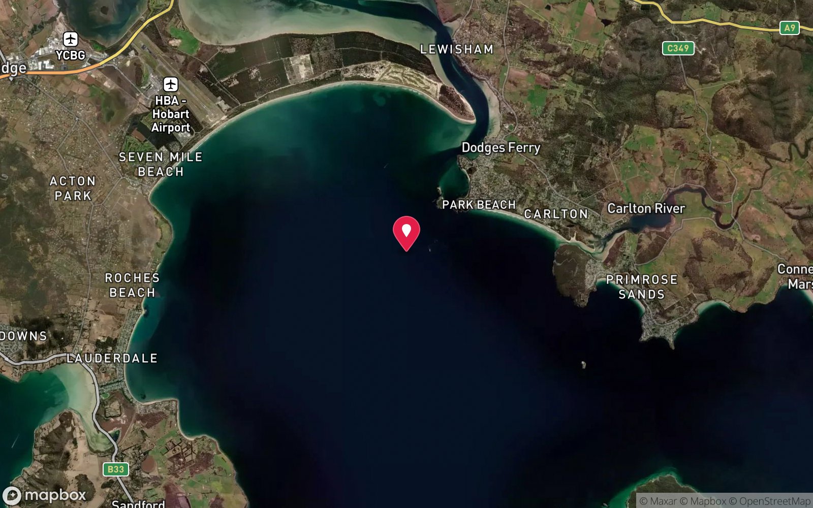
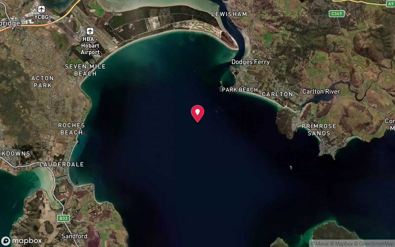
Map
7 pinned sites. Pins marked approximate on their pages show the general area only; not for navigation.
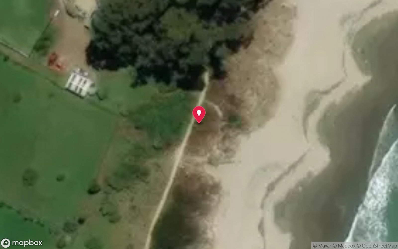
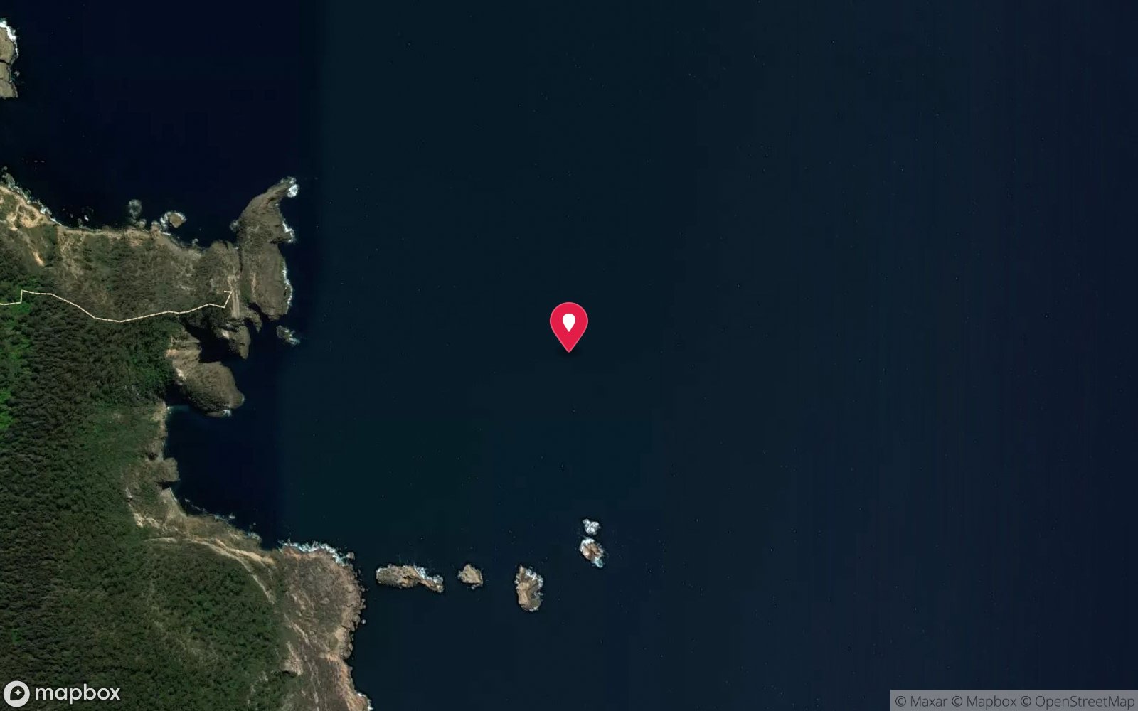
Satellite views
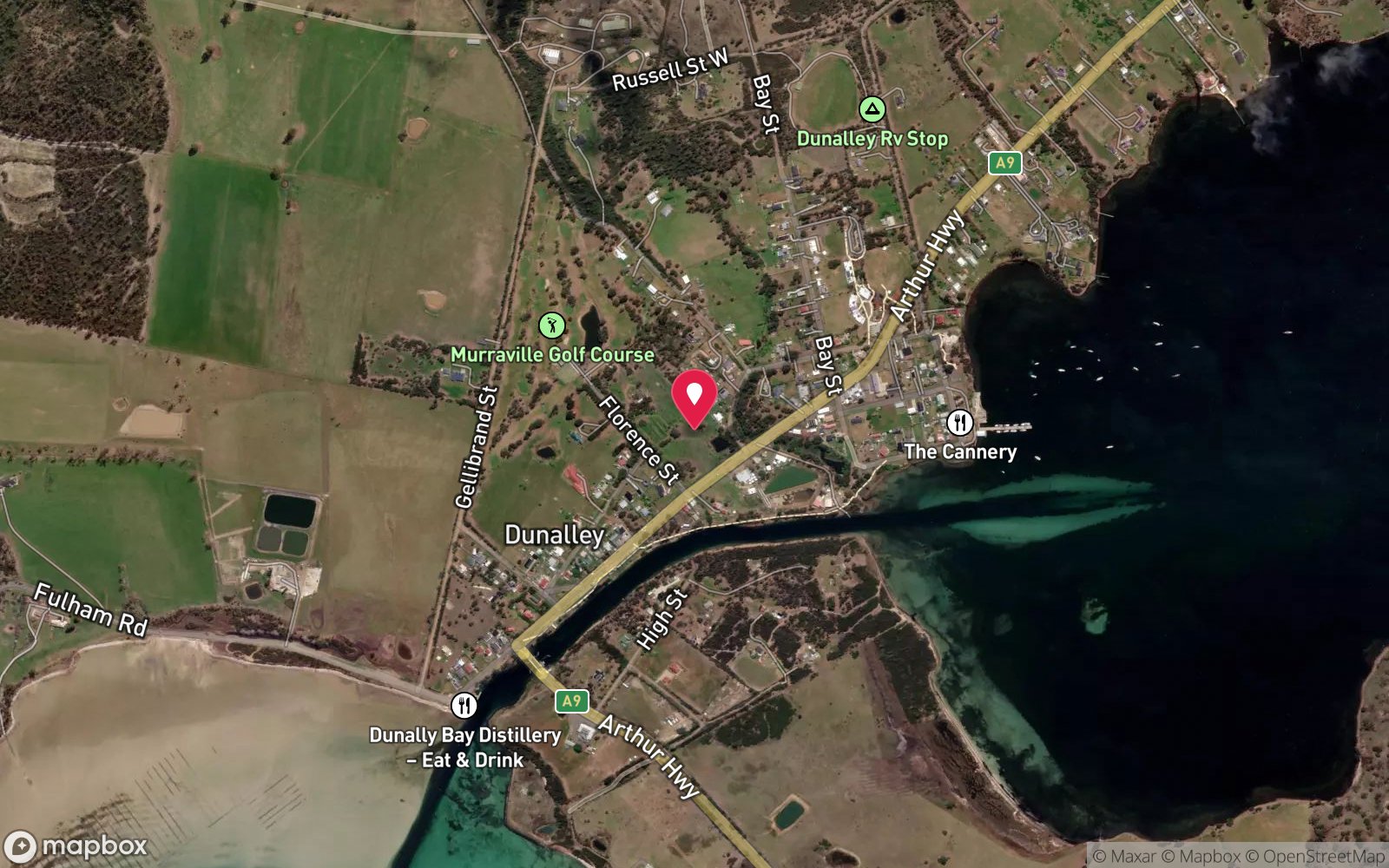
Dunalley (Denison) Canal: frequently asked questions
How deep is Dunalley (Denison) Canal?
Dunalley (Denison) Canal reaches a maximum depth of 10 m, with the shallowest part at about 3 m; most of the dive is spent around 8 m.
What certification do I need to dive Dunalley (Denison) Canal?
Advanced Open Water is the recommended minimum. Rated intermediate because of strong current, boat traffic overhead, cold water.
Can I shore dive Dunalley (Denison) Canal?
No, it is reached by boat (about 5 minutes). A dive centre is required: permit/guide required.
When is the best time to dive Dunalley (Denison) Canal?
Late summer to autumn (February-May) for settled weather and best visibility; diveable year-round between fronts.
What marine life will I see at Dunalley (Denison) Canal?
Regularly recorded: Spider crabs (seasonal aggregations), schooling 'soldier fish' (cardinalfish/bullseyes), flathead, sea stars, crabs, estuarine fish.
What wetsuit do I need at Dunalley (Denison) Canal?
Drysuit strongly recommended year-round; 7 mm semi-dry or two-piece 7 mm wetsuit with hood and gloves is the minimum in summer.
How cold is the water at Dunalley (Denison) Canal?
Typically 14-18 °C in summer and 10-13 °C in winter.
What are the main hazards at Dunalley (Denison) Canal?
Active navigation channel – Harbour Master/TasPorts permission required; fast tidal current; swing bridge and boat traffic; manned safety boat mandatory; low visibility. See the hazards section above for the full list.
Where is the nearest recompression chamber to Dunalley (Denison) Canal?
Royal Hobart Hospital Hyperbaric Medicine Unit (Hobart CBD); DAN emergency hotline 1800 088 200. In an emergency call 000, then DAN Asia-Pacific on 1800 088 200.
Diving in Tasman Peninsula
The Tasman Peninsula has the tallest sea cliffs in the southern hemisphere, and beneath them some of Australia's most dramatic diving: the Cathedral Cave system and Waterfall Bay's caves and wall, the Sisters and Hippolyte Rocks with their fur seals, the Thumbs, and the remnant giant kelp at Fortescue Bay and Munro Bight. Deep sites like the Patersons Arch and the Nord wreck (40 m) reward experienced divers.
Getting there: Ninety minutes from Hobart. A dedicated dive operator at Eaglehawk Neck runs boat dives; Fortescue Bay and Pirates Bay have shore access.
Sources
Data confidence: Low · Being verified: Confirm current permission process with TasPorts/MAST; 'soldier fish' identity unclear.. Last updated September 2026. Know this site better? How to send a correction