Dive slate · divesites.com.au · printed 7 Nov 2026
Salters Point (Cape Raoul)
Tasman Peninsula, Tasmania · near Port Arthur
| Depth | 8–28 m |
|---|---|
| Minimum level | Advanced Open Water |
| Difficulty | Intermediate |
| Access | Boat (day trip) |
| Entry | Back roll or giant stride from charter boat |
| Current | Mild |
| Visibility | 10-20 m |
| Water | summer 14-18 °C, winter 10-13 °C |
| Suit | Drysuit strongly recommended year-round; 7 mm semi-dry or two-piece 7 mm wetsuit with hood and gloves is the minimum in summer |
| Best season | Late summer to autumn (February-May) for settled weather and best visibility; diveable year-round between fronts |
| Bottom time | 40 min |
| Position | not published |
| Permit | Tasman National Park coast; seal-watching guidelines apply. |
| Nearest chamber | Royal Hobart Hospital Hyperbaric Medicine Unit (Hobart CBD); DAN emergency hotline 1800 088 200 |
| Emergency | 000 · DAN Asia-Pacific diving emergency 1800 088 200 |
Salters Point (Cape Raoul)
Also known as Salter's Point, Cape Raoul
Boulder ridges and kelp under the famous columnar cliffs of Cape Raoul.
Near Port Arthur · Tasman Peninsula, Tasmania
- Depth
- 8–28 m
- Minimum level
- Advanced Open Water
- Access
- Boat (day trip)
- Boat ride
- ~25 min
- Water
- 14-18 °C
- Visibility
- 10-20 m
Salters Point (Cape Raoul)8–28 m · Advanced Open Water
Dive factsDepths, conditions, location & safety
Season
Off-peak nowBest months: January, February, March, April, May, December.
Late summer to autumn (February-May) for settled weather and best visibility; diveable year-round between fronts
- Best months
- Now (November)
Dive facts
- Depth
- 8–28 m
- Typical depth
- 18 m
- Certification
- Advanced Open Water
- Difficulty
- Intermediate
- Depth tier
- Advanced Open Water (18–30 m)
- Access
- Boat (day trip)
- Dive centre needed
- Yes – boat access only
- Shore / independent
- No
- Boat ride
- ~25 min
- Current
- Mild
- Visibility
- 10-20 m
- Water temp (summer)
- 14-18 °C
- Water temp (winter)
- 10-13 °C
- Water
- Cold Temperate
- Bottom time
- 40 min
- Dive traffic
- Rarely dived (private boat/club only)
- Night dive
- No
- Snorkel friendly
- No
Exposure suit
Drysuit strongly recommended year-round; 7 mm semi-dry or two-piece 7 mm wetsuit with hood and gloves is the minimum in summer
Location
Cape Raoul
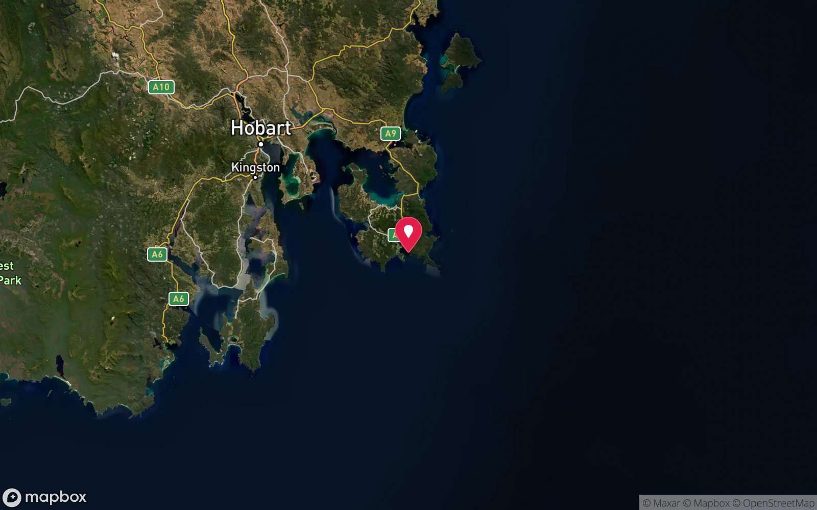
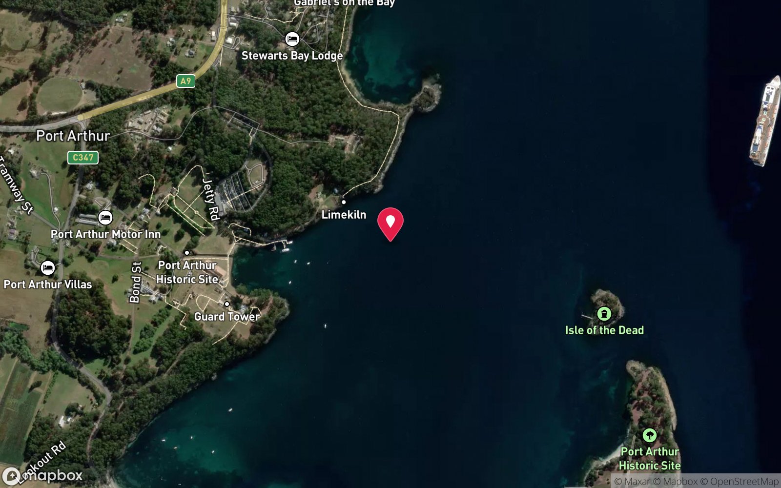
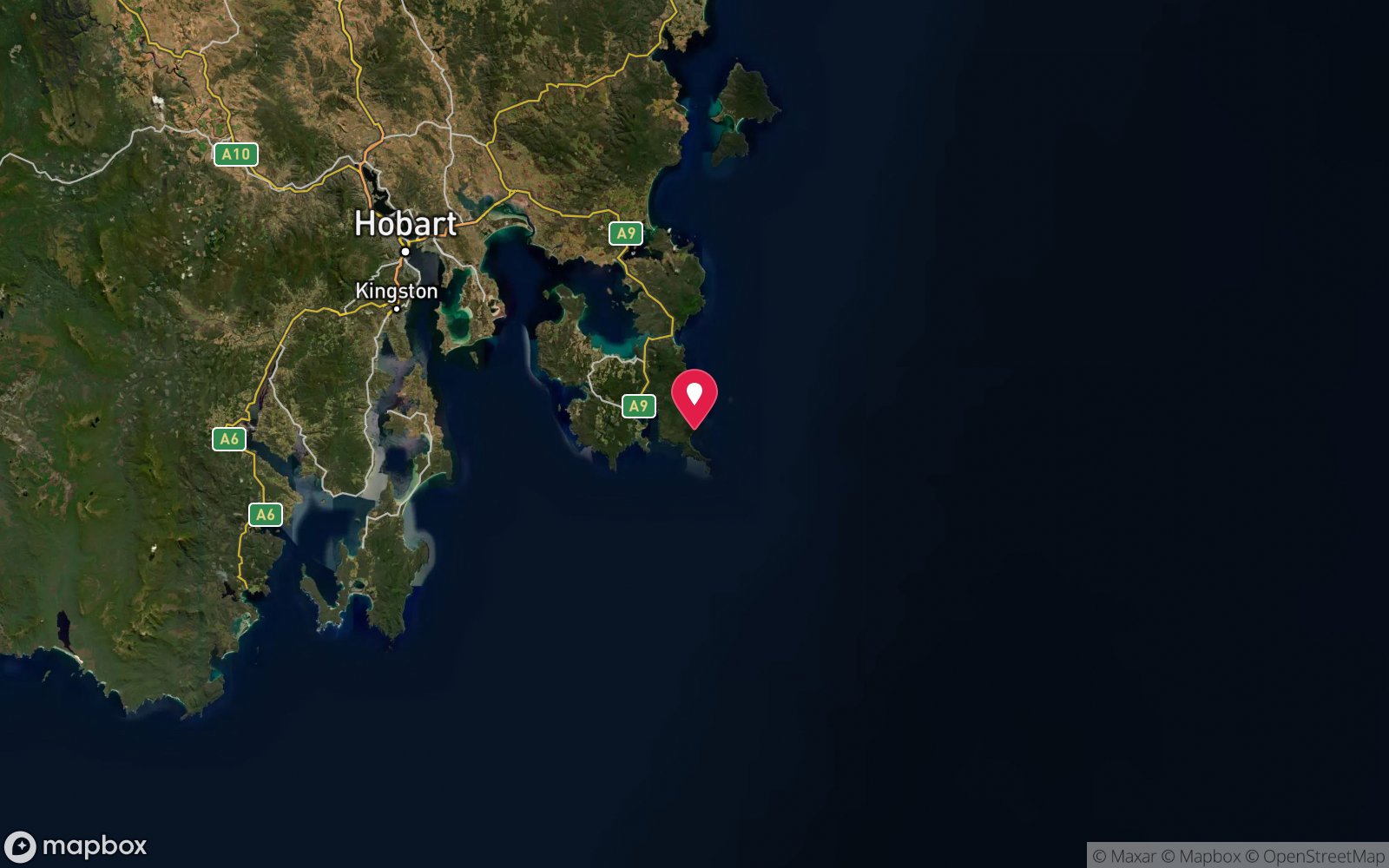
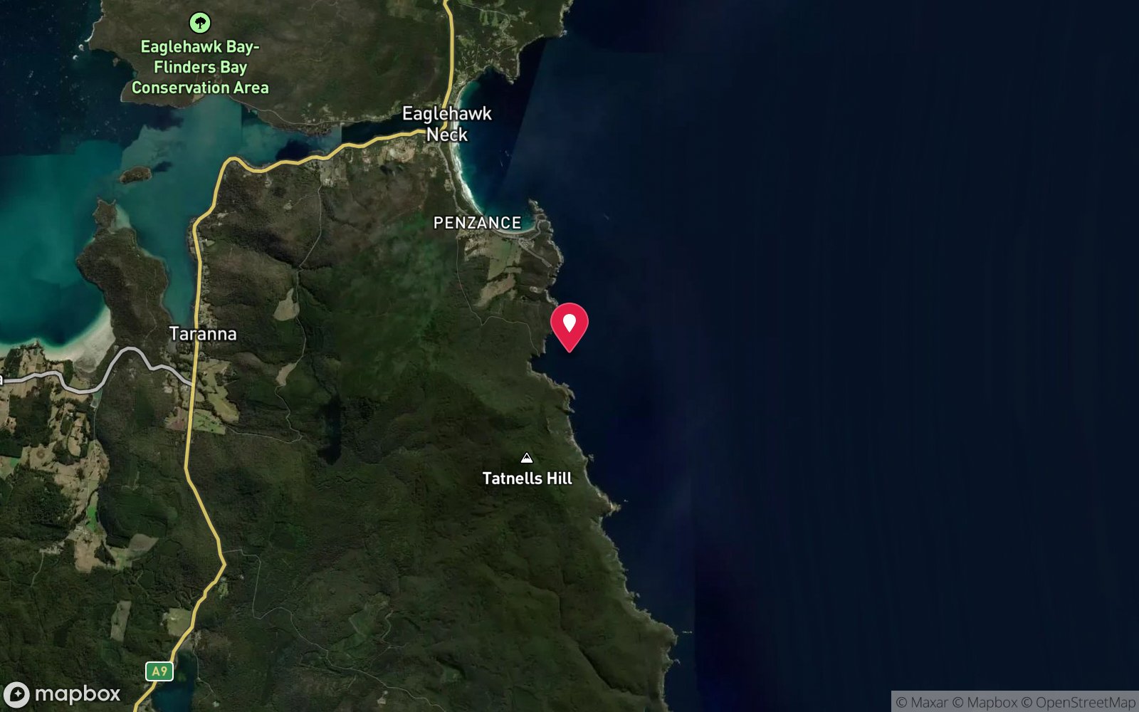
No published coordinates. The map above shows the general area, estimated from other documented sites near Port Arthur.
Primary source: marinelife.org.auMarine park & permits
Tasman National Park coast; seal-watching guidelines apply.
Nearest recompression chamber
Royal Hobart Hospital Hyperbaric Medicine Unit (Hobart CBD); DAN emergency hotline 1800 088 200
Diving emergency: call 000, then DAN AP 1800 088 200.
Trip planner
Build a trip around Salters Point (Cape Raoul) →
A day-by-day plan for Tasman Peninsula with this site locked in.
This guide is a planning aid. Conditions change daily — confirm with a local dive centre and dive within your training. Data & safety notes.
Dive profile
How this site rates
Scores are computed from the recorded data, not opinions. How?
At a glance
Salters Point (Cape Raoul) is a reef boat dive in Tasman Peninsula, TAS, 8–28 m, suited to Advanced Open Water divers, about 25 minutes by boat.
Rated intermediate because of depth beyond 18 m, cold water.
Why dive here
- Boulder ridges and kelp under the famous columnar cliffs of Cape Raoul.
- Rarely dived: expect to have the site to yourself, and plan your own logistics.
- Visibility often reaches 10-20 m.
Conditions to avoid
- Strong southerly or south-east swell and wind
- Spring tides (strong current)
About Salters Point (Cape Raoul)
Cape Raoul is the southern tip of the Tasman Peninsula's western arm, famous for its spectacular organ-pipe columns of dolerite and a 300 m clifftop walk. The Marine Life Network guide lists Salters Point near Cape Raoul as a boat dive of 8-28 m, describing a volcanic bluff with kelp and ridges of boulders, and recording crayfish, sea tulips and butterfly perch. The ridges run down the slope like spokes, creating gutters and overhangs where rock lobsters shelter.
Sea tulips – stalked ascidians that sway on the reef – are a notable feature; they are the same animals that spotted handfish use for spawning in the Derwent estuary. Schools of butterfly perch hang over the deeper ridges, and wrasse, leatherjackets and morwong are common on the kelp-covered upper reef. Seal Rock, a fur seal haul-out near Cape Raoul, can be seen from the cape walking track and from cruise boats, so seals may appear during a dive.
The site is rarely dived and documentation is limited, but its setting is magnificent. It suits experienced divers with their own boat and good local knowledge. Remember the seal-watching rules: vessels must keep at least 50 m from seals and 100 m during the November-December pupping season, and slow down within 200 m of a colony.
Cape Raoul is best combined with other western-side sites such as Wedge Island or Fosters Rock on a calm day. The run around the cape passes some of the finest coastal scenery in Tasmania, and even on a day when conditions do not allow a dive, the boat trip under the columns is worth making.
Getting there & entry
Volcanic (dolerite) bluff with kelp and boulder ridges near Cape Raoul, the columnar southern tip of the Tasman Peninsula's western arm.
Boat access only. Launch at Port Arthur (Carnarvon Bay ramp) or Nubeena and run south-west around Cape Raoul, roughly 20-30 minutes depending on the ramp and sea. Cape Raoul itself is reached on land by a 7 km walking track from Stormlea Road off the Nubeena Road, but there is no dive access from the track.
The exact mark for Salters Point is not published; use a sounder to find the ridges.
Entry: Back roll or giant stride from charter boat
Weather, swell & tides
Cape Raoul faces south into the Southern Ocean and is exposed to all southerly swell. Dive only on calm days with northerly or light westerly winds and swell under about 1 m. Seal Rock nearby holds a fur seal colony; observe vessel approach distances.
Currents off the cape can be moderate on spring tides. Seas can rise quickly when a south-westerly change arrives, so keep an eye on the forecast.
Best season: Late summer to autumn (February-May) for settled weather and best visibility; diveable year-round between fronts
How the dive is usually run
Descend on the kelp-covered slope, follow a boulder ridge down to 20-25 m, then zig-zag back up along the next ridge looking for crayfish and sea tulips. Ascend in the kelp at the bluff.
Marine life
- Southern rock lobster
- sea tulips
- butterfly perch
- kelp
- wrasse
- leatherjackets
- morwong
- fur seals →
Linked species have their own page listing every site where they are recorded. All marine life →
Training required
Beyond 18 m an Advanced certification (which includes a deep dive to 30 m) is the accepted minimum. Anything past 25 m is a deep dive in practice.
Open Water divers can dive the shallower section (typical depth 18 m); the full site to 28 m needs Advanced Open Water. Operators often quote Open Water. At more than 25 m this counts as a deep dive: watch no-decompression limits and gas.
Operators' own listing: Open Water.
Courses that help here
- Enriched Air Nitrox – Longer no-decompression time at 25 m and deeper.
- Drysuit Diver – Cold water; locals dive dry for much of the year.
Depth tiers: 0–10 m easy · to 18 m Open Water · 18–30 m Advanced (25 m+ is a deep dive) · 30–40 m Deep specialty · 40 m+ technical. All courses
Hazards & warnings
Exposed to southerly swell; remote; seal colony nearby – observe approach distances, shark awareness; no shore exit.
Dive centres that go here
No regular operator; private boats from Port Arthur or Nubeena. Seal-watching cruises (Pennicott) pass Cape Raoul.
Operators recorded for Salters Point (Cape Raoul)
Eaglehawk Dive Centre
ProfiledEaglehawk Neck · Tasman Peninsula · TAS
The principal operation at Eaglehawk Neck, servicing the Tasman Peninsula's sea caves, walls and deeper wrecks.
eaglehawkdive.com.au · 0417 013 518
Go Dive Tasmania
ListedHobart · Hobart & Derwent · TAS
A Tasmanian business providing training, equipment and service support for cold-water diving.
godivetas.com.au · (03) 6231 9749
General area
No position has been published for Salters Point (Cape Raoul). The circle shows where it is likely to be, worked out from other documented sites near Port Arthur. Ask a local operator for the exact site.
Dashed circle: general area (about 11 km), from other documented sites near Port Arthur. 6 pinned sites. Pins marked approximate on their pages show the general area only; not for navigation.
Salters Point (Cape Raoul): frequently asked questions
How deep is Salters Point (Cape Raoul)?
Salters Point (Cape Raoul) reaches a maximum depth of 28 m, with the shallowest part at about 8 m; most of the dive is spent around 18 m.
What certification do I need to dive Salters Point (Cape Raoul)?
Advanced Open Water is the recommended minimum. Open Water divers can dive the shallower section (typical depth 18 m); the full site to 28 m needs Advanced Open Water. Operators often quote Open Water. At more than 25 m this counts as a deep dive: watch no-decompression limits and gas. Rated intermediate because of depth beyond 18 m, cold water.
Can I shore dive Salters Point (Cape Raoul)?
No, it is reached by boat (about 25 minutes). A dive centre is required: boat access only.
When is the best time to dive Salters Point (Cape Raoul)?
Late summer to autumn (February-May) for settled weather and best visibility; diveable year-round between fronts.
What marine life will I see at Salters Point (Cape Raoul)?
Regularly recorded: Southern rock lobster, sea tulips, butterfly perch, kelp, wrasse, leatherjackets, morwong, fur seals.
What wetsuit do I need at Salters Point (Cape Raoul)?
Drysuit strongly recommended year-round; 7 mm semi-dry or two-piece 7 mm wetsuit with hood and gloves is the minimum in summer.
How cold is the water at Salters Point (Cape Raoul)?
Typically 14-18 °C in summer and 10-13 °C in winter.
What are the main hazards at Salters Point (Cape Raoul)?
Exposed to southerly swell; remote; seal colony nearby – observe approach distances, shark awareness; no shore exit. See the hazards section above for the full list.
Where is the nearest recompression chamber to Salters Point (Cape Raoul)?
Royal Hobart Hospital Hyperbaric Medicine Unit (Hobart CBD); DAN emergency hotline 1800 088 200. In an emergency call 000, then DAN Asia-Pacific on 1800 088 200.
Diving in Tasman Peninsula
The Tasman Peninsula has the tallest sea cliffs in the southern hemisphere, and beneath them some of Australia's most dramatic diving: the Cathedral Cave system and Waterfall Bay's caves and wall, the Sisters and Hippolyte Rocks with their fur seals, the Thumbs, and the remnant giant kelp at Fortescue Bay and Munro Bight. Deep sites like the Patersons Arch and the Nord wreck (40 m) reward experienced divers.
Getting there: Ninety minutes from Hobart. A dedicated dive operator at Eaglehawk Neck runs boat dives; Fortescue Bay and Pirates Bay have shore access.
Sources
- marinelife.org.au/?page_id=97
- en.wikipedia.org/wiki/Cape_Raoul
- nre.tas.gov.au/wildlife-management/seal-watching-guidelines
- ract.com.au/membership/related-articles/seals-in-sight
Data confidence: Low · Being verified: Exact location of Salters Point unconfirmed.. Last updated September 2026. Know this site better? How to send a correction