Dive slate · divesites.com.au · printed 9 Nov 2026
Frying Pan Point (Mason Cove)
Tasman Peninsula, Tasmania · near Port Arthur
| Depth | 1–4 m |
|---|---|
| Minimum level | Snorkel/Any |
| Difficulty | Beginner |
| Access | Shore |
| Entry | Walk-in over rocks at the end of the road |
| Current | None |
| Visibility | 3-10 m |
| Water | summer 14-18 °C, winter 10-13 °C |
| Suit | Drysuit strongly recommended year-round; 7 mm semi-dry or two-piece 7 mm wetsuit with hood and gloves is the minimum in summer |
| Best season | Late summer to autumn (February-May) for settled weather and best visibility; diveable year-round between fronts |
| Bottom time | 45 min |
| Position | -43.15000, 147.85300 (approximate) |
| Permit | No marine permit; Port Arthur Historic Site (World Heritage) rules apply to shore access and heritage material. |
| Nearest chamber | Royal Hobart Hospital Hyperbaric Medicine Unit (Hobart CBD); DAN emergency hotline 1800 088 200 |
| Emergency | 000 · DAN Asia-Pacific diving emergency 1800 088 200 |
Frying Pan Point (Mason Cove)
Also known as Frying Pan Point, Mason Cove, Port Arthur
Very sheltered shallow kelp snorkel in the historic Port Arthur settlement cove.
Near Port Arthur · Tasman Peninsula, Tasmania
- Depth
- 1–4 m
- Minimum level
- Snorkel/Any
- Access
- Shore
- Boat ride
- Shore entry
- Water
- 14-18 °C
- Visibility
- 3-10 m
Frying Pan Point (Mason Cove)1–4 m · Snorkel/Any · Shore
Dive factsDepths, conditions, location & safety
Season
Off-peak nowBest months: January, February, March, April, May, December.
Late summer to autumn (February-May) for settled weather and best visibility; diveable year-round between fronts
- Best months
- Now (November)
Dive facts
- Depth
- 1–4 m
- Typical depth
- 3 m
- Certification
- Snorkel/Any
- Difficulty
- Beginner
- Depth tier
- Easy (0–10 m)
- Access
- Shore
- Dive centre needed
- No – independently diveable
- Shore / independent
- Yes
- Current
- None
- Visibility
- 3-10 m
- Water temp (summer)
- 14-18 °C
- Water temp (winter)
- 10-13 °C
- Water
- Cold Temperate
- Bottom time
- 45 min
- Dive traffic
- Rarely dived (private boat/club only)
- Night dive
- Possible
- Snorkel friendly
- Yes
Exposure suit
Drysuit strongly recommended year-round; 7 mm semi-dry or two-piece 7 mm wetsuit with hood and gloves is the minimum in summer
Location
Port Arthur
-43.15000, 147.85300
Approximate position — not for navigation.
Open in Google MapsPrimary source: marinelife.org.auMarine park & permits
No marine permit; Port Arthur Historic Site (World Heritage) rules apply to shore access and heritage material.
Nearest recompression chamber
Royal Hobart Hospital Hyperbaric Medicine Unit (Hobart CBD); DAN emergency hotline 1800 088 200
Diving emergency: call 000, then DAN AP 1800 088 200.
Trip planner
Build a trip around Frying Pan Point (Mason Cove) →
A day-by-day plan for Tasman Peninsula with this site locked in.
This guide is a planning aid. Conditions change daily — confirm with a local dive centre and dive within your training. Data & safety notes.
Dive profile
How this site rates
Scores are computed from the recorded data, not opinions. How?
At a glance
Frying Pan Point (Mason Cove) is a shore / rock platform shore dive you can do independently in Tasman Peninsula, TAS, 1–4 m, suitable for snorkellers and first-time divers.
Rated beginner: sheltered, shallow and manageable for a newly certified diver on a normal day, though note boat traffic overhead and cold water.
Why dive here
- Very sheltered shallow kelp snorkel in the historic Port Arthur settlement cove.
- Snorkel-friendly, so non-diving companions can join at the surface.
- Rarely dived: expect to have the site to yourself, and plan your own logistics.
Conditions to avoid
- Strong southerly or south-east swell and wind
- Strong westerlies
- Outgoing tide or run-off after rain (poor visibility)
About Frying Pan Point (Mason Cove)
Frying Pan Point is a small rocky headland in Mason Cove, the inner harbour where the Port Arthur penal settlement was built. The Marine Life Network guide describes it as a shore dive at the end of the road in 2-4 m, with a rocky headland, Macrocystis kelp and small reef fish. It is essentially a snorkel or very shallow scuba site: the reef drops only a few metres before meeting silt and sand.
The presence of Macrocystis – the giant kelp that has disappeared from most of Tasmania's east coast – is notable, although in such shallow water the plants are short and their condition varies with water temperature from year to year. Small wrasse, leatherjackets, weedfish and juvenile fish shelter in the kelp, and sea stars, crabs and occasional seahorses can be found on the rocks. Visibility is usually modest and deteriorates after rain, when runoff enters the cove.
The site's main virtue is shelter: when the rest of the peninsula is too rough, this cove is nearly always calm. It is suitable for beginners, snorkellers and families, and for a quiet dusk or night snorkel. The surroundings are historically sensitive: the penitentiary, dockyards and other convict-era buildings line the shore, and anything found on the seabed must be left in place.
Before diving, check current access arrangements with the Port Arthur Historic Site, as the shoreline is managed as part of a World Heritage-listed convict site. The historic site offers cafes, toilets and a visitor centre, and a harbour cruise past the Isle of the Dead and Point Puer gives a good overview of the surrounding waters.
Getting there & entry
Small rocky headland at the end of the road in Mason Cove, the inner bay of the Port Arthur settlement, with shallow reef and Macrocystis kelp.
Drive to Port Arthur via the Arthur Highway (about 1 hour 30 minutes from Hobart). The Marine Life Network guide describes shore access at the end of the road on the headland in Mason Cove. Much of the Mason Cove shoreline lies inside the Port Arthur Historic Site, which charges admission and controls access, so confirm current access arrangements with the site before diving; the road end may be outside the site boundary or require site entry.
Carry gear a short distance over rocks to the water; entry is easy in calm conditions.
Entry: Walk-in over rocks at the end of the road
Facilities: Port Arthur Historic Site visitor centre, cafes and toilets nearby; fuel at Port Arthur; fills at Eaglehawk Neck.
Weather, swell & tides
Port Arthur and Carnarvon Bay are sheltered from the east and from most westerly winds, which is why operators such as Go Dive Tasmania launch here when the Eaglehawk Neck coast is blown out. The harbour entrance faces south into Storm Bay, so large southerly and south-westerly groundswell rolls in and brings surge and poor visibility to the outer sites; the inner harbour stays calmer. Strong southerly changes arrive quickly.
Heavy rain washes tannin-stained runoff into the inner harbour. Best conditions follow several days of northerly or light westerly weather; late summer and autumn are the most reliable. Mason Cove is the most sheltered water in Port Arthur and is diveable in almost any wind, but visibility drops after rain.
Best season: Late summer to autumn (February-May) for settled weather and best visibility; diveable year-round between fronts
If it's blown out
Sheltered or shore sites within 25 km that often work when Frying Pan Point (Mason Cove) doesn't.
- Fortescue Bay · 10 km · Max 20 m
- Eaglehawk Neck Jetty (Pirates Bay) · 17 km · Max 12 m
- Safety Cove · 3 km · Max 5 m
- William Pitt Wreck (Canoe Bay) · 9 km · Max 4 m
How the dive is usually run
Enter beside the headland, swim along the rocky edge in 2-4 m through the kelp, and turn at half air to return along the same line.
Marine life
- Macrocystis kelp (variable)
- wrasse
- leatherjackets
- weedfish
- juvenile fish
- sea stars
- crabs
- seahorses (occasional) →
Linked species have their own page listing every site where they are recorded. All marine life →
Training required
Shallow enough for snorkellers and for a first dive under supervision. Any certified diver can dive it.
Courses that help here
- Drysuit Diver – Cold water; locals dive dry for much of the year.
- Peak Performance Buoyancy – Silt and low visibility punish poor trim.
Depth tiers: 0–10 m easy · to 18 m Open Water · 18–30 m Advanced (25 m+ is a deep dive) · 30–40 m Deep specialty · 40 m+ technical. All courses
Hazards & warnings
Access restrictions within the Port Arthur Historic Site; low visibility after rain; boat traffic from harbour cruises and the Isle of the Dead ferry; do not disturb heritage material.
Dive centres that go here
No operator trips; occasional independent shore divers and snorkellers.
Operators recorded for Frying Pan Point (Mason Cove)
Eaglehawk Dive Centre
ProfiledEaglehawk Neck · Tasman Peninsula · TAS
The principal operation at Eaglehawk Neck, servicing the Tasman Peninsula's sea caves, walls and deeper wrecks.
eaglehawkdive.com.au · 0417 013 518
Go Dive Tasmania
ListedHobart · Hobart & Derwent · TAS
A Tasmanian business providing training, equipment and service support for cold-water diving.
godivetas.com.au · (03) 6231 9749
Map
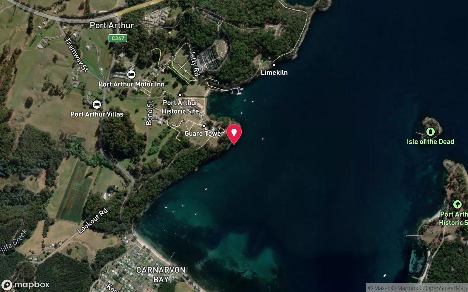
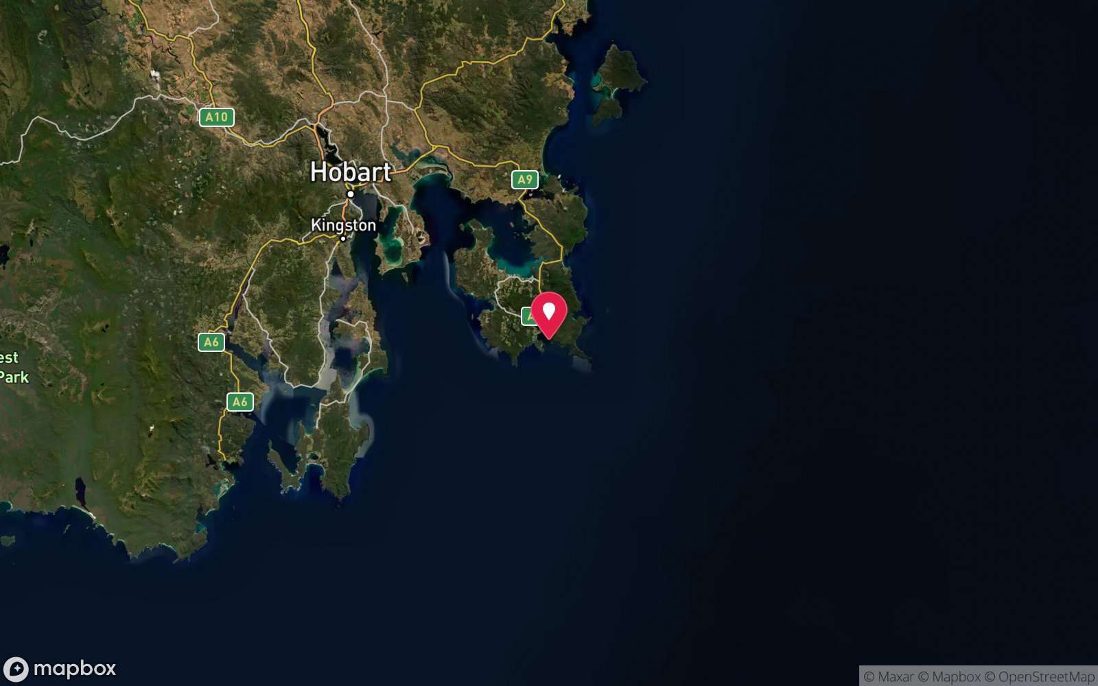
7 pinned sites. Pins marked approximate on their pages show the general area only; not for navigation.
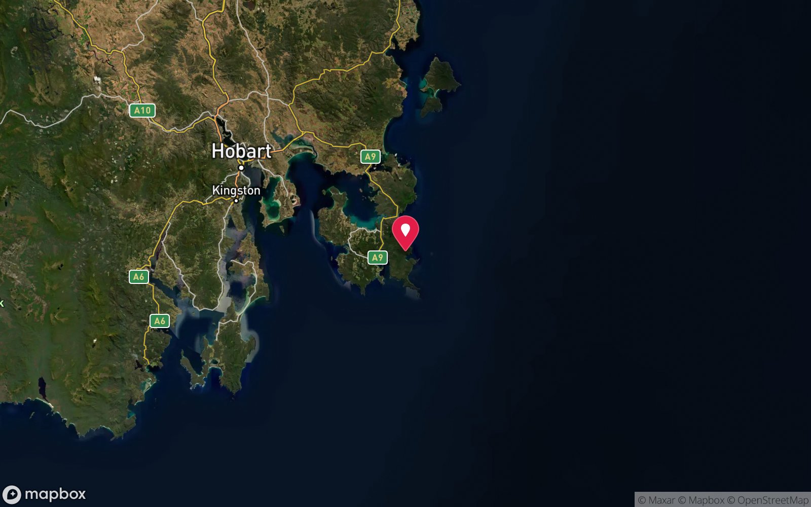
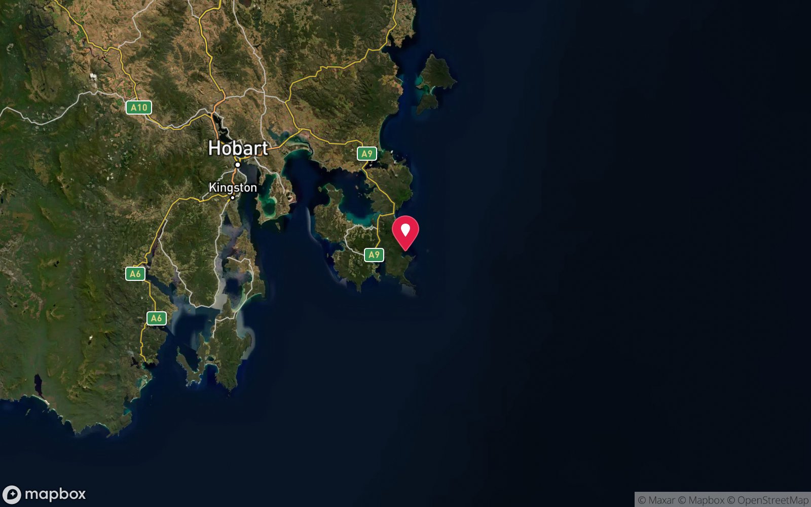
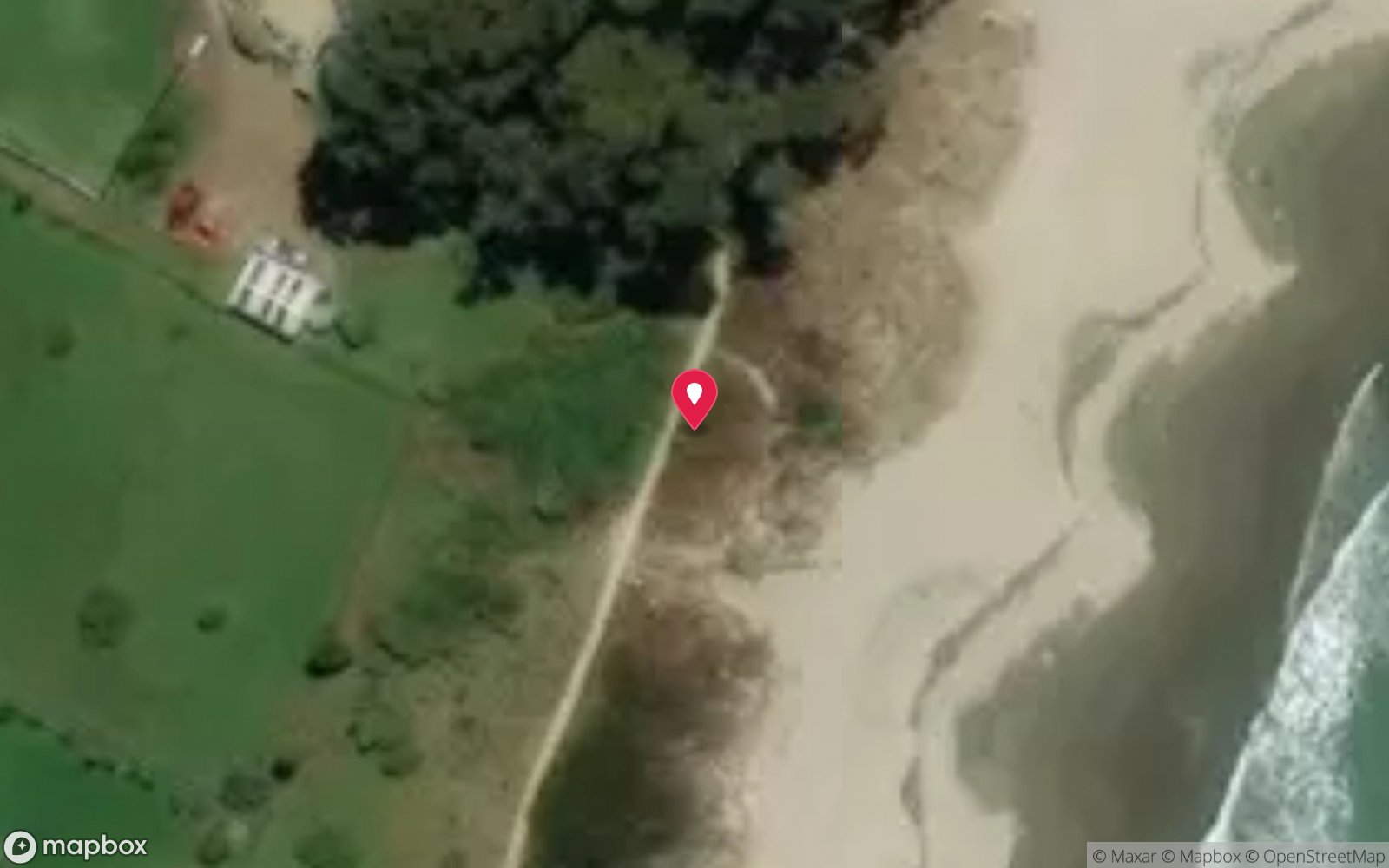
Satellite views
Frying Pan Point (Mason Cove): frequently asked questions
How deep is Frying Pan Point (Mason Cove)?
Frying Pan Point (Mason Cove) reaches a maximum depth of 4 m, with the shallowest part at about 1 m; most of the dive is spent around 3 m.
What certification do I need to dive Frying Pan Point (Mason Cove)?
No certification is needed to snorkel it, and it suits introductory dives. Rated beginner: sheltered, shallow and manageable for a newly certified diver on a normal day, though note boat traffic overhead and cold water.
Can I shore dive Frying Pan Point (Mason Cove)?
Yes. Frying Pan Point (Mason Cove) is a shore dive that can be done independently: walk-in over rocks at the end of the road.
When is the best time to dive Frying Pan Point (Mason Cove)?
Late summer to autumn (February-May) for settled weather and best visibility; diveable year-round between fronts.
What marine life will I see at Frying Pan Point (Mason Cove)?
Regularly recorded: Macrocystis kelp (variable), wrasse, leatherjackets, weedfish, juvenile fish, sea stars, crabs, seahorses (occasional).
What wetsuit do I need at Frying Pan Point (Mason Cove)?
Drysuit strongly recommended year-round; 7 mm semi-dry or two-piece 7 mm wetsuit with hood and gloves is the minimum in summer.
How cold is the water at Frying Pan Point (Mason Cove)?
Typically 14-18 °C in summer and 10-13 °C in winter.
What are the main hazards at Frying Pan Point (Mason Cove)?
Access restrictions within the Port Arthur Historic Site; low visibility after rain; boat traffic from harbour cruises and the Isle of the Dead ferry; do not disturb heritage material. See the hazards section above for the full list.
Where is the nearest recompression chamber to Frying Pan Point (Mason Cove)?
Royal Hobart Hospital Hyperbaric Medicine Unit (Hobart CBD); DAN emergency hotline 1800 088 200. In an emergency call 000, then DAN Asia-Pacific on 1800 088 200.
Diving in Tasman Peninsula
The Tasman Peninsula has the tallest sea cliffs in the southern hemisphere, and beneath them some of Australia's most dramatic diving: the Cathedral Cave system and Waterfall Bay's caves and wall, the Sisters and Hippolyte Rocks with their fur seals, the Thumbs, and the remnant giant kelp at Fortescue Bay and Munro Bight. Deep sites like the Patersons Arch and the Nord wreck (40 m) reward experienced divers.
Getting there: Ninety minutes from Hobart. A dedicated dive operator at Eaglehawk Neck runs boat dives; Fortescue Bay and Pirates Bay have shore access.
Sources
Data confidence: Low · Being verified: Shore access arrangements within the historic site need confirming.. Last updated September 2026. Know this site better? How to send a correction
Nearby dive sites
More shore dives in Tasmania
Explore more
This region