Dive slate · divesites.com.au · printed 8 Nov 2026
William Pitt Wreck (Canoe Bay)
Tasman Peninsula, Tasmania · near Fortescue Bay
| Depth | 1–4 m |
|---|---|
| Minimum level | Snorkel/Any |
| Difficulty | Beginner |
| Access | Shore |
| Entry | Walk-in from the Canoe Bay beach |
| Current | None |
| Visibility | 5-15 m |
| Water | summer 14-18 °C, winter 10-13 °C |
| Suit | Drysuit strongly recommended year-round; 7 mm semi-dry or two-piece 7 mm wetsuit with hood and gloves is the minimum in summer |
| Best season | Late summer to autumn (February-May) for settled weather and best visibility; diveable year-round between fronts |
| Bottom time | 45 min |
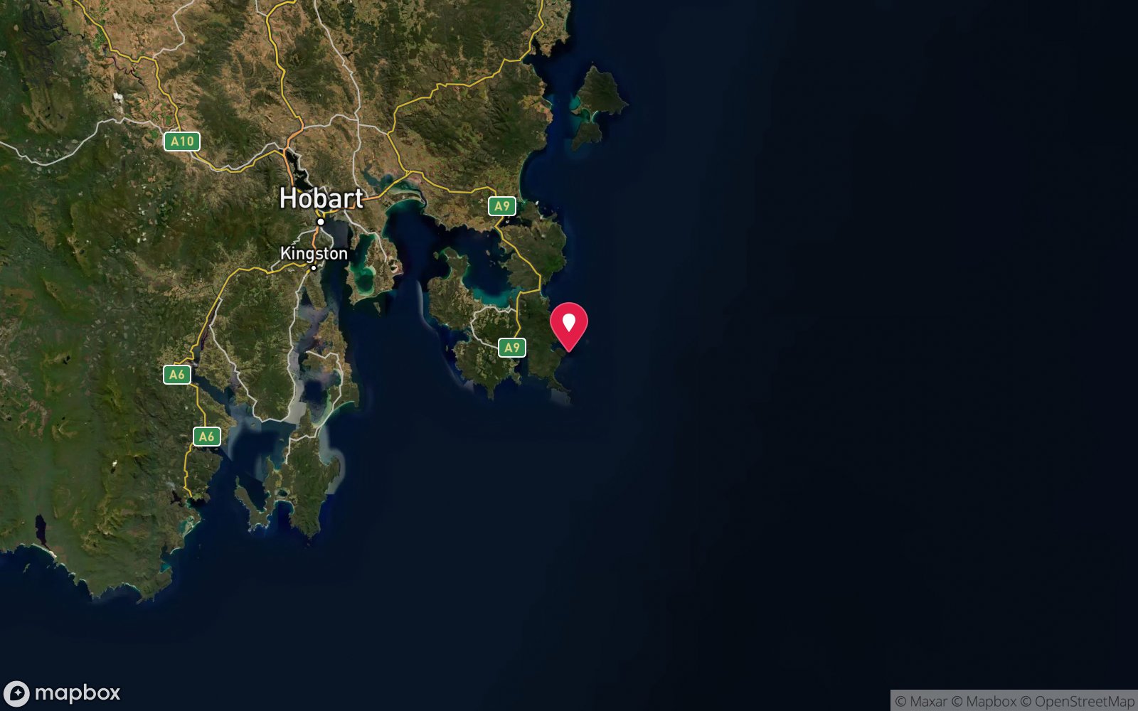
| Position | -43.12300, 147.95700 (approximate) |
| Permit | Tasman National Park – park entry pass required. Historic wreck – do not remove material. |
| Nearest chamber | Royal Hobart Hospital Hyperbaric Medicine Unit (Hobart CBD); DAN emergency hotline 1800 088 200 |
| Emergency | 000 · DAN Asia-Pacific diving emergency 1800 088 200 |
William Pitt Wreck (Canoe Bay)
Also known as SS William Pitt, Canoe Bay wreck, Andre Reboucas
Shallow scuttled 1904 dredge breaking the surface in a sheltered bay – a classic snorkel wreck.
Near Fortescue Bay · Tasman Peninsula, Tasmania
- Depth
- 1–4 m
- Minimum level
- Snorkel/Any
- Access
- Shore
- Boat ride
- ~5 min
- Water
- 14-18 °C
- Visibility
- 5-15 m
William Pitt Wreck (Canoe Bay)1–4 m · Snorkel/Any · Shore
Dive factsDepths, conditions, location & safety
Season
Off-peak nowBest months: January, February, March, April, May, December.
Late summer to autumn (February-May) for settled weather and best visibility; diveable year-round between fronts
- Best months
- Now (November)
Dive facts
- Depth
- 1–4 m
- Typical depth
- 3 m
- Certification
- Snorkel/Any
- Difficulty
- Beginner
- Depth tier
- Easy (0–10 m)
- Access
- Shore
- Offshore
- 0.05 km
- Dive centre needed
- No – independently diveable
- Shore / independent
- Yes
- Boat ride
- ~5 min
- Current
- None
- Visibility
- 5-15 m
- Water temp (summer)
- 14-18 °C
- Water temp (winter)
- 10-13 °C
- Water
- Cold Temperate
- Bottom time
- 45 min
- Dive traffic
- Moderate (occasional charters/club dives)
- Night dive
- No
- Snorkel friendly
- Yes
Exposure suit
Drysuit strongly recommended year-round; 7 mm semi-dry or two-piece 7 mm wetsuit with hood and gloves is the minimum in summer
Location
Fortescue Bay – Canoe Bay
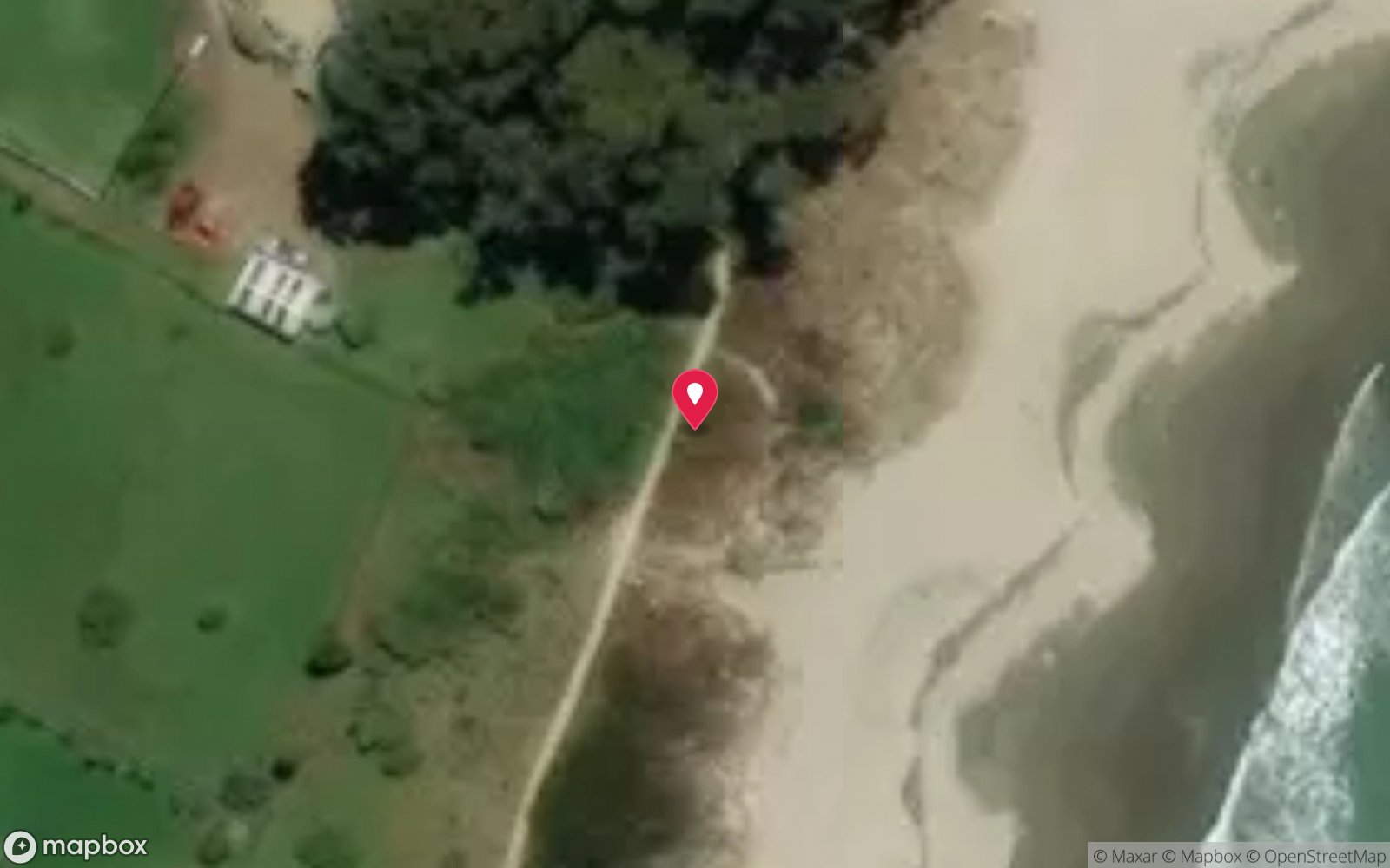
-43.12300, 147.95700
Approximate position — not for navigation.
Open in Google MapsPrimary source: en.wikipedia.orgMarine park & permits
Tasman National Park – park entry pass required. Historic wreck – do not remove material.
Nearest recompression chamber
Royal Hobart Hospital Hyperbaric Medicine Unit (Hobart CBD); DAN emergency hotline 1800 088 200
Diving emergency: call 000, then DAN AP 1800 088 200.
Trip planner
Build a trip around William Pitt Wreck (Canoe Bay) →
A day-by-day plan for Tasman Peninsula with this site locked in.
This guide is a planning aid. Conditions change daily — confirm with a local dive centre and dive within your training. Data & safety notes.
Dive profile
How this site rates
Scores are computed from the recorded data, not opinions. How?
At a glance
William Pitt Wreck (Canoe Bay) is a wreck shore dive you can do independently in Tasman Peninsula, TAS, 1–4 m, suitable for snorkellers and first-time divers, about 5 minutes by boat.
Rated beginner: sheltered, shallow and manageable for a newly certified diver on a normal day, though note cold water.
Why dive here
- Shallow scuttled 1904 dredge breaking the surface in a sheltered bay – a classic snorkel wreck.
- Sunk in 1953 (Steel steam dredge (built Bristol 1904 as Andre Reboucas)).
- Snorkel-friendly, so non-diving companions can join at the surface.
About William Pitt Wreck (Canoe Bay)
The William Pitt was a steam dredge that ended its working life as a breakwater in Canoe Bay, the small inlet on the north-west side of Fortescue Bay. It was launched in Bristol in 1904 as the Andre Reboucas, later worked on the construction of the Hobart Bridge and in Devonport, and was deliberately sunk across the mouth of Canoe Bay on 1 July 1953 to shelter the fishing boats that used the inlet. The hull is so shallow that parts of it break the surface at low tide, and it is best known as a snorkel site, though scuba divers enjoy a slow, shallow poke around it.
The Marine Life Network guide describes a submerged dredge hopper in 2-4 m with anemones and the propeller still visible, and notes cormorants, trumpeter, rock cod and conger eels. Decades underwater have turned the steel into a reef: the plates are covered in weed, sponges and jewel anemones, fish shelter under the hull, and cormorants perch on the exposed structure. It is a photogenic site, especially with the rusting frames rising out of the calm water against the forested hills.
Canoe Bay also has a history as a fish works that operated until the early 1970s, and remnants of the fishing industry can be seen ashore. The wreck is a pleasant excursion for campers at Fortescue Bay, combining a coastal walk with a snorkel, or a short kayak paddle for divers. It suits everyone from children with a mask and snorkel to photographers, and there is no current to contend with.
Wreck details
Steel steam dredge (built Bristol 1904 as Andre Reboucas) · Sunk 1953
Era: post-war. Oldest wrecks · Wartime wrecks · Scuttled warships
Other wrecks of the same era
- Edward Northcote · Max 52 m · Port Phillip Heads
- HMAS Plym (Montebello Islands) · Max 12 m · Pilbara & Dampier
- LVT-4A amphibious tank (Stockton Beach) · Max 33 m · Newcastle & Lake Macquarie
- Olive Cam · Max 9 m · Eden & Green Cape
- Stanvac Barges · Max 30 m · Adelaide Metro
- Stanvac Barges 1 & 2 (small barges) · Max 30 m · Adelaide Metro
Getting there & entry
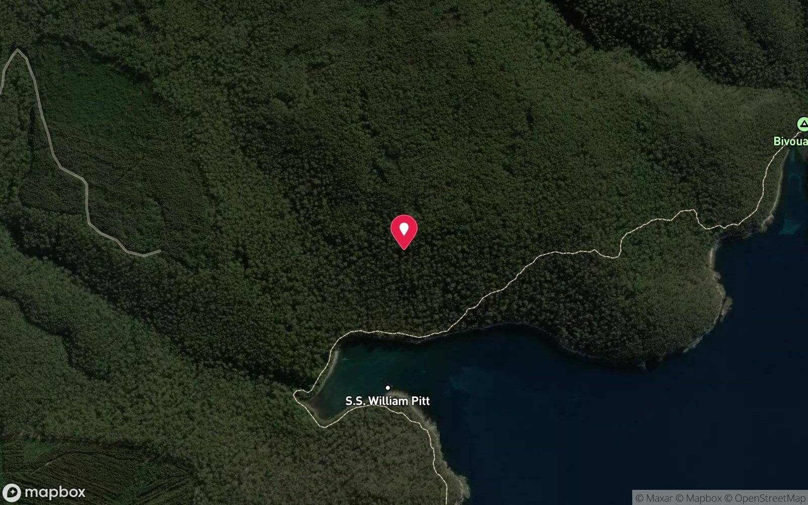
Scuttled dredge lying in shallow water at the mouth of Canoe Bay, a small inlet on the north-west side of Fortescue Bay.
Drive to Fortescue Bay (Arthur Highway to Taranna, then 12 km of gravel on Fortescue Road; park pass required). From the Fortescue Bay day-use area walk the Tasman Coastal Trail north towards Canoe Bay, about 4 km and 1-1.5 hours each way through forest. Carrying dive gear this far is hard work, which is why most people snorkel the wreck; divers usually bring kit in by kayak or small boat from the Fortescue Bay ramp (about 5 minutes).
Entry: Walk-in from the Canoe Bay beach
Facilities: Campground and toilets at Fortescue Bay; campsites at Canoe Bay (walk-in); no fills.
Weather, swell & tides
Canoe Bay is a very sheltered inlet on the north-west side of Fortescue Bay, protected from almost all directions; only a strong easterly pushing swell into Fortescue Bay affects it. Because the wreck is so shallow, the main factor is visibility, which is best on calm, sunny days after a period without easterlies. The site can be snorkelled year-round; low tide exposes more of the structure.
Best season: Late summer to autumn (February-May) for settled weather and best visibility; diveable year-round between fronts
If it's blown out
Sheltered or shore sites within 25 km that often work when William Pitt Wreck (Canoe Bay) doesn't.
- Fortescue Bay · 1 km · Max 20 m
- Eaglehawk Neck Jetty (Pirates Bay) · 13 km · Max 12 m
- Lookout Bluff – The Split · 7 km · Max 9 m
- Frying Pan Point (Mason Cove) · 9 km · Max 4 m
How the dive is usually run
Enter from the beach and swim out to the wreck, which is visible from the surface. Circle the hull, look over the hopper and propeller and inspect the anemone-covered plates, then check the surrounding rocks for conger eels and rock cod before returning.
Marine life
- Jewel anemones
- sponges
- weed
- bastard trumpeter
- rock cod
- conger eels
- wrasse
- leatherjackets
- cormorants
Linked species have their own page listing every site where they are recorded. All marine life →
Training required
Shallow enough for snorkellers and for a first dive under supervision. Any certified diver can dive it.
Courses that help here
- Drysuit Diver – Cold water; locals dive dry for much of the year.
Depth tiers: 0–10 m easy · to 18 m Open Water · 18–30 m Advanced (25 m+ is a deep dive) · 30–40 m Deep specialty · 40 m+ technical. All courses
Hazards & warnings
Sharp, corroded steel; do not enter the hull; long walk carrying gear; remote with no facilities at Canoe Bay.
Dive centres that go here
No dedicated operator trips; visited by snorkellers and divers camping at Fortescue Bay, by kayak and small boat.
Operators recorded for William Pitt Wreck (Canoe Bay)
Eaglehawk Dive Centre
ProfiledEaglehawk Neck · Tasman Peninsula · TAS
The principal operation at Eaglehawk Neck, servicing the Tasman Peninsula's sea caves, walls and deeper wrecks.
eaglehawkdive.com.au · 0417 013 518
Go Dive Tasmania
ListedHobart · Hobart & Derwent · TAS
A Tasmanian business providing training, equipment and service support for cold-water diving.
godivetas.com.au · (03) 6231 9749
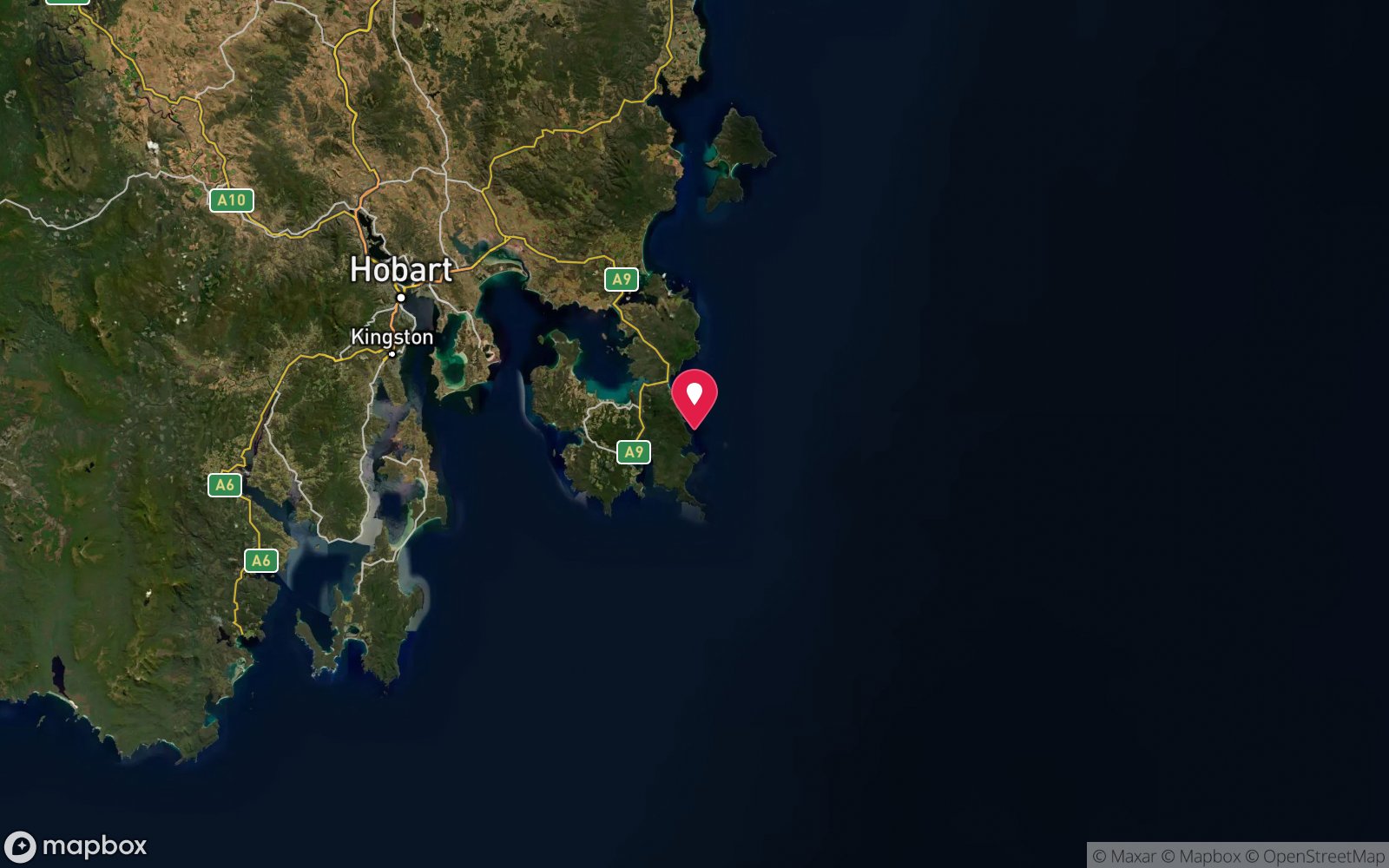
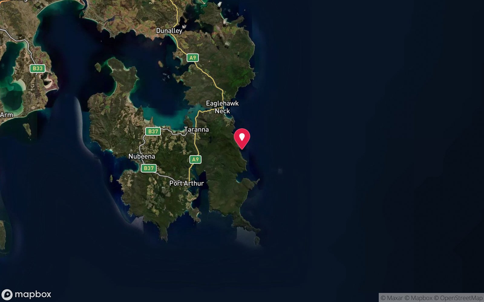
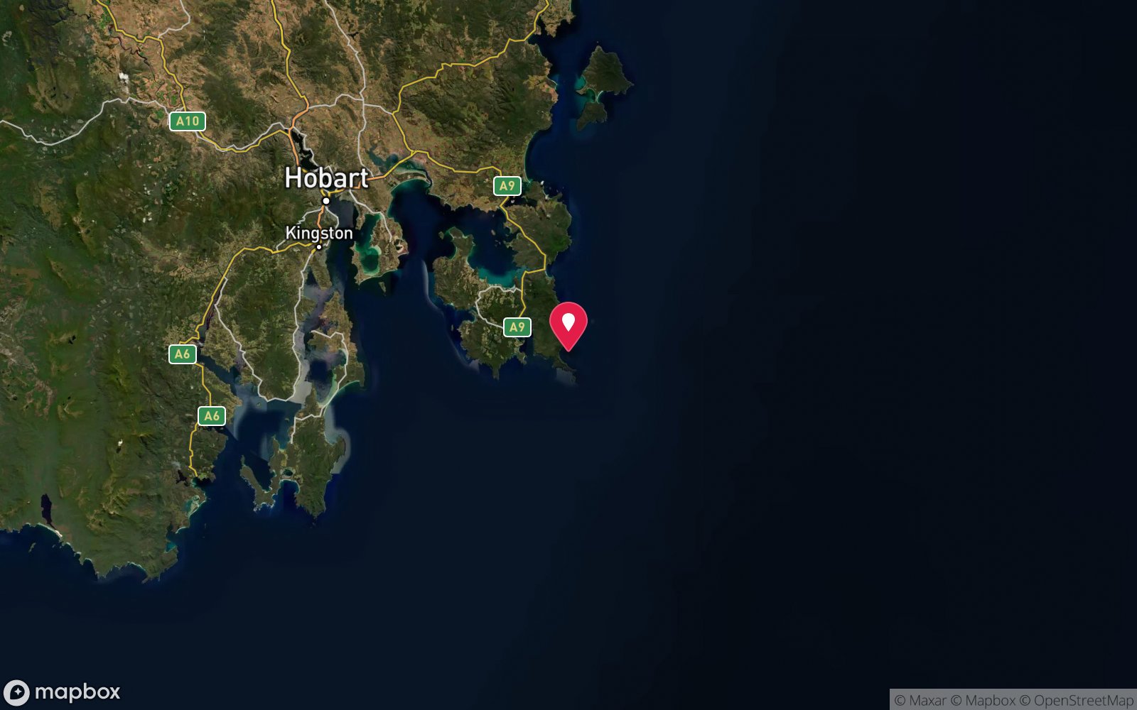
Map
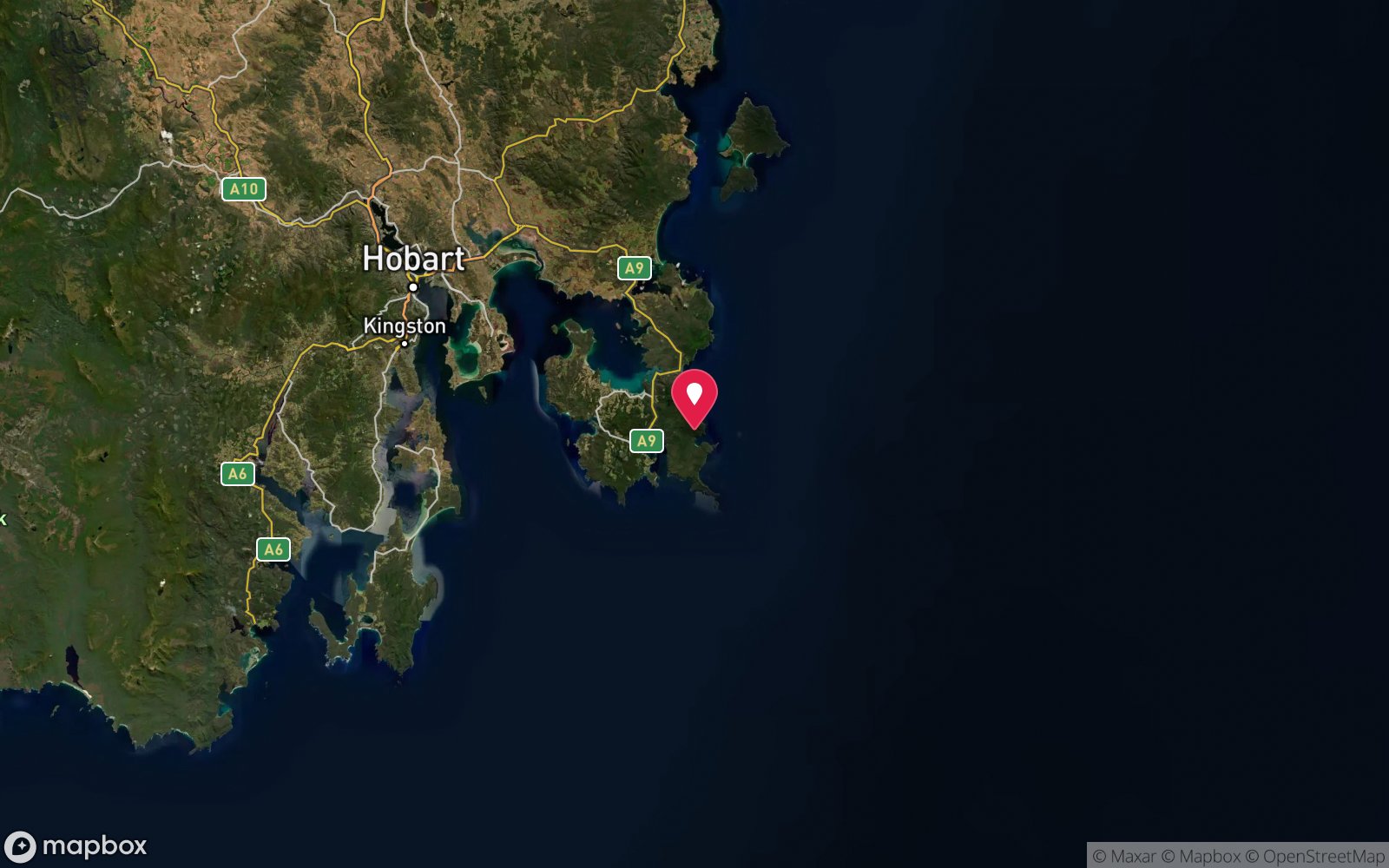
7 pinned sites. Pins marked approximate on their pages show the general area only; not for navigation.
Satellite views
William Pitt Wreck (Canoe Bay): frequently asked questions
How deep is William Pitt Wreck (Canoe Bay)?
William Pitt Wreck (Canoe Bay) reaches a maximum depth of 4 m, with the shallowest part at about 1 m; most of the dive is spent around 3 m.
What certification do I need to dive William Pitt Wreck (Canoe Bay)?
No certification is needed to snorkel it, and it suits introductory dives. Rated beginner: sheltered, shallow and manageable for a newly certified diver on a normal day, though note cold water.
Can I shore dive William Pitt Wreck (Canoe Bay)?
Yes. William Pitt Wreck (Canoe Bay) is a shore dive that can be done independently: walk-in from the Canoe Bay beach.
When is the best time to dive William Pitt Wreck (Canoe Bay)?
Late summer to autumn (February-May) for settled weather and best visibility; diveable year-round between fronts.
What marine life will I see at William Pitt Wreck (Canoe Bay)?
Regularly recorded: Jewel anemones, sponges, weed, bastard trumpeter, rock cod, conger eels, wrasse, leatherjackets, cormorants.
What wetsuit do I need at William Pitt Wreck (Canoe Bay)?
Drysuit strongly recommended year-round; 7 mm semi-dry or two-piece 7 mm wetsuit with hood and gloves is the minimum in summer.
How cold is the water at William Pitt Wreck (Canoe Bay)?
Typically 14-18 °C in summer and 10-13 °C in winter.
What are the main hazards at William Pitt Wreck (Canoe Bay)?
Sharp, corroded steel; do not enter the hull; long walk carrying gear; remote with no facilities at Canoe Bay. See the hazards section above for the full list.
Where is the nearest recompression chamber to William Pitt Wreck (Canoe Bay)?
Royal Hobart Hospital Hyperbaric Medicine Unit (Hobart CBD); DAN emergency hotline 1800 088 200. In an emergency call 000, then DAN Asia-Pacific on 1800 088 200.
Diving in Tasman Peninsula
The Tasman Peninsula has the tallest sea cliffs in the southern hemisphere, and beneath them some of Australia's most dramatic diving: the Cathedral Cave system and Waterfall Bay's caves and wall, the Sisters and Hippolyte Rocks with their fur seals, the Thumbs, and the remnant giant kelp at Fortescue Bay and Munro Bight. Deep sites like the Patersons Arch and the Nord wreck (40 m) reward experienced divers.
Getting there: Ninety minutes from Hobart. A dedicated dive operator at Eaglehawk Neck runs boat dives; Fortescue Bay and Pirates Bay have shore access.
Sources
- en.wikipedia.org/wiki/Fortescue_Bay
- marinelife.org.au/?page_id=97
- parks.tas.gov.au/explore-our-parks/tasman-national-park/canoe-bay
Data confidence: High. Last updated September 2026. Know this site better? How to send a correction
Nearby dive sites
More wrecks in Tasmania
Explore more
This region