Dive slate · divesites.com.au · printed 8 Nov 2026
Fortescue Bay
Tasman Peninsula, Tasmania · near Fortescue Bay
| Depth | 3–20 m |
|---|---|
| Minimum level | Advanced Open Water |
| Difficulty | Beginner |
| Access | Shore or Boat |
| Entry | Walk-in from the beach or beside the boat ramp |
| Current | None |
| Visibility | 8-20 m |
| Water | summer 14-18 °C, winter 10-13 °C |
| Suit | Drysuit strongly recommended year-round; 7 mm semi-dry or two-piece 7 mm wetsuit with hood and gloves is the minimum in summer |
| Best season | Late summer to autumn (February-May) for settled weather and best visibility; diveable year-round between fronts |
| Bottom time | 60 min |
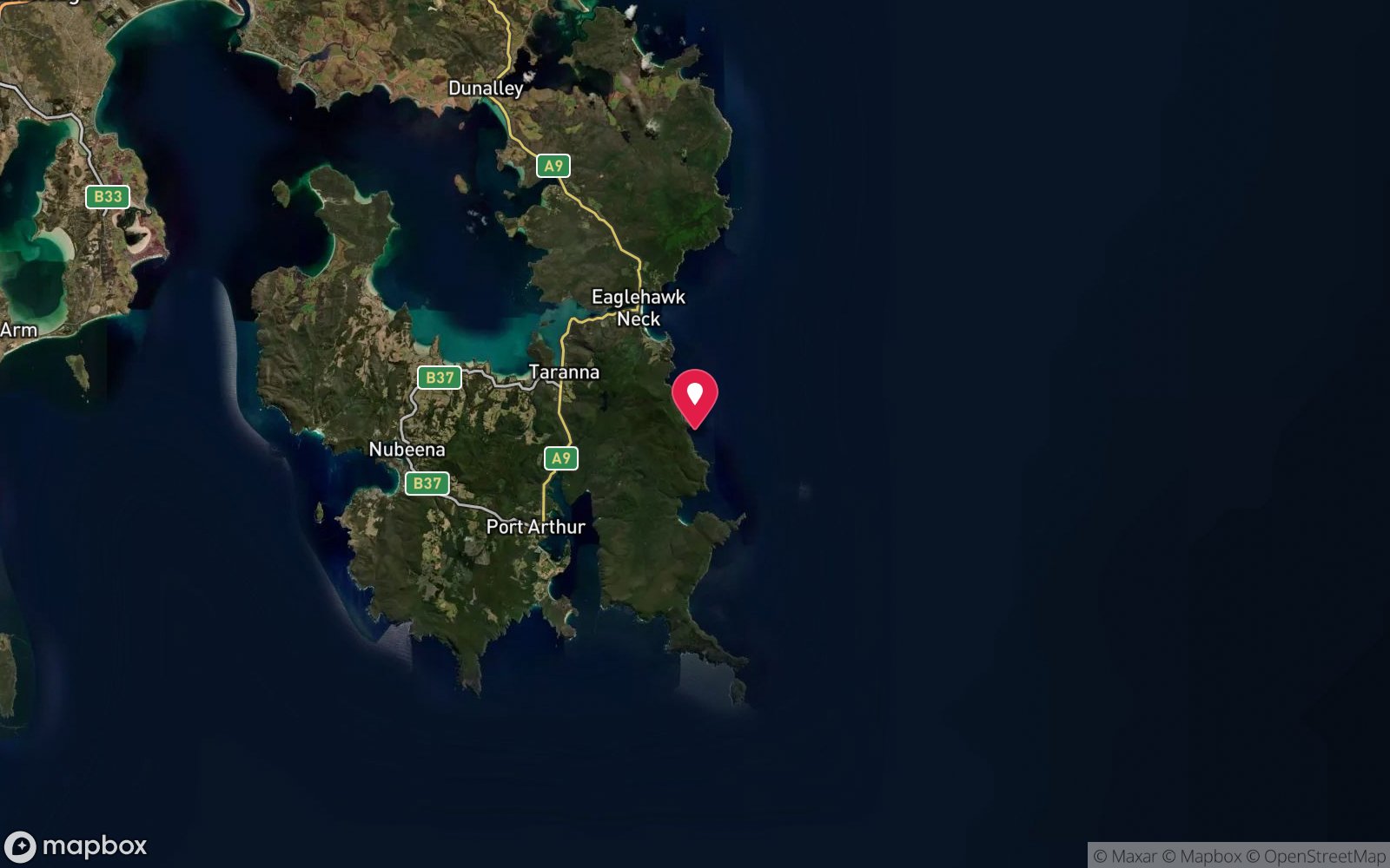
| Position | -43.13100, 147.97000 (approximate) |
| Permit | Tasman National Park – park entry pass required for vehicles. Waterfall–Fortescue waters: no diver permit required. |
| Nearest chamber | Royal Hobart Hospital Hyperbaric Medicine Unit (Hobart CBD); DAN emergency hotline 1800 088 200 |
| Emergency | 000 · DAN Asia-Pacific diving emergency 1800 088 200 |
Fortescue Bay
Also known as Fortescue Bay shore dive, Fortescue Bay giant kelp forest, Fortesque Bay
Easy shore access to one of the last giant kelp forests on the Tasman Peninsula, with camping on the beach.
Near Fortescue Bay · Tasman Peninsula, Tasmania
- Depth
- 3–20 m
- Minimum level
- Advanced Open Water
- Access
- Shore or Boat
- Boat ride
- Shore entry
- Water
- 14-18 °C
- Visibility
- 8-20 m
Fortescue Bay3–20 m · Advanced Open Water · Shore
Dive factsDepths, conditions, location & safety
Season
Off-peak nowBest months: January, February, March, April, May, December.
Late summer to autumn (February-May) for settled weather and best visibility; diveable year-round between fronts
- Best months
- Now (November)
Dive facts
- Depth
- 3–20 m
- Typical depth
- 10 m
- Certification
- Advanced Open Water
- Difficulty
- Beginner
- Depth tier
- Advanced Open Water (18–30 m)
- Access
- Shore or Boat
- Dive centre needed
- No – independently diveable
- Shore / independent
- Yes
- Current
- None
- Visibility
- 8-20 m
- Water temp (summer)
- 14-18 °C
- Water temp (winter)
- 10-13 °C
- Water
- Cold Temperate
- Bottom time
- 60 min
- Dive traffic
- Popular (weekly charters)
- Night dive
- Yes
- Snorkel friendly
- Yes
Exposure suit
Drysuit strongly recommended year-round; 7 mm semi-dry or two-piece 7 mm wetsuit with hood and gloves is the minimum in summer
Location
Fortescue Bay
-43.13100, 147.97000
Approximate position — not for navigation.
Open in Google MapsPrimary source: dan.orgMarine park & permits
Tasman National Park – park entry pass required for vehicles. Waterfall–Fortescue waters: no diver permit required.
Nearest recompression chamber
Royal Hobart Hospital Hyperbaric Medicine Unit (Hobart CBD); DAN emergency hotline 1800 088 200
Diving emergency: call 000, then DAN AP 1800 088 200.
Trip planner
Build a trip around Fortescue Bay →
A day-by-day plan for Tasman Peninsula with this site locked in.
This guide is a planning aid. Conditions change daily — confirm with a local dive centre and dive within your training. Data & safety notes.
Dive profile
How this site rates
Scores are computed from the recorded data, not opinions. How?
At a glance
Fortescue Bay is a kelp forest shore dive you can do independently in Tasman Peninsula, TAS, 3–20 m, suited to Advanced Open Water divers.
Rated beginner: sheltered, shallow and manageable for a newly certified diver on a normal day, though note depth beyond 18 m and cold water.
Why dive here
- Easy shore access to one of the last giant kelp forests on the Tasman Peninsula, with camping on the beach.
- Commonly dived at night, when octopus, cuttlefish and crustaceans are out.
- Snorkel-friendly, so non-diving companions can join at the surface.
- Visibility often reaches 8-20 m.
Conditions to avoid
- Strong southerly or south-east swell and wind
- Afternoon north-easterlies
About Fortescue Bay
Fortescue Bay is a broad, sandy bay inside Tasman National Park, ringed by forest and campsites and sheltered by Cape Hauy. It is the easiest shore diving on the Tasman Peninsula, and it holds one of the few remaining stands of giant kelp on Tasmania's east coast. The Divers Alert Network's Tasmania feature describes the Fortescue Bay kelp forest at about 12 m as the last remaining refugium on the peninsula after a 90-95 per cent loss of these forests, while dive-travel writers describe kelp rising from white sand to heights of up to 15 m.
The Marine Life Network guide records Macrocystis columns interspersed with sand and rock patches near the boat ramp in 5-20 m. Swimming among the stipes, with light filtering through the canopy, is the reason to come. The forest shelters Johnston's weedfish, banded stingarees, Australian swellsharks, short-tail stingrays, long-snout boarfish, weedy seadragons and draughtboard sharks, and fur seals sometimes visit.
The rocky reefs along both shores add wrasse, leatherjackets, magpie morwong and rock lobster, and the sand is home to rays and flathead. Go Dive Tasmania lists the bay at 3-12 m for all certified divers, noting clear water and abundant fish. The bay has an industrial past – timber milling and a fish works at Canoe Bay operated into the 1970s – and the wreck of the dredge William Pitt, scuttled as a breakwater in 1953, lies in the mouth of Canoe Bay a short walk away.
With camping on the beach, Fortescue Bay makes an excellent base for a diving weekend: shore dives at dawn and dusk, and boat dives to the Hippolytes and the Nord from the ramp. Because the kelp is fragile and slow to recover, divers should avoid pulling on stipes and keep fins clear of holdfasts.
Getting there & entry
Sheltered bay in Tasman National Park about 10 km east of Port Arthur; shore diving off the boat ramp area and along both shores, with remnant giant kelp.
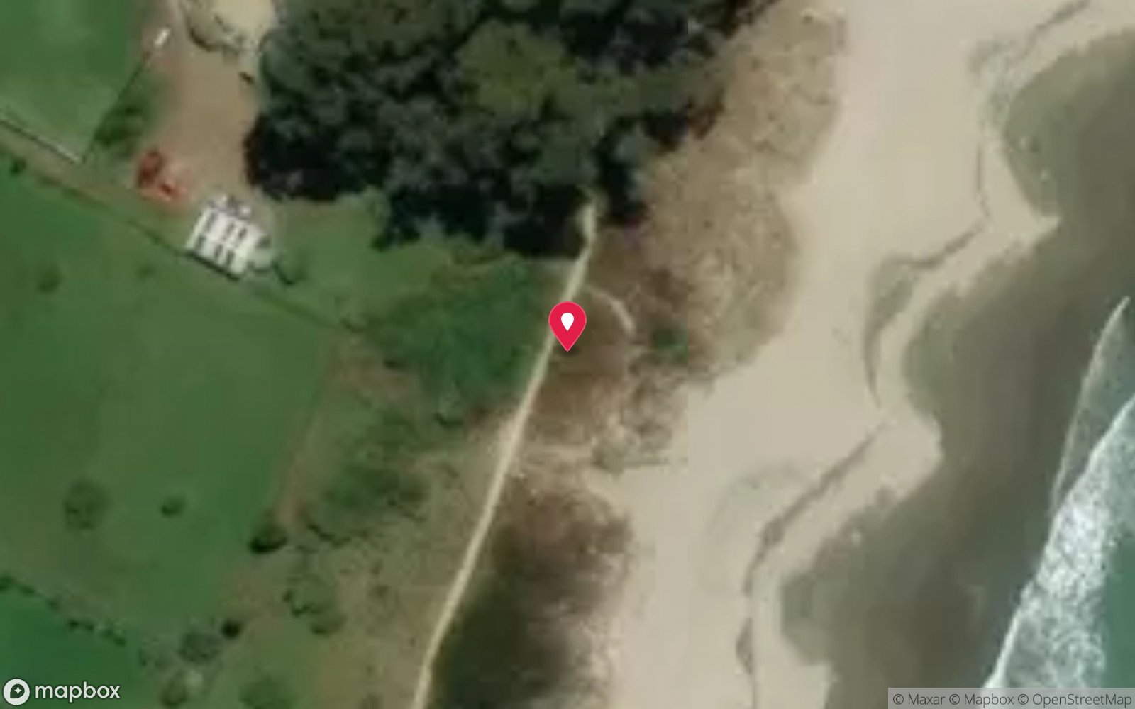
From Hobart take the Arthur Highway to Taranna, then turn onto Fortescue Road just south of the town and follow 12 km of gravel road to the bay (about 1 hour 30 minutes from Hobart). A Tasmanian national park entry pass is required. There is a camping ground, day-use area and boat ramp at the northern end of the beach near the track to Cape Hauy; park near the ramp or beach and walk a short distance to the water.
The kelp forest is described as close to the boat ramp. Boats can also reach the bay from Pirates Bay in about 30 minutes.
Entry: Walk-in from the beach or beside the boat ramp
Facilities: Campground (fees, bookings), toilets, cold showers, gas barbecues, boat ramp, day-use area; no shop or fills – bring everything. Nearest fills at Eaglehawk Dive Centre.
Weather, swell & tides
Fortescue Bay opens to the east-north-east but is well sheltered by Cape Hauy to the south and the coast to the north, making it one of the most reliably calm places on the peninsula. Strong easterly or north-easterly winds push swell into the bay and cloud the water; southerly groundswell occasionally wraps in. Westerly and southerly winds leave it flat.
Marine heatwaves in late summer stress the giant kelp and may thin the canopy. Heavy rain has little effect beyond a slight tannin layer near the creek at the southern end.
Best season: Late summer to autumn (February-May) for settled weather and best visibility; diveable year-round between fronts
If it's blown out
Sheltered or shore sites within 25 km that often work when Fortescue Bay doesn't.
- Eaglehawk Neck Jetty (Pirates Bay) · 14 km · Max 12 m
- William Pitt Wreck (Canoe Bay) · 1 km · Max 4 m
- Lookout Bluff – The Split · 8 km · Max 9 m
- Frying Pan Point (Mason Cove) · 10 km · Max 4 m
How the dive is usually run
Enter near the boat ramp, surface swim or descend along the rocky northern shore to the kelp at 8-15 m, and explore the stipes and sand patches. Turn at half air and return along the reef edge, keeping well clear of the ramp.
Marine life
- Giant kelp (Macrocystis pyrifera)
- Johnston's weedfish
- banded stingaree
- Australian swellshark
- short-tail stingray
- long-snout boarfish
- weedy seadragon →
- draughtboard shark
- wrasse
- leatherjackets
- magpie morwong
- rock lobster
- flathead
- fur seals →
Linked species have their own page listing every site where they are recorded. All marine life →
Training required
Beyond 18 m an Advanced certification (which includes a deep dive to 30 m) is the accepted minimum. Anything past 25 m is a deep dive in practice.
Open Water divers can dive the shallower section (typical depth 10 m); the full site to 20 m needs Advanced Open Water. Operators often quote Open Water.
Operators' own listing: Open Water.
Courses that help here
- Night Diver – Commonly dived at night.
- Drysuit Diver – Cold water; locals dive dry for much of the year.
Depth tiers: 0–10 m easy · to 18 m Open Water · 18–30 m Advanced (25 m+ is a deep dive) · 30–40 m Deep specialty · 40 m+ technical. All courses
Hazards & warnings
Boat ramp traffic – stay away from the ramp and fly a flag; kelp entanglement; remote – no air fills (nearest at Eaglehawk Neck, about 40 minutes); national park pass required; gravel road.
Dive centres that go here
Go Dive Tasmania – Fortescue Bay listed as a shore site (3-12 m, all certified divers); Eaglehawk Dive Centre – giant kelp dives and restoration internship work in the area; club weekends from Hobart.
Operators recorded for Fortescue Bay
Eaglehawk Dive Centre
ProfiledEaglehawk Neck · Tasman Peninsula · TAS
The principal operation at Eaglehawk Neck, servicing the Tasman Peninsula's sea caves, walls and deeper wrecks.
eaglehawkdive.com.au · 0417 013 518
Go Dive Tasmania
ListedHobart · Hobart & Derwent · TAS
A Tasmanian business providing training, equipment and service support for cold-water diving.
godivetas.com.au · (03) 6231 9749
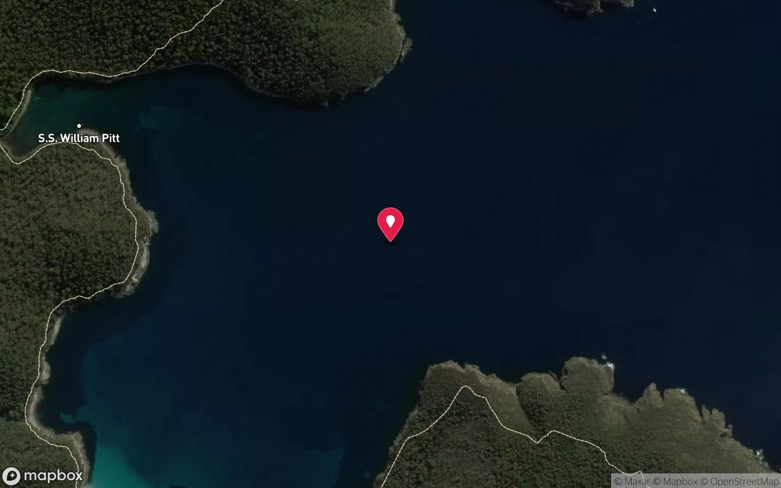
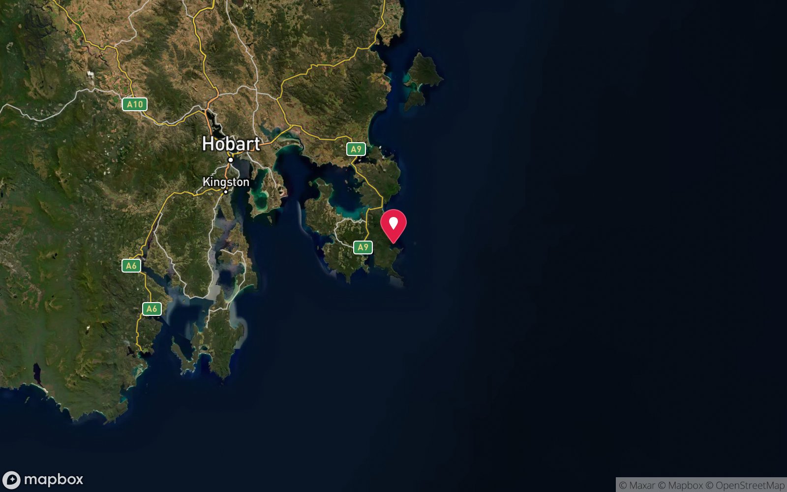
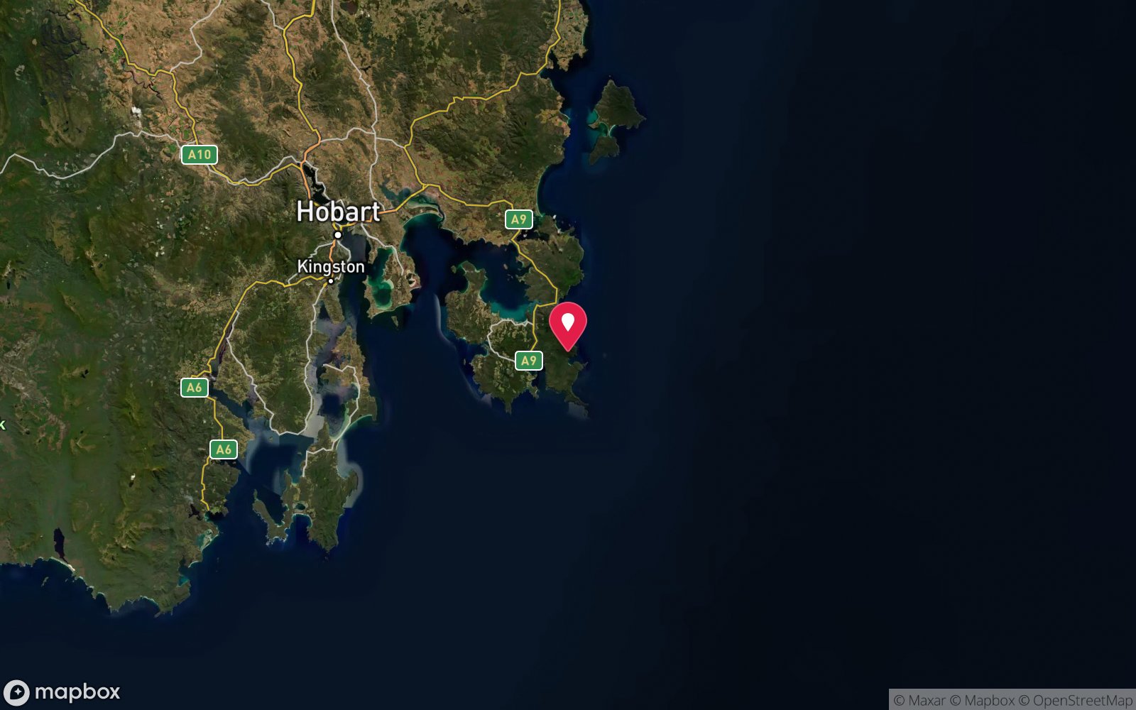
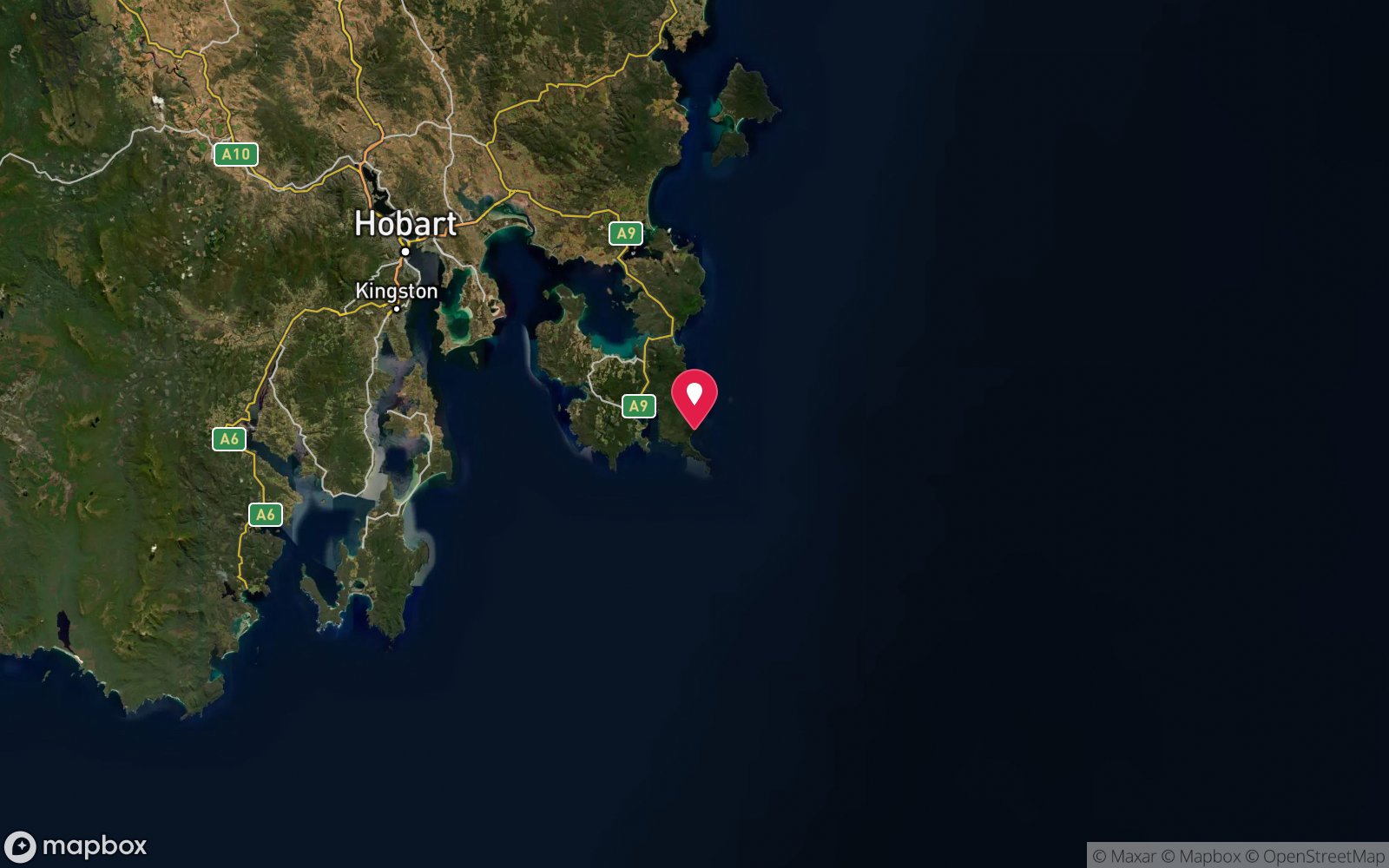
Map
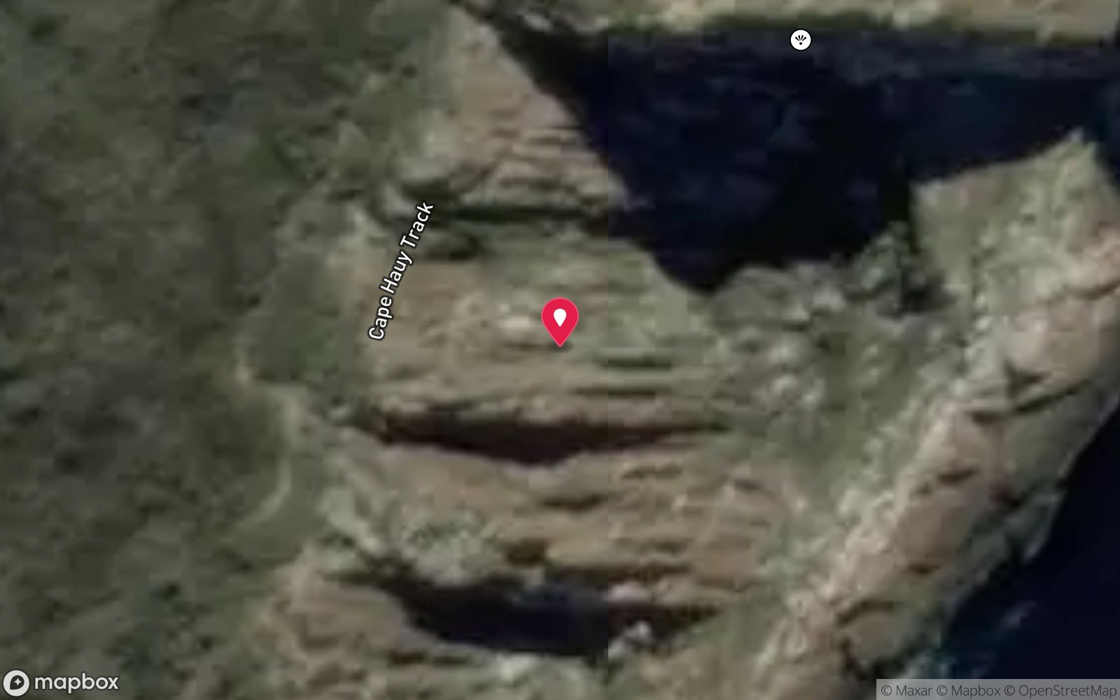
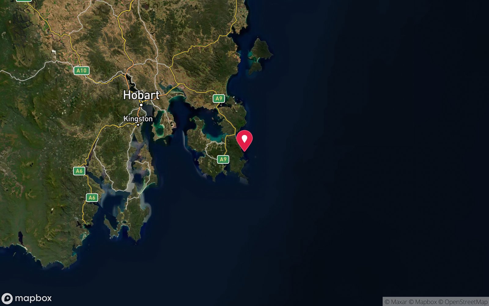
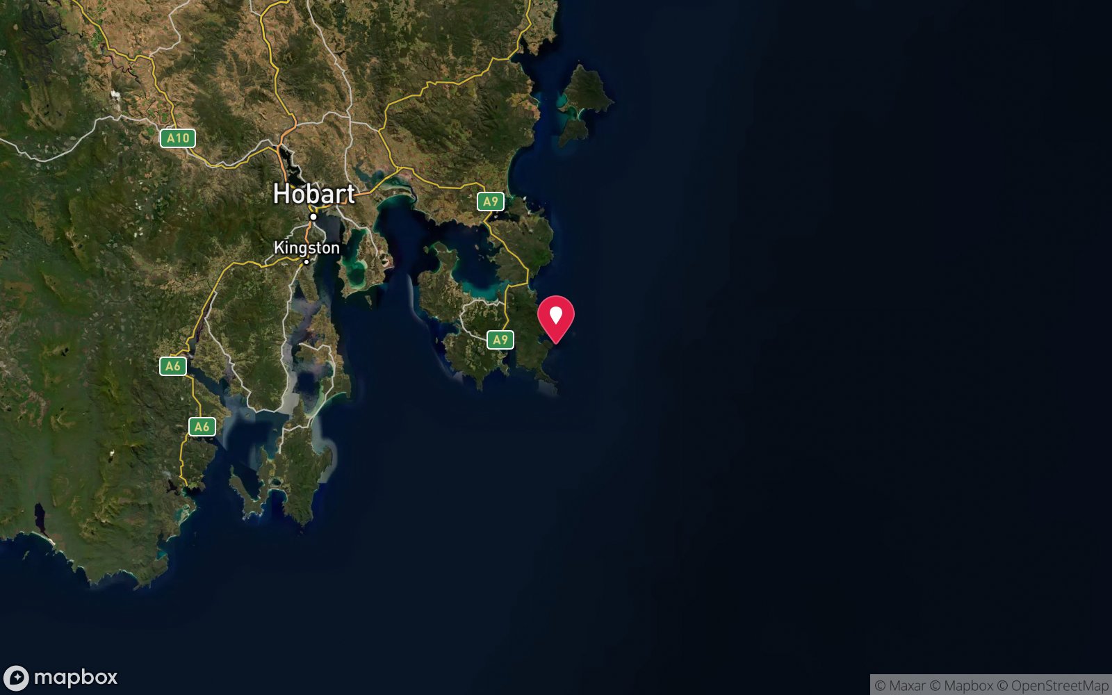
7 pinned sites. Pins marked approximate on their pages show the general area only; not for navigation.
Satellite views
Fortescue Bay: frequently asked questions
How deep is Fortescue Bay?
Fortescue Bay reaches a maximum depth of 20 m, with the shallowest part at about 3 m; most of the dive is spent around 10 m.
What certification do I need to dive Fortescue Bay?
Advanced Open Water is the recommended minimum. Open Water divers can dive the shallower section (typical depth 10 m); the full site to 20 m needs Advanced Open Water. Operators often quote Open Water. Rated beginner: sheltered, shallow and manageable for a newly certified diver on a normal day, though note depth beyond 18 m and cold water.
Can I shore dive Fortescue Bay?
Yes. Fortescue Bay is a shore dive that can be done independently: walk-in from the beach or beside the boat ramp.
When is the best time to dive Fortescue Bay?
Late summer to autumn (February-May) for settled weather and best visibility; diveable year-round between fronts.
What marine life will I see at Fortescue Bay?
Regularly recorded: Giant kelp (Macrocystis pyrifera), Johnston's weedfish, banded stingaree, Australian swellshark, short-tail stingray, long-snout boarfish, weedy seadragon, draughtboard shark, wrasse, leatherjackets, magpie morwong, rock lobster and more.
What wetsuit do I need at Fortescue Bay?
Drysuit strongly recommended year-round; 7 mm semi-dry or two-piece 7 mm wetsuit with hood and gloves is the minimum in summer.
How cold is the water at Fortescue Bay?
Typically 14-18 °C in summer and 10-13 °C in winter.
What are the main hazards at Fortescue Bay?
Boat ramp traffic – stay away from the ramp and fly a flag; kelp entanglement; remote – no air fills (nearest at Eaglehawk Neck, about 40 minutes); national park pass required; gravel road. See the hazards section above for the full list.
Can you night dive Fortescue Bay?
Yes, Fortescue Bay is commonly dived at night.
Diving in Tasman Peninsula
The Tasman Peninsula has the tallest sea cliffs in the southern hemisphere, and beneath them some of Australia's most dramatic diving: the Cathedral Cave system and Waterfall Bay's caves and wall, the Sisters and Hippolyte Rocks with their fur seals, the Thumbs, and the remnant giant kelp at Fortescue Bay and Munro Bight. Deep sites like the Patersons Arch and the Nord wreck (40 m) reward experienced divers.
Getting there: Ninety minutes from Hobart. A dedicated dive operator at Eaglehawk Neck runs boat dives; Fortescue Bay and Pirates Bay have shore access.
Sources
- dan.org/alert-diver/article/tasmania
- goldcoastdiveadventures.com.au/tasmania-scuba-diving-sites
- godivetas.com.au/pages/dive-sites
- marinelife.org.au/?page_id=97
- en.wikipedia.org/wiki/Fortescue_Bay
- abc.net.au/news/2024-03-26/back-roads-tasman-peninsula-giant-kelp-forest-restoration/103560140
Data confidence: High. Last updated September 2026. Know this site better? How to send a correction
Nearby dive sites
More shore dives in Tasmania
Explore more
This region
Similar dives