Dive slate · divesites.com.au · printed 7 Nov 2026
Tasman Arch & Blowhole Reef
Tasman Peninsula, Tasmania · near Eaglehawk Neck
| Depth | 3–20 m |
|---|---|
| Minimum level | Advanced Open Water |
| Difficulty | Intermediate |
| Access | Shore or Boat |
| Entry | Rock entry from the sea terrace/gravel inlet beside the Blowhole, or from a boat |
| Current | None |
| Visibility | 8-20 m |
| Water | summer 14-18 °C, winter 10-13 °C |
| Suit | Drysuit strongly recommended year-round; 7 mm semi-dry or two-piece 7 mm wetsuit with hood and gloves is the minimum in summer |
| Best season | Late summer to autumn (February-May) for settled weather and best visibility; diveable year-round between fronts |
| Bottom time | 45 min |
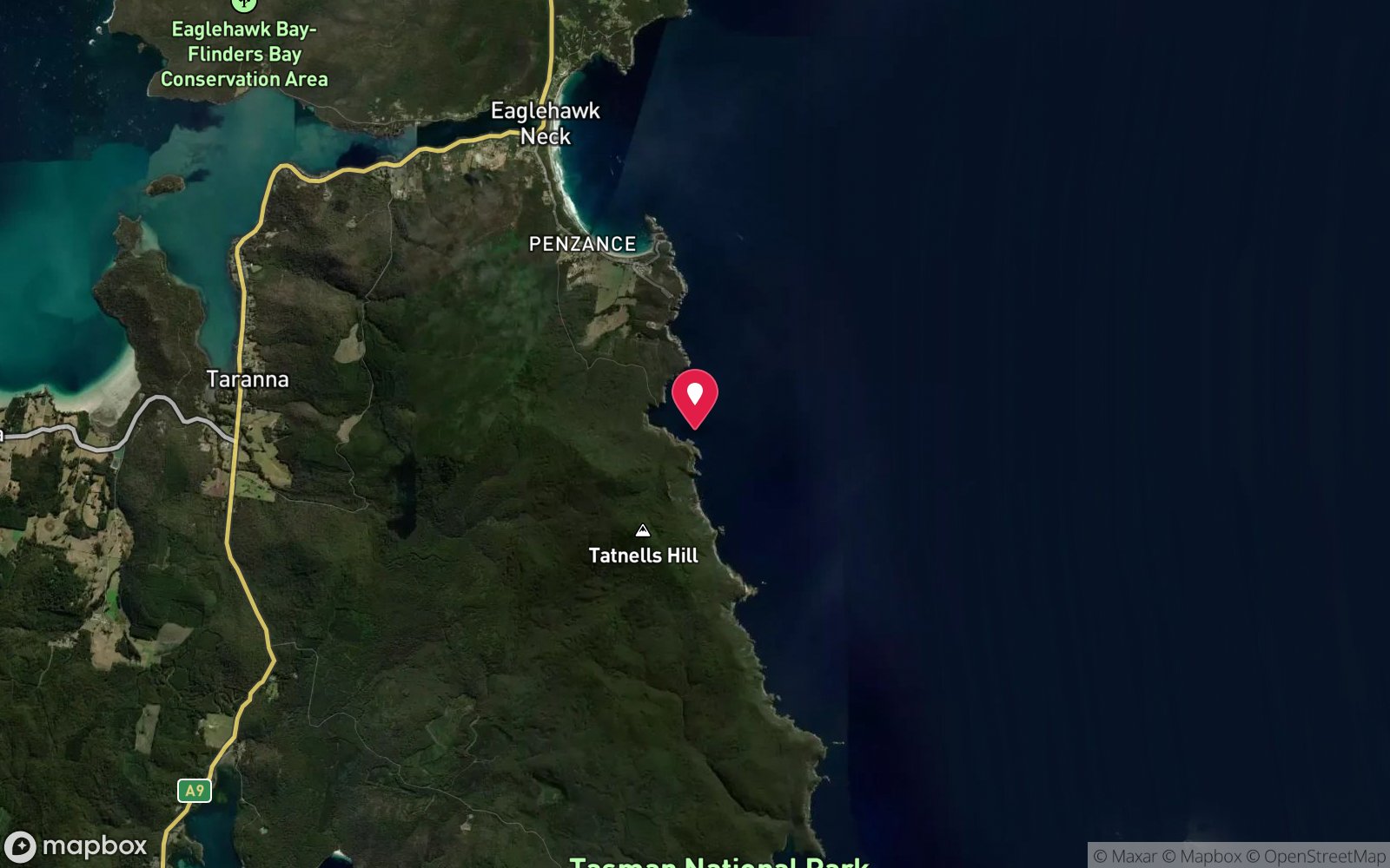
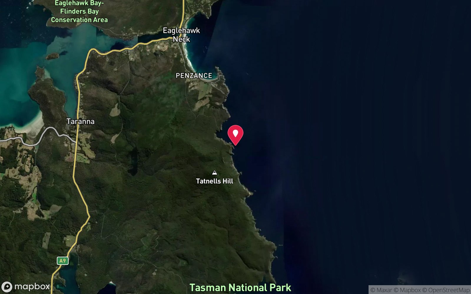
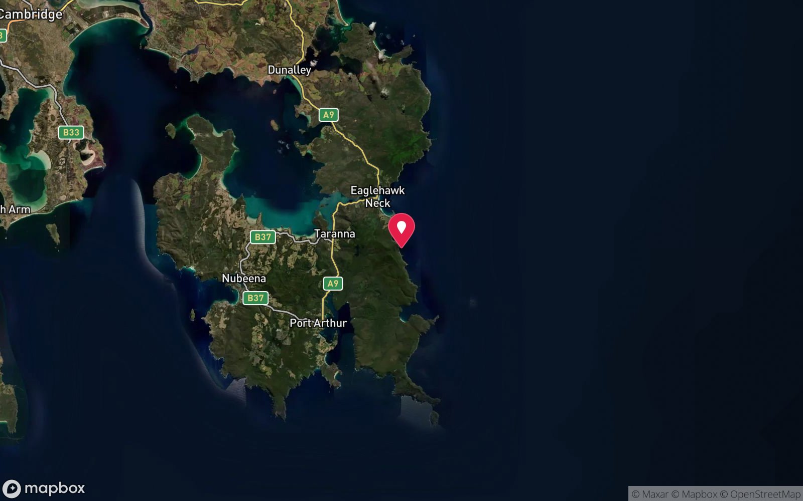
| Position | -43.04100, 147.94700 (approximate) |
| Permit | Adjacent to Tasman National Park (Tasman Arch State Reserve area); no permit required. |
| Nearest chamber | Royal Hobart Hospital Hyperbaric Medicine Unit (Hobart CBD); DAN emergency hotline 1800 088 200 |
| Emergency | 000 · DAN Asia-Pacific diving emergency 1800 088 200 |
Tasman Arch & Blowhole Reef
Also known as Tasman Arch, Devils Kitchen, Blowhole, Blowhole Area
Shore diving on the underwater continuation of the Blowhole–Tasman Arch–Devils Kitchen coastline.
Near Eaglehawk Neck · Tasman Peninsula, Tasmania
- Depth
- 3–20 m
- Minimum level
- Advanced Open Water
- Access
- Shore or Boat
- Boat ride
- ~5 min
- Water
- 14-18 °C
- Visibility
- 8-20 m
Tasman Arch & Blowhole Reef3–20 m · Advanced Open Water · Shore
Dive factsDepths, conditions, location & safety
Season
Off-peak nowBest months: January, February, March, April, May, December.
Late summer to autumn (February-May) for settled weather and best visibility; diveable year-round between fronts
- Best months
- Now (November)
Dive facts
- Depth
- 3–20 m
- Typical depth
- 12 m
- Certification
- Advanced Open Water
- Difficulty
- Intermediate
- Depth tier
- Advanced Open Water (18–30 m)
- Access
- Shore or Boat
- Offshore
- 0.05 km
- Dive centre needed
- Recommended
- Shore / independent
- Possible (experienced only)
- Boat ride
- ~5 min
- Current
- None
- Visibility
- 8-20 m
- Water temp (summer)
- 14-18 °C
- Water temp (winter)
- 10-13 °C
- Water
- Cold Temperate
- Bottom time
- 45 min
- Dive traffic
- Rarely dived (private boat/club only)
- Night dive
- No
- Snorkel friendly
- Partial
Exposure suit
Drysuit strongly recommended year-round; 7 mm semi-dry or two-piece 7 mm wetsuit with hood and gloves is the minimum in summer
Location
Eaglehawk Neck – Doo Town
-43.04100, 147.94700
Approximate position — not for navigation.
Open in Google MapsPrimary source: marinelife.org.auMarine park & permits
Adjacent to Tasman National Park (Tasman Arch State Reserve area); no permit required.
Nearest recompression chamber
Royal Hobart Hospital Hyperbaric Medicine Unit (Hobart CBD); DAN emergency hotline 1800 088 200
Diving emergency: call 000, then DAN AP 1800 088 200.
Trip planner
Build a trip around Tasman Arch & Blowhole Reef →
A day-by-day plan for Tasman Peninsula with this site locked in.
This guide is a planning aid. Conditions change daily — confirm with a local dive centre and dive within your training. Data & safety notes.
Dive profile
How this site rates
Scores are computed from the recorded data, not opinions. How?
At a glance
Tasman Arch & Blowhole Reef is a shore / rock platform shore dive for experienced divers in Tasman Peninsula, TAS, 3–20 m, suited to Advanced Open Water divers, about 5 minutes by boat.
Rated intermediate because of depth beyond 18 m, surge on the entry or in the shallows, cold water.
Why dive here
- Shore diving on the underwater continuation of the Blowhole–Tasman Arch–Devils Kitchen coastline.
- Rarely dived: expect to have the site to yourself, and plan your own logistics.
- Visibility often reaches 8-20 m.
Conditions to avoid
- Strong southerly or south-east swell and wind
- Afternoon north-easterlies
About Tasman Arch & Blowhole Reef
The coastline between Eaglehawk Neck and Waterfall Bay is one of Tasmania's best-known geological showpieces. At Doo Town the sea has drilled a blowhole through a cave roof, and a short distance south Tasman Arch and the Devils Kitchen chasm show later stages of the same process, where caves collapse into arches and then into open chasms. The reef off the Blowhole continues this story underwater with gutters, ledges and boulders on a gently sloping sea terrace.
The Marine Life Network guide lists the Blowhole Area at 15-20 m, with shore entry from the sea terrace and a gravel inlet, and a seaweed garden on the reef. Kelp and brown algae dominate the shallows, giving way to rock faces with sponges and small invertebrates deeper down. Wrasse, leatherjackets, magpie morwong and bastard trumpeter are common, rock lobsters shelter in the cracks, and weedy seadragons may be found along the weed edge.
It is not a regular charter site, which means it is quiet; the operators concentrate on Waterfall Bay a few hundred metres further south, where the invertebrate walls are more spectacular. The site's value is as a shore option for experienced independent divers staying at Eaglehawk Neck or Doo Town who want to dive from the car on a flat day. It requires careful judgment: the rock platform is exposed and the Blowhole's name is a warning about what swell does here.
Visitors who simply want to see the landforms can walk the short tracks between the Blowhole, Tasman Arch and Devils Kitchen, then dive the same geology in comfort from the dive centre boat.
Getting there & entry
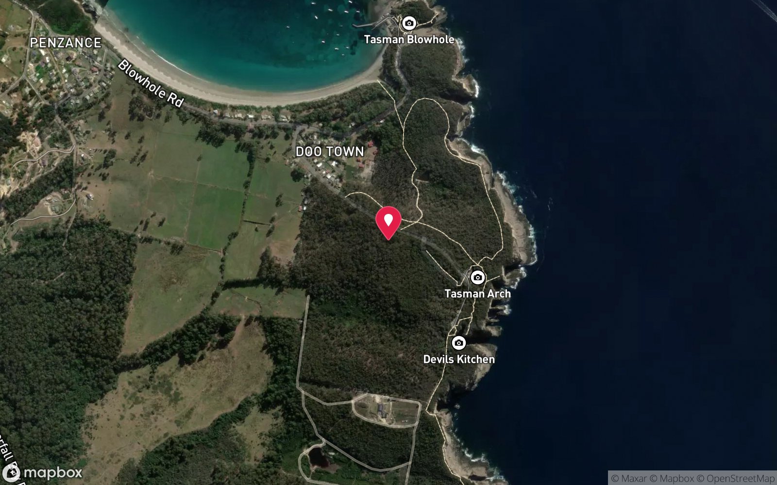
Reef off the sea terrace beside the Blowhole at Doo Town, just south of Eaglehawk Neck, near the Tasman Arch and Devils Kitchen landforms.
From Eaglehawk Neck turn off the Arthur Highway onto Blowhole Road and follow it about 1.5 km to the Blowhole car park at Doo Town (toilets, food van in season). The Marine Life Network guide describes entry from the sea terrace and a gravel inlet beside the Blowhole; carry gear across the rock platform (a short walk) and pick the most sheltered gutter. Tasman Arch and Devils Kitchen are a further few hundred metres along Tasman Arch Road but have no practical shore access.
Boats from Pirates Bay reach the area in about 5 minutes.
Entry: Rock entry from the sea terrace/gravel inlet beside the Blowhole, or from a boat
Facilities: Blowhole car park with toilets; Tasman Arch car park nearby; fills at Eaglehawk Dive Centre.
Weather, swell & tides
The Blowhole faces east into the Tasman Sea and is only diveable from shore in genuinely calm conditions: westerly winds and swell under about 1 m. The Blowhole itself only 'blows' when swell is running, which is a clear sign to dive elsewhere; surge on the sea terrace makes both entry and exit dangerous. North-easterly to south-easterly swell closes the site entirely.
Best after several days of offshore westerlies in late summer and autumn.
Best season: Late summer to autumn (February-May) for settled weather and best visibility; diveable year-round between fronts
If it's blown out
Sheltered or shore sites within 25 km that often work when Tasman Arch & Blowhole Reef doesn't.
- Eaglehawk Neck Jetty (Pirates Bay) · 4 km · Max 12 m
- Fortescue Bay · 10 km · Max 20 m
- Lookout Bluff – The Split · 2 km · Max 9 m
- William Pitt Wreck (Canoe Bay) · 9 km · Max 4 m
How the dive is usually run
Enter from the gravel inlet at slack sea, swim out along the gutter to the edge of the terrace, then descend along the reef to 12-15 m and explore the boulders and seaweed garden. Turn at half air and return to the same inlet; note an alternative exit before starting.
Marine life
- Kelp and brown algae
- blue-throated wrasse
- purple wrasse
- leatherjackets
- magpie morwong
- bastard trumpeter
- southern rock lobster
- weedy seadragons →
- sponges
- occasional fur seals →
Linked species have their own page listing every site where they are recorded. All marine life →
Training required
Beyond 18 m an Advanced certification (which includes a deep dive to 30 m) is the accepted minimum. Anything past 25 m is a deep dive in practice.
Open Water divers can dive the shallower section (typical depth 12 m); the full site to 20 m needs Advanced Open Water. Operators often quote Open Water.
Operators' own listing: Open Water.
Courses that help here
- Cavern Diver – An overhead environment.
- Drysuit Diver – Cold water; locals dive dry for much of the year.
Depth tiers: 0–10 m easy · to 18 m Open Water · 18–30 m Advanced (25 m+ is a deep dive) · 30–40 m Deep specialty · 40 m+ technical. All courses
Hazards & warnings
Very exposed rock platform – surge and breaking swell on entry and exit; Blowhole activity signals unsafe conditions; slippery rock; tourists on the platform; no lifeguard or nearby help beyond Eaglehawk Neck.
Dive centres that go here
No scheduled operator trips; occasionally used by club and private divers. Eaglehawk Dive Centre boats pass the area en route to Waterfall Bay.
Operators recorded for Tasman Arch & Blowhole Reef
Eaglehawk Dive Centre
ProfiledEaglehawk Neck · Tasman Peninsula · TAS
The principal operation at Eaglehawk Neck, servicing the Tasman Peninsula's sea caves, walls and deeper wrecks.
eaglehawkdive.com.au · 0417 013 518
Go Dive Tasmania
ListedHobart · Hobart & Derwent · TAS
A Tasmanian business providing training, equipment and service support for cold-water diving.
godivetas.com.au · (03) 6231 9749
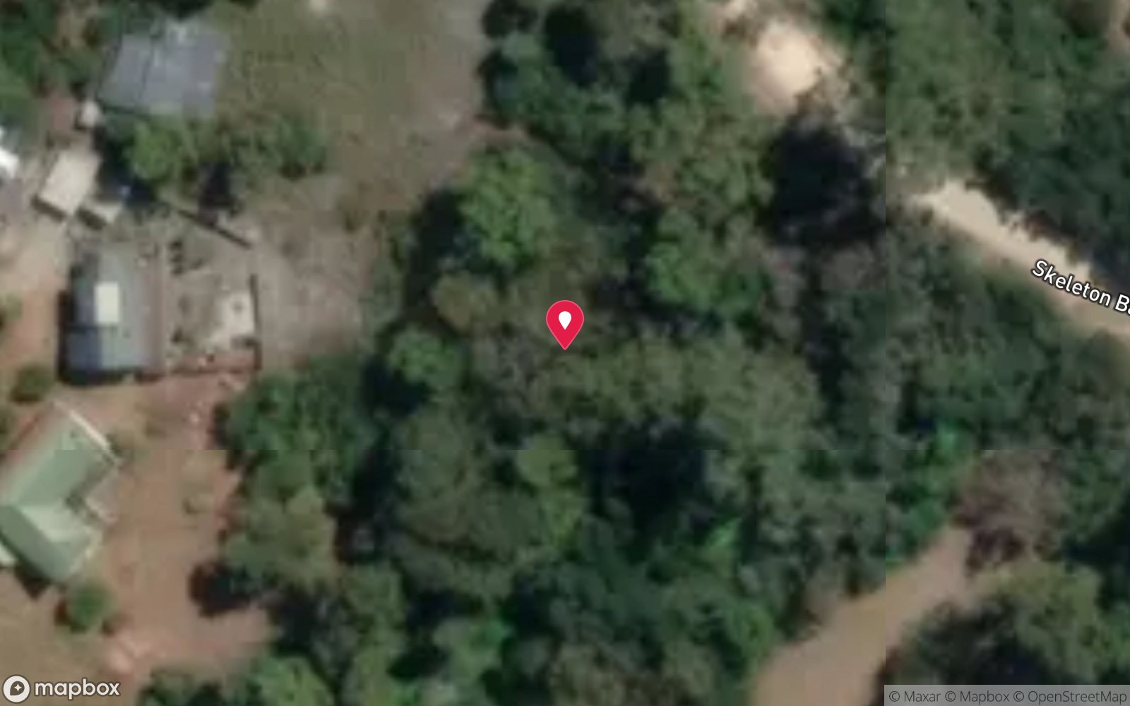
Map
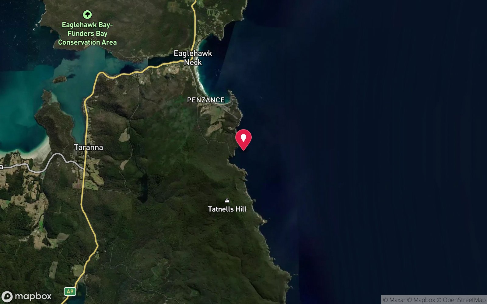
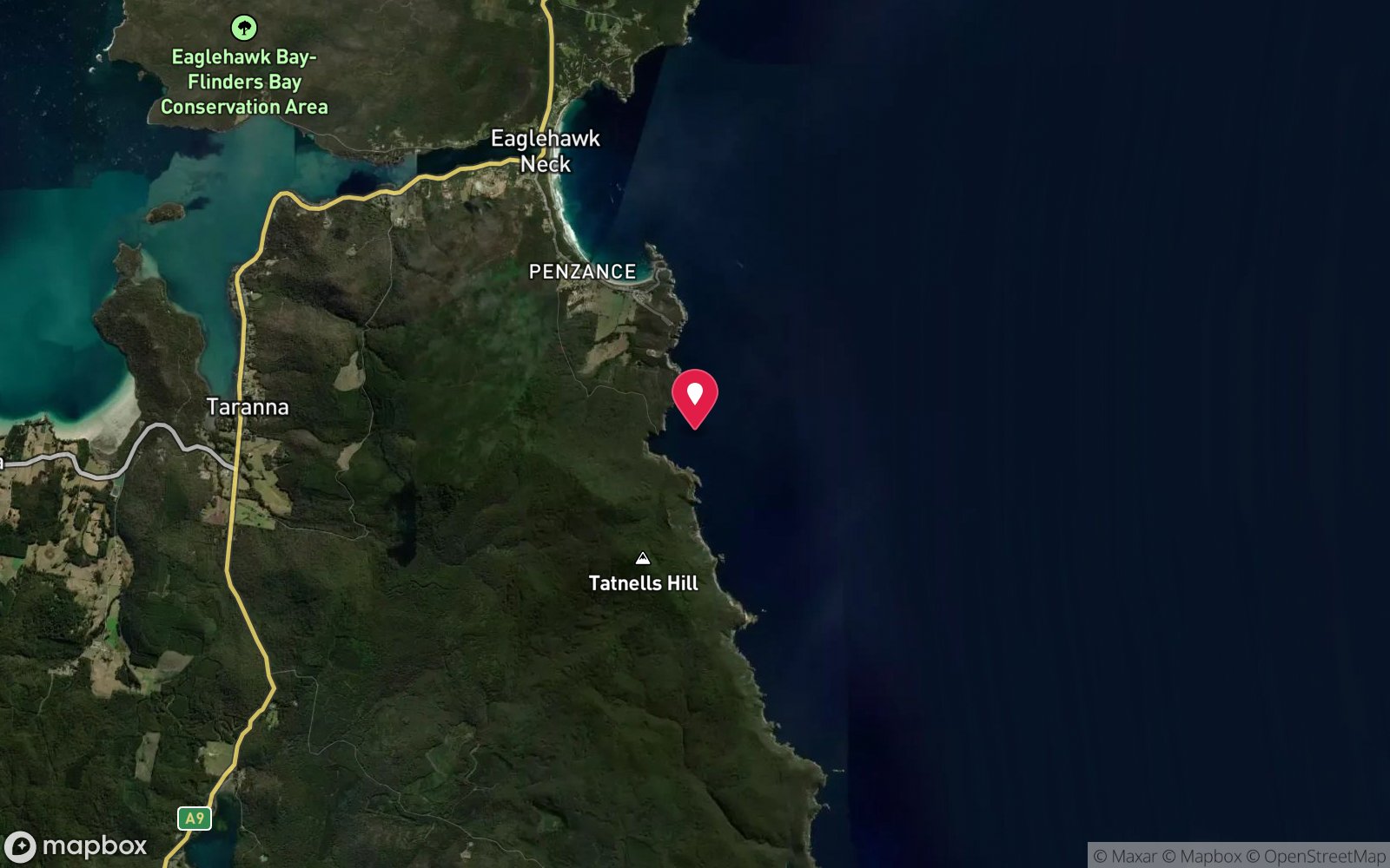
7 pinned sites. Pins marked approximate on their pages show the general area only; not for navigation.
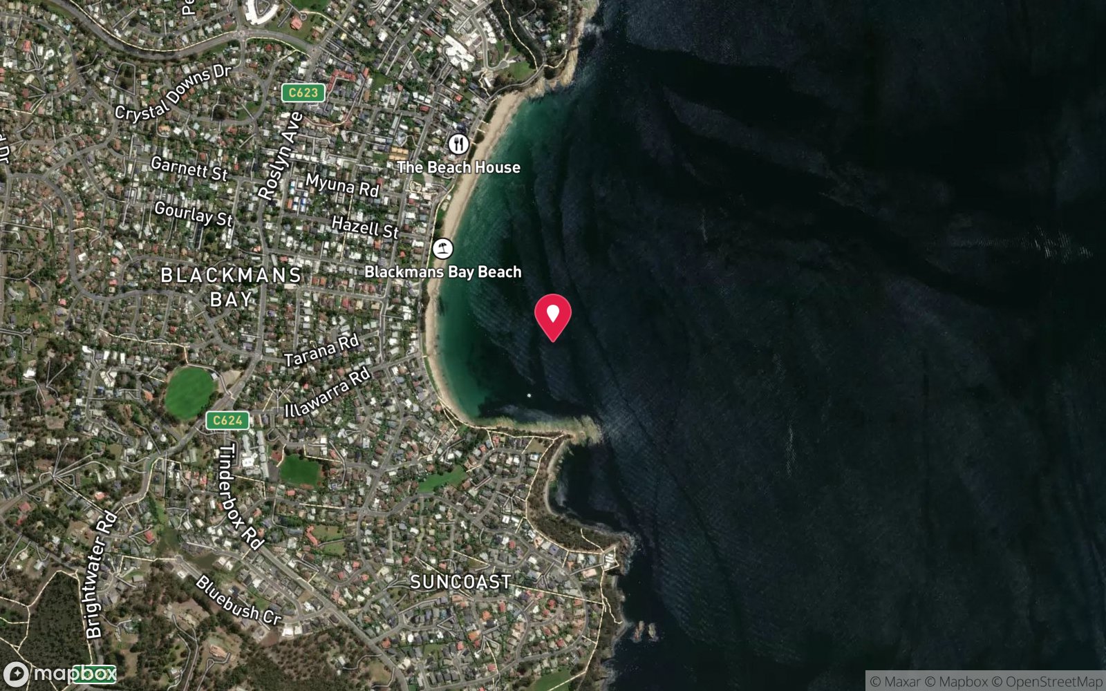
Satellite views
Tasman Arch & Blowhole Reef: frequently asked questions
How deep is Tasman Arch & Blowhole Reef?
Tasman Arch & Blowhole Reef reaches a maximum depth of 20 m, with the shallowest part at about 3 m; most of the dive is spent around 12 m.
What certification do I need to dive Tasman Arch & Blowhole Reef?
Advanced Open Water is the recommended minimum. Open Water divers can dive the shallower section (typical depth 12 m); the full site to 20 m needs Advanced Open Water. Operators often quote Open Water. Rated intermediate because of depth beyond 18 m, surge on the entry or in the shallows, cold water.
Can I shore dive Tasman Arch & Blowhole Reef?
Experienced divers do dive Tasman Arch & Blowhole Reef from the shore, but the entry or conditions make it unsuitable for newer divers without local guidance. Entry: Rock entry from the sea terrace/gravel inlet beside the Blowhole, or from a boat.
When is the best time to dive Tasman Arch & Blowhole Reef?
Late summer to autumn (February-May) for settled weather and best visibility; diveable year-round between fronts.
What marine life will I see at Tasman Arch & Blowhole Reef?
Regularly recorded: Kelp and brown algae, blue-throated wrasse, purple wrasse, leatherjackets, magpie morwong, bastard trumpeter, southern rock lobster, weedy seadragons, sponges, occasional fur seals.
What wetsuit do I need at Tasman Arch & Blowhole Reef?
Drysuit strongly recommended year-round; 7 mm semi-dry or two-piece 7 mm wetsuit with hood and gloves is the minimum in summer.
How cold is the water at Tasman Arch & Blowhole Reef?
Typically 14-18 °C in summer and 10-13 °C in winter.
What are the main hazards at Tasman Arch & Blowhole Reef?
Very exposed rock platform – surge and breaking swell on entry and exit; Blowhole activity signals unsafe conditions; slippery rock; tourists on the platform; no lifeguard or nearby help beyond Eaglehawk Neck. See the hazards section above for the full list.
Where is the nearest recompression chamber to Tasman Arch & Blowhole Reef?
Royal Hobart Hospital Hyperbaric Medicine Unit (Hobart CBD); DAN emergency hotline 1800 088 200. In an emergency call 000, then DAN Asia-Pacific on 1800 088 200.
Diving in Tasman Peninsula
The Tasman Peninsula has the tallest sea cliffs in the southern hemisphere, and beneath them some of Australia's most dramatic diving: the Cathedral Cave system and Waterfall Bay's caves and wall, the Sisters and Hippolyte Rocks with their fur seals, the Thumbs, and the remnant giant kelp at Fortescue Bay and Munro Bight. Deep sites like the Patersons Arch and the Nord wreck (40 m) reward experienced divers.
Getting there: Ninety minutes from Hobart. A dedicated dive operator at Eaglehawk Neck runs boat dives; Fortescue Bay and Pirates Bay have shore access.
Sources
Data confidence: Low · Being verified: Whether routinely dived today is unconfirmed; depths from Marine Life Network only.. Last updated September 2026. Know this site better? How to send a correction
Nearby dive sites
More shore/rock platform dives in Tasmania
Explore more