Dive slate · divesites.com.au · printed 8 Nov 2026
Betsey Island
Hobart & Derwent, Tasmania · near South Arm
| Depth | 5–25 m |
|---|---|
| Minimum level | Advanced Open Water |
| Difficulty | Intermediate |
| Access | Boat (day trip) |
| Entry | Back roll or giant stride from charter boat |
| Current | Mild |
| Visibility | 5-15 m |
| Water | summer 14-18 °C, winter 9-12 °C |
| Suit | Drysuit strongly recommended year-round; 7 mm semi-dry or two-piece 7 mm wetsuit with hood and gloves is the minimum in summer |
| Best season | Late summer to autumn (February-May) for settled weather and best visibility; diveable year-round between fronts |
| Bottom time | 45 min |
| Position | -43.05000, 147.48000 (approximate) |
| Permit | Betsey Island Nature Reserve – no landing; no permit needed to dive. |
| Nearest chamber | Royal Hobart Hospital Hyperbaric Medicine Unit (Hobart CBD); DAN emergency hotline 1800 088 200 |
| Emergency | 000 · DAN Asia-Pacific diving emergency 1800 088 200 |
Betsey Island
Also known as Big Betsey Island, Betsey Island seaward reef
Hobart's nearest ocean-influenced island reef, a short run from South Arm and next to the Betsey Island ships' graveyard.
Near South Arm · Hobart & Derwent, Tasmania
- Depth
- 5–25 m
- Minimum level
- Advanced Open Water
- Access
- Boat (day trip)
- Boat ride
- ~18 min
- Water
- 14-18 °C
- Visibility
- 5-15 m
Betsey Island5–25 m · Advanced Open Water
Dive factsDepths, conditions, location & safety
Season
Off-peak nowBest months: January, February, March, April, May, December.
Late summer to autumn (February-May) for settled weather and best visibility; diveable year-round between fronts
- Best months
- Now (November)
Dive facts
- Depth
- 5–25 m
- Typical depth
- 12 m
- Certification
- Advanced Open Water
- Difficulty
- Intermediate
- Depth tier
- Advanced Open Water (18–30 m)
- Access
- Boat (day trip)
- Offshore
- 5 km
- Dive centre needed
- Yes – boat access only
- Shore / independent
- No
- Boat ride
- ~18 min
- Current
- Mild
- Visibility
- 5-15 m
- Water temp (summer)
- 14-18 °C
- Water temp (winter)
- 9-12 °C
- Water
- Cold Temperate
- Bottom time
- 45 min
- Dive traffic
- Moderate (occasional charters/club dives)
- Night dive
- No
- Snorkel friendly
- No
Exposure suit
Drysuit strongly recommended year-round; 7 mm semi-dry or two-piece 7 mm wetsuit with hood and gloves is the minimum in summer
Location
Betsey Island · Hobart & Derwent Estuary
-43.05000, 147.48000
Approximate position — not for navigation.
Open in Google MapsPrimary source: godivetas.com.auMarine park & permits
Betsey Island Nature Reserve – no landing; no permit needed to dive.
Nearest recompression chamber
Royal Hobart Hospital Hyperbaric Medicine Unit (Hobart CBD); DAN emergency hotline 1800 088 200
Diving emergency: call 000, then DAN AP 1800 088 200.
Trip planner
Build a trip around Betsey Island →
A day-by-day plan for Hobart & Derwent with this site locked in.
This guide is a planning aid. Conditions change daily — confirm with a local dive centre and dive within your training. Data & safety notes.
Dive profile
How this site rates
Scores are computed from the recorded data, not opinions. How?
At a glance
Betsey Island is a island boat dive in Hobart & Derwent, TAS, 5–25 m, suited to Advanced Open Water divers, about 18 minutes by boat.
Rated intermediate because of depth beyond 18 m, boat traffic overhead, cold water.
Why dive here
- Hobart's nearest ocean-influenced island reef, a short run from South Arm and next to the Betsey Island ships' graveyard.
About Betsey Island
Betsey Island is the largest island at the mouth of the Derwent, lying off South Arm where the river meets Storm Bay, with Little Betsey Island close by to the east. It is Hobart's closest 'ocean' island dive, and its reefs are influenced by cleaner Storm Bay water more than the sites upriver. The reef consists of dolerite boulders and ledges covered in kelp and brown algae in the shallows, giving way to sponge-covered rock and sand in deeper water.
Typical fish include blue-throated and purple wrasse, leatherjackets, bastard trumpeter, magpie and banded morwong, and weedy seadragons are found in the weed. Rock lobster shelter in the crevices, and fur seals from Storm Bay sometimes visit. The island's main diving attraction, however, lies to the west of Little Betsey, where Hobart's ships' graveyard holds a dozen scuttled vessels and bridge sections.
Many club trips combine a wreck dive in the graveyard with a reef dive on the island. Betsey Island is a nature reserve and an important seabird breeding site; landing is not permitted. Visibility is variable: after a dry spell and on an incoming tide it can exceed 10 m, but Derwent floods and southerly swell quickly reduce it.
The island suits Open Water divers with some cold-water experience on its sheltered side, and Advanced divers on its exposed seaward reefs.
Getting there & entry
Island at the mouth of the Derwent off South Arm, facing Storm Bay, with rocky reef, kelp and sponges on its seaward (southern and eastern) side.
South Arm is about 35 km (40 minutes) south-east of Hobart: cross the Tasman Bridge, follow the South Arm Highway (B33) through Rokeby and Lauderdale to South Arm. The main boat ramp is at South Arm (Blessington Street/Harbour area) with trailer parking and toilets; Lauderdale (Doran's Road) is an alternative ramp further north. Betsey Island lies about 5-6 km south-east of the South Arm ramp across the Derwent mouth, 15-20 minutes by boat.
Choose the lee side according to wind and swell and anchor in sand clear of the reef. The island is a nature reserve with nesting seabirds; do not land.
Entry: Back roll or giant stride from charter boat
Facilities: South Arm boat ramp with parking and toilets; fills in Hobart.
Weather, swell & tides
The South Arm peninsula and Iron Pot sit at the junction of the Derwent and Storm Bay. Western shores and the lee sides of the islands are sheltered from easterlies; eastern and southern faces are exposed to southerly swell rolling in from Storm Bay. Strong southerly winds and swell close the exposed sites; northerly and light westerly winds give the best conditions.
Visibility varies widely, from 3 m after Derwent floods to 15 m in clear marine water after a dry spell and a flood tide. Afternoon sea breezes can make the boat ride back choppy. The seaward side is exposed to Storm Bay swell; in southerlies the northern and western sides give shelter.
Best season: Late summer to autumn (February-May) for settled weather and best visibility; diveable year-round between fronts
If it's blown out
Sheltered or shore sites within 25 km that often work when Betsey Island doesn't.
- Tinderbox Marine Reserve · 12 km · Max 12 m
- Blackmans Bay · 13 km · Max 12 m
- Kingston Beach (Handfish site) · 15 km · Max 8 m
- Sloping Island Kelp Forest · 17 km · Max 12 m
How the dive is usually run
Anchor on the lee side, descend to the reef edge at 12-18 m and follow the reef along the island, checking crevices for crayfish and the kelp for seadragons. Rise through the kelp for the safety stop.
Marine life
- Kelp and brown algae
- sponges
- southern rock lobster
- blue-throated wrasse
- purple wrasse
- leatherjackets
- bastard trumpeter
- magpie morwong
- banded morwong
- weedy seadragons →
- rays
- fur seals →
Linked species have their own page listing every site where they are recorded. All marine life →
Training required
Beyond 18 m an Advanced certification (which includes a deep dive to 30 m) is the accepted minimum. Anything past 25 m is a deep dive in practice.
Open Water divers can dive the shallower section (typical depth 12 m); the full site to 25 m needs Advanced Open Water. Operators often quote Open Water.
Operators' own listing: Open Water.
Courses that help here
- Drysuit Diver – Cold water; locals dive dry for much of the year.
Depth tiers: 0–10 m easy · to 18 m Open Water · 18–30 m Advanced (25 m+ is a deep dive) · 30–40 m Deep specialty · 40 m+ technical. All courses
Hazards & warnings
Exposed to Storm Bay swell on the seaward side; boat traffic at the Derwent mouth; nature reserve – no landing; variable visibility.
Dive centres that go here
No scheduled operator trips; Hobart club boats and private boats from South Arm; Go Dive Tasmania and The Dive Shop Hobart can advise.
Operators recorded for Betsey Island
Other dive centres in Hobart & Derwent
Tasmania Tech and Dive Centre
ProfiledHobart & Derwent · TAS
The Tasmanian operation most clearly associated with technical diving services, spanning recreational and technical training with technical gas support.
Tasmanian Divers North
ListedLaunceston · Tasmania North & North-West · TAS
A northern Tasmanian operation serving the Bass Strait coastline and local diving community.
tasdivers.com.au · (03) 6229 1020
Tasmanian Divers South
ListedKingston · Hobart & Derwent · TAS
A southern Tasmanian operation serving the Hobart region and surrounding diving.
tasdivers.com.au · (03) 6229 1020
The Dive Shop Hobart
ListedHobart · Hobart & Derwent · TAS
A Hobart equipment and service business supporting local cold-water divers.
thediveshophobart.com.au · (03) 6234 3428
Underwater Adventures Tasmania
Reported closedBattery Point · Bruny Island & D'Entrecasteaux Channel · TAS
Reported permanently closed on Tripadvisor; last reviews 2013; formerly ran from Battery Point jetty (underwateradventures.com.au).
Map
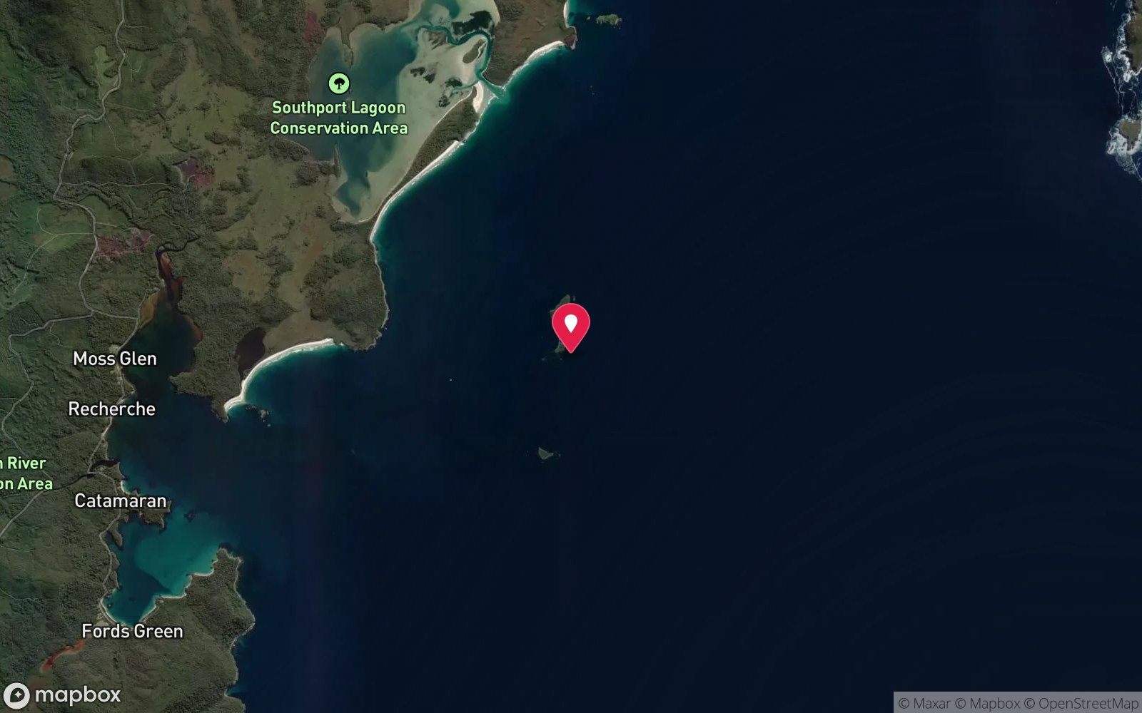
7 pinned sites. Pins marked approximate on their pages show the general area only; not for navigation.
Satellite views
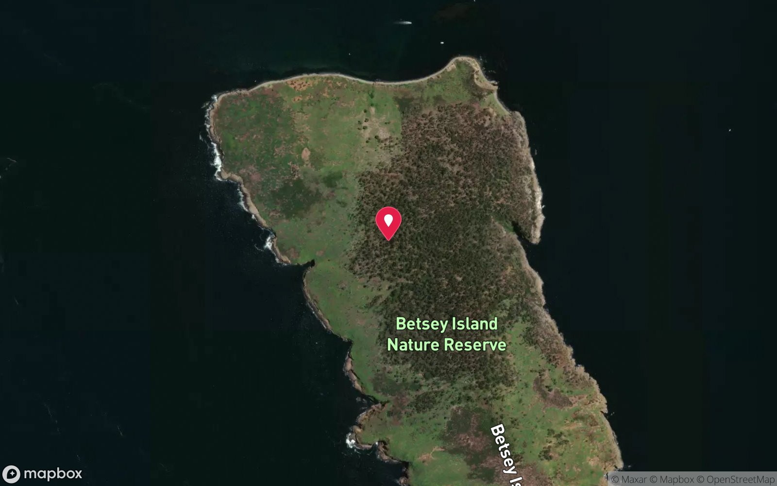
Betsey Island: frequently asked questions
How deep is Betsey Island?
Betsey Island reaches a maximum depth of 25 m, with the shallowest part at about 5 m; most of the dive is spent around 12 m.
What certification do I need to dive Betsey Island?
Advanced Open Water is the recommended minimum. Open Water divers can dive the shallower section (typical depth 12 m); the full site to 25 m needs Advanced Open Water. Operators often quote Open Water. Rated intermediate because of depth beyond 18 m, boat traffic overhead, cold water.
Can I shore dive Betsey Island?
No, it is reached by boat (about 18 minutes). A dive centre is required: boat access only.
When is the best time to dive Betsey Island?
Late summer to autumn (February-May) for settled weather and best visibility; diveable year-round between fronts.
What marine life will I see at Betsey Island?
Regularly recorded: Kelp and brown algae, sponges, southern rock lobster, blue-throated wrasse, purple wrasse, leatherjackets, bastard trumpeter, magpie morwong, banded morwong, weedy seadragons, rays, fur seals.
What wetsuit do I need at Betsey Island?
Drysuit strongly recommended year-round; 7 mm semi-dry or two-piece 7 mm wetsuit with hood and gloves is the minimum in summer.
How cold is the water at Betsey Island?
Typically 14-18 °C in summer and 9-12 °C in winter.
What are the main hazards at Betsey Island?
Exposed to Storm Bay swell on the seaward side; boat traffic at the Derwent mouth; nature reserve – no landing; variable visibility. See the hazards section above for the full list.
Where is the nearest recompression chamber to Betsey Island?
Royal Hobart Hospital Hyperbaric Medicine Unit (Hobart CBD); DAN emergency hotline 1800 088 200. In an emergency call 000, then DAN Asia-Pacific on 1800 088 200.
Diving in Hobart & Derwent
Hobart has the Tinderbox Marine Reserve, with its snorkel trail, weedy seadragons and easy shore access, the Derwent's wrecks and the Alma dredge, the Blackmans Bay and Kingston reefs, and the Iron Pot at the river mouth. Water is 11–17 °C and visibility improves quickly downstream of the city.
Getting there: All within 30–40 minutes of the city with shore entries; Hobart dive shops run charters and hire drysuits.
Sources
Data confidence: Low · Being verified: No detailed published reef guide; depths from v1 estimate.. Last updated September 2026. Know this site better? How to send a correction
Nearby dive sites
More island dives in Tasmania
Explore more