Dive slate · divesites.com.au · printed 8 Nov 2026
Dolly Beach
Christmas Island, External Territories · near Flying Fish Cove (The Settlement)
| Depth | 0–10 m |
|---|---|
| Minimum level | Snorkel/Any |
| Difficulty | Intermediate |
| Access | Shore |
| Entry | Walk-in from the beach over the reef flat at high tide |
| Current | Variable/Tidal |
| Visibility | 25-40 m |
| Water | summer 28-29 °C, winter 26-27 °C |
| Suit | 3 mm full wetsuit (many dive in a 3 mm shorty or rash vest); 5 mm for multiple long dives or cave dives |
| Best season | December–March calm spells when the north coast is swell-affected; any light-wind day in the dry season |
| Position | -10.51300, 105.68500 (approximate) |
| Permit | Christmas Island Marine Park (Australian Marine Parks, proclaimed March 2022): inshore waters are Habitat Protection Zone (yellow) – diving, snorkelling and recreational fishing allowed, no seabed-disturbing activities; the no-take National Park Zone starts about 12 nautical miles offshore. Christmas Island National Park also extends 50 m seaward of low-water mark along about 46 km of coast. No permit required for recreational diving; do not collect or disturb marine life. This site's shoreline lies within Christmas Island National Park. Camping permit required from Parks Australia. |
| Nearest chamber | Fiona Stanley Hospital (Perth) – approx. 2,600 km away; there is no recompression chamber on Christmas Island. Stabilisation at Christmas Island Hospital, then aeromedical evacuation to Perth (many hours) |
| Emergency | 000 · DAN Asia-Pacific diving emergency 1800 088 200 |
Dolly Beach
Also known as Dolly
A remote palm-fringed reef beach with turtle nesting, rock pools and a freshwater stream – snorkel and camp.
Near Flying Fish Cove (The Settlement) · Christmas Island, External Territories
- Depth
- 0–10 m
- Minimum level
- Snorkel/Any
- Access
- Shore
- Boat ride
- —
- Water
- 28-29 °C
- Visibility
- 25-40 m
Dolly Beach0–10 m · Snorkel/Any · Shore
Dive factsDepths, conditions, location & safety
Season
Off-peak nowBest months: January, February, March, May, June, July, August, September, October, December.
December–March calm spells when the north coast is swell-affected; any light-wind day in the dry season
- Best months
- Now (November)
- Stinger suit Nov–May
Dive facts
- Depth
- 0–10 m
- Typical depth
- 3 m
- Certification
- Snorkel/Any
- Difficulty
- Intermediate
- Depth tier
- Easy (0–10 m)
- Access
- Shore
- Offshore
- 0 km
- Dive centre needed
- No – independently diveable
- Shore / independent
- Possible (experienced only)
- Current
- Variable/Tidal
- Visibility
- 25-40 m
- Water temp (summer)
- 28-29 °C
- Water temp (winter)
- 26-27 °C
- Water
- Tropical
- Dive traffic
- Rarely dived (private boat/club only)
- Night dive
- No
- Snorkel friendly
- Yes
Exposure suit
3 mm full wetsuit (many dive in a 3 mm shorty or rash vest); 5 mm for multiple long dives or cave dives
Location
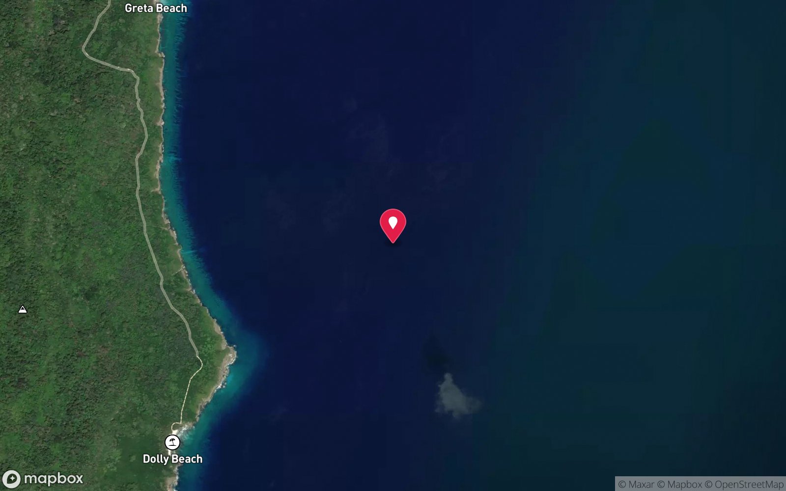
East coast – Greta and Dolly Beaches · Christmas Island (Indian Ocean)
-10.51300, 105.68500
Approximate position — not for navigation.
Open in Google MapsPrimary source: christmasislandnationalpark.gov.auMarine park & permits
Christmas Island Marine Park (Australian Marine Parks, proclaimed March 2022): inshore waters are Habitat Protection Zone (yellow) – diving, snorkelling and recreational fishing allowed, no seabed-disturbing activities; the no-take National Park Zone starts about 12 nautical miles offshore. Christmas Island National Park also extends 50 m seaward of low-water mark along about 46 km of coast. No permit required for recreational diving; do not collect or disturb marine life. This site's shoreline lies within Christmas Island National Park. Camping permit required from Parks Australia.
Nearest recompression chamber
Fiona Stanley Hospital (Perth) – approx. 2,600 km away; there is no recompression chamber on Christmas Island. Stabilisation at Christmas Island Hospital, then aeromedical evacuation to Perth (many hours)
Diving emergency: call 000, then DAN AP 1800 088 200.
Trip planner
Build a trip around Dolly Beach →
A day-by-day plan for Christmas Island with this site locked in.
This guide is a planning aid. Conditions change daily — confirm with a local dive centre and dive within your training. Data & safety notes.
Dive profile
How this site rates
Scores are computed from the recorded data, not opinions. How?
At a glance
Dolly Beach is a shore / rock platform shore dive for experienced divers in Christmas Island, Australia's external territories, 0–10 m, suitable for snorkellers and first-time divers, variable/tidal current.
Rated intermediate because of tidal current that must be timed.
Why dive here
- A remote palm-fringed reef beach with turtle nesting, rock pools and a freshwater stream – snorkel and camp.
- Snorkel-friendly, so non-diving companions can join at the surface.
- Rarely dived: expect to have the site to yourself, and plan your own logistics.
- Visibility often reaches 25-40 m.
Conditions to avoid
- Strong southerly or south-east swell and wind
- Outgoing tide or run-off after rain (poor visibility)
About Dolly Beach
Dolly Beach is one of Christmas Island's most beautiful and secluded beaches: a palm-fringed crescent on the south-east coast with a coral reef, shallow rock pools and a freshwater stream, reached by 4WD and a forest boardwalk of about 1.8 km (Parks Australia, Tourism Association). Marine turtles nest on the beach, robber (coconut) crabs roam the forest edge, and camping is permitted with a Parks Australia permit, making it a popular overnight trip.
Underwater, the reef flat and shallow lagoon inside the reef provide easy snorkelling on calm days, with hard coral, small reef fish – damsels, butterflyfish, wrasse, surgeonfish and parrotfish – and turtles in the water, particularly around nesting season. The rock pools at low tide are full of small fish, crabs and molluscs. The freshwater stream running onto the beach adds to its appeal.
Dolly Beach is not dived by the operators and is too remote for carrying scuba gear, so it is best thought of as a snorkelling and wildlife site. It is included in this database because it is a named coastal site visitors seek out. The south-east coast faces straight into the trade winds, so for most of the dry season the reef edge is pounded by waves; calm wet-season days or light-wind spells are best.
The beach also collects plastic debris carried by currents from South-East Asia, and Parks Australia and volunteers carry out regular clean-ups. Suits fit walkers, campers and snorkellers who want a remote tropical beach with almost no one else around.
Getting there & entry
Remote palm-fringed beach on the south-east coast, reached by 4WD and a 1.8 km boardwalked forest track; coral reef and rock pools, turtle nesting and camping.
Fly from Perth (about 4 hours, two to three flights a week, some via Cocos Islands) and hire a car – there is no public transport. Dolly Beach is about 30 minutes' drive from The Settlement on the south-east side of the island; a 4WD is essential. From the car park follow a Grade 3 track of about 1.8 km, mostly boardwalk through the forest, to the beach.
Carrying scuba gear is impractical – snorkel only. Camping is allowed with a permit from Parks Australia.
Entry: Walk-in from the beach over the reef flat at high tide
Facilities: None – no toilets, tables, barbecues or showers at the beach. Camping by permit only. Freshwater stream (treat before drinking).
Weather, swell & tides
On the east coast, which takes the full force of the south-east trade winds from roughly April/May to November, when 15–25 knot winds and wind swell usually make it rough and undiveable by boat. It becomes the fallback coast in the wet season (December–March): when the north-west monsoon swell closes the north coast, the east side is often sheltered and calm. Dive it on light-wind days or during the monsoon.
Beyond the fringing reef currents can be strong and the reef edge is washed by surge whenever there is any easterly swell. Visibility is typically 20–30 m and drops after rain and during red crab spawning (Oct–Jan), when Ethel and Greta Beaches are spawning sites.
Best season: December–March calm spells when the north coast is swell-affected; any light-wind day in the dry season
If it's blown out
Sheltered or shore sites within 25 km that often work when Dolly Beach doesn't.
- Flying Fish Cove · 10 km · Max 25 m
- The Sandpatch · 10 km · Max 18 m
- Admin Wall · 10 km · Max 30 m
- Greta Beach · 2 km · Max 8 m
How the dive is usually run
Snorkel the shallow reef and rock pools inside the reef at high tide in calm conditions, staying well inside the reef edge.
Marine life
- Marine turtles (nesting and feeding) →
- hard corals
- damsels
- butterflyfish
- wrasse
- surgeonfish
- parrotfish; robber crabs ashore
Linked species have their own page listing every site where they are recorded. All marine life →
Training required
Shallow enough for snorkellers and for a first dive under supervision. Any certified diver can dive it.
Depth tiers: 0–10 m easy · to 18 m Open Water · 18–30 m Advanced (25 m+ is a deep dive) · 30–40 m Deep specialty · 40 m+ technical. All courses
Hazards & warnings
Remote – 4WD and 1.8 km walk, no mobile coverage guaranteed; waves and currents beyond the reef, especially in south-east trades; sharp coral – reef shoes; do not disturb nesting turtles; camping permit required.
Dive centres that go here
No dive operator – self-guided snorkelling by walkers and campers.
Other dive centres in Christmas Island
Extra Divers Christmas Island
ListedFlying Fish Cove · Christmas Island · WA
The main dive operation on Christmas Island, servicing the island's wall and drop-off diving.
extradivers-worldwide.com/en/extra-divers-christmas-island
CI Wet'n'Dry Adventures
Named by sitesChristmas Island · Christmas Island · External Territory
Trades as Christmas Island Wet'n'Dry Adventures / Dive Christmas Island; family business since 1994.
divingchristmas.com · 0439 215 290
Freedive Christmas Island
Named by sitesChristmas Island · Christmas Island · External Territory
Freediving and snorkel tours; website not fetchable (robots), details from freedivingcentre.com listing.
freedivechristmasisland.com
Map
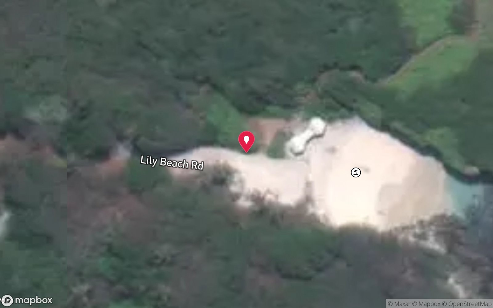
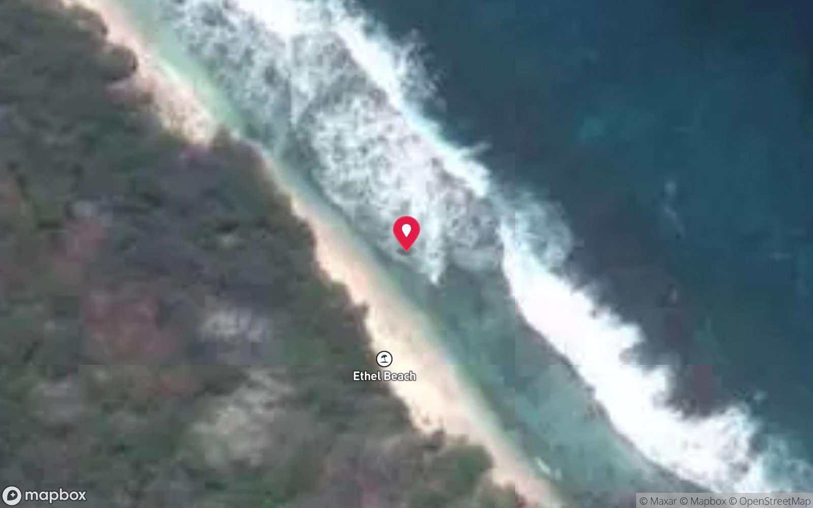
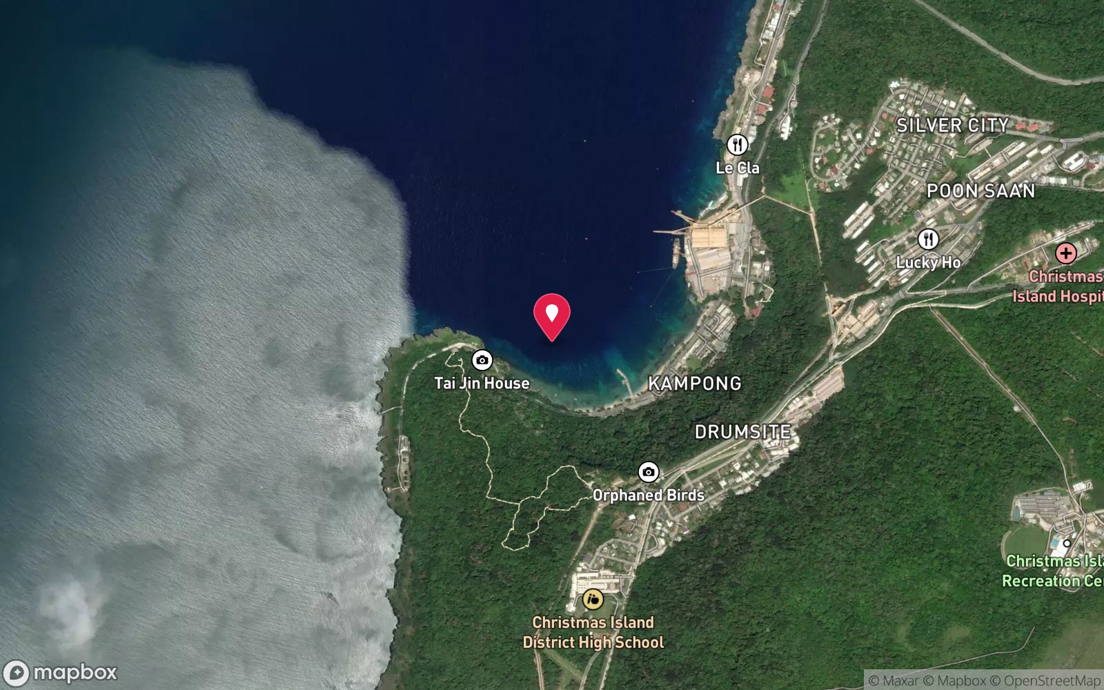
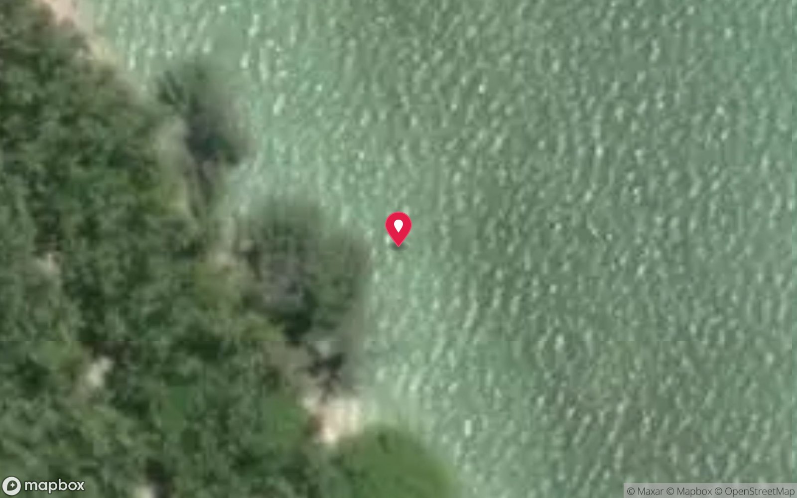
7 pinned sites. Pins marked approximate on their pages show the general area only; not for navigation.
Satellite views
Dolly Beach: frequently asked questions
How deep is Dolly Beach?
Dolly Beach reaches a maximum depth of 10 m, with the shallowest part at about 0 m; most of the dive is spent around 3 m.
What certification do I need to dive Dolly Beach?
No certification is needed to snorkel it, and it suits introductory dives. Rated intermediate because of tidal current that must be timed.
Can I shore dive Dolly Beach?
Experienced divers do dive Dolly Beach from the shore, but the entry or conditions make it unsuitable for newer divers without local guidance. Entry: Walk-in from the beach over the reef flat at high tide.
When is the best time to dive Dolly Beach?
December–March calm spells when the north coast is swell-affected; any light-wind day in the dry season.
What marine life will I see at Dolly Beach?
Regularly recorded: Marine turtles (nesting and feeding), hard corals, damsels, butterflyfish, wrasse, surgeonfish, parrotfish; robber crabs ashore.
What wetsuit do I need at Dolly Beach?
3 mm full wetsuit (many dive in a 3 mm shorty or rash vest); 5 mm for multiple long dives or cave dives.
How cold is the water at Dolly Beach?
Typically 28-29 °C in summer and 26-27 °C in winter.
What are the main hazards at Dolly Beach?
Remote – 4WD and 1.8 km walk, no mobile coverage guaranteed; waves and currents beyond the reef, especially in south-east trades; sharp coral – reef shoes; do not disturb nesting turtles; camping permit required. See the hazards section above for the full list.
Where is the nearest recompression chamber to Dolly Beach?
Fiona Stanley Hospital (Perth) – approx. 2,600 km away; there is no recompression chamber on Christmas Island. Stabilisation at Christmas Island Hospital, then aeromedical evacuation to Perth (many hours). In an emergency call 000, then DAN Asia-Pacific on 1800 088 200.
Diving in Christmas Island
Christmas Island is the top of a volcanic seamount, so the fringing reef gives way to a wall within 20–50 m of the shore and keeps falling to 500 m. The diving is drift and wall diving in exceptional visibility, with sea caves such as Thundercliff, the endemic dragon moray, grey reef and silvertip sharks, spinner dolphins and, from November to January, whale sharks that arrive to feed on red crab spawn.
Getting there: Fly from Perth (about four hours) with a single dive operator based at Flying Fish Cove. Shore entries are possible at Flying Fish Cove and a few north-coast sites when the sea is flat.
Sources
- christmasislandnationalpark.gov.au/things-do/activities/beaches/dolly-beach
- christmas.net.au/explore/beaches-christmas-island
Data confidence: Low · Being verified: Snorkel spot, not a dive site; coordinates approximate – confirm position.. Last updated September 2026. Know this site better? How to send a correction
Nearby dive sites
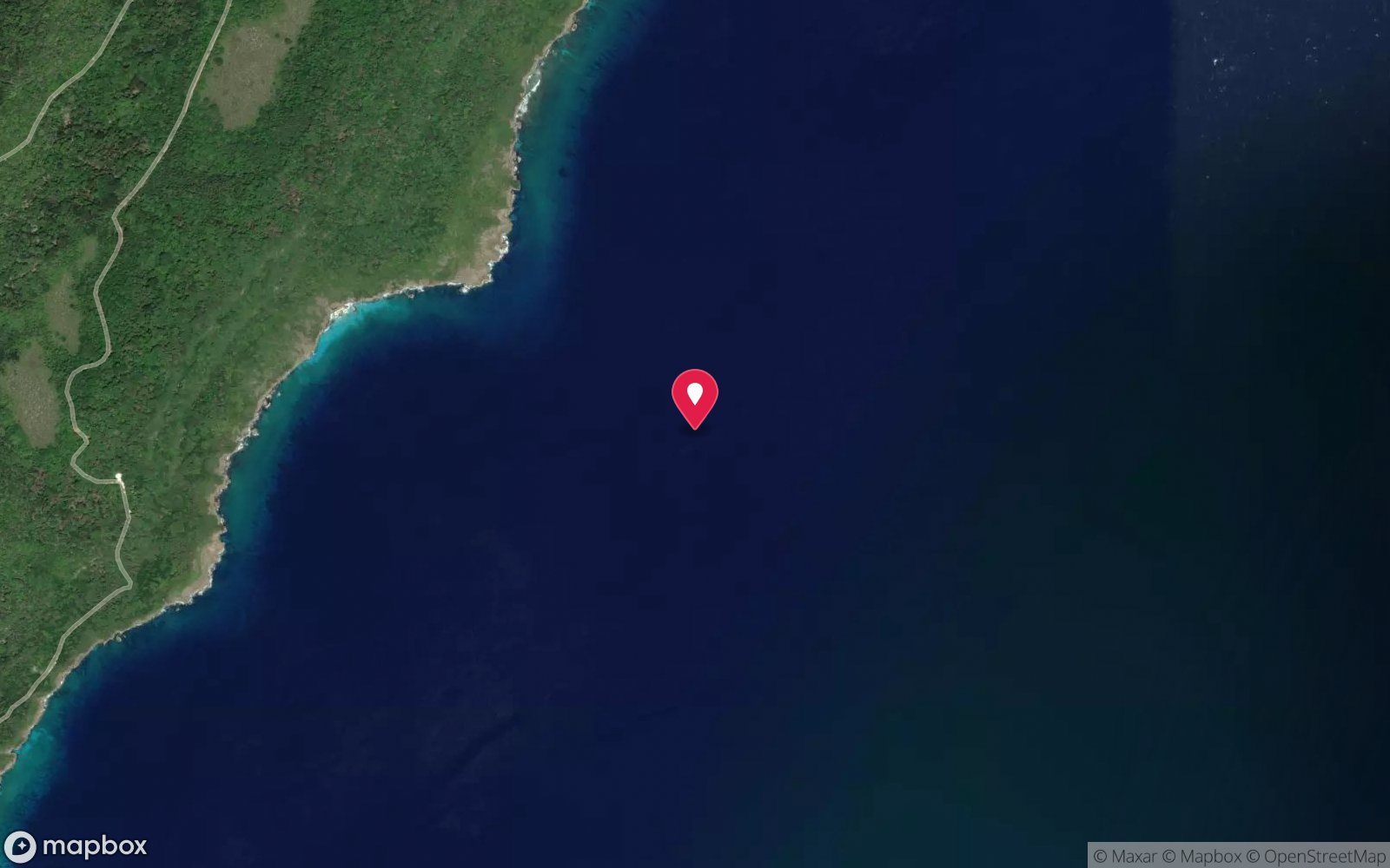
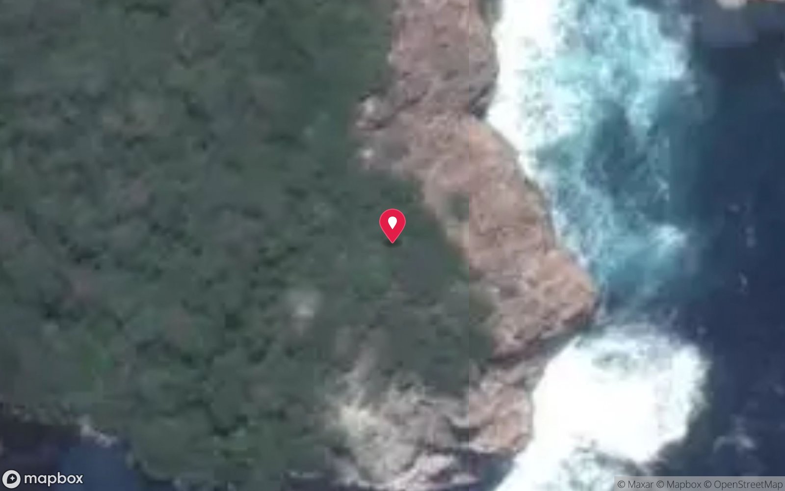
More shore/rock platform dives in External Territories
Explore more
This region
Similar dives
Marine life