Dive slate · divesites.com.au · printed 9 Nov 2026
Gabo Island (Santa Barbara Bay)
East Gippsland, Victoria · near Mallacoota
| Depth | 3–20 m |
|---|---|
| Minimum level | Advanced Open Water |
| Difficulty | Intermediate |
| Access | Boat |
| Entry | Giant stride from a charter or private boat in Santa Barbara Bay, or walk in from the beach/jetty if landed on the island |
| Current | Moderate |
| Visibility | 8-20 m |
| Water | summer 19-22 °C, winter 14-16 °C |
| Suit | 7mm semi-dry or 5mm with hood in late summer; drysuit or 7mm in winter |
| Best season | Late summer to autumn (Feb–May) for warm East Australian Current water and the calmest crossings |
| Bottom time | 45 min |
| Position | -37.56500, 149.91000 (approximate) |
| Permit | Gabo Island is outside Cape Howe MNP (no-take zone lies east of the island) – fishing regulations apply; Gabo Island Lighthouse Reserve managed by Parks Victoria |
| Nearest chamber | Prince of Wales Hospital (Sydney) – contact DAN/000; The Alfred (Melbourne) is further by road |
| Emergency | 000 · DAN Asia-Pacific diving emergency 1800 088 200 |
Gabo Island (Santa Barbara Bay)
Also known as Gabo Island, Santa Barbara Bay, Gabo Island jetty
A sheltered granite bay and jetty on a lighthouse island 14 km off Mallacoota, with blue groper, banded morwong, dolphins, seals and penguins in warm-temperate water; the far-east frontier of Victorian diving.
Near Mallacoota · East Gippsland, Victoria
- Depth
- 3–20 m
- Minimum level
- Advanced Open Water
- Access
- Boat
- Boat ride
- ~40 min
- Water
- 19-22 °C
- Visibility
- 8-20 m
Gabo Island (Santa Barbara Bay)3–20 m · Advanced Open Water
Dive factsDepths, conditions, location & safety
Season
Off-peak nowBest months: January, February, March, April, May, December.
Late summer to autumn (Feb–May) for warm East Australian Current water and the calmest crossings
- Best months
- Now (November)
Dive facts
- Depth
- 3–20 m
- Typical depth
- 10 m
- Certification
- Advanced Open Water
- Difficulty
- Intermediate
- Depth tier
- Advanced Open Water (18–30 m)
- Access
- Boat
- Offshore
- 14 km
- Dive centre needed
- Yes – boat access only
- Shore / independent
- No
- Boat ride
- ~40 min
- Current
- Moderate
- Visibility
- 8-20 m
- Water temp (summer)
- 19-22 °C
- Water temp (winter)
- 14-16 °C
- Water
- Temperate
- Bottom time
- 45 min
- Dive traffic
- Rarely dived (private boat/club only)
- Night dive
- Possible
- Snorkel friendly
- Yes
Exposure suit
7mm semi-dry or 5mm with hood in late summer; drysuit or 7mm in winter
Location
Gabo Island / Cape Howe
-37.56500, 149.91000
Approximate position — not for navigation.
Open in Google MapsPrimary source: visitmallacoota.com.auMarine park & permits
Gabo Island is outside Cape Howe MNP (no-take zone lies east of the island) – fishing regulations apply; Gabo Island Lighthouse Reserve managed by Parks Victoria
Nearest recompression chamber
Prince of Wales Hospital (Sydney) – contact DAN/000; The Alfred (Melbourne) is further by road
Diving emergency: call 000, then DAN AP 1800 088 200.
Trip planner
Build a trip around Gabo Island (Santa Barbara Bay) →
A day-by-day plan for East Gippsland with this site locked in.
This guide is a planning aid. Conditions change daily — confirm with a local dive centre and dive within your training. Data & safety notes.
Dive profile
How this site rates
Scores are computed from the recorded data, not opinions. How?
At a glance
Gabo Island (Santa Barbara Bay) is a island boat dive in East Gippsland, VIC, 3–20 m, suited to Advanced Open Water divers, moderate current, about 40 minutes by boat.
Rated intermediate because of depth beyond 18 m, cold water.
Why dive here
- A sheltered granite bay and jetty on a lighthouse island 14 km off Mallacoota, with blue groper, banded morwong, dolphins, seals and penguins in warm-temperate water; the far-east frontier of Victorian diving.
- Snorkel-friendly, so non-diving companions can join at the surface.
- Rarely dived: expect to have the site to yourself, and plan your own logistics.
- Visibility often reaches 8-20 m.
Conditions to avoid
- Swell above about 1.5 m
- Strong southerly or south-east swell and wind
About Gabo Island (Santa Barbara Bay)
Gabo Island is the granite island off Cape Howe at the very eastern end of Victoria, 14 km from Mallacoota, crowned by the 47 m pink-granite lighthouse of 1862 – the second tallest in Australia – and home to one of the largest little penguin colonies in the world. It is the only offshore island in East Gippsland that a diver can reasonably reach, via the Mallacoota charter boats that run lighthouse and wildlife trips, and Santa Barbara Bay on its north-western side – the island's only sandy beach, with a jetty – is described by Visit Mallacoota as the best shallow spot, suitable for all skill levels. The bay is a natural harbour of granite arms enclosing sand and seagrass, and the diving is along those arms: boulders and ledges under bull kelp and mixed algae in 3–20 m, with sponge, ascidian and bryozoan patches in the shade, abalone and sea urchins on every surface (this is abalone country), crayfish in the ledges and a fish community that marks the meeting of Victorian and NSW faunas – banded morwong, blue groper, wrasses of several species, sweep, luderick, drummer, leatherjackets and, in warm summers, tropical strays carried down on the East Australian Current.
Dolphins and stingrays are regulars at the jetty, fur seals haul out near it, and the penguins come and go at dawn and dusk. The island's outer coasts, facing the Tasman, are steep granite dropping to deeper water with richer sponge cover, and the wreck of the SS Monumental City (1853) lies off Tullaberga Island to the west; both are calm-day, experienced-diver propositions. East of the island the Cape Howe Marine National Park is no-take; Gabo itself is outside it.
Everything about Gabo is self-organised – the charters carry divers but do not guide, there is no air in Mallacoota, and the weather decides the day – but the reward is a clear-water granite island with a lighthouse, penguins, seals and warm-temperate fish that almost no Victorian divers have visited. Lighthouse-keeper's cottage accommodation is bookable through Parks Victoria for those who want to stay and snorkel the bay at leisure.
Getting there & entry
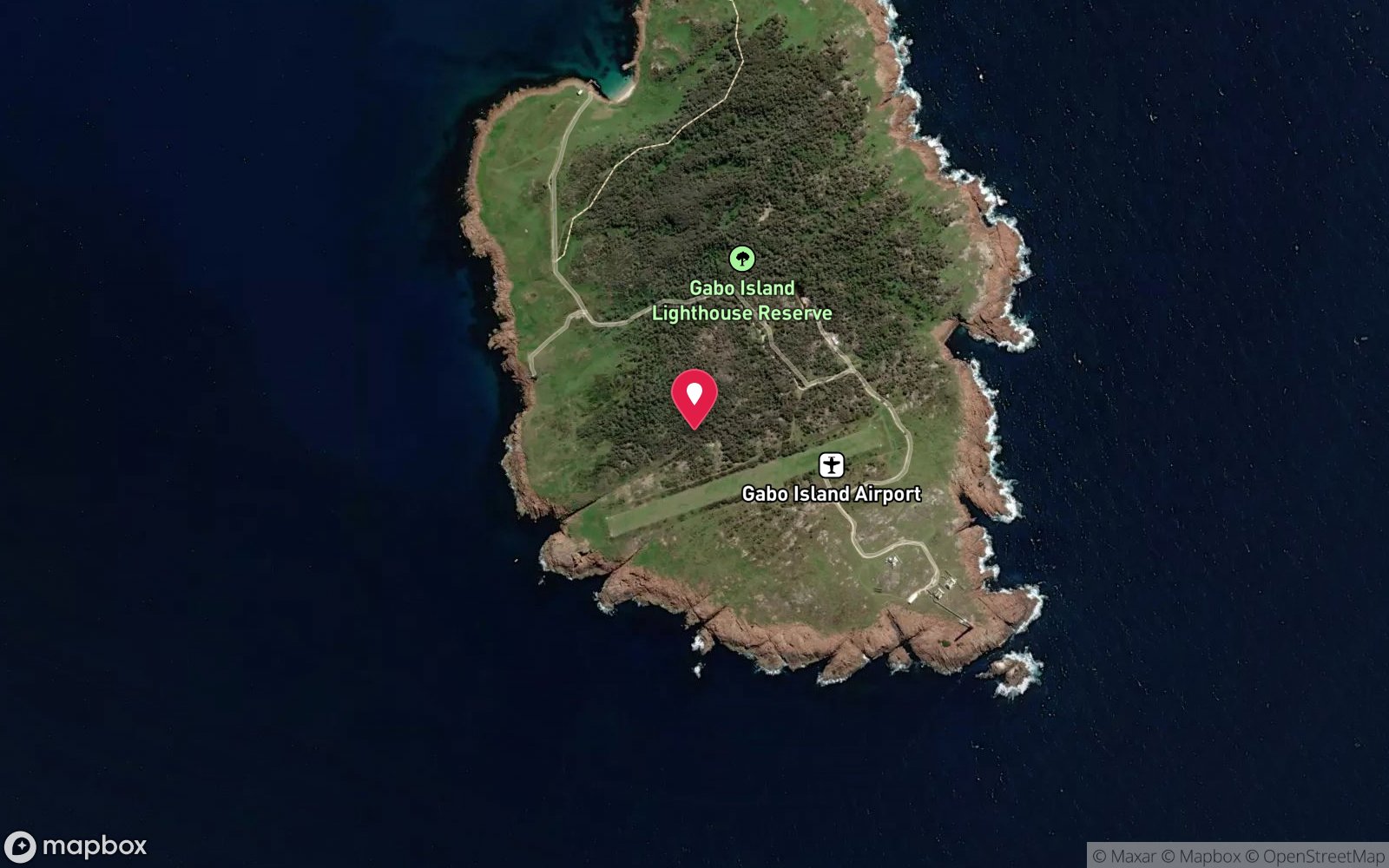
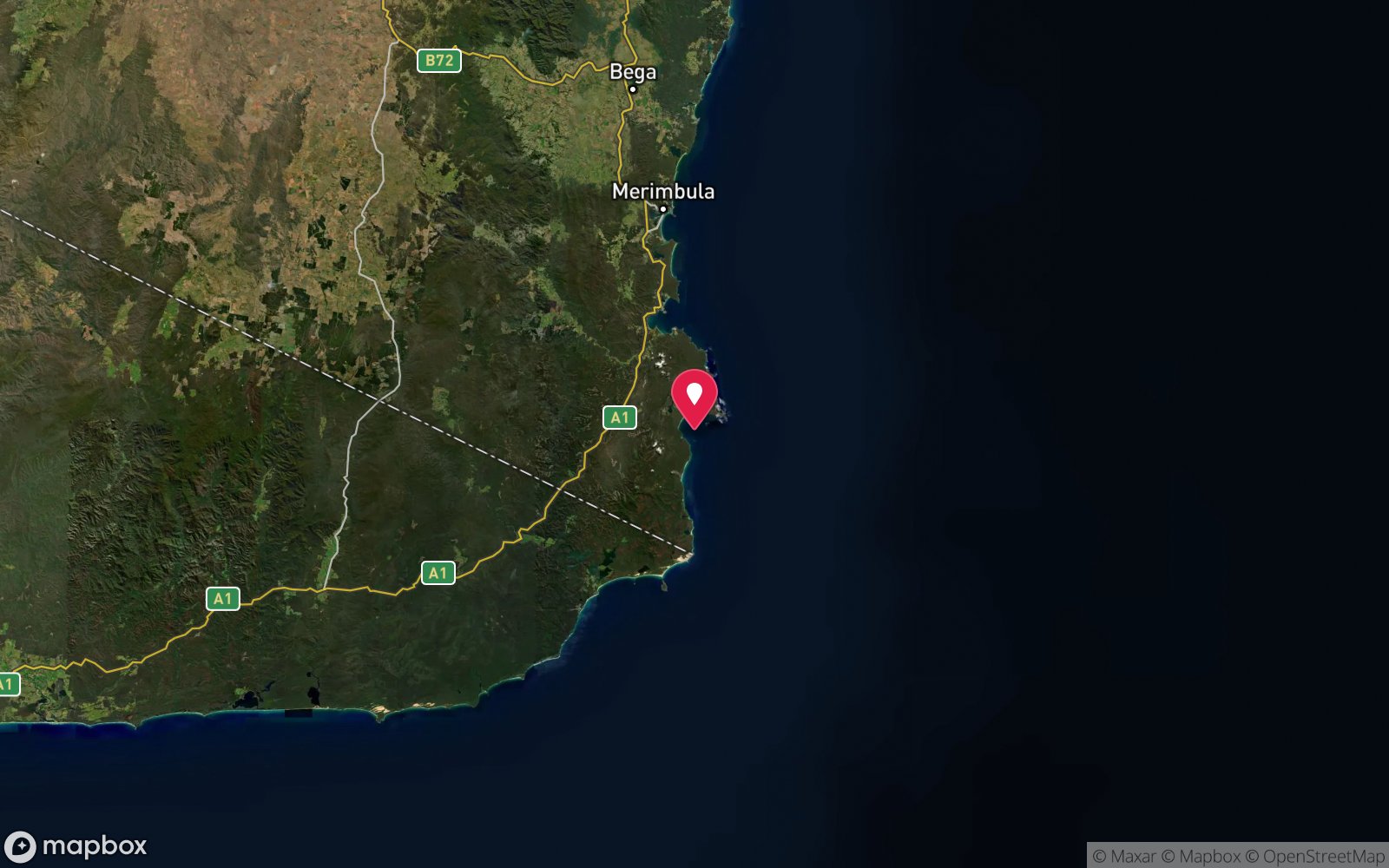
Granite island 14 km south-east of Mallacoota near the NSW border, with the second-tallest lighthouse in Australia; the sheltered Santa Barbara Bay on its north-western side has the island's only beach and jetty.
Boat or air only. Charter boats from Mallacoota – Mallacoota Fishing Charters and Tours, Wilderness Coast Charters (03 5158 0701) and Gabo Island Escapes – make the 14 km run in 30–45 minutes, weather permitting, landing at the Santa Barbara Bay jetty; they carry divers and gear by arrangement but do not guide dives. Private boats launch at the Bastion Point ocean ramp (swell-dependent) and cross the same water.
Merimbula Air Services flies visitors in for lighthouse stays, though not with dive gear. Santa Barbara Bay is the sheltered anchorage and dive area; the island's exposed southern and eastern sides face the Tasman Sea and are for calm days only. Parks Victoria manages the island and the lighthouse accommodation.
Entry: Giant stride from a charter or private boat in Santa Barbara Bay, or walk in from the beach/jetty if landed on the island
Facilities: Santa Barbara Bay jetty and beach; lighthouse-keeper's cottage accommodation (Parks Victoria, bookings 03 5158 0255); no store, water limited; Mallacoota for all supplies; no air fills
Weather, swell & tides
The crossing from Mallacoota and the island's exposed sides depend on swell: charters describe their services as weather dependent and advise flexibility, and easterly or southerly swell over 1.5 m stops them. Santa Barbara Bay faces north-west and is sheltered from the prevailing south-westerly and from Tasman swell, so it is diveable on most days that the boats run; the eastern and southern granite is for flat calms. Tidal flow is moderate around the island's points.
Late summer and autumn bring warm, clear East Australian Current water; whales pass May–November; penguins return to the colony at dusk year-round.
Best season: Late summer to autumn (Feb–May) for warm East Australian Current water and the calmest crossings
If it's blown out
Sheltered or shore sites within 25 km that often work when Gabo Island (Santa Barbara Bay) doesn't.
- Bastion Point (Mallacoota) · 13 km · Max 12 m
How the dive is usually run
From the boat or beach in Santa Barbara Bay, descend beside the jetty and work out along the granite on either side of the bay at 5–12 m, keeping the rock on one shoulder, through the kelp and boulders where the blue groper and banded morwong live; extend to 15–20 m at the bay's mouth in calm conditions. Turn at half gas, return along the same rocks and finish at the jetty, watching for the resident rays and dolphins.
Marine life
- Blue groper →
- banded morwong
- wrasses
- sweep
- luderick
- drummer
- leatherjackets
- abalone
- sea urchins
- southern rock lobster
- stingrays
- dolphins
- Australian fur seals →
- little penguins
- sponges and ascidians
- bull kelp
- tropical strays in summer
Linked species have their own page listing every site where they are recorded. All marine life →
Training required
Beyond 18 m an Advanced certification (which includes a deep dive to 30 m) is the accepted minimum. Anything past 25 m is a deep dive in practice.
Open Water divers can dive the shallower section (typical depth 10 m); the full site to 20 m needs Advanced Open Water. Operators often quote Open Water.
Operators' own listing: Open Water.
Courses that help here
- Drysuit Diver – Cold water; locals dive dry for much of the year.
Depth tiers: 0–10 m easy · to 18 m Open Water · 18–30 m Advanced (25 m+ is a deep dive) · 30–40 m Deep specialty · 40 m+ technical. All courses
Hazards & warnings
Weather-dependent 14 km crossing; exposed Tasman coasts on the island's south and east; moderate tidal flow at the points; no dive services or air in Mallacoota; charters do not guide; seals and sharks; penguin colony – stay on tracks ashore; Cape Howe MNP no-take to the east.
Dive centres that go here
No dive operator. Mallacoota Fishing Charters and Tours, Wilderness Coast Charters and Gabo Island Escapes provide boat transport to the island (weather dependent) and will carry divers by arrangement; diving is self-guided. No air in Mallacoota.
Operators recorded for Gabo Island (Santa Barbara Bay)
Wilderness Coast Charters
Named by sitesMallacoota · East Gippsland · VIC
Still listed by Visit Mallacoota as one of three Mallacoota charter boats for Gabo Island, but no website, socials or dated reviews found.
(03) 5158 0701
Gabo Island Escapes
Reported closedEast Gippsland · VIC
TripAdvisor lists it as permanently closed with the last review in February 2020; the domain no longer resolves.
Other dive centres in East Gippsland
Dive La Trobe
Named by sitesBundoora · Wilsons Promontory · VIC
University dive club (est. 1968), not a shop; runs SDI courses.
divelatrobe.org.au
SEADS
Named by sitesBass Coast · VIC
No entity called SEADS found; the closest match is a South East Dive Facebook page at Cape Woolamai.
Jeff Cross Diving Services
Named by sitesEast Gippsland · VIC
No web presence, listing or review found.
Map
7 pinned sites. Pins marked approximate on their pages show the general area only; not for navigation.
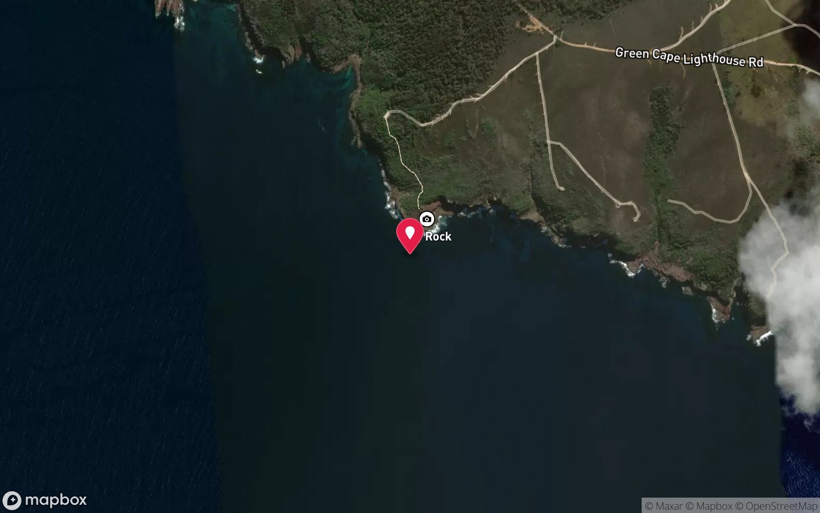
Satellite views
Gabo Island (Santa Barbara Bay): frequently asked questions
How deep is Gabo Island (Santa Barbara Bay)?
Gabo Island (Santa Barbara Bay) reaches a maximum depth of 20 m, with the shallowest part at about 3 m; most of the dive is spent around 10 m.
What certification do I need to dive Gabo Island (Santa Barbara Bay)?
Advanced Open Water is the recommended minimum. Open Water divers can dive the shallower section (typical depth 10 m); the full site to 20 m needs Advanced Open Water. Operators often quote Open Water. Rated intermediate because of depth beyond 18 m, cold water.
Can I shore dive Gabo Island (Santa Barbara Bay)?
No, it is reached by boat (about 40 minutes). A dive centre is required: boat access only.
When is the best time to dive Gabo Island (Santa Barbara Bay)?
Late summer to autumn (Feb–May) for warm East Australian Current water and the calmest crossings.
What marine life will I see at Gabo Island (Santa Barbara Bay)?
Regularly recorded: Blue groper, banded morwong, wrasses, sweep, luderick, drummer, leatherjackets, abalone, sea urchins, southern rock lobster, stingrays, dolphins and more.
What wetsuit do I need at Gabo Island (Santa Barbara Bay)?
7mm semi-dry or 5mm with hood in late summer; drysuit or 7mm in winter.
How cold is the water at Gabo Island (Santa Barbara Bay)?
Typically 19-22 °C in summer and 14-16 °C in winter.
What are the main hazards at Gabo Island (Santa Barbara Bay)?
Weather-dependent 14 km crossing; exposed Tasman coasts on the island's south and east; moderate tidal flow at the points; no dive services or air in Mallacoota; charters do not guide; seals and sharks; penguin colony – stay on tracks ashore; Cape Howe MNP no-take to the east. See the hazards section above for the full list.
Where is the nearest recompression chamber to Gabo Island (Santa Barbara Bay)?
Prince of Wales Hospital (Sydney) – contact DAN/000; The Alfred (Melbourne) is further by road. In an emergency call 000, then DAN Asia-Pacific on 1800 088 200.
Diving in East Gippsland
Mallacoota and the far east of Victoria have clear water, Gabo Island's seals and the reefs of the Croajingolong coast, dived by locals and visiting clubs with their own boats.
Getting there: Six hours from Melbourne; private boats and the Mallacoota inlet shore dives.
Sources
- visitmallacoota.com.au/explore/gabo-island
- visitmallacoota.com.au/things-to-do/adventure-sport/diving
Data confidence: Low · Being verified: Depths, coordinates and marine life inferred from tourism sources and geography – no dive-specific site page; confirm charter policies on carrying divers. Last updated September 2026. Know this site better? How to send a correction
Nearby dive sites
More island dives in Victoria
Explore more
This region
Similar dives