Dive slate · divesites.com.au · printed 7 Nov 2026
Katherine Sharer Wreck
Huon & Far South, Tasmania · near Dover
| Depth | 12–15 m |
|---|---|
| Minimum level | Open Water |
| Difficulty | Intermediate |
| Access | Boat (day trip) |
| Entry | Back roll or giant stride from charter boat |
| Current | None |
| Visibility | 5-12 m |
| Water | summer 14-18 °C, winter 10-13 °C |
| Suit | Drysuit strongly recommended year-round; 7 mm semi-dry or two-piece 7 mm wetsuit with hood and gloves is the minimum in summer |
| Best season | Late summer to autumn (February-May) for settled weather and best visibility; diveable year-round between fronts |
| Bottom time | 40 min |
| Position | -43.33500, 147.04500 (approximate) |
| Permit | Historic shipwreck – protected under Tasmanian and Commonwealth heritage law. |
| Nearest chamber | Royal Hobart Hospital Hyperbaric Medicine Unit (Hobart CBD); DAN emergency hotline 1800 088 200 |
| Emergency | 000 · DAN Asia-Pacific diving emergency 1800 088 200 |
Katherine Sharer Wreck
Also known as Katherine Sharer
Scattered remains of Tasmania's first major locally built trader, blown up in 1855 – also the site of the state's first sport dive (1944).
Near Dover · Huon & Far South, Tasmania
- Depth
- 12–15 m
- Minimum level
- Open Water
- Access
- Boat (day trip)
- Boat ride
- ~10 min
- Water
- 14-18 °C
- Visibility
- 5-12 m
Katherine Sharer Wreck12–15 m · Open Water
Dive factsDepths, conditions, location & safety
Season
Off-peak nowBest months: January, February, March, April, May, December.
Late summer to autumn (February-May) for settled weather and best visibility; diveable year-round between fronts
- Best months
- Now (November)
Dive facts
- Depth
- 12–15 m
- Typical depth
- 15 m
- Certification
- Open Water
- Difficulty
- Intermediate
- Depth tier
- Open Water (10–18 m)
- Access
- Boat (day trip)
- Offshore
- 0.5 km
- Dive centre needed
- Yes – boat access only
- Shore / independent
- No
- Boat ride
- ~10 min
- Current
- None
- Visibility
- 5-12 m
- Water temp (summer)
- 14-18 °C
- Water temp (winter)
- 10-13 °C
- Water
- Cold Temperate
- Bottom time
- 40 min
- Dive traffic
- Rarely dived (private boat/club only)
- Night dive
- No
- Snorkel friendly
- No
Exposure suit
Drysuit strongly recommended year-round; 7 mm semi-dry or two-piece 7 mm wetsuit with hood and gloves is the minimum in summer
Location
Port Esperance – Dover
-43.33500, 147.04500
Approximate position — not for navigation.
Open in Google MapsPrimary source: marinelife.org.auMarine park & permits
Historic shipwreck – protected under Tasmanian and Commonwealth heritage law.
Nearest recompression chamber
Royal Hobart Hospital Hyperbaric Medicine Unit (Hobart CBD); DAN emergency hotline 1800 088 200
Diving emergency: call 000, then DAN AP 1800 088 200.
Trip planner
Build a trip around Katherine Sharer Wreck →
A day-by-day plan for Huon & Far South with this site locked in.
This guide is a planning aid. Conditions change daily — confirm with a local dive centre and dive within your training. Data & safety notes.
Dive profile
How this site rates
Scores are computed from the recorded data, not opinions. How?
At a glance
Katherine Sharer Wreck is a wreck boat dive in Huon & Far South, TAS, 12–15 m, suited to Open Water divers, about 10 minutes by boat.
Rated intermediate because of boat traffic overhead, cold water.
Why dive here
- Scattered remains of Tasmania's first major locally built trader, blown up in 1855 – also the site of the state's first sport dive (1944).
- Sunk in 1855; protected as underwater cultural heritage, so look but do not touch.
- Rarely dived: expect to have the site to yourself, and plan your own logistics.
Conditions to avoid
- Strong southerly or south-east swell and wind
- Outgoing tide or run-off after rain (poor visibility)
About Katherine Sharer Wreck
The Katherine Sharer holds a special place in Tasmanian maritime and diving history. According to the Marine Life Network guide, she was the first major trading vessel constructed in Tasmania, built with teak beams resistant to shipworm, and she was destroyed by an explosion in Port Esperance on 6 June 1855. The wreck was also the site of Tasmania's first sport dive, in 1944, and of the state's first diving fatality, in 1858, during salvage work.
Today the remains are dispersed across the bottom in about 15 m, with scattered cargo and timbers; the explosion's force is shown by wreckage found some distance away on the Lomas Point reef. The teak beams have survived remarkably well because of their resistance to shipworm, and they are encrusted with marine growth – sponges, ascidians and algae – that shelters fish and invertebrates. Leatherjackets, wrasse and small reef fish frequent the site.
It is a historical dive rather than a structural one: divers come to trace the scattered remains and appreciate the story. As a wreck of 1855 it is protected under heritage law; nothing may be disturbed or removed, and any finds should be reported. Port Esperance is relatively sheltered, so the site can be dived when the exposed far-south coast is rough.
Combine it with Lomas Point Reef nearby, where more debris from the explosion lies among the boulders. Divers with an interest in maritime archaeology should contact Heritage Tasmania for background before visiting. A torch helps to pick out the teak timbers and the growth on them.
Wreck details
Wooden trading vessel with teak beams (Tasmanian-built; dimensions unconfirmed) · Sunk 1855 · Protected historic shipwreck
Era: colonial sail and steam. Oldest wrecks · Wartime wrecks · Scuttled warships
Other wrecks of the same era
- Brahmin (King Island) · Max 7 m · King Island
- Litherland (Clarke Island) · Max 8 m · Flinders Island & Furneaux Group
- Kellys Rocks (Recherche Bay) · Max 15 m · Huon & Far South
- Cataraqui · Max 7 m · King Island
- Gaudelette (Cape Barren Island) · Max 8 m · Flinders Island & Furneaux Group
- Netherby · Max 5 m · King Island
Getting there & entry
Scattered remains of the Katherine Sharer, destroyed by an explosion on 6 June 1855, lying in about 15 m off the southern side of Port Esperance near Lomas Point.
Dover is on the Huon Highway about 85 km (1 hour 20 minutes) south of Hobart via Huonville and Geeveston. There are boat ramps and jetties at Dover and around Port Esperance. The wreck lies in Port Esperance near Lomas Point on the bay's southern side, a short boat run from Dover.
The site is dispersed; use a sounder and local knowledge to locate it, and anchor clear of the wreckage.
Entry: Back roll or giant stride from charter boat
Facilities: Dover ramp, store and fuel; fills in Hobart or Kingston.
Weather, swell & tides
The far south – Port Esperance, Southport and Recherche Bay – opens southward to the Southern Ocean. Southerly and south-westerly swell and strong southerly winds make the exposed sites unworkable and quickly reduce visibility, while northerly and light westerly winds give calm water. Sheltered bays such as Port Esperance and inner Recherche Bay remain diveable in moderate conditions.
Weather changes rapidly and fronts arrive every few days; plan around high-pressure systems in late summer and autumn and watch for south-westerly changes. Port Esperance is relatively sheltered, so the wreck can be dived in moderate conditions that close the outer sites.
Best season: Late summer to autumn (February-May) for settled weather and best visibility; diveable year-round between fronts
If it's blown out
Sheltered or shore sites within 25 km that often work when Katherine Sharer Wreck doesn't.
- Blubber Head (Port Esperance) · 4 km · Max 10 m
- Partridge Island · 8 km · Max 10 m
- Southport Convict Cemetery · 12 km · Max 10 m
- Ninepin Point Marine Reserve · 12 km · Max 10 m
How the dive is usually run
Descend to the main concentration of timbers at 15 m, then search outward in a pattern for scattered cargo and fittings, returning to the anchor. Continue towards Lomas Point to see more debris thrown by the explosion.
Marine life
- Sponges
- ascidians
- algae on timbers
- leatherjackets
- wrasse
- small reef fish
Linked species have their own page listing every site where they are recorded. All marine life →
Training required
Within the 18 m limit of an entry-level certification.
Courses that help here
- Drysuit Diver – Cold water; locals dive dry for much of the year.
- Peak Performance Buoyancy – Silt and low visibility punish poor trim.
Depth tiers: 0–10 m easy · to 18 m Open Water · 18–30 m Advanced (25 m+ is a deep dive) · 30–40 m Deep specialty · 40 m+ technical. All courses
Hazards & warnings
Protected historic wreck – no disturbance or removal; boat traffic near Dover; low visibility after rain.
Dive centres that go here
No regular operator; private boats and club expeditions. Underwater Adventures Tasmania runs occasional far-south trips (the Acteons are mentioned by Go Dive Tasmania as a kelp-diving area).
Operators recorded for Katherine Sharer Wreck
Other dive centres in Huon & Far South
Go Dive Tasmania
ListedHobart · Hobart & Derwent · TAS
A Tasmanian business providing training, equipment and service support for cold-water diving.
godivetas.com.au · (03) 6231 9749
Tasmanian Divers North
ListedLaunceston · Tasmania North & North-West · TAS
A northern Tasmanian operation serving the Bass Strait coastline and local diving community.
tasdivers.com.au · (03) 6229 1020
Map
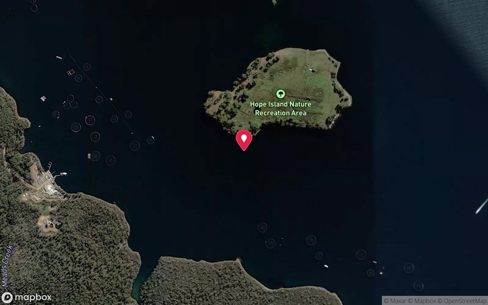
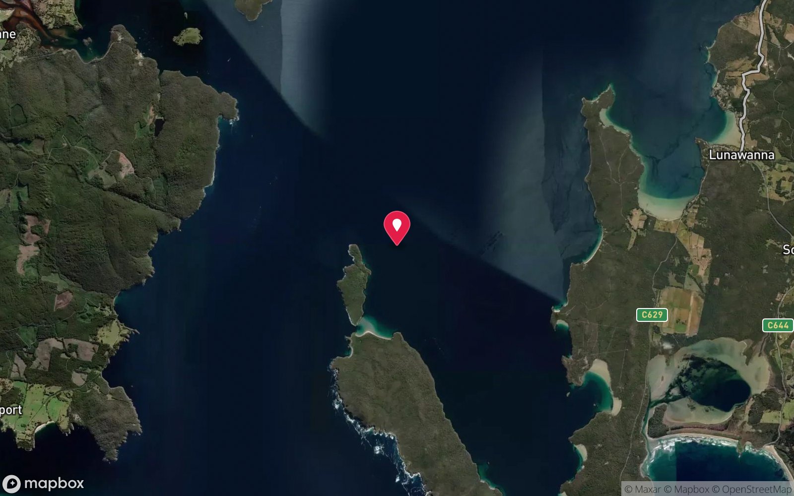
7 pinned sites. Pins marked approximate on their pages show the general area only; not for navigation.
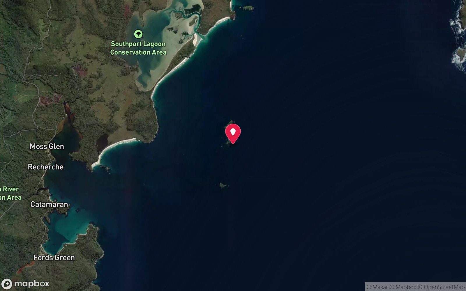
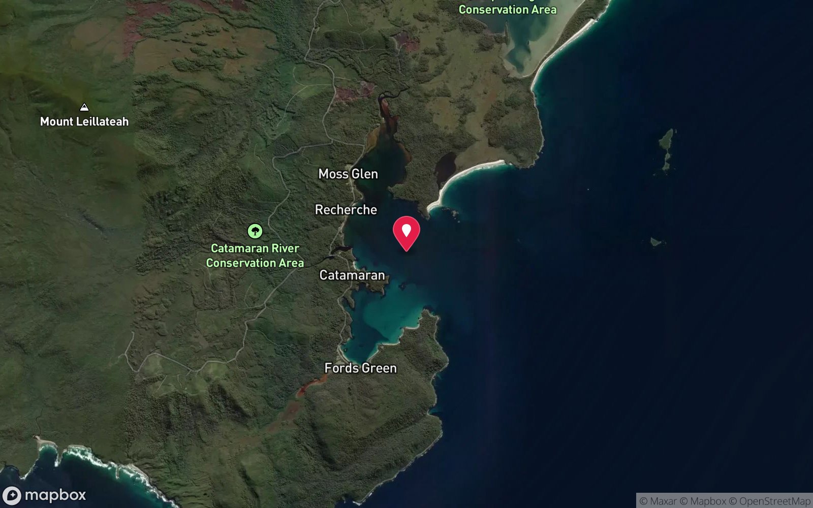
Satellite views
Katherine Sharer Wreck: frequently asked questions
How deep is Katherine Sharer Wreck?
Katherine Sharer Wreck reaches a maximum depth of 15 m, with the shallowest part at about 12 m; most of the dive is spent around 15 m.
What certification do I need to dive Katherine Sharer Wreck?
Open Water is the recommended minimum. Rated intermediate because of boat traffic overhead, cold water.
Can I shore dive Katherine Sharer Wreck?
No, it is reached by boat (about 10 minutes). A dive centre is required: boat access only.
When is the best time to dive Katherine Sharer Wreck?
Late summer to autumn (February-May) for settled weather and best visibility; diveable year-round between fronts.
What marine life will I see at Katherine Sharer Wreck?
Regularly recorded: Sponges, ascidians, algae on timbers, leatherjackets, wrasse, small reef fish.
What wetsuit do I need at Katherine Sharer Wreck?
Drysuit strongly recommended year-round; 7 mm semi-dry or two-piece 7 mm wetsuit with hood and gloves is the minimum in summer.
How cold is the water at Katherine Sharer Wreck?
Typically 14-18 °C in summer and 10-13 °C in winter.
What are the main hazards at Katherine Sharer Wreck?
Protected historic wreck – no disturbance or removal; boat traffic near Dover; low visibility after rain. See the hazards section above for the full list.
Where is the nearest recompression chamber to Katherine Sharer Wreck?
Royal Hobart Hospital Hyperbaric Medicine Unit (Hobart CBD); DAN emergency hotline 1800 088 200. In an emergency call 000, then DAN Asia-Pacific on 1800 088 200.
Diving in Huon & Far South
South of Hobart the Huon estuary and the far south coast around Cockle Creek, Recherche Bay and Southport are cold, wild and rarely dived, with wrecks, kelp and clear water when the weather allows. Maatsuyker Island, off the south coast, is an expedition destination.
Getting there: One to two hours south of Hobart; private boats and occasional club trips.
Sources
Data confidence: Low · Being verified: Position unpublished; historical claims from a single source.. Last updated September 2026. Know this site better? How to send a correction