Dive slate · divesites.com.au · printed 9 Nov 2026
Piccaninnie Ponds
Mount Gambier Sinkholes & Caves, South Australia · near Mount Gambier
| Depth | 0–10 m |
|---|---|
| Minimum level | Cave/Cavern certification |
| Difficulty | Intermediate |
| Access | Shore |
| Entry | Timber platform/steps into the First Pond; divers' changing shelter nearby |
| Current | None |
| Visibility | 30-60 m |
| Water | summer 14-15 °C, winter 14-15 °C |
| Suit | Drysuit strongly recommended (constant ~14-15°C groundwater, long dives); 7 mm wetsuit with hood minimum for short dives |
| Best season | Year-round (constant groundwater temperature); summer/autumn gives warmer surface intervals; forestry sites close on Total Fire Ban days |
| Bottom time | 50 min |
| Position | -38.04900, 140.94500 (approximate) |
| Permit | National Parks SA (DEW) snorkel/dive permit required – currently NOT being issued (closed until further notice); Ramsar-listed conservation park |
| Nearest chamber | Royal Adelaide Hospital hyperbaric medicine unit (Adelaide) – about 450 km by road from Mount Gambier; evacuation is normally by aeromedical retrieval (RFDS/MedSTAR) via Mount Gambier Hospital. The Alfred (Melbourne) is a similar distance. DAN/Divers Emergency Service 1800 088 200. |
| Emergency | 000 · DAN Asia-Pacific diving emergency 1800 088 200 |
Piccaninnie Ponds
Also known as Pics, Piccaninnie Ponds – First Pond (5L72), Piccaninnie Ponds Conservation Park
The approach to Australia's most famous sinkhole: weed meadows in near-perfect visibility leading to the lip of a 100 m+ chasm.
Near Mount Gambier · Mount Gambier Sinkholes & Caves, South Australia
- Depth
- 0–10 m
- Minimum level
- Cave/Cavern certification
- Access
- Shore
- Boat ride
- —
- Water
- 14-15 °C
- Visibility
- 30-60 m
Piccaninnie Ponds0–10 m · Cave/Cavern certification · Shore
Dive factsDepths, conditions, location & safety
Season
In season nowBest months: year-round.
Year-round (constant groundwater temperature); summer/autumn gives warmer surface intervals; forestry sites close on Total Fire Ban days
- Best months
- Now (November)
Dive facts
- Depth
- 0–10 m
- Typical depth
- 10 m
- Certification
- Cave/Cavern certification
- Difficulty
- Intermediate
- Depth tier
- Easy (0–10 m)
- Access
- Shore
- Dive centre needed
- Yes – permit/guide required
- Shore / independent
- No
- Current
- None
- Visibility
- 30-60 m
- Water temp (summer)
- 14-15 °C
- Water temp (winter)
- 14-15 °C
- Water
- Cold Freshwater
- Bottom time
- 50 min
- Dive traffic
- Rarely dived (private boat/club only)
- Night dive
- No
- Snorkel friendly
- Yes
Exposure suit
Drysuit strongly recommended (constant ~14-15°C groundwater, long dives); 7 mm wetsuit with hood minimum for short dives
Location
Piccaninnie Ponds Conservation Park · Limestone Coast – Mount Gambier sinkholes & caves
-38.04900, 140.94500
Approximate position — not for navigation.
Open in Google MapsPrimary source: parks.sa.gov.auMarine park & permits
National Parks SA (DEW) snorkel/dive permit required – currently NOT being issued (closed until further notice); Ramsar-listed conservation park
Nearest recompression chamber
Royal Adelaide Hospital hyperbaric medicine unit (Adelaide) – about 450 km by road from Mount Gambier; evacuation is normally by aeromedical retrieval (RFDS/MedSTAR) via Mount Gambier Hospital. The Alfred (Melbourne) is a similar distance. DAN/Divers Emergency Service 1800 088 200.
Diving emergency: call 000, then DAN AP 1800 088 200.
Trip planner
Build a trip around Piccaninnie Ponds →
A day-by-day plan for Mount Gambier Sinkholes & Caves with this site locked in.
This guide is a planning aid. Conditions change daily — confirm with a local dive centre and dive within your training. Data & safety notes.
Dive profile
How this site rates
Scores are computed from the recorded data, not opinions. How?
At a glance
Piccaninnie Ponds is a sinkhole / cenote dive in Mount Gambier Sinkholes & Caves, SA, 0–10 m, suited to Cave/Cavern certification divers.
Rated intermediate because of an overhead environment, cold water.
Why dive here
- The approach to Australia's most famous sinkhole: weed meadows in near-perfect visibility leading to the lip of a 100 m+ chasm.
- Snorkel-friendly, so non-diving companions can join at the surface.
- Rarely dived: expect to have the site to yourself, and plan your own logistics.
- Visibility often reaches 30-60 m.
Conditions to avoid
- Outgoing tide or run-off after rain (poor visibility)
About Piccaninnie Ponds
Piccaninnie Ponds is the best-known freshwater dive in Australia and one of the reasons Mount Gambier appears on cave-diving bucket lists. The park protects a spring-fed karst wetland listed under the Ramsar Convention, where groundwater from the Gambier limestone aquifer emerges so filtered that visibility has been described as some of the clearest anywhere. The system has three named features: the First Pond, an open depression about 10 m deep with a silty floor; the Chasm, a narrow sinkhole dropping beyond 100 m; and the Cathedral, an enclosed cavern about 35 m deep with sculpted white limestone walls.
The First Pond is the approach to everything else. You glide over meadows of bright green aquatic plants, stonewort and algae that sway in the gentle spring flow, with small native fish, eels and freshwater shrimp among the stems. The silt floor is fine and easily raised, which is why the permit system insisted on full-length wetsuits, no standing and careful finning. Snorkellers could float the length of the pond and look down into the Chasm's blue void; divers used it as a shallow warm-up before going deeper.
The ponds have a sombre history – several divers died here between 1969 and 1984, part of the run of fatalities that led to the formation of the Cave Divers Association of Australia and the site-grading system still used today. More recently the ponds have suffered from falling groundwater and a filamentous algae outbreak, and National Parks SA has closed the ponds to diving and snorkelling until further notice while the vegetation regenerates. When it reopens it will again suit careful snorkellers and CDAA-rated divers; for now it is a walk-and-look site with boardwalks and viewing points.
Getting there & entry
Spring-fed karst wetland and Ramsar site about 32 km south-east of Mount Gambier near the Victorian border; the First Pond is an open 10 m depression that leads to the Chasm and the Cathedral.
From Mount Gambier take regional roads south-east towards Wye and the SA–Victoria border (about 32 km), then turn onto Piccaninnie Ponds Road to the signed park entrance. Park in the sealed car park (bus parking available), walk the short boardwalk/track (a couple of hundred metres) to the ponds with gear; there is a divers' changing shelter and interpretive shelter. Mobile coverage is unreliable, so print your permit.
The park is free to enter, but water entry needs a DEW permit – and at the time of writing no permits are being issued.
Entry: Timber platform/steps into the First Pond; divers' changing shelter nearby
Facilities: Car and bus parking, toilets including accessible toilet, interpretive shelter, divers' changing shelter, walking trails/boardwalk; no camping, drinking water or bins. Fills and hire in Mount Gambier.
Weather, swell & tides
Weather has little effect underwater – there is no swell, current or tide – but surface conditions matter for the long gear carry and surface intervals. After very heavy winter rain surface run-off can cloud the upper few metres. Summer brings the best light shafts around midday and algae growth in the shallows.
Private and forestry land may be closed on declared Total Fire Ban days (common December-March), so check the CFS fire-ban forecast the night before. Groundwater levels in the Lower South East have been falling, which has caused closures of the DEW ponds sites in recent seasons. Piccaninnie Ponds is presently closed for all immersive activities because of a filamentous algae outbreak and reduced groundwater inflow; check the National Parks SA alerts page before planning.
Best season: Year-round (constant groundwater temperature); summer/autumn gives warmer surface intervals; forestry sites close on Total Fire Ban days
If it's blown out
Sheltered or shore sites within 25 km that often work when Piccaninnie Ponds doesn't.
- Ewens Ponds · 14 km · Max 10 m
- Port MacDonnell Breakwater · 21 km · Max 5 m
- Racecourse Bay (Port MacDonnell) · 25 km · Max 5 m
How the dive is usually run
When open: enter from the platform, fin slowly across the First Pond over the weed beds at 3-8 m, keeping well off the silt floor, and follow the channel to the lip of the Chasm. Divers within grade drop over the Chasm lip (see separate row); snorkellers and those not continuing turn at the lip and return along the opposite side of the pond. Slots were one hour, so plan a 45-50 minute dive.
Marine life
- Aquatic plants and stoneworts
- filamentous algae
- short-finned eels
- freshwater shrimp
- freshwater crayfish (yabbies)
- crabs
- pygmy perch and other small native fish
- diving beetles
Linked species have their own page listing every site where they are recorded. All marine life →
Training required
Shallow enough for snorkellers and for a first dive under supervision. Any certified diver can dive it.
Courses that help here
- Cavern Diver – An overhead environment.
- Drysuit Diver – Cold water; locals dive dry for much of the year.
- Peak Performance Buoyancy – Silt and low visibility punish poor trim.
Depth tiers: 0–10 m easy · to 18 m Open Water · 18–30 m Advanced (25 m+ is a deep dive) · 30–40 m Deep specialty · 40 m+ technical. All courses
Hazards & warnings
CLOSED to diving and snorkelling until further notice (algae outbreak, low groundwater). Fine silt – no standing, no touching plants. Several fatalities historically in the deeper areas.
Unreliable mobile reception. Cold water.
Technical notes
CDAA grade: Basic Cave (5L72) – scuba permits only for CDAA members rated at sinkhole/Basic Cave level; snorkel permits open to anyone. Historical permit conditions: min 2 / max 4 per group, max 8 people per one-hour slot, max two slots per person per day, divers book 10+ days ahead with DEW indemnity (valid one financial year, re-submit after upgrading grade). First Pond itself has no overhead.
Dive centres that go here
Currently closed to diving and snorkelling. When open, snorkel permits were available to anyone and scuba permits only to CDAA members rated at sinkhole (Basic Cave) level; Diving Adelaide, Dive Experience and CDAA instructors ran trips. No operator can take divers while the closure stands.
Operators recorded for Piccaninnie Ponds
Dive Experience
ProfiledMount Gambier · Mount Gambier Sinkholes & Caves · SA
A Mount Gambier business serving the region's cave and sinkhole diving community, including equipment and gas support.
dive-experience.com.au · 0478 693 760
Diving Adelaide
ListedMarleston · Adelaide Metro · SA
An Adelaide training and guided diving operation serving local sites and organised trips.
divingadelaide.com.au · (08) 8122 5003
Other dive centres in Mount Gambier Sinkholes & Caves
Deep Blue Ventures
Named by sitesMcCrae · Mount Gambier Sinkholes & Caves · SA
Victoria-based technical/cave training operator running Mount Gambier courses (Kilsby-approved).
deepblueventures.com.au · 0413 429 533
Total Immersion Diving
Named by sitesMount Gambier Sinkholes & Caves · SA
Kilsby Sinkhole approved operator running CDAA cave courses in Mount Gambier; Facebook-only presence.
Reef 2 Ridge
Reported closedMount Gambier · Mount Gambier Sinkholes & Caves · SA
TripAdvisor marks it temporarily closed until further notice with the last review in 2018; the SDFSA directory lists only Dive Experience for Mount Gambier.
Map
7 pinned sites. Pins marked approximate on their pages show the general area only; not for navigation.
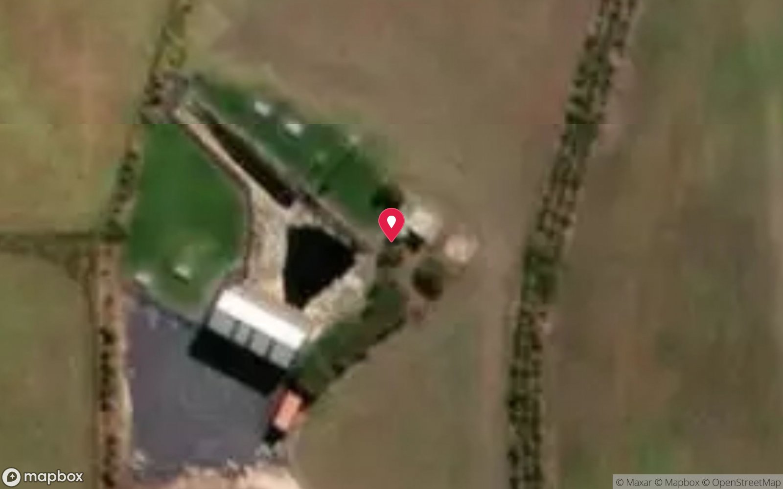
Satellite views
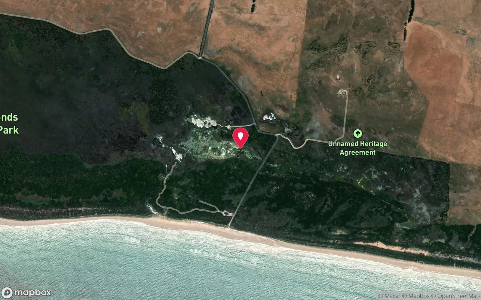
Piccaninnie Ponds: frequently asked questions
How deep is Piccaninnie Ponds?
Piccaninnie Ponds reaches a maximum depth of 10 m, with the shallowest part at about 0 m; most of the dive is spent around 10 m.
What certification do I need to dive Piccaninnie Ponds?
Cave/Cavern certification is the recommended minimum. Rated intermediate because of an overhead environment, cold water.
Can I shore dive Piccaninnie Ponds?
No, it is reached by boat. A dive centre is required: permit/guide required.
When is the best time to dive Piccaninnie Ponds?
Year-round (constant groundwater temperature); summer/autumn gives warmer surface intervals; forestry sites close on Total Fire Ban days.
What marine life will I see at Piccaninnie Ponds?
Regularly recorded: Aquatic plants and stoneworts, filamentous algae, short-finned eels, freshwater shrimp, freshwater crayfish (yabbies), crabs, pygmy perch and other small native fish, diving beetles.
What wetsuit do I need at Piccaninnie Ponds?
Drysuit strongly recommended (constant ~14-15°C groundwater, long dives); 7 mm wetsuit with hood minimum for short dives.
How cold is the water at Piccaninnie Ponds?
Typically 14-15 °C in summer and 14-15 °C in winter.
What are the main hazards at Piccaninnie Ponds?
CLOSED to diving and snorkelling until further notice (algae outbreak, low groundwater). See the hazards section above for the full list.
Where is the nearest recompression chamber to Piccaninnie Ponds?
Royal Adelaide Hospital hyperbaric medicine unit (Adelaide) – about 450 km by road from Mount Gambier; evacuation is normally by aeromedical retrieval (RFDS/MedSTAR) via Mount Gambier Hospital. The Alfred (Melbourne) is a similar distance. DAN/Divers Emergency Service 1800 088 200. In an emergency call 000, then DAN Asia-Pacific on 1800 088 200.
Diving in Mount Gambier Sinkholes & Caves
The limestone around Mount Gambier is riddled with water-filled sinkholes and caves, and they are the heart of Australian cave diving. Kilsby Sinkhole (65 m, clear as air), the Shaft (124 m), Piccaninnie Ponds' Chasm and Cathedral, Ewens Ponds' spring-fed creek, and the Tank Cave system with more than 8 km of passage. Most sites require Cave Divers Association of Australia rating; Kilsby and Ewens are open to recreational divers by booking.
Getting there: Five hours south-east of Adelaide or four from Melbourne. Sites are on private farmland or in national parks; all need bookings, some need guides.
All Mount Gambier Sinkholes & Caves dive sites and a suggested itinerary →
Sources
- parks.sa.gov.au/parks/piccaninnie-ponds-conservation-park
- mountgambierpoint.com.au/attractions/piccaninnie-ponds
- cavedivers.com.au/index.cfm?leca=1831&module=BUSINESSDIRECTORY&pageMode=indiv&action=details&page_id=1403310
- vk5parks.com/uploads/1/3/9/8/13982788/piccaninnie_ponds_conservation_park.pdf
- en.wikivoyage.org/wiki/Diving_in_South_Australia
- scuba.com/blog/dive-craters-sinkholes-mount-gambier
Data confidence: High · Being verified: Closure status changes – check parks.sa.gov.au alerts. Coordinates approximate.. Last updated September 2026. Know this site better? How to send a correction
Nearby dive sites
More sinkhole/cenote dives in South Australia
Explore more
This region