Dive slate · divesites.com.au · printed 7 Nov 2026
Sugarloaf Bay / Boat Beach (Seal Rocks shore)
Forster & Seal Rocks, New South Wales · near Seal Rocks
| Depth | 2–10 m |
|---|---|
| Minimum level | Snorkel/Any |
| Difficulty | Beginner |
| Access | Shore |
| Entry | Wade/sand entry from Boat Beach or the other sheltered village beaches |
| Current | None |
| Visibility | 5-15 m |
| Water | summer 22-25 °C, winter 17-20 °C |
| Suit | 3-5 mm steamer summer; 5-7 mm full suit or semi-dry winter |
| Best season | Summer for warmest water and calmest conditions |
| Bottom time | 40 min |
| Position | -32.43700, 152.53500 (approximate) |
| Permit | None required |
| Nearest chamber | Prince of Wales Hospital (Randwick, Sydney) — John Hunter Hospital Newcastle has no recompression chamber |
| Emergency | 000 · DAN Asia-Pacific diving emergency 1800 088 200 |
Sugarloaf Bay / Boat Beach (Seal Rocks shore)
Also known as Boat Beach, Sugarloaf Bay, Number One Beach, Lighthouse Bay
Seal Rocks village's sheltered sandy bays, offering easy shore/snorkel access as a low-key alternative to the boat-only offshore island sites.
Near Seal Rocks · Forster & Seal Rocks, New South Wales
- Depth
- 2–10 m
- Minimum level
- Snorkel/Any
- Access
- Shore
- Boat ride
- Shore entry
- Water
- 22-25 °C
- Visibility
- 5-15 m
Sugarloaf Bay / Boat Beach (Seal Rocks shore)2–10 m · Snorkel/Any · Shore
Dive factsDepths, conditions, location & safety
Season
Off-peak nowBest months: January, February, December.
Summer for warmest water and calmest conditions
- Best months
- Now (November)
- Stinger suit Nov–May
Dive facts
- Depth
- 2–10 m
- Typical depth
- 6 m
- Certification
- Snorkel/Any
- Difficulty
- Beginner
- Depth tier
- Easy (0–10 m)
- Access
- Shore
- Offshore
- 0.05 km
- Dive centre needed
- No – independently diveable
- Shore / independent
- Yes
- Current
- None
- Visibility
- 5-15 m
- Water temp (summer)
- 22-25 °C
- Water temp (winter)
- 17-20 °C
- Water
- Subtropical
- Bottom time
- 40 min
- Dive traffic
- Moderate (occasional charters/club dives)
- Night dive
- Possible
- Snorkel friendly
- Yes
Exposure suit
3-5 mm steamer summer; 5-7 mm full suit or semi-dry winter
Location
Seal Rocks · NSW Mid North Coast — Forster/Tuncurry & Seal Rocks
-32.43700, 152.53500
Approximate position — not for navigation.
Open in Google MapsPrimary source: en.wikipedia.orgMarine park & permits
None required
Nearest recompression chamber
Prince of Wales Hospital (Randwick, Sydney) — John Hunter Hospital Newcastle has no recompression chamber
Diving emergency: call 000, then DAN AP 1800 088 200.
Trip planner
Build a trip around Sugarloaf Bay / Boat Beach (Seal Rocks shore) →
A day-by-day plan for Forster & Seal Rocks with this site locked in.
This guide is a planning aid. Conditions change daily — confirm with a local dive centre and dive within your training. Data & safety notes.
Dive profile
How this site rates
Scores are computed from the recorded data, not opinions. How?
At a glance
Sugarloaf Bay / Boat Beach (Seal Rocks shore) is a shore / rock platform shore dive you can do independently in Forster & Seal Rocks, NSW, 2–10 m, suitable for snorkellers and first-time divers.
Rated beginner: sheltered, shallow and manageable for a newly certified diver on a normal day, though note boat traffic overhead.
Why dive here
- Seal Rocks village's sheltered sandy bays, offering easy shore/snorkel access as a low-key alternative to the boat-only offshore island sites.
- Snorkel-friendly, so non-diving companions can join at the surface.
About Sugarloaf Bay / Boat Beach (Seal Rocks shore)
Seal Rocks village sits on a small, sheltered stretch of coast tucked in behind Sugarloaf Point, and its cluster of small sandy bays — Boat Beach, used by the local fishing fleet, along with Number One Beach and Lighthouse Bay nearby — provide the area's main shore-accessible water, in sharp contrast to the boat-only, swell-exposed diving at Big and Little Seal Rock just offshore. These bays are shallow and calm rather than dramatic, generally under ten metres, and see far more use for family swimming and snorkelling than for serious scuba diving, but they remain a genuine, easy option for divers staying in the village without their own boat, or as a fallback for a low-key dive on a day when weather rules out a trip to the main offshore sites. The famous Sugarloaf Point Lighthouse stands on the headland above, a well-known landmark and whale-watching point during the migration season, and its presence lends a scenic backdrop to what is otherwise a straightforward, unremarkable stretch of shallow sand and rock.
Marine life in the bays is limited compared with the offshore reefs — small fish, occasional rays and typical estuarine-influenced species rather than the sharks and pinnacle structure the area is famous for — and visiting divers specifically chasing Seal Rocks' signature grey nurse shark and cave-diving experiences should not expect to find them here. These bays are best understood as convenient, practical shore access for the village rather than a headline dive destination, valuable chiefly to campers and visitors without boat access wanting to get in the water.
Getting there & entry
A cluster of sheltered sandy bays at Seal Rocks village — Boat Beach, Number One Beach and Lighthouse Bay near Sugarloaf Point — offering the area's main shore-dive and snorkel access.
Seal Rocks village is reached via Mungo Brush Road/Lakes Way through Myall Lakes National Park. Park near Boat Beach, the village's small sheltered cove used by local fishing boats, or at Number One Beach or Lighthouse Bay nearby, and carry gear a short distance to the sand for an easy wade-in entry. These bays are well protected from the swell that hits the open Sugarloaf Point headland, making them the default option when boat access to Big/Little Seal Rock is not required.
Entry: Wade/sand entry from Boat Beach or the other sheltered village beaches
Facilities: Limited — small village with a caravan park, camping ground and basic amenities; no dedicated dive shop.
Weather, swell & tides
These village bays are well sheltered by the Sugarloaf Point headland and are diveable in a wider range of conditions than the exposed offshore islands, though visibility is generally more modest given the shallow, sandy setting. A reliable fallback when boat trips to Big/Little Seal Rock are cancelled.
Best season: Summer for warmest water and calmest conditions
How the dive is usually run
Wade in from Boat Beach or one of the neighbouring sheltered beaches and explore the shallow sand and rock margins close to shore; a casual, low-key snorkel or shore dive rather than one with a fixed route.
Marine life
- Small estuarine-influenced fish
- occasional rays
- general shallow sand-and-rock fauna
Linked species have their own page listing every site where they are recorded. All marine life →
Training required
Shallow enough for snorkellers and for a first dive under supervision. Any certified diver can dive it.
Depth tiers: 0–10 m easy · to 18 m Open Water · 18–30 m Advanced (25 m+ is a deep dive) · 30–40 m Deep specialty · 40 m+ technical. All courses
Hazards & warnings
Minimal in calm conditions; boat traffic near Boat Beach given its use by local fishing vessels.
Dive centres that go here
No dedicated dive shop in Seal Rocks village; used informally by campers, snorkellers and divers with their own gear, and occasionally by Forster Dive Centre for shore-based options.
Other dive centres in Forster & Seal Rocks
All dive centres in New South Wales →
Operators mentioned: No dedicated local operator — book Forster Dive Centre for boat sites
Map
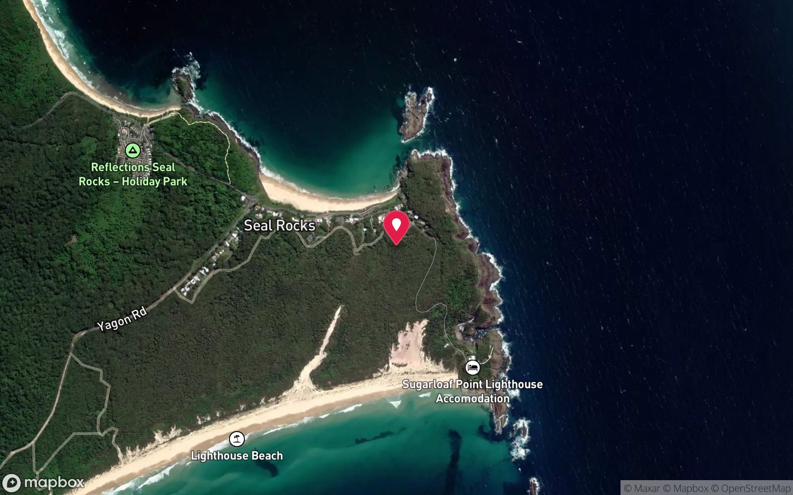
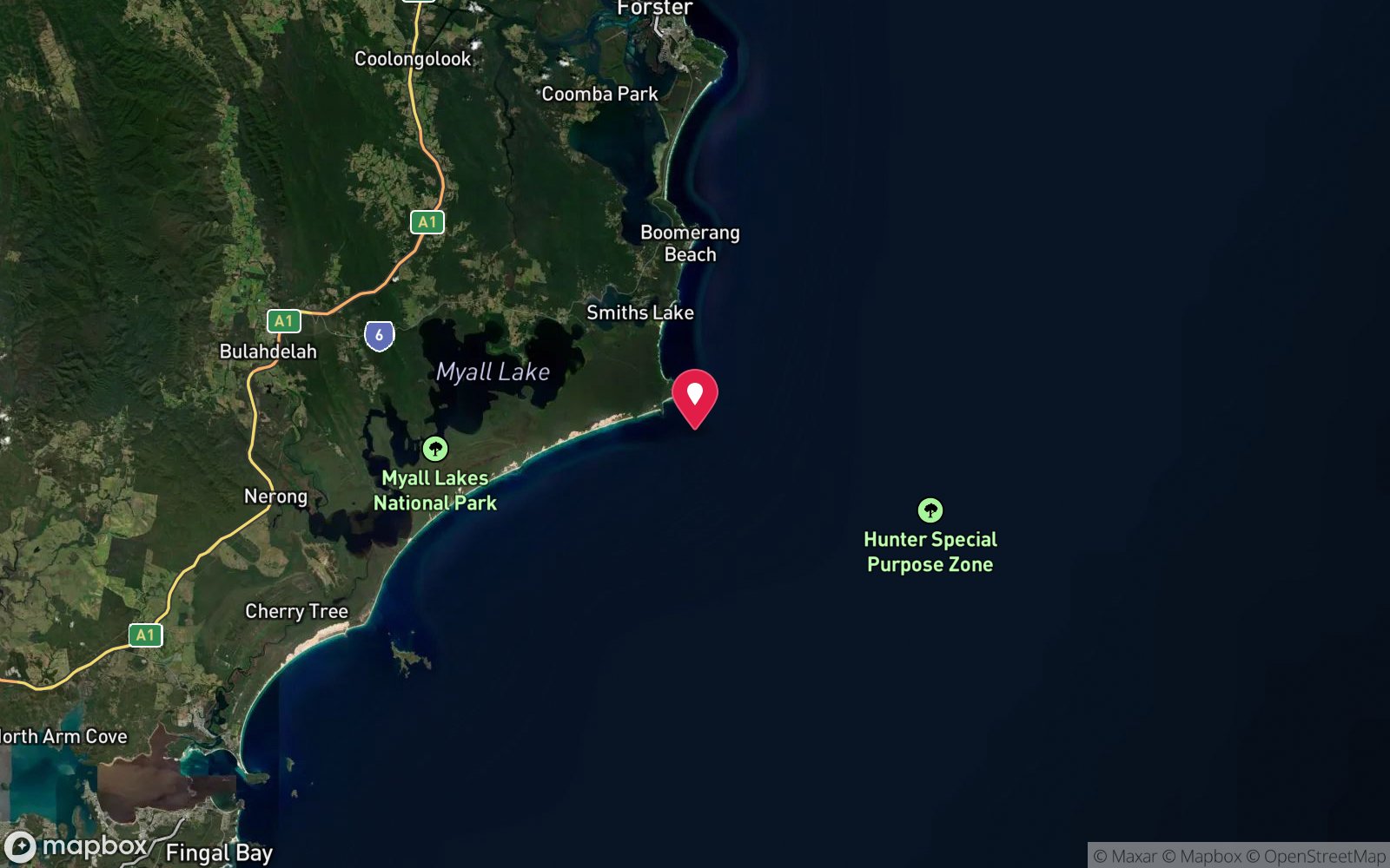
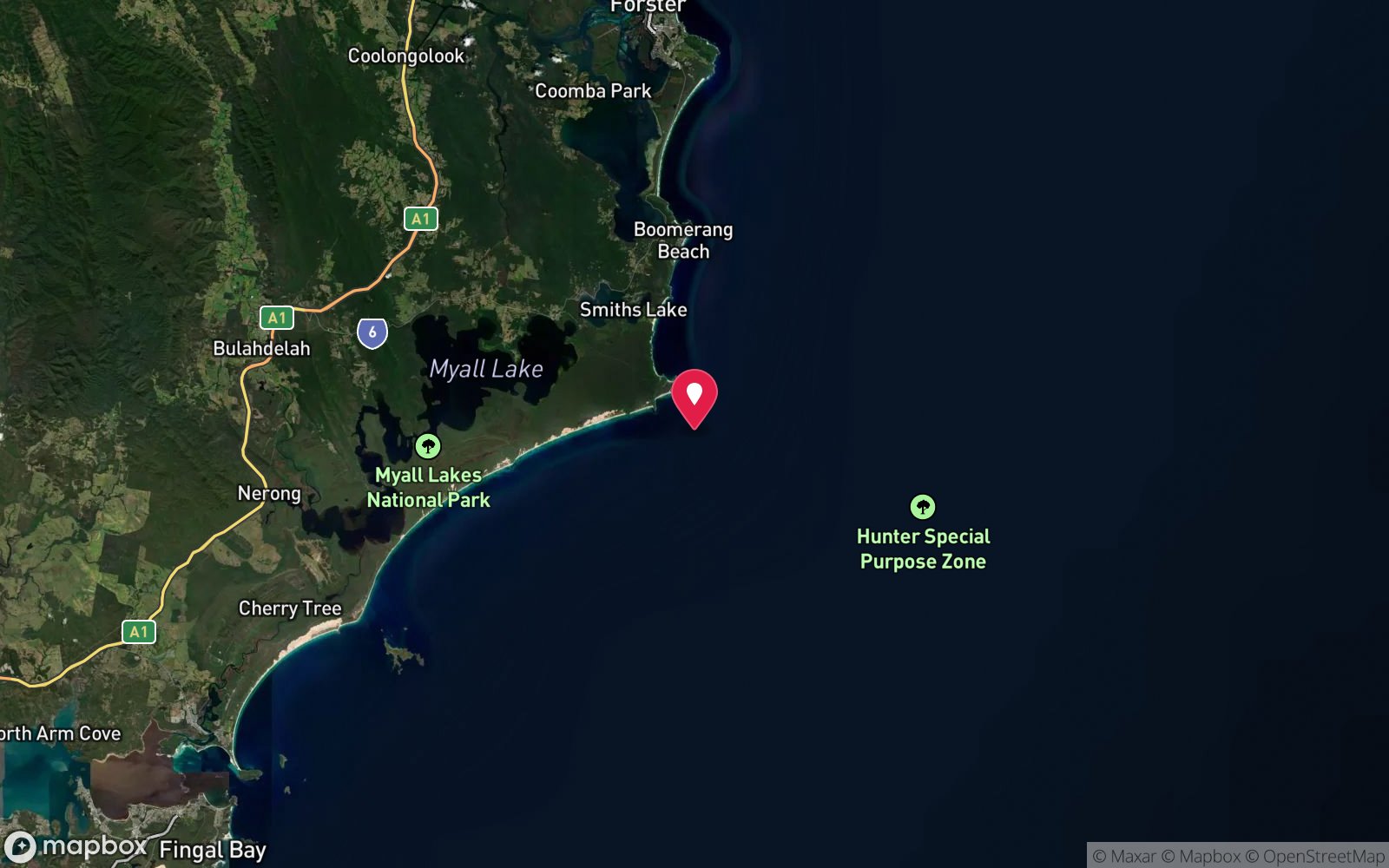
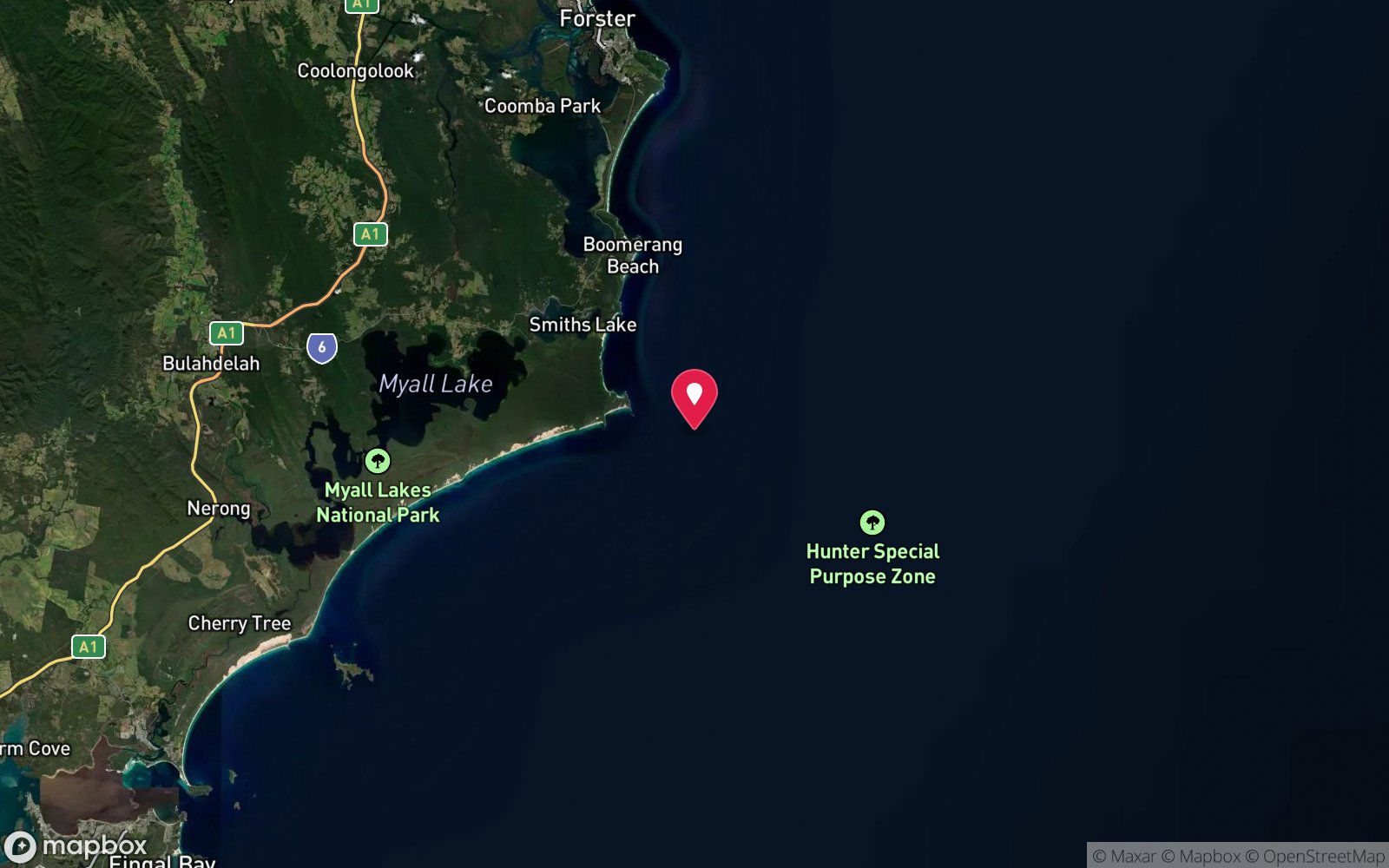
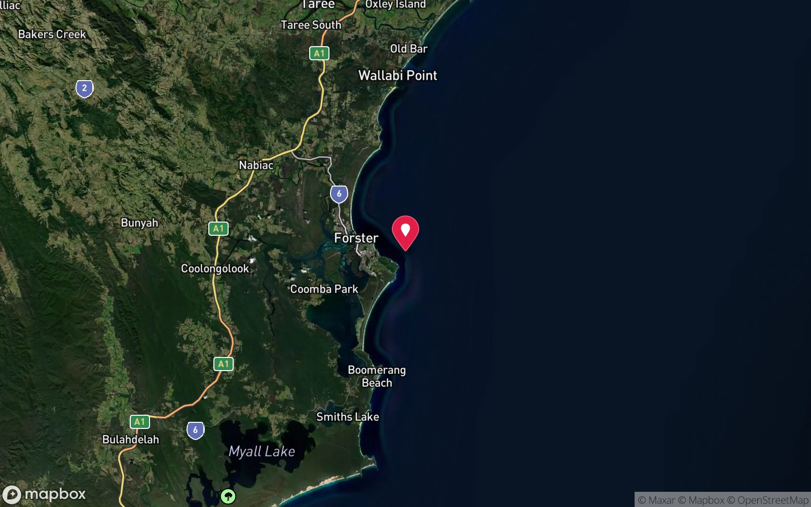
7 pinned sites. Pins marked approximate on their pages show the general area only; not for navigation.
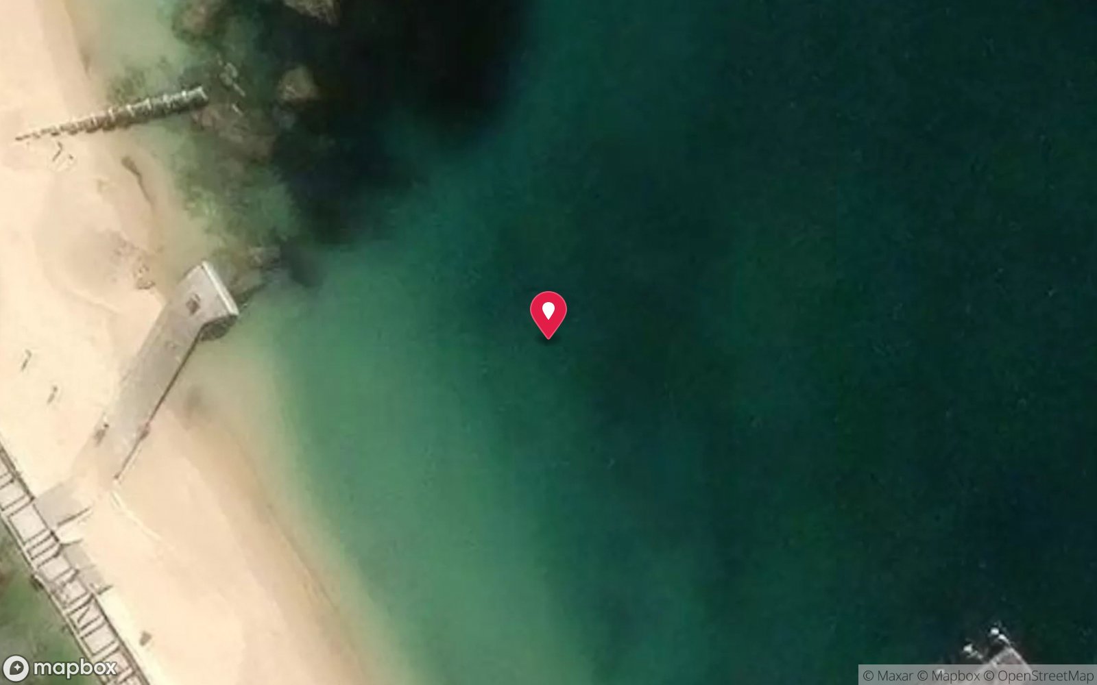
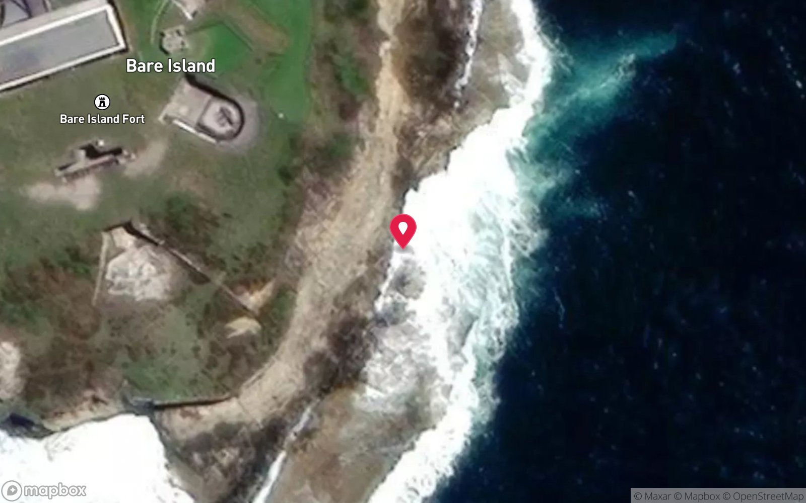
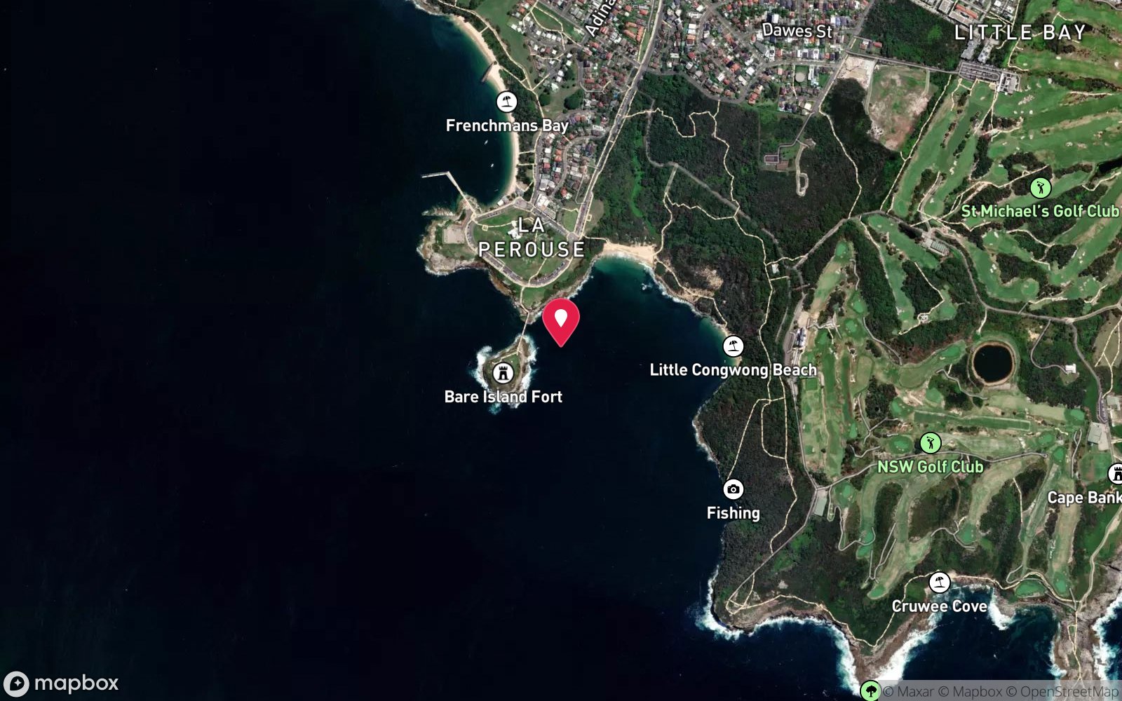
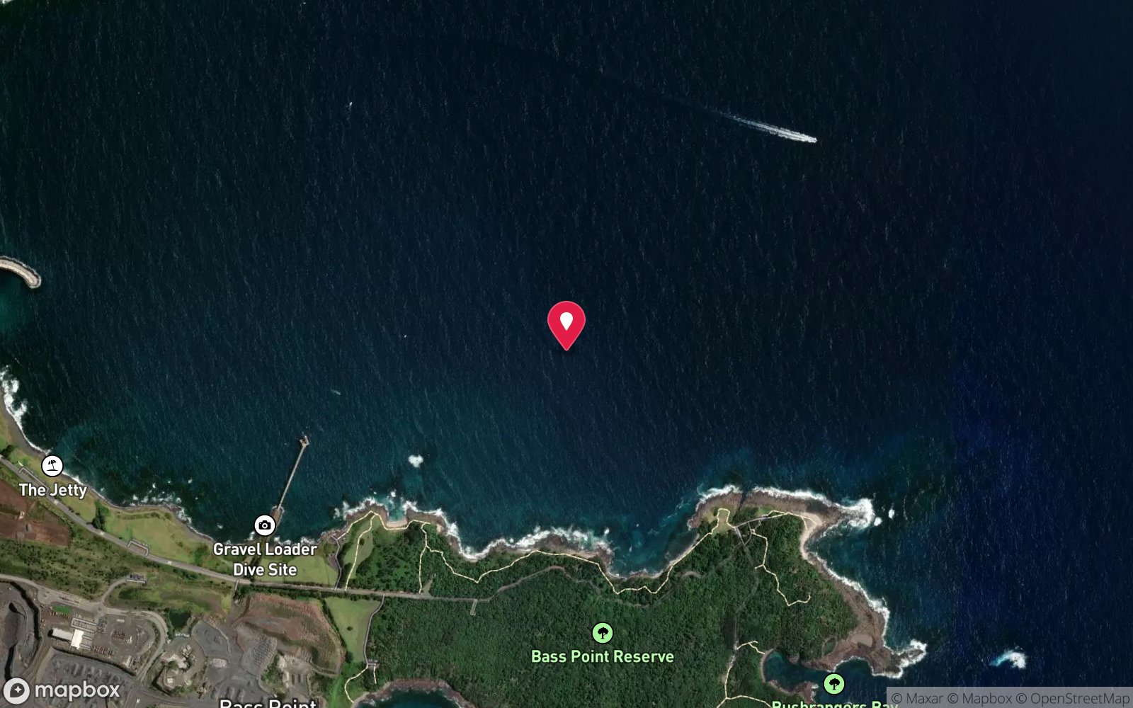
Satellite views
Sugarloaf Bay / Boat Beach (Seal Rocks shore): frequently asked questions
How deep is Sugarloaf Bay / Boat Beach (Seal Rocks shore)?
Sugarloaf Bay / Boat Beach (Seal Rocks shore) reaches a maximum depth of 10 m, with the shallowest part at about 2 m; most of the dive is spent around 6 m.
What certification do I need to dive Sugarloaf Bay / Boat Beach (Seal Rocks shore)?
No certification is needed to snorkel it, and it suits introductory dives. Rated beginner: sheltered, shallow and manageable for a newly certified diver on a normal day, though note boat traffic overhead.
Can I shore dive Sugarloaf Bay / Boat Beach (Seal Rocks shore)?
Yes. Sugarloaf Bay / Boat Beach (Seal Rocks shore) is a shore dive that can be done independently: wade/sand entry from Boat Beach or the other sheltered village beaches.
When is the best time to dive Sugarloaf Bay / Boat Beach (Seal Rocks shore)?
Summer for warmest water and calmest conditions.
What marine life will I see at Sugarloaf Bay / Boat Beach (Seal Rocks shore)?
Regularly recorded: Small estuarine-influenced fish, occasional rays, general shallow sand-and-rock fauna.
What wetsuit do I need at Sugarloaf Bay / Boat Beach (Seal Rocks shore)?
3-5 mm steamer summer; 5-7 mm full suit or semi-dry winter.
How cold is the water at Sugarloaf Bay / Boat Beach (Seal Rocks shore)?
Typically 22-25 °C in summer and 17-20 °C in winter.
What are the main hazards at Sugarloaf Bay / Boat Beach (Seal Rocks shore)?
Minimal in calm conditions; boat traffic near Boat Beach given its use by local fishing vessels. See the hazards section above for the full list.
Where is the nearest recompression chamber to Sugarloaf Bay / Boat Beach (Seal Rocks shore)?
Prince of Wales Hospital (Randwick, Sydney) — John Hunter Hospital Newcastle has no recompression chamber. In an emergency call 000, then DAN Asia-Pacific on 1800 088 200.
Diving in Forster & Seal Rocks
Forster is one of the best places in the world to dive with grey nurse sharks. The Pinnacles, Latitude Rock and the Big Seal at Seal Rocks hold aggregations of 20–60 sharks in season, and Seal Rocks' gutters are within a few hundred metres of a beach launch. The SS Satara, a 1910 steamer in 44 m, and the Pinnacle's own wrecks add deep options.
Getting there: Three and a half hours north of Sydney. Forster charters run the Pinnacles and Latitude Rock; Seal Rocks is a beach launch or a longer boat trip. Shore dives at Forster's Bennetts Head and the Tuncurry breakwall.
All Forster & Seal Rocks dive sites and a suggested itinerary →
Sources
Data confidence: Low · Being verified: v1 combined several village beach names into one row; description generalised from regional geography — recommend on-ground verification for precise depths at each individual beach.. Last updated September 2026. Know this site better? How to send a correction
Nearby dive sites
More shore dives in New South Wales
Explore more
This region
Similar dives