Dive slate · divesites.com.au · printed 9 Nov 2026
Veronica Island
East Arnhem Land & Gove, Northern Territory · near Nhulunbuy
| Depth | 7–30 m |
|---|---|
| Minimum level | Advanced Open Water |
| Difficulty | Intermediate |
| Access | Boat (day trip) |
| Entry | Backward roll or giant stride from charter or private boat |
| Current | Variable/Tidal |
| Visibility | 8-20 m |
| Water | summer 29-31 °C, winter 24-26 °C |
| Suit | 3 mm wetsuit or full lycra; full-length stinger suit October-May |
| Best season | April-November for calm mornings and clearest water; the Gulf side is often diveable in the wet season but inshore sites lose visibility after rain |
| Bottom time | 45 min |
| Position | not published |
| Permit | Dhimurru Aboriginal Corporation On-Country Pass required to access recreation areas outside Nhulunbuy (31 days, or 12 months for residents); extra daily-rate permits for Wanuwuy (Cape Arnhem) and some other sites; camping passes for overnight stays. Northern Land Council transit permit to drive the Central Arnhem Road and permits for some ramps (e.g. Gowupu/Catalina ramp). Islands are Yolŋu land – do not land without the appropriate permit. |
| Nearest chamber | Royal Darwin Hospital hyperbaric medicine unit (Tiwi, Darwin) – aeromedical evacuation from Gove District Hospital (Nhulunbuy) |
| Emergency | 000 · DAN Asia-Pacific diving emergency 1800 088 200 |
Veronica Island
Sea walls of soft coral and gorgonians patrolled by pelagics, with good invertebrate life for macro divers.
Near Nhulunbuy · East Arnhem Land & Gove, Northern Territory
- Depth
- 7–30 m
- Minimum level
- Advanced Open Water
- Access
- Boat (day trip)
- Boat ride
- —
- Water
- 29-31 °C
- Visibility
- 8-20 m
Veronica Island7–30 m · Advanced Open Water
Dive factsDepths, conditions, location & safety
Season
In season nowBest months: year-round.
April-November for calm mornings and clearest water; the Gulf side is often diveable in the wet season but inshore sites lose visibility after rain
- Best months
- Now (November)
- Stinger suit Nov–May
Dive facts
- Depth
- 7–30 m
- Typical depth
- 18 m
- Certification
- Advanced Open Water
- Difficulty
- Intermediate
- Depth tier
- Advanced Open Water (18–30 m)
- Access
- Boat (day trip)
- Dive centre needed
- Recommended
- Shore / independent
- No
- Current
- Variable/Tidal
- Visibility
- 8-20 m
- Water temp (summer)
- 29-31 °C
- Water temp (winter)
- 24-26 °C
- Water
- Tropical
- Bottom time
- 45 min
- Dive traffic
- Rarely dived (private boat/club only)
- Night dive
- No
- Snorkel friendly
- Partial
Exposure suit
3 mm wetsuit or full lycra; full-length stinger suit October-May
Location
Gove offshore islands · Gove Peninsula / East Arnhem Land
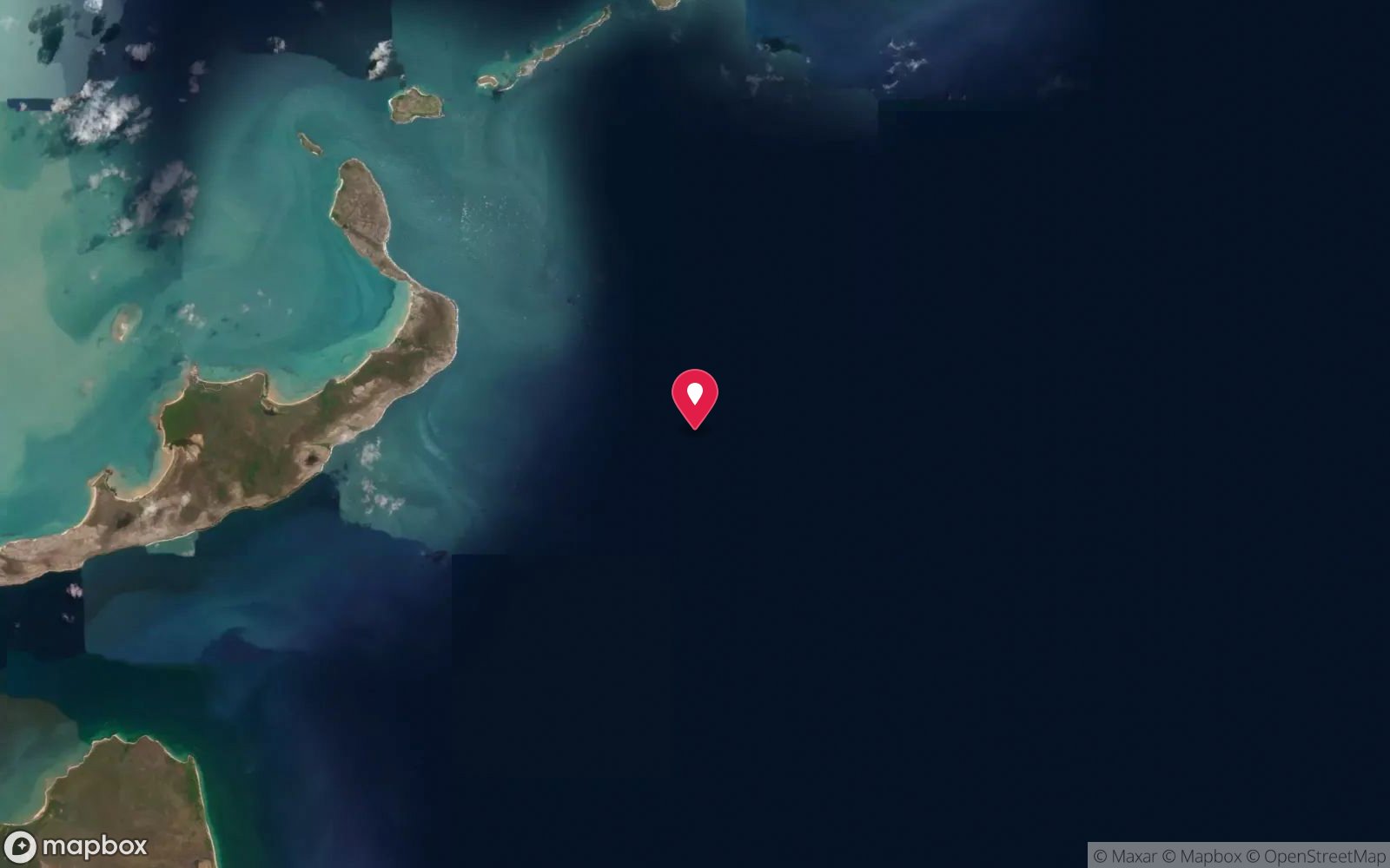
No published coordinates. The map above shows the general area, estimated from other documented sites near Nhulunbuy.
Primary source: marinelife.org.auMarine park & permits
Dhimurru Aboriginal Corporation On-Country Pass required to access recreation areas outside Nhulunbuy (31 days, or 12 months for residents); extra daily-rate permits for Wanuwuy (Cape Arnhem) and some other sites; camping passes for overnight stays. Northern Land Council transit permit to drive the Central Arnhem Road and permits for some ramps (e.g. Gowupu/Catalina ramp). Islands are Yolŋu land – do not land without the appropriate permit.
Nearest recompression chamber
Royal Darwin Hospital hyperbaric medicine unit (Tiwi, Darwin) – aeromedical evacuation from Gove District Hospital (Nhulunbuy)
Diving emergency: call 000, then DAN AP 1800 088 200.
Trip planner
Build a trip around Veronica Island →
A day-by-day plan for East Arnhem Land & Gove with this site locked in.
This guide is a planning aid. Conditions change daily — confirm with a local dive centre and dive within your training. Data & safety notes.
Dive profile
How this site rates
Scores are computed from the recorded data, not opinions. How?
At a glance
Veronica Island is a island boat dive in East Arnhem Land & Gove, NT, 7–30 m, suited to Advanced Open Water divers, variable/tidal current.
Rated intermediate because of depth beyond 18 m, tidal current that must be timed.
Why dive here
- Sea walls of soft coral and gorgonians patrolled by pelagics, with good invertebrate life for macro divers.
- Rarely dived: expect to have the site to yourself, and plan your own logistics.
- Visibility often reaches 8-20 m.
Conditions to avoid
- Strong southerly or south-east swell and wind
- Outgoing tide or run-off after rain (poor visibility)
- Any time other than slack water
- Cyclone season (roughly December–April)
- Stinger season without a full suit (November–May)
About Veronica Island
Veronica Island is one of the offshore islands dived from Gove. The Marine Life Network records a depth range of about 7–30 m and notes that the best diving is on the island's sea walls, which are patrolled by pelagic fish.
The walls carry soft corals, gorgonians and sea whips, giving colour and structure in the moderate currents that sweep past the island. Trevally, mackerel, queenfish and other pelagics cruise along the face, and reef sharks and turtles are likely. Veronica is also noted for its smaller reef life – flatworms, sea stars, crabs and molluscs – which makes it a good choice for macro enthusiasts who slow down and look closely along the wall.
As with other Gove sites, clarity is better than in the western Top End because the Gulf of Carpentaria has smaller tides and less river outflow, and coral life is richer in shallower water. Conditions are driven by the south-east trade wind, so the island is best dived early on calm days or during the build-up.
Very little additional detail has been published about Veronica Island, and it is visited mainly by local divers with boats. It suits advanced divers comfortable with wall diving in open water and anyone who enjoys finding small invertebrates as much as watching fish. Permits are required for Yolŋu land and sea country access, and landing on the island should not be assumed. Combining it with Bromby or Bremer Island on a two-dive day is the usual way local divers make the most of a calm window.
Getting there & entry
Offshore island near Gove whose best diving is on the sea walls, with soft corals, gorgonians and patrolling pelagic fish.
From Nhulunbuy, launch at the Gove Boat Club ramp in Melville Bay and run to Veronica Island with a local skipper – the island's position is not given in published dive guides. Go early in the day in trade-wind season. Anchor in sand in the lee or drift the walls with a live boat, depending on current.
Nhulunbuy itself is reached by daily flights from Darwin (about 1 hour 10 minutes) and Cairns, or by the Central Arnhem Road in the dry season with an NLC permit.
Entry: Backward roll or giant stride from charter or private boat
Facilities: Gove Boat Club (Drimmie Head Road, Melville Bay) – boat ramp, bar, meals, moorings; fuel and supplies in Nhulunbuy. Air fills only through the local dive business (confirm availability) – serious divers bring or arrange compressor access.
Weather, swell & tides
The Gove Peninsula sits at the north-west corner of the Gulf of Carpentaria, and tidal ranges here are much smaller than at Darwin (roughly 2–3 m), so diving is less tide-bound – but slack water still matters at channel and point sites. From April to September the south-east trade wind blows hard (often 15–25 knots), making the exposed east-facing coast and offshore islands rough by late morning; early starts and sites in the lee of islands are the norm. The build-up and early wet (October–December) bring glassy calm days and the best visibility.
In the wet season (December–March) the Gulf side is often still diveable, but inshore sites lose visibility after rain, cyclones are possible and box jellyfish are present.
Best season: April-November for calm mornings and clearest water; the Gulf side is often diveable in the wet season but inshore sites lose visibility after rain
How the dive is usually run
Drop onto the sea wall, descend to 18–25 m and follow the wall with it on one shoulder, looking both at the invertebrates on the face and out into the blue for pelagics. Ascend gradually up the wall to finish in the shallows at 5 m.
Marine life
- Trevally
- mackerel
- queenfish
- reef sharks →
- turtles →
- flatworms
- sea stars
- crabs
- molluscs
- soft corals
- gorgonians
- sea whips
Linked species have their own page listing every site where they are recorded. All marine life →
Training required
Beyond 18 m an Advanced certification (which includes a deep dive to 30 m) is the accepted minimum. Anything past 25 m is a deep dive in practice.
At more than 25 m this counts as a deep dive: watch no-decompression limits and gas.
Courses that help here
- Enriched Air Nitrox – Longer no-decompression time at 25 m and deeper.
Depth tiers: 0–10 m easy · to 18 m Open Water · 18–30 m Advanced (25 m+ is a deep dive) · 30–40 m Deep specialty · 40 m+ technical. All courses
Hazards & warnings
Saltwater crocodiles are common on the Gove coast, in Melville Bay and around islands – minimise surface time and never dive near creek mouths. Box jellyfish and Irukandji, mainly October–May. Remote: nearest chamber is Royal Darwin Hospital by aeromedical evacuation; carry oxygen and a satellite device.
Trade-wind seas can build quickly on exposed sites. Sharks, including tiger and bull sharks, are present. Permit checks are carried out by police and rangers.
Dive centres that go here
Gove Diving & Fishing Charters (Nhulunbuy, ph 08 8987 3445) has provided air fills, gear hire, courses and boat trips to the offshore islands; confirm current operation before travelling. Otherwise private boats from the Gove Boat Club ramp, and local residents' informal dive groups.
Operators recorded for Veronica Island
General area
No position has been published for Veronica Island. The circle shows where it is likely to be, worked out from other documented sites near Nhulunbuy. Ask a local operator for the exact site.
Dashed circle: general area (about 33 km), from other documented sites near Nhulunbuy. 6 pinned sites. Pins marked approximate on their pages show the general area only; not for navigation.
Veronica Island: frequently asked questions
How deep is Veronica Island?
Veronica Island reaches a maximum depth of 30 m, with the shallowest part at about 7 m; most of the dive is spent around 18 m.
What certification do I need to dive Veronica Island?
Advanced Open Water is the recommended minimum. At more than 25 m this counts as a deep dive: watch no-decompression limits and gas. Rated intermediate because of depth beyond 18 m, tidal current that must be timed.
Can I shore dive Veronica Island?
No, it is reached by boat.
When is the best time to dive Veronica Island?
April-November for calm mornings and clearest water; the Gulf side is often diveable in the wet season but inshore sites lose visibility after rain.
What marine life will I see at Veronica Island?
Regularly recorded: Trevally, mackerel, queenfish, reef sharks, turtles, flatworms, sea stars, crabs, molluscs, soft corals, gorgonians, sea whips.
What wetsuit do I need at Veronica Island?
3 mm wetsuit or full lycra; full-length stinger suit October-May.
How cold is the water at Veronica Island?
Typically 29-31 °C in summer and 24-26 °C in winter.
What are the main hazards at Veronica Island?
Saltwater crocodiles are common on the Gove coast, in Melville Bay and around islands – minimise surface time and never dive near creek mouths. See the hazards section above for the full list.
Where is the nearest recompression chamber to Veronica Island?
Royal Darwin Hospital hyperbaric medicine unit (Tiwi, Darwin) – aeromedical evacuation from Gove District Hospital (Nhulunbuy). In an emergency call 000, then DAN Asia-Pacific on 1800 088 200.
Diving in East Arnhem Land & Gove
The Gove Peninsula at the top of Arnhem Land has fringing coral reefs, WWII aircraft wrecks and clear Gulf of Carpentaria water dived by the local club and a few visitors. Permits from the Northern Land Council are required to travel on Aboriginal land.
Getting there: Fly to Nhulunbuy from Darwin or Cairns. Diving is arranged through the local club or by private boat.
All East Arnhem Land & Gove dive sites and a suggested itinerary →
Sources
Data confidence: Low · Being verified: Location/coordinates not published; name 'Veronica Island' not verified on charts.. Last updated September 2026. Know this site better? How to send a correction
Nearby dive sites
More island dives in Northern Territory
Explore more
This region