Dive slate · divesites.com.au · printed 8 Nov 2026
Wessel Islands
East Arnhem Land & Gove, Northern Territory · near Nhulunbuy
| Depth | Depth not published |
|---|---|
| Minimum level | Advanced Open Water |
| Difficulty | Advanced |
| Access | Boat (multi-day/liveaboard) |
| Entry | Backward roll or giant stride from charter or private boat |
| Current | Variable/Tidal |
| Visibility | 8-20 m |
| Water | summer 29-31 °C, winter 24-26 °C |
| Suit | 3 mm wetsuit or full lycra; full-length stinger suit October-May |
| Best season | April-November for calm mornings and clearest water; the Gulf side is often diveable in the wet season but inshore sites lose visibility after rain |
| Bottom time | 45 min |
| Position | not published |
| Permit | Northern Land Council permits required for landing; check sea-country access arrangements. |
| Nearest chamber | Royal Darwin Hospital hyperbaric medicine unit (Tiwi, Darwin) – aeromedical evacuation from Gove District Hospital (Nhulunbuy) |
| Emergency | 000 · DAN Asia-Pacific diving emergency 1800 088 200 |
Wessel Islands
Also known as Marchinbar Island, Cape Wessel, Rimbija Island
Remote Arnhem Land island chain famed for fishing and tidal passages, with potential for expedition diving far from anyone else.
Near Nhulunbuy · East Arnhem Land & Gove, Northern Territory
- Depth
- Depth not published
- Minimum level
- Advanced Open Water
- Access
- Boat (multi-day/liveaboard)
- Boat ride
- —
- Water
- 29-31 °C
- Visibility
- 8-20 m
Wessel IslandsDepth not published · Advanced Open Water
Dive factsDepths, conditions, location & safety
Season
In season nowBest months: year-round.
April-November for calm mornings and clearest water; the Gulf side is often diveable in the wet season but inshore sites lose visibility after rain
- Best months
- Now (November)
- Stinger suit Nov–May
Dive facts
- Depth
- Depth not published
- Typical depth
- 15 m
- Certification
- Advanced Open Water
- Difficulty
- Advanced
- Access
- Boat (multi-day/liveaboard)
- Dive centre needed
- Recommended
- Shore / independent
- No
- Current
- Variable/Tidal
- Visibility
- 8-20 m
- Water temp (summer)
- 29-31 °C
- Water temp (winter)
- 24-26 °C
- Water
- Tropical
- Bottom time
- 45 min
- Dive traffic
- Remote/expedition only
- Night dive
- No
- Snorkel friendly
- Partial
Exposure suit
3 mm wetsuit or full lycra; full-length stinger suit October-May
Location
Wessel Islands · Gove Peninsula / East Arnhem Land
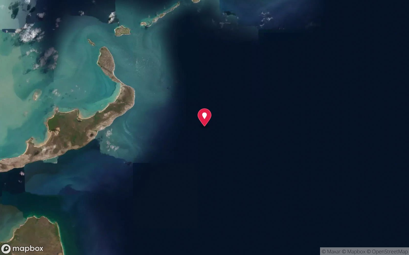
No published coordinates. The map above shows the general area, estimated from other documented sites near Nhulunbuy.
Primary source: abc.net.auMarine park & permits
Northern Land Council permits required for landing; check sea-country access arrangements.
Nearest recompression chamber
Royal Darwin Hospital hyperbaric medicine unit (Tiwi, Darwin) – aeromedical evacuation from Gove District Hospital (Nhulunbuy)
Diving emergency: call 000, then DAN AP 1800 088 200.
Trip planner
Build a trip around Wessel Islands →
A day-by-day plan for East Arnhem Land & Gove with this site locked in.
This guide is a planning aid. Conditions change daily — confirm with a local dive centre and dive within your training. Data & safety notes.
Dive profile
How this site rates
Scores are computed from the recorded data, not opinions. How?
At a glance
Wessel Islands is a island liveaboard-only site in East Arnhem Land & Gove, NT, suited to Advanced Open Water divers, variable/tidal current.
Rated advanced because of tidal current that must be timed.
Why dive here
- Remote Arnhem Land island chain famed for fishing and tidal passages, with potential for expedition diving far from anyone else.
- Rarely dived: expect to have the site to yourself, and plan your own logistics.
- Visibility often reaches 8-20 m.
Conditions to avoid
- Strong southerly or south-east swell and wind
- Outgoing tide or run-off after rain (poor visibility)
- Any time other than slack water
- Cyclone season (roughly December–April)
- Stinger season without a full suit (November–May)
About Wessel Islands
The Wessel Islands form a long, narrow chain running north-east from the English Company's Islands off north-east Arnhem Land to Cape Wessel, roughly 600 km east of Darwin. Marchinbar Island is the largest. The islands are Yolŋu country, historically visited by Macassan trepangers, and they hold a notable place in WWII history: in January 1943 the auxiliary HMAS Patricia Cam was sunk by a Japanese floatplane in the Wessels with the loss of nine lives – the wreck itself has never been located.
Today the Wessels are known mainly as a remote fishing destination from Gove. Published dive information is almost non-existent, and the islands are included here as a documented remote marine area rather than a mapped dive site. The regional pattern suggests fringing coral reefs, rocky shores and strong tidal passages between islands – the 'Hole in the Wall' (Gugari Rip) passage between islands is famous among boaters for its tidal race – with clear water by Top End standards.
Divers visiting on an expedition can expect reef fish such as coral trout, cod and sweetlips, pelagics including giant trevally, Spanish mackerel and queenfish, reef sharks, turtles and dugong. Coral growth is likely to be healthier than around Darwin because of the lower sediment load.
The Wessels suit experienced, self-sufficient divers on a well-equipped multi-day vessel, comfortable with strong currents and total remoteness. Any trip needs land-council permits and careful planning for emergencies – aeromedical evacuation to Darwin is the only route to a chamber. In practice most divers who reach the Wessels do so as guests on fishing trips, fitting in dives around slack water when the skipper agrees.
Getting there & entry
Long chain of remote islands extending north-east from the English Company's Islands off north-east Arnhem Land, about 600 km east of Darwin, ending at Cape Wessel.
The Wessel Islands are reached from Nhulunbuy by a long open-water trip north-west past the English Company's Islands, or on multi-day fishing expeditions. Aussie Mob lists the Wessels among Gove's popular offshore fishing destinations. There are no facilities; boats must carry fuel, water and safety equipment for several days, and landing requires Northern Land Council permits.
Nhulunbuy is reached by daily flights from Darwin and Cairns; allow several days for any Wessels trip.
Entry: Backward roll or giant stride from charter or private boat
Facilities: None.
Weather, swell & tides
The Gove Peninsula sits at the north-west corner of the Gulf of Carpentaria, and tidal ranges here are much smaller than at Darwin (roughly 2–3 m), so diving is less tide-bound – but slack water still matters at channel and point sites. From April to September the south-east trade wind blows hard (often 15–25 knots), making the exposed east-facing coast and offshore islands rough by late morning; early starts and sites in the lee of islands are the norm. The build-up and early wet (October–December) bring glassy calm days and the best visibility.
In the wet season (December–March) the Gulf side is often still diveable, but inshore sites lose visibility after rain, cyclones are possible and box jellyfish are present.
Best season: April-November for calm mornings and clearest water; the Gulf side is often diveable in the wet season but inshore sites lose visibility after rain
How the dive is usually run
Plan dives around slack water in the lee of islands, using sand anchorages beside reef edges, or drift passages with a live boat. Keep dives conservative – there is no help nearby.
Marine life
- Giant trevally
- Spanish mackerel
- queenfish
- coral trout
- cod
- sweetlips
- reef sharks →
- turtles →
- dugong (regional) →
Linked species have their own page listing every site where they are recorded. All marine life →
Training required
Depth tiers: 0–10 m easy · to 18 m Open Water · 18–30 m Advanced (25 m+ is a deep dive) · 30–40 m Deep specialty · 40 m+ technical. All courses
Hazards & warnings
Extremely remote – days from help; carry oxygen, first aid, EPIRB and satellite phone. Very strong tidal races in passages between islands (e.g. Gugari Rip).
Saltwater crocodiles, box jellyfish (October–May), sharks. Weather can change quickly with the south-east trades.
Dive centres that go here
No dive operator. Gove-based fishing charters run multi-day trips to the Wessels and may accommodate divers by arrangement; otherwise private expedition vessels only.
Operators recorded for Wessel Islands
General area
No position has been published for Wessel Islands. The circle shows where it is likely to be, worked out from other documented sites near Nhulunbuy. Ask a local operator for the exact site.
Dashed circle: general area (about 33 km), from other documented sites near Nhulunbuy. 6 pinned sites. Pins marked approximate on their pages show the general area only; not for navigation.
Wessel Islands: frequently asked questions
What certification do I need to dive Wessel Islands?
Advanced Open Water is the recommended minimum. Rated advanced because of tidal current that must be timed.
Can I shore dive Wessel Islands?
No, it is reached by boat.
When is the best time to dive Wessel Islands?
April-November for calm mornings and clearest water; the Gulf side is often diveable in the wet season but inshore sites lose visibility after rain.
What marine life will I see at Wessel Islands?
Regularly recorded: Giant trevally, Spanish mackerel, queenfish, coral trout, cod, sweetlips, reef sharks, turtles, dugong (regional).
What wetsuit do I need at Wessel Islands?
3 mm wetsuit or full lycra; full-length stinger suit October-May.
How cold is the water at Wessel Islands?
Typically 29-31 °C in summer and 24-26 °C in winter.
What are the main hazards at Wessel Islands?
Extremely remote – days from help; carry oxygen, first aid, EPIRB and satellite phone. See the hazards section above for the full list.
Where is the nearest recompression chamber to Wessel Islands?
Royal Darwin Hospital hyperbaric medicine unit (Tiwi, Darwin) – aeromedical evacuation from Gove District Hospital (Nhulunbuy). In an emergency call 000, then DAN Asia-Pacific on 1800 088 200.
Diving in East Arnhem Land & Gove
The Gove Peninsula at the top of Arnhem Land has fringing coral reefs, WWII aircraft wrecks and clear Gulf of Carpentaria water dived by the local club and a few visitors. Permits from the Northern Land Council are required to travel on Aboriginal land.
Getting there: Fly to Nhulunbuy from Darwin or Cairns. Diving is arranged through the local club or by private boat.
All East Arnhem Land & Gove dive sites and a suggested itinerary →
Sources
- abc.net.au/news/2020-07-29/forensic-scan-of-timber-possibly-wwii-ship-hmas-patricia-cam/12496628
- aussiemob.com/nhulunbuy
Data confidence: Low · Being verified: No dive reports found; 'Gugari Rip / Hole in the Wall' detail from general knowledge – verify; HMAS Patricia Cam wreck not located (only a timber knee found on Marchinbar Island).. Last updated September 2026. Know this site better? How to send a correction
Nearby dive sites
More island dives in Northern Territory
Explore more
This region
Marine life