Dive slate · divesites.com.au · printed 8 Nov 2026
Claytons Wreck (Nepean Island)
Norfolk Island, External Territories · near Kingston / Burnt Pine
| Depth | 5–16 m |
|---|---|
| Minimum level | Open Water |
| Difficulty | Intermediate |
| Access | Boat (day trip) |
| Entry | Backward roll from the small open dive boat |
| Current | Mild |
| Visibility | 20-40 m |
| Water | summer 22-25 °C, winter 18-19 °C |
| Suit | 5 mm full suit year-round; add a hood or vest June–October |
| Best season | November–April for warmer water and lighter winds; winter can give 40 m visibility but more days lost to wind |
| Bottom time | 45 min |
| Position | -29.07500, 167.96000 (approximate) |
| Permit | Norfolk Marine Park (Parks Australia) – Special Purpose Zone around the island; check the Parks Australia activity table |
| Nearest chamber | Prince of Wales Hospital (Randwick, Sydney) – about 1,700 km; no chamber on Norfolk Island, aeromedical evacuation from Norfolk Island Airport via the Norfolk Island Health service (Auckland may be used – confirm) |
| Emergency | 000 · DAN Asia-Pacific diving emergency 1800 088 200 |
Claytons Wreck (Nepean Island)
Also known as Clayton's Wreck, Clayton's Shipwreck
Rugged, coral-covered reef at the exposed southern tip of Nepean Island – good for photography.
Near Kingston / Burnt Pine · Norfolk Island, External Territories
- Depth
- 5–16 m
- Minimum level
- Open Water
- Access
- Boat (day trip)
- Boat ride
- ~10 min
- Water
- 22-25 °C
- Visibility
- 20-40 m
Claytons Wreck (Nepean Island)5–16 m · Open Water
Dive factsDepths, conditions, location & safety
Season
In season nowBest months: January, February, March, April, June, July, August, November, December.
November–April for warmer water and lighter winds; winter can give 40 m visibility but more days lost to wind
- Best months
- Now (November)
- Stinger suit Nov–May
Dive facts
- Depth
- 5–16 m
- Typical depth
- 12 m
- Certification
- Open Water
- Difficulty
- Intermediate
- Depth tier
- Open Water (10–18 m)
- Access
- Boat (day trip)
- Offshore
- 1 km
- Dive centre needed
- Yes – boat access only
- Shore / independent
- No
- Boat ride
- ~10 min
- Current
- Mild
- Visibility
- 20-40 m
- Water temp (summer)
- 22-25 °C
- Water temp (winter)
- 18-19 °C
- Water
- Subtropical
- Bottom time
- 45 min
- Dive traffic
- Moderate (occasional charters/club dives)
- Night dive
- No
- Snorkel friendly
- No
Exposure suit
5 mm full suit year-round; add a hood or vest June–October
Location
Nepean Island
-29.07500, 167.96000
Approximate position — not for navigation.
Open in Google MapsPrimary source: oceanatik.comMarine park & permits
Norfolk Marine Park (Parks Australia) – Special Purpose Zone around the island; check the Parks Australia activity table
Nearest recompression chamber
Prince of Wales Hospital (Randwick, Sydney) – about 1,700 km; no chamber on Norfolk Island, aeromedical evacuation from Norfolk Island Airport via the Norfolk Island Health service (Auckland may be used – confirm)
Diving emergency: call 000, then DAN AP 1800 088 200.
Trip planner
Build a trip around Claytons Wreck (Nepean Island) →
A day-by-day plan for Norfolk Island with this site locked in.
This guide is a planning aid. Conditions change daily — confirm with a local dive centre and dive within your training. Data & safety notes.
Dive profile
How this site rates
Scores are computed from the recorded data, not opinions. How?
At a glance
Claytons Wreck (Nepean Island) is a reef boat dive in Norfolk Island, Australia's external territories, 5–16 m, suited to Open Water divers, about 10 minutes by boat.
Rated intermediate because of surge on the entry or in the shallows.
Why dive here
- Rugged, coral-covered reef at the exposed southern tip of Nepean Island – good for photography.
- A photographer's site: bring a macro lens or a wide-angle depending on the season.
- Visibility often reaches 20-40 m.
Conditions to avoid
- Swell above about 1.5–2 m
- Strong southerly or south-east swell and wind
- Cyclone season (roughly December–April)
- Stinger season without a full suit (November–May)
About Claytons Wreck (Nepean Island)
Claytons Wreck is at the southern tip of Nepean Island. Despite the name, both descriptions found treat it mainly as a reef dive: the Marine Life Network describes a rugged reef structure at 16 m, and Oceanatik lists it as a wreck, reef and rock site with a rocky bottom, hard and soft corals and a large array of marine life. Oceanatik calls it an unidentified wreck heavily colonised by coral.
The name is a puzzle. A 'Clayton's' is Australian slang for something that is not the real thing – from a 1980s advertising campaign for a non-alcoholic drink – and it may be that divers named the site because it is 'the wreck you have when you're not having a wreck'. That is speculation; the sources do not explain the name, and no shipwreck record for this position was found. Divers should not expect recognisable ship structure.
What the site offers is a rugged, photogenic reef on the exposed southern end of Nepean, with hard and soft corals and plenty of fish. The Nepean Island fauna recorded by Nigel Marsh at nearby sites includes Galapagos sharks, kingfish, trevally, goldribbon cod, black cod, morays and green turtles. The maximum depth of 16 m keeps bottom times comfortable.
Oceanatik rates it beginner-friendly and good for photographers. The southern tip of Nepean takes the full force of southerly swell, so it is dived only on calm days with northerly or light winds. It is a short run from Kingston Pier. Norfolk has more than 20 historic shipwrecks protected under Commonwealth law; if any wreck material is found here, it must not be disturbed.
Wreck details
Unidentified (if any)
Getting there & entry
A rugged coral reef at the southern tip of Nepean Island, known as Claytons Wreck; any wreck remains are unidentified and heavily overgrown.
Norfolk Island is about 1,450 km east of Brisbane; flights run from Sydney and Brisbane (about 2.5 h; check the current carrier). A hire car is essential. Norfolk has no harbour: Norfolk Island Diving's open boat is lowered by crane from Kingston Pier (south coast) or Cascade Pier (north-east coast), whichever is in the lee of the day's wind, and divers board from the pier steps once it is in the water.
For the Nepean Island sites the boat launches at Kingston Pier and runs about 1 km south to Nepean Island – a trip of 5–10 minutes. Nepean is a small, uninhabited island within Norfolk Island National Park; landing is not part of the dive.
Entry: Backward roll from the small open dive boat
Facilities: Departure from Kingston Pier (crane launch); public toilets at Emily Bay and Kingston.
Weather, swell & tides
Norfolk's south coast, including Kingston, Nepean Island and Phillip Island, faces the prevailing south-east trade winds and southerly swell, which are strongest from May to September. A south-easterly over about 15 knots or a southerly swell above 1.5–2 m makes the boat launch at Kingston Pier unworkable and the southern sites rough; they are dived on northerly or light-wind days, often in summer. Surge is felt in caves and gutters with any swell.
Visibility is typically 20–40 m and can exceed 40 m in winter. There are no stingers, and cyclones rarely reach this far south, though ex-tropical lows can bring big seas in summer and autumn.
Best season: November–April for warmer water and lighter winds; winter can give 40 m visibility but more days lost to wind
If it's blown out
Sheltered or shore sites within 25 km that often work when Claytons Wreck (Nepean Island) doesn't.
- Emily Bay · 2 km · Max 6 m
- Slaughter Bay · 2 km · Max 6 m
- Cemetery Bay · 2 km · Depth not published
- HMS Sirius wreck site · 2 km · Max 8 m
How the dive is usually run
Descend to the rocky bottom at 12–16 m and explore the rugged reef, looking for coral-encrusted debris among the rock. Circle back towards the island in shallower water for the safety stop.
Marine life
- Hard and soft corals
- reef fish; Nepean fauna including Galapagos sharks
- kingfish
- goldribbon cod
- morays
Linked species have their own page listing every site where they are recorded. All marine life →
Training required
Within the 18 m limit of an entry-level certification.
Depth tiers: 0–10 m easy · to 18 m Open Water · 18–30 m Advanced (25 m+ is a deep dive) · 30–40 m Deep specialty · 40 m+ technical. All courses
Hazards & warnings
Southern tip of Nepean is fully exposed to southerly swell and surge; current around the point; no chamber on Norfolk Island.
Dive centres that go here
Norfolk Island Diving (local instructor James and divemaster Mitch Graham) – small open boat craned in at Kingston or Cascade Pier depending on wind; runs part-time, mostly weekends, so book ahead by email (norfolkislanddiving@gmail.com).
Operators recorded for Claytons Wreck (Nepean Island)
Other dive centres in Norfolk Island
Map
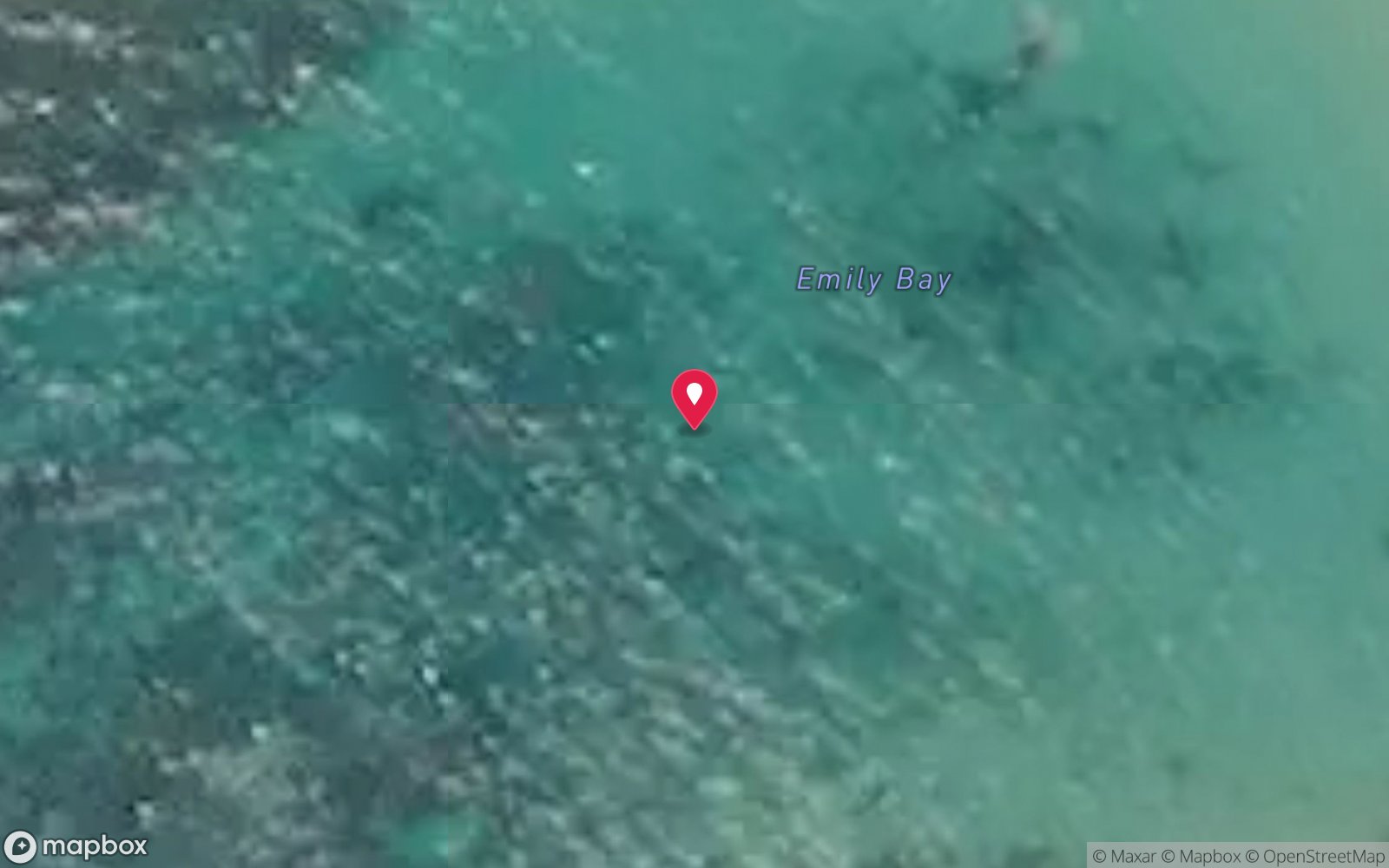
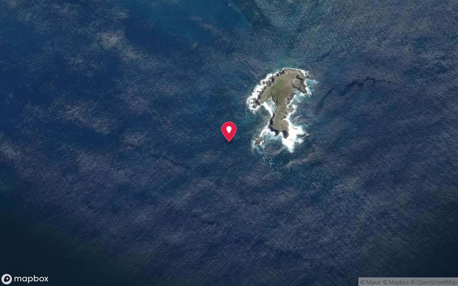
7 pinned sites. Pins marked approximate on their pages show the general area only; not for navigation.
Satellite views
Claytons Wreck (Nepean Island): frequently asked questions
How deep is Claytons Wreck (Nepean Island)?
Claytons Wreck (Nepean Island) reaches a maximum depth of 16 m, with the shallowest part at about 5 m; most of the dive is spent around 12 m.
What certification do I need to dive Claytons Wreck (Nepean Island)?
Open Water is the recommended minimum. Rated intermediate because of surge on the entry or in the shallows.
Can I shore dive Claytons Wreck (Nepean Island)?
No, it is reached by boat (about 10 minutes). A dive centre is required: boat access only.
When is the best time to dive Claytons Wreck (Nepean Island)?
November–April for warmer water and lighter winds; winter can give 40 m visibility but more days lost to wind.
What marine life will I see at Claytons Wreck (Nepean Island)?
Regularly recorded: Hard and soft corals, reef fish; Nepean fauna including Galapagos sharks, kingfish, goldribbon cod, morays.
What wetsuit do I need at Claytons Wreck (Nepean Island)?
5 mm full suit year-round; add a hood or vest June–October.
How cold is the water at Claytons Wreck (Nepean Island)?
Typically 22-25 °C in summer and 18-19 °C in winter.
What are the main hazards at Claytons Wreck (Nepean Island)?
Southern tip of Nepean is fully exposed to southerly swell and surge; current around the point; no chamber on Norfolk Island. See the hazards section above for the full list.
Where is the nearest recompression chamber to Claytons Wreck (Nepean Island)?
Prince of Wales Hospital (Randwick, Sydney) – about 1,700 km; no chamber on Norfolk Island, aeromedical evacuation from Norfolk Island Airport via the Norfolk Island Health service (Auckland may be used – confirm). In an emergency call 000, then DAN Asia-Pacific on 1800 088 200.
Diving in Norfolk Island
Norfolk Island sits on its own in the Tasman Sea, and its reefs feel like it: subtropical coral and kelp together, arches and swim-throughs in volcanic rock, 20–40 m visibility and endemic fish found nowhere else. Slaughter Bay and Emily Bay inside the lagoon are easy shore dives; the outer sites around Nepean and Phillip islands are boat dives in clear blue water.
Getting there: Fly from Sydney or Brisbane (about two and a half hours). One dive operator on the island runs boat and shore dives depending on the wind.
Sources
- oceanatik.com/destination/norfolk-island/sites/claytons-wreck-5162.html
- marinelife.org.au/?page_id=1473
- australianmarineparks.gov.au/parks/temperate-east-marine-parks-network/norfolk-marine-park
Data confidence: Medium · Being verified: Whether any wreck material exists; origin of the name.. Last updated September 2026. Know this site better? How to send a correction