Dive slate · divesites.com.au · printed 9 Nov 2026
Slaughter Bay
Norfolk Island, External Territories · near Kingston / Burnt Pine
| Depth | 1–6 m |
|---|---|
| Minimum level | Snorkel/Any |
| Difficulty | Beginner |
| Access | Shore |
| Entry | Walk in from the beach |
| Current | Mild |
| Visibility | 10-20 m |
| Water | summer 22-25 °C, winter 18-19 °C |
| Suit | 5 mm full suit year-round; add a hood or vest June–October |
| Best season | November–April for warmer water and lighter winds; winter can give 40 m visibility but more days lost to wind |
| Bottom time | 60 min |
| Position | -29.06000, 167.95500 (approximate) |
| Permit | Norfolk Marine Park – Emily and Slaughter Bays are a complete no-take area (from 15 February 2023); within the Kingston and Arthur's Vale Historic Area (World Heritage) |
| Nearest chamber | Prince of Wales Hospital (Randwick, Sydney) – about 1,700 km; no chamber on Norfolk Island, aeromedical evacuation from Norfolk Island Airport via the Norfolk Island Health service (Auckland may be used – confirm) |
| Emergency | 000 · DAN Asia-Pacific diving emergency 1800 088 200 |
Slaughter Bay
Sheltered sand-and-coral lagoon snorkel beside Kingston, with night snorkelling possible and the Sirius wreck site beyond the reef.
Near Kingston / Burnt Pine · Norfolk Island, External Territories
- Depth
- 1–6 m
- Minimum level
- Snorkel/Any
- Access
- Shore
- Boat ride
- Shore entry
- Water
- 22-25 °C
- Visibility
- 10-20 m
Slaughter Bay1–6 m · Snorkel/Any · Shore
Dive factsDepths, conditions, location & safety
Season
In season nowBest months: January, February, March, April, June, July, August, November, December.
November–April for warmer water and lighter winds; winter can give 40 m visibility but more days lost to wind
- Best months
- Now (November)
- Stinger suit Nov–May
Dive facts
- Depth
- 1–6 m
- Typical depth
- 3 m
- Certification
- Snorkel/Any
- Difficulty
- Beginner
- Depth tier
- Easy (0–10 m)
- Access
- Shore
- Offshore
- 0 km
- Dive centre needed
- No – independently diveable
- Shore / independent
- Yes
- Current
- Mild
- Visibility
- 10-20 m
- Water temp (summer)
- 22-25 °C
- Water temp (winter)
- 18-19 °C
- Water
- Subtropical
- Bottom time
- 60 min
- Dive traffic
- Very popular (dived daily)
- Night dive
- Possible
- Snorkel friendly
- Yes
Exposure suit
5 mm full suit year-round; add a hood or vest June–October
Location
Kingston – Emily & Slaughter Bays
-29.06000, 167.95500
Approximate position — not for navigation.
Open in Google MapsPrimary source: oceanatik.comMarine park & permits
Norfolk Marine Park – Emily and Slaughter Bays are a complete no-take area (from 15 February 2023); within the Kingston and Arthur's Vale Historic Area (World Heritage)
Nearest recompression chamber
Prince of Wales Hospital (Randwick, Sydney) – about 1,700 km; no chamber on Norfolk Island, aeromedical evacuation from Norfolk Island Airport via the Norfolk Island Health service (Auckland may be used – confirm)
Diving emergency: call 000, then DAN AP 1800 088 200.
Trip planner
Build a trip around Slaughter Bay →
A day-by-day plan for Norfolk Island with this site locked in.
This guide is a planning aid. Conditions change daily — confirm with a local dive centre and dive within your training. Data & safety notes.
Dive profile
How this site rates
Scores are computed from the recorded data, not opinions. How?
At a glance
Slaughter Bay is a reef shore dive you can do independently in Norfolk Island, Australia's external territories, 1–6 m, suitable for snorkellers and first-time divers.
Rated beginner: sheltered, shallow and manageable for a newly certified diver on a normal day.
Why dive here
- Sheltered sand-and-coral lagoon snorkel beside Kingston, with night snorkelling possible and the Sirius wreck site beyond the reef.
- Snorkel-friendly, so non-diving companions can join at the surface.
- Visibility often reaches 10-20 m.
About Slaughter Bay
Slaughter Bay is Emily Bay's neighbour at Kingston, sharing the same fringing-reef lagoon. Oceanatik describes a sandy bottom and a shallow coral-enveloped reef with abundant marine life, excellent entry and exit points and very protected, sheltered water – 'a very colourful and interesting dive' to a maximum of 6 m. The Marine Life Network describes it as a fringing reef with night dive and snorkel options.
The Norfolk Island tourism body advises visiting at mid to low tide, and signs at the bay mark safe entry points at high tide. Nigel Marsh's description of the two connected bays applies here too: hard coral gardens and sandy patches up to about 4 m, visibility to 20 m, and a fish list that includes surge wrasse, green wrasse, Norfolk cardinalfish, notch-headed marblefish and Lord Howe moray, along with numerous endemic species.
History is close at hand. On 19 March 1790, HMS Sirius, flagship of the First Fleet, was wrecked on the reef off Slaughter Bay while landing stores, and the wreck site lies on the outer reef in the surf zone; it is listed separately. The name Slaughter Bay is thought to date from the convict era. The bay, like Emily Bay, has been a complete no-take area since February 2023, and it lies within the World Heritage-listed Kingston and Arthur's Vale Historic Area.
It suits snorkellers and beginner divers on most days, and it is one of the few sites on Norfolk where a night snorkel is practical. Stay inside the reef crest – the outer reef, where the Sirius lies, is a surf zone and dangerous in anything but flat calm.
Getting there & entry
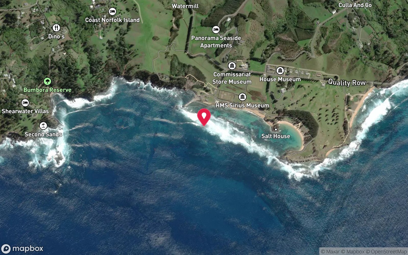
The bay west of Emily Bay at Kingston, inside the fringing reef, with a sandy bottom and shallow coral reef; the HMS Sirius wreck site lies on the outer reef beyond.
Norfolk Island is about 1,450 km east of Brisbane; flights run from Sydney and Brisbane (about 2.5 h; check the current carrier). A hire car is essential. Slaughter Bay is at Kingston between Emily Bay and Kingston Pier, about 10 minutes' drive from Burnt Pine.
Park along Bay Street or at the pier. Signs at the bay mark the safe entry points, which change with the tide. Snorkel gear hire and same-day condition reports are available at the Visitor Information Centre in Burnt Pine.
Entry: Walk in from the beach
Facilities: Parking at Emily Bay and along Quality Row/Bay Street; toilets, picnic shelters and BBQs at Emily Bay; nearest cafes and shops in Burnt Pine (about 10 minutes' drive).
Weather, swell & tides
Emily Bay and Slaughter Bay sit inside the fringing reef at Kingston on the south coast. The reef shelters the lagoon from most swell, but a big southerly or south-easterly swell breaks heavily on the reef crest and can drive water and surge into the bays. Snorkel Slaughter Bay at mid to low tide (signs mark safe entry points at high tide); Emily Bay is calm at most tides.
Water flows out through the reef channels, especially on a falling tide – stay inside the reef. Visibility is up to about 20 m in the bays. Winter south-easterlies make the water choppy but the bays remain usable most days.
Best season: November–April for warmer water and lighter winds; winter can give 40 m visibility but more days lost to wind
If it's blown out
Sheltered or shore sites within 25 km that often work when Slaughter Bay doesn't.
- Emily Bay · 1 km · Max 6 m
- Cemetery Bay · 2 km · Depth not published
- HMS Sirius wreck site · 0 km · Max 8 m
- Kingston Pier · 0 km · Max 12 m
How the dive is usually run
Enter at a signed entry point at mid to low tide and snorkel over the sand and shallow coral, staying inside the reef crest. Night snorkels are possible in calm conditions with a torch.
Marine life
- Surge wrasse
- green wrasse
- Norfolk cardinalfish
- notch-headed marblefish
- Lord Howe moray
- hard corals
- reef fish
Linked species have their own page listing every site where they are recorded. All marine life →
Training required
Shallow enough for snorkellers and for a first dive under supervision. Any certified diver can dive it.
Depth tiers: 0–10 m easy · to 18 m Open Water · 18–30 m Advanced (25 m+ is a deep dive) · 30–40 m Deep specialty · 40 m+ technical. All courses
Hazards & warnings
Unpatrolled; outflowing currents through the reef channels, especially on a falling tide – stay inside the reef; breaking surf on the reef crest; do not stand on coral; no chamber on Norfolk Island.
Dive centres that go here
No operator needed – independent snorkel or shore dive. Snorkel gear hire from the Visitor Information Centre in Burnt Pine (same-day condition reports); glass-bottom boat tours of the lagoon; Norfolk Island Diving can arrange guided shore dives and air.
Operators recorded for Slaughter Bay
Other dive centres in Norfolk Island
Map
7 pinned sites. Pins marked approximate on their pages show the general area only; not for navigation.
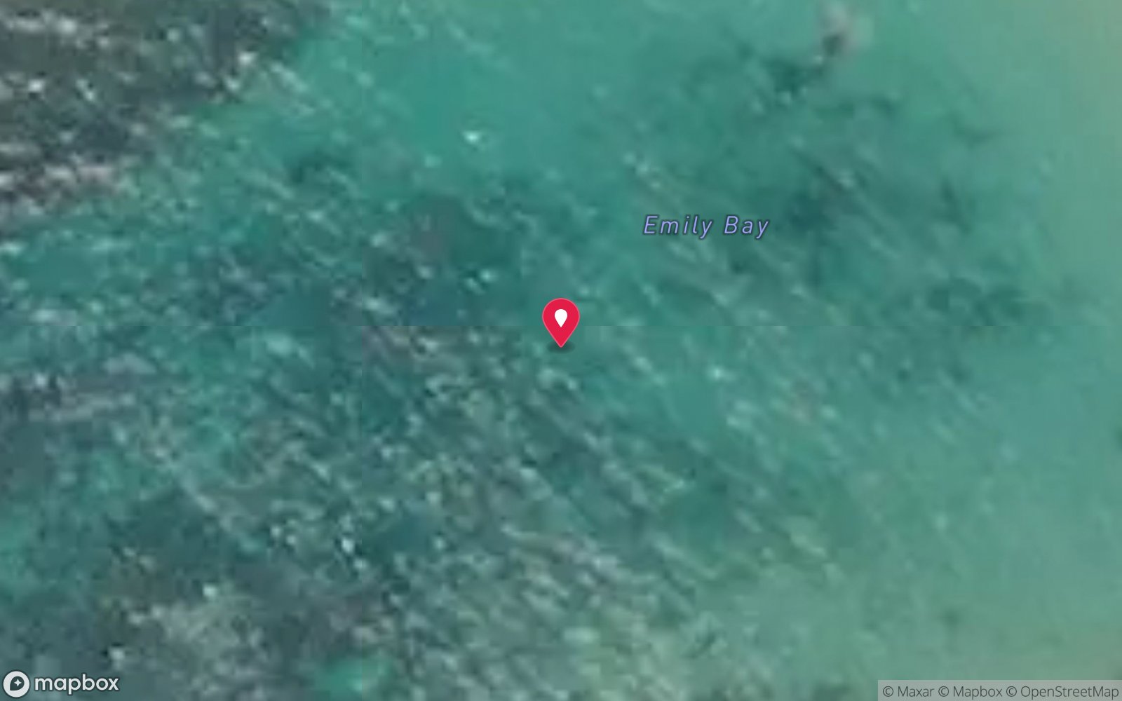
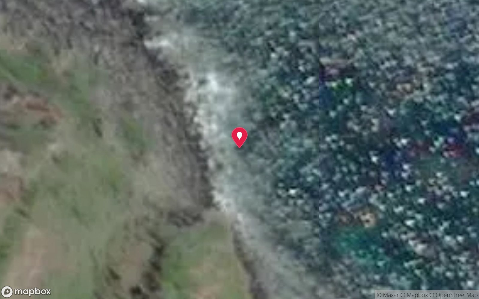
Satellite views
Slaughter Bay: frequently asked questions
How deep is Slaughter Bay?
Slaughter Bay reaches a maximum depth of 6 m, with the shallowest part at about 1 m; most of the dive is spent around 3 m.
What certification do I need to dive Slaughter Bay?
No certification is needed to snorkel it, and it suits introductory dives. Rated beginner: sheltered, shallow and manageable for a newly certified diver on a normal day.
Can I shore dive Slaughter Bay?
Yes. Slaughter Bay is a shore dive that can be done independently: walk in from the beach.
When is the best time to dive Slaughter Bay?
November–April for warmer water and lighter winds; winter can give 40 m visibility but more days lost to wind.
What marine life will I see at Slaughter Bay?
Regularly recorded: Surge wrasse, green wrasse, Norfolk cardinalfish, notch-headed marblefish, Lord Howe moray, hard corals, reef fish.
What wetsuit do I need at Slaughter Bay?
5 mm full suit year-round; add a hood or vest June–October.
How cold is the water at Slaughter Bay?
Typically 22-25 °C in summer and 18-19 °C in winter.
What are the main hazards at Slaughter Bay?
Unpatrolled; outflowing currents through the reef channels, especially on a falling tide – stay inside the reef; breaking surf on the reef crest; do not stand on coral; no chamber on Norfolk Island. See the hazards section above for the full list.
Where is the nearest recompression chamber to Slaughter Bay?
Prince of Wales Hospital (Randwick, Sydney) – about 1,700 km; no chamber on Norfolk Island, aeromedical evacuation from Norfolk Island Airport via the Norfolk Island Health service (Auckland may be used – confirm). In an emergency call 000, then DAN Asia-Pacific on 1800 088 200.
Diving in Norfolk Island
Norfolk Island sits on its own in the Tasman Sea, and its reefs feel like it: subtropical coral and kelp together, arches and swim-throughs in volcanic rock, 20–40 m visibility and endemic fish found nowhere else. Slaughter Bay and Emily Bay inside the lagoon are easy shore dives; the outer sites around Nepean and Phillip islands are boat dives in clear blue water.
Getting there: Fly from Sydney or Brisbane (about two and a half hours). One dive operator on the island runs boat and shore dives depending on the wind.
Sources
- oceanatik.com/destination/norfolk-island/sites/slaughter-bay-5072.html
- norfolkisland.com.au/experiences/outdoor-activities/snorkelling-diving
- marinelife.org.au/?page_id=1473
- nigelmarshphotography.com/blog-posts/norfolk-island-divelog
- australianmarineparks.gov.au/parks/temperate-east-marine-parks-network/norfolk-marine-park
Data confidence: High · Being verified: Origin of the bay's name not verified.. Last updated September 2026. Know this site better? How to send a correction
Nearby dive sites
More shore dives in External Territories
Explore more
This region
Similar dives