Dive slate · divesites.com.au · printed 9 Nov 2026
John Scott
Shipwreck Coast & Warrnambool, Victoria · near Nirranda / Peterborough
| Depth | 1–3 m |
|---|---|
| Minimum level | Open Water |
| Difficulty | Intermediate |
| Access | Shore |
| Entry | Walk down from the end of Mathiesons Road to the shore platform; snorkel or dive in nil swell |
| Current | Mild |
| Visibility | 1-5 m |
| Water | summer 16-19 °C, winter 11-14 °C |
| Suit | 7mm semi-dry with hood and gloves in summer; drysuit strongly preferred May–November |
| Best season | Summer and autumn on nil swell at low tide |
| Bottom time | 25 min |
| Position | -38.53404, 142.73662 (GPS) |
| Permit | Protected historic shipwreck (Heritage Act 2017) |
| Nearest chamber | The Alfred (Melbourne) |
| Emergency | 000 · DAN Asia-Pacific diving emergency 1800 088 200 |
John Scott
Also known as John Scott wreck, Bold Projection, Flaxmans Hill
Iron fastenings and ballast of an 1858 brig in the platform gutters at Bold Projection – a remote heritage snorkel on the Shipwreck Trail.
Near Nirranda / Peterborough · Shipwreck Coast & Warrnambool, Victoria
- Depth
- 1–3 m
- Minimum level
- Open Water
- Access
- Shore
- Boat ride
- —
- Water
- 16-19 °C
- Visibility
- 1-5 m
John Scott1–3 m · Open Water · Shore
Dive factsDepths, conditions, location & safety
Season
Off-peak nowBest months: January, February, March, April, May, December.
Dive facts
- Depth
- 1–3 m
- Typical depth
- 2 m
- Certification
- Open Water
- Difficulty
- Intermediate
- Depth tier
- Easy (0–10 m)
- Access
- Shore
- Offshore
- 0.03 km
- Dive centre needed
- No – independently diveable
- Shore / independent
- Possible (experienced only)
- Current
- Mild
- Visibility
- 1-5 m
- Water temp (summer)
- 16-19 °C
- Water temp (winter)
- 11-14 °C
- Water
- Temperate
- Bottom time
- 25 min
- Dive traffic
- Rarely dived (private boat/club only)
- Night dive
- No
- Snorkel friendly
- Partial
Exposure suit
7mm semi-dry with hood and gloves in summer; drysuit strongly preferred May–November
Location
Flaxmans Hill / Bold Projection · Shipwreck Coast – Nirranda
-38.53404, 142.73662
Published GPS position.
Open in Google MapsPrimary source: scubadoctor.com.auMarine park & permits
Protected historic shipwreck (Heritage Act 2017)
Nearest recompression chamber
The Alfred (Melbourne)
Diving emergency: call 000, then DAN AP 1800 088 200.
Trip planner
Build a trip around John Scott →
A day-by-day plan for Shipwreck Coast & Warrnambool with this site locked in.
This guide is a planning aid. Conditions change daily — confirm with a local dive centre and dive within your training. Data & safety notes.
Dive profile
How this site rates
Scores are computed from the recorded data, not opinions. How?
At a glance
John Scott is a wreck shore dive for experienced divers in Shipwreck Coast & Warrnambool, VIC, 1–3 m, suited to Open Water divers.
Rated intermediate because of cold water.
Why dive here
- Iron fastenings and ballast of an 1858 brig in the platform gutters at Bold Projection – a remote heritage snorkel on the Shipwreck Trail.
- Sunk in 1858 (Two-masted wooden snow, 157 tons, 24 m (78.7 ft)); protected as underwater cultural heritage, so look but do not touch.
- Rarely dived: expect to have the site to yourself, and plan your own logistics.
About John Scott
The John Scott was a two-masted wooden snow – a brig-rigged vessel with a small trysail mast – of 157 tons, built at Hylton near Sunderland in 1848 and measuring 78.7 feet by 20.5 feet. Under Captain Corbett she left Adelaide for Melbourne on 27 January 1858 with a cargo of flour and wheat, a handful of passengers and a crew of eight. In heavy weather and fog before dawn on Sunday 14 February 1858 she ran ashore at Bold Projection below Flaxmans Hill, between what are now Childers Cove and the Bay of Islands. Everyone aboard got ashore safely and was sheltered at McCreddin's station nearby, and the cargo was partly salvaged before the ship broke up. The wreck is one of the earlier losses on this stretch, twenty years before the Loch Ard, and it appears on the Historic Shipwreck Trail as one of the chain of sites between Warrnambool and Peterborough.
As a dive it barely exists. A small softwood vessel lost in the wash zone in 1858 leaves almost nothing, and what survives at Bold Projection is a scatter of iron fastenings, ballast and concreted fragments in the gutters of the shore platform in 2–3 m, visible to a snorkeller at low tide on a flat day. The platform reef itself carries kelp, abalone and the small fish of the intertidal zone. The site is included because it is documented by the Scuba Doctor with a verified position and because it completes the sequence of Shipwreck Coast wrecks between the Antares and the Children; it should be thought of as a heritage walk with a mask rather than a dive, in a remote and beautiful spot at the end of a farm road where you are unlikely to see anyone else.
Wreck details
Two-masted wooden snow, 157 tons, 24 m (78.7 ft) · Sunk 1858 · Protected historic shipwreck
Era: colonial sail and steam. Oldest wrecks · Wartime wrecks · Scuttled warships
Other wrecks of the same era
- Joanna · Max 7 m · Melbourne & Port Phillip Bay
- Empress of the Sea · Max 7 m · Port Phillip Heads
- Schomberg · Max 10 m · Shipwreck Coast & Warrnambool
- New Zealander & Lighthouse Reef, Nuns Beach · Max 4 m · Portland & the West
- Conside · Max 5 m · Port Phillip Heads
- Essington · Max 11 m · Shipwreck Coast & Warrnambool
Getting there & entry
Scant remains of an 1858 wooden snow at Bold Projection below Flaxmans Hill, at the end of Mathiesons Road, Nirranda, in 2–3 m.
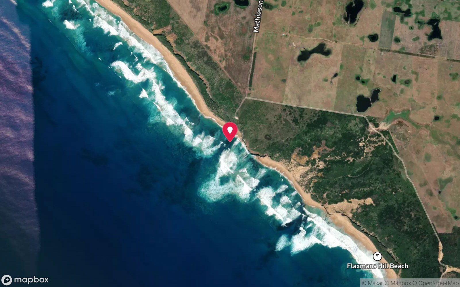
From the Great Ocean Road at Nirranda, between Peterborough and Warrnambool, turn south onto Mathiesons Road and follow it to the parking area at its southern end above the coast at Flaxmans Hill. A track leads down to the shore platform at Bold Projection. The wreck lies in the shallows immediately off the platform.
There are no facilities and no boat access; the nearest ramp is at the Bay of Islands (Boat Bay), 8 km east by road. Check the tide at Childers Cove before visiting.
Entry: Walk down from the end of Mathiesons Road to the shore platform; snorkel or dive in nil swell
Facilities: None – informal parking at the end of Mathiesons Road; nearest facilities Peterborough or Warrnambool.
Weather, swell & tides
Bold Projection is an exposed shore platform facing south-west, and at 2–3 m the site is in the wash zone. It can only be entered when the swell is effectively nil and the wind is offshore, with low tide giving the best chance of seeing anything in the gutters; any swell breaks across the platform. The Scuba Doctor recommends checking Childers Cove tide times.
Visibility is poor whenever there is water movement. In practice a snorkel on a handful of flat summer days.
Best season: Summer and autumn on nil swell at low tide
If it's blown out
Sheltered or shore sites within 25 km that often work when John Scott doesn't.
- Antares · 3 km · Max 6 m
- Children · 7 km · Max 3 m
- Bay of Martyrs · 13 km · Max 10 m
- Falls of Halladale · 13 km · Max 12 m
How the dive is usually run
At low tide in flat conditions, enter from the platform, snorkel or dive the gutters immediately offshore in 1–3 m looking for iron fastenings, ballast and any timber under the ledges, and return to the same point. Keep the visit short and leave at the first sign of a set.
Marine life
- Kelp
- black-lip abalone
- limpets and periwinkles
- small wrasse and sweep in the gutters
Linked species have their own page listing every site where they are recorded. All marine life →
Training required
Shallow enough for snorkellers and for a first dive under supervision. Any certified diver can dive it.
Courses that help here
- Drysuit Diver – Cold water; locals dive dry for much of the year.
- Peak Performance Buoyancy – Silt and low visibility punish poor trim.
Depth tiers: 0–10 m easy · to 18 m Open Water · 18–30 m Advanced (25 m+ is a deep dive) · 30–40 m Deep specialty · 40 m+ technical. All courses
Hazards & warnings
Exposed shore platform in the wash zone; breaking swell; slippery rock; remote farm-road access with no facilities or phone coverage. Protected historic shipwreck – no artefact removal.
Dive centres that go here
No operator – occasional visits by shipwreck enthusiasts and local snorkellers in flat conditions.
Operators recorded for John Scott
Other dive centres in Shipwreck Coast & Warrnambool
Daktari Sport (Daktari Surf & Dive)
Named by sitesPort Fairy · Shipwreck Coast & Warrnambool · VIC
Website live for 2026 with current PADI course prices; stores in Port Fairy, Hamilton and Mount Gambier.
daktarisport.com.au
Port Campbell Boat Charters
Named by sitesPort Campbell · Shipwreck Coast & Warrnambool · VIC
Listed at 32 Lord St Port Campbell offering scenic, fishing, snorkelling and diving trips; a listing says tours were suspended for pier maintenance and current status is unconfirmed.
portcampbellboatcharters.com.au · 0428 986 366
Map
7 pinned sites. Pins marked approximate on their pages show the general area only; not for navigation.
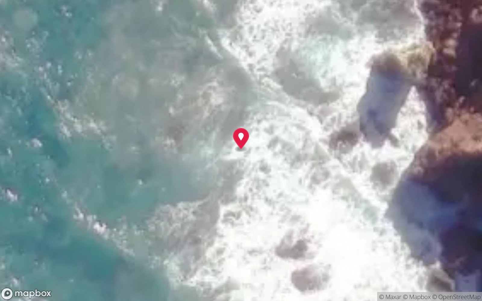
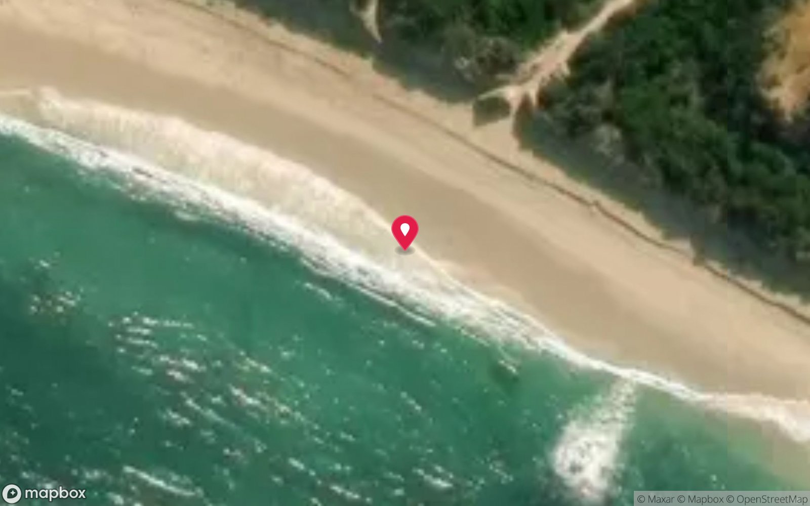
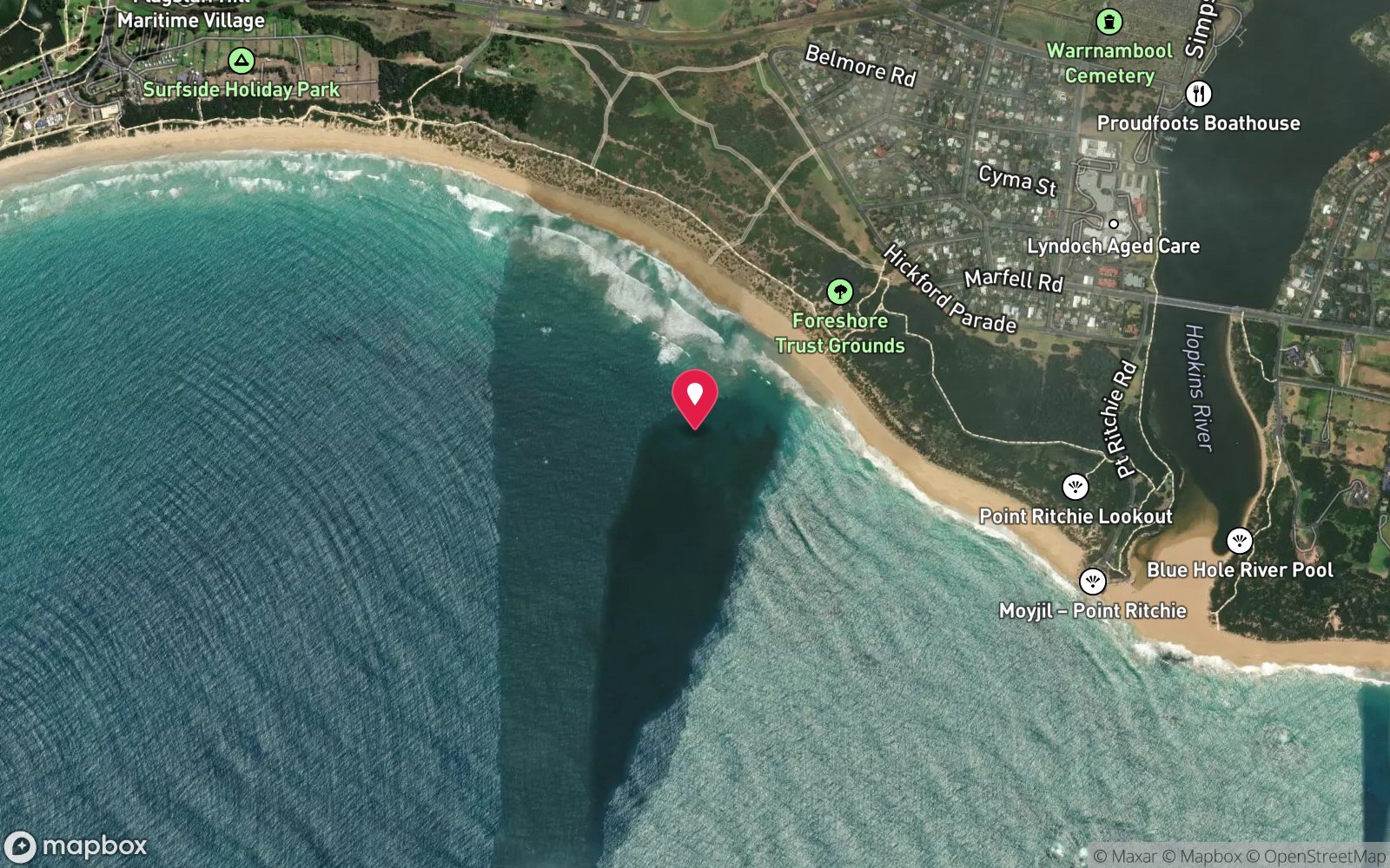
Satellite views
John Scott: frequently asked questions
How deep is John Scott?
John Scott reaches a maximum depth of 3 m, with the shallowest part at about 1 m; most of the dive is spent around 2 m.
What certification do I need to dive John Scott?
Open Water is the recommended minimum. Rated intermediate because of cold water.
Can I shore dive John Scott?
Experienced divers do dive John Scott from the shore, but the entry or conditions make it unsuitable for newer divers without local guidance. Entry: Walk down from the end of Mathiesons Road to the shore platform; snorkel or dive in nil swell.
When is the best time to dive John Scott?
Summer and autumn on nil swell at low tide.
What marine life will I see at John Scott?
Regularly recorded: Kelp, black-lip abalone, limpets and periwinkles, small wrasse and sweep in the gutters.
What wetsuit do I need at John Scott?
7mm semi-dry with hood and gloves in summer; drysuit strongly preferred May–November.
How cold is the water at John Scott?
Typically 16-19 °C in summer and 11-14 °C in winter.
What are the main hazards at John Scott?
Exposed shore platform in the wash zone; breaking swell; slippery rock; remote farm-road access with no facilities or phone coverage. See the hazards section above for the full list.
Where is the nearest recompression chamber to John Scott?
The Alfred (Melbourne). In an emergency call 000, then DAN Asia-Pacific on 1800 088 200.
Diving in Shipwreck Coast & Warrnambool
The coast between Cape Otway and Port Fairy earned its name honestly: the Loch Ard, the Falls of Halladale, the Schomberg and dozens of others lie in the shallows below the limestone cliffs. Warrnambool's Breakwater, Port Fairy's Griffiths Island and the Lady Bay reefs are dived on the rare days of nil swell, and Julia Percy Island has fur seals.
Getting there: Three to four hours west of Melbourne along the Great Ocean Road. Shore dives at Warrnambool and Port Fairy; local club boat dives.
All Shipwreck Coast & Warrnambool dive sites and a suggested itinerary →
Sources
Data confidence: Low · Being verified: Extent of visible remains is not documented; access track condition.. Last updated September 2026. Know this site better? How to send a correction