Dive slate · divesites.com.au · printed 9 Nov 2026
Mayhill Wreck (Geraldton)
Geraldton & Abrolhos Islands, Western Australia · near Geraldton
| Depth | 3–6 m |
|---|---|
| Minimum level | Open Water |
| Difficulty | Beginner |
| Access | Shore |
| Entry | Beach entry and surface swim |
| Current | Mild |
| Visibility | 3-8 m |
| Water | summer 22-24 °C, winter 19-20 °C |
| Suit | 5 mm wetsuit |
| Best season | Calm mornings, March-May and September-November |
| Bottom time | 45 min |
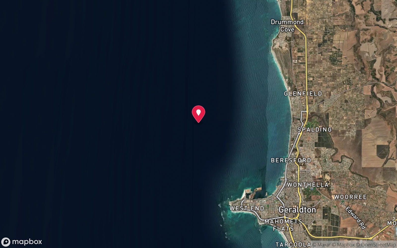
| Position | -28.78000, 114.61000 (approximate) |
| Permit | Protected historic shipwreck. |
| Nearest chamber | Fiona Stanley Hospital Hyperbaric Medicine Unit (Murdoch, Perth) – about 420 km by road; RFDS aeromedical evacuation from Geraldton |
| Emergency | 000 · DAN Asia-Pacific diving emergency 1800 088 200 |
Mayhill Wreck (Geraldton)
Also known as Mayhill
A 100 m spread of iron wreckage from an 1895 loss, 400 m off the Geraldton port entrance.
Near Geraldton · Geraldton & Abrolhos Islands, Western Australia
- Depth
- 3–6 m
- Minimum level
- Open Water
- Access
- Shore
- Boat ride
- —
- Water
- 22-24 °C
- Visibility
- 3-8 m
Mayhill Wreck (Geraldton)3–6 m · Open Water · Shore
Dive factsDepths, conditions, location & safety
Season
In season nowBest months: March, April, May, September, October, November.
Calm mornings, March-May and September-November
- Best months
- Now (November)
- Stinger suit Nov–May
Dive facts
- Depth
- 3–6 m
- Typical depth
- 5 m
- Certification
- Open Water
- Difficulty
- Beginner
- Depth tier
- Easy (0–10 m)
- Access
- Shore
- Offshore
- 0.4 km
- Dive centre needed
- Recommended
- Shore / independent
- Possible (experienced only)
- Current
- Mild
- Visibility
- 3-8 m
- Water temp (summer)
- 22-24 °C
- Water temp (winter)
- 19-20 °C
- Water
- Subtropical
- Bottom time
- 45 min
- Dive traffic
- Rarely dived (private boat/club only)
- Night dive
- No
- Snorkel friendly
- No
Exposure suit
5 mm wetsuit
Location
Geraldton Port · Mid West – Geraldton
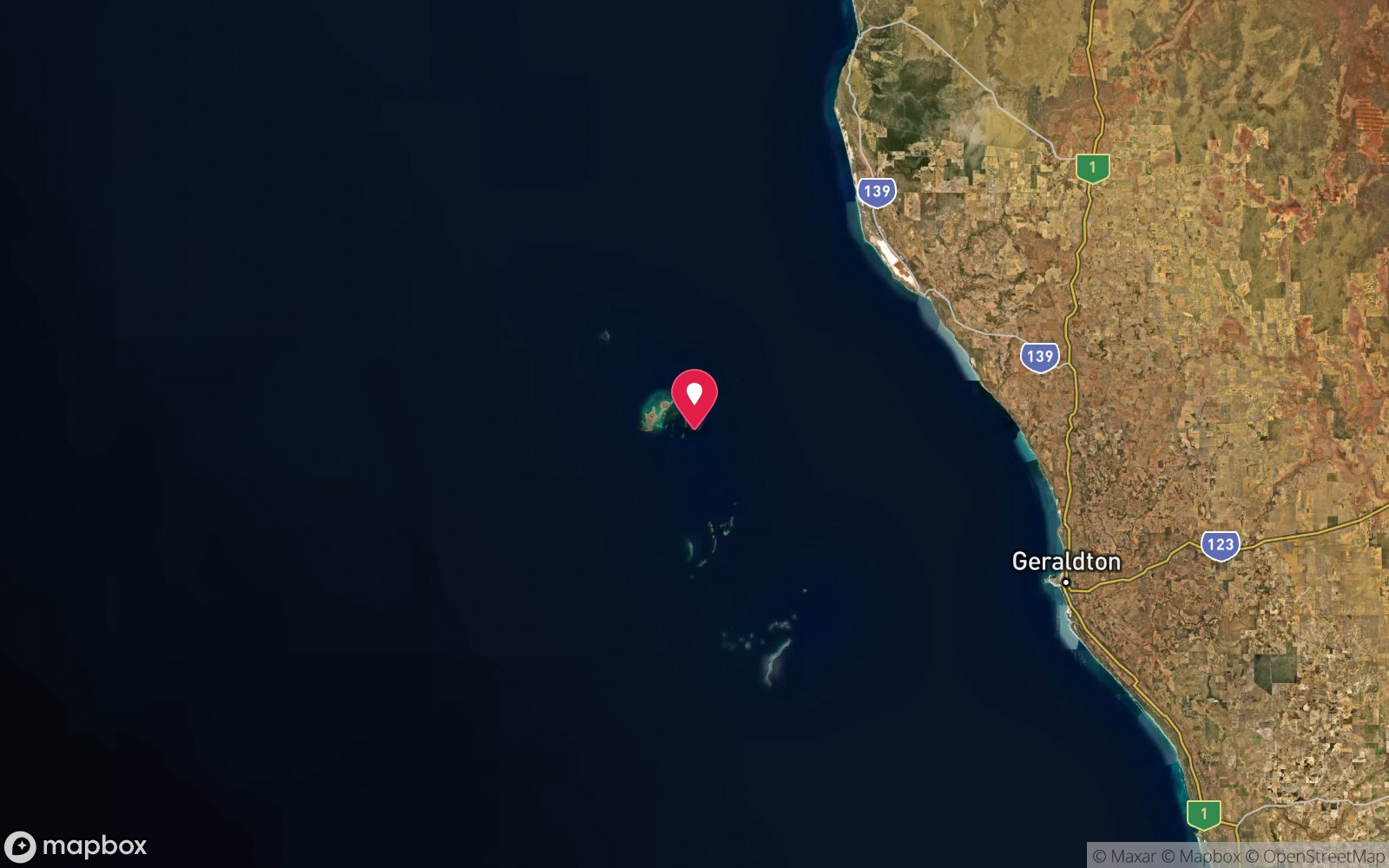
-28.78000, 114.61000
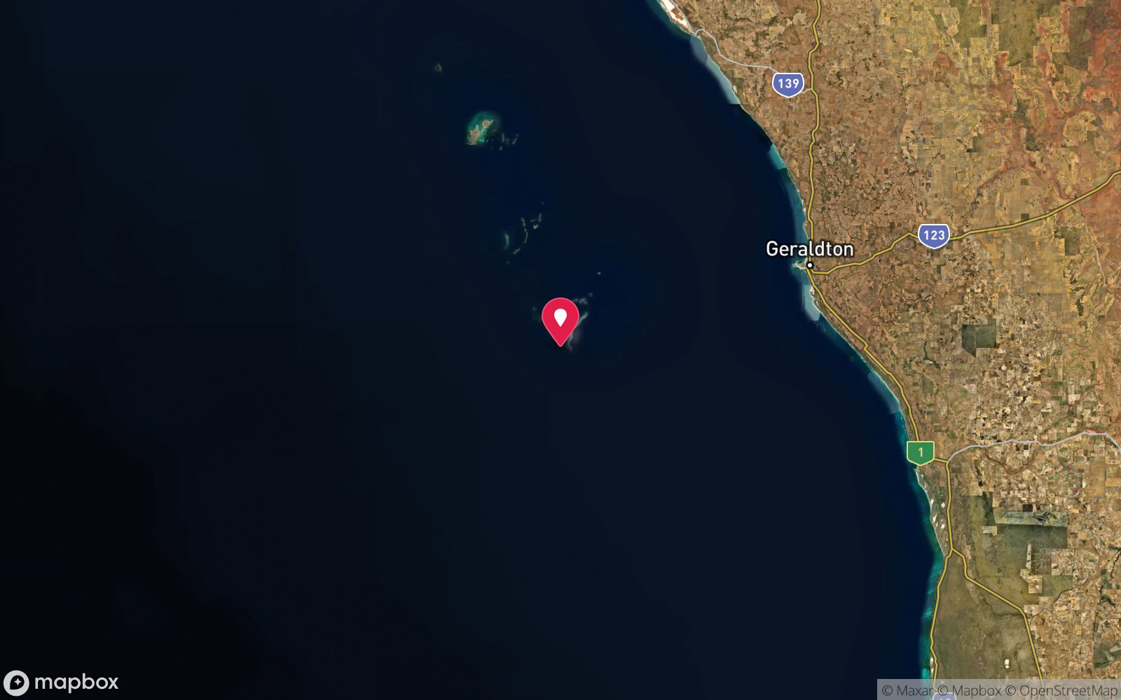
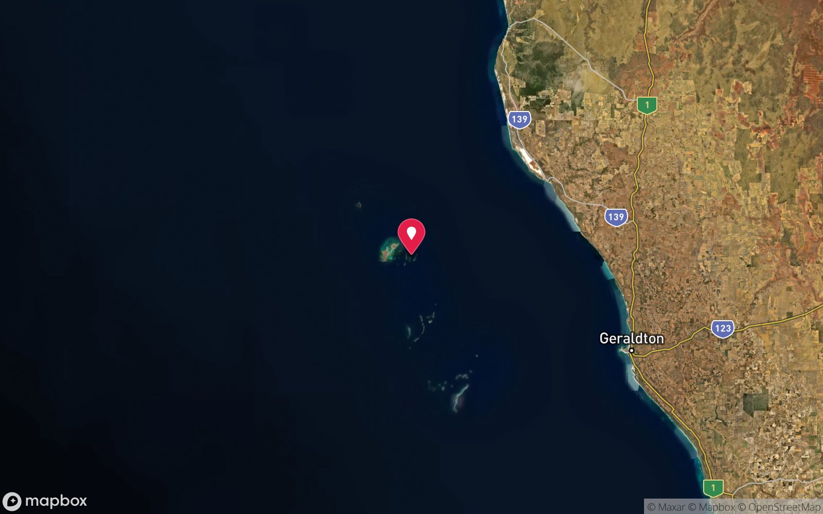
Approximate position — not for navigation.
Open in Google MapsPrimary source: marinelife.org.auMarine park & permits
Protected historic shipwreck.
Nearest recompression chamber
Fiona Stanley Hospital Hyperbaric Medicine Unit (Murdoch, Perth) – about 420 km by road; RFDS aeromedical evacuation from Geraldton
Diving emergency: call 000, then DAN AP 1800 088 200.
Trip planner
Build a trip around Mayhill Wreck (Geraldton) →
A day-by-day plan for Geraldton & Abrolhos Islands with this site locked in.
This guide is a planning aid. Conditions change daily — confirm with a local dive centre and dive within your training. Data & safety notes.
Dive profile
How this site rates
Scores are computed from the recorded data, not opinions. How?
At a glance
Mayhill Wreck (Geraldton) is a wreck shore dive for experienced divers in Geraldton & Abrolhos Islands, WA, 3–6 m, suited to Open Water divers.
Rated beginner: sheltered, shallow and manageable for a newly certified diver on a normal day, though note boat traffic overhead.
Why dive here
- A 100 m spread of iron wreckage from an 1895 loss, 400 m off the Geraldton port entrance.
- Sunk in 1895 (Iron sailing vessel (details not published in sources read)); protected as underwater cultural heritage, so look but do not touch.
- Rarely dived: expect to have the site to yourself, and plan your own logistics.
About Mayhill Wreck (Geraldton)
The Mayhill was lost at Geraldton in 1895, and her iron wreckage now lies spread across an area of about 100 by 20 m in 6 m of water, roughly 400 m south-east of the harbour entrance. Marine Life Network lists it as a shore dive possible only in low swell and light winds.
The scattered plating, frames and fittings have become an artificial reef, with sponges, weed and ascidians on the iron and fish such as buffalo bream, sweep, herring and wrasse sheltering among the wreckage. Crayfish are common in the gaps, as on all Geraldton reefs.
Little else has been published about the site, and it is rarely dived. It is a shallow, easy dive of mostly historical interest for divers based in Geraldton, and a fallback when Point Moore is unsuitable. The wreck is protected historic material.
Wreck details
Iron sailing vessel (details not published in sources read) · Sunk 1895 · Protected historic shipwreck
Era: colonial sail and steam. Oldest wrecks · Wartime wrecks · Scuttled warships
Other wrecks of the same era
- Eddystone · Max 8 m · Pilbara & Dampier
- Europa Wreck (Three Breaks Reef) · Max 14 m · Turquoise Coast
- Ulidia Wreck · Max 6 m · Perth
- Villalta Wreck (Seabird) · Max 3 m · Turquoise Coast
- Lubra Wreck (Jurien Bay) · Max 4 m · Turquoise Coast
- Sepia Wreck · Max 15 m · Perth
Getting there & entry
Iron wreckage of a sailing ship lost in 1895, spread over about 100 x 20 m in 6 m, about 400 m south-east of the Geraldton harbour entrance.
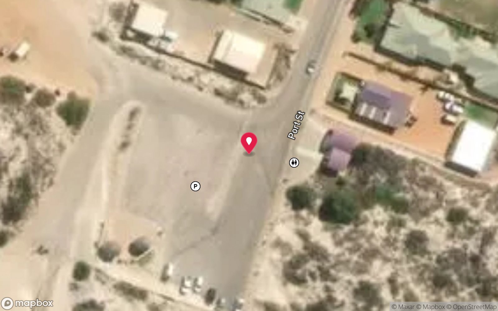
The wreck lies about 400 m south-east of the harbour entrance, off the beaches south of the port. Park along the foreshore south of the harbour and swim out on a GPS heading, or approach by small boat from the harbour in calm conditions. Ask Batavia Coast Dive & Watersports for the current mark and entry.
Entry: Beach entry and surface swim
Weather, swell & tides
Geraldton is one of the windiest towns in Australia: a strong southerly sea breeze blows most afternoons from October to April, often 20-30 knots, and winter brings north-westerly fronts. Marine Life Network estimates Point Moore is diveable only about 60 days a year, with the best windows in March-May and September-November, typically on early mornings or on rare days of easterly land breeze. Marine Life Network notes the Mayhill can only be dived in low swell and light wind.
Best season: Calm mornings, March-May and September-November
If it's blown out
Sheltered or shore sites within 25 km that often work when Mayhill Wreck (Geraldton) doesn't.
- Geraldton Harbour Breakwater & Jetties · 1 km · Max 8 m
- Point Moore (Geraldton) · 3 km · Max 15 m
- Drummond Cove · 12 km · Max 10 m
How the dive is usually run
Swim out on the surface to the mark, descend to the iron wreckage at 5-6 m and explore the 100 m spread of plating and frames, then return to shore on a compass heading.
Marine life
- Buffalo bream
- sweep
- herring
- wrasse
- western rock lobster
- sponges
- weed
Linked species have their own page listing every site where they are recorded. All marine life →
Training required
Shallow enough for snorkellers and for a first dive under supervision. Any certified diver can dive it.
Courses that help here
- Underwater Navigation – Navigation is part of the dive plan.
- Peak Performance Buoyancy – Silt and low visibility punish poor trim.
Depth tiers: 0–10 m easy · to 18 m Open Water · 18–30 m Advanced (25 m+ is a deep dive) · 30–40 m Deep specialty · 40 m+ technical. All courses
Hazards & warnings
Boat traffic near the harbour entrance – fly a flag; low visibility; protected historic wreck.
Dive centres that go here
No regular operator; ask Batavia Coast Dive & Watersports.
Operators recorded for Mayhill Wreck (Geraldton)
Other dive centres in Geraldton & Abrolhos Islands
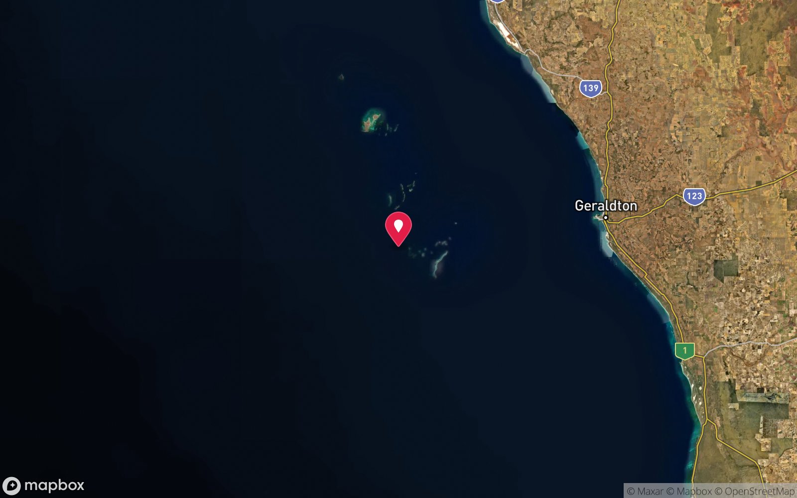
Map
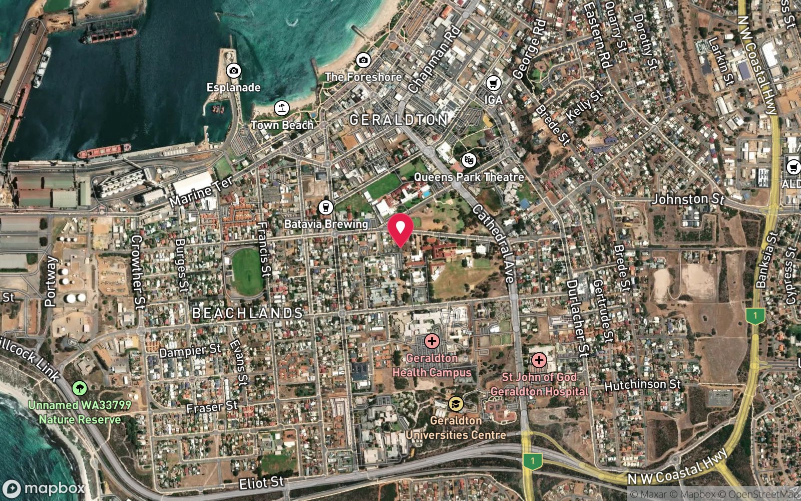
7 pinned sites. Pins marked approximate on their pages show the general area only; not for navigation.
Satellite views
Mayhill Wreck (Geraldton): frequently asked questions
How deep is Mayhill Wreck (Geraldton)?
Mayhill Wreck (Geraldton) reaches a maximum depth of 6 m, with the shallowest part at about 3 m; most of the dive is spent around 5 m.
What certification do I need to dive Mayhill Wreck (Geraldton)?
Open Water is the recommended minimum. Rated beginner: sheltered, shallow and manageable for a newly certified diver on a normal day, though note boat traffic overhead.
Can I shore dive Mayhill Wreck (Geraldton)?
Experienced divers do dive Mayhill Wreck (Geraldton) from the shore, but the entry or conditions make it unsuitable for newer divers without local guidance. Entry: Beach entry and surface swim.
When is the best time to dive Mayhill Wreck (Geraldton)?
Calm mornings, March-May and September-November.
What marine life will I see at Mayhill Wreck (Geraldton)?
Regularly recorded: Buffalo bream, sweep, herring, wrasse, western rock lobster, sponges, weed.
What wetsuit do I need at Mayhill Wreck (Geraldton)?
5 mm wetsuit.
How cold is the water at Mayhill Wreck (Geraldton)?
Typically 22-24 °C in summer and 19-20 °C in winter.
What are the main hazards at Mayhill Wreck (Geraldton)?
Boat traffic near the harbour entrance – fly a flag; low visibility; protected historic wreck. See the hazards section above for the full list.
Where is the nearest recompression chamber to Mayhill Wreck (Geraldton)?
Fiona Stanley Hospital Hyperbaric Medicine Unit (Murdoch, Perth) – about 420 km by road; RFDS aeromedical evacuation from Geraldton. In an emergency call 000, then DAN Asia-Pacific on 1800 088 200.
Diving in Geraldton & Abrolhos Islands
The Houtman Abrolhos, 60 km off Geraldton, are 122 islands with coral reefs, the Batavia (1629) wreck site and huge crayfish populations in water that mixes tropical and temperate species. Geraldton itself has the Point Moore reefs and the SS Sunbeam and other wrecks.
Getting there: Charters and short liveaboards from Geraldton, five hours north of Perth, mostly in spring and autumn.
All Geraldton & Abrolhos Islands dive sites and a suggested itinerary →
Sources
Data confidence: Low · Being verified: Coordinates approximate; vessel type not confirmed. Description under 250 words.. Last updated September 2026. Know this site better? How to send a correction
Nearby dive sites
More wrecks in Western Australia
Explore more
This region