Dive slate · divesites.com.au · printed 9 Nov 2026
Notre Dame d'Arvor Wreck
Yorke Peninsula, South Australia · near Port Victoria
| Depth | 2–6 m |
|---|---|
| Minimum level | Open Water |
| Difficulty | Beginner |
| Access | Boat |
| Entry | Back-roll from a small boat; often snorkelled |
| Current | Mild |
| Visibility | 5-15 m |
| Water | summer 20-24 °C, winter 12-14 °C |
| Suit | 5-7 mm full wetsuit with hood in summer/autumn; 7 mm semi-dry or drysuit in winter |
| Best season | Summer and autumn on calm easterly days |
| Bottom time | 50 min |
| Position | -34.51702, 137.33526 (GPS) |
| Permit | Protected historic shipwreck; Wardang Island Maritime Heritage Trail |
| Nearest chamber | Royal Adelaide Hospital hyperbaric medicine unit (Adelaide) |
| Emergency | 000 · DAN Asia-Pacific diving emergency 1800 088 200 |
Notre Dame d'Arvor Wreck
Also known as Notre Dame D'Avor, Notre Dame d'Arvour
Burnt remains of a French grain barque that ran aground in 1920 – a shallow, poignant snorkel on the Wardang trail.
Near Port Victoria · Yorke Peninsula, South Australia
- Depth
- 2–6 m
- Minimum level
- Open Water
- Access
- Boat
- Boat ride
- ~30 min
- Water
- 20-24 °C
- Visibility
- 5-15 m
Notre Dame d'Arvor Wreck2–6 m · Open Water
Dive factsDepths, conditions, location & safety
Season
Off-peak nowBest months: January, February, March, April, May, December.
Dive facts
- Depth
- 2–6 m
- Typical depth
- 4 m
- Certification
- Open Water
- Difficulty
- Beginner
- Depth tier
- Easy (0–10 m)
- Access
- Boat
- Offshore
- 10 km
- Dive centre needed
- Recommended
- Shore / independent
- No
- Boat ride
- ~30 min
- Current
- Mild
- Visibility
- 5-15 m
- Water temp (summer)
- 20-24 °C
- Water temp (winter)
- 12-14 °C
- Water
- Temperate
- Bottom time
- 50 min
- Dive traffic
- Rarely dived (private boat/club only)
- Night dive
- No
- Snorkel friendly
- Yes
Exposure suit
5-7 mm full wetsuit with hood in summer/autumn; 7 mm semi-dry or drysuit in winter
Location
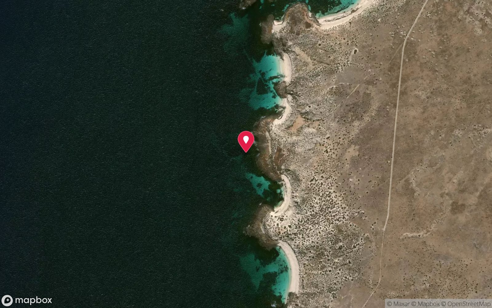
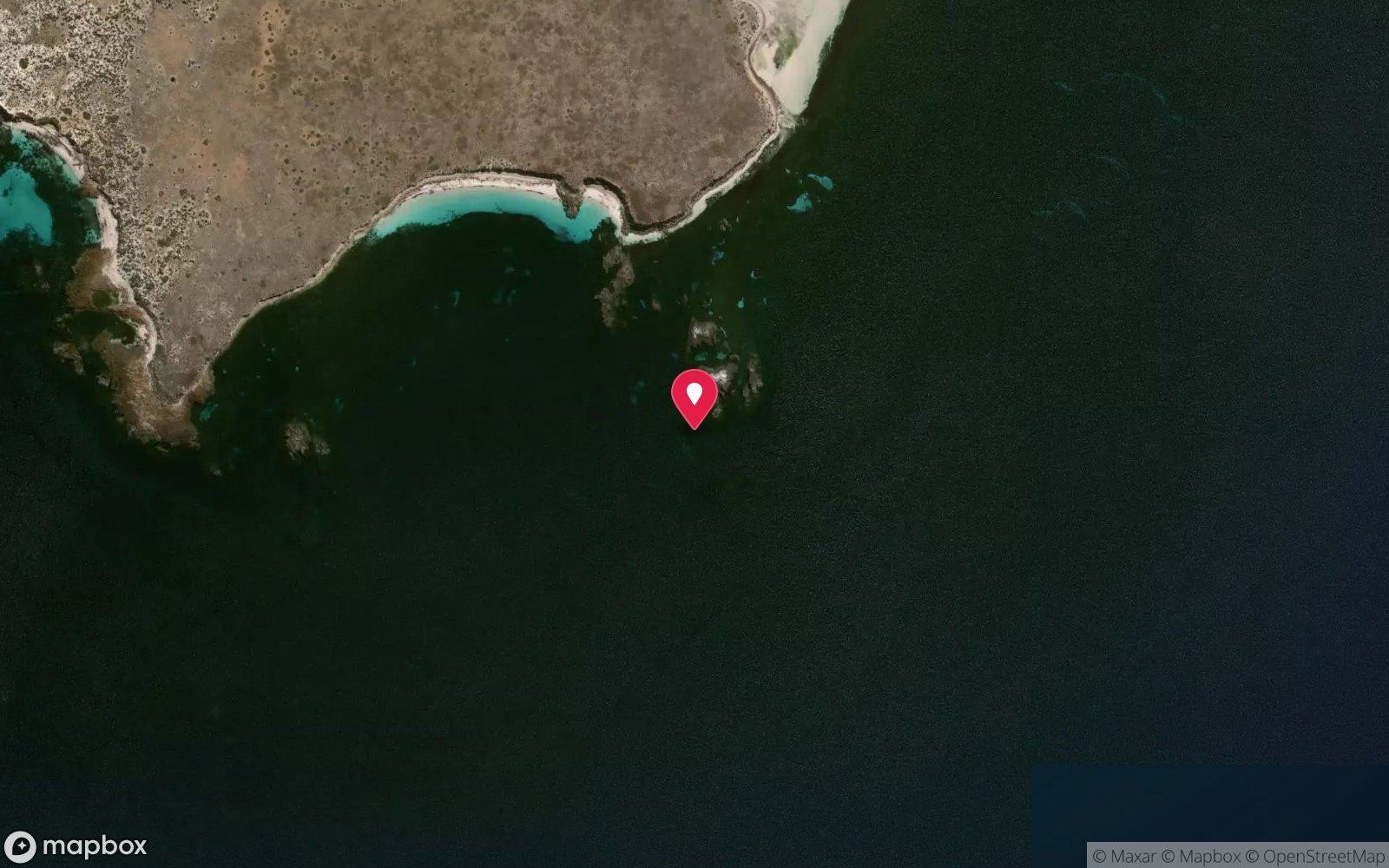
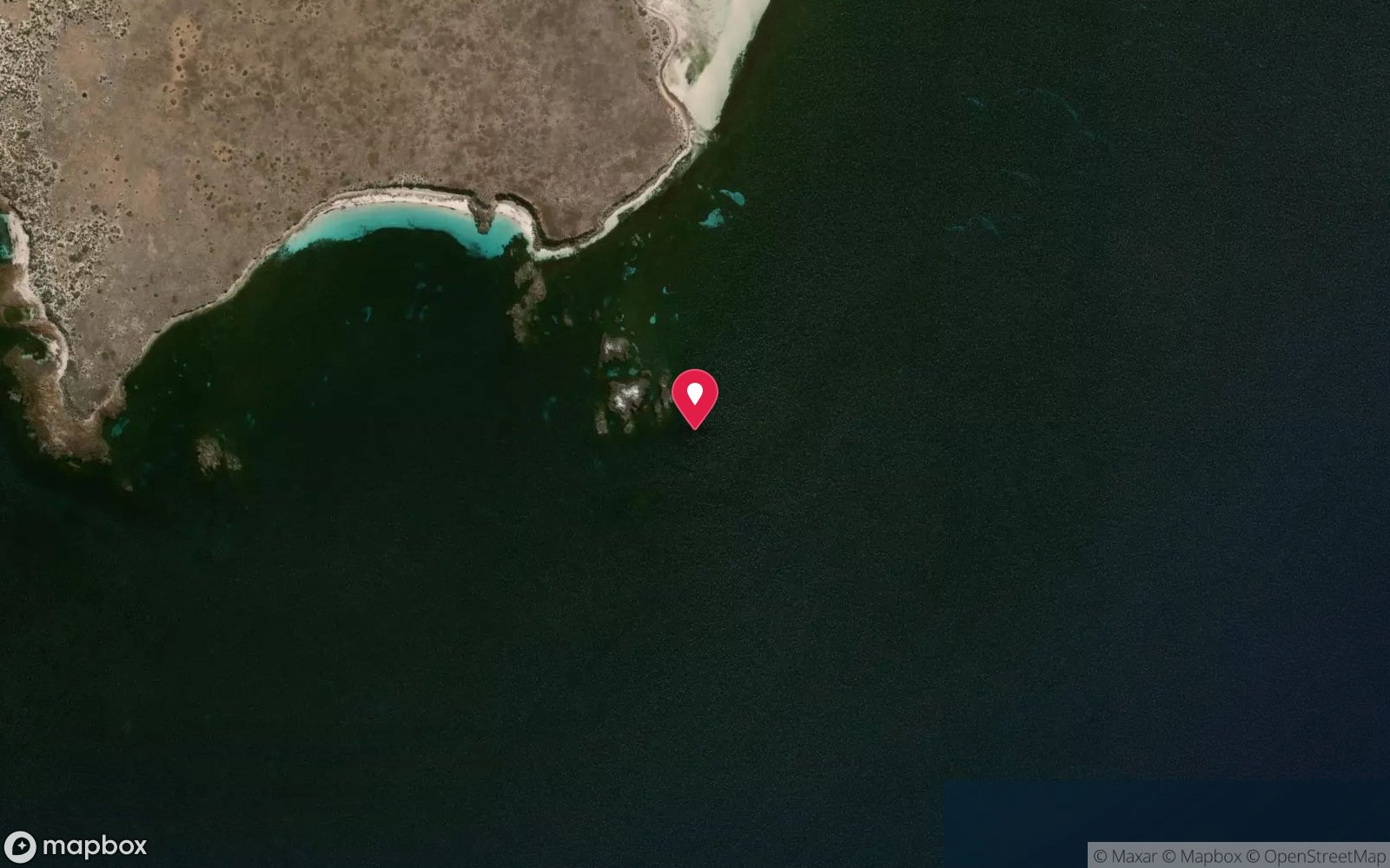
Wardang Island – south-west · Yorke Peninsula – Wardang Island Maritime Heritage Trail
-34.51702, 137.33526
Published GPS position.
Open in Google MapsPrimary source: environment.sa.gov.auMarine park & permits
Protected historic shipwreck; Wardang Island Maritime Heritage Trail
Nearest recompression chamber
Royal Adelaide Hospital hyperbaric medicine unit (Adelaide)
Diving emergency: call 000, then DAN AP 1800 088 200.
Trip planner
Build a trip around Notre Dame d'Arvor Wreck →
A day-by-day plan for Yorke Peninsula with this site locked in.
This guide is a planning aid. Conditions change daily — confirm with a local dive centre and dive within your training. Data & safety notes.
Dive profile
How this site rates
Scores are computed from the recorded data, not opinions. How?
At a glance
Notre Dame d'Arvor Wreck is a wreck boat dive in Yorke Peninsula, SA, 2–6 m, suited to Open Water divers, about 30 minutes by boat.
Rated beginner: sheltered, shallow and manageable for a newly certified diver on a normal day, though note surge on the entry or in the shallows and cold water.
Why dive here
- Burnt remains of a French grain barque that ran aground in 1920 – a shallow, poignant snorkel on the Wardang trail.
- Sunk in 1920 (Three-masted iron barque (French), built 1902 (approx. 85 m)); protected as underwater cultural heritage, so look but do not touch.
- Snorkel-friendly, so non-diving companions can join at the surface.
- Rarely dived: expect to have the site to yourself, and plan your own logistics.
About Notre Dame d'Arvor Wreck
The Notre Dame d'Arvor was a French three-masted iron barque built in 1902 – one of the many French sailing ships that carried grain from South Australia in the early twentieth century, when French government bounties kept a large sailing fleet in service. On 20 March 1920, in a storm, she ran aground on the south-western side of Wardang Island. Efforts to refloat her failed, and she was subsequently destroyed by an accidental fire.
The Department for Environment and Water records the remains in about 4 m, some 150 m from the rocks. The Marine Life Society notes that few visible remains survive, but that interesting items lie at snorkelling depth, some exposed at low water near the rocks. What is left is a low field of iron plating, frames and fittings, burnt and broken, colonised by weed and encrusting life and patrolled by sweep, old wives, leatherjackets and small reef fish.
The wreck's story – a proud French windjammer lost and then burnt – makes it one of the more poignant sites on the Wardang Island Maritime Heritage Trail, and its remains were long regarded as a warning to later mariners about the island's reefs. As a dive it is shallow and modest, best treated as a snorkel or as part of a multi-wreck day with the nearby Investigator. It suits snorkellers and beginner divers on calm days.
Like all the Wardang wrecks, it is protected: fire-blackened fittings and fragments may look like debris, but they are part of the heritage record and must be left in place. Photographs and sightings of anything unusual can be reported to Heritage SA, which monitors the trail sites.
Wreck details
Three-masted iron barque (French), built 1902 (approx. 85 m) · Sunk 1920 · Protected historic shipwreck
Era: early 20th century. Oldest wrecks · Wartime wrecks · Scuttled warships
Other wrecks of the same era
- SS Ferret Wreck · Max 3 m · Yorke Peninsula
- SS Pareora Wreck · Max 15 m · Yorke Peninsula
- SS Investigator Wreck · Max 4 m · Yorke Peninsula
- Kona Wreck (Antechamber Bay) · Max 3 m · Kangaroo Island
- SS MacIntyre Wreck · Max 10 m · Yorke Peninsula
- Songvaar Wreck · Max 10 m · Yorke Peninsula
Getting there & entry
French three-masted barque that ran aground on the south-western side of Wardang Island in 1920 and was later destroyed by fire; remains lie in about 4 m roughly 150 m from the rocks.
From Adelaide drive about 190 km (2 hours 15 minutes) via Port Wakefield and Maitland to Port Victoria. Launch at the Port Victoria boat ramp beside the jetty and run west to Wardang Island – the island's nearest shore is about 8 km away and the southern wreck sites about 11 km (20-30 minutes in a small boat). The Port Victoria Maritime Museum and the Department for Environment and Water trail booklet give site details and coordinates.
Wardang Island is Aboriginal land held by the Point Pearce (Narungga) community: diving the wrecks from a boat is fine, but landing on the island requires permission. The wreck lies on the south-western side of Wardang Island about 150 m from the rocks, roughly 10-11 km from the ramp (25-30 minutes), close to the Investigator. Anchor in sand and approach only in low swell.
Entry: Back-roll from a small boat; often snorkelled
Facilities: Port Victoria ramp, kiosk with air fills.
Weather, swell & tides
Wardang Island lies 8-11 km off Port Victoria in Spencer Gulf. Its western and southern shores – Aagot, Investigator, Notre Dame d'Arvor, Monarch, Australian and MacIntyre – face the open gulf and are subject to south-westerly swell, surge and wind-driven sand movement, so they need low swell and light winds, ideally easterlies. The eastern and northern sites (Songvaar, Moorara) are more sheltered from the prevailing south-westerlies but exposed to northerly and easterly chop.
The 20-30 minute boat run from Port Victoria becomes uncomfortable above about 15 knots. Summer and autumn mornings are the usual window; winter fronts bring days of south-westerly weather. The south-western side takes swell directly; surge makes the shallow remains hard to explore in anything over about 1 m.
Best season: Summer and autumn on calm easterly days
If it's blown out
Sheltered or shore sites within 25 km that often work when Notre Dame d'Arvor Wreck doesn't.
- Port Victoria Jetty · 14 km · Max 8 m
- SS Investigator Wreck · 1 km · Max 4 m
- Monarch Wreck · 2 km · Max 2 m
- Aagot Wreck · 2 km · Max 4 m
How the dive is usually run
Anchor off the site, swim or snorkel over the scattered ironwork at 3-5 m, then continue to the Investigator if gas and conditions allow.
Marine life
- Sweep
- old wives
- leatherjackets
- magpie perch
- small reef fish
- weed and encrusting growth
Linked species have their own page listing every site where they are recorded. All marine life →
Training required
Shallow enough for snorkellers and for a first dive under supervision. Any certified diver can dive it.
Courses that help here
- Drysuit Diver – Cold water; locals dive dry for much of the year.
Depth tiers: 0–10 m easy · to 18 m Open Water · 18–30 m Advanced (25 m+ is a deep dive) · 30–40 m Deep specialty · 40 m+ technical. All courses
Hazards & warnings
Surge on the exposed south-western shore; shallow reef – boat hazard; sharp iron; protected historic shipwreck; no landing on Wardang Island without permission.
Dive centres that go here
No regular operator; visited on Wardang trail trips by Adelaide shops/clubs and private boats.
Other dive centres in Yorke Peninsula
Adelaide Scuba
ListedGlenelg North · Adelaide Metro · SA
An Adelaide business providing training, equipment and local diving support, located near Glenelg.
adelaidescuba.com.au · (08) 8294 7744
Diving Adelaide
ListedMarleston · Adelaide Metro · SA
An Adelaide training and guided diving operation serving local sites and organised trips.
divingadelaide.com.au · (08) 8122 5003
The Dive Shack
ListedGlenelg · Adelaide Metro · SA
An Adelaide business combining retail, servicing and training for South Australian divers.
thediveshack.com.au
All dive centres in South Australia →
Operators mentioned: Private boats; Adelaide clubs
Map
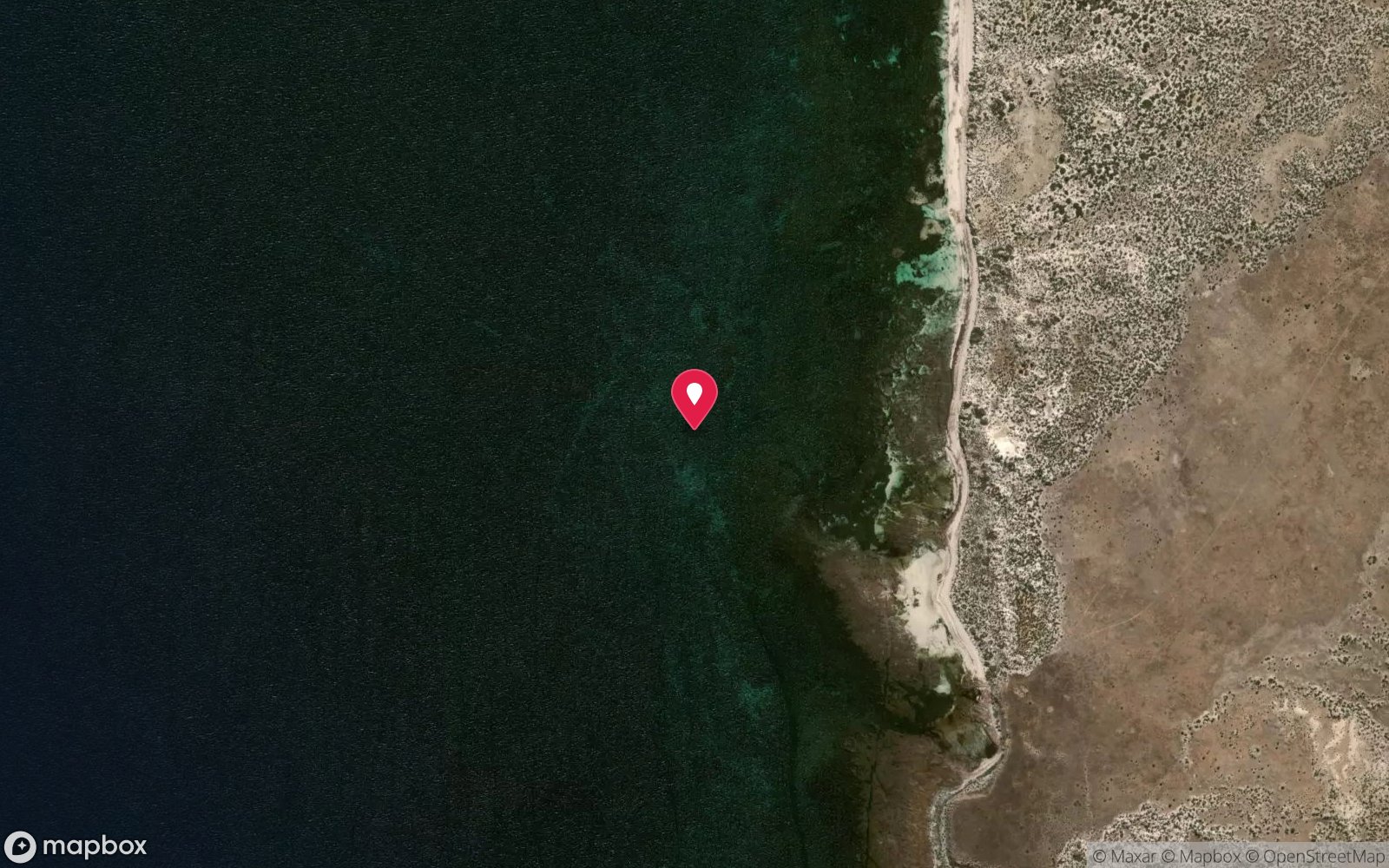
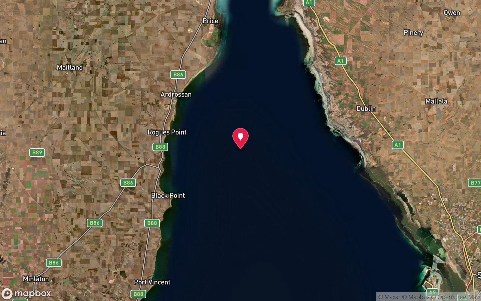
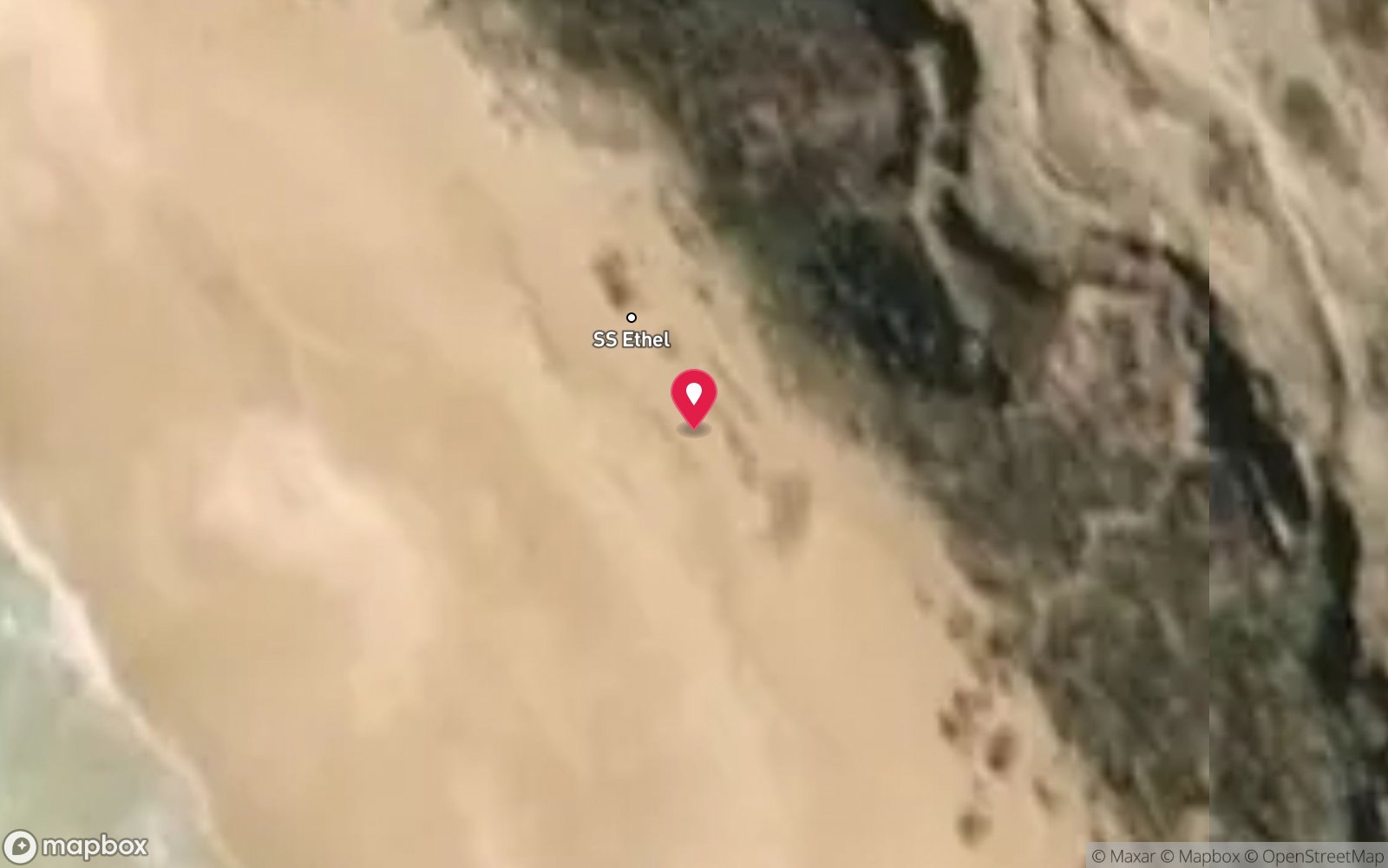
7 pinned sites. Pins marked approximate on their pages show the general area only; not for navigation.
Satellite views
Notre Dame d'Arvor Wreck: frequently asked questions
How deep is Notre Dame d'Arvor Wreck?
Notre Dame d'Arvor Wreck reaches a maximum depth of 6 m, with the shallowest part at about 2 m; most of the dive is spent around 4 m.
What certification do I need to dive Notre Dame d'Arvor Wreck?
Open Water is the recommended minimum. Rated beginner: sheltered, shallow and manageable for a newly certified diver on a normal day, though note surge on the entry or in the shallows and cold water.
Can I shore dive Notre Dame d'Arvor Wreck?
No, it is reached by boat (about 30 minutes).
When is the best time to dive Notre Dame d'Arvor Wreck?
Summer and autumn on calm easterly days.
What marine life will I see at Notre Dame d'Arvor Wreck?
Regularly recorded: Sweep, old wives, leatherjackets, magpie perch, small reef fish, weed and encrusting growth.
What wetsuit do I need at Notre Dame d'Arvor Wreck?
5-7 mm full wetsuit with hood in summer/autumn; 7 mm semi-dry or drysuit in winter.
How cold is the water at Notre Dame d'Arvor Wreck?
Typically 20-24 °C in summer and 12-14 °C in winter.
What are the main hazards at Notre Dame d'Arvor Wreck?
Surge on the exposed south-western shore; shallow reef – boat hazard; sharp iron; protected historic shipwreck; no landing on Wardang Island without permission. See the hazards section above for the full list.
Where is the nearest recompression chamber to Notre Dame d'Arvor Wreck?
Royal Adelaide Hospital hyperbaric medicine unit (Adelaide). In an emergency call 000, then DAN Asia-Pacific on 1800 088 200.
Diving in Yorke Peninsula
The Yorke Peninsula is jetty country. Edithburgh, Port Hughes, Wool Bay, Stenhouse Bay and Port Victoria have some of the richest macro diving in Australia under their pylons: blue devils, pyjama squid, seahorses, tasselled anglerfish, leafy seadragons and carpets of sponges in 5–12 m. Marion Bay and Innes National Park at the southern tip add wrecks, sea lions and clearer open-coast water.
Getting there: Two to four hours west of Adelaide. All the jetties are walk-in shore dives with ladders or beach entries; Innes National Park sites need a park pass.
Sources
- environment.sa.gov.au/topics/heritage/maritime-heritage/visiting-maritime-heritage-places/shipwreck-trails/wardang-island-maritime-heritage-trail
- marinelife.org.au/?page_id=122
Data confidence: Medium · Being verified: Length not confirmed.. Last updated September 2026. Know this site better? How to send a correction
Nearby dive sites
More wrecks in South Australia
Explore more
This region