Dive slate · divesites.com.au · printed 8 Nov 2026
Snug Cove
Kangaroo Island, South Australia · near Kingscote
| Depth | 5–25 m |
|---|---|
| Minimum level | Advanced Open Water |
| Difficulty | Intermediate |
| Access | Shore or Boat |
| Entry | Boat dive; shore access down a steep private track by arrangement only |
| Current | Mild |
| Visibility | 10-20 m |
| Water | summer 17-20 °C, winter 13-14 °C |
| Suit | 7 mm wetsuit with hood most of the year; 5 mm acceptable Feb-Apr; drysuit popular in winter |
| Best season | Summer-autumn on southerly winds |
| Bottom time | 45 min |
| Position | -35.69500, 136.84500 (approximate) |
| Permit | Check Western Kangaroo Island / Northern KI marine park zoning |
| Nearest chamber | Royal Adelaide Hospital hyperbaric medicine unit (Adelaide) – aeromedical retrieval from Kingscote (Kangaroo Island Health Service) is required; ~45 min flight. DAN/Divers Emergency Service 1800 088 200. |
| Emergency | 000 · DAN Asia-Pacific diving emergency 1800 088 200 |
Snug Cove
Also known as Snug Cove (Kangaroo Island)
Walls, gutters and ledges beneath 200 m cliffs on the remote north-west coast, with the Fides wreck nearby.
Near Kingscote · Kangaroo Island, South Australia
- Depth
- 5–25 m
- Minimum level
- Advanced Open Water
- Access
- Shore or Boat
- Boat ride
- —
- Water
- 17-20 °C
- Visibility
- 10-20 m
Snug Cove5–25 m · Advanced Open Water · Shore
Dive factsDepths, conditions, location & safety
Season
Off-peak nowBest months: January, February, March, April, May, December.
Dive facts
- Depth
- 5–25 m
- Typical depth
- 15 m
- Certification
- Advanced Open Water
- Difficulty
- Intermediate
- Depth tier
- Advanced Open Water (18–30 m)
- Access
- Shore or Boat
- Dive centre needed
- Recommended
- Shore / independent
- No
- Current
- Mild
- Visibility
- 10-20 m
- Water temp (summer)
- 17-20 °C
- Water temp (winter)
- 13-14 °C
- Water
- Temperate
- Bottom time
- 45 min
- Dive traffic
- Rarely dived (private boat/club only)
- Night dive
- No
- Snorkel friendly
- Partial
Exposure suit
7 mm wetsuit with hood most of the year; 5 mm acceptable Feb-Apr; drysuit popular in winter
Location
North coast – west (Cape Borda)
-35.69500, 136.84500
Approximate position — not for navigation.
Open in Google MapsPrimary source: marinelife.org.auMarine park & permits
Check Western Kangaroo Island / Northern KI marine park zoning
Nearest recompression chamber
Royal Adelaide Hospital hyperbaric medicine unit (Adelaide) – aeromedical retrieval from Kingscote (Kangaroo Island Health Service) is required; ~45 min flight. DAN/Divers Emergency Service 1800 088 200.
Diving emergency: call 000, then DAN AP 1800 088 200.
Trip planner
Build a trip around Snug Cove →
A day-by-day plan for Kangaroo Island with this site locked in.
This guide is a planning aid. Conditions change daily — confirm with a local dive centre and dive within your training. Data & safety notes.
Dive profile
How this site rates
Scores are computed from the recorded data, not opinions. How?
At a glance
Snug Cove is a wall boat dive in Kangaroo Island, SA, 5–25 m, suited to Advanced Open Water divers.
Rated intermediate because of depth beyond 18 m, surge on the entry or in the shallows, cold water.
Why dive here
- Walls, gutters and ledges beneath 200 m cliffs on the remote north-west coast, with the Fides wreck nearby.
- Rarely dived: expect to have the site to yourself, and plan your own logistics.
- Visibility often reaches 10-20 m.
About Snug Cove
Snug Cove is one of the most dramatic places on the Kangaroo Island coast: a small cove beneath cliffs about 200 m high on the north-west coast, east of Cape Borda. The Marine Life Network describes excellent wall diving, with underwater walls cut by gutters and ledges to 20 m and beyond.
The walls are the attraction. Rocky faces covered in sponges, sea whips and colourful encrusting life drop away into clear blue water, and the gutters and ledges shelter rock lobster, boarfish, magpie morwong and blue-throat wrasse, with cuttlefish tucked into crevices. Out in the water, yellowtail kingfish cruise the edge and western blue groper patrol the reef. The remoteness of the north-west coast means little fishing pressure and big fish.
History is next door: the Finnish-registered barque Fides was wrecked about 500 m west of the cove in 1860 (some sources say 1859) with the loss of most of her crew, and her remains lie broken up against the cliff in an underwater gully (see separate row). Snug Cove itself was also the landing for a small settlement and has had private tourism operations, and land access has varied over the years – which is why boat access is the reliable option.
Because the north coast is sheltered from the prevailing swell, Snug Cove is often diveable when the south and west coasts are not, but northerlies make it dangerous. It suits Advanced divers who enjoy wall dives and remote, uncrowded sites. Bring full cylinders from Kingscote and plan the day around the drive.
Getting there & entry
A cove beneath 200 m cliffs on KI's north-west coast, east of Cape Borda, with underwater walls, gutters and ledges beyond 20 m; the Fides wreck lies 500 m west.
Take the SeaLink ferry from Cape Jervis to Penneshaw (45 min), then drive west via Kingscote and the North Coast Road; the western north-coast sites are 1-1.5 hours from Kingscote on partly unsealed roads (red dirt, corrugations). Snug Cove lies east of Cape Borda below very high cliffs; land access is by steep track and has historically been via private property, so most divers visit by boat from the north coast (e.g. launched at Stokes Bay or brought by a Kingscote operator). Check current access arrangements with local operators before planning a shore dive.
Entry: Boat dive; shore access down a steep private track by arrangement only
Facilities: None – remote. Services and fills in Kingscote.
Weather, swell & tides
Kangaroo Island's north coast faces Investigator Strait and is sheltered from the prevailing south-westerly Southern Ocean swell, so it is the island's most reliable diving coast. It is exposed to northerly and north-westerly winds and swell, which bring surge, poor visibility and dangerous entries – dive on southerly to south-easterly winds or after a few days of southerlies. Summer and autumn have the most settled weather; winter fronts bring north-westerlies before they pass.
Visibility is often 10-20 m in good conditions. Mornings are calmer before sea breezes.
Best season: Summer-autumn on southerly winds
If it's blown out
Sheltered or shore sites within 25 km that often work when Snug Cove doesn't.
- Fides Wreck · 1 km · Max 10 m
- Western River Cove · 11 km · Max 18 m
- Harveys Return · 21 km · Max 10 m
How the dive is usually run
Drop onto the wall near the cove's headland, descend to 18-20 m along the gutters and ledges, then work back up the wall to shallower reef for a long safety stop. Combine with the Fides wreck site 500 m west on a second dive.
Marine life
- Rock lobster
- magpie morwong
- yellowtail kingfish
- boarfish
- blue-throat wrasse
- cuttlefish →
- western blue groper →
- sponges
- sea whips
Linked species have their own page listing every site where they are recorded. All marine life →
Training required
Beyond 18 m an Advanced certification (which includes a deep dive to 30 m) is the accepted minimum. Anything past 25 m is a deep dive in practice.
Courses that help here
- Drysuit Diver – Cold water; locals dive dry for much of the year.
- Peak Performance Buoyancy – Silt and low visibility punish poor trim.
Depth tiers: 0–10 m easy · to 18 m Open Water · 18–30 m Advanced (25 m+ is a deep dive) · 30–40 m Deep specialty · 40 m+ technical. All courses
Hazards & warnings
Remote – far from help; depth beyond 20 m on the walls; surge in northerly weather; limited land access; cold.
Dive centres that go here
Kangaroo Island Dive & Adventures (Kingscote) – guided north-coast boat and shore dives (confirm current trading); otherwise private boats.
Operators recorded for Snug Cove
Other dive centres in Kangaroo Island
Map
7 pinned sites. Pins marked approximate on their pages show the general area only; not for navigation.
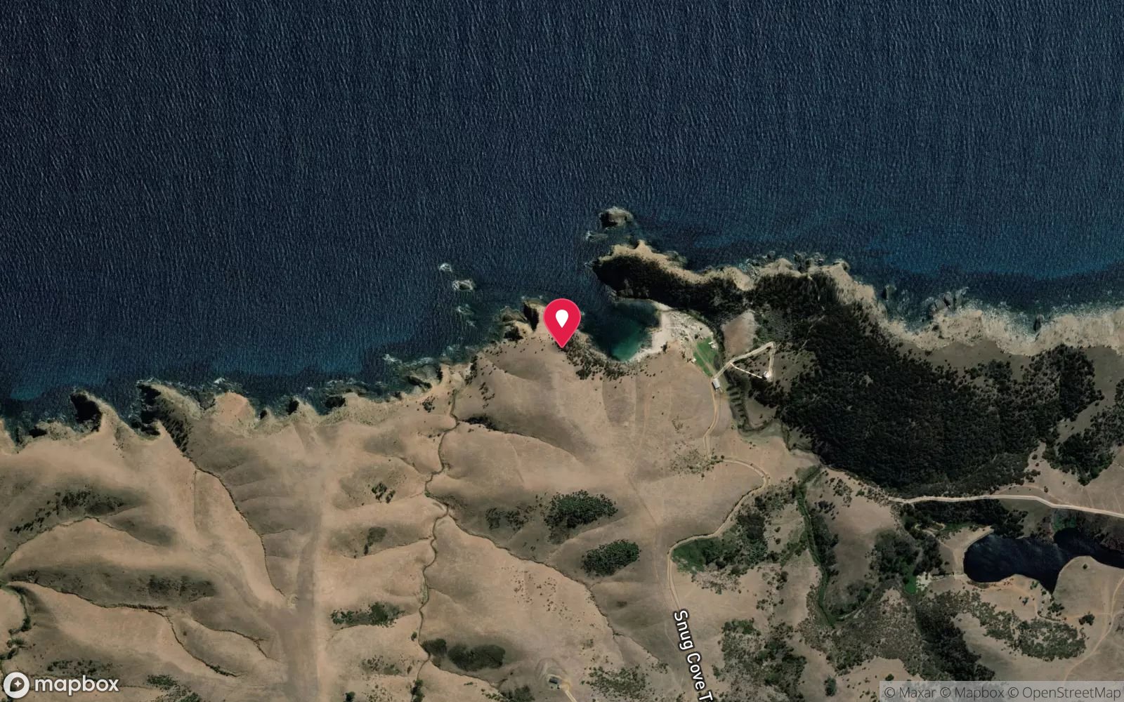
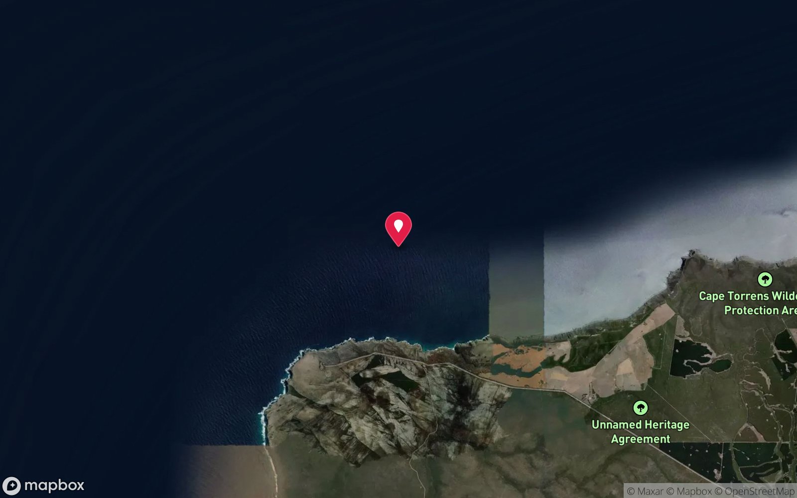
Satellite views
Snug Cove: frequently asked questions
How deep is Snug Cove?
Snug Cove reaches a maximum depth of 25 m, with the shallowest part at about 5 m; most of the dive is spent around 15 m.
What certification do I need to dive Snug Cove?
Advanced Open Water is the recommended minimum. Rated intermediate because of depth beyond 18 m, surge on the entry or in the shallows, cold water.
Can I shore dive Snug Cove?
No, it is reached by boat.
When is the best time to dive Snug Cove?
Summer-autumn on southerly winds.
What marine life will I see at Snug Cove?
Regularly recorded: Rock lobster, magpie morwong, yellowtail kingfish, boarfish, blue-throat wrasse, cuttlefish, western blue groper, sponges, sea whips.
What wetsuit do I need at Snug Cove?
7 mm wetsuit with hood most of the year; 5 mm acceptable Feb-Apr; drysuit popular in winter.
How cold is the water at Snug Cove?
Typically 17-20 °C in summer and 13-14 °C in winter.
What are the main hazards at Snug Cove?
Remote – far from help; depth beyond 20 m on the walls; surge in northerly weather; limited land access; cold. See the hazards section above for the full list.
Where is the nearest recompression chamber to Snug Cove?
Royal Adelaide Hospital hyperbaric medicine unit (Adelaide) – aeromedical retrieval from Kingscote (Kangaroo Island Health Service) is required; ~45 min flight. DAN/Divers Emergency Service 1800 088 200. In an emergency call 000, then DAN Asia-Pacific on 1800 088 200.
Diving in Kangaroo Island
Kangaroo Island has clear water, granite reefs, sea lions and leafy seadragons, and almost nobody dives it. The north coast around Kingscote, Emu Bay and Western River Cove is the sheltered side; the Kingscote jetty is a good easy dive, and the wrecks of the Loch Vennachar and Portland Maru sit on the wild south and west coasts.
Getting there: Ferry from Cape Jervis or a flight from Adelaide. Limited dive services on the island; bring gear and a compressor plan.
Sources
- marinelife.org.au/?page_id=133
- environment.sa.gov.au/topics/heritage/maritime-heritage/visiting-maritime-heritage-places/shipwreck-trails/kangaroo-island
Data confidence: Medium · Being verified: Current land access status unknown; coordinates approximate; marine park zoning to check.. Last updated September 2026. Know this site better? How to send a correction
Nearby dive sites
More wall dives in South Australia
Explore more
This region