Dive slate · divesites.com.au · printed 8 Nov 2026
Topgallant Island
Eyre Peninsula, South Australia · near Elliston
| Depth | 5–20 m |
|---|---|
| Minimum level | Advanced Open Water |
| Difficulty | Advanced |
| Access | Boat (day trip) |
| Entry | Giant stride from a boat |
| Current | Moderate |
| Visibility | 15-25 m |
| Water | summer 17-21 °C, winter 13-15 °C |
| Suit | 5-7 mm full wetsuit with hood in summer/autumn; 7 mm semi-dry or drysuit in winter |
| Best season | Calm late-summer and autumn windows |
| Bottom time | 40 min |
| Position | -33.72000, 134.61000 (approximate) |
| Permit | Investigator Group Conservation Park / West Coast Bays marine park zoning – landing restrictions |
| Nearest chamber | Royal Adelaide Hospital hyperbaric medicine unit (Adelaide) – evacuation via RFDS Central Operations aeromedical retrieval from the nearest airstrip |
| Emergency | 000 · DAN Asia-Pacific diving emergency 1800 088 200 |
Topgallant Island
Also known as Topgallant Isles
Rarely dived walls and gutters to 20 m in clear Bight water off Elliston.
Near Elliston · Eyre Peninsula, South Australia
- Depth
- 5–20 m
- Minimum level
- Advanced Open Water
- Access
- Boat (day trip)
- Boat ride
- ~50 min
- Water
- 17-21 °C
- Visibility
- 15-25 m
Topgallant Island5–20 m · Advanced Open Water
Dive factsDepths, conditions, location & safety
Season
Off-peak nowBest months: January, February, March, April, May, December.
Dive facts
- Depth
- 5–20 m
- Typical depth
- 15 m
- Certification
- Advanced Open Water
- Difficulty
- Advanced
- Depth tier
- Advanced Open Water (18–30 m)
- Access
- Boat (day trip)
- Offshore
- 25 km
- Dive centre needed
- Yes – boat access only
- Shore / independent
- No
- Boat ride
- ~50 min
- Current
- Moderate
- Visibility
- 15-25 m
- Water temp (summer)
- 17-21 °C
- Water temp (winter)
- 13-15 °C
- Water
- Temperate
- Bottom time
- 40 min
- Dive traffic
- Remote/expedition only
- Night dive
- No
- Snorkel friendly
- No
Exposure suit
5-7 mm full wetsuit with hood in summer/autumn; 7 mm semi-dry or drysuit in winter
Location
Investigator Group / Elliston · Eyre Peninsula – West Coast
-33.72000, 134.61000
Approximate position — not for navigation.
Open in Google MapsPrimary source: marinelife.org.auMarine park & permits
Investigator Group Conservation Park / West Coast Bays marine park zoning – landing restrictions
Nearest recompression chamber
Royal Adelaide Hospital hyperbaric medicine unit (Adelaide) – evacuation via RFDS Central Operations aeromedical retrieval from the nearest airstrip
Diving emergency: call 000, then DAN AP 1800 088 200.
Trip planner
Build a trip around Topgallant Island →
A day-by-day plan for Eyre Peninsula with this site locked in.
This guide is a planning aid. Conditions change daily — confirm with a local dive centre and dive within your training. Data & safety notes.
Dive profile
How this site rates
Scores are computed from the recorded data, not opinions. How?
At a glance
Topgallant Island is a island boat dive in Eyre Peninsula, SA, 5–20 m, suited to Advanced Open Water divers, moderate current, about 50 minutes by boat.
Rated advanced because of depth beyond 18 m, cold water.
Why dive here
- Rarely dived walls and gutters to 20 m in clear Bight water off Elliston.
- Rarely dived: expect to have the site to yourself, and plan your own logistics.
- Visibility often reaches 15-25 m.
Conditions to avoid
- Strong southerly or south-east swell and wind
- Strong northerlies
About Topgallant Island
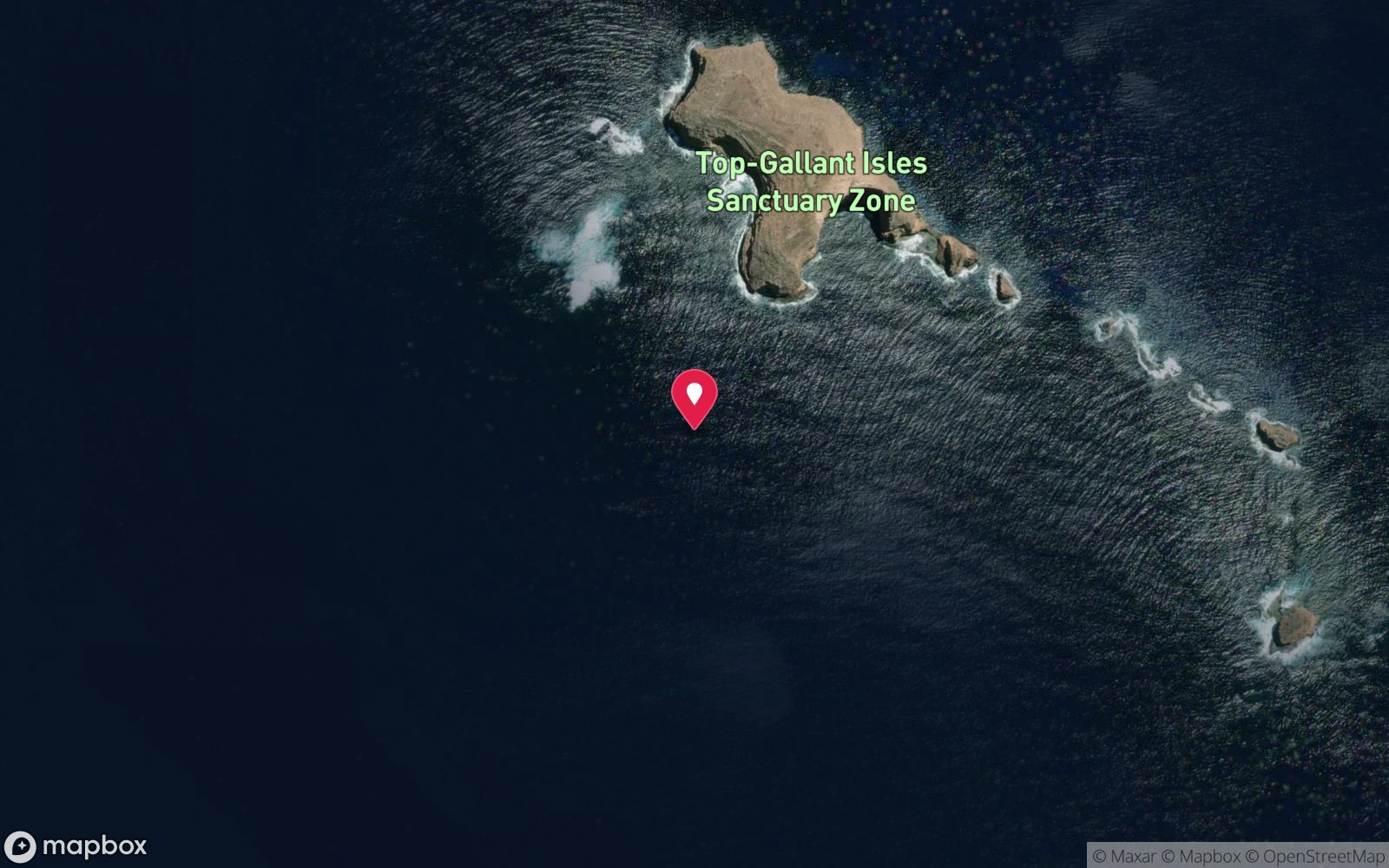
Topgallant Island lies off the Elliston coast in the Great Australian Bight and is one of the least-dived island sites in South Australia. The Marine Life Society describes walls and gutters to about 20 m, especially on the rarely dived exposed side, with western blue groper, silver drummer, horseshoe leatherjackets, scalyfin, magpie perch and blue devils. Oceanic water around the outer islands of the west coast is often very clear, and the walls carry sponges, gorgonians and kelp, with gutters that funnel fish and swell.
Australian sea lions and New Zealand fur seals occur throughout this island group, and dolphins are common. The crossing from Elliston is the main barrier: 25 km of open water facing the Bight, possible only on a small number of calm days each year. The islands are protected, and landing is restricted to protect seabird and seal colonies.
Topgallant suits experienced, self-sufficient boat divers who can pick a weather window. For them it offers a rare chance to dive a wild, clear-water island reef where few divers have ever been. Carry full safety equipment, including a satellite beacon and oxygen, given the distance from help.
Plan the return crossing with plenty of margin, as afternoon sea breezes and building swell can make the run back to Elliston dangerous for small boats.
Getting there & entry
Island group offshore from Elliston with walls and gutters to about 20 m, especially on the rarely dived exposed side.
Launch at the Elliston boat ramp (main swimming beach) and cross west-south-west about 25 km to Topgallant Island (45-60 minutes). This is an exposed open-ocean crossing – only go in calm, settled weather with a seaworthy boat. Carry a VHF radio or satellite beacon, oxygen and spare fuel, and bring full cylinders, as air fills in Elliston are limited.
Entry: Giant stride from a boat
Facilities: None; Elliston ramp and services.
Weather, swell & tides
The west coast of Eyre Peninsula faces the Great Australian Bight and receives almost constant south-westerly Southern Ocean swell; open-coast sites need swell under about 1.5 m and are only diveable a handful of days a month, usually after several days of northerly or easterly winds, which blow offshore. The large sheltered bays (Coffin Bay, Waterloo Bay, Venus Bay, Baird Bay, Streaky Bay, Denial Bay) are protected from swell and can be dived in most conditions except strong onshore winds. Summer brings strong afternoon south-easterly sea breezes; winter brings cold fronts with big swell but also calm, clear spells.
Water is cool: about 14-15°C in winter and 17-21°C in summer.
Best season: Calm late-summer and autumn windows
How the dive is usually run
Choose the lee side, descend on the walls to 15-20 m, follow the gutters, and ascend along the wall; the exposed side only on exceptional days.
Marine life
- Western blue groper →
- silver drummer
- horseshoe leatherjackets
- scalyfin
- magpie perch
- southern blue devils →
- seals and sea lions →
- dolphins
- sponges
- gorgonians
- kelp
Linked species have their own page listing every site where they are recorded. All marine life →
Training required
Beyond 18 m an Advanced certification (which includes a deep dive to 30 m) is the accepted minimum. Anything past 25 m is a deep dive in practice.
Courses that help here
- Drysuit Diver – Cold water; locals dive dry for much of the year.
Depth tiers: 0–10 m easy · to 18 m Open Water · 18–30 m Advanced (25 m+ is a deep dive) · 30–40 m Deep specialty · 40 m+ technical. All courses
Hazards & warnings
Exposed open-ocean crossing; swell; remote from help; white sharks occur in the Bight; landing restrictions.
Dive centres that go here
No operator; private boats only.
Other dive centres in Eyre Peninsula
Calypso Star Charters
ListedPort Lincoln · Eyre Peninsula · SA
A Port Lincoln operation running great white shark cage experiences and sea lion swims. Classified as wildlife tourism rather than a scuba dive centre.
sharkcagediving.com.au · 1300 788 378
The Dive Shop Port Lincoln
ListedPort Lincoln · Eyre Peninsula · SA
A Port Lincoln business providing equipment, fills and dive services — a conventional dive business distinct from the region's cage tourism operators.
thediveshopportlincoln.com.au · (08) 8682 1656
Coffin Bay Scuba Co
Named by sitesCoffin Bay · Eyre Peninsula · SA
Website blocked fetch; phone from Tripadvisor listing (latest review 2023).
coffinbayscuba.com · 0401 811 020
Baird Bay Ocean Eco Experience
Named by sitesBaird Bay · Eyre Peninsula · SA
Sea lion and dolphin swim tours (snorkel), not a scuba operator.
bairdbay.com · (08) 8351 1489
Rodney Fox Shark Expeditions
Named by sitesMile End · Eyre Peninsula · SA
Office in Adelaide; expeditions depart Port Lincoln.
rodneyfox.com.au · (08) 8363 1788
Tumby Bay charters
Named by sitesTumby Bay · Eyre Peninsula · SA
No dive charter operator found in Tumby Bay; only fishing charters located.
All dive centres in South Australia →
Operators mentioned: None
Map
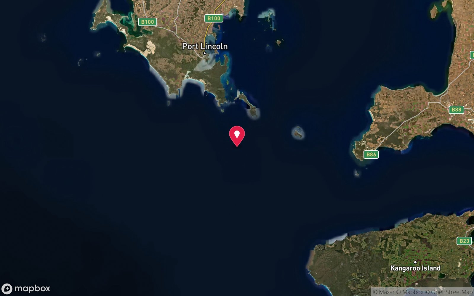
7 pinned sites. Pins marked approximate on their pages show the general area only; not for navigation.
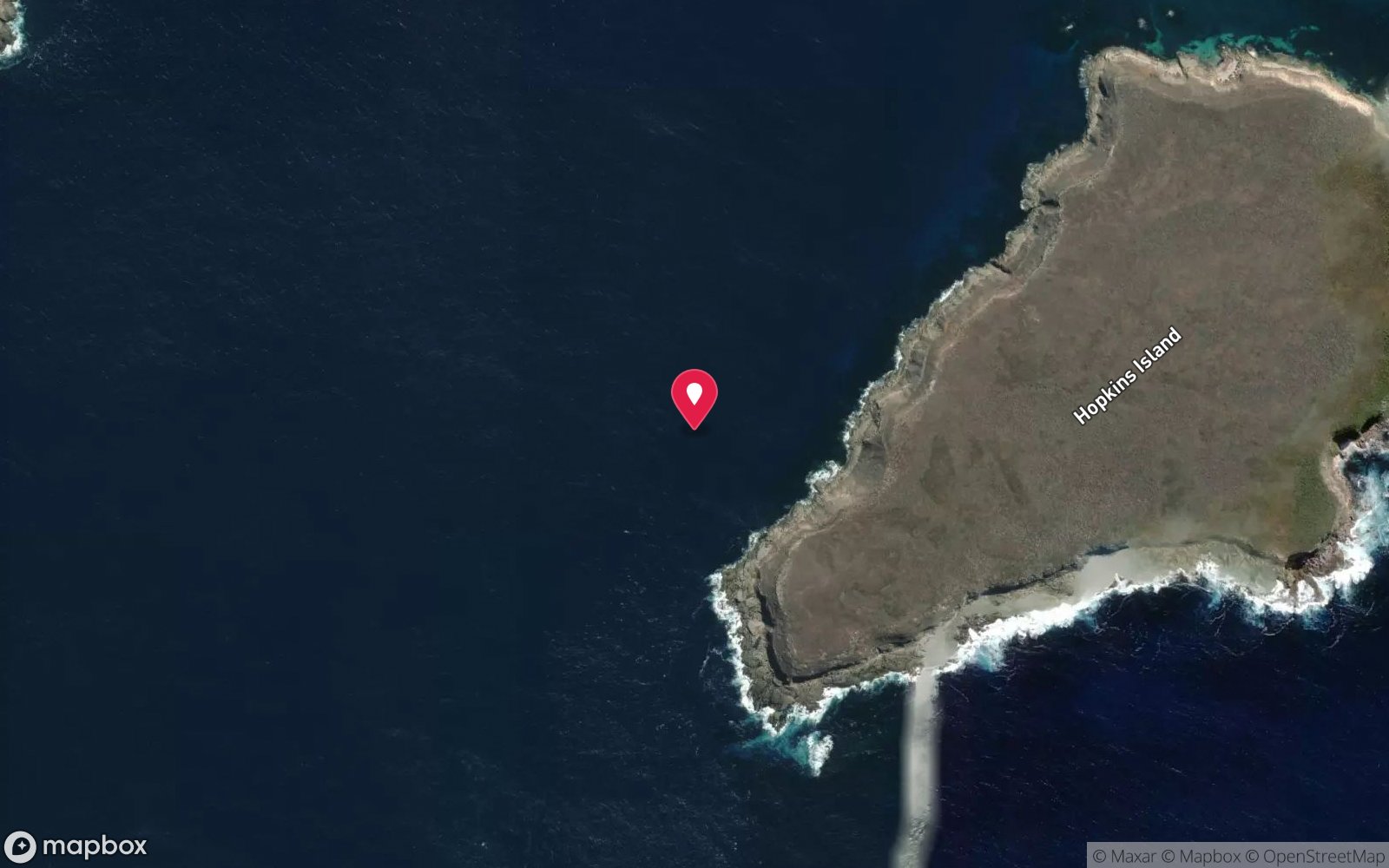
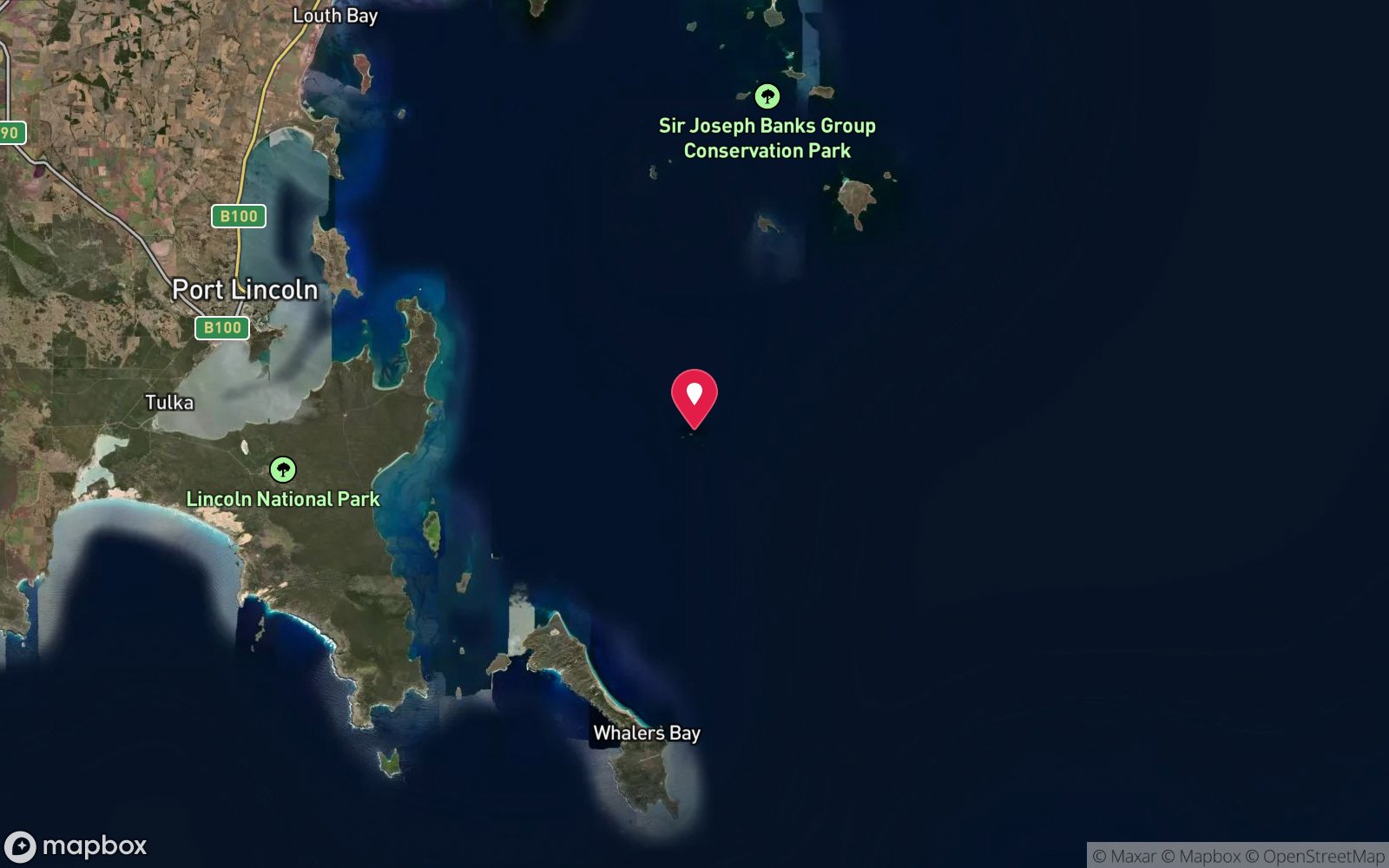
Satellite views
Topgallant Island: frequently asked questions
How deep is Topgallant Island?
Topgallant Island reaches a maximum depth of 20 m, with the shallowest part at about 5 m; most of the dive is spent around 15 m.
What certification do I need to dive Topgallant Island?
Advanced Open Water is the recommended minimum. Rated advanced because of depth beyond 18 m, cold water.
Can I shore dive Topgallant Island?
No, it is reached by boat (about 50 minutes). A dive centre is required: boat access only.
When is the best time to dive Topgallant Island?
Calm late-summer and autumn windows.
What marine life will I see at Topgallant Island?
Regularly recorded: Western blue groper, silver drummer, horseshoe leatherjackets, scalyfin, magpie perch, southern blue devils, seals and sea lions, dolphins, sponges, gorgonians, kelp.
What wetsuit do I need at Topgallant Island?
5-7 mm full wetsuit with hood in summer/autumn; 7 mm semi-dry or drysuit in winter.
How cold is the water at Topgallant Island?
Typically 17-21 °C in summer and 13-15 °C in winter.
What are the main hazards at Topgallant Island?
Exposed open-ocean crossing; swell; remote from help; white sharks occur in the Bight; landing restrictions. See the hazards section above for the full list.
Where is the nearest recompression chamber to Topgallant Island?
Royal Adelaide Hospital hyperbaric medicine unit (Adelaide) – evacuation via RFDS Central Operations aeromedical retrieval from the nearest airstrip. In an emergency call 000, then DAN Asia-Pacific on 1800 088 200.
Diving in Eyre Peninsula
Port Lincoln is the base for Australia's only great white shark cage diving at the Neptune Islands, and for sea lion swims at Hopkins Island and Baird Bay. Around the peninsula's coast are the Port Lincoln jetties, Tumby Bay, the wreck of the Fides and a great deal of clear, cold, unvisited reef.
Getting there: Fly to Port Lincoln or drive seven hours from Adelaide. Shark and sea lion operators run from Port Lincoln and Baird Bay; jetties are shore dives.
Sources
Data confidence: Low · Being verified: Coordinates approximate.. Last updated September 2026. Know this site better? How to send a correction
Nearby dive sites
More island dives in South Australia
Explore more
This region
Marine life