Dive slate · divesites.com.au · printed 7 Nov 2026
TSS Merimbula
Shoalhaven Coast, New South Wales · near Currarong
| Depth | 2–14 m |
|---|---|
| Minimum level | Open Water |
| Difficulty | Beginner |
| Access | Shore or Boat |
| Entry | Short boat ride from Currarong and back roll; or shore entry from Whale Point rocks in calm seas |
| Current | Mild |
| Visibility | 5-15 m |
| Water | summer 19-23 °C, winter 14-17 °C |
| Suit | 5–7 mm wetsuit with hood in summer–autumn; 7 mm semi-dry or drysuit June–October |
| Best season | Winter westerlies; calm summer mornings |
| Bottom time | 50 min |
| Position | -35.00444, 150.82833 (approximate) |
| Permit | Jervis Bay Marine Park (NSW) – check the zoning map: sanctuary zones (no take of any kind) cover much of the Beecroft Peninsula coast including Drum and Drumsticks, The Docks area and Bowen Island; special grey nurse shark rules apply. No permit needed for recreational diving. Historic shipwreck protection applies. |
| Nearest chamber | Prince of Wales Hospital (Randwick, Sydney) – approx. 3 h by road from Jervis Bay; call 000 and DAN Asia-Pacific hotline (evacuation usually by air) |
| Emergency | 000 · DAN Asia-Pacific diving emergency 1800 088 200 |
TSS Merimbula
Also known as Merimbula wreck, Whale Point wreck, SS Merimbula
Two triple-expansion engines, twin boilers, shafts, winch and anchor of a 1928 coastal passenger steamer in 4–14 m.
Near Currarong · Shoalhaven Coast, New South Wales
- Depth
- 2–14 m
- Minimum level
- Open Water
- Access
- Shore or Boat
- Boat ride
- ~3 min
- Water
- 19-23 °C
- Visibility
- 5-15 m
TSS Merimbula2–14 m · Open Water · Shore
Dive factsDepths, conditions, location & safety
Season
Off-peak nowBest months: January, February, June, July, August, December.
Dive facts
- Depth
- 2–14 m
- Typical depth
- 8 m
- Certification
- Open Water
- Difficulty
- Beginner
- Depth tier
- Open Water (10–18 m)
- Access
- Shore or Boat
- Offshore
- 0.1 km
- Dive centre needed
- Recommended
- Shore / independent
- Possible (experienced only)
- Boat ride
- ~3 min
- Current
- Mild
- Visibility
- 5-15 m
- Water temp (summer)
- 19-23 °C
- Water temp (winter)
- 14-17 °C
- Water
- Temperate
- Bottom time
- 50 min
- Dive traffic
- Moderate (occasional charters/club dives)
- Night dive
- Possible
- Snorkel friendly
- Partial
Exposure suit
5–7 mm wetsuit with hood in summer–autumn; 7 mm semi-dry or drysuit June–October
Location
Currarong – Beecroft Peninsula north · Shoalhaven – Crookhaven & Currarong
-35.00444, 150.82833
Approximate position — not for navigation.
Open in Google MapsPrimary source: michaelmcfadyenscuba.infoMarine park & permits
Jervis Bay Marine Park (NSW) – check the zoning map: sanctuary zones (no take of any kind) cover much of the Beecroft Peninsula coast including Drum and Drumsticks, The Docks area and Bowen Island; special grey nurse shark rules apply. No permit needed for recreational diving. Historic shipwreck protection applies.
Nearest recompression chamber
Prince of Wales Hospital (Randwick, Sydney) – approx. 3 h by road from Jervis Bay; call 000 and DAN Asia-Pacific hotline (evacuation usually by air)
Diving emergency: call 000, then DAN AP 1800 088 200.
Trip planner
Build a trip around TSS Merimbula →
A day-by-day plan for Shoalhaven Coast with this site locked in.
This guide is a planning aid. Conditions change daily — confirm with a local dive centre and dive within your training. Data & safety notes.
Dive profile
How this site rates
Scores are computed from the recorded data, not opinions. How?
At a glance
TSS Merimbula is a wreck shore dive for experienced divers in Shoalhaven Coast, NSW, 2–14 m, suited to Open Water divers, about 3 minutes by boat.
Rated beginner: sheltered, shallow and manageable for a newly certified diver on a normal day, though note boat traffic overhead and cold water.
Why dive here
- Two triple-expansion engines, twin boilers, shafts, winch and anchor of a 1928 coastal passenger steamer in 4–14 m.
- Sunk in 1928; protected as underwater cultural heritage, so look but do not touch.
Conditions to avoid
- Strong southerly or south-east swell and wind
- Afternoon north-easterlies
- Outgoing tide or run-off after rain (poor visibility)
About TSS Merimbula
The TSS Merimbula was a twin-screw steel steamer built in 1909 by the Ailsa Shipbuilding Company at Troon, Scotland, for the Illawarra and South Coast Steam Navigation Company. About 64 m (209 ft) long and 1,111 tons, she carried up to 96 first-class and 10 second-class passengers plus cargo on the Sydney-to-Eden coastal run, a mainstay of the South Coast before road transport took over.
She left Sydney bound for Eden on 25 March 1928 and on 27 March, in deteriorating weather, ran aground on Whale Point at Currarong. Salvage attempts failed and she broke up where she lay. Today the wreck is a declared historic shipwreck and one of the most accessible wreck dives on the South Coast. The bow section lies on the rocks, and the hull runs north-north-east from the reef with its bottom plating lying on the rocky reef, largely uncovered. The two triple-expansion, coal-fired engines have fallen outward from the ship, with the port boiler beside the port engine and the starboard boiler further aft. Propeller shafts run from the engines towards the stern, a large winch and anchor lie on the port side, and the stern section has been displaced onto the sand beyond the reef edge at around 13–14 m.
Because it is shallow – most of the wreck lies in 4–13 m – it suits Open Water divers and snorkellers can see parts of it on calm days. The splayed hull plates, rudder gear and machinery are colonised by kelp and reef fish such as blue groper and luderick. It is best done in a calm sea, when surge is minimal, and it is an excellent second dive after the outer Beecroft Peninsula sites or a stand-alone trip for divers staying in Currarong.
Wreck details
Twin-screw steel passenger/cargo steamer, approx. 64 m (209 ft), 1,111 tons, built 1909 Ailsa, Troon · Sunk 1928 · Protected historic shipwreck
Era: early 20th century. Oldest wrecks · Wartime wrecks · Scuttled warships
Other wrecks of the same era
- SS Annie M. Miller wreck · Max 46 m · Sydney South & Botany Bay
- SS Galava wreck · Max 51 m · Central Coast
- MV Malabar wreck (Long Bay) · Max 10 m · Sydney South & Botany Bay
- PS Commodore wreck · Max 36 m · Newcastle & Lake Macquarie
- SS Irresistible wreck · Max 26 m · Newcastle & Lake Macquarie
- SS Osprey wreck · Max 42 m · Newcastle & Lake Macquarie
Getting there & entry
Remains of a 64 m twin-screw coastal passenger steamer wrecked on Whale Point, Currarong, in 1928; hull bottom on the reef, engines, boilers and stern on sand in 4–14 m.
Currarong has three boat ramps – a dual-lane concrete ocean ramp at the eastern end of the village, a sand ramp and a tidal ramp in Currarong Creek. Currarong is about 25 minutes east of Nowra via Culburra Road and Currarong Road (2.5–3 hours from Sydney). The wreck lies off Whale Point, about 3 minutes' run north of the Currarong ocean ramp; McFadyen gives 35° 00' 16" S 150° 49' 42" E (AUS66 datum – about 220 m offset from WGS84).
Shore divers can walk out to Whale Point from the village and enter from the rocks in very calm seas.
Entry: Short boat ride from Currarong and back roll; or shore entry from Whale Point rocks in calm seas
Facilities: Currarong ocean boat ramp, parking, toilets; general store and café in Currarong; air fills in Huskisson or Nowra.
Weather, swell & tides
Whale Point faces north-east into the open sea at the northern tip of the Beecroft Peninsula. The wreck is shallow and needs a calm sea – swell under about 1 m – because surge rolls across the reef and hull plates. It is sheltered from southerly winds and swell, which makes it a good option in southerly weather, but north-easterly winds and swell (common on summer afternoons) make it unpleasant.
Visibility drops after rain and big seas.
Best season: Winter westerlies; calm summer mornings
If it's blown out
Sheltered or shore sites within 25 km that often work when TSS Merimbula doesn't.
- Murrays Beach · 15 km · Max 12 m
- Hyams Beach · 17 km · Max 10 m
- Scottish Rocks · 17 km · Depth not published
- Abrahams Bosom Reserve · 1 km · Depth not published
How the dive is usually run
Start at the bow on the rocks and follow the hull north-north-east over the exposed bottom plating. Inspect the two triple-expansion engines lying outward, the port and starboard boilers and the propeller shafts, then the winch and anchor on the port side, and finish at the stern section on the sand at the reef edge.
Marine life
- Blue groper →
- luderick
- bream
- leatherjackets
- wrasse
- kelp and weed
- sponges on machinery
Linked species have their own page listing every site where they are recorded. All marine life →
Training required
Within the 18 m limit of an entry-level certification.
Courses that help here
- Drysuit Diver – Cold water; locals dive dry for much of the year.
Depth tiers: 0–10 m easy · to 18 m Open Water · 18–30 m Advanced (25 m+ is a deep dive) · 30–40 m Deep specialty · 40 m+ technical. All courses
Hazards & warnings
Shallow and surgy – calm seas only; sharp hull plating; historic shipwreck – no removal or disturbance; boat traffic near the Currarong ramp; Beecroft Weapons Range closures may affect road access to Whale Point and the peninsula.
Technical notes
Protected historic shipwreck (Underwater Cultural Heritage Act 2018).
Dive centres that go here
Occasional trips by Jervis Bay operators and Sydney clubs; mostly private boats from Currarong. No regular scheduled charter.
Operators recorded for TSS Merimbula
Map
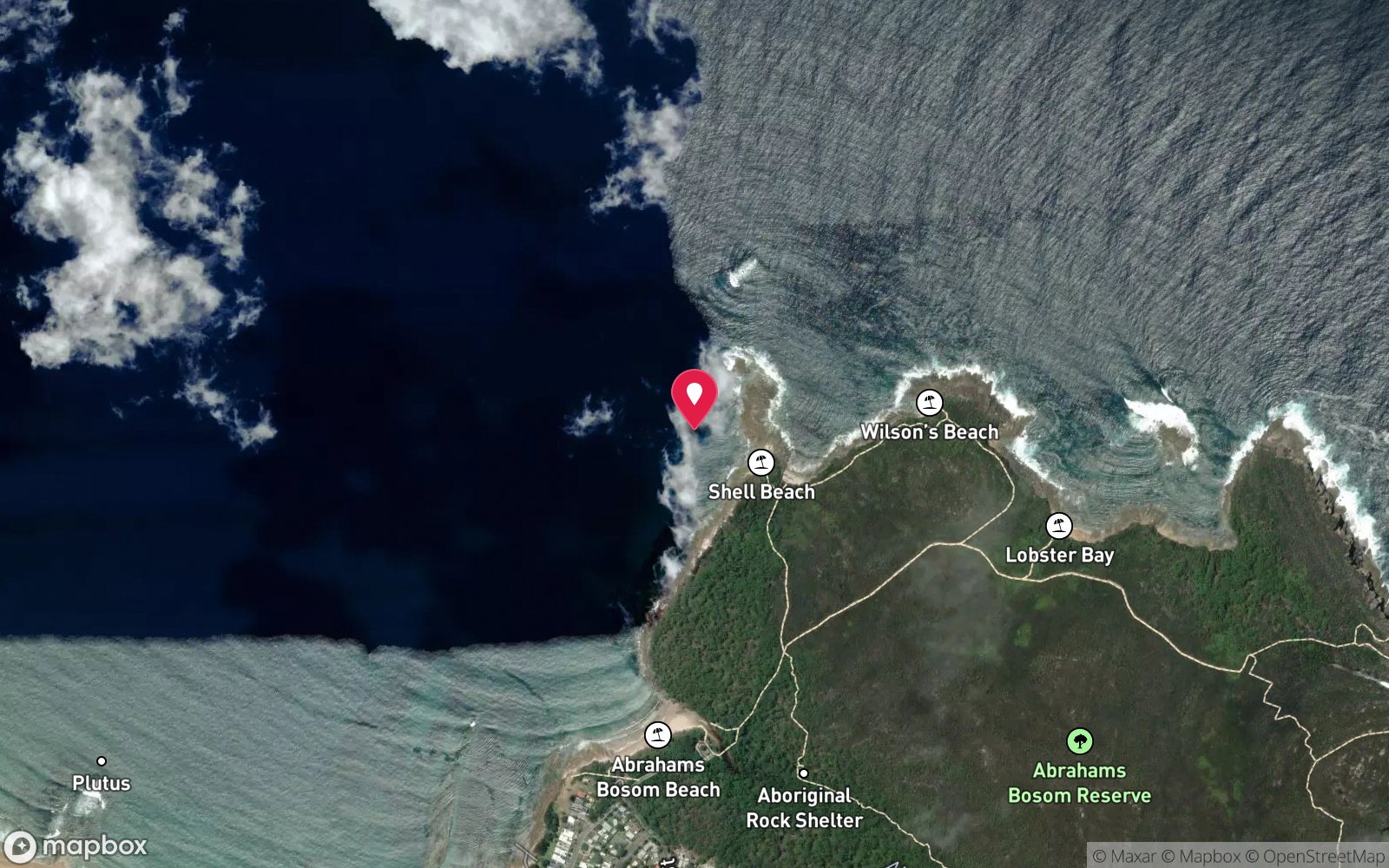
7 pinned sites. Pins marked approximate on their pages show the general area only; not for navigation.
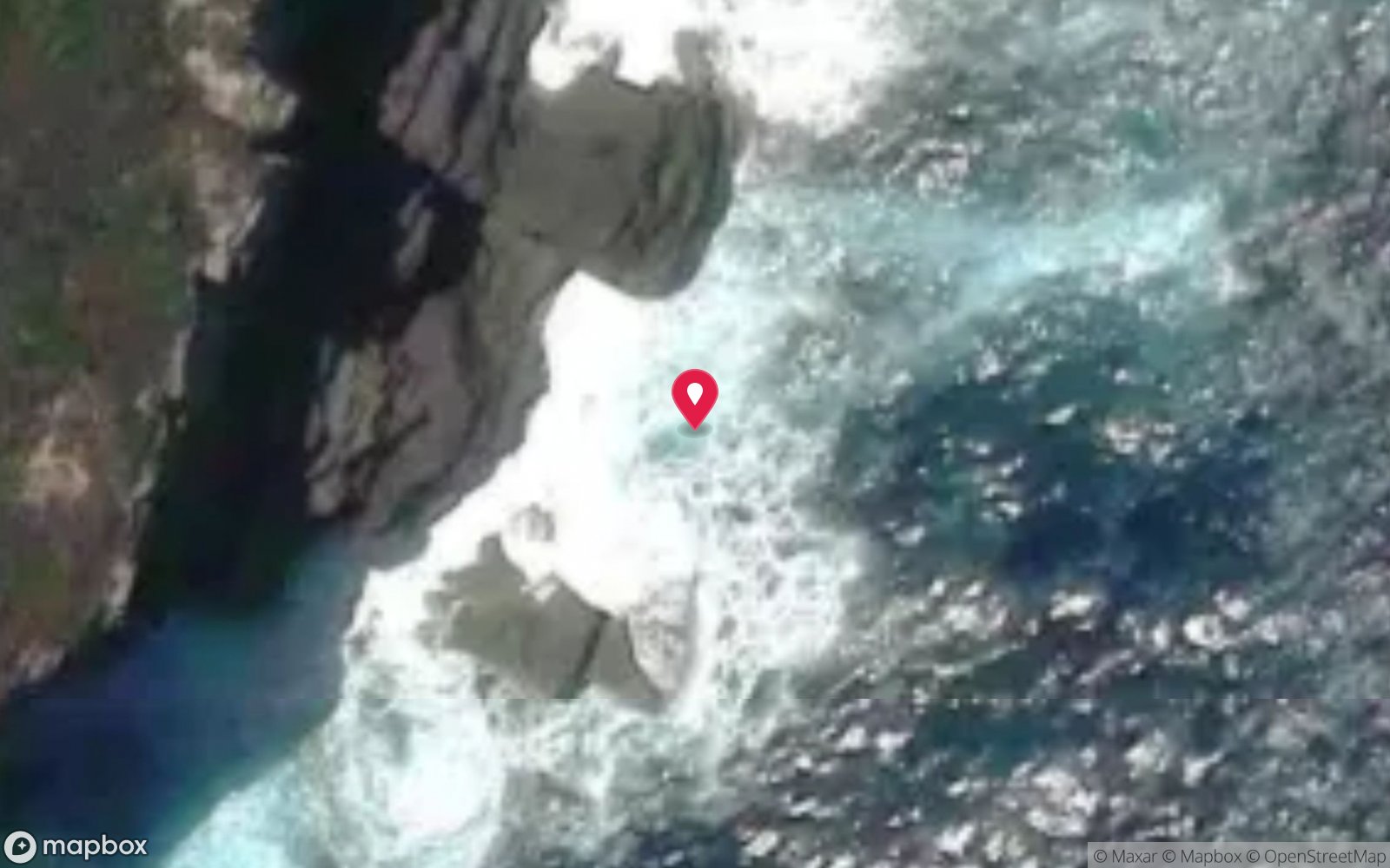
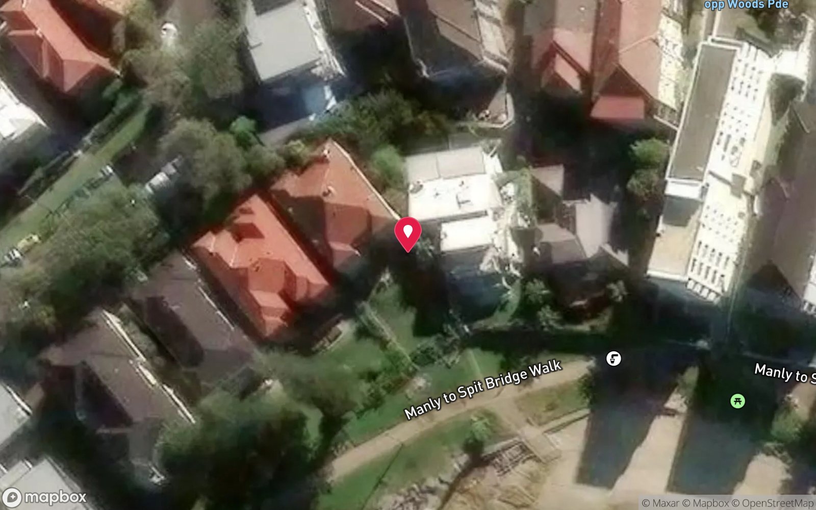
Satellite views
TSS Merimbula: frequently asked questions
How deep is TSS Merimbula?
TSS Merimbula reaches a maximum depth of 14 m, with the shallowest part at about 2 m; most of the dive is spent around 8 m.
What certification do I need to dive TSS Merimbula?
Open Water is the recommended minimum. Rated beginner: sheltered, shallow and manageable for a newly certified diver on a normal day, though note boat traffic overhead and cold water.
Can I shore dive TSS Merimbula?
Experienced divers do dive TSS Merimbula from the shore, but the entry or conditions make it unsuitable for newer divers without local guidance. Entry: Short boat ride from Currarong and back roll; or shore entry from Whale Point rocks in calm seas.
When is the best time to dive TSS Merimbula?
Winter westerlies; calm summer mornings.
What marine life will I see at TSS Merimbula?
Regularly recorded: Blue groper, luderick, bream, leatherjackets, wrasse, kelp and weed, sponges on machinery.
What wetsuit do I need at TSS Merimbula?
5–7 mm wetsuit with hood in summer–autumn; 7 mm semi-dry or drysuit June–October.
How cold is the water at TSS Merimbula?
Typically 19-23 °C in summer and 14-17 °C in winter.
What are the main hazards at TSS Merimbula?
Shallow and surgy – calm seas only; sharp hull plating; historic shipwreck – no removal or disturbance; boat traffic near the Currarong ramp; Beecroft Weapons Range closures may affect road access to Whale Point and the peninsula. See the hazards section above for the full list.
Where is the nearest recompression chamber to TSS Merimbula?
Prince of Wales Hospital (Randwick, Sydney) – approx. 3 h by road from Jervis Bay; call 000 and DAN Asia-Pacific hotline (evacuation usually by air). In an emergency call 000, then DAN Asia-Pacific on 1800 088 200.
Diving in Shoalhaven Coast
Between Jervis Bay and Ulladulla, the Shoalhaven's headlands at Currarong, Culburra and Bendalong have wrecks, caves and reefs that are dived far less than their neighbours. The wreck of the Merimbula at Currarong is a shallow shore dive on a 1928 steamer, and Beecroft Peninsula's outer walls are boat dives for experienced divers.
Getting there: Two and a half hours from Sydney. Shore entries at Currarong and Bendalong; boat dives via Huskisson or Ulladulla operators.
Sources
Data confidence: High · Being verified: Coordinates in v1 approximate; McFadyen mark is AUS66 – convert to WGS84 before publishing.. Last updated September 2026. Know this site better? How to send a correction
Nearby dive sites
More wrecks in New South Wales
Explore more
This region
Similar dives
Marine life