Dive slate · divesites.com.au · printed 9 Nov 2026
Droughty Point
Hobart & Derwent, Tasmania · near Lauderdale
| Depth | 2–10 m |
|---|---|
| Minimum level | Open Water |
| Difficulty | Intermediate |
| Access | Boat (day trip) |
| Entry | Back roll or giant stride from charter boat |
| Current | Mild |
| Visibility | 1-6 m |
| Water | summer 14-18 °C, winter 9-12 °C |
| Suit | Drysuit strongly recommended year-round; 7 mm semi-dry or two-piece 7 mm wetsuit with hood and gloves is the minimum in summer |
| Best season | Late summer to autumn (February-May) for settled weather and best visibility; diveable year-round between fronts |
| Bottom time | 45 min |
| Position | -42.93500, 147.41000 (approximate) |
| Permit | Historic wreck material protected. |
| Nearest chamber | Royal Hobart Hospital Hyperbaric Medicine Unit (Hobart CBD); DAN emergency hotline 1800 088 200 |
| Emergency | 000 · DAN Asia-Pacific diving emergency 1800 088 200 |
Droughty Point
Also known as Tryworks Point, Rotuma wreck
Historic lower-Derwent point near an old whaling station and the 1907 Rotuma wreck site.
Near Lauderdale · Hobart & Derwent, Tasmania
- Depth
- 2–10 m
- Minimum level
- Open Water
- Access
- Boat (day trip)
- Boat ride
- ~12 min
- Water
- 14-18 °C
- Visibility
- 1-6 m
Droughty Point2–10 m · Open Water
Dive factsDepths, conditions, location & safety
Season
Off-peak nowBest months: January, February, March, April, May, December.
Late summer to autumn (February-May) for settled weather and best visibility; diveable year-round between fronts
- Best months
- Now (November)
Dive facts
- Depth
- 2–10 m
- Typical depth
- 6 m
- Certification
- Open Water
- Difficulty
- Intermediate
- Depth tier
- Easy (0–10 m)
- Access
- Boat (day trip)
- Offshore
- 0.2 km
- Dive centre needed
- Yes – boat access only
- Shore / independent
- No
- Boat ride
- ~12 min
- Current
- Mild
- Visibility
- 1-6 m
- Water temp (summer)
- 14-18 °C
- Water temp (winter)
- 9-12 °C
- Water
- Cold Temperate
- Bottom time
- 45 min
- Dive traffic
- Rarely dived (private boat/club only)
- Night dive
- No
- Snorkel friendly
- No
Exposure suit
Drysuit strongly recommended year-round; 7 mm semi-dry or two-piece 7 mm wetsuit with hood and gloves is the minimum in summer
Location
Lower Derwent – eastern shore · Hobart & Derwent Estuary
-42.93500, 147.41000
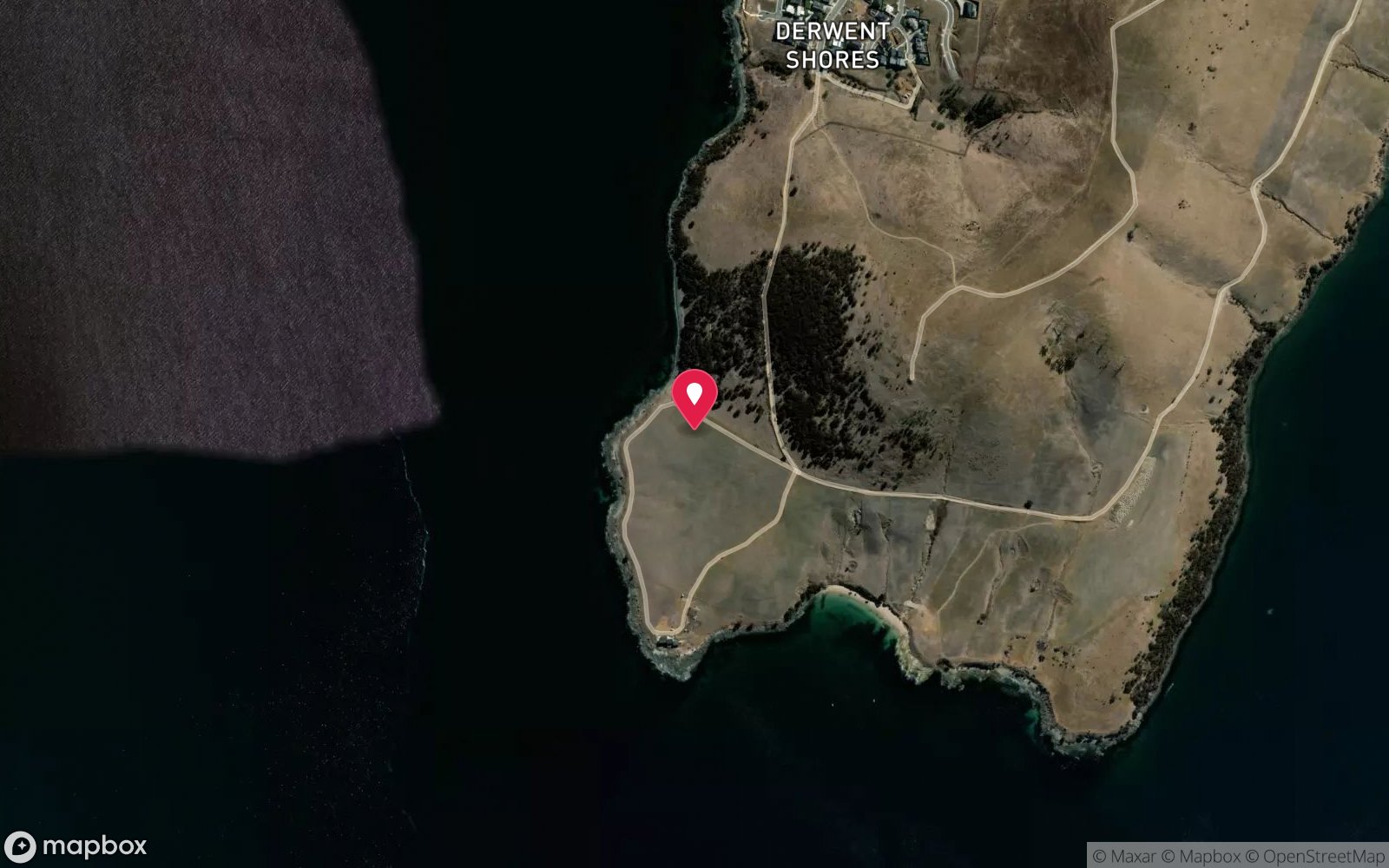
Approximate position — not for navigation.
Open in Google MapsPrimary source: marinelife.org.auMarine park & permits
Historic wreck material protected.
Nearest recompression chamber
Royal Hobart Hospital Hyperbaric Medicine Unit (Hobart CBD); DAN emergency hotline 1800 088 200
Diving emergency: call 000, then DAN AP 1800 088 200.
Trip planner
Build a trip around Droughty Point →
A day-by-day plan for Hobart & Derwent with this site locked in.
This guide is a planning aid. Conditions change daily — confirm with a local dive centre and dive within your training. Data & safety notes.
Dive profile
How this site rates
Scores are computed from the recorded data, not opinions. How?
At a glance
Droughty Point is a reef boat dive in Hobart & Derwent, TAS, 2–10 m, suited to Open Water divers, about 12 minutes by boat.
Rated intermediate because of boat traffic overhead, cold water.
Why dive here
- Historic lower-Derwent point near an old whaling station and the 1907 Rotuma wreck site.
- Sunk in 1907 (Rotuma – wooden barque, 225 tons); protected as underwater cultural heritage, so look but do not touch.
- Rarely dived: expect to have the site to yourself, and plan your own logistics.
Conditions to avoid
- Strong southerly or south-east swell and wind
- Strong northerlies
- Outgoing tide or run-off after rain (poor visibility)
About Droughty Point
Droughty Point is a low headland on the eastern shore of the Derwent between Rokeby and Ralphs Bay, south-east of central Hobart. The Marine Life Network guide describes a muddy bottom with sponge life in 2-10 m, shallow close to the south-east point but with rocks extending well out, a few crayfish, and visibility that depends on river silt and is best at high tide. It also records history: an old whaling station at Tryworks Point nearby, and the wreck of the wooden barque Rotuma, lost in 1907 (225 tons).
Little of a wooden wreck survives a century in the Derwent, so expect scattered timbers or fittings at most. The reef is a mix of rocks and mud typical of the lower estuary, supporting sponges, sea squirts and small invertebrates, with flathead, leatherjackets and wrasse, and the ubiquitous Northern Pacific seastars on the mud. It is a modest site, attractive mainly for its history and its proximity to Hobart's eastern suburbs, and useful as a sheltered alternative when Storm Bay is rough.
Offshore from the point lies a deeper trench where a section of Hobart's old floating bridge was sunk, now a more demanding dive in its own right. Documentation is limited to an older guide, so expect to explore and to find conditions very dependent on recent rainfall. A short boat ride from Lauderdale, it can be combined with the floating bridge section offshore for experienced divers, or with a snorkel in the shallows for less experienced members of the group.
Rain in the Derwent catchment in the preceding week is the best predictor of a poor dive here; plan it after a dry spell and on the top of the tide.
Wreck details
Rotuma – wooden barque, 225 tons · Sunk 1907 · Protected historic shipwreck
Era: early 20th century. Oldest wrecks · Wartime wrecks · Scuttled warships
Other wrecks of the same era
- Eden Holme (Hebe Reef) · Max 7 m · Tasmania North & North-West
- SS Kawatiri (Hells Gates) · Max 4 m · Tasmania West Coast
- Loch Finlas (Fosters Island Reef) · Max 24 m · Tasmania North-East
- Mayfield (Swan Island wreck) · Max 9 m · Tasmania North-East
- Quiet Corner – Natal Queen Wreck · Max 4 m · Bruny Island & D'Entrecasteaux Channel
- G.W. Wolff (Prime Seal Island) · Max 5 m · Flinders Island & Furneaux Group
Getting there & entry
Point on the eastern shore of the lower Derwent, south-east of Hobart, with rocks extending well out over a muddy bottom and the remains of the barque Rotuma nearby.
Boat access. The Marine Life Network guide names Doran's Road, Lauderdale, as the best boat ramp: from Hobart cross the Tasman Bridge and follow the South Arm Highway to Lauderdale (about 25 minutes). From the ramp, run west across Ralphs Bay neck or around to Droughty Point, about 10-15 minutes.
Anchor in mud off the rocks. The old whaling station at Tryworks Point is nearby.
Entry: Back roll or giant stride from charter boat
Facilities: Lauderdale boat ramp (Doran's Road); shops at Lauderdale; fills in Hobart.
Weather, swell & tides
The Derwent estuary is sheltered from ocean swell, but strong northerly or southerly winds blow along its length and raise a short, steep chop; the Marine Life Network notes the region can become very rough in gales, even in the river. Visibility is the limiting factor: it is usually low (1-5 m) and worst after rain, when the Derwent's tannin-stained, silty floodwater spreads through the estuary. Dive after a dry spell, on a high or flood tide that brings in clearer marine water.
There is a noticeable but generally mild tidal flow. Diving is possible year-round; winter water is cold (9-11 °C). The Marine Life Network notes visibility is clearest at high tide and that the point is exposed to southerly weather.
Best season: Late summer to autumn (February-May) for settled weather and best visibility; diveable year-round between fronts
If it's blown out
Sheltered or shore sites within 25 km that often work when Droughty Point doesn't.
- Tinderbox Marine Reserve · 15 km · Max 12 m
- Kingston Beach (Handfish site) · 8 km · Max 8 m
- Blackmans Bay · 10 km · Max 12 m
- Sloping Island Kelp Forest · 19 km · Max 12 m
How the dive is usually run
Anchor off the south-east point, descend to the rocks at 5-8 m and follow them out towards 10 m over the mud, looking for sponges and crayfish. Return along the rocks towards the point.
Marine life
- Sponges
- sea squirts
- crayfish (few)
- flathead
- leatherjackets
- wrasse
- Northern Pacific seastars (invasive)
Linked species have their own page listing every site where they are recorded. All marine life →
Training required
Shallow enough for snorkellers and for a first dive under supervision. Any certified diver can dive it.
Courses that help here
- Drysuit Diver – Cold water; locals dive dry for much of the year.
- Peak Performance Buoyancy – Silt and low visibility punish poor trim.
Depth tiers: 0–10 m easy · to 18 m Open Water · 18–30 m Advanced (25 m+ is a deep dive) · 30–40 m Deep specialty · 40 m+ technical. All courses
Hazards & warnings
Low visibility; boat traffic in the Derwent; exposed to southerlies; do not disturb historic material.
Dive centres that go here
No regular operator; private boats and club divers from Lauderdale.
Operators recorded for Droughty Point
Other dive centres in Hobart & Derwent
Tasmania Tech and Dive Centre
ProfiledHobart & Derwent · TAS
The Tasmanian operation most clearly associated with technical diving services, spanning recreational and technical training with technical gas support.
Tasmanian Divers North
ListedLaunceston · Tasmania North & North-West · TAS
A northern Tasmanian operation serving the Bass Strait coastline and local diving community.
tasdivers.com.au · (03) 6229 1020
Tasmanian Divers South
ListedKingston · Hobart & Derwent · TAS
A southern Tasmanian operation serving the Hobart region and surrounding diving.
tasdivers.com.au · (03) 6229 1020
The Dive Shop Hobart
ListedHobart · Hobart & Derwent · TAS
A Hobart equipment and service business supporting local cold-water divers.
thediveshophobart.com.au · (03) 6234 3428
Underwater Adventures Tasmania
Reported closedBattery Point · Bruny Island & D'Entrecasteaux Channel · TAS
Reported permanently closed on Tripadvisor; last reviews 2013; formerly ran from Battery Point jetty (underwateradventures.com.au).
Map
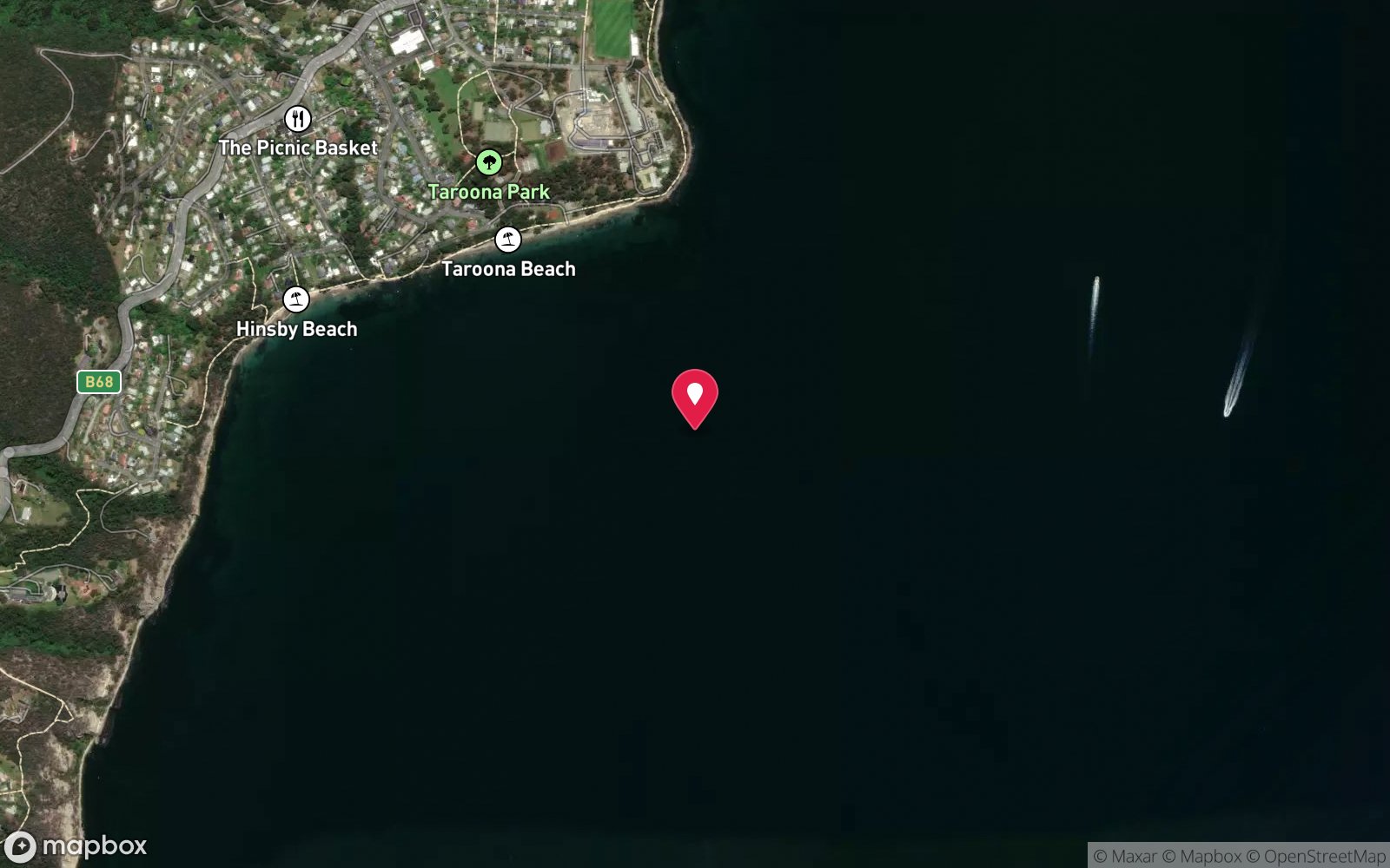
7 pinned sites. Pins marked approximate on their pages show the general area only; not for navigation.
Satellite views
Droughty Point: frequently asked questions
How deep is Droughty Point?
Droughty Point reaches a maximum depth of 10 m, with the shallowest part at about 2 m; most of the dive is spent around 6 m.
What certification do I need to dive Droughty Point?
Open Water is the recommended minimum. Rated intermediate because of boat traffic overhead, cold water.
Can I shore dive Droughty Point?
No, it is reached by boat (about 12 minutes). A dive centre is required: boat access only.
When is the best time to dive Droughty Point?
Late summer to autumn (February-May) for settled weather and best visibility; diveable year-round between fronts.
What marine life will I see at Droughty Point?
Regularly recorded: Sponges, sea squirts, crayfish (few), flathead, leatherjackets, wrasse, Northern Pacific seastars (invasive).
What wetsuit do I need at Droughty Point?
Drysuit strongly recommended year-round; 7 mm semi-dry or two-piece 7 mm wetsuit with hood and gloves is the minimum in summer.
How cold is the water at Droughty Point?
Typically 14-18 °C in summer and 9-12 °C in winter.
What are the main hazards at Droughty Point?
Low visibility; boat traffic in the Derwent; exposed to southerlies; do not disturb historic material. See the hazards section above for the full list.
Where is the nearest recompression chamber to Droughty Point?
Royal Hobart Hospital Hyperbaric Medicine Unit (Hobart CBD); DAN emergency hotline 1800 088 200. In an emergency call 000, then DAN Asia-Pacific on 1800 088 200.
Diving in Hobart & Derwent
Hobart has the Tinderbox Marine Reserve, with its snorkel trail, weedy seadragons and easy shore access, the Derwent's wrecks and the Alma dredge, the Blackmans Bay and Kingston reefs, and the Iron Pot at the river mouth. Water is 11–17 °C and visibility improves quickly downstream of the city.
Getting there: All within 30–40 minutes of the city with shore entries; Hobart dive shops run charters and hire drysuits.
Sources
Data confidence: Low · Being verified: Rotuma remains location and condition unconfirmed; coordinates approximate.. Last updated September 2026. Know this site better? How to send a correction